The best road cycling routes in Cumbre Vieja
4.5
(99)
2,673
riders
65
rides
Road cycling routes in Cumbre Vieja traverse a unique volcanic landscape on La Palma, characterized by dramatic geological formations and diverse terrain. Cyclists encounter roads winding through black volcanic earth, contrasting with green pine forests, and areas marked by numerous volcanic cones and craters. The region features significant elevation changes, with routes offering demanding climbs and descents across its varied topography. The Cumbre Nueva central ridge is a prominent feature, known for its cloud formations that cascade over the mountains.
…Last updated: July 1, 2026
4.3
(6)
76
riders
Hard road ride. Very good fitness required. Mostly well-paved surfaces and easy to ride.
5.0
(2)
49
riders
41.1km
02:32
1,080m
1,080m
Hard road ride. Very good fitness required. Mostly well-paved surfaces and easy to ride.

Sign up for free
22
riders
139km
09:07
4,270m
4,270m
Hard road ride. Very good fitness required. Some segments of this route may be unpaved and difficult to ride.
29
riders
Moderate road ride. Good fitness required. Mostly well-paved surfaces and easy to ride.
19
riders
33.9km
01:54
740m
740m
Moderate road ride. Good fitness required. Mostly well-paved surfaces and easy to ride.
Get access to more routes and recommendations from other explorers.
Sign up for free
Already have an account?
Our route recommendations are based on thousands of hikes, rides, and runs completed by other people on komoot.
Start today with a free account
Your next adventure awaits.
Login or Signup
Popular around Cumbre Vieja
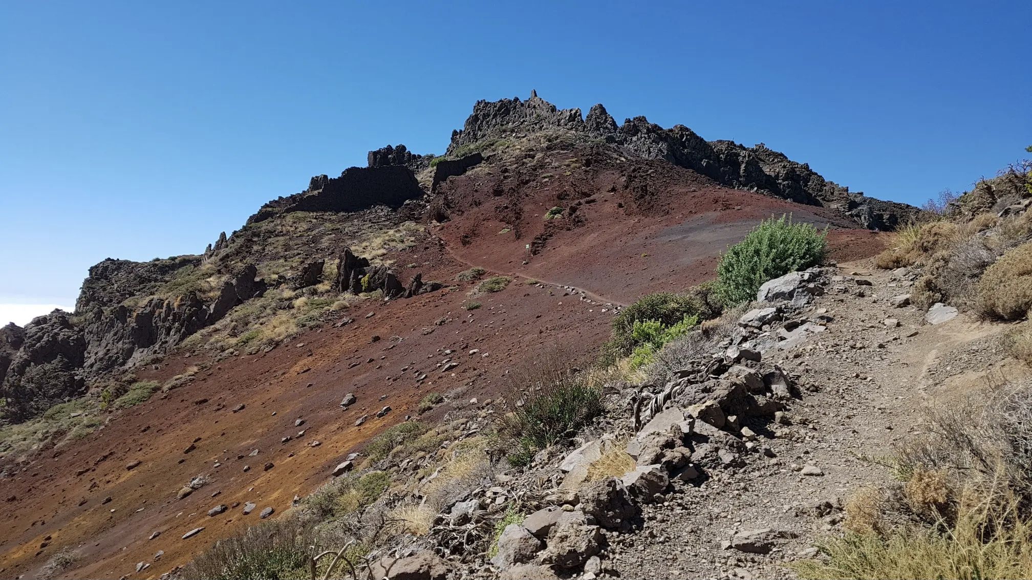
GR 131 El Bastón – La Palma in all its splendour
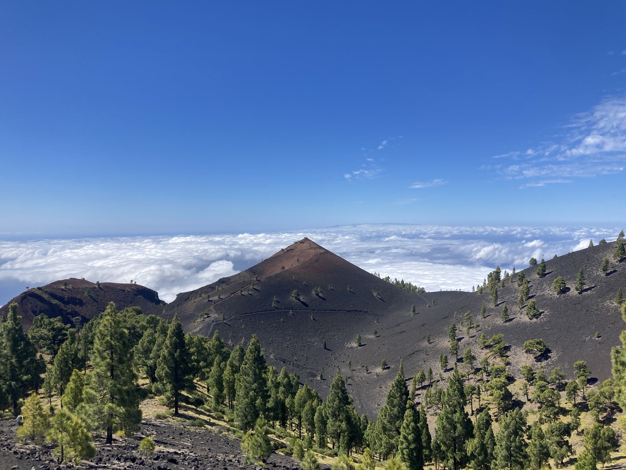
Transvulcania - traverse la Palma in the Canary Islands on the GR 131
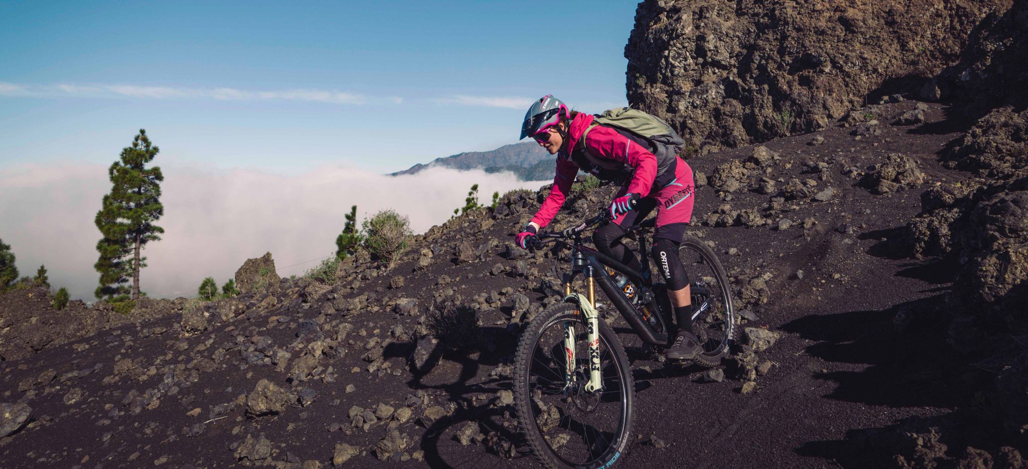
La Palma – my favourite Tours on the Canary Islands’ Isla Bonita
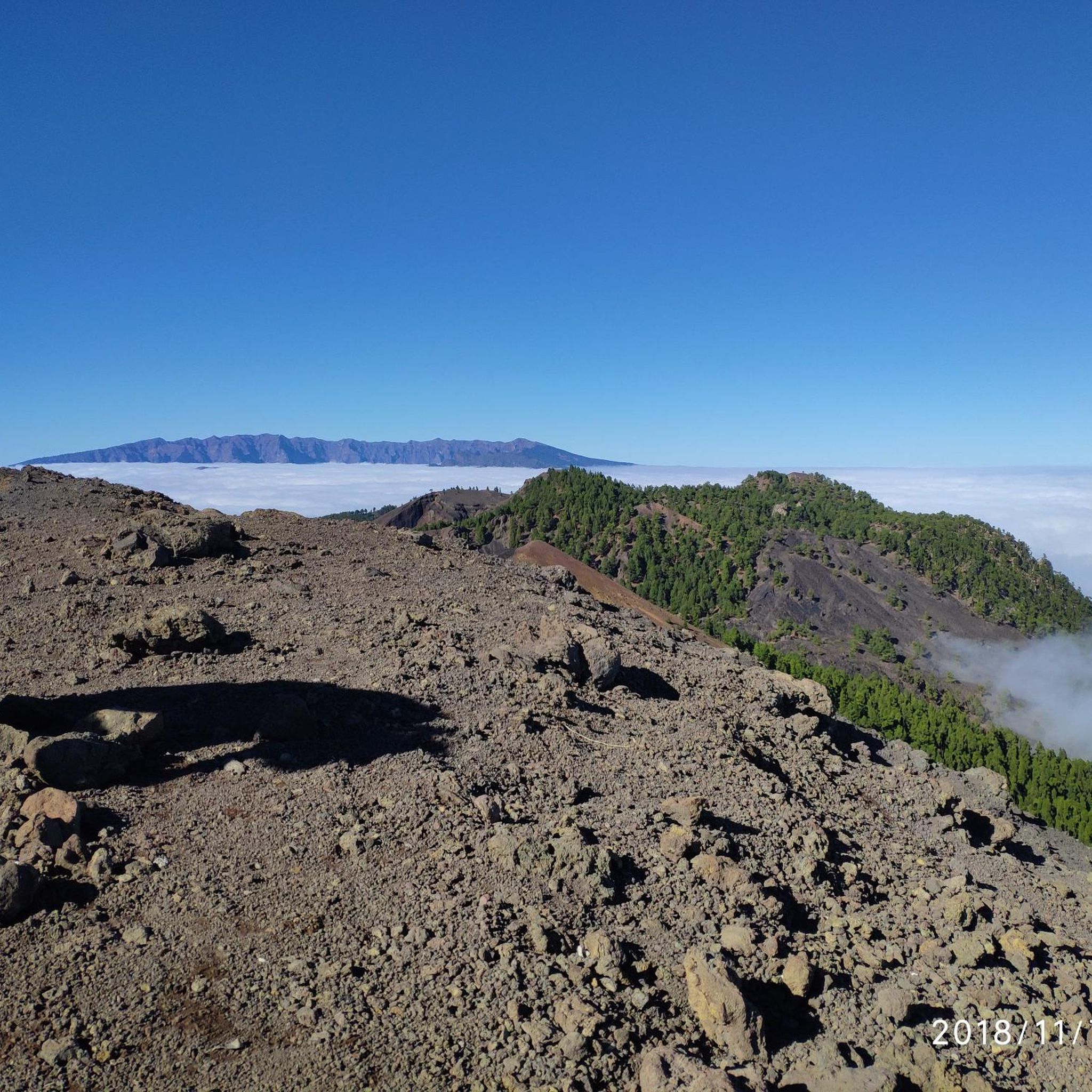
Hiking in Cumbre Vieja
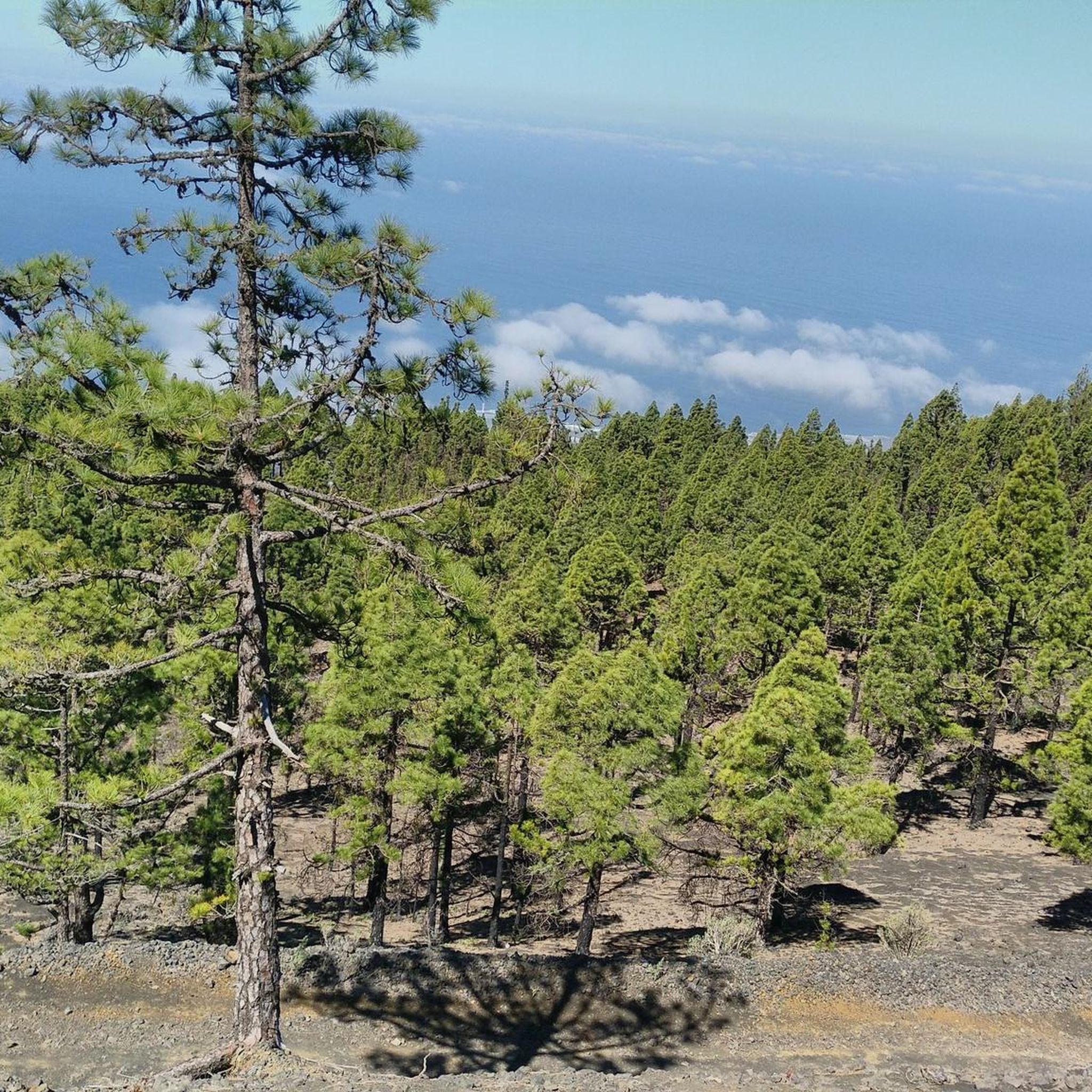
Cycling in Cumbre Vieja
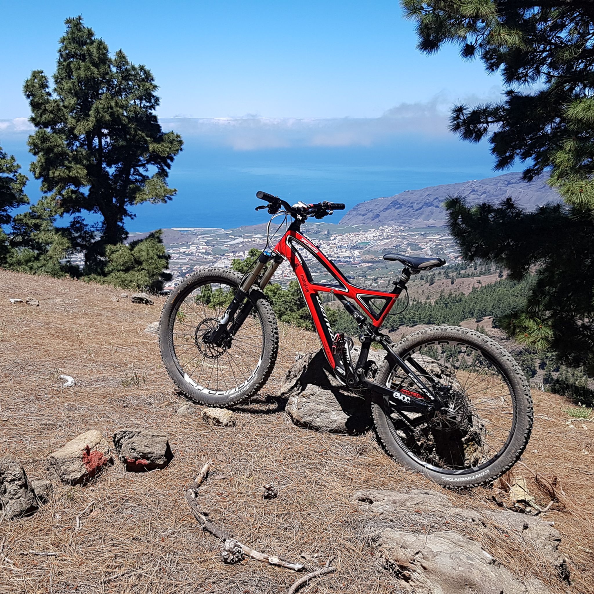
MTB Trails in Cumbre Vieja
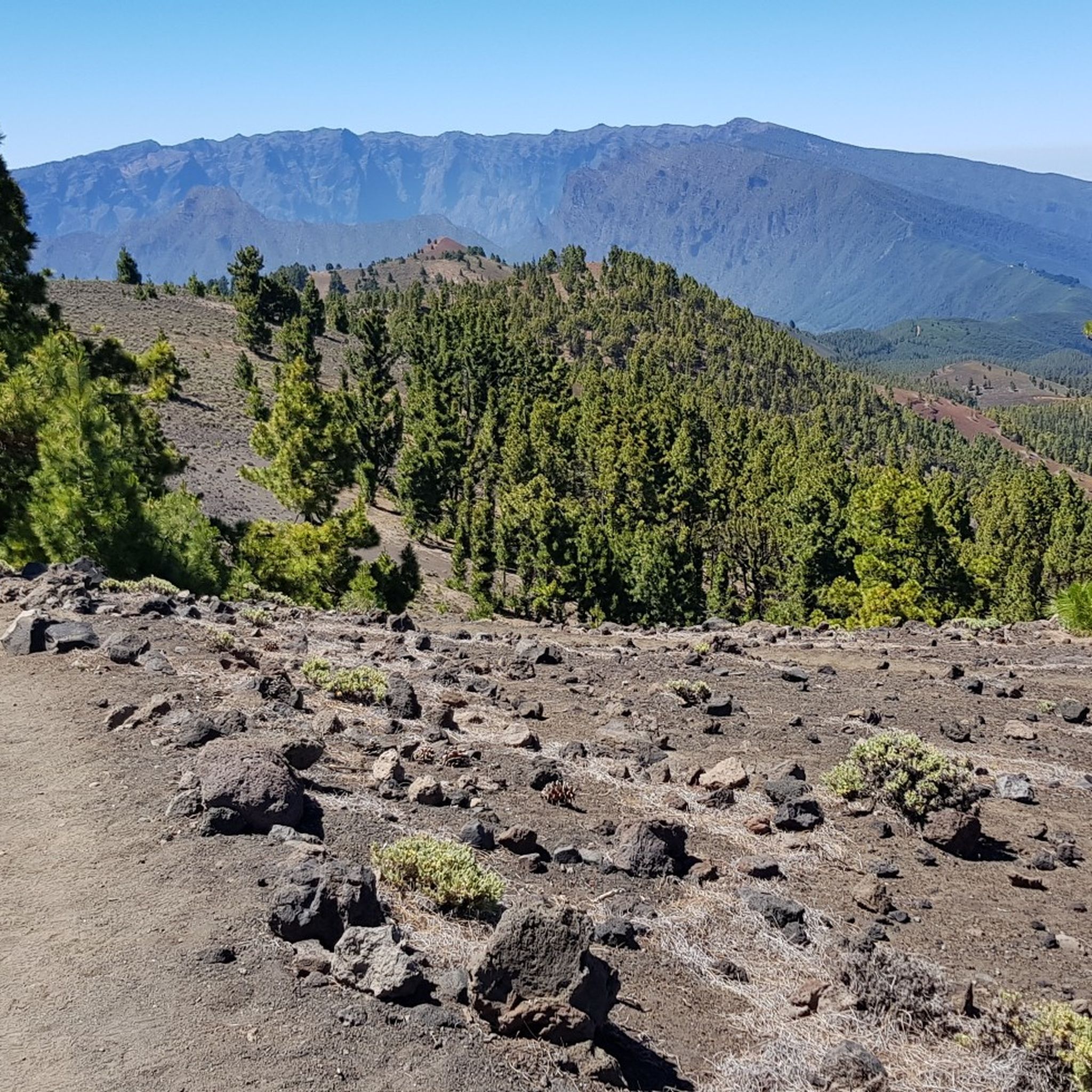
Running Trails in Cumbre Vieja
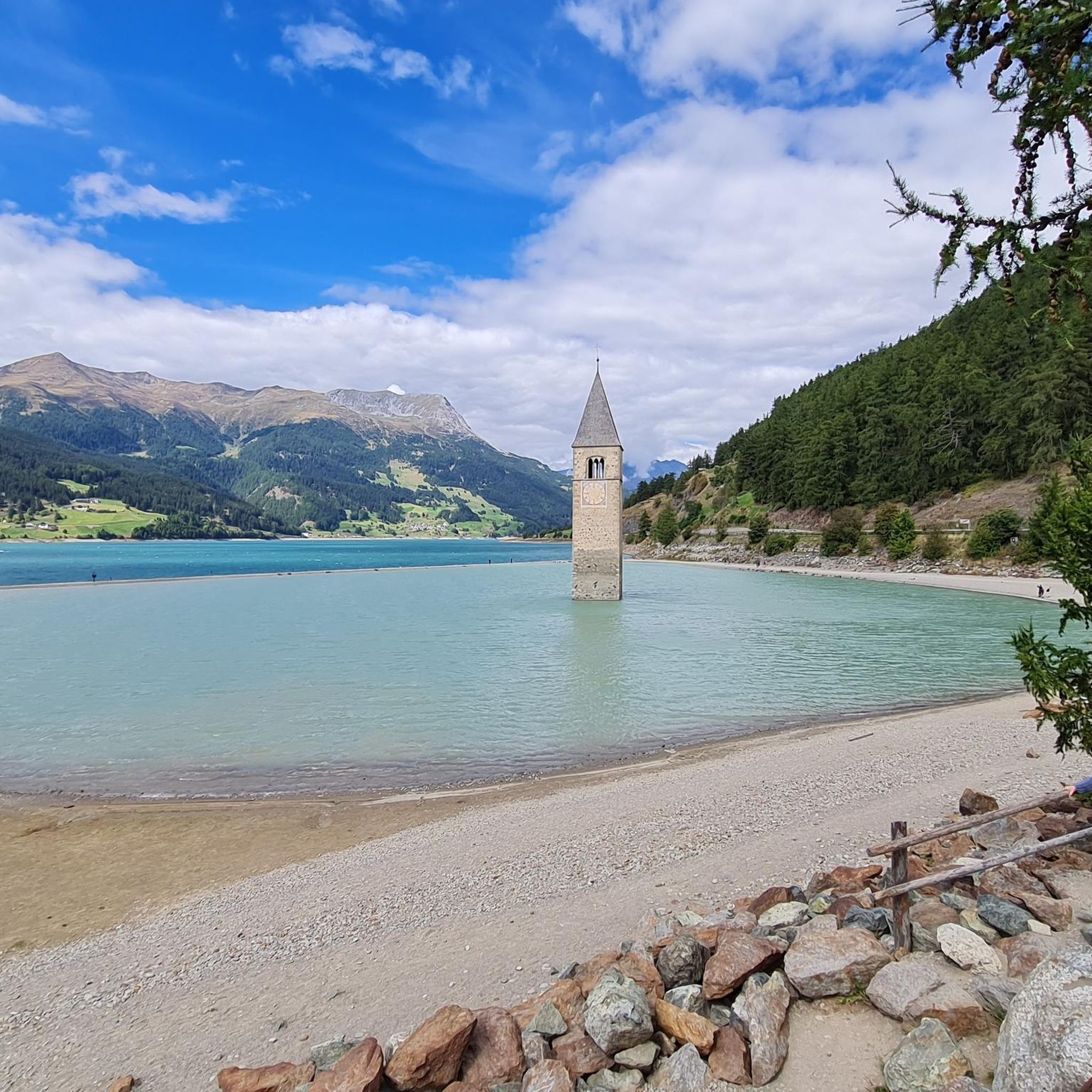
Mountain Hikes in Cumbre Vieja
Other adventures in Cumbre Vieja


Tips from the Community

Unfortunately I didn't take any photos, but you are really rewarded for your efforts on this tour. The sea, the volcanoes and the lava fields are your constant companions. The asphalt is good, there is little traffic and if you want you can have something to eat in one of the kiosks with a fantastic view. The climb to Fuencaliente is, as you would expect, tough.
0
0

Perfectly smooth asphalt and stunning experience to ride so close the fresh lava fields
0
0

This section is quite boring. But you‘re paying your price for the spectacular descent to El Faro.
0
0

Los Canarios is the capital of the municipality of Fuencaliente, on the island of La Palma (Canary Islands, Spain). It is located at 700 m above sea level. n. m., in a hole surrounded by volcanic cones covered with pine forests. The population center is more concentrated on both sides of the main road, and outside it it is more spread out. The fact that it is far from other population centers, that it is the southernmost town on the island, and that it is almost immersed in dense pine forests, gives it an aspect of isolation. At a certain time, the cultivation of cereals, fruit trees and vineyards was important in its surroundings. Nowadays, the vineyard is still important, plus the small self-sufficiency orchards. https://www.youtube.com/watch?v=sfeasyaLpV8
0
0
On clear days you can see Teide, El Hierro and La Gomera, you can't miss it https://www.youtube.com/watch?v=UqwZv4OZQ8k
1
0
From this viewpoint you can see panoramic views of the main population center of Fuencaliente, Los Canarios, and the San Antonio Volcano. To the right of this volcanic cone, on its slope, you can see the Roque Teneguía spot. This Roque is a testimony of the ancient volcanism of the region, on which there is a station of rock engravings of the aborigines of the Island.
1
0
The Time viewpoint commands one of the most spectacular views of the island of La Palma: the wide Aridane valley, covered by banana plantations and cut by a deep ravine, Las Angustias, which ends in the charming port of Tazacorte. On very clear days you can glimpse the island of El Hierro. This watchtower located at almost 700 meters above sea level is on the LP-1 highway. My advice is that you go to Bar El Time, right next to the viewpoint valcon and order the best coffee on the Island and drink it on the terrace, the views are even better. Don't forget to try their homemade cakes. Place with incredible views. The attention of 10. They let us come in to have a drink once closing time was over. From here you can see the devastation that the volcano has caused... It is advisable to stop for a drink and disconnect
2
0

Nice place to look into the caldera from above. Torre El Time (is a "fire station") is always worth a detour.
2
0
Frequently Asked Questions
What kind of terrain can I expect when road cycling in Cumbre Vieja?
Cumbre Vieja offers a dramatic and varied volcanic landscape. You'll encounter roads winding through black volcanic earth, contrasting with green pine forests, and areas marked by numerous volcanic cones and craters. The region features significant elevation changes, with routes offering demanding climbs and descents across its varied topography. The Cumbre Nueva central ridge is a prominent feature, known for its mesmerizing cloud formations that cascade over the mountains.
Are there road cycling routes suitable for beginners in Cumbre Vieja?
While many routes in Cumbre Vieja are challenging, there are options for less experienced riders. Out of 73 available road cycling routes, 4 are rated as easy and 38 as moderate. For example, the route Bakery with Cakes and Coffee – SuperDino Los Canarios loop from Las Manchas is a moderate 29.5 km trail with manageable elevation gain, often completed in about 1 hour 24 minutes.
What are some challenging road cycling routes for experienced riders?
Experienced road cyclists will find plenty of demanding routes in Cumbre Vieja, with 31 routes rated as difficult. A particularly challenging option is the El Time Viewpoint – El Pilar Recreation Area loop from La Palma, a difficult 138.9 km path featuring significant elevation gain of over 4,200 meters. Another difficult route is From Las Manchas to the Old Fuencaliente Lighthouse – circular route in the South of La Palma, a 53.4 km trail with over 1,300 meters of ascent.
What kind of natural landmarks or viewpoints can I see along the road cycling routes?
Cumbre Vieja is rich in natural landmarks and viewpoints. Cyclists can pass by sites like the Hoyo Negro Crater, a significant volcanic formation. The Llano del Jable Astronomical Viewpoint offers magnificent panoramic views of the Aridane Valley and the Caldera de Taburiente. You might also encounter the impressive Martín Volcano with its grandiose crater, or the Birigoyo Peak, providing stunning vistas.
Are there any circular road cycling routes in Cumbre Vieja?
Yes, many road cycling routes in Cumbre Vieja are circular, allowing you to start and finish at the same point. An example is From Las Manchas to the Old Fuencaliente Lighthouse – circular route in the South of La Palma, which offers a 53.4 km loop through volcanic landscapes. Another is the Refugio El Pilar Picnic Area – Refugio del Pilar loop from La Palma, a moderate 21.4 km circular route.
What do other road cyclists say about the routes in Cumbre Vieja?
The road cycling routes in Cumbre Vieja are highly rated by the komoot community, with an average score of 4.5 stars from over 90 reviews. Cyclists often praise the unique volcanic geology, extensive lava fields, and pine forests that define the routes, as well as the diverse options available for different ability levels.
What is the best time of year to go road cycling in Cumbre Vieja?
La Palma generally enjoys a mild climate year-round, making road cycling possible in most seasons. However, the 'perpetual rolling curtain cloud' over the Cumbre Nueva central ridge can bring cooler, misty conditions at higher elevations, particularly during certain times of the year. For the most consistent clear weather and comfortable temperatures, spring and autumn are often ideal, though winter cycling is also popular due to the mild conditions compared to mainland Europe.
Are there any cafes or places to stop for refreshments along the road cycling routes?
While specific cafes directly on every route are not listed, the region has towns and villages where you can find refreshments. For instance, the route Bakery with Cakes and Coffee – SuperDino Los Canarios loop from Las Manchas explicitly mentions a bakery, indicating that such amenities are available in populated areas near the routes. Planning your stops in towns like Las Manchas or Los Canarios is recommended.
Can I find family-friendly road cycling options in Cumbre Vieja?
While many routes in Cumbre Vieja feature significant elevation changes and are rated moderate to difficult, there are some easier options that might be suitable for families with older children or those looking for a less strenuous ride. With 4 easy routes available, it's possible to find flatter sections or shorter loops. Always check the route's elevation profile and distance to ensure it matches your family's fitness level.
Where can I find information about parking for road cycling in Cumbre Vieja?
Specific parking information for each starting point is not detailed in the route descriptions. However, popular starting points for routes, such as Las Manchas or areas near viewpoints like El Time, typically offer parking facilities. It's advisable to check local maps or use navigation apps to identify designated parking areas close to your chosen route's start.
Are there any specific natural features unique to Cumbre Vieja that I should look out for while cycling?
Absolutely. The most striking feature is the dramatic volcanic geology, including numerous cones and craters formed by millennia of eruptions, such as the 2021 Tajogaite volcano. You'll also witness ancient and recent lava flows, like those from the 1971 Teneguía eruption. The iconic 'perpetual rolling curtain cloud' that cascades over the Cumbre Nueva central ridge is a mesmerizing visual spectacle, especially from higher vantage points like Pico Birigoyo, offering views towards the massive Caldera de Taburiente.
Most popular routes in Cumbre Vieja
Most popular attractions in Cumbre Vieja

Get inspired with the komoot mobile app


Explore more
Browse the best Road cycling routes in other regions.
