The best traffic-free bike rides in Gifford Pinchot National Forest
4.9
(16)
559
riders
18
rides
Touring cycling in Gifford Pinchot National Forest offers routes through a diverse landscape of dense evergreen forests, river valleys, and volcanic terrain. This region, one of Washington's oldest national forests, encompasses over 1.3 million acres, providing varied topography for cyclists. Routes often feature significant elevation gains, winding through areas with views of Mount St. Helens and Mount Adams. The forest's terrain includes both paved and unpaved sections, catering to different touring cycling preferences.
Best no traffic touring cycling routes in…
Last updated: July 7, 2026
5.0
(1)
9
riders
35.5km
02:54
790m
790m
The Panther Creek loop from Panther Creek Campground offers a challenging touring cycling experience through the scenic Gifford Pinchot National Forest. Expect a demanding ride covering 22.1 miles (35.5 km)…
5
riders
70.3km
04:28
780m
780m
The Camp Five Hill loop from BZ Corner offers a diverse touring cycling experience, transitioning from open roads to quieter country lanes. You'll pedal through rolling pine forests, past old…

Sign up for free
3
riders
35.6km
02:56
780m
780m
Hard bike ride. Very good fitness required. Mostly paved surfaces. Suitable for all skill levels.
8
riders
63.5km
05:51
1,270m
1,270m
Hard bike ride. Very good fitness required. Mostly paved surfaces. Suitable for all skill levels.
13
riders
69.0km
06:00
1,200m
1,200m
Embark on the Bridge over Catherine Creek – Klickitat Park loop for a challenging touring cycling experience through the stunning Columbia River Gorge. This difficult 42.9-mile (69.0 km) route features…
Get access to more routes and recommendations from other explorers.
Sign up for free
Already have an account?
Our route recommendations are based on thousands of hikes, rides, and runs completed by other people on komoot.
Start today with a free account
Your next adventure awaits.
Login or Signup
Popular around Gifford Pinchot National Forest

Pacific Crest Trail from Mexico to Canada – 4,200 kilometres of wilderness

The tour of your life – music trails on the Pacific coast
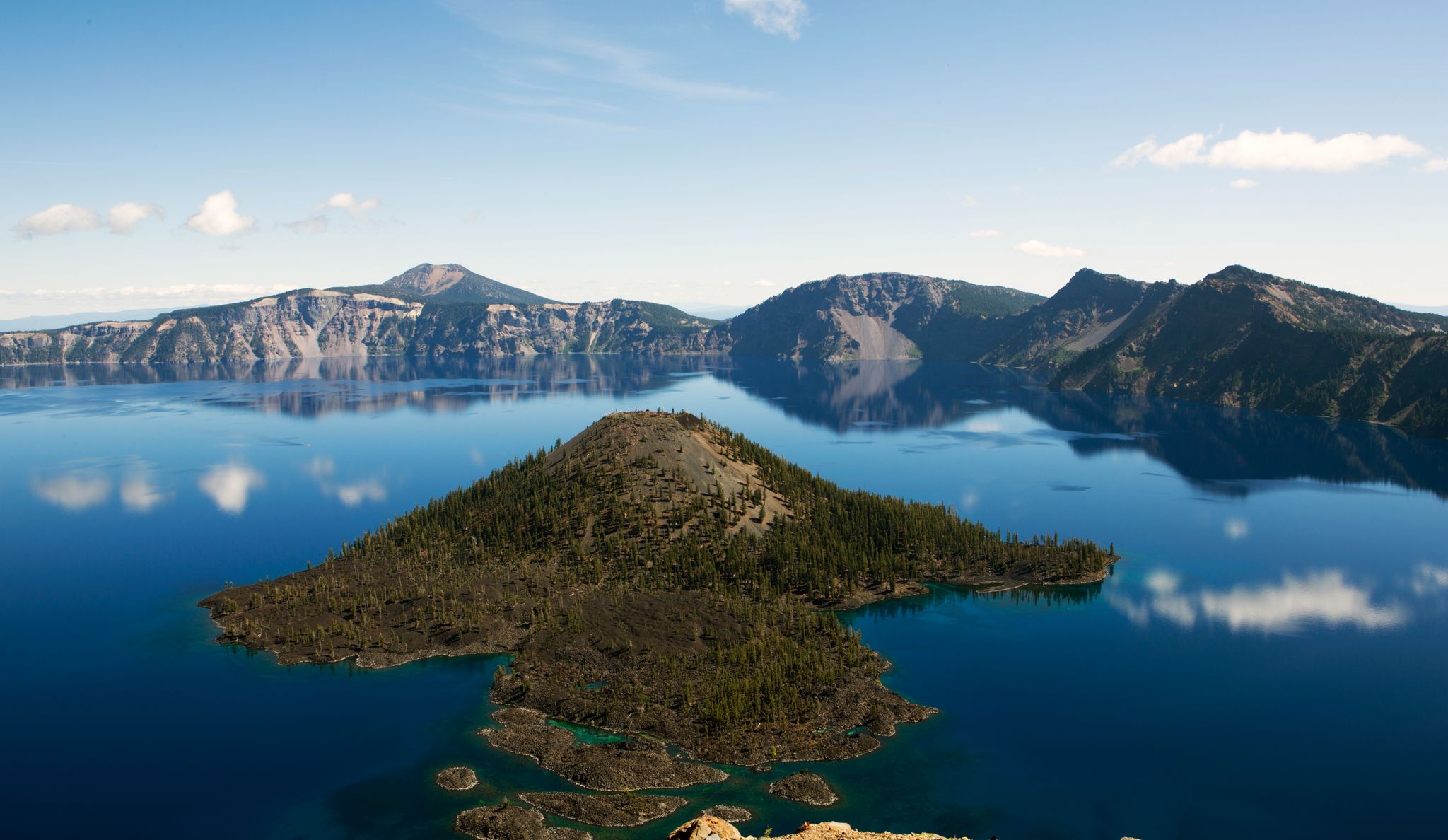
Volcanic peaks and glistening shores – discover Oregon and Washington

Traffic-free bike rides in Gifford Pinchot National Forest
Traffic-free bike rides in Gifford Pinchot National Forest
Other adventures in Gifford Pinchot National Forest


Tips from the Community

Klickitat Park is a picturesque and tranquil spot nestled right along the river. It is an ideal spot for a picnic along the water or a place to cool off on a hot day. There is plenty of parking and a vault toilet; however, you'll need to bring your own drinking water.
0
0

Just south of Panther Creek you will find some very nice flat campsites nestled into the lush forest. It feels like camping in the jungle! A wide metal bridge crosses Panther Creek. You can access the creek at the south side of the bridge to collect water.
2
0

Frequently Asked Questions
How many no traffic touring cycling routes are available in Gifford Pinchot National Forest?
There are 19 dedicated no traffic touring cycling routes in Gifford Pinchot National Forest featured in this guide. These routes offer a variety of experiences, from challenging climbs to scenic loops through diverse landscapes.
What is the best time of year for no traffic touring cycling in Gifford Pinchot National Forest?
The best time for touring cycling in Gifford Pinchot National Forest is generally from late spring through early fall. During these months, snow has typically melted from higher elevations, and weather conditions are more stable. Always check local weather and road conditions before heading out, as conditions can change rapidly, especially at higher altitudes.
Are there any easy no traffic touring cycling routes suitable for beginners in the forest?
While many routes in Gifford Pinchot National Forest involve significant elevation gains and are rated as difficult, there are a couple of easier options available. These routes are designed to be less strenuous, offering a gentler introduction to touring cycling in the region. Always check the route details for specific difficulty ratings and elevation profiles.
What kind of terrain can I expect on these no traffic touring cycling routes?
The terrain in Gifford Pinchot National Forest is varied. While many dedicated touring routes are mostly paved, you should be prepared for significant elevation gains. Some forest roads can be unpaved or rough, so a robust touring setup or gravel-capable bike with tires wider than 35c is often recommended for mixed-surface routes. The landscape ranges from dense evergreen forests and river valleys to volcanic terrain and alpine meadows.
Are there any circular no traffic touring cycling routes in Gifford Pinchot National Forest?
Yes, several routes are designed as loops, allowing you to start and end at the same point. For example, the Panther Creek loop from Panther Creek Campground offers a 35.5 km ride with significant elevation, and the Camp Five Hill loop from BZ Corner is a longer 70.3 km option. These loops provide a convenient way to explore the region without needing shuttle arrangements.
What natural attractions can I see along the no traffic touring cycling routes?
Gifford Pinchot National Forest is rich in natural beauty. You can encounter stunning volcanic landscapes, including views of Mount St. Helens, Mount Adams, and Mount Rainier. The Lewis River area, accessible from routes like the Panther Creek loop, features impressive waterfalls such as Lower Lewis River Falls and Hidden Falls. Other notable features include old-growth forests, alpine meadows, and unique lava formations like the Ape Caves (though not directly bike-accessible, some routes pass nearby).
Are there any viewpoints or landmarks accessible from the no traffic touring cycling routes?
Yes, the forest offers numerous scenic viewpoints and landmarks. While cycling, you might catch glimpses of the majestic volcanoes. For specific points of interest, consider visiting the Johnston Ridge Observatory, which provides dramatic views of Mount St. Helens, or exploring trails like the Boundary Trail and Hummocks Trail, which offer unique perspectives on the volcanic aftermath.
What should I know about navigation and cell service when touring cycling in Gifford Pinchot National Forest?
Cell service can be unreliable or nonexistent in many parts of Gifford Pinchot National Forest. It's crucial not to rely solely on GPS for navigation, as it may direct you to unmaintained or impassable roads. Always carry a hard copy map and consider downloading offline maps on your device. Ranger stations and the Forest Headquarters can provide trail guide pamphlets with specific information.
What do other touring cyclists enjoy most about the no traffic routes in Gifford Pinchot National Forest?
The komoot community highly rates touring cycling in Gifford Pinchot National Forest, with an average score of 4.9 stars. Reviewers often praise the solitude and natural beauty of the routes, describing them as 'cycling nirvana' with 'beautiful climbs, beautiful drops,' and well-maintained forest roads that are 'practically devoid of vehicles.' The stunning views of the volcanic peaks and the diverse landscapes are frequently highlighted.
Are there any specific safety considerations for no traffic touring cycling in this region?
Yes, safety is paramount. Be prepared for rapid weather changes, especially at higher elevations. Many routes involve significant climbing, so ensure you have adequate fitness and equipment. For mixed-surface routes, wider tires and a water filter are recommended, as commercial water sources are scarce. While these routes aim for low traffic, some forest roads may still encounter logging trucks or other vehicles, and some trails are shared with motorized vehicles, so always remain aware of your surroundings.
Are there any routes that pass through the Lewis River area, known for its waterfalls?
Yes, routes like the Panther Creek loop from Panther Creek Campground are in the vicinity of the Lewis River area. This region is renowned for its natural water attractions, including multiple waterfalls along a 7-mile trail, with the impressive Lower Lewis River Falls being a major highlight.
Most popular routes in Gifford Pinchot National Forest
Most popular attractions in Gifford Pinchot National Forest

Get inspired with the komoot mobile app


Explore more
Browse the best Cycling routes in other regions.
