The best road cycling routes in Gifford Pinchot National Forest
4.9
(16)
731
riders
27
rides
Road cycling in Gifford Pinchot National Forest offers routes through diverse landscapes in southern Washington. The region is characterized by extensive evergreen forests, dramatic volcanic terrain around Mount St. Helens, and scenic river valleys. While many roads are unpaved, notable paved routes provide access to these natural features. Cyclists can navigate varying elevations, from valley floors to higher ridges, experiencing the geological history and natural beauty of the area.
Best road cycling routes in Gifford Pinchot National Forest
- The most popular road cycling route is Longmire, Paradise, Valley Road, and Ruby Falls loop — Mount Rainier National Park, a 29.4 miles (47.2 km) trail that takes 2 hours 35 minutes to complete. This difficult route offers views of the Mount Rainier area, accessible from the northern reaches of the forest.
- Another top favourite among local road cyclists is Camp Five Hill loop from BZ Corner, a moderate 41.8 miles (67.3 km) path. This route explores the southern-central part of the forest, featuring rolling hills and forested sections.
- Local road cyclists also love the Longmire Historic District – Twin Firs Loop Trail loop from Packwood, a 49.5 miles (79.6 km) trail leading through forested areas and offering distant views, often completed in about 4 hours 25 minutes.
- Road cycling in Gifford Pinchot National Forest is defined by volcanic landscapes, dense evergreen forests, and river corridors. The network offers options for different ability levels, from moderate rides to challenging climbs.
- The routes in Gifford Pinchot National Forest are highly rated by the komoot community with an average score of 4.8 stars from more than 10 reviews. More than 600 road cyclists have used komoot to explore Gifford Pinchot National Forest's varied terrain.
Last updated: July 7, 2026
4.0
(1)
32
riders
47.2km
02:36
1,030m
1,030m
If you're seeking a truly epic road cycling adventure with a serious climb, the Longmire, Paradise, Valley Road, and Ruby Falls loop delivers. This difficult 29.4-mile (47.2 km) route takes you through diverse ecosystems, from dense old-growth forests to high alpine meadows, all while gaining a substantial 3371 feet (1028 metres) in about 2 hours and 35 minutes. You'll be treated to breathtaking views of Mount Rainier and pass stunning features like Ruby Falls, a highlight cascading dramatically over the road.
Planning your visit means preparing for a challenging ride within Mount Rainier National Park. Be aware of park entrance requirements and check for seasonal road openings, as the higher elevations are often snow-covered outside of summer and early fall. Parking is available at Longmire, but arriving early is recommended, especially during peak season, to ensure you get a spot before starting your journey.
This loop is renowned for its sustained ascent to Paradise, a defining feature that offers a significant workout amidst spectacular surroundings. The route's well-maintained infrastructure, despite the steep and winding terrain, ensures a quality cycling experience. It's a popular choice for advanced road cyclists looking for the best road cycling loops Mount Rainier area has to offer, combining physical challenge with unparalleled natural beauty.
17
riders
67.3km
03:04
750m
760m
Moderate road ride. Good fitness required. Mostly well-paved surfaces and easy to ride.

Sign up for free
9
riders
The Narada Falls – Subalpine Wildflower Meadows loop from Cougar Rock Ranger Station offers a challenging road cycling experience through Mount Rainier National Park. You'll climb through lush old-growth forests, pass impressive cascades like Narada Falls, and be rewarded with panoramic views of Mount Rainier and other Cascade volcanoes. From late July through mid-August, the subalpine meadows explode with vibrant wildflowers, adding another layer of beauty to this demanding ride.
This moderate 22.5-mile (36.2 km) route involves a significant 2917 feet (889 metres) of elevation gain, typically taking around 2 hours and 16 minutes. Be prepared for steep, winding park roads, some of which may be unpaved. Always check the park's road status before you go, as closures due to weather or maintenance are common, and riding on summer weekdays or during the shoulder seasons can help you avoid heavy traffic.
What makes this route stand out is its unique blend of physical exertion and access to iconic natural features. It's a fantastic way to experience the dramatic volcanic terrain and diverse ecosystems of Mount Rainier, from dense forests to high-altitude meadows. The opportunity to see Narada Falls and the colorful wildflower displays makes the effort truly worthwhile for cyclists seeking both a workout and deep immersion in nature.
17
riders
Easy road ride. Great for any fitness level. Mostly well-paved surfaces and easy to ride.
5.0
(1)
14
riders
56.4km
04:00
1,190m
1,190m
If you're looking for a significant challenge on two wheels, the Larch Mountain touring cycling route delivers. This difficult 35.0-mile (56.4 km) journey climbs 3905 feet (1190 metres) over roughly 4 hours, taking you through dense old-growth forests and past stunning waterfalls like Multnomah and Ecola Falls. The consistent 4.1% average grade makes for a steady workout, culminating in panoramic views from Sherrard Point, where you can spot five Cascade volcanoes on a clear day.
Planning your visit requires some foresight, as there are no amenities for food or water directly on the climb; you'll need to pack everything in. Vehicle access to the upper road is closed from November through late May or early June, but cyclists can still access it. The paved road is in excellent condition, though it lacks a shoulder, so stay alert.
Larch Mountain is a recognized destination for cyclists within the Columbia River Gorge, celebrated for its challenging ascent and rewarding scenery. It's part of the Columbia River Gorge National Scenic Area, adding to its allure as a prime spot for advanced touring cycling routes. This route is ideal for experienced cyclists seeking a demanding ride with spectacular natural beauty.
Get access to more routes and recommendations from other explorers.
Sign up for free
Already have an account?
Our route recommendations are based on thousands of hikes, rides, and runs completed by other people on komoot.
Start today with a free account
Your next adventure awaits.
Login or Signup
Popular around Gifford Pinchot National Forest

Pacific Crest Trail from Mexico to Canada – 4,200 kilometres of wilderness

The tour of your life – music trails on the Pacific coast
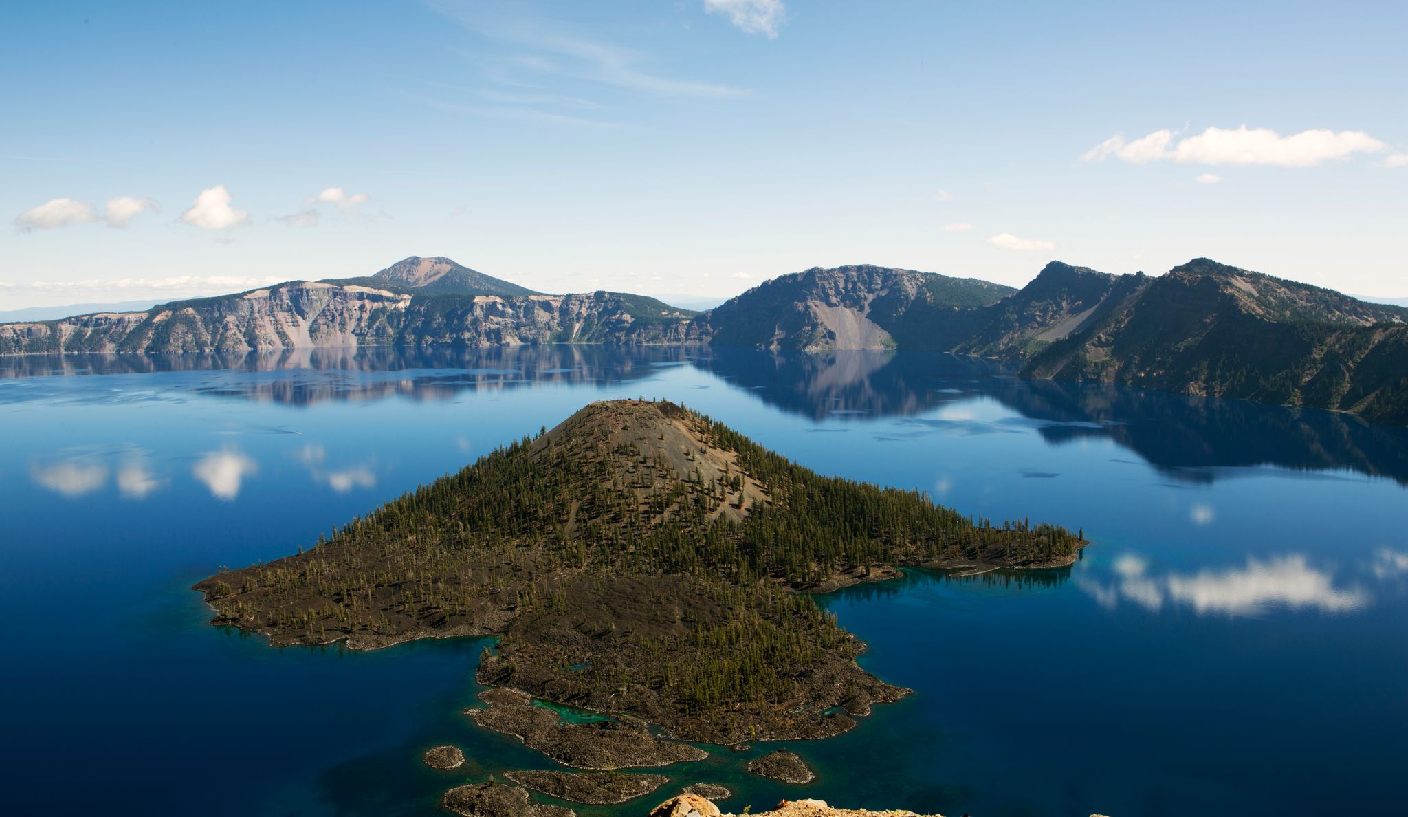
Volcanic peaks and glistening shores – discover Oregon and Washington
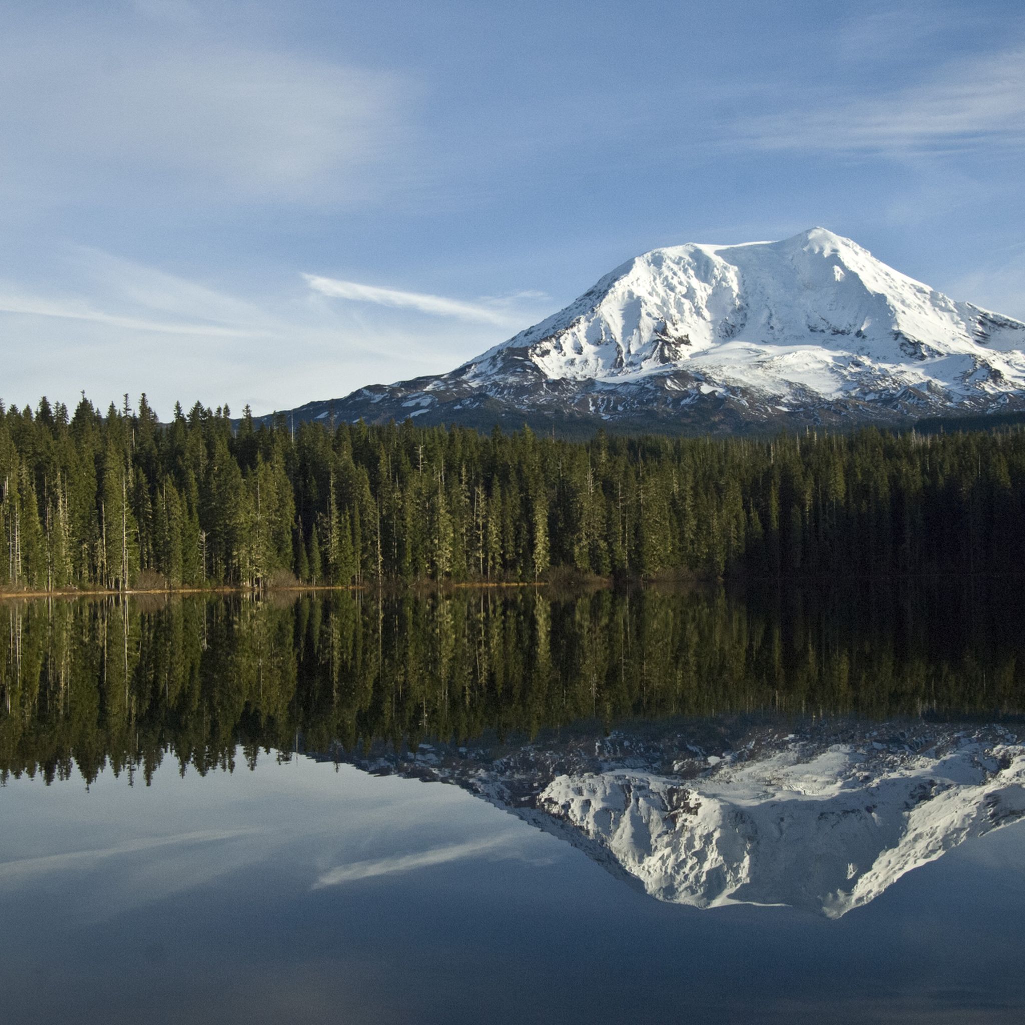
Hiking in Gifford Pinchot National Forest
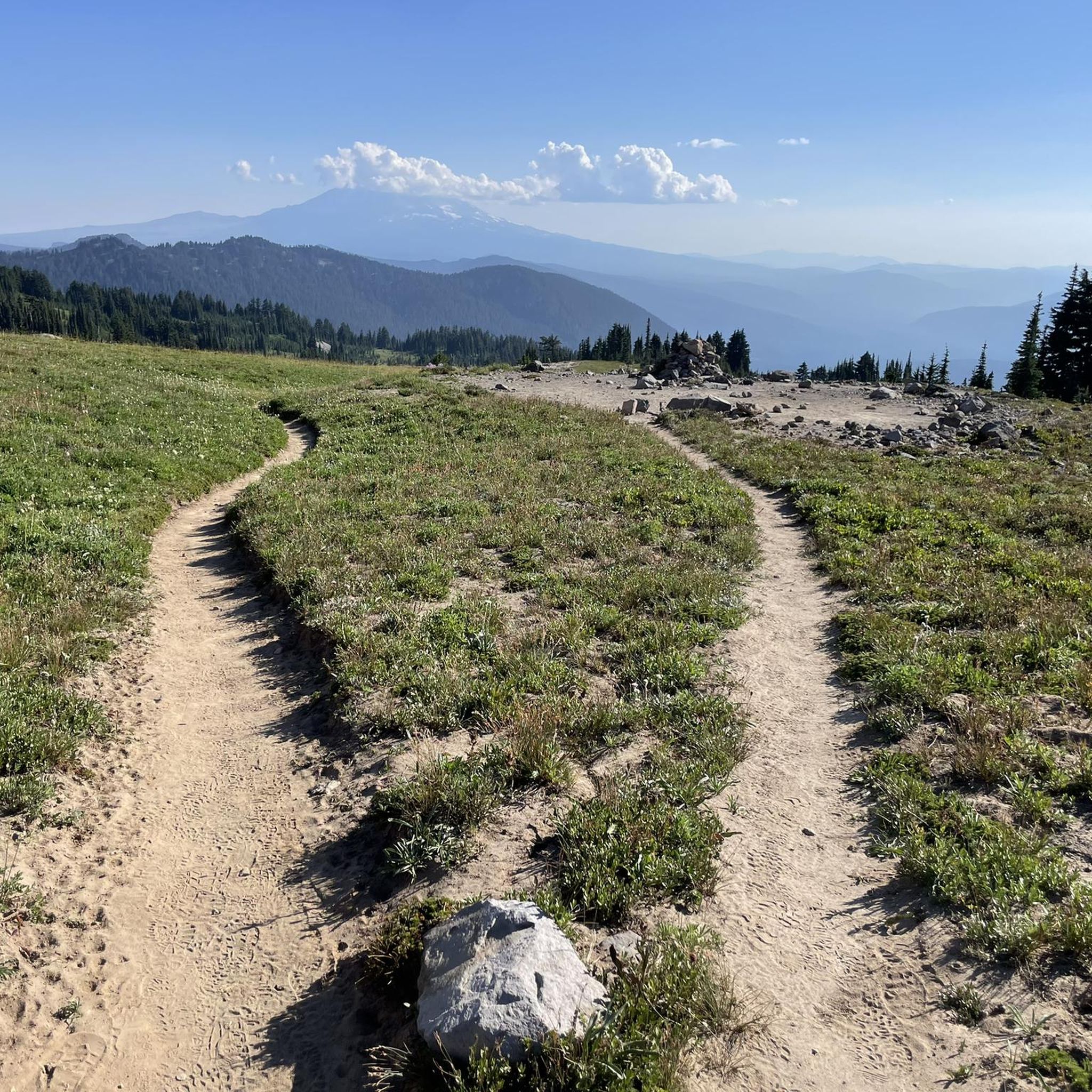
Running Trails in Gifford Pinchot National Forest
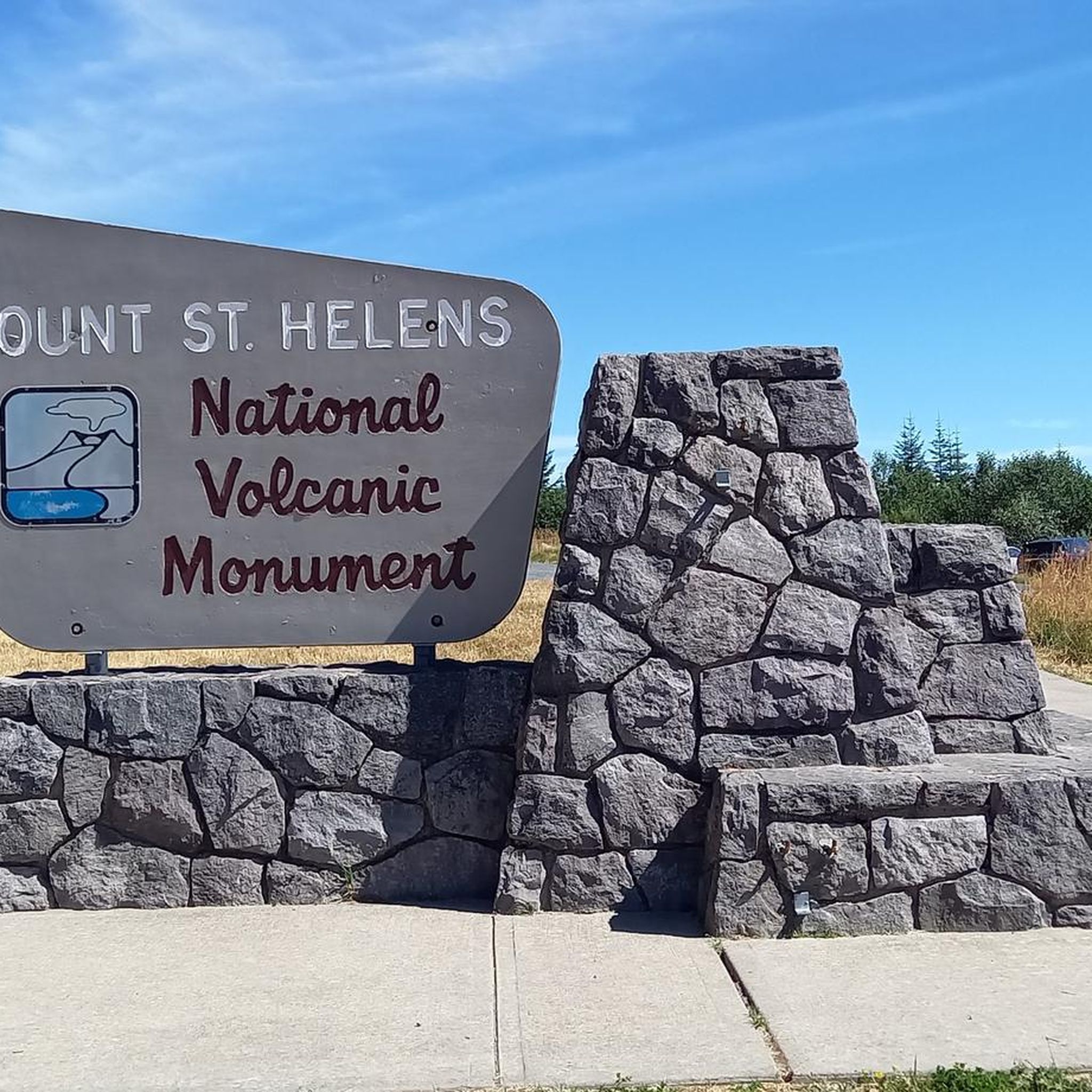
Cycling in Gifford Pinchot National Forest
MTB Trails in Gifford Pinchot National Forest
Gravel biking in Gifford Pinchot National Forest
Other adventures in Gifford Pinchot National Forest


Tips from the Community


Beautiful hike. Crowded. Make sure you bring water as there is no where to fill up. Not even visitor center. No restrooms. Just overstuff porta potties. Come early. Parking difficult. We got here at 310 pm and found some. But there’s a lot of people. We waiting in line to get into park 1 hour! They need a better system!
0
0

Great trail with amazing views of the surrounding mountains and Mt. Rainier.
0
0

One of the most impressive view points to see Mount Rainier. During sunrise and sunset, when there's no wind or rain, this lake right by the park road reflects the mountain in all of its majesty.
0
0

Even if you don't get THE shot — a crisp reflection of Mount Rainier shining off the lake's surface, only possible on a calm, clear day — it's still well worth stopping to take in this beautiful lake just off the road.
0
0

A one-way scenic route departing from Paradise and connecting to Stevens Canyon Road offers breathtaking views of Mount Rainier, alpine meadows, and mountain passes. Please ride with caution.
0
0

This is a great climb on a quiet, lightly trafficked road to the summit of Larch Mountain. Take a jacket for the long descent as it can get cold on the way down even on a warm day!
0
0
Frequently Asked Questions
How many road cycling routes are available in Gifford Pinchot National Forest?
Gifford Pinchot National Forest offers over 30 road cycling routes, catering to various skill levels. You'll find a mix of easy, moderate, and challenging rides throughout the region.
What kind of terrain can I expect on road cycling routes in Gifford Pinchot National Forest?
Road cycling in Gifford Pinchot National Forest features diverse terrain, from lush evergreen forests and river valleys to dramatic volcanic landscapes around Mount St. Helens. While many roads in the forest are unpaved, specific routes offer paved surfaces. Be prepared for varying elevations, including climbs to higher ridges and descents into valley floors.
Are there any easy road cycling routes suitable for beginners or families?
Yes, there are a few easy road cycling routes available. For a less strenuous option, consider the Starvation Creek State Park – Wyeth State Park loop from Viento State Park, which offers a gentler experience. Always check route details for specific elevation gains and distances to ensure it matches your group's ability.
Where can I find challenging road cycling routes in the forest?
For a more challenging experience, Gifford Pinchot National Forest has several demanding routes. The Longmire, Paradise, Valley Road, and Ruby Falls loop — Mount Rainier National Park is a difficult route with significant elevation gain. Another challenging option is the Longmire Historic District – Twin Firs Loop Trail loop from Packwood, which also features substantial climbing.
What are some notable natural features or landmarks I can see while road cycling?
Road cycling routes can lead you to breathtaking natural features. The Mount St. Helens National Volcanic Monument area offers stark and powerful scenery, with views of the blast zone and crater. You might also catch glimpses of Mount Adams. For specific points of interest, consider visiting the Johnston Ridge Observatory for panoramic views of Mount St. Helens, or explore areas near the Lewis River Corridor for natural water attractions.
Are there any waterfalls accessible or visible from road cycling routes?
Yes, the region is known for its waterfalls. While some require a short hike, the Lewis River Corridor, accessible via Wind River Highway, features multiple waterfall stops. Lower Lewis River Falls is a notable highlight in this area. You can find more details on specific waterfall locations in the Waterfalls in Gifford Pinchot National Forest guide.
What is the best time of year for road cycling in Gifford Pinchot National Forest?
The best time for road cycling is generally from late spring through early autumn. Many roads, especially at higher elevations like Forest Road 25 and 99, are subject to seasonal closures during winter and early spring due to snow. Always check current road conditions with the nearest Ranger District office before planning your trip.
What should I be aware of regarding road conditions and safety?
Cyclists should be aware that some paved roads, particularly sections of Forest Road 25 and 99, can have deteriorated surfaces, rough patches, and unexpected dips. Caution is advised due to potential logging trucks and blind curves. It's recommended to wear bright clothing, use lights, and obey traffic laws. Cell phone coverage can be unreliable, so inform others of your itinerary and carry essentials like food, water, and a first-aid kit.
Are there any loop routes for road cycling?
Yes, many routes in Gifford Pinchot National Forest are designed as loops, allowing you to start and end at the same point. Examples include the moderate Camp Five Hill loop from BZ Corner and the more difficult Longmire, Paradise, Valley Road, and Ruby Falls loop — Mount Rainier National Park.
What do other road cyclists enjoy most about the routes in Gifford Pinchot National Forest?
The road cycling routes in Gifford Pinchot National Forest are highly rated by the komoot community, with an average score of 4.8 stars. Reviewers often praise the diverse and dramatic landscapes, the challenge of exploring a volcanic environment, and the beauty of the dense forests and river corridors.
Are there specific paved roads recommended for road cycling?
While a significant portion of the forest's roads are unpaved, notable paved routes include sections of Forest Road 25 and Forest Road 99, which provide access to the Mount St. Helens National Volcanic Monument. The Wind River Highway/Road (NF65) from Carson also offers paved access to the southern-central part of the forest.
Is public transport available to access road cycling routes?
Gifford Pinchot National Forest is a remote area, and public transport options directly to road cycling trailheads are very limited or non-existent. Access is primarily by private vehicle, so planning for parking at your chosen starting point is essential.
Where can I find parking for road cycling routes?
Parking is typically available at trailheads, visitor centers, and designated recreation sites throughout the forest. It's advisable to research specific parking locations for your chosen route in advance, as facilities can vary and some areas may have limited space.
Most popular routes in Gifford Pinchot National Forest
Most popular attractions in Gifford Pinchot National Forest

Get inspired with the komoot mobile app


Explore more
Browse the best Road cycling routes in other regions.
