The best gravel rides in Gifford Pinchot National Forest
5.0
(2)
107
riders
13
rides
Gravel biking in Gifford Pinchot National Forest offers diverse landscapes across its 1.3 million acres in southwest Washington. The terrain features dense evergreen forests, river valleys, and significant volcanic areas, including Mount St. Helens and Mount Adams. Riders can expect extensive trail systems with quiet forest roads, challenging climbs, and routes with substantial elevation gains. The forest's topography provides varied experiences for gravel cyclists.
Best gravel bike trails in Gifford Pinchot National Forest
- The most popular gravel bike trail is Klepatchee Park via West Side Road, a 24.4 miles (39.2 km) trail that takes 4 hours 35 minutes to complete. This route features significant elevation gain through forested areas.
- Another top favourite among local gravel bikers is Gobblers Knob loop from Panther Creek Falls Trailhead, a difficult 50.2 miles (80.8 km) path. This extensive loop navigates varied forest terrain with considerable climbing.
- Local gravel bikers also love the Panther Creek loop from Panther Creek Campground, a 22.1 miles (35.5 km) trail leading through river valleys and forested sections, often completed in about 3 hours 9 minutes.
- Gravel biking in Gifford Pinchot National Forest is defined by dense evergreen forests, river valleys, and volcanic terrain. The network offers options for different ability levels, though many routes feature challenging climbs.
- The routes in Gifford Pinchot National Forest are highly rated by the komoot community with an average score of 5.0 stars from 2 reviews. More than 85 gravel bikers have used komoot to explore Gifford Pinchot National Forest's varied terrain.
Last updated: October 1, 2026
2
riders
39.2km
04:36
990m
990m
Hard gravel ride. Very good fitness required. Mostly paved surfaces. Suitable for all skill levels.
10
riders
80.9km
06:41
1,560m
1,560m
Hard gravel ride. Very good fitness required. Mostly paved surfaces. Suitable for all skill levels.

3
riders
74.3km
05:52
1,140m
1,140m
Hard gravel ride. Very good fitness required. Mostly paved surfaces. Suitable for all skill levels.
8
riders
65.8km
05:05
1,270m
1,270m
Hard gravel ride. Very good fitness required. Mostly paved surfaces. Suitable for all skill levels.
5.0
(1)
14
riders
47.2km
03:16
930m
930m
Hard gravel ride. Very good fitness required. Mostly paved surfaces. Suitable for all skill levels.
Get access to more routes and recommendations from other explorers.
Already have an account?
Our route recommendations are based on thousands of hikes, rides, and runs completed by other people on komoot.
Start today with a free account
Your next adventure awaits.
Popular around Gifford Pinchot National Forest

Pacific Crest Trail from Mexico to Canada – 4,200 kilometres of wilderness

The tour of your life – music trails on the Pacific coast
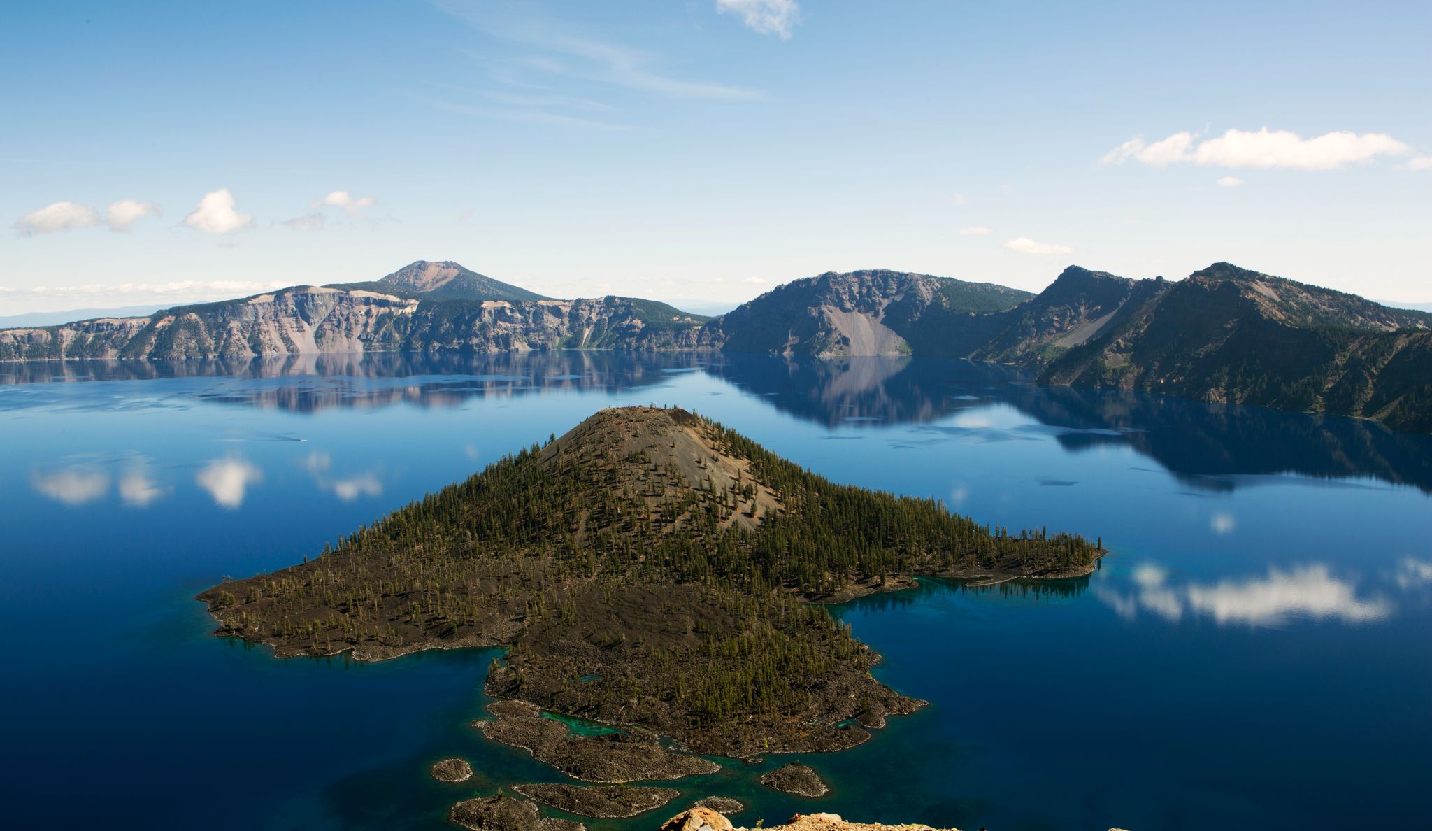
Volcanic peaks and glistening shores – discover Oregon and Washington
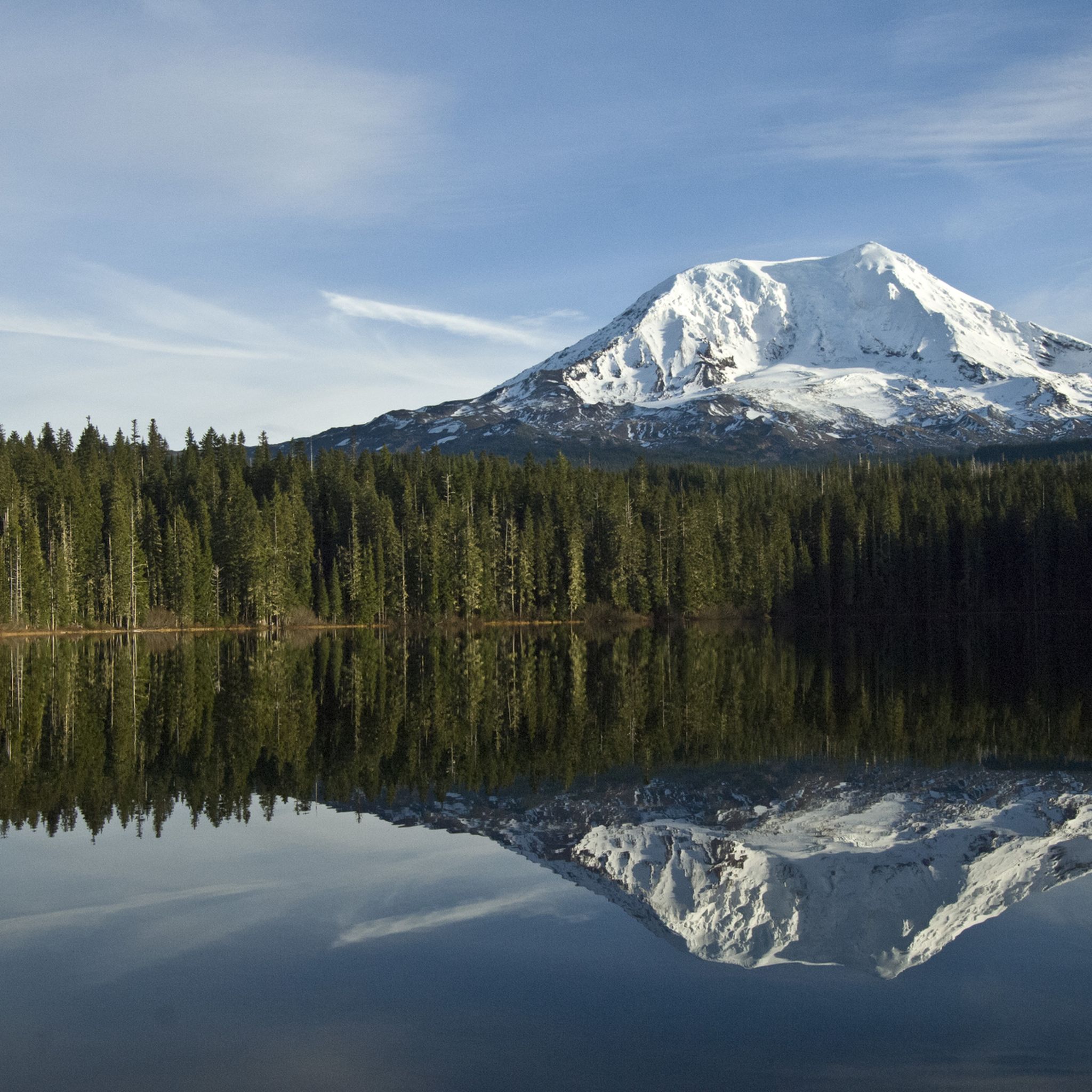
Hiking in Gifford Pinchot National Forest
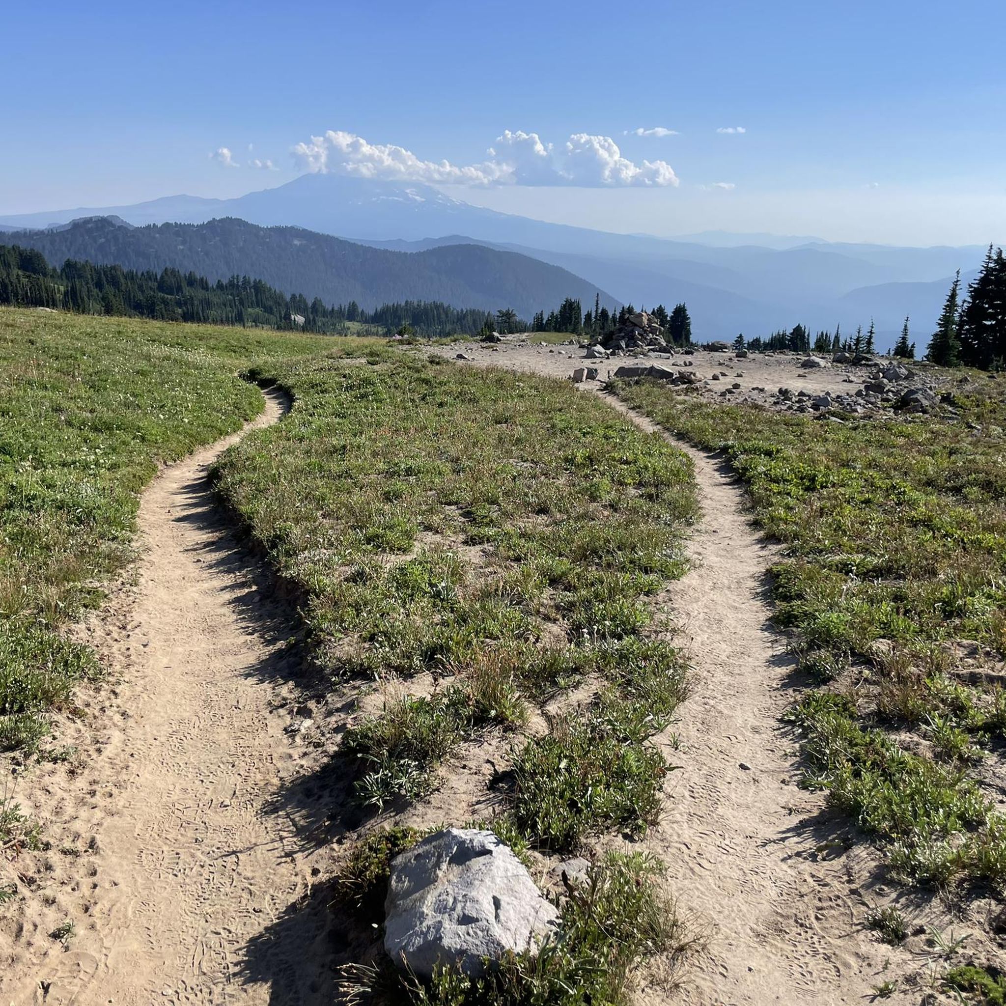
Running Trails in Gifford Pinchot National Forest
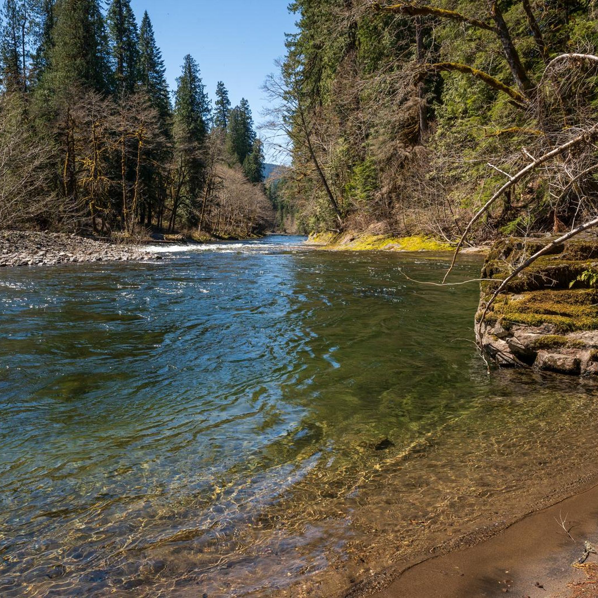
MTB Trails in Gifford Pinchot National Forest
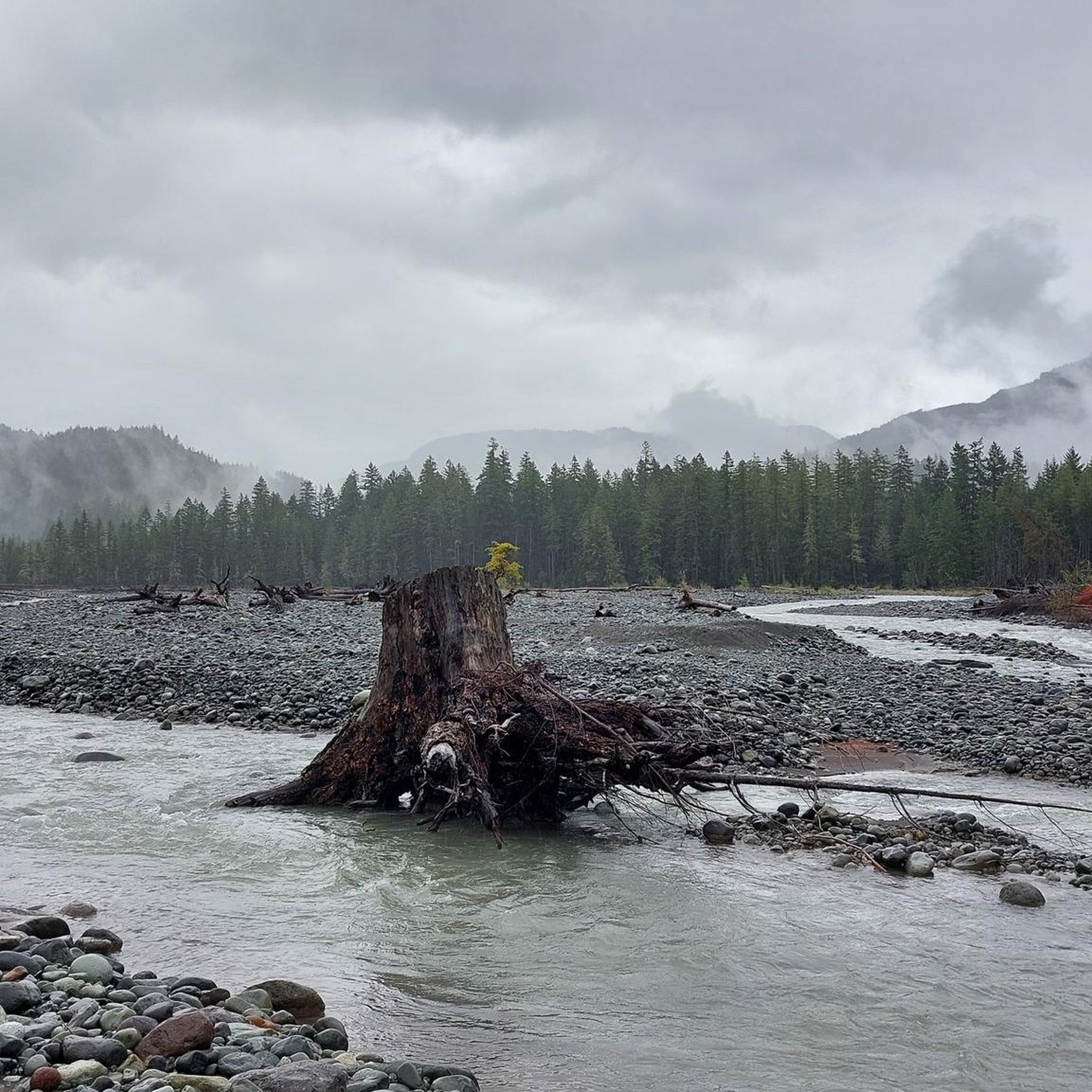
Road Cycling Routes in Gifford Pinchot National Forest
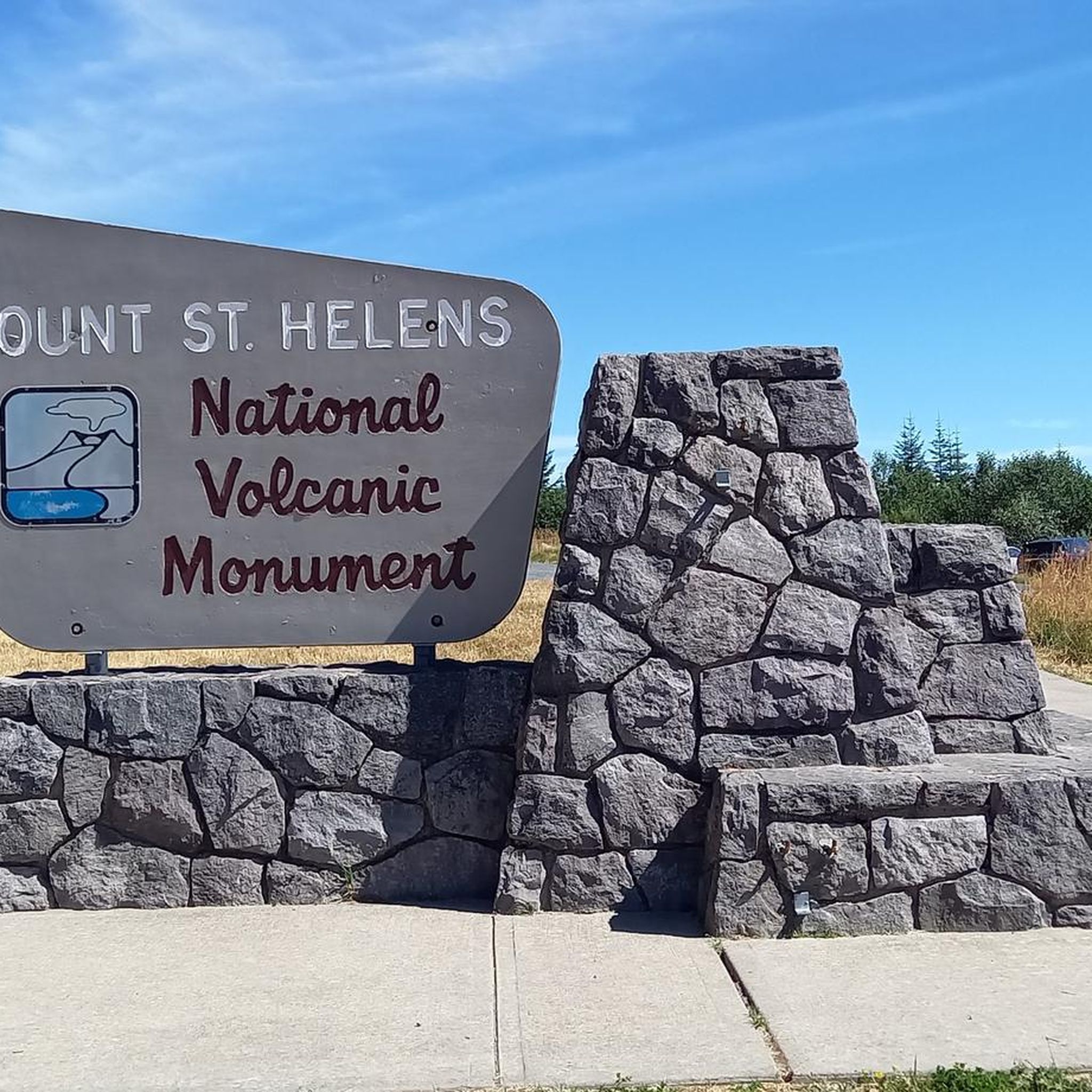
Cycling in Gifford Pinchot National Forest
Other adventures in Gifford Pinchot National Forest


Tips from the Community

Klapatchie Point is the end of Westside Road. The road is narrow, paved, but lightly maintained, winding through forest in Mount Rainier National Park. It has some rough patches and limited pullouts, and is open only to bikers and hikers. Klapatchie Point is a perfect place to end your ride, with views over the forest and mountains.
0
0
Here you’ll find an open area along Westside Road, perfect for a snack break. Plenty of shade is provided by the surrounding forest.
0
0

Mosier is a charming small town along the beautiful Columbia River, surrounded by stunning basalt cliffs. There are lovely restaurants, a cozy coffee shop and a small local market.
0
0

Heading east from the town of Hood River on the Historic Colombia River Highway State Trail, climb up the horseshoe-shaped switchbacks and arrive at a nice, elevated viewpoint of the Colombia River. Enjoy the rewarding view that you earned!
0
0
Mosier is named after Jonah H. Mosier, who settled the area around 1821. Today, it is best known for apple, cherry, and prune production, and the town is only about 400 acres in size.
0
0
Walk or bike through tunnels built for the original Columbia River Highway. These unique tunnels have windows and are a car-free section of the Historic Columbia River Highway State Trail. This area is great for bikers and walkers alike.
0
0

A great paved route and, above all, an absolute historical highlight. We walked and cycled back and forth several times because we found the route breathtakingly beautiful.
0
0

This section of the Historic Columbia River Highway State Trail is loved for its great views of the Columbia River and the restored Mosier Twin Tunnels. The tunnels were filled with rocks when the interstate was open to replace the highway, but luckily it was possible to restore and reopen the tunnels.
0
0
Frequently Asked Questions
What kind of terrain can I expect on gravel bike trails in Gifford Pinchot National Forest?
Gifford Pinchot National Forest offers a diverse range of terrain for gravel biking. You'll encounter dense evergreen forests, scenic river valleys, and striking volcanic landscapes. Many routes feature quiet forest roads and challenging climbs, with some reaching significant elevation gains. The region is known for its 'delectable' gravel, providing a true gravel biking experience.
Are there any challenging gravel bike routes in the forest?
Yes, all 14 gravel bike routes in Gifford Pinchot National Forest are rated as difficult, featuring substantial elevation gains and varied terrain. For example, the Gobblers Knob loop from Panther Creek Falls Trailhead is an extensive 80.8 km path with over 1,500 meters of climbing, navigating varied forest terrain.
What are some notable natural features or landmarks I might see while gravel biking?
The forest is rich with natural wonders. You can explore areas shaped by the Mount St. Helens eruption, including the Birth of a Lake Trail near Coldwater Lake. Other highlights include the majestic Mount St. Helens Summit and the rugged Goat Rocks Wilderness. The Lewis River Recreation Area also features picturesque waterfalls like Lower Lewis River Falls.
Are there any loop trails suitable for gravel biking?
Yes, there are several excellent loop trails. A popular option is the Panther Creek loop from Panther Creek Campground, a 35.5 km route that takes you through river valleys and forested sections. Another significant loop is the Gobblers Knob – Panther Creek loop from Carson, covering 63.5 km with over 1,200 meters of elevation gain.
What do other gravel bikers say about the trails in Gifford Pinchot National Forest?
The gravel biking routes in Gifford Pinchot National Forest are highly rated by the komoot community, with an average score of 5.0 stars. Riders often praise the 'endless miles of beauty' and the quiet forest roads, highlighting the challenging climbs and panoramic views that make for a rewarding experience.
Are there any specific routes that offer panoramic views or car-free sections?
Many routes within the forest offer panoramic views due to significant elevation gains. While specific car-free sections vary, the extensive network of quiet forest roads provides a sense of solitude. The Klepatchee Park via West Side Road route, for instance, takes you through forested areas with potential viewpoints.
What is the best time of year to go gravel biking in Gifford Pinchot National Forest?
The forest's cool temperatures and lush environment generally enhance the riding experience. While specific seasonal advice isn't provided, the diverse landscapes suggest that spring through fall would offer the most favorable conditions, avoiding potential snow at higher elevations in winter.
Are there any lakes or water features accessible from the gravel trails?
Yes, the forest is home to numerous lakes and rivers. The Lewis River Recreation Area is notable for its picturesque waterfalls, and many creeks within the forest can offer opportunities for water refills. You can find beautiful spots like Blue Lake and Deer Lake within the region.
What kind of bike tires are recommended for the terrain?
For the varied terrain in Gifford Pinchot National Forest, riders are often advised to use tires around 40c with good knobby treads. This setup provides the necessary grip and comfort for the 'delectable' gravel roads and potentially challenging sections.
How many gravel bike routes are available in Gifford Pinchot National Forest?
There are 14 gravel bike routes available in Gifford Pinchot National Forest, all of which are categorized as difficult, offering challenging and rewarding experiences for riders.
Are there any viewpoints or high points accessible by gravel bike?
Absolutely. The forest's volcanic terrain and mountainous regions offer several viewpoints. You might find stunning vistas from locations like Red Mountain Lookout or High Rock, providing panoramic views of the surrounding landscapes, including Mount Adams and Mount St. Helens.
Most popular routes in Gifford Pinchot National Forest
Most popular attractions in Gifford Pinchot National Forest

Get inspired with the komoot mobile app


Explore more
Browse the best Gravel rides in other regions.
