The best traffic-free bike rides in Monongahela National Forest
4.5
(4)
60
riders
10
rides
Gravel biking in Monongahela National Forest offers an extensive network of no traffic gravel bike trails across over 900,000 acres of diverse landscapes. The region is characterized by dense forests, river valleys, and mountainous terrain, including the Allegheny Front and parts of the Ridge-and-valley Appalachians. Riders can navigate a variety of surfaces, from smooth gravel roads to rugged forest tracks, with routes often featuring significant elevation changes and rewarding descents. This vast wilderness provides a true outdoor experience for gravel…
Last updated: May 27, 2026
5.0
(1)
12
riders
81.1km
04:21
570m
570m
Hard gravel ride. Very good fitness required. Mostly paved surfaces. Suitable for all skill levels.
10
riders
82.9km
05:20
1,210m
1,210m
Hard gravel ride. Very good fitness required. Mostly paved surfaces. Suitable for all skill levels.

Sign up for free
8
riders
81.5km
04:17
500m
500m
Hard gravel ride. Very good fitness required. Mostly paved surfaces. Suitable for all skill levels.
4.0
(1)
3
riders
42.1km
03:18
650m
650m
Hard gravel ride. Very good fitness required. Mostly paved surfaces. Suitable for all skill levels.
4.0
(1)
4
riders
51.3km
03:47
690m
690m
Hard gravel ride. Very good fitness required. Mostly paved surfaces. Suitable for all skill levels.
Get access to more routes and recommendations from other explorers.
Sign up for free
Already have an account?
Our route recommendations are based on thousands of hikes, rides, and runs completed by other people on komoot.
Start today with a free account
Your next adventure awaits.
Login or Signup
Popular around Monongahela National Forest
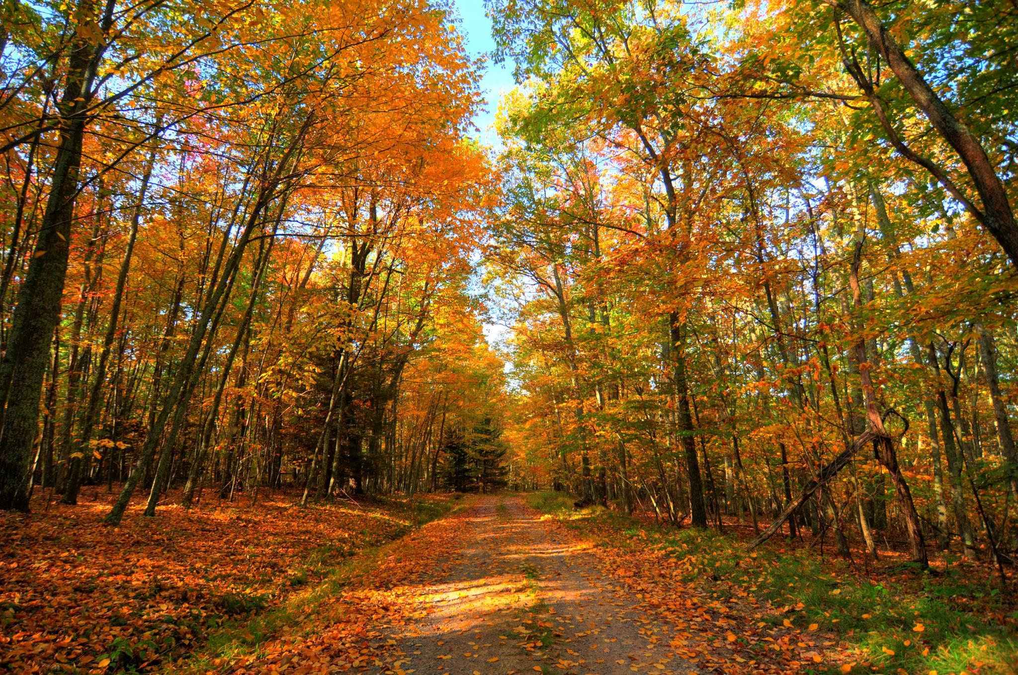
Greenbrier River & Allegheny Highlands loop — Cycling through the heart of West Virginia’s wild beauty
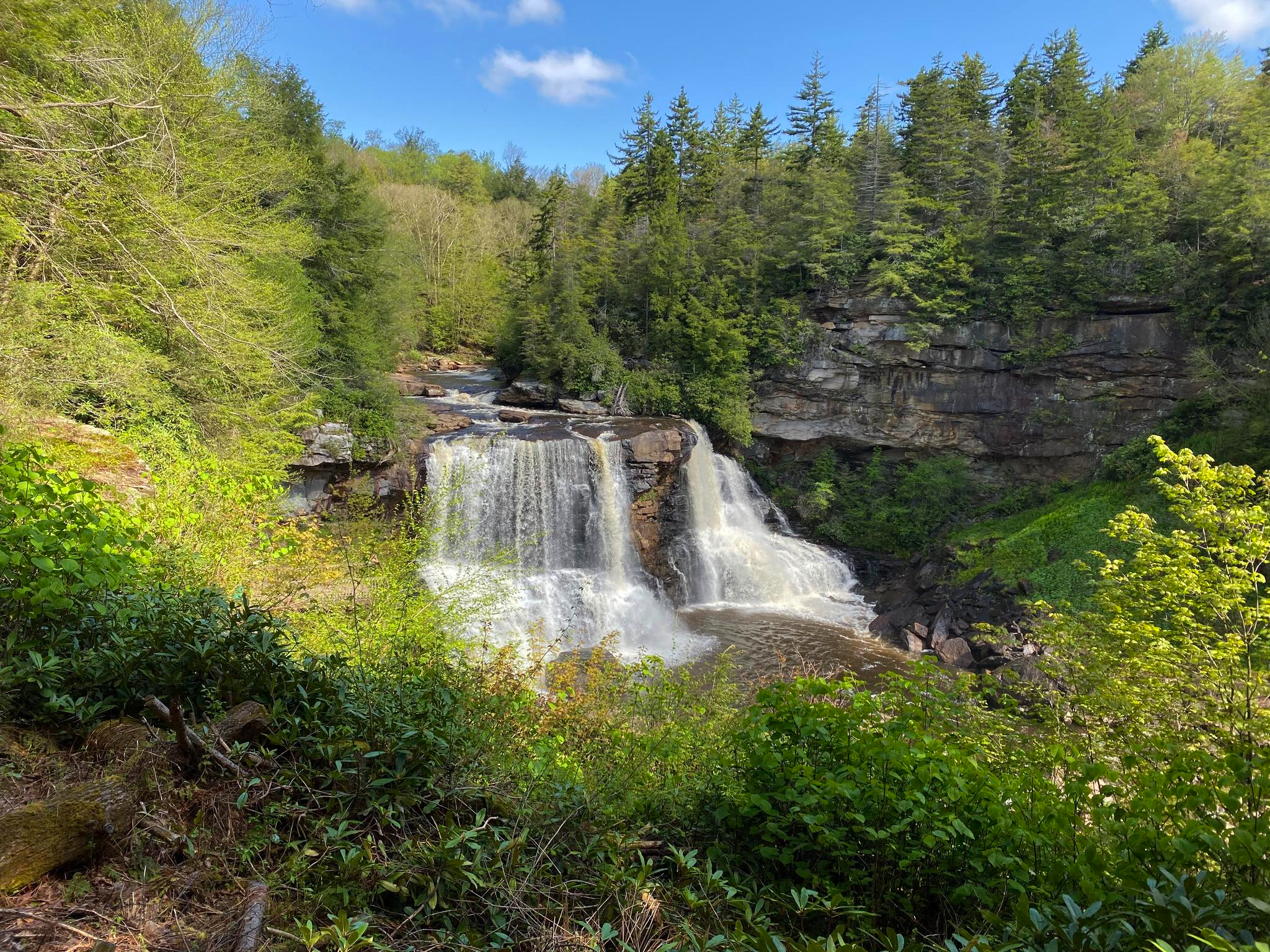
Allegheny Trail — A remote Appalachian adventure
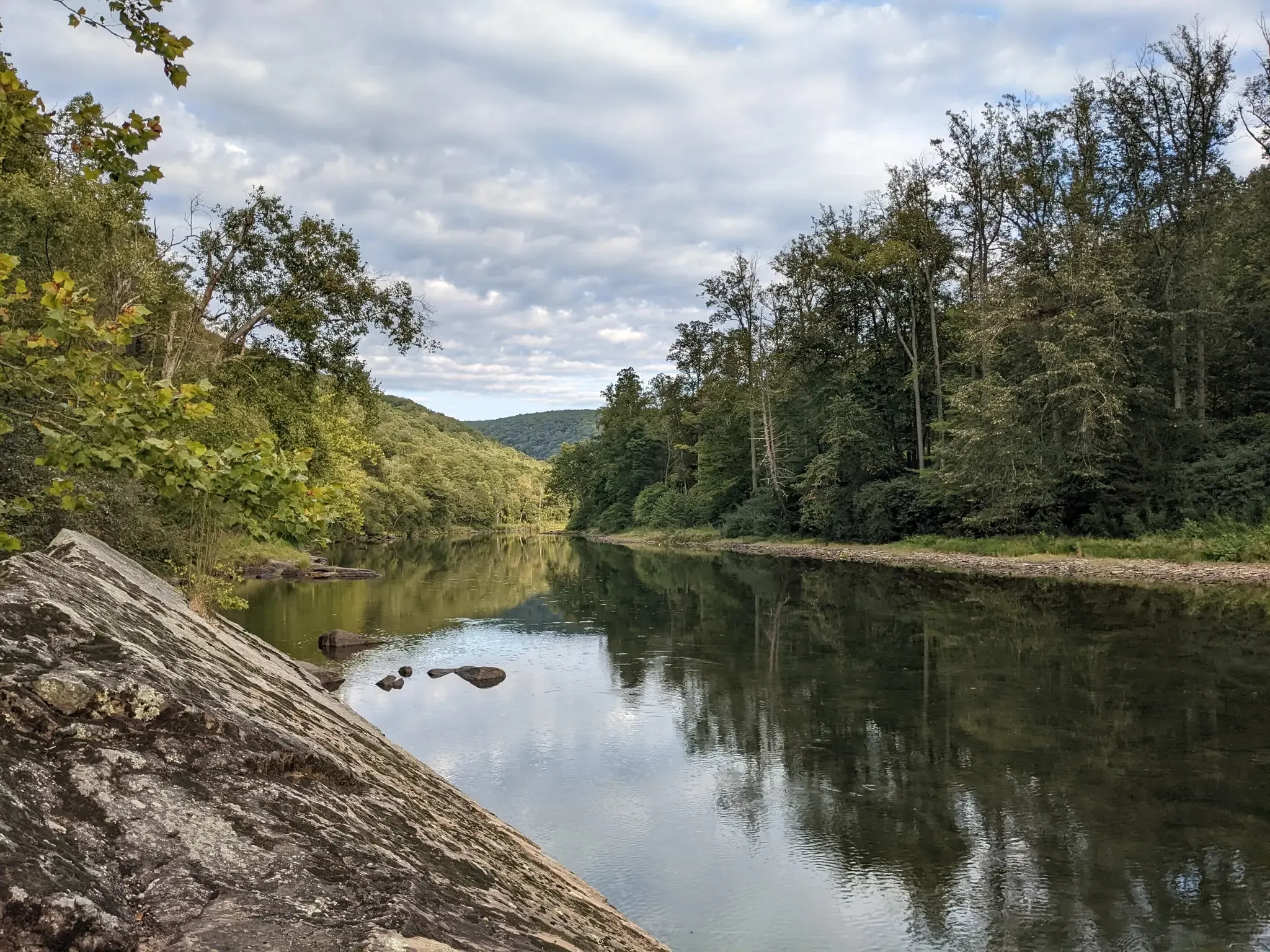
Greenbrier River Trail — Biking West Virginia's Longest Rail Trail
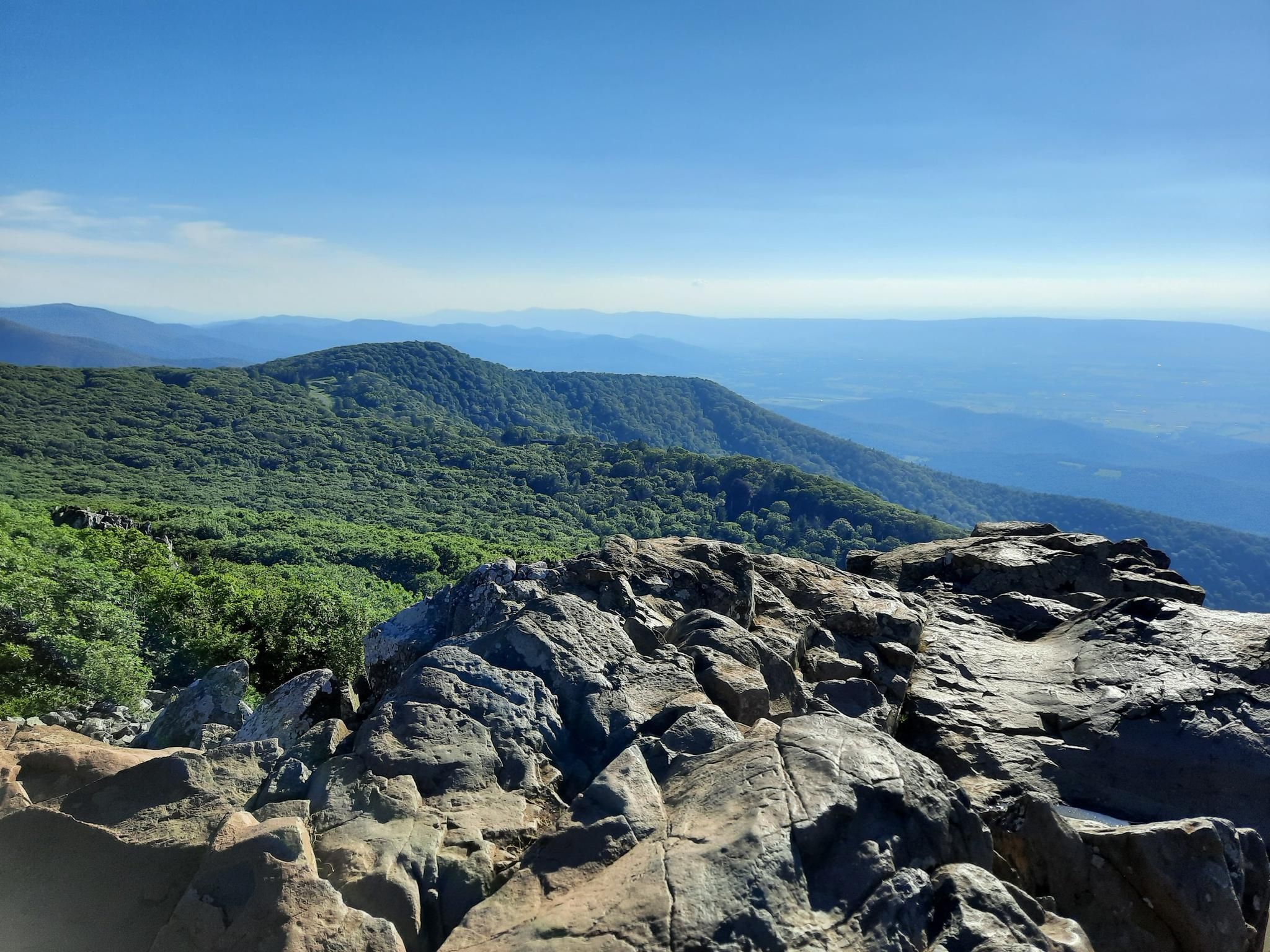
Stunning views, waterfalls and adventures in northeast USA

Traffic-free bike rides in Monongahela National Forest

Traffic-free bike rides in Monongahela National Forest
Other adventures in Monongahela National Forest


Tips from the Community

Nestled beside the Greenbrier River Trail, Mill Run Campground offers quiet, trailside tent camping surrounded by forest and river views. Each site includes a picnic table and fire ring, creating a simple but comfortable base for hikers and cyclists. The steady flow of the nearby river and the sound of passing wildlife make this a peaceful overnight spot along one of West Virginia’s most scenic corridors.
0
0


This small town offers a couple of seasonally-open spots to grab food, some bike shuttling options, and a general store with the essentials. You can find privately-owned campgrounds, like River Trail Hollow Campground, in addition to some local lodges and cabins that are available for nightly rental. Seebert River Road intersects with the Greenbrier River Trail and offers the option to take a detour into Watoga State Park, which is West Virginia's largest state park at over 10,000 acres and houses miles of biking routes.
0
0
This 402-foot tunnel was completed in 1900 to allow railway passage directly through Droop Mountain. Even in daylight hours, it's dark in the middle of a 402-foot tunnel! A flashlight is recommended if you're riding through.
0
0
Spice Run Wilderness is a 6,030-acre of completely undeveloped, federally protected forest. The Greenbrier River Trail traces the western outline of the wilderness from across the Greenbrier River.
0
0

This campsite is one of several situated along the Greenbriar River, with a tent pad, a fire pit, and a picnic table. No permit is required, making it a fantastic place to spend the night while enjoying the soothing sounds of the river. It is also an excellent spot for fishing and serves as a reliable water source.
0
0
Marlinton is a charming little town that embodies the history and picturesque scenery of the Allegheny Mountain region. The town has made an concerted effort to preserve its historic buildings and monuments, so you can take a trip through time as you explore. You'll find good food, ample lodging options, and some bike shops. Marlinton is the most easily-accessed town along the Greenbrier River Trail and has the largest variety of accommodations. Options like this are scarce to both the north and south from this point, so this could be an important restocking stop.
0
0
This campsite is one of several situated along the Greenbrier River, with a a tent pad, a fire pit, and a picnic table. No permit is required, making it a fantastic place to spend the night while enjoying the soothing sounds of the river. It is also an excellent spot for fishing and serves as a reliable water source.
0
0
Frequently Asked Questions
How many no traffic gravel bike trails are available in Monongahela National Forest?
This guide features 8 dedicated no-traffic gravel bike trails, ranging from moderate to difficult. The Monongahela National Forest, however, boasts an extensive network of over 60 day rides and bikepacking routes, utilizing countless gravel and dirt roads, many of which are former logging roads or created by the forest service.
What is the best time of year for gravel biking in Monongahela National Forest?
The Monongahela National Forest offers diverse conditions throughout the year. While specific recommendations depend on your tolerance for weather, spring and fall generally provide pleasant temperatures and vibrant scenery. Summers can be warm, and winters can bring snow, making some routes more challenging or inaccessible. Always check local weather conditions before heading out.
What is the typical terrain and difficulty for gravel biking in this region?
Gravel biking in Monongahela National Forest covers a wide range of surfaces, from smooth gravel roads to rugged forest tracks and occasional rocky singletrack sections. You can expect significant elevation gains with long climbs and rewarding descents. For example, the Spruce Knob Observation Tower loop from Back Ridge Shadows campground features over 1200 meters of elevation gain, making it a challenging ride.
Are there any loop gravel bike routes in Monongahela National Forest?
Yes, several routes in the Monongahela National Forest are designed as loops, allowing you to start and end at the same point. Examples include the Marlinton Depot – Sharps Tunnel and Bridge loop from Marlinton and the Marlinton Depot – Webster Run Bridge loop from Marlinton, both offering extensive gravel experiences.
What do other gravel bikers enjoy most about the trails here?
The Monongahela National Forest is highly rated by the komoot community, with an average score of 4.3 stars. Reviewers often praise the true wilderness experience, the extensive network of quiet gravel roads, and the breathtaking scenery, including panoramic views from high points like Spruce Knob.
Are there family-friendly or beginner-friendly gravel bike trails?
While many routes in this guide are rated 'difficult' due to distance and elevation, the Monongahela National Forest does offer options for varying skill levels. The Greenbrier River Trail, for instance, is West Virginia's longest rail trail and provides a scenic, less strenuous option suitable for families or beginners looking for smoother, flatter terrain. Always check route details for specific difficulty ratings.
What landmarks or viewpoints can I see along the gravel bike trails?
The Monongahela National Forest is rich with natural attractions. You can find stunning viewpoints like the Spruce Knob Observation Tower, offering panoramic views as the highest point in West Virginia. Other notable spots include Lion's Head Rock and Seneca Rocks Overlook. Many routes traverse areas with historical significance from former logging operations.
Are there any waterfalls to see while gravel biking in the Monongahela National Forest?
Yes, the Monongahela National Forest is home to beautiful waterfalls. Blackwater Falls, a stunning 57-foot cascade, is a major attraction with several overlooks. You can also find Elakala Falls within the forest, offering picturesque views.
Where can I find parking and access points for these gravel routes?
Many gravel routes in the Monongahela National Forest, especially those part of the curated cycling system, often have designated access points and parking. For example, routes like the Marlinton Depot – Sharps Tunnel and Bridge loop typically start from towns like Marlinton, which offer amenities and parking. For more remote routes, dispersed parking areas are common. Always check the specific route details for recommended starting points.
What makes Monongahela National Forest unique for gravel biking?
Monongahela National Forest stands out for its vast, curated gravel cycling system, one of the largest in the eastern U.S. It offers a true wilderness experience with diverse terrain, from high-altitude bogs in Dolly Sods to the highest point in West Virginia at Spruce Knob. The forest's extensive network of former logging roads provides a unique blend of challenging rides and historical context, all within a remote, natural setting.
Are there options for advanced gravel cycling in the Monongahela National Forest?
Absolutely. The Monongahela National Forest is a prime destination for advanced gravel cyclists. Many routes feature significant elevation gains, rugged forest tracks, and long distances. For instance, the Black Fork loop from Thomas and the TipTop Cafe – Parsons loop from Hendricks are both rated 'difficult' and offer challenging rides for experienced riders. For bikepackers, there's even a 191-mile Remote Route Loop with nearly 16,000 feet of climbing.
Most popular routes in Monongahela National Forest
Most popular attractions in Monongahela National Forest

Get inspired with the komoot mobile app


Explore more
Browse the best Gravel rides in other regions.
