The best traffic-free bike rides in George Washington And Jefferson National Forest
4.9
(9)
773
riders
16
rides
No traffic road cycling routes in George Washington And Jefferson National Forest traverse a vast landscape spanning 1.8 million acres across Virginia, West Virginia, and Kentucky. The region is characterized by the Appalachian Mountains and Blue Ridge, featuring elevations ranging from 515 feet to over 5,700 feet. Cyclists encounter remote, winding roads through dense woodlands, alongside over 2,300 miles of streams, and past numerous waterfalls. The forest offers diverse terrain for road cycling, from scenic mountain passes to open forest roads.
Best no traffic road cycling routes in George Washington And Jefferson National Forest
- The most popular no traffic road cycling route is Jefferson National Forest loop, a 32.4 miles (52.2 km) trail that takes 3 hours 1 minute to complete. This difficult route features significant elevation gain through the forest.
- Another top favourite among local road cyclists is Connallys Lake loop from McCartney Family Cemetery, a moderate 50.8 miles (81.8 km) path. This route offers a long ride with varied terrain and an elevation gain of over 2,600 feet.
- Local road cyclists also love the Roadbike loop from McCartney Family Cemetery, a 43.8 miles (70.5 km) trail leading through mountainous forest, often completed in about 3 hours 34 minutes.
- Road cycling in George Washington And Jefferson National Forest is defined by remote forest roads, scenic mountain passes, and continuous mountain vistas. The network offers options for different ability levels, from moderate rides to challenging routes with significant climbs.
- The routes in George Washington And Jefferson National Forest are highly rated by the komoot community with an average score of 5.0 stars from 7 reviews. More than 600 road cyclists have used komoot to explore George Washington And Jefferson National Forest's varied terrain.
Last updated: July 7, 2026
52.2km
03:01
1,030m
1,030m
Get ready for a challenging road cycling adventure on the Jefferson National Forest loop. This difficult route spans 32.4 miles (52.2 km) and demands a significant effort, climbing 3371 feet (1027 metres) over an estimated 3 hours and 1 minutes. You will cycle through unspoiled mountain scenery, enjoying panoramic views as the trail winds through dense woods and open grassy areas. Keep an eye out for clear mountain-fed creeks alongside the path, adding to the serene atmosphere of this ride. You might even spot local wild ponies, especially near Grayson Highlands State Park.
Before you set out on this difficult road cycling route, make sure you are well-prepared with all necessary supplies. The trail is known for its challenging climbs and mostly well-paved surfaces, though some sections might be unpaved. Given its remote feel, it is wise to check local conditions before heading out. Parking is generally available at various access points within the forest, making it convenient to start your journey.
This loop offers a unique opportunity to explore the natural beauty of the Jefferson National Forest. The region is characterized by its rugged mountain terrain and diverse ecosystems. It stands out in the area for its combination of demanding cycling and chances to encounter wildlife like the wild ponies. This route provides a memorable experience for those seeking a true test of endurance amidst stunning natural surroundings.
37
riders
114km
06:18
2,320m
2,320m
Hard road ride. Very good fitness required. Some segments of this route may be unpaved and difficult to ride.

Sign up for free
35
riders
81.8km
03:35
820m
820m
The Connallys Lake loop from McCartney Family Cemetery offers a rewarding road cycling experience, winding through varied terrain often found around natural lakes. Expect a mix of open stretches and possibly wooded sections, with the route's character defined by its moderate elevation changes. It's a solid choice for cyclists who appreciate a good workout and the natural beauty of Virginia's landscapes.
This 50.9-mile (81.8 km) road cycling route, rated as moderate, involves 2691 feet (820 metres) of elevation gain and typically takes about 3 hours and 34 minutes. The McCartney Family Cemetery serves as a practical starting point, likely offering parking. For the most enjoyable ride, consider visiting during the spring or fall when temperatures are mild and the scenery is at its best.
While specific details about this particular route are scarce, road cycling routes near lakes often feature a blend of natural areas, including forests and fields, alongside views of the water. The varied terrain and consistent climbing make it an engaging option for those looking to explore the Connallys Lake area by bike, providing a good test of endurance.
8
riders
70.5km
03:35
1,140m
1,140m
Hard road ride. Very good fitness required. Mostly well-paved surfaces and easy to ride.
9
riders
48.8km
03:28
830m
830m
Moderate road ride. Good fitness required. Some segments of this route may be unpaved and difficult to ride.
Get access to more routes and recommendations from other explorers.
Sign up for free
Already have an account?
Our route recommendations are based on thousands of hikes, rides, and runs completed by other people on komoot.
Start today with a free account
Your next adventure awaits.
Login or Signup
Popular around George Washington And Jefferson National Forest
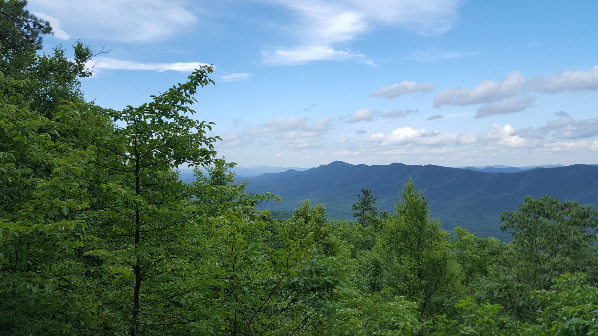
Tuscarora Trail — A remote trek across the backbone of Appalachia

The Appalachian Trail — America's most iconic long-distance hike
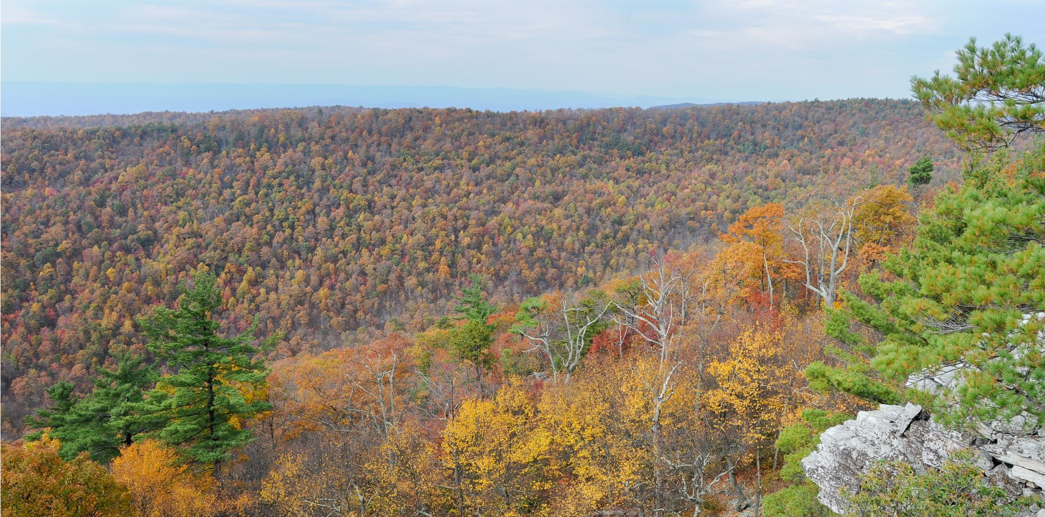
Massanutten Trail loop — Forested ridges & scenic valleys

Traffic-free bike rides in George Washington And Jefferson National Forest

Traffic-free bike rides in George Washington And Jefferson National Forest
Other adventures in George Washington And Jefferson National Forest


Tips from the Community

Sugar Grove is a small town tucked in the Appalachian Mountains. There is a market here to grab a snack at, but not too much else. This town is the gateway to the Mt. Rogers National Recreation Area and sometimes a stopover for adventures and Appalachian Trail hikers.
0
0
At the George Washington and Jefferson National Forests, you can enjoy a relaxing day with picnic tables and public restrooms, and feel free to bring your furry friends along as dogs are allowed in Jefferson National Forest. This area combines two U.S. National Forests, creating one of the largest public land spaces in the Eastern United States. Encompassing 1.8 million acres in the Appalachian Mountains of Virginia, West Virginia, and Kentucky.
0
0

Ravens Roost Overlook is at Milepost 10.7 on the Blue Ridge Parkway and is one of the most popular overlooks in this part of Virginia. From an elevation of 3,200 feet, you can look down into the old farming valley and along mountain ridges running perpendicular to the parkway.
0
0
Located at Milepost 1.5 and at an elevation of 2,148 feet on the Blue Ridge Parkway, Rockfish Valley Overlook is a more popular stop than the nearby Afton Overlook. The Rockfish Valley Overlook is a little more than 200 feet higher in elevation and offers a wide open view of Rockfish Valley with a mountainous backdrop.
0
0
Located just 0.2 miles into the parkway, Afton Overlook is the first official overlook on the Blue Ridge Parkway. Like many of the overlooks of the parkway, this view is of the nearby town. As you climb and descend through the mountains, you get many more views of the network of valleys, rivers, and towns that help make up this unique region of the country. The Blue Ridge Parkway is a 469 mile paved highway through the states of Virginia and North Carolina. The road is extremely popular for cyclists, cars, and motorcycles, so you should always exercise caution biking on the roadways. Being maintained by the National Park Service, the Blue Ridge Parkway is known for its overlooks and access to natural and wilderness areas. Only paved roads (no paths or trails) are open to bikes within the boundaries of the parkway, and you can expect to see other visitors at most overlooks, trailheads, and campgrounds. Biking any section of the Blue Ridge Parkway offers an immersion into Southern Appalachia. Taking on the entire road in a multi-day push is an extreme undertaking for serious cyclists; that being said, any section of the parkway can be doable for cyclists with some road biking experience and the right gear.
1
0

It's worth parking your bike at the visitor center to hike the short walk to the top of Humpback Rocks. The views over the parkway are spectacular. The visitor center has exhibitions on historic mountain farming life that are also worth checking out.
0
0
Leave your bike at the start of the trail and hike 1.2 miles (1.9 km) to the magnificent White Rock Falls. The views are just as impressive as the falls.
0
0
The Shenandoah Valley is steeped in history and culture. It's a great place to explore the magnificent outdoors on a network of scenic trails. You can hike, bike, kayak, canoe and ski in the region.
0
0
Frequently Asked Questions
How many no-traffic road cycling routes are available in George Washington And Jefferson National Forest?
There are 16 dedicated no-traffic road cycling routes in the George Washington And Jefferson National Forest, catering to various skill levels. You'll find 1 easy route, 10 moderate routes, and 5 difficult routes to explore.
What kind of terrain can I expect on these no-traffic road cycling routes?
The George Washington and Jefferson National Forests offer diverse terrain, from remote, winding roads to scenic mountain passes. You can expect significant elevation gains, especially on routes that traverse the Blue Ridge Parkway or other mountainous areas. The region's elevation ranges from 515 feet near the Shenandoah River to Virginia's highest point, Mount Rogers, at 5,729 feet, providing varied challenges and stunning views.
Are there any circular no-traffic road cycling routes?
Yes, many of the no-traffic road cycling routes in the George Washington and Jefferson National Forests are designed as loops. For example, you could try the challenging Jefferson National Forest loop, or the moderate Connallys Lake loop from McCartney Family Cemetery, which offers over 80 km of riding.
What are some natural features or viewpoints I can see along the no-traffic road cycling routes?
The forests are rich in natural beauty. You might encounter numerous waterfalls, such as Cascade Falls or Shamokin Falls. Many routes offer continuous mountain vistas, especially along sections of the Blue Ridge Parkway. Peaks like Elliott Knob and Whitetop Mountain provide breathtaking views, and the Humpback Rocks Trail offers panoramic views of the Rockfish and Shenandoah Valleys.
Are there any lakes or water features accessible from the no-traffic road cycling routes?
Yes, the region features over 2,300 miles of streams and several serene lakes. You can find beautiful spots like Otter Lake, Hidden Valley Lake, Pandapas Pond, and Lake Moomaw Greenwood Point, which are great for a break or to enjoy the scenery.
What is the best time of year to enjoy no-traffic road cycling in this area?
The George Washington and Jefferson National Forests are beautiful year-round, but spring and autumn are particularly popular for road cycling. Spring brings lush greenery and blooming wildflowers, while autumn offers spectacular fall foliage. Summer can be warm, but higher elevations provide cooler temperatures. Always check local weather conditions before heading out.
Are there any amenities or places to stop for refreshments along the no-traffic road cycling routes?
While many routes are remote, some areas offer facilities. For instance, Peaks of Otter Lodge is a notable facility that can be found within the forest. It's always a good idea to carry sufficient water and snacks, especially on longer rides, as amenities can be sparse on forest roads.
What are the difficulty levels of the no-traffic road cycling routes?
The routes range from easy to difficult. There is 1 easy route, 10 moderate routes, and 5 difficult routes. Moderate options include the Roadbike loop from Little Cove Mountain, while more challenging rides like the Roadbike loop from McCartney Family Cemetery feature significant elevation gains.
What do other cyclists say about road cycling in George Washington And Jefferson National Forest?
The komoot community highly rates the road cycling experience in the George Washington And Jefferson National Forest, with an average score of 5.0 stars based on 7 ratings. Cyclists often praise the quiet, scenic roads, the challenging climbs, and the immersive natural beauty of the diverse landscapes.
Are there any historical sites or landmarks to see while road cycling?
Yes, the forest contains historical sites that provide insight into 19th-century iron production, such as the ruins of the iron ore furnace at Roaring Run Recreation Area and Elizabeth Furnace. While not directly on every cycling route, these offer interesting points of exploration within the broader forest area.
What should I bring for a no-traffic road cycling trip in this region?
Given the remote nature of many routes, it's essential to be self-sufficient. Always carry enough water, snacks, a repair kit, and a first-aid kit. A fully charged phone and a reliable navigation device (like komoot) are also highly recommended. Dress in layers, as mountain weather can change quickly.
Most popular routes in George Washington And Jefferson National Forest
Most popular attractions in George Washington And Jefferson National Forest

Get inspired with the komoot mobile app


Explore more
Browse the best Road cycling routes in other regions.
