The best traffic-free bike rides in George Washington And Jefferson National Forest
4.5
(11)
326
riders
19
rides
No traffic touring cycling routes in George Washington and Jefferson National Forest traverse nearly 1.8 million acres of diverse landscapes across Virginia and parts of West Virginia and Kentucky. The region is characterized by rugged mountainous terrain, including the Blue Ridge Mountains and the spine of the Appalachians, with elevations ranging from 515 feet to over 5,700 feet. This vast forest features extensive waterways, including over 2,300 miles of streams and rivers, and is home to diverse forests with over…
Last updated: August 31, 2026
5.0
(7)
78
riders
53.3km
04:45
850m
850m
The Virginia Creeper Trail Loop offers a truly immersive touring cycling experience through the heart of Appalachia, winding past dense forests, expansive farmlands, and picturesque Christmas tree farms. You'll frequently…
1
riders
14.0km
01:20
330m
330m
If you're looking for a taste of Virginia's backcountry on two wheels, the TransVirginia Bike Route delivers a challenging yet rewarding experience. This moderate 8.7-mile (14.0 km) segment, with its…

Sign up for free
22.9km
02:05
500m
500m
For a truly immersive and challenging touring cycling experience, the route from Troutdale to the Junction of Five Trails at Scales offers a rigorous adventure deep within the Mount Rogers…
13.9km
01:05
230m
230m
The Whitetop to Virginia Creeper Trail and TransVirginia Bike Route loop, when fully open, promises a varied touring bicycle experience, blending the gentle grades of a rail-trail with the ruggedness…
20
riders
31.8km
03:11
590m
590m
Hard bike ride. Very good fitness required. Mostly paved surfaces. Suitable for all skill levels.
Get access to more routes and recommendations from other explorers.
Sign up for free
Already have an account?
Our route recommendations are based on thousands of hikes, rides, and runs completed by other people on komoot.
Start today with a free account
Your next adventure awaits.
Login or Signup
Popular around George Washington And Jefferson National Forest
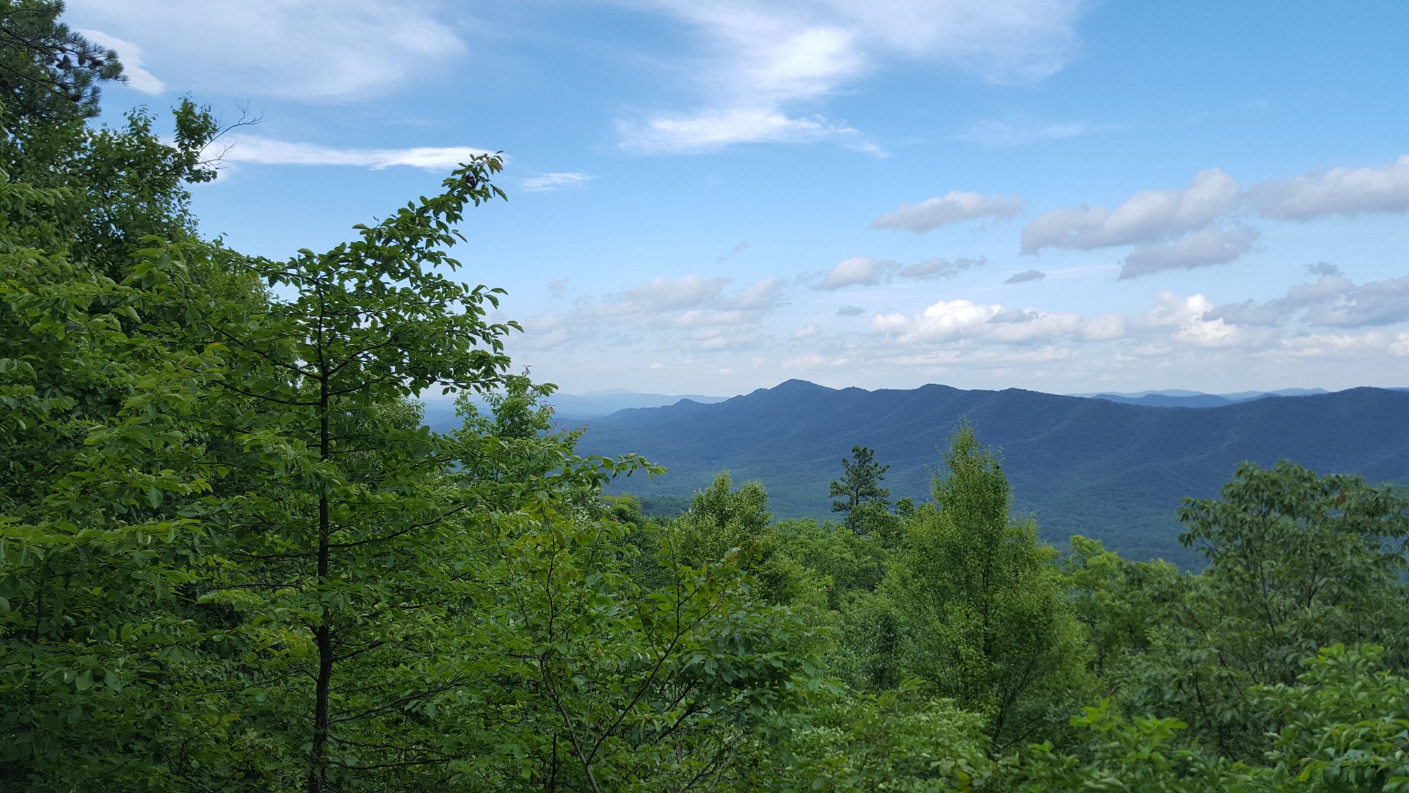
Tuscarora Trail — A remote trek across the backbone of Appalachia

The Appalachian Trail — America's most iconic long-distance hike
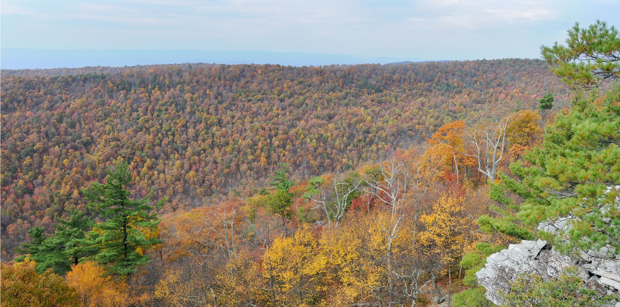
Massanutten Trail loop — Forested ridges & scenic valleys

Traffic-free bike rides in George Washington And Jefferson National Forest

Traffic-free bike rides in George Washington And Jefferson National Forest
Other adventures in George Washington And Jefferson National Forest


Tips from the Community

Whitetop Mountain is the second-highest peak and the highest public peak in Virginia. The peak offers breathtaking views of three different states. This mountain has a summit at an elevation of 5,525 feet.
0
0
Whitetop has a great parking area where riders can park for the Virginia Creeper Trail or for a road ride around this lovely green area. Whitetop is the gateway town to Mount Rogers has a slightly cooler year-round compared to the surrounding areas due to the higher elevations.
0
0
The Virginia Creeper Trail has one of its terminuses just south of White top, the other is in Abingdon. The trail spans about 34.3 miles, reaching from Abingdon, Virginia, to the North Carolina state line near Whitetop Station, which is here!
0
0
Whitetop Post Office is a little ways outside of the town of Whitetop. There is not much else out here, pretty much just green space. This post office seems out of place, but if you have been meaning to send a letter, now could be the time!
0
0
This small but peaceful waterfall is on Whitetop Laurel Creek and can be seen from the Virginia Creeper Trail. It's a great spot to take a break and listen to the water flow off the rocks. On the other side of the creek runs the Appalachian Trail.
0
0
Stretching for 35 miles, the Virginia Creeper Trail is a rail trail situated, giving visitors a scenic ride around the green southeast Virginia. It extends from Abingdon to Whitetop, near the Mount Rogers National Recreation Area.
0
0
The Whitetop Folk Festival historical marker is on the corner of Mud Creek Lane and Whitetop Road and gives information on the Whitetop Folk Festival. Stop by for a break and read up about this area's cultural history.
0
0
Mud Creek Lane is a gravel road that takes bikers and drivers up to the top of Whitetop summit. It can be accessed from Whitetop Road and is about 3 miles long one way. The Appalachian Trail crosses over Med Creek Lane near the summit.
0
0
Frequently Asked Questions
How many no-traffic touring cycling routes are available in the George Washington And Jefferson National Forest?
The George Washington And Jefferson National Forest offers a good selection of no-traffic touring cycling routes, with over 20 options available. These routes cater to various skill levels, including 8 moderate and 15 difficult trails, ensuring a suitable challenge for most touring cyclists.
What kind of terrain can I expect on these no-traffic touring cycling routes?
You can expect a diverse and often challenging terrain. The forest blankets the Blue Ridge Mountains and stretches along the spine of the Appalachians, meaning many routes feature significant elevation changes, remote winding roads, and mountain passes. For example, the Virginia Creeper Trail Loop involves over 850 meters of elevation gain, providing continuous mountain views.
Are there any family-friendly no-traffic touring cycling routes?
While many routes in the George Washington And Jefferson National Forest are rated moderate to difficult due to elevation and distance, some sections or specific trails can be more family-friendly. For a relaxed experience, consider exploring paved campground roads within the forest, such as those at Sherando Lake or Beartree Campground. The Virginia Creeper Trail Loop, a popular rail trail, also offers a generally peaceful ride, though its full length is significant.
Can I bring my dog on these touring cycling routes?
Generally, dogs are welcome on trails and forest roads within the George Washington And Jefferson National Forest, provided they are kept on a leash. It's always best to check specific trail regulations before you go, as some wilderness areas or sensitive habitats might have restrictions. Ensure your dog is accustomed to cycling alongside you and that you carry enough water for both of you.
What are some scenic viewpoints or natural features I can see along the way?
The forest is rich with natural beauty. You can find stunning vistas from various points, including the Blue Ridge Parkway. Notable peaks and viewpoints include Sharp Top Mountain, Mount Rogers Summit, and Buzzard Rock. The diverse forests, with over 40 species of trees, also offer beautiful scenery throughout the seasons.
Are there any routes that form a loop for a convenient return?
Yes, several routes are designed as loops, allowing for a convenient return to your starting point without needing a shuttle. An example is the Virginia Creeper Trail Loop, which offers a circular experience. Another option is the Whitetop to Virginia Creeper Trail and TransVirginia Bike Route loop, providing a moderate challenge.
What is the best time of year to go touring cycling in the George Washington And Jefferson National Forest?
The best time to visit for touring cycling is generally spring, summer, and fall. Spring brings blooming wildflowers and mild temperatures, while fall offers spectacular foliage. Summer can be warm, especially at lower elevations, but higher elevations provide cooler air. Always check local weather forecasts, as conditions can change rapidly in mountainous terrain.
Where can I park my car to access these no-traffic touring cycling routes?
Access points for many routes often have designated parking areas. For popular trails like the Virginia Creeper Trail, you'll find parking in towns like Abingdon or Whitetop. For other forest roads and trails, look for trailheads or recreation areas within the George Washington And Jefferson National Forest, such as Sherando Lake or Beartree Campground, which offer amenities and parking.
What do other touring cyclists say about their experience on these routes?
The George Washington And Jefferson National Forest is highly rated by the komoot community, with an average score of 4.5 stars. Reviewers often praise the quiet, immersive experience of cycling through the extensive woodlands, the challenging yet rewarding climbs, and the stunning natural beauty, especially the panoramic views from higher elevations.
Are there any waterfalls accessible from the no-traffic touring cycling routes?
Yes, the forest is home to several beautiful waterfalls that can be accessed, often via short hikes from nearby trails or roads. Notable waterfalls include the impressive Crabtree Falls, considered the highest waterfall in Virginia, and the popular Cascade Falls. Apple Orchard Falls and Shamokin Falls are also worth exploring.
What are some of the more challenging no-traffic touring cycling routes for experienced riders?
For experienced riders seeking a challenge, the George Washington And Jefferson National Forest offers several difficult routes. The Virginia Creeper Trail Loop, despite its rail trail origins, covers a significant distance with considerable elevation. Another demanding option is the Narrow Back Mountain loop from Grindstone Mountain, which features over 575 meters of ascent over 34 kilometers.
Are there any less crowded or 'hidden gem' no-traffic routes?
While popular routes like the Virginia Creeper Trail can see more visitors, the vastness of the George Washington And Jefferson National Forest means many forest roads and less-known trails offer a more secluded experience. Exploring routes like Troutdale to Junction of Five Trails at Scales can lead you to quieter sections, especially during off-peak times. The extensive network of over 1,100 miles of trails and forest roads allows for plenty of opportunities to find solitude.
Most popular routes in George Washington And Jefferson National Forest
Most popular attractions in George Washington And Jefferson National Forest

Get inspired with the komoot mobile app


Explore more
Browse the best Cycling routes in other regions.
