The best MTB trails in George Washington And Jefferson National Forest
4.2
(6)
420
riders
62
rides
Mountain biking in George Washington And Jefferson National Forest offers access to a vast expanse of nearly 1.8 million acres, characterized by diverse landscapes and significant elevation changes. The region features Appalachian hardwood and mixed pine-hardwood forests, with elevations ranging from 515 feet to Virginia's highest point at 5,729 feet. This mountainous terrain provides a comprehensive trail system suitable for various mountain biking experiences, from rolling forest roads to technical singletrack. The extensive network includes over 1,000 miles of trails open to mountain bikers, traversing valleys, ridges, and stream-fed areas.
Best mountain bike trails in George Washington And Jefferson National Forest
- The most popular mountain bike trail is Bald Mountain Jeep Trail, a 19.9 miles (32.1 km) trail that takes about 3 hours 32 minutes to complete. This moderate route offers a sustained ride through varied forest terrain.
- Another top favourite among local mountain bikers is Lookout Mountain Loop from Stokesville, a moderate 8.8 miles (14.2 km) path. This loop provides scenic views and a balanced mix of climbing and descent.
- Local mountain bikers also love the Mountain Momma Expert Cross Country Trail, a 19.2 miles (30.9 km) trail leading through challenging mountainous terrain, often completed in about 2 hours 52 minutes.
- Mountain biking in George Washington And Jefferson National Forest is defined by vast Appalachian hardwood forests, diverse mountainous terrain, and numerous stream crossings. The network offers options for different ability levels, from moderate forest paths to difficult, technical singletrack.
- The routes in George Washington And Jefferson National Forest are highly rated by the komoot community with an average score of 5.0 stars from more than 2 reviews. More than 370 mountain bikers have used komoot to explore George Washington And Jefferson National Forest's varied terrain.
Last updated: August 31, 2026
1
riders
32.1km
03:33
830m
370m
The Bald Mountain Jeep Trail offers a raw and rugged mountain biking experience, winding through dense tunnels of rhododendron and mountain laurel. You'll navigate a continually rocky surface, with in-ground features and off-camber ledges, often encountering significant mud bogs and deep puddles that demand your full attention. Despite its "moderate" difficulty rating, this 20.0-mile (32.1 km) route, with 2719 feet (829 metres) of elevation gain, feels more challenging due to its untamed terrain, taking about 3 hours and 32 minutes to complete.
Planning your visit means being ready for the trail's unique conditions; many water depressions lack dry bypasses, so prepare to get muddy or carry your bike. The trail is typically open seasonally from April 1st to January 10th, with spring and fall generally considered the best times to ride, offering beautiful Appalachian colors. Cell service can be spotty, especially closer to the Blue Ridge Parkway, so download your maps beforehand.
What makes the Bald Mountain Jeep Trail stand out is its dual purpose as a 4x4 jeep trail, which is the primary reason for its substantial mud and rock obstacles. This shared use contributes to its rugged and often muddy conditions, giving it a distinct, natural feel that sets it apart from more typical mountain biking trails. It connects the Shenandoah Valley to the Blue Ridge Parkway, offering a less crowded alternative for those seeking a true backcountry adventure.
23
riders
14.2km
01:26
390m
400m
Get ready for a moderate mountain biking adventure on the Lookout Mountain Loop from Stokesville. This route takes you through the George Washington National Forest, offering 8.8 miles (14.2 km) of trails with a total elevation gain of 1294 feet (394 metres). You can expect to complete this loop in about 1 hour and 26 minutes. As you ride, you'll encounter ridge lines that provide expansive views, showcasing a mix of developed farmland and wild forest. Don't miss the "Lookout" viewpoint, which offers rocky vistas overlooking the valley, especially beautiful around sunset.
Planning your ride on the Lookout Mountain Loop is straightforward, as it's easily accessible from Stokesville, Virginia, a recognized hub for mountain bikers. Many riders choose to begin their journey from Stokesville Campground. This location provides convenient amenities and direct access to the trail system. You'll generally find parking available either at the campground itself or at other nearby access points, making it simple to start your mountain biking day.
What makes this loop special is its journey through diverse landscapes within the George Washington National Forest. You'll experience the contrast between the wild forest and developed farmland from the ridge lines. Towards the end of your ride, you'll cross a scenic suspension bridge over the North River, adding a unique charm to the route. This trail is considered one of the best mountain bike options near Stokesville, offering a memorable experience.

Sign up for free
13
riders
30.9km
02:52
1,020m
1,020m
Mountain Momma Expert Cross Country Trail offers a demanding mountain biking experience, stretching 19.2 miles (30.9 km) through dense forested areas and along scenic ridges. You will encounter relentless elevation changes, with significant climbs and thrilling descents that test your endurance. The route gains 3358 feet (1023 metres) in elevation, requiring about 2 hours and 51 minutes to complete for most riders. As you navigate this difficult trail, look forward to "all time" descending views, particularly from sections like the Mountain Top Trail. The singletrack quality here is consistently praised by those who ride it, making for a truly engaging journey.
Planning your ride on the Mountain Momma Expert Cross Country Trail starts with Douthat State Park. The park provides typical access points and parking facilities for visitors. Before you head out, it is always a good idea to check the official Douthat State Park website. This will give you the most current details on operating hours, any potential fees, or specific regulations for mountain biking. Being prepared ensures a smooth start to your challenging adventure.
This expert-level cross-country route stands out for its challenging nature within Douthat State Park. It is designed for experienced mountain bikers seeking a rigorous workout and technical terrain. The trail's winding path through the forest and along ridges highlights the natural beauty of the park. If you are looking for a ride that pushes your limits, this trail offers a rewarding experience.
3
riders
13.4km
01:35
490m
490m
This 8.4-mile mountain biking loop in George Washington National Forest offers technical terrain, challenging climbs, and scenic overlooks.
1
riders
57.8km
05:06
1,220m
1,220m
The IMBA Epic Trail – Southern Traverse is a difficult 35.9-mile mountain bike route in George Washington National Forest.
Get access to more routes and recommendations from other explorers.
Sign up for free
Already have an account?
Our route recommendations are based on thousands of hikes, rides, and runs completed by other people on komoot.
Start today with a free account
Your next adventure awaits.
Login or Signup
Popular around George Washington And Jefferson National Forest
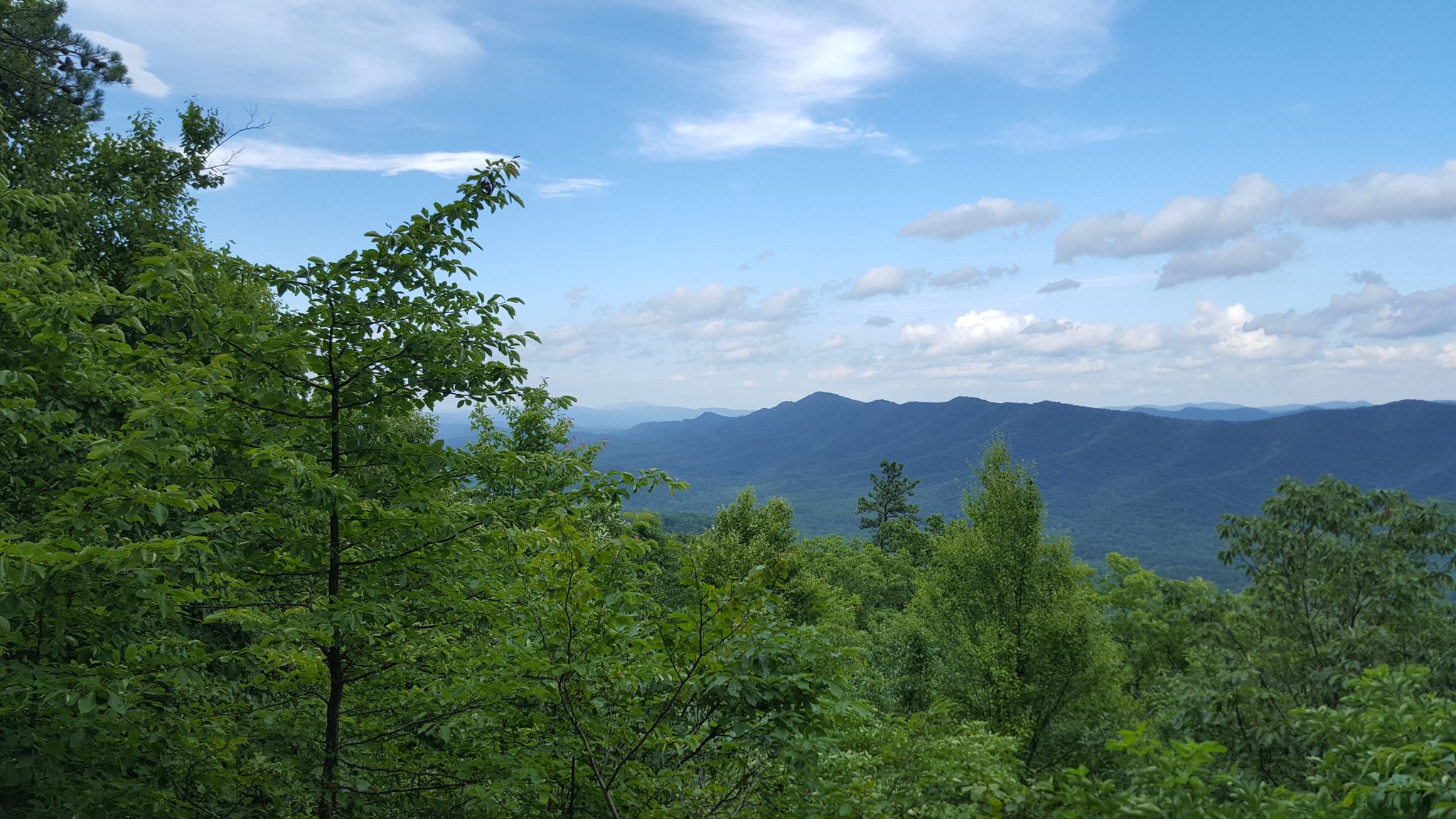
Tuscarora Trail — A remote trek across the backbone of Appalachia

The Appalachian Trail — America's most iconic long-distance hike
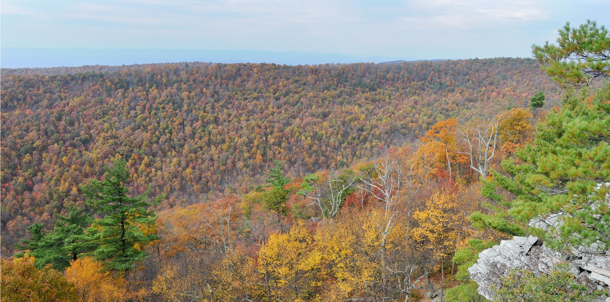
Massanutten Trail loop — Forested ridges & scenic valleys
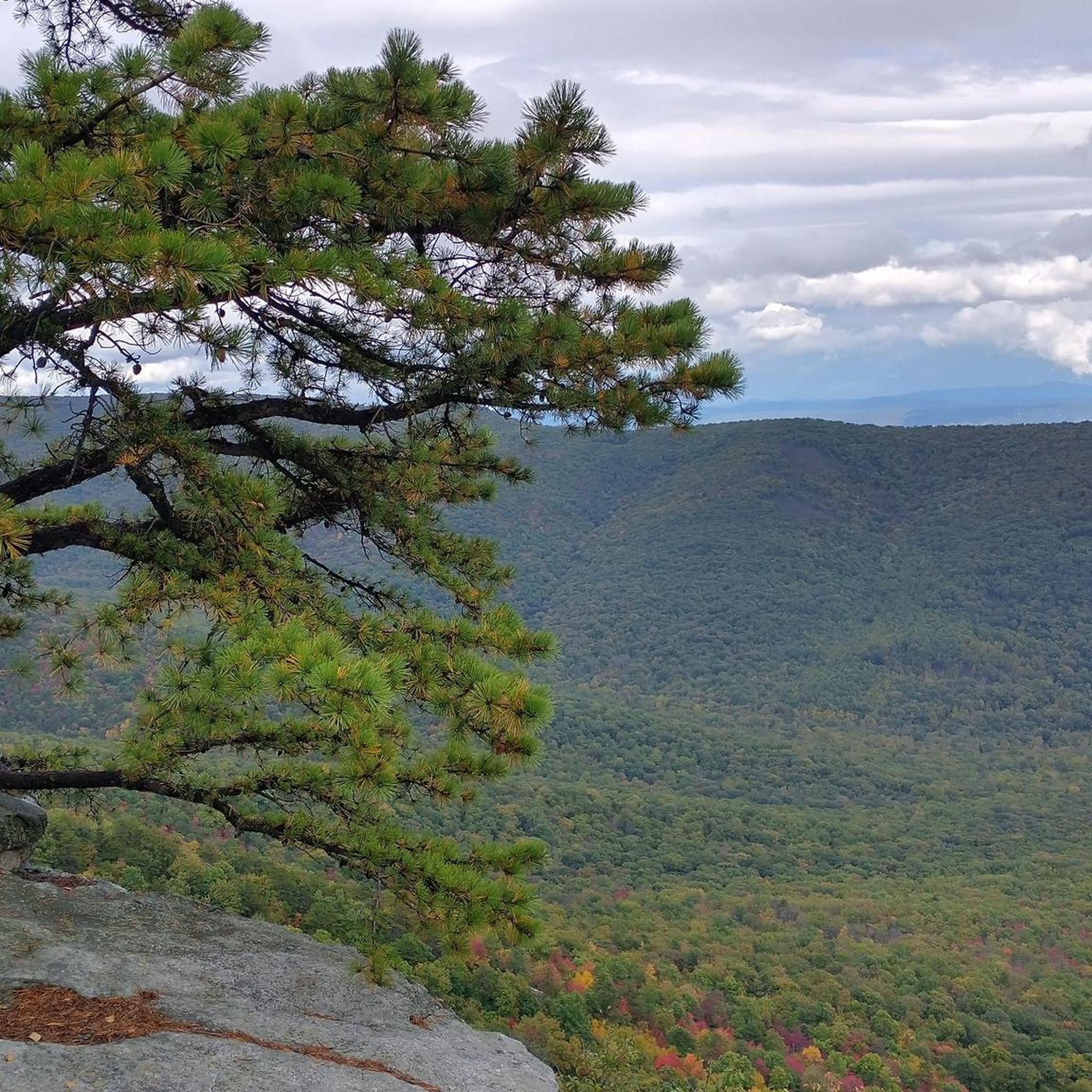
Hiking in George Washington And Jefferson National Forest
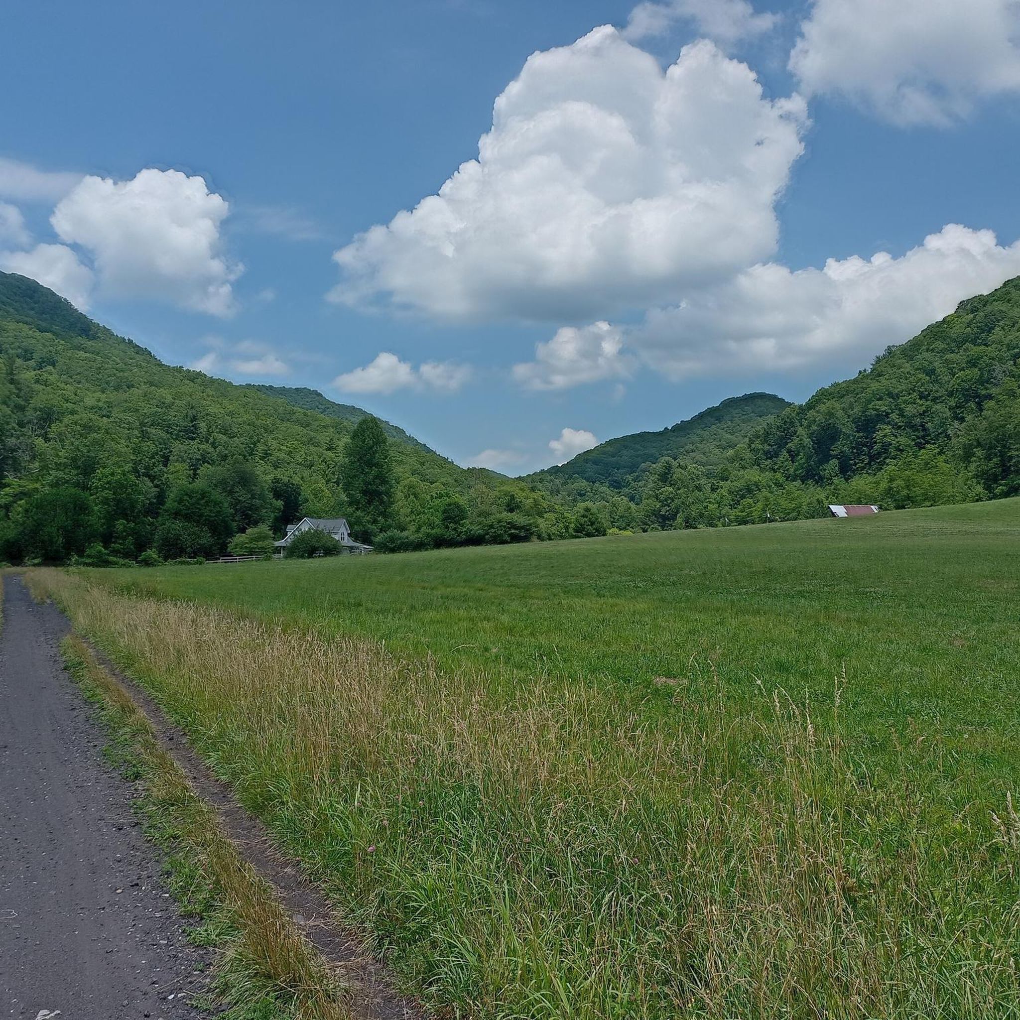
Cycling in George Washington And Jefferson National Forest
Road Cycling Routes in George Washington And Jefferson National Forest
Running Trails in George Washington And Jefferson National Forest

Gravel biking in George Washington And Jefferson National Forest
Other adventures in George Washington And Jefferson National Forest


Tips from the Community

Buzzard Rock Overlook sits just a few miles from Fort Valley Overlook, offering a strategic view of Buzzard Rock and the Shenandoah Valley. It’s a rocky stretch of trail and can be tougher if you're heading uphill. For those going downhill, watch your footing and take time to enjoy the sweeping views.
0
0
Fort Valley Overlook is a standout viewpoint along the Massanutten Trail, sitting just past the halfway mark. It’s a great excuse to take a break and enjoy wide views of the valley below before pushing on.
0
0

Buzzard Rock Overlook is a viewpoint along the Massanutten Trail on the way to Signal Knob. The Massanutten Trail gets rocky and steep pretty quickly and is a hike-a-bike trail for those without great stamina. That being said, views like these make the climb worth the challenge.
0
0
Fort Valley Overlook is one of a few great viewpoints along the Massanutten Trail. This overlook is over halfway up the trail and is a good excuse to take a break from pedaling and pushing for a moment.
0
0

Get ready to enjoy: rock gardens, descents, long climbs, technical sections, trails and fireroads. All concentrated in an amazing place for MTB.
0
0

This section of the IMBA Epic Trail "Southern Traverse" – or "Shenandoah Mountain Trail" – covers the high point of the route. If you want to save energy, do this ride as a Shuttle and call Shenandoah Mountain Touring. More information can be found here: http://www.mtntouring.com/mountain/htm/home/page_home.htm.
0
0
Mountain Top Trail features great vistas of Douthat Lake, challenging climbs and fun descents.
0
0
Frequently Asked Questions
What kind of terrain can I expect on mountain bike trails in George Washington And Jefferson National Forest?
The George Washington And Jefferson National Forest offers a wide variety of terrain, from rolling forest roads to challenging, technical singletrack. You'll encounter diverse landscapes, including Appalachian hardwood and mixed pine-hardwood forests, with significant elevation changes ranging from 515 feet to Virginia's highest point at 5,729 feet. This mountainous environment provides a comprehensive trail system that caters to different skill levels.
Are there mountain bike trails suitable for beginners or families in the George Washington And Jefferson National Forest?
Yes, the forest offers trails suitable for various skill levels. While many trails are moderate to difficult, there are options for easier rides. For instance, the Bald Mountain Jeep Trail is a moderate route that offers a sustained ride through varied forest terrain, which can be a good option for those looking for a less technical experience. There are 2 easy tours available in the region according to komoot data.
Can I bring my dog on the mountain bike trails in George Washington And Jefferson National Forest?
Generally, dogs are permitted on trails within the George Washington And Jefferson National Forests, but they must be kept on a leash. It's always a good idea to check specific trail regulations or wilderness area rules before you go, as some areas might have restrictions.
Are there any circular mountain bike routes in the George Washington And Jefferson National Forest?
Yes, there are several circular routes available for mountain bikers. A notable example is the Lookout Mountain Loop from Stokesville, which is a moderate 8.8-mile path offering scenic views and a balanced mix of climbing and descent. Another option is the Meneka Peak Loop via Massanutten Trail and Tuscarora Trail.
What kind of natural features or landmarks can I expect to see along the mountain bike trails?
The George Washington And Jefferson National Forests are rich in natural beauty. You might encounter stunning viewpoints like Buzzard Rock, or even reach summits such as Sharp Top Mountain or Mount Rogers Summit. The region also boasts numerous water features, including over 2,300 miles of streams and notable waterfalls like Cascades Falls and Roaring Run Falls, though specific trails might not pass directly by all of them. The forests themselves are vast, with diverse Appalachian hardwood and mixed pine-hardwood types.
How long do mountain bike trails typically take to complete in this region?
Trail durations vary significantly based on length and difficulty. For example, the moderate Bald Mountain Jeep Trail, at 19.9 miles, typically takes about 3 hours 32 minutes. A more challenging route like the Mountain Momma Expert Cross Country Trail, which is 19.2 miles, can be completed in about 2 hours 52 minutes due to its technical nature. The longest trail listed, the IMBA Epic Trail – Southern Traverse, is 35.9 miles and can take around 5 hours to complete.
What do other mountain bikers say about the trails in George Washington And Jefferson National Forest?
The mountain bike trails in George Washington And Jefferson National Forest are highly regarded by the komoot community, holding an average rating of 5.0 stars from over 2 reviews. Many mountain bikers praise the diverse mountainous terrain and the extensive network of trails that cater to different ability levels, from moderate forest paths to difficult, technical singletrack.
Are there any particularly challenging mountain bike trails for experienced riders?
Absolutely. For experienced riders seeking a challenge, the George Washington And Jefferson National Forest offers demanding routes. The Mountain Momma Expert Cross Country Trail is a difficult 19.2-mile route through challenging mountainous terrain. Additionally, the IMBA Epic Trail – Southern Traverse is a very long and difficult trail, spanning nearly 36 miles with significant elevation changes, providing a truly epic experience.
How many mountain bike trails are available in George Washington And Jefferson National Forest?
There are over 50 mountain bike trails available in the George Washington And Jefferson National Forest. This includes a mix of difficulties, with 28 moderate and 24 difficult routes, ensuring options for various skill levels.
Is parking readily available at trailheads in the George Washington And Jefferson National Forest?
Parking is generally available at designated trailheads and recreation sites throughout the George Washington And Jefferson National Forests. Given the vastness of the forest, specific parking information can vary by location, so it's advisable to check details for your chosen trailhead in advance.
What is the best time of year to go mountain biking in George Washington And Jefferson National Forest?
The George Washington And Jefferson National Forests offer great mountain biking opportunities across multiple seasons. Spring and fall are often favored for their milder temperatures and vibrant foliage, making for very scenic rides. Summer can be enjoyable, especially at higher elevations, but be prepared for warmer weather. Winter riding is possible on some trails, depending on snow and ice conditions.
Most popular routes in George Washington And Jefferson National Forest
Most popular attractions in George Washington And Jefferson National Forest

Get inspired with the komoot mobile app


Explore more
Browse the best MTB trails in other regions.
