The best gravel rides in George Washington And Jefferson National Forest
4.5
(13)
192
riders
34
rides
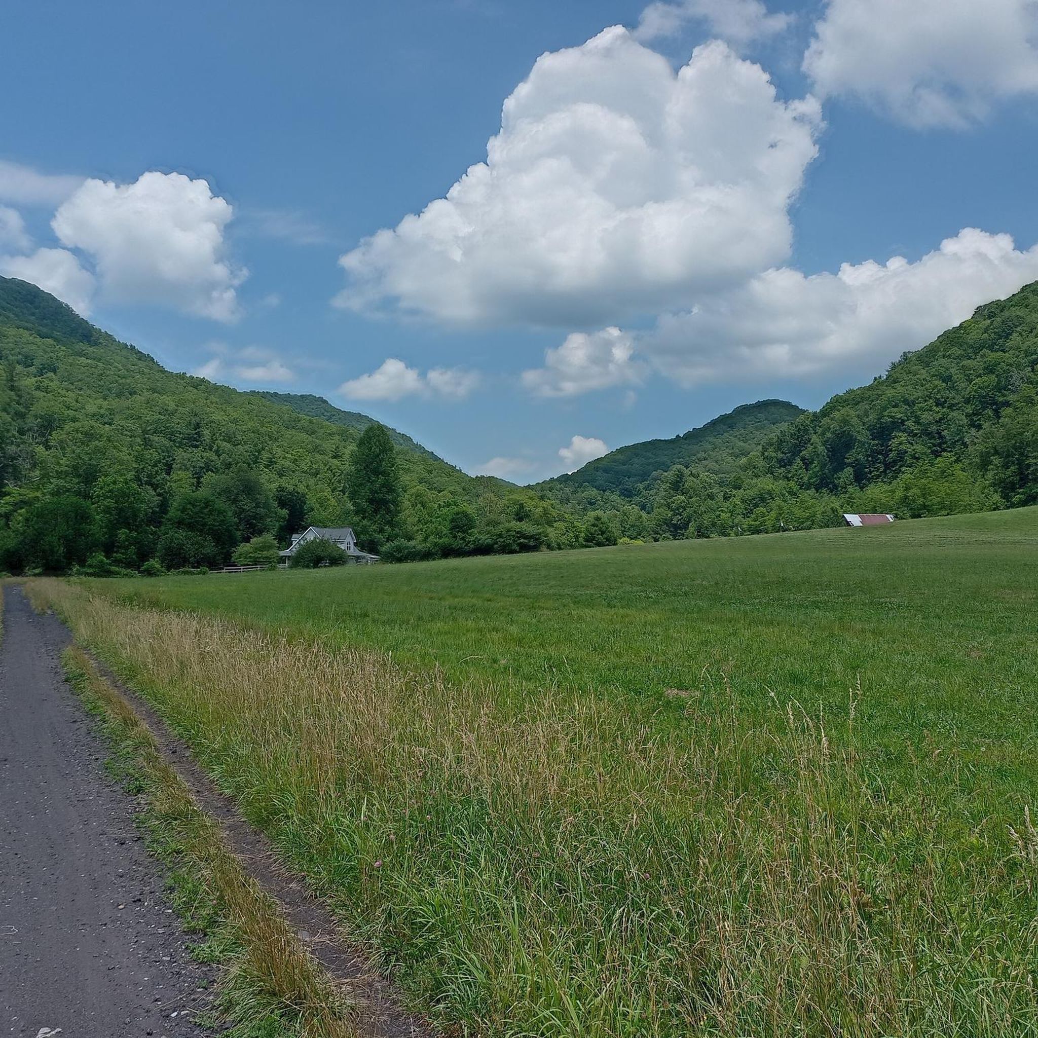
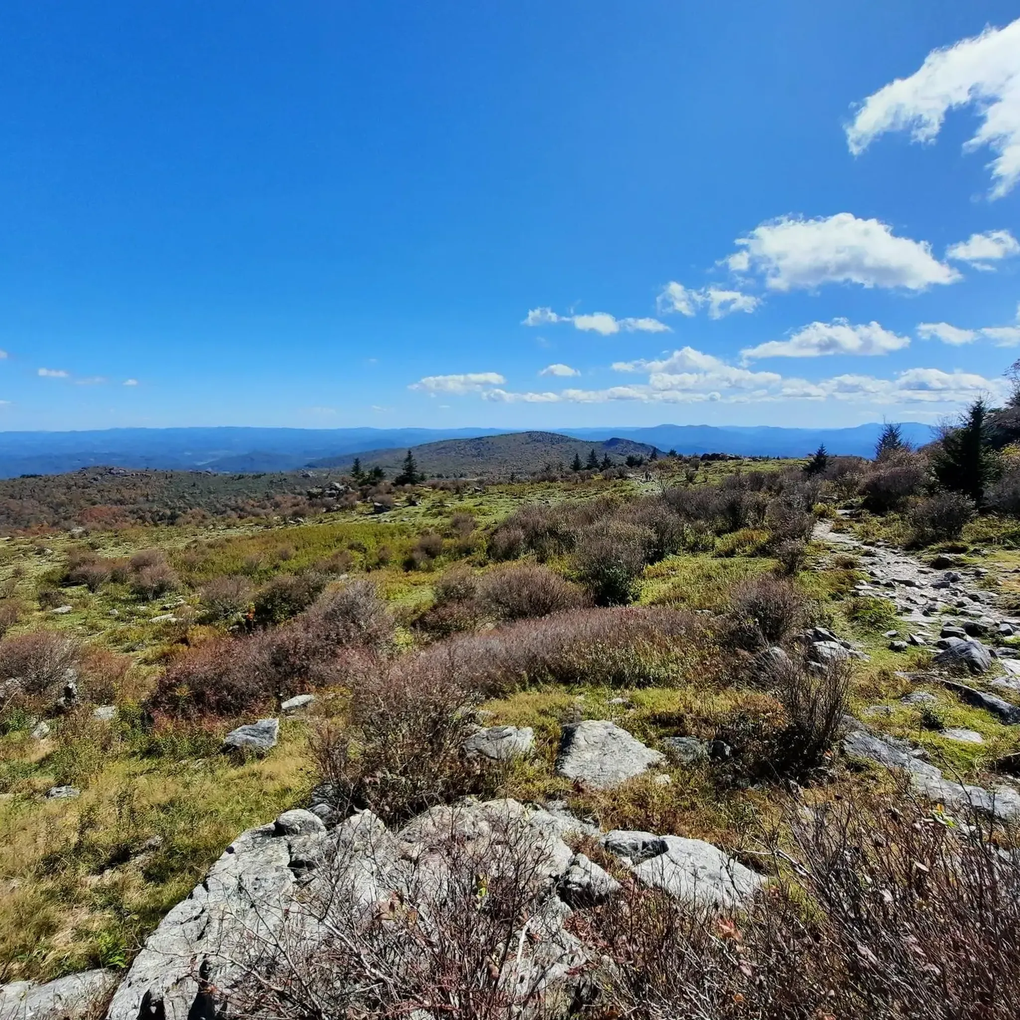
Gravel biking in George Washington And Jefferson National Forest offers extensive opportunities across 1.8 million acres of the Appalachian Mountains. The region is characterized by a vast network of forest roads and multi-use trails, traversing diverse landscapes from river valleys to mountain peaks. Elevations range significantly, providing varied terrain that includes challenging climbs and significant elevation gains suitable for gravel cycling. The geology features ridges and valleys with sandstone, shale, and limestone formations, alongside numerous streams and forested areas.
Best gravel bike trails in George Washington And Jefferson National Forest
- The most popular gravel bike trail is Damascus City Park – Holston River Confluence loop from Damascus, a 23.5 miles (37.9 km) trail that takes 2 hours 13 minutes to complete. This moderate route explores the confluence of the Holston River, offering a designated gravel biking experience.
- Another top favourite among local gravel bikers is Briery Branch Reservoir – Stoney Ridge Overlook loop from Narrow Back Mountain, a difficult 34.5 miles (55.5 km) path. This route features substantial elevation gain, leading to overlooks with panoramic views of the surrounding mountainous terrain.
- Local gravel bikers also love the Grindstone Mountain – Briery Branch Reservoir loop from Dyers Knob, a 35.1 miles (56.5 km) trail leading through mountainous terrain and reservoir views, often completed in about 4 hours 12 minutes.
- Gravel biking in George Washington And Jefferson National Forest is defined by extensive forest roads, mountain peaks, and river valleys. The network offers options for various ability levels, from moderate rides to challenging climbs.
- The routes in George Washington And Jefferson National Forest are highly rated by the komoot community with an average score of 4.5 stars from over 5 reviews. More than 100 gravel bikers have used komoot to explore George Washington And Jefferson National Forest's varied terrain.
Last updated: August 21, 2026
4.0
(2)
26
riders
37.9km
02:13
350m
350m
Moderate gravel ride. Good fitness required. Mostly paved surfaces. Suitable for all skill levels.
7
riders
Hard gravel ride. Very good fitness required. Mostly paved surfaces. Suitable for all skill levels.

Sign up for free
8
riders
55.5km
03:47
1,160m
1,160m
Hard gravel ride. Very good fitness required. Mostly paved surfaces. Suitable for all skill levels.
6
riders
102km
06:59
2,030m
2,030m
Hard gravel ride. Very good fitness required. Mostly paved surfaces. Suitable for all skill levels.
5.0
(1)
8
riders
42.9km
02:44
720m
710m
Hard gravel ride. Very good fitness required. Mostly paved surfaces. Suitable for all skill levels.
Get access to more routes and recommendations from other explorers.
Sign up for free
Already have an account?
Our route recommendations are based on thousands of hikes, rides, and runs completed by other people on komoot.
Start today with a free account
Your next adventure awaits.
Login or Signup
Popular around George Washington And Jefferson National Forest
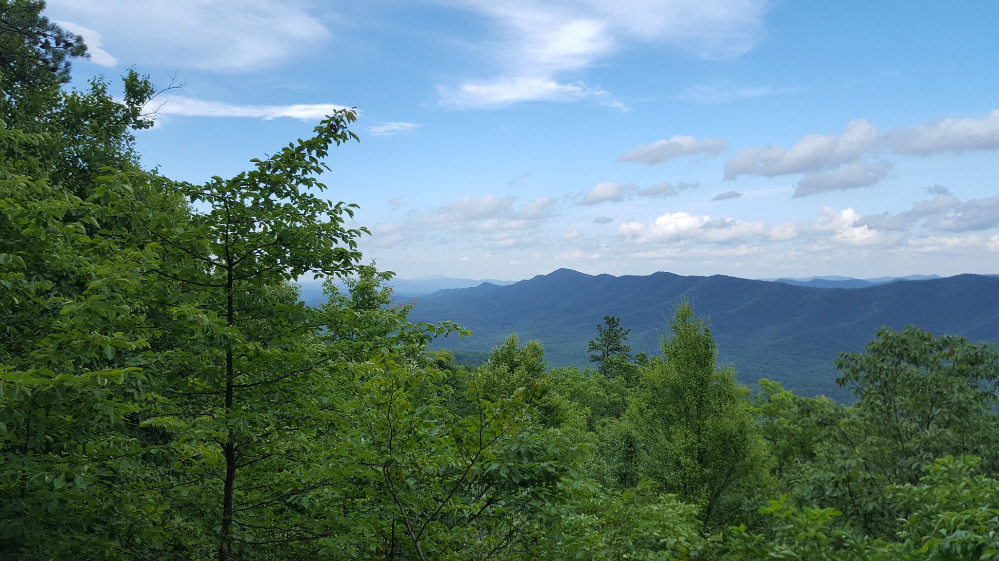
Tuscarora Trail — A remote trek across the backbone of Appalachia

The Appalachian Trail — America's most iconic long-distance hike
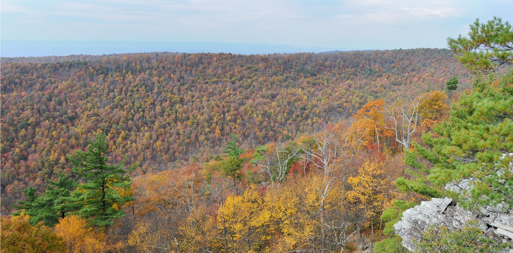
Massanutten Trail loop — Forested ridges & scenic valleys
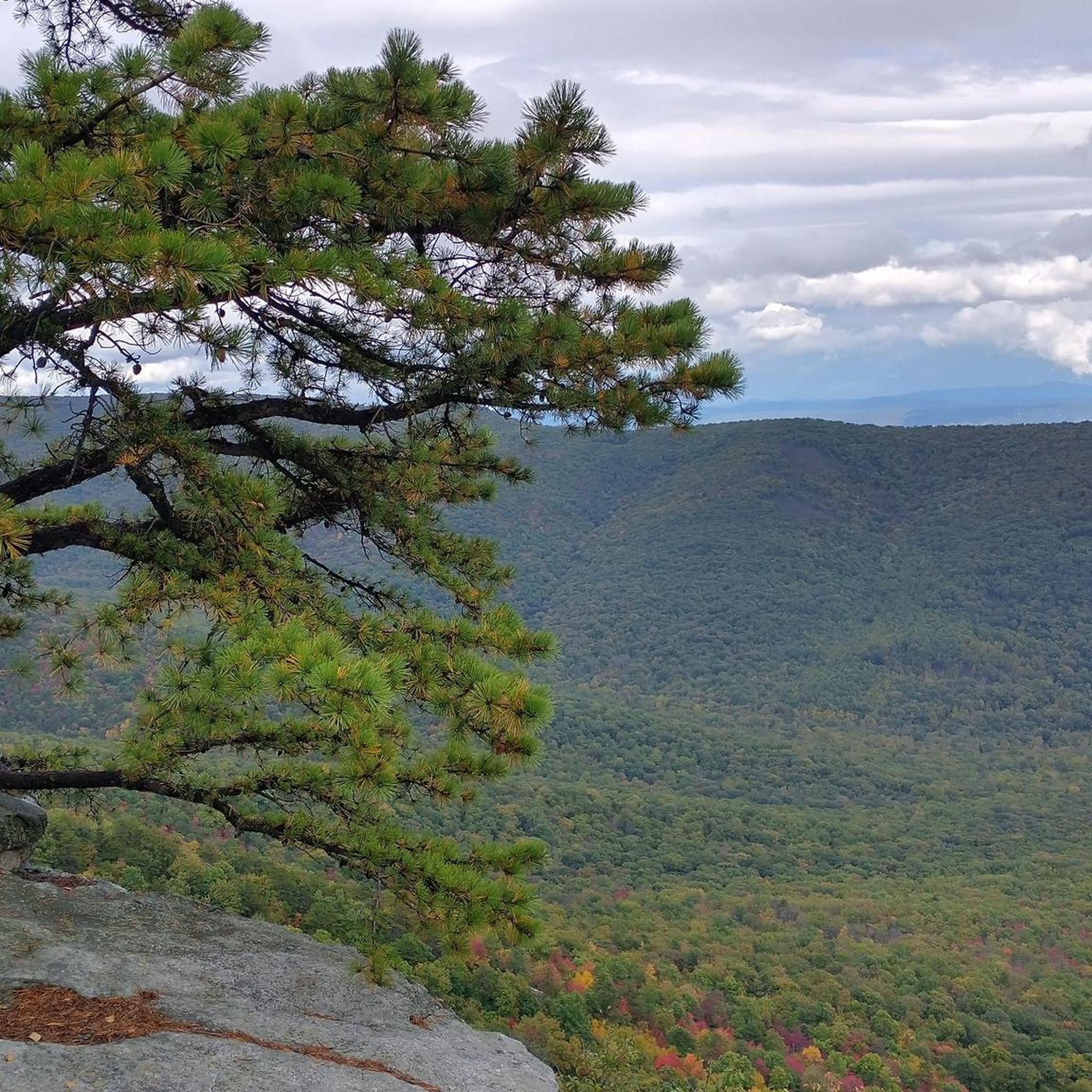
Hiking in George Washington And Jefferson National Forest
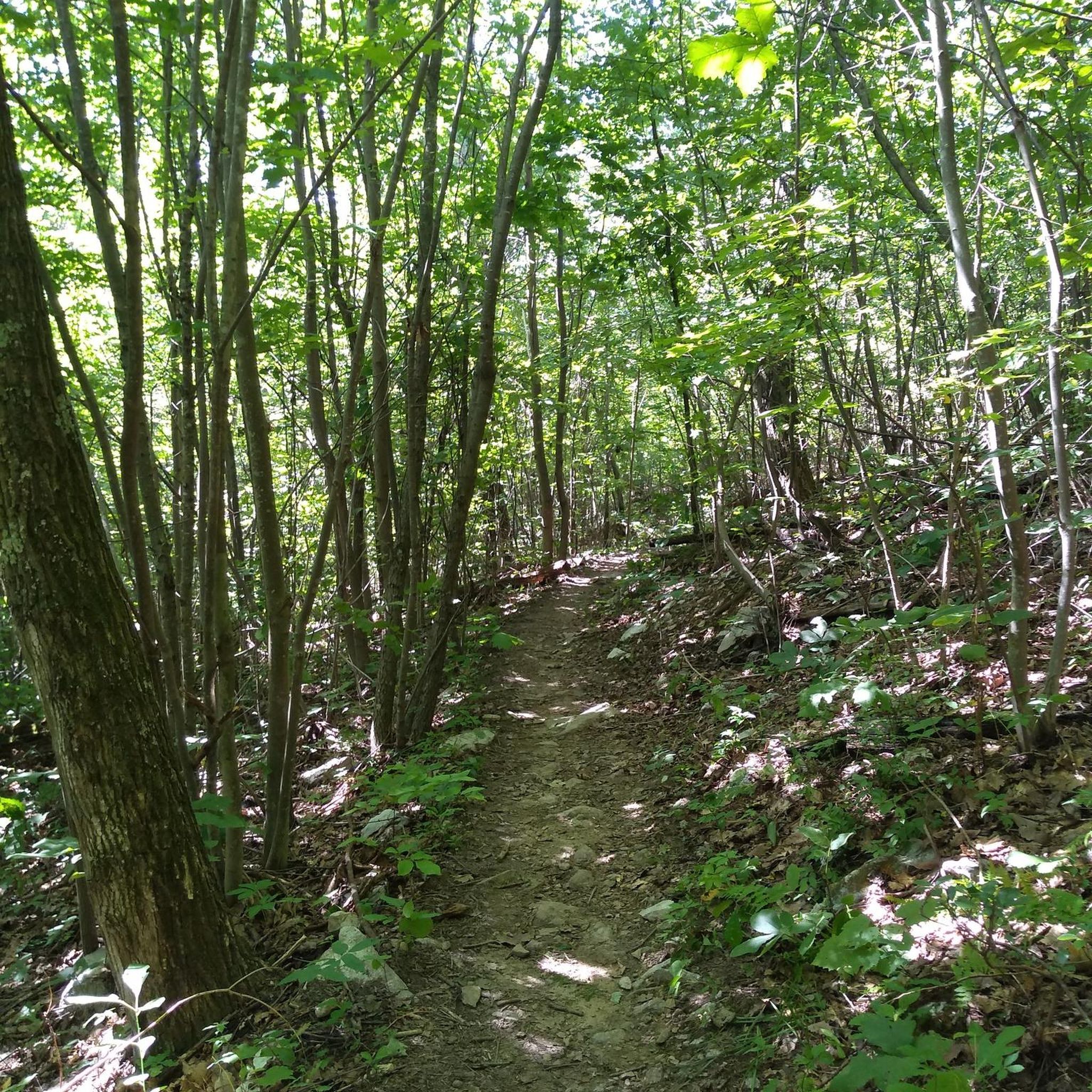
MTB Trails in George Washington And Jefferson National Forest
Cycling in George Washington And Jefferson National Forest
Road Cycling Routes in George Washington And Jefferson National Forest
Running Trails in George Washington And Jefferson National Forest
Other adventures in George Washington And Jefferson National Forest


Tips from the Community

Nice and flat gravel road along the ridge with some great views
0
0
Steep climb over approx .5 mi on sometimes loose gravel. Incline >10%
0
0
Single trail along Lake Laura. Very technical to ride on gravel bike with tree roots and sharp rocks. MTB better suited.
2
0

The Virginia Creeper Trail is one of the premier rails-to-trails works in the county. For nearly 35 miles of converted railroad hikers, bikers, and runners can explore the wilderness at their own pace. This particular section follows along the path of Whitetop Laurel Creek, with a number of bridges as the path and creek cross each other at the bottom of the valley.
0
0
The Virginia Creeper Trail crosses the Holston River at the confluence of its Middle and South Forks. An impressive wooden bridge crosses the river and makes for dramatic photo opportunities.
0
0
If you're looking for a hike in Damascus then you should start here in the city park. Not only does the Appalachian Trail pass through but so does the Virginia Creeper Trail. The Appalachian Trail will take you up to the ridgeline as you hike out of town, while the Virginia Creeper Trail sticks to the low ground and follows the creek through the valley.
1
0
This is a small brewery in a small town but they make excellent brews. Keep in mind they don't serve any food, though there is a food truck here at certain times. If you're passing by on the Virginia Creeper Trail this brewery is worth a stop.
0
0
Frequently Asked Questions
How many gravel bike trails are available in George Washington And Jefferson National Forest?
You'll find over 30 gravel bike trails in the George Washington and Jefferson National Forests. These routes offer a wide range of experiences, from moderate rides to challenging climbs with significant elevation gain, catering to various skill levels.
What kind of terrain and difficulty can I expect on gravel bike trails in George Washington And Jefferson National Forest?
The George Washington and Jefferson National Forests offer diverse terrain, characterized by extensive forest roads, multi-use trails, and varied landscapes from river valleys to mountain peaks. You can expect significant elevation changes, with routes traversing ridges and valleys formed by sandstone, shale, and limestone. While there are some moderate options, the majority of the routes, like the challenging Briery Branch Reservoir – Stoney Ridge Overlook loop from Narrow Back Mountain, feature substantial climbs and descents.
Are there any family-friendly gravel biking options in the George Washington And Jefferson National Forest?
Yes, while many routes offer significant challenges, the region also includes easier options suitable for families. For instance, rail trails like the Virginia Creeper Trail offer scenic, gentler rides along converted railroad beds. When planning, look for routes with less elevation gain and smoother surfaces, which are often found on designated forest roads.
Can I bring my dog on the gravel bike trails in George Washington And Jefferson National Forest?
Generally, dogs are welcome on trails within the George Washington and Jefferson National Forests, but they must be kept on a leash. It's always a good idea to check specific trail regulations before you go, especially for multi-use trails where you might encounter hikers or horses.
What are some scenic natural features or landmarks I can see along the gravel bike trails?
The forests are rich in natural beauty. You can encounter stunning waterfalls like Cascade Falls or Crabtree Falls, which is Virginia's highest. Many routes offer panoramic mountain views, serene valleys, and clear streams. Lakes such as Otter Lake and Lake Moomaw are also popular spots for recreation.
Are there any circular gravel bike routes in the George Washington And Jefferson National Forest?
Yes, many of the gravel bike routes in the George Washington and Jefferson National Forests are designed as loops, allowing you to start and end at the same point. Examples include the popular Damascus City Park – Holston River Confluence loop from Damascus and the more challenging House Mountain Overlook – Buena Vista Overlook loop from Buena Vista.
What is the best time of year for gravel biking in George Washington And Jefferson National Forest?
Spring and fall generally offer the most pleasant conditions for gravel biking, with milder temperatures and beautiful foliage. Summer can be warm, but higher elevations provide cooler air. Winter biking is possible but requires appropriate gear for colder temperatures and potential snow or ice, especially at higher altitudes.
Where can I find parking and access points for gravel biking trails?
Access to the vast network of forest roads and trails is available throughout the 1.8 million acres of the George Washington and Jefferson National Forests. Specific parking areas are often located at trailheads or designated recreation sites. It's advisable to check the starting point of your chosen route, such as the Grindstone Mountain – Briery Branch Reservoir loop from Dyers Knob, for precise parking information.
Do I need any special permits for gravel biking in the George Washington And Jefferson National Forest?
Generally, no special permits are required for gravel biking on open forest roads and most multi-use trails within the George Washington and Jefferson National Forests. However, always check for any specific regulations or fees that might apply to certain recreation areas or wilderness zones you plan to enter.
What do other gravel bikers enjoy the most about gravel biking in George Washington And Jefferson National Forest?
The area is highly rated by the komoot community, with an average score of 4.5 stars. Reviewers often praise the extensive network of forest roads, the diverse landscapes, and the challenging climbs that lead to rewarding panoramic views. Many appreciate the sense of solitude and immersion in nature that the vast forests provide.
Are there any places to eat or stay near the gravel biking trails?
While the George Washington and Jefferson National Forests offer a wilderness experience, you can find amenities in nearby towns and communities surrounding the forest boundaries. These areas often provide options for cafes, pubs, and various accommodations, ranging from campgrounds to lodges and hotels. Planning your route in conjunction with these towns can help ensure you have access to services.
What is the longest gravel bike trail in the George Washington And Jefferson National Forest?
One of the longer and more challenging routes is the Long Mountain loop from Three Ridges Wilderness, which spans over 63 miles (102 km) and involves significant elevation gain, making it a substantial undertaking for experienced gravel bikers.
Most popular routes in George Washington And Jefferson National Forest
Most popular attractions in George Washington And Jefferson National Forest

Get inspired with the komoot mobile app


Explore more
Browse the best Gravel rides in other regions.
