The best walks and hikes in George Washington And Jefferson National Forest
4.6
(402)
5,217
hikers
321
hikes
Hiking in George Washington And Jefferson National Forest covers a vast area of Appalachian wilderness across Virginia and West Virginia. The terrain is characterized by rolling mountains, dense woodlands, and clear streams, offering diverse landscapes for hikers. The forest contains an extensive network of trails, including a significant portion of the Appalachian Trail, providing pathways suitable for various skill levels. Elevations range from 515 feet near the Shenandoah River to 5,729 feet at Mount Rogers, Virginia's highest point.
Best hiking trails in George Washington And Jefferson National Forest
- The most popular hiking route is Humpback Rocks loop via Apalachian Trail — George Washington & Jefferson National Forest, a 4.1 mile (6.6 km) trail that takes 2 hours 10 minutes to complete. This route involves a steady climb to a rock outcrop with expansive views.
- Another top favourite among local hikers is Cascades National Recreation Trail, a moderate 6.6 miles (10.6 km) path. The trail features the 66-foot Cascades Falls and scenic creek views.
- Local hikers also love the Mount Rogers and Appalachian Trail Loop, a 16.9 miles (27.1 km) trail leading through challenging terrain to Virginia's highest point, often completed in about 7 hours 58 minutes.
- Hiking in George Washington And Jefferson National Forest is defined by its rolling mountain ridges, old-growth forests, and numerous waterfalls. The extensive trail network provides routes suitable for various fitness and experience levels.
- The routes in George Washington And Jefferson National Forest are highly rated by the komoot community with an average score of 4.6 stars from over 220 reviews. More than 3,200 hikers have used komoot to explore George Washington And Jefferson National Forest's varied terrain.
Last updated: August 31, 2026
4.9
(11)
143
hikers
10.6km
03:16
470m
290m
The Cascades National Recreation Trail offers a captivating journey through the George Washington and Jefferson National Forests, culminating in the impressive 66-foot Cascades Falls. Following Little Stony Creek, you'll traverse well-maintained paths, including stone steps and bridges, surrounded by a rich forest canopy of hemlocks, oaks, and pines, with rhododendron thickets adding to the lush scenery. It's a moderate 6.6-mile (10.6 km) hike with 1555 feet (474 metres) of elevation gain, typically taking around 3 hours and 16 minutes, making it a perfect blend of challenge and reward.
When planning your visit, note that the trailhead offers convenient amenities like picnic areas and restrooms, though a day-use parking fee applies. The trail is open all year, but spring and fall are particularly scenic with wildflowers or vibrant foliage. While public transport options are limited, the well-marked Cascades National Recreation Trail parking and trailhead make car access easy. Always check local conditions, especially if considering a winter hike, and remember that dogs are welcome on leash.
This trail is renowned for its excellent maintenance and its designation as a National Recreation Trail, highlighting its significance. Beyond the main waterfall, you'll discover smaller cascades and striking limestone cliffs along Little Stony Creek, which is also home to native brook trout. Keep an eye out for an old sawmill boiler along the lower trail, a nod to the area's history, adding an interesting historical layer to this family-friendly and dog-friendly adventure.
4.9
(11)
143
hikers
10.6km
03:16
470m
290m
The Cascades National Recreation Trail is a truly picturesque moderate hike, guiding you along the Little Stony Creek through a shaded mountain landscape. You'll encounter numerous mini waterfalls, towering limestone cliffs, and a path often carved into the rock itself, complete with stone steps and bridges. The forest canopy, rich with hemlocks and oaks, creates a serene atmosphere, especially vibrant with fall colors, all leading to the impressive 66-foot Cascade Falls. This 6.6-mile (10.6 km) route involves 1555 feet (474 metres) of elevation gain and typically takes about 3 hours and 16 minutes.
Planning your trip is straightforward, though a $3 per vehicle parking fee applies, and the lot is open from sunrise to sunset. You'll find accessible restrooms and a picnic area at the trailhead. The trail offers two distinct paths: a lower, rockier option that hugs the creek and an upper, wider trail that provides a steadier climb, making it a versatile choice for families, children, and dogs. Consider visiting in the fall for spectacular foliage or in late spring for the rhododendron bloom.
Designated a National Recreation Trail for its high scenic value, this route is more than just a walk to a waterfall. The unpolluted waters of Little Stony Creek are home to native brook trout, and you might spot various birds like the Louisiana Waterthrush. There's even a touch of history with an old sawmill boiler from the 1920s-30s found along the way, adding another layer of interest to this already captivating journey.

Sign up for free
5.0
(2)
41
hikers
16.6km
06:30
570m
1,080m
Prepare for a challenging journey along the Appalachian Trail: Reeds Gap to Tye River, a difficult hike that winds through varied forest landscapes. You will cover 10.3 miles (16.6 km) and ascend 1875 feet (571 metres) over approximately 6 hours and 30 minutes. The route offers a true immersion in nature, with sections described as lush and dim, almost like a rainforest. As you progress, you'll encounter strenuous terrain, including rocky paths that demand careful footing. Keep an eye out for the panoramic vistas from Hanging Rock, where you can see The Priest and Three Ridges stretching into the distance.
This point-to-point route often requires a car shuttle, so plan your logistics carefully before you set out. Many hikers choose to leave one vehicle at the Tye River parking area and then drive to Reeds Gap to begin their hike. Be prepared for rocky sections, especially during a long descent towards Harper's Creek Shelter, where loose rocks make careful footing essential. If you are considering an overnight trip, campsites are available, particularly around Harper's Creek Shelter.
This section of the Appalachian Trail takes you deep into the George Washington and Jefferson National Forests, offering a true wilderness experience. Beyond the rewarding views from Hanging Rock, you'll also find sweeping eastern, southern, and western perspectives from Chimney Rock. A unique feature of the route is its conclusion with a crossing of the Tye River via a wobbly suspension footbridge, providing a memorable end to your adventure.
4.9
(10)
33
hikers
16.2km
05:23
720m
780m
Embark on a difficult 10.0-mile (16.2 km) hike up Humpback Rocks and Dobie Mountain, gaining 2354 feet (718 metres) in elevation over approximately 5 hours and 22 minutes. You will navigate varied terrain, moving through thick woods, rocky sections, and wooden steps as you climb. The highlight is reaching the View from Humpback Rocks, where you can enjoy spectacular 360-degree vistas of the Rockfish and Shenandoah Valleys.
Due to the steep and rocky sections of the trail, proper footwear is highly recommended for your safety and comfort. The Humpback Rocks area is very popular, so be prepared for crowds, especially if you plan to visit on weekends. Plan your start time accordingly to make the most of your experience.
While the route includes Dobie Mountain, be aware that the dedicated Dobie Mountain Trail itself has been permanently closed. Your focus will be on the rewarding Humpback Rocks ascent and its surrounding areas. Before or after your hike, you can explore the Humpback Rocks Visitor Center, which features a mountain life museum and a historic farm.
5.0
(1)
19
hikers
27.1km
07:57
660m
960m
The Mount Rogers and Appalachian Trail Loop offers a truly unique hiking experience, guiding you through dense forests, expansive highland meadows, and a rare high-altitude spruce-fir forest. You'll encounter diverse terrain, from rocky sections around Wilburn Ridge to lush grassy balds, all while gaining 2172 feet (662 metres) over 16.9 miles (27.1 km). The highlight for many is spotting the wild ponies that freely roam these scenic landscapes, making this a memorable and challenging adventure.
This difficult route typically takes around 7 hours and 57 minutes to complete as a day hike, though many hikers choose to backpack it over several days. The trail is located within the Mount Rogers National Recreation Area, offering various access points. Be prepared for potentially muddy and rocky conditions, especially after rain, and always check weather forecasts for higher elevations before you go.
Beyond the stunning scenery, this loop is notable for incorporating a significant section of the iconic Appalachian Trail and leading to Mount Rogers, Virginia's highest point. The unique ecosystems, including the spruce-fir forest, provide a glimpse into a rare natural world. It's one of the best loop trails Mount Rogers AT has to offer for those seeking a substantial and rewarding backcountry experience.
Get access to more routes and recommendations from other explorers.
Sign up for free
Already have an account?
Our route recommendations are based on thousands of hikes, rides, and runs completed by other people on komoot.
Start today with a free account
Your next adventure awaits.
Login or Signup
Popular around George Washington And Jefferson National Forest
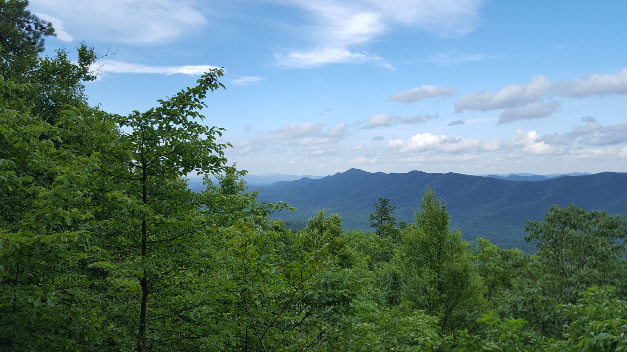
Tuscarora Trail — A remote trek across the backbone of Appalachia

The Appalachian Trail — America's most iconic long-distance hike
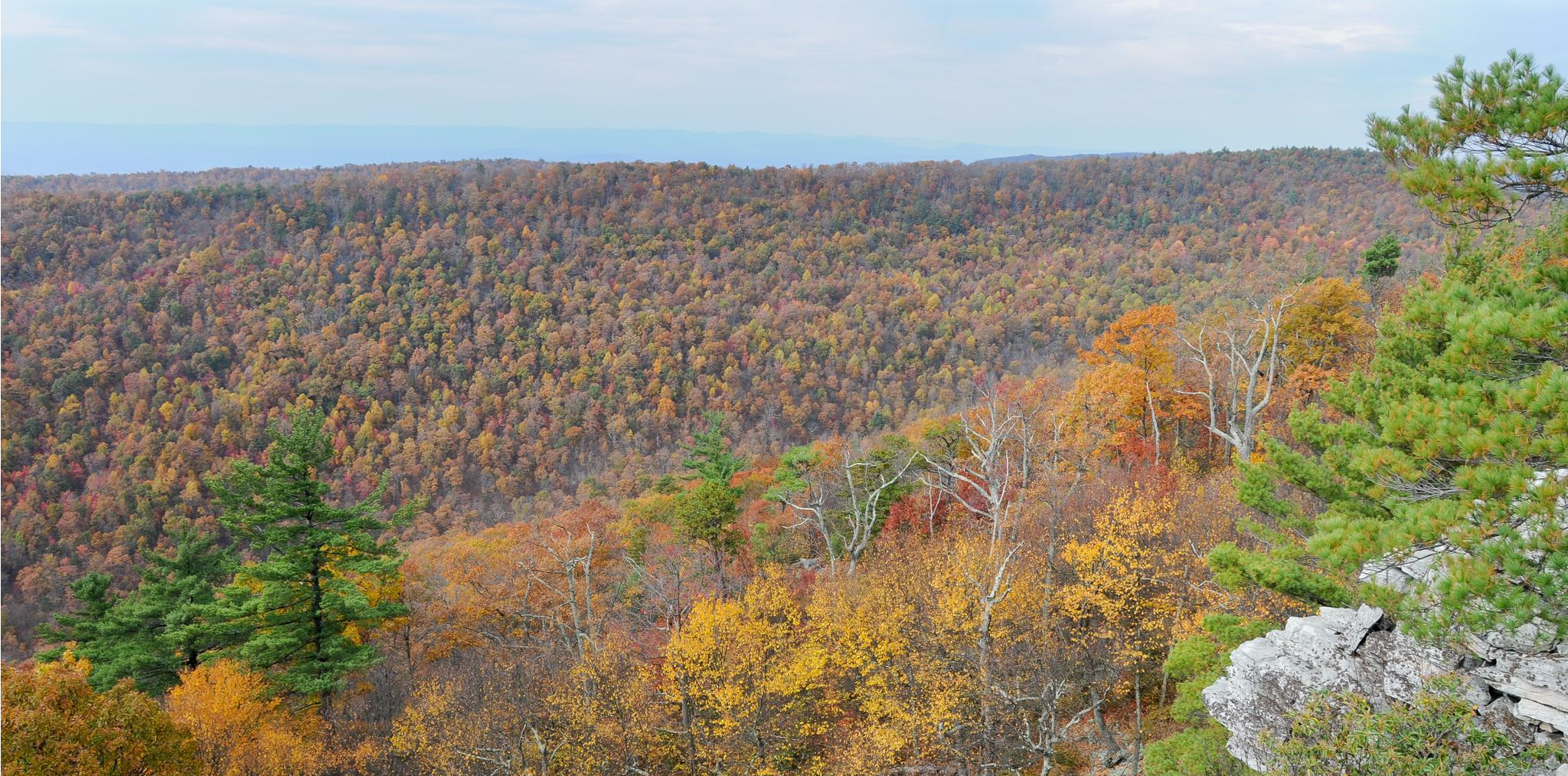
Massanutten Trail loop — Forested ridges & scenic valleys
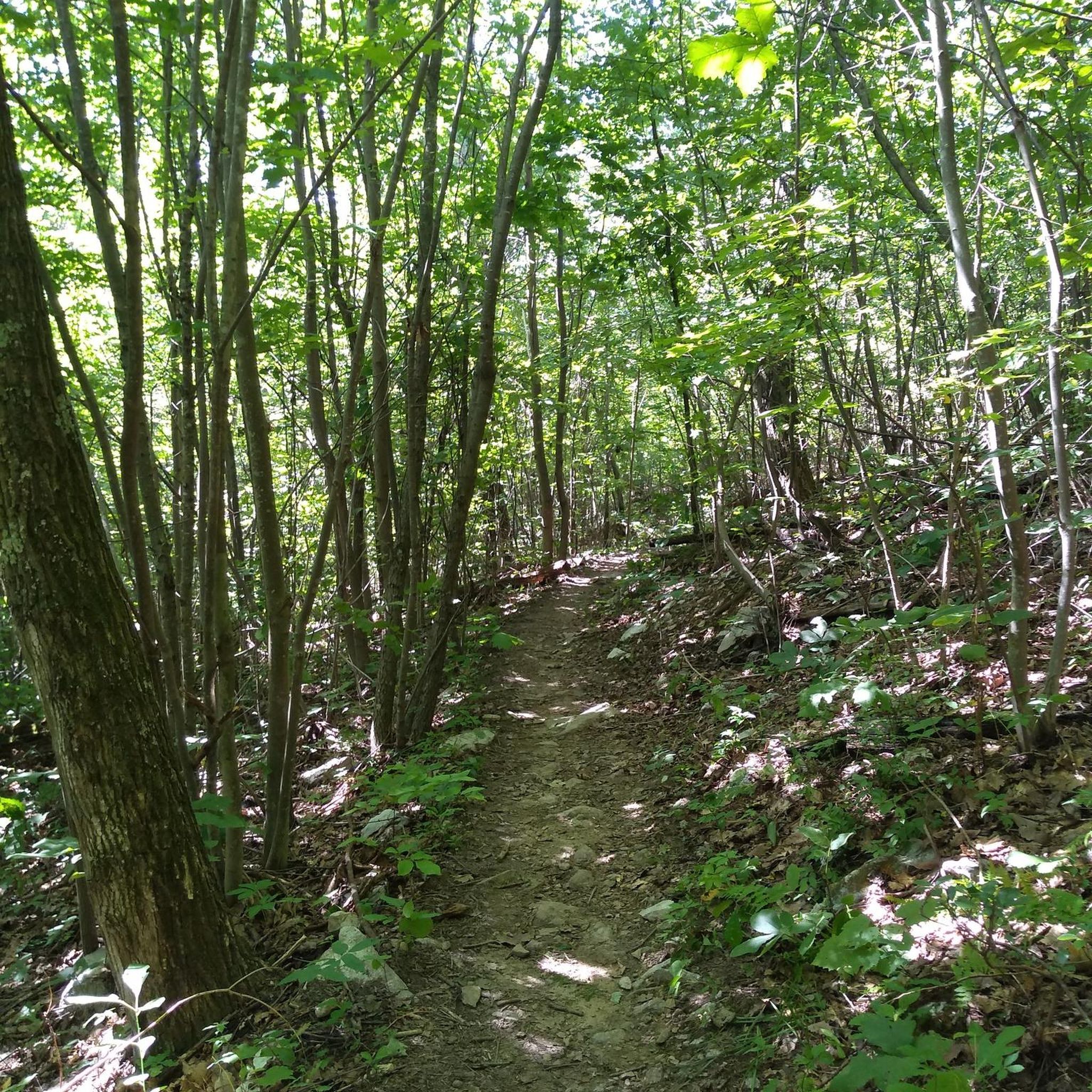
MTB Trails in George Washington And Jefferson National Forest
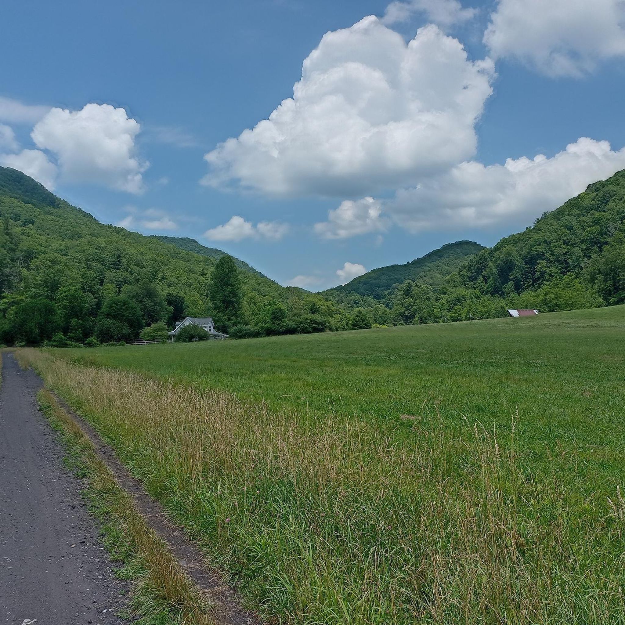
Cycling in George Washington And Jefferson National Forest
Road Cycling Routes in George Washington And Jefferson National Forest
Running Trails in George Washington And Jefferson National Forest

Gravel biking in George Washington And Jefferson National Forest
Other adventures in George Washington And Jefferson National Forest


Tips from the Community

Little Stony Creek forms a popular swimming hole at the base of Cascade Falls. The trail winds up the side of the basin to get a closer look at the falls via an elegant wood and stone-railed pathway. The rocks and water features make this an especially great spot for families with young kids during the summer.
1
0

Humpback Rocks is a popular hiking destination due to its accessibility from the Blue Ridge Parkway and I-64. The trail leads to a greenstone outcrop near the peak of Humpback Mountain, with a summit elevation of 3,080 feet. The name comes from the "hump" in the rock formation, which gives the mountain its name, making it stand out from the surrounding, more vegetated peaks. While the views are spectacular, be cautious, especially when the rocks are wet, and try to overlook the occasional disappointing graffiti in some areas.
0
0
This parking area is great for bikers as well as overnight hikers. There is a restroom here and a convergence of trails, including the Appalachian Trail, Elk Garden Trail, Virginia Highlands Horse Trail, Whitetop Road, and the county line. There is also a historical marker for the tallest mountain in Virginia, Mount Rogers.
0
0
Scales is a campground and the junction of five different trails, including the Appalachian Trail. Though referred to as a campground, it's not that official; it’s a fenced-off field with no officially marked campsites that the Forest Service allows you to camp in. Once you leave Fairwood Road, you come to Pine Mountain Road. It's a gravel ride but also a road, so it's wide enough and well maintained enough for cars.
0
0

Towering over Virginia's Blue Ridge Mountains, the iconic greenstone outcroppings of Humpback Rocks offer trail runners a challenging yet breathtaking journey. Located just six miles from the Blue Ridge Parkway entrance near Waynesboro, the distinctive rocky summit of Humpback Mountain stretches 3,080 feet skyward. Despite the surrounding summits blanketed in vegetation, Humpback’s exposed gray stones create a visual “hump” for which it is named, beckoning runners to take on the steep slope.
0
0

You just have to climb up the rock for a short time, which is not difficult, and you get such a beautiful view
1
0
Frequently Asked Questions
How many hiking trails are in the George Washington and Jefferson National Forests?
There are over 200 hiking routes to explore across the George Washington and Jefferson National Forests. These range from 57 easy trails suitable for all fitness levels to 37 difficult hikes for those seeking a challenge.
Are there any easy, family-friendly hikes?
Yes, the forests offer many options for families. For a relatively gentle walk that leads to a rewarding feature, consider the Saint Mary's Falls trail. It's a 4.2-mile (6.8 km) hike through a river valley with minimal elevation gain.
What are some challenging hikes in the area?
For a strenuous but rewarding day, the Sharp Top Trail is a great choice. It's a steep 3.3-mile (5.4 km) climb that offers incredible 360-degree views from the summit, making the effort worthwhile.
Can I bring my dog on the trails?
Yes, dogs are generally permitted on trails within the George Washington and Jefferson National Forests, but they must be kept on a leash at all times. It's important to be mindful of wildlife and other hikers, and always pack out any waste.
Are there any hikes with good panoramic views?
Absolutely. For one of the best panoramic views in the region, the hike to Big Schloss via Mill Mountain Trail is highly recommended. The trail leads to a rock outcrop with a wooden bridge, providing a stunning vista over the Great North Mountain range.
What do other hikers think of the trails in this region?
The trails are highly rated by the komoot community, with an average score of 4.6 stars. Hikers often praise the variety of the terrain, from rolling mountain ridges to serene river valleys, and the well-maintained paths, including sections of the famous Appalachian Trail.
Are there any hikes that lead to waterfalls?
Yes, the forests are known for beautiful waterfalls. Besides the popular Saint Mary's Falls, you can find other trails leading to cascades. Crabtree Falls, known as one of the highest waterfalls east of the Mississippi, and Cascades Falls are two other notable destinations for waterfall hikes in the region.
What is the best time of year to hike here?
Spring and fall are ideal for hiking in the forests. Spring offers pleasant temperatures and blooming wildflowers, while fall provides spectacular autumn colors and cooler, crisp air. Summer can be hot and humid, so early morning starts are recommended. Winter hiking is possible but requires preparation for cold, ice, and potential snow on the trails.
What kind of wildlife might I see while hiking?
The forests are home to a diverse range of wildlife. It's common to see white-tailed deer and a wide variety of birds. Black bears are also present in the area, so it's important to be bear-aware by storing food properly and knowing what to do during an encounter. You might also spot wild ponies in the high-country areas like Mount Rogers National Recreation Area.
How does hiking here compare to Shenandoah National Park?
While both offer classic Appalachian scenery, the George Washington and Jefferson National Forests are much larger and generally feel more remote and less crowded than Shenandoah National Park. The trail network is more expansive, offering more opportunities for solitude and long-distance backpacking. Shenandoah's Skyline Drive provides easier access to many trailheads, whereas access in the National Forests can sometimes require driving on gravel forest service roads.
Where can I find information on parking at trailheads?
Most popular trailheads, such as those for Humpback Rocks or Dragon's Tooth, have designated parking areas. However, these can fill up quickly, especially on weekends. It's always a good idea to arrive early. For less-trafficked trails, parking may be limited to small pull-offs on forest service roads. Check the specific Tour details on komoot for any user-submitted tips on parking.
Most popular routes in George Washington And Jefferson National Forest
Most popular attractions in George Washington And Jefferson National Forest

Get inspired with the komoot mobile app


Explore more
Browse the best Hikes in other regions.
