The best traffic-free bike rides around Rimbachzell
4.4
(354)
10,818
riders
22
rides
No traffic road cycling routes around Rimbachzell traverse the picturesque Haut-Rhin department of Alsace, offering diverse landscapes for cyclists. The region is characterized by rolling hills and proximity to the Vosges Mountains foothills, providing challenging climbs and rewarding descents. Cyclists can expect views of the Alsatian plain and routes winding through scenic vineyards and quiet, wooded areas. This varied topography makes Rimbachzell an excellent destination for road cycling enthusiasts.
Best no traffic road cycling routes around Rimbachzell
- The most popular…
Last updated: May 22, 2026
4.8
(4)
118
riders
33.0km
01:39
530m
530m
Moderate road ride. Good fitness required. Mostly well-paved surfaces and easy to ride.
5.0
(3)
113
riders
25.8km
01:43
620m
620m
Moderate road ride. Good fitness required. Mostly well-paved surfaces and easy to ride.

Sign up for free
4.3
(3)
52
riders
54.1km
03:25
1,430m
1,430m
Hard road ride. Very good fitness required. Some segments of this route may be unpaved and difficult to ride.
4.0
(2)
38
riders
24.6km
01:04
140m
140m
Moderate road ride. Great for any fitness level. Some segments of this route may be unpaved and difficult to ride.
5.0
(1)
28
riders
32.2km
01:49
740m
740m
Moderate road ride. Good fitness required. Mostly well-paved surfaces and easy to ride.
Get access to more routes and recommendations from other explorers.
Sign up for free
Already have an account?
Our route recommendations are based on thousands of hikes, rides, and runs completed by other people on komoot.
Start today with a free account
Your next adventure awaits.
Login or Signup
Popular around Rimbachzell
Tips from the Community

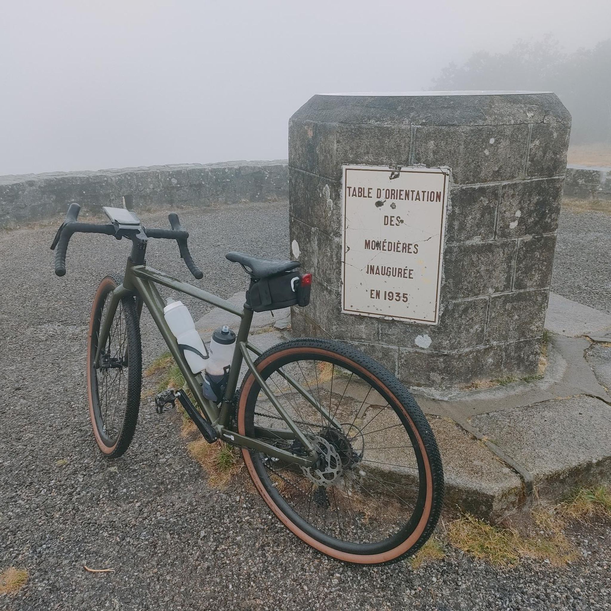
On the route of Col Amic, above the Ferme Auberge Kohlschlag, there is a cozy wooden bench that invites you to take a break. From here, you have a view of the Ferme Auberge Kohlschlag and the mountain Le Sudelkopf. The bench was made as a project by students from the Enstib Épinal wood trade school.
0
0
The Wells of Lautenbach The monks who founded Lautenbach settled in this area because of the abundant water resources. Over the centuries, population growth led to a multitude of wells, both public and private. Many wells, like the Stockbrunnen (a type of well), played an important role in the daily life of the village. The use of solid sandstone testifies to the wealth and prosperity of the village, which had developed into a small industrial town by the end of the 19th century. The wells remained in their original state until the construction of a water supply network. --- The Wells of Lautenbach The monks who founded Lautenbach settled in this area for its water resources. Over the centuries, population growth led to a multiplication of wells, both public and private. The names of the fountains, comme le Stockbrunna, participate in the vie quotidienne of the village. The large size used is signe of the richness and the prosperity of the village qui devient, à la fin du XIXe siècle, a small industrial town. Les fontaines conservent leur état d'origine jusqu'à la creation d'un réseau d'adduction en 1896.
0
0
Das Rathaus befindet sich im ehemaligen Klostergebäude der Stiftskirche Lautenbach. Die Tür des Ostflügels trägt die Jahreszahl 1517. In diesen Gebäuden befinden sich das ehemalige Propsthaus, die Sakristei der Domherren, der Kapitelsaal und eine Gewölbegalerie. Der Nordflügel wurde erst im 19. Jahrhundert errichtet. Im Winkel zwischen den beiden Flügeln stehen noch ein Turm mit seiner Wendeltreppe. Der Gotische Kreuzgang, der durch ein Spitzbogenportal zugänglich ist, weist Rippengewölbe auf. --- The town hall is housed in the former convent building of the Collegiate Church of Lautenbach. The door of the east wing bears the date 1517. These buildings house the former provost's house, the canons' sacristy, the chapter house, and a vaulted gallery. The north wing was built only in the 19th century. In the angle between the two wings, a turret and its spiral staircase still stand. The Gothic cloister, accessible through a pointed arch doorway, features ribbed vaults. To the left, the house, arranged as a central block, was acquired by the municipality in 1978 and then demolished in 1985, making way for a more suitable urban development.
0
0

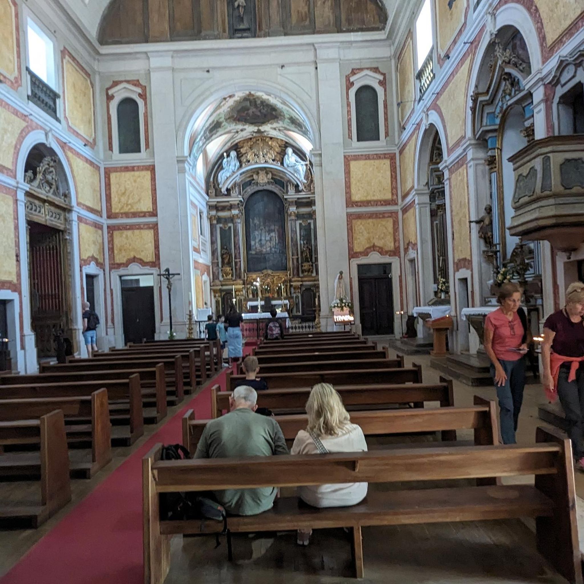
The church cannot be visited at this time as it is closed for renovations.
2
0


A pleasant section to ride, with moderate climbs and little traffic. There were a few racing cyclists on the road.
0
0

For several years now, the reintroduction of storks on the territory of the municipality of Soultz-Haut-Rhin has been a fact: the chimneys are now populated by these birds again. You can watch them for hours.
7
0

A challenge on a mountain bike without a motor. But the downhill trails are great. It's worth it 👍🏻
1
0
Frequently Asked Questions
How many no-traffic road cycling routes are available around Rimbachzell?
There are over 20 dedicated no-traffic road cycling routes around Rimbachzell, offering a variety of experiences. These routes range from moderate to difficult, ensuring options for different fitness levels.
What kind of terrain can I expect on these no-traffic road cycling routes?
The routes around Rimbachzell offer a diverse landscape. You can expect a blend of rolling hills, lush forests, and challenging ascents in the Vosges Mountains foothills. Many routes also traverse the picturesque Alsatian vineyards and provide beautiful views of the Alsatian plain. The presence of wooded areas ensures shaded paths, particularly pleasant during warmer months.
Are there any challenging no-traffic road cycling routes for experienced riders?
Yes, Rimbachzell is situated near the Vosges mountains, offering routes with significant elevation gain. For instance, the Firstplan Pass loop from Guebwiller is a difficult route covering over 92 km with nearly 1900 meters of elevation. Another challenging option is the Pinot Bend loop from Guebwiller, which also features substantial climbing.
Can I find any easy no-traffic road cycling routes suitable for beginners?
While many routes involve some climbing due to the region's topography, there are easier options available. The guide includes 4 routes classified as easy, perfect for those looking for a less strenuous ride. These routes often stick to flatter sections or less steep inclines, allowing beginners to enjoy the scenery without excessive effort.
What are some scenic viewpoints or landmarks I can see along these routes?
The region is rich in natural beauty and historical sites. As you cycle, you might encounter stunning views of the Alsatian plain and vineyards. Notable natural attractions nearby include the Petit Ballon and the Viewpoint at the summit of Vieil Armand. For historical interest, you could explore the Hartmannswillerkopf National Monument or the Ruins of Hohrupf Castle.
Are there any circular no-traffic road cycling routes available?
Yes, many of the no-traffic road cycling routes around Rimbachzell are designed as loops, allowing you to start and end at the same point. Examples include the Bannstein Pass – Well with drinking water loop from Guebwiller and the Col Amic Pass – Ascent to Col Amic loop from Haut-Rhin, providing convenient round trips.
What is the best time of year to enjoy no-traffic road cycling in Rimbachzell?
The spring and autumn months generally offer the most pleasant conditions for road cycling in Rimbachzell, with milder temperatures and beautiful scenery. Summer can also be enjoyable, especially on routes that wind through quiet, wooded areas providing natural shade. It's always advisable to check local weather forecasts before heading out.
What do other road cyclists enjoy most about no-traffic road cycling in Rimbachzell?
The area is highly rated by the komoot community, with an average score of 4.4 stars. Reviewers often praise the region's diverse landscapes, from challenging mountain passes like Col Amic to scenic vineyard routes, and the tranquility of cycling through wooded areas away from traffic.
Are there any specific passes or climbs known for no-traffic road cycling in the area?
Absolutely. The Col Amic is a particularly popular and accessible climb in the Vosges, known for its regularity and natural beauty. It offers a 12.1 km ascent with an average gradient of 4.6% and provides rewarding views of the Alsatian plain. The Firstplan Pass is another notable climb in the vicinity.
Can I find routes that pass by lakes or other natural water features?
Yes, the region around Rimbachzell features several beautiful natural water bodies. Some routes may offer views of or pass near lakes such as Ballon Lake or Lake Lauch, providing serene spots for a break or picturesque scenery.
Are there any routes that explore historical sites or castles?
Yes, the region is dotted with historical landmarks. For example, the Wagenbourg Castle loop from Issenheim offers a ride that can incorporate historical elements. You can also find routes that pass near the Ruins of Freundstein Castle or Château du Hugstein, allowing you to combine cycling with cultural exploration.
Most popular routes around Rimbachzell
Most popular attractions around Rimbachzell

Get inspired with the komoot mobile app


Explore more
Browse the best Road cycling routes in other regions.
