The best walks and hikes around Rimbachzell
4.6
(4842)
26,204
hikers
812
hikes
Hiking around Rimbachzell offers diverse landscapes within the Vosges mountains, characterized by dense forests and varied terrains. The region features prominent peaks like the Grand Ballon and Petit Ballon, providing extensive views. Hikers can explore ridge paths, balconies, and the charming Kaltenbach valley with its moss-covered rocks and small cascade. The area provides a network of trails suitable for various skill levels.
Best hiking trails around Rimbachzell
- The most popular hiking route is Hartmannswillerkopf Discovery Trail, a 7.7 miles…
Last updated: May 12, 2026
4.7
(35)
146
hikers
12.3km
04:19
670m
670m
Moderate hike. Good fitness required. Mostly accessible paths. Sure-footedness required.
4.7
(11)
37
hikers
Easy hike. Great for any fitness level. Easily-accessible paths. Suitable for all skill levels.

Sign up for free
4.8
(5)
44
hikers
Moderate hike. Good fitness required. Easily-accessible paths. Suitable for all skill levels.
4.6
(7)
46
hikers
Moderate hike. Good fitness required. Easily-accessible paths. Suitable for all skill levels.
4.6
(11)
55
hikers
5.47km
01:29
70m
70m
Easy hike. Great for any fitness level. Easily-accessible paths. Suitable for all skill levels.
Get access to more routes and recommendations from other explorers.
Sign up for free
Already have an account?
Our route recommendations are based on thousands of hikes, rides, and runs completed by other people on komoot.
Start today with a free account
Your next adventure awaits.
Login or Signup
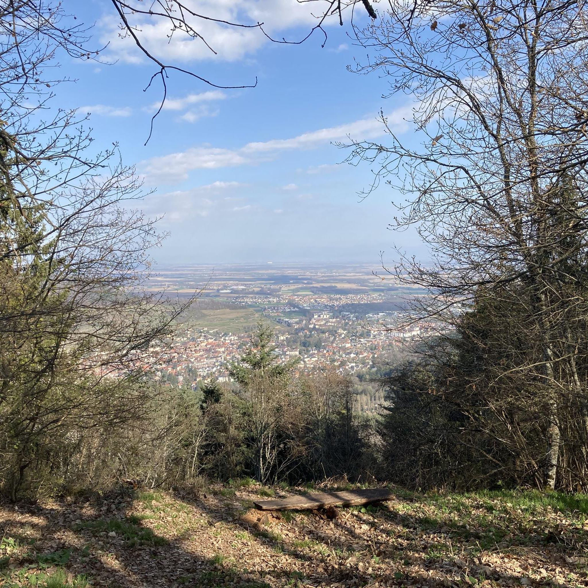
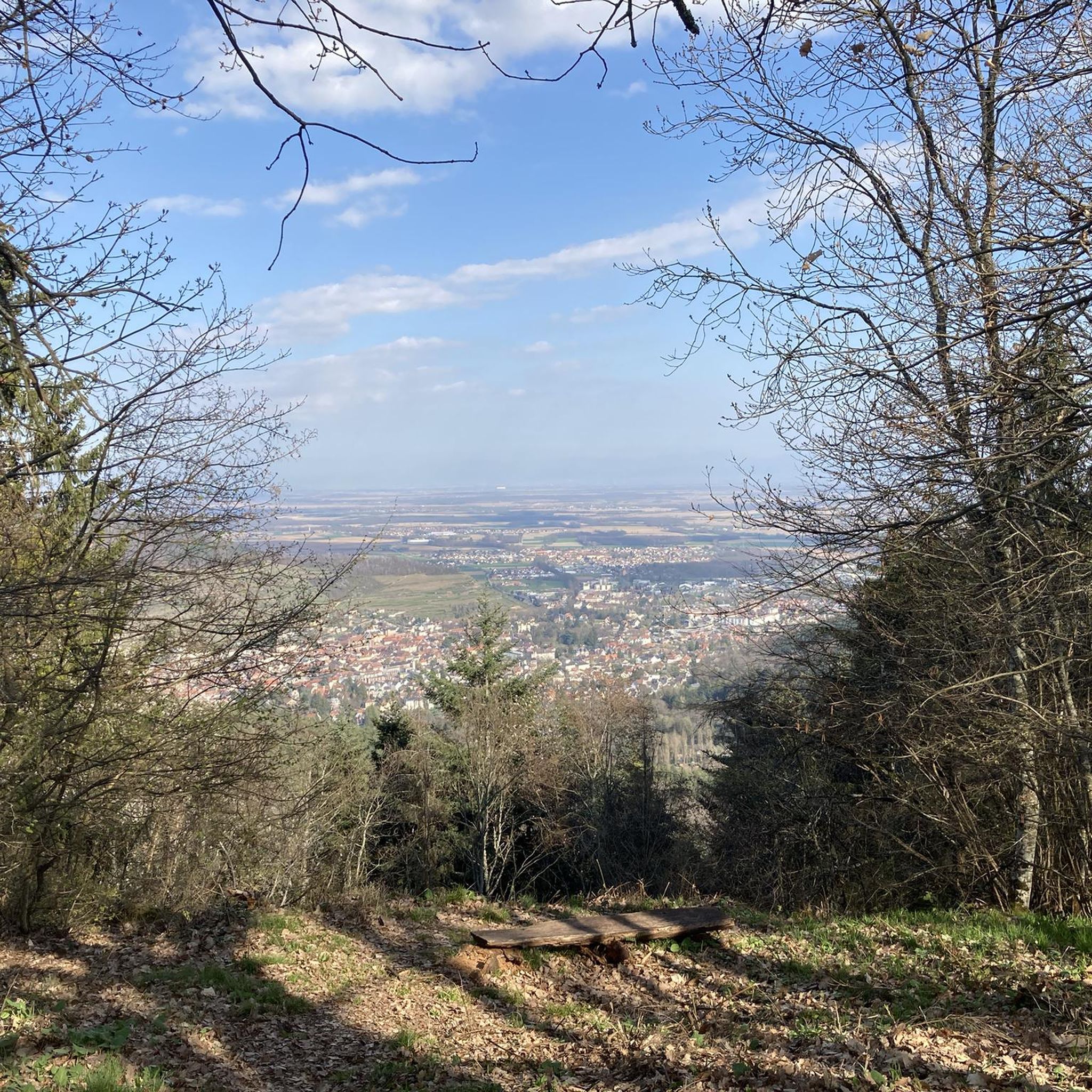
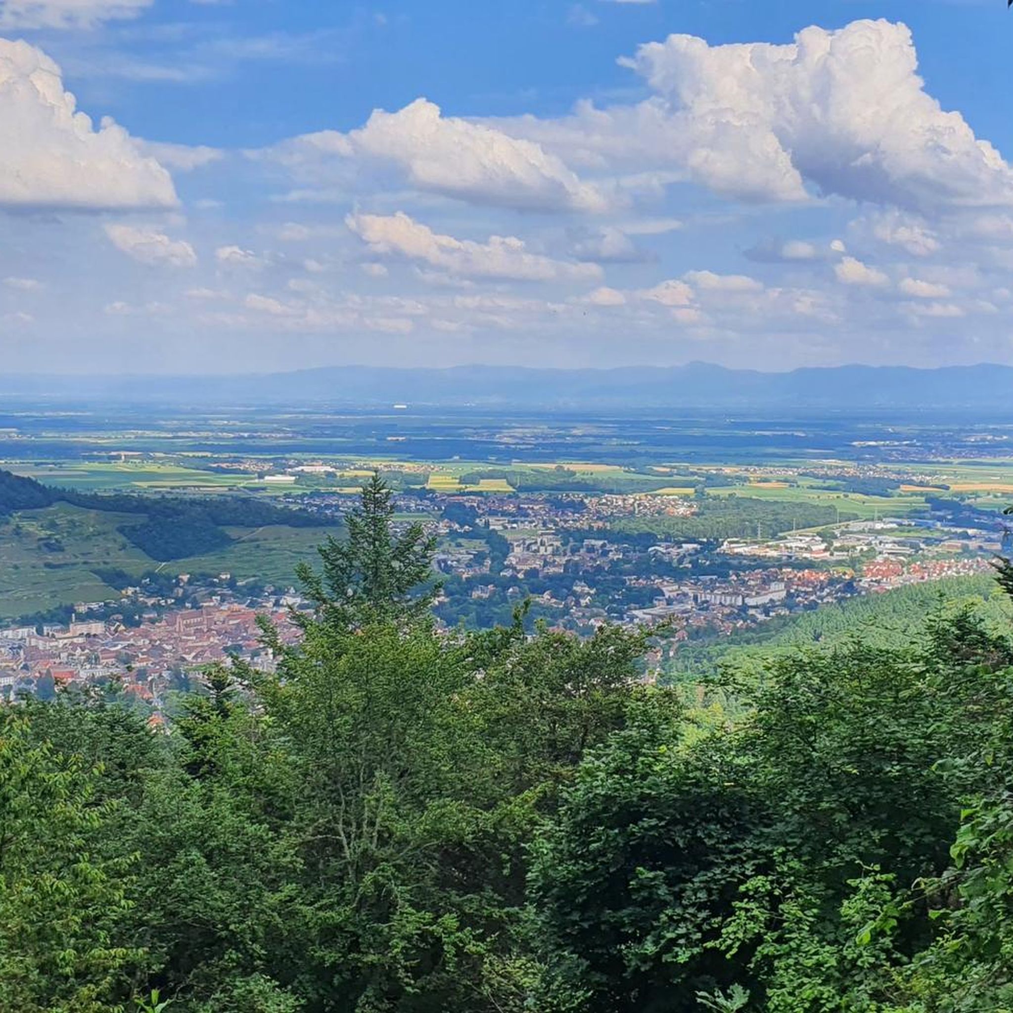
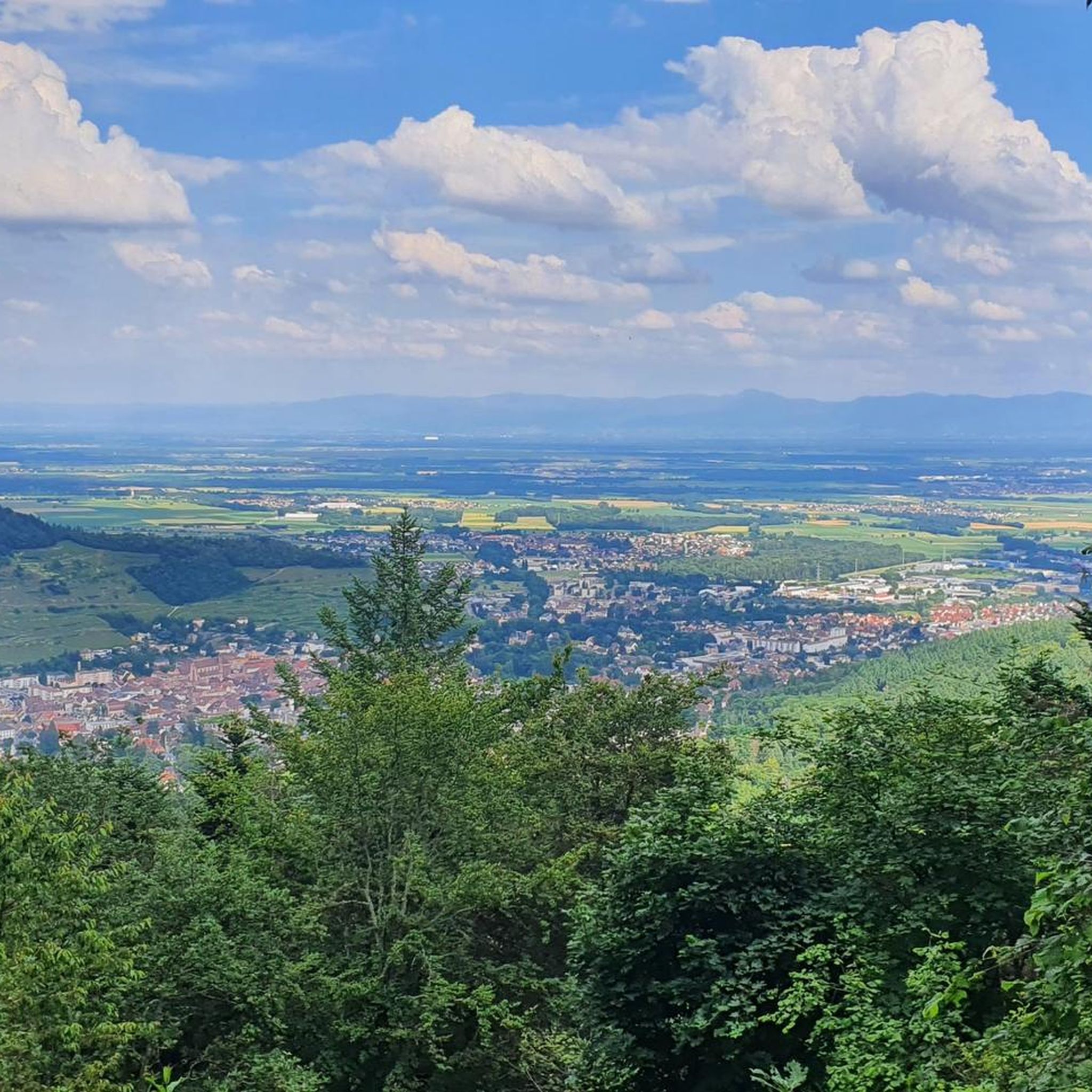
Tips from the Community

Pleasant for a quiet break or to observe the amphibians that abound during the mating season (early March?).
0
0


For several years now, the reintroduction of storks on the territory of the municipality of Soultz-Haut-Rhin has been a fact: the chimneys are now populated by these birds again. You can watch them for hours.
7
0

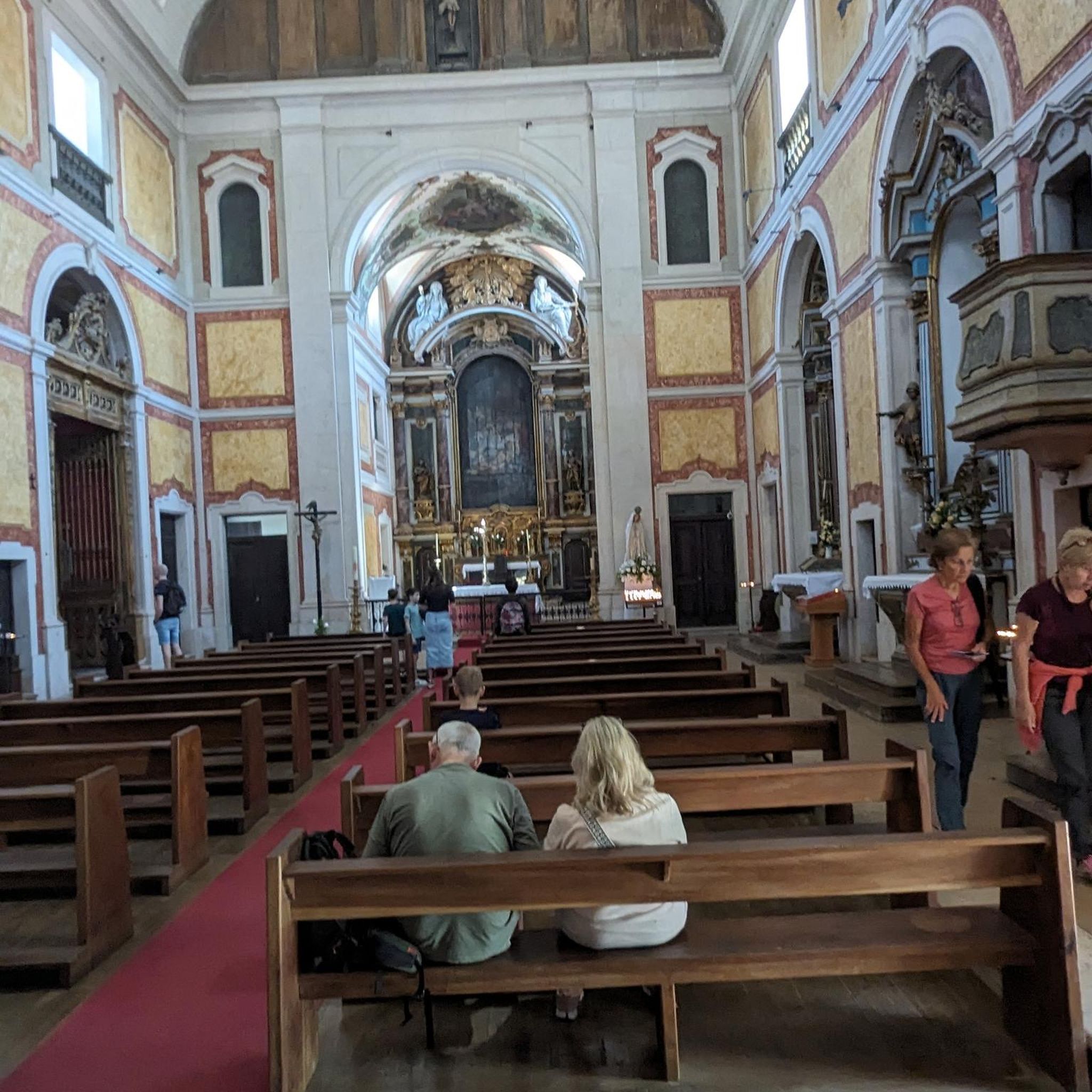
Notre-Dame de Thierenbach Beautiful basilica. It's worth taking a look inside. https://www.alsace.catholique.fr/retraite-et-pelerinages/nd-thierenbach/
1
0

The Abri Munsteraeckerle in the Vosges is a hidden gem for mountain bikers. As you traverse this wooded area, you will encounter rocky paths and root-filled trails that require technical skills and concentration. The Abri Munsteraeckerle offers you a quiet place, ideal for a short break.
1
0

The “Roche Sermet” is a rock formation located on the Hartmannswillerkopf¹ battlefield. It is located at an altitude of approximately **910 meters**². Hartmannswillerkopf, also known as Vieil Armand, is a pyramidal rocky spur in the Vosges massif, overlooking the Alsace plain from its 957 meters¹. During the First World War, it was a strategic summit hotly contested by the French and German armies¹. Today, the Hartmannswillerkopf is a place of memory, bearing witness to the suffering of the soldiers who fought in the name of their country¹. The German remains encountered on the ground, sometimes quite spaced apart from each other, are witnesses to this historical period¹. Source: conversation with Bing, 05/07/2024 (1) HWK: Vestiges of the Past - e-monsite. https://hartmannswillerkopf.e-monsite.com/pages/hwk-vestiges-du-passe.html. (2) Presentation. https://hartmannswillerkopf.e-monsite.com/pages/presentation.html. (3) The Hartmannswillerkopf | Paths of memory. https://www.cheminsdememoire.gouv.fr/en/hartmannswillerkopf. (4) The Hartmannswillerkopf - Official website. https://www.memorial-hwk.eu/.
1
0
The "Veilchenstein" is a German shelter located on the Hartmannswillerkopf¹ battlefield. This shelter, built into a rock, is equipped with a machine gun post and observatories¹. Hartmannswillerkopf, also known as Vieil Armand, is a pyramidal rocky spur in the Vosges massif, overlooking the Alsace plain from its 957 meters¹. During the First World War, it was a strategic summit hotly contested by the French and German armies¹. Today, the Hartmannswillerkopf is a place of memory, bearing witness to the suffering of the soldiers who fought in the name of their country¹. The German remains encountered on the ground, sometimes quite spaced apart from each other, are witnesses to this historical period¹. (1). https://bing.com/search?q=veilchenstein+harmannswillerkopf. (2) The Hartmannswillerkopf - Official website. https://www.memorial-hwk.eu/. (3) Hartmannswillerkopf - Wikipedia. https://fr.wikipedia.org/wiki/Hartmannswillerkopf.
0
0
Frequently Asked Questions
How many hiking trails are available in Rimbachzell?
Rimbachzell and its surrounding area offer a vast network of over 800 hiking routes. These trails cater to all skill levels, from easy strolls to more challenging multi-day excursions, ensuring there's something for everyone.
What kind of terrain can I expect on hikes around Rimbachzell?
Hikes in Rimbachzell are primarily set within the Vosges mountains, featuring diverse landscapes. You'll encounter dense forests, varied terrains, and ridge paths offering panoramic views. Notable features include the high stubble fields ('chaumes') on peaks like the Petit Ballon and the charming, moss-covered Kaltenbach valley.
Are there any family-friendly hiking options in Rimbachzell?
Yes, Rimbachzell offers numerous family-friendly hiking options. With over 280 easy routes, you can find trails suitable for all ages. These often lead through forests or to gentle viewpoints, providing an enjoyable experience for the whole family.
Can I bring my dog on the hiking trails in Rimbachzell?
Most hiking trails in Rimbachzell are dog-friendly, allowing you to explore the beautiful Vosges mountains with your canine companion. However, it's always recommended to keep dogs on a leash, especially in nature reserves or areas with livestock, and to check specific trail regulations beforehand.
What are some notable landmarks or viewpoints I can discover while hiking?
The region is rich in landmarks and viewpoints. You can hike to the Judenhut Pass (976 m), offering stunning vistas, or explore the significant WWI site of Hartmannswillerkopf. Other points of interest include the Murbach Abbey, traces of the Schlossbuckel Castle, and the Zimmermann cross. The Grand Ballon and Petit Ballon also provide extensive panoramic views.
Are there any circular hiking routes in the Rimbachzell area?
Yes, Rimbachzell offers many excellent circular hiking routes. For example, the Judenhut Pass (976 m) – Ebeneck Summit View loop from Rimbach-près-Guebwiller is a moderate 7.5 km path with panoramic views. Another option is the Pichirina Trail – Munsteraeckerle Shelter loop, an easy 5.4 km trail through forested areas.
What is the best time of year to go hiking in Rimbachzell?
The best time to hike in Rimbachzell is generally from spring to autumn (April to October), when the weather is mild and the trails are clear. Spring brings blooming flora, while autumn offers spectacular fall foliage. Some trails may be accessible in winter, but conditions can be challenging due to snow and ice, especially at higher elevations.
Are there places to eat or stay along the hiking trails?
Yes, particularly on trails leading to the Grand Ballon and other popular areas, you can find traditional 'fermes auberges' (farm-inns). These offer opportunities for refreshments, local cuisine, and sometimes even overnight stays, enhancing your hiking experience in the region.
What do other hikers enjoy most about the trails in Rimbachzell?
The hiking trails around Rimbachzell are highly rated by the komoot community, with an average score of 4.6 stars from over 4,700 reviews. Hikers frequently praise the diverse landscapes, the breathtaking panoramic views from peaks like the Grand Ballon, and the well-maintained paths that cater to various difficulty levels.
Are there any historical sites related to World War I accessible by hiking?
Absolutely. The Hartmannswillerkopf Discovery Trail leads to a significant WWI site at over 950 meters altitude. Here, you can explore trenches, memorials like the Sicurani Chapel and Rote-Rain Memorial, and gain remarkable views. Other historical highlights include the Adlerhorst Command Post and Veilchenstein German WW1 Bunker.
Are there any trails that offer views of the Alsace plain or other distant regions?
Yes, several trails provide expansive views. The Grand Ballon, the highest peak of the Vosges, offers breathtaking vistas of the Alsace plain, the Black Forest, and even the Alps on clear days. The Petit Ballon also provides 360-degree panoramic views over the landscape.
Can I find easy trails that are still scenic?
Certainly. Rimbachzell has a good selection of easy trails that don't compromise on scenery. For instance, the Thierenbach pond loop from Jungholtz is an easy 5.4 km route that offers pleasant views and a relaxed hiking experience.
Most popular routes around Rimbachzell
Most popular attractions around Rimbachzell

Get inspired with the komoot mobile app


Explore more
Browse the best Hikes in other regions.
