The best cycling routes around Rimbachzell
4.3
(507)
6,106
riders
266
rides
Touring cycling routes around Rimbachzell are situated within the Vosges Mountains, featuring a diverse topography with elevations ranging from 356 meters to 860 meters. The region is characterized by dense forests, significant peaks like the Grand Ballon, and tranquil valleys. Glacial lakes and vineyards also contribute to the varied landscape, providing a range of cycling experiences. The Rimbach stream flows through the commune, adding to its natural features.
Best touring cycling routes around Rimbachzell
- The most popular touring cycling route…
Last updated: May 17, 2026
4.5
(20)
123
riders
29.8km
01:53
330m
330m
Moderate bike ride. Good fitness required. Mostly paved surfaces. Suitable for all skill levels.
5.0
(2)
120
riders
45.7km
03:21
1,000m
1,000m
Hard bike ride. Very good fitness required. Mostly paved surfaces. Suitable for all skill levels.

Sign up for free
4.8
(16)
277
riders
42.6km
03:03
840m
840m
Hard bike ride. Very good fitness required. Mostly paved surfaces. Suitable for all skill levels.
5.0
(1)
53
riders
35.2km
03:27
790m
790m
Hard bike ride. Very good fitness required. Mostly paved surfaces. Suitable for all skill levels.
5.0
(4)
46
riders
26.8km
01:38
230m
230m
Moderate bike ride. Good fitness required. Mostly paved surfaces. Suitable for all skill levels.
Get access to more routes and recommendations from other explorers.
Sign up for free
Already have an account?
Our route recommendations are based on thousands of hikes, rides, and runs completed by other people on komoot.
Start today with a free account
Your next adventure awaits.
Login or Signup
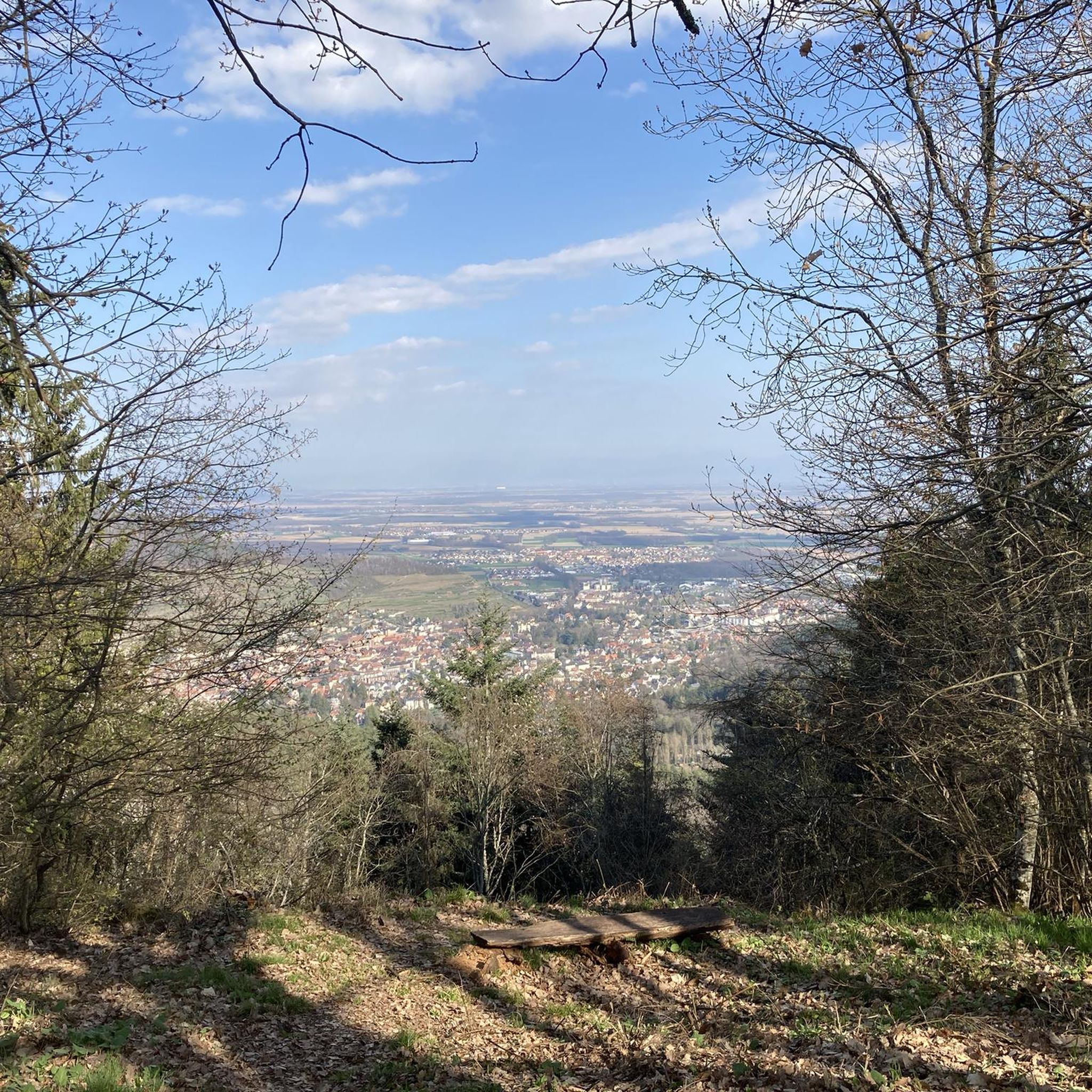
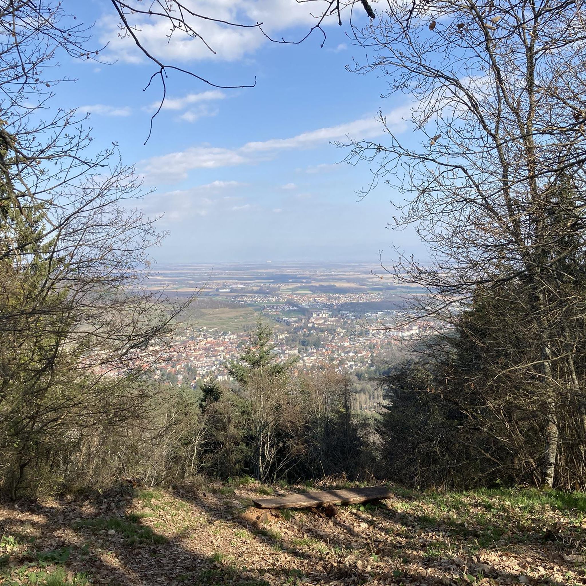
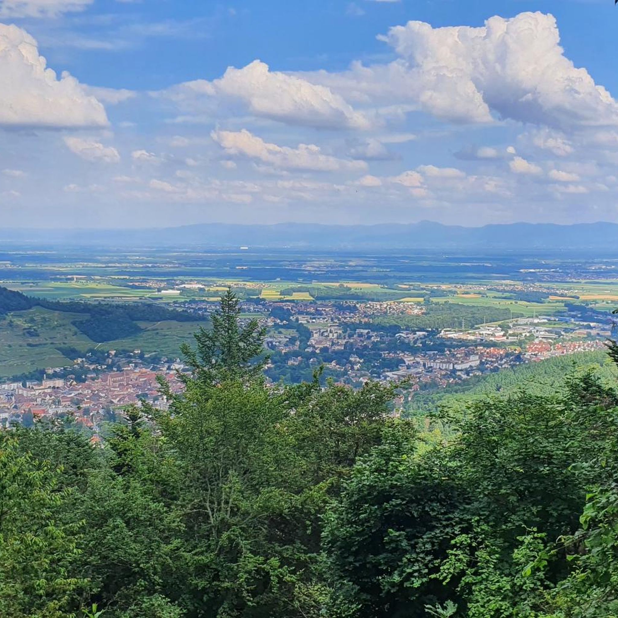
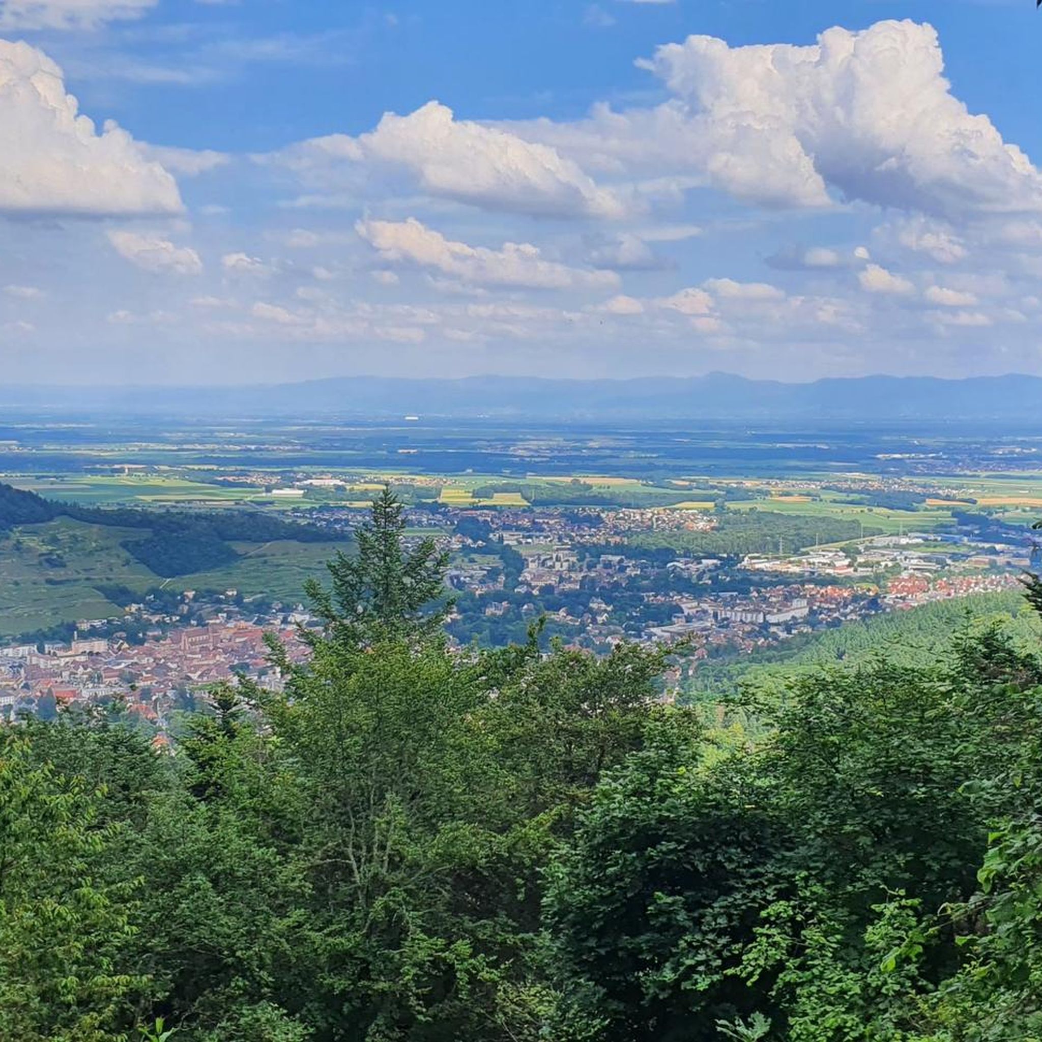
Tips from the Community

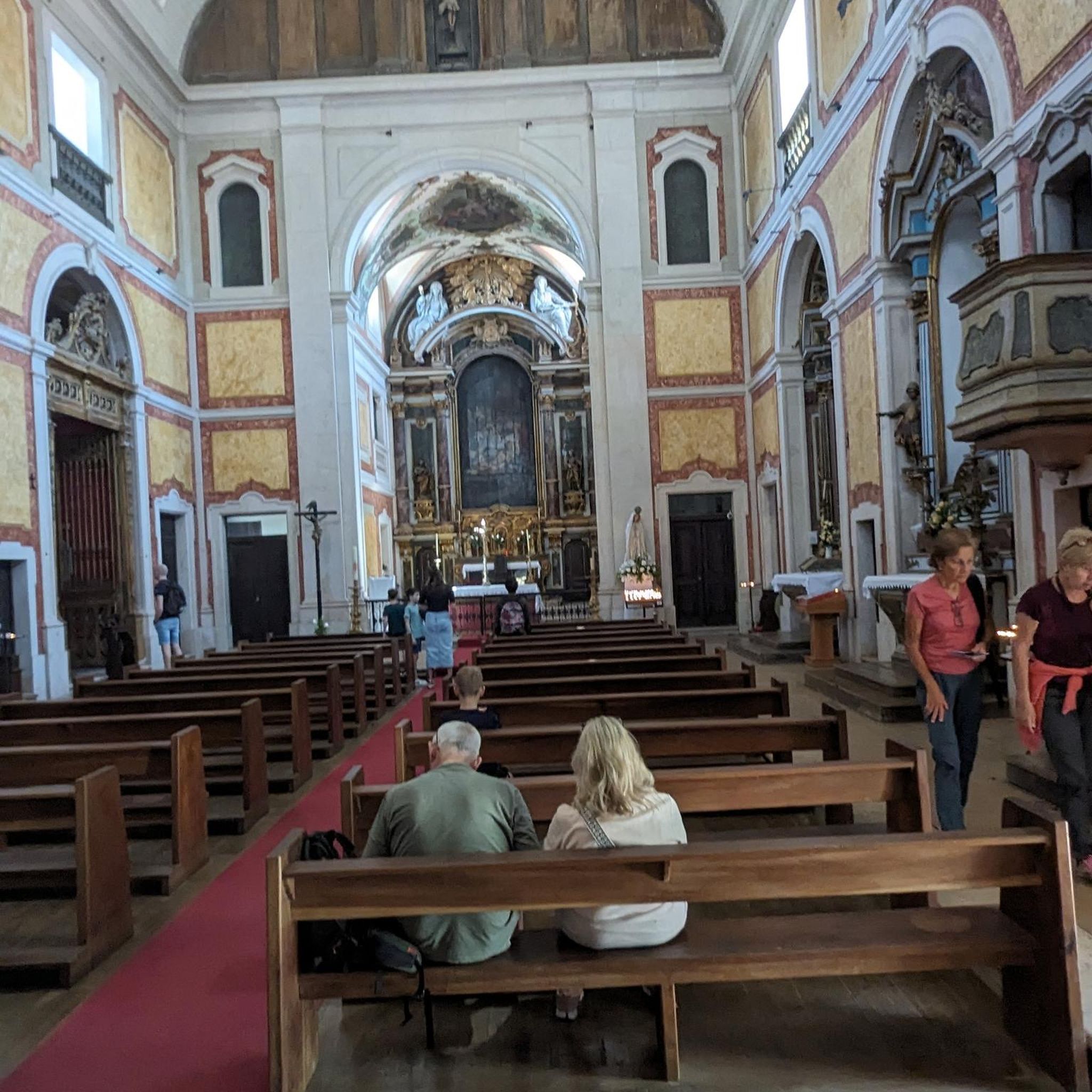
The church cannot be visited at this time as it is closed for renovations.
2
0

The Wine Route mostly follows the EV5. A beautiful route and easy to navigate.
7
0

A pleasant section to ride, with moderate climbs and little traffic. There were a few racing cyclists on the road.
0
0

The artificially created, yet idyllically situated "Lac de la Lauch" lake is featured in the komoot system not only for joggers, but also as a highlight for various sports, including hikers, with many more photos uploaded there. If you're interested, see =>>https://www.komoot.com/de-de/highlight/308200
0
0

always through the vineyards with a great panorama
0
0

The Col de Herrenfluh is located at an altitude of 837 metres in the Vosges, between Uffholtz and Wattwiller. The summit is located along the Route des Crêtes and offers magnificent views over the Rhine Valley and the surrounding forests. Nearby are the ruins of the Château du Herrenfluh, which was once an observation post during the First World War (but difficult to reach for a cyclist).
6
0
This modest village owes its name to the small saltwater spring around which it developed. It still has beautiful Renaissance buildings but also from the 17th and 18th centuries, the dates of construction of which are chiselled on the portals. In recent years, the reintroduction of storks to the territory of the municipality has been a fact: the chimneys are now populated by these birds again.
6
1

No, swimming or bathing is not permitted in Lac de la Lauch. Located in the Vallée de la Lauch, Lac de la Lauch is a reservoir fed by the Lauchbach stream, which flows in and out. It serves as a source of drinking water. The valley, with its meltwater streams running along the mountain slopes, is relatively rich in water and features shady forests.
0
0
Frequently Asked Questions
How many touring cycling routes are available around Rimbachzell?
There are over 270 touring cycling routes around Rimbachzell, offering a wide range of experiences. These include 88 easy routes, 79 moderate routes, and 112 difficult routes, catering to various skill levels.
What kind of terrain can I expect on touring cycling routes near Rimbachzell?
The terrain around Rimbachzell is diverse, characterized by the scenic Vosges Mountains. You can expect routes featuring dense forests, high pastures, and elevated 'balconies' offering expansive vistas. Significant climbs towards peaks like the Grand Ballon and Petit Ballon are common, alongside tranquil valleys and picturesque Alsatian vineyards.
Are there any circular touring cycling routes in the area?
Yes, many routes are designed as loops. For example, the Col du Bannstein – Panoramic view from the vineyards loop from Soultz-Haut-Rhin is a popular moderate option offering great views. Another challenging loop is the Col Amic Pass – Grand Ballon loop from Haut-Rhin, which features significant elevation gain.
What do other cyclists say about touring in Rimbachzell?
The touring cycling routes around Rimbachzell are highly rated by the komoot community, with an average score of 4.4 stars from over 600 reviews. More than 7,000 touring cyclists have used komoot to explore the varied terrain, often praising the stunning mountain vistas and diverse landscapes.
Are there any routes that pass by lakes or offer water views?
Yes, the region features beautiful lakes. The Markstein – Lake Lauch loop from Guebwiller is a difficult route that takes you past Lake Lauch. You can also find the serene Ballon Lake (Lac du Ballon), nestled in a glacial cirque, which is a picturesque spot to include in your ride.
Can I find any waterfalls along the cycling routes?
While not directly on a featured route, the beautiful Cascade de l'Erzenbach is hidden within the forest near Silberthal and can be a rewarding detour or a point of interest to explore during your cycling tour.
Are there historical sites or cultural attractions accessible by bike?
Absolutely. The region is rich in history and culture. You can cycle to nearby historical sites such as the Adlerhorst Command Post – World War I or the Schletzenbourg medieval mine. The Murbach Abbey is also just 3 km from Rimbachzell, offering a glimpse into the region's past.
What are some notable viewpoints or landmarks I can visit?
The region boasts numerous breathtaking viewpoints. The Grand Ballon, the highest peak in the Vosges, offers panoramic views. The Petit Ballon also provides 360-degree views stretching across the Alsace plain to the Black Forest. The View of the Grand Ballon highlight is a popular spot, and the Col Amic pass is another scenic point for cyclists.
What is the best time of year for touring cycling in Rimbachzell?
The best time for touring cycling in Rimbachzell is generally from spring to autumn. During these seasons, the weather is more favorable, and the landscapes are vibrant. Summer offers warmer temperatures, while spring and autumn provide cooler rides and beautiful foliage, especially through the vineyards and forests.
Are there any routes suitable for beginners or those looking for an easier ride?
Yes, there are 88 easy touring cycling routes around Rimbachzell. While specific beginner routes are not highlighted here, these easier options typically feature less elevation gain and shorter distances, making them ideal for a more relaxed cycling experience through the valleys and charming villages.
Can I find routes that pass through charming towns or villages?
Many routes in the Rimbachzell area connect to or pass by charming Alsatian towns and villages. Guebwiller is just 3 km away, and other historically rich towns like Eguisheim, Riquewihr, Colmar, and Kaysersberg are within cycling distance, offering picturesque stops and cultural experiences.
Are there any routes that explore the Alsatian vineyards?
Yes, the broader Alsace region is renowned for its vineyards, and many routes offer picturesque cycling through these wine-growing landscapes. The Beautiful blue metal bridge – View of the Rodolphe mine loop from Guebwiller, for instance, leads through varied terrain that often includes vineyard views near Guebwiller.
Most popular routes around Rimbachzell
Most popular attractions around Rimbachzell

Get inspired with the komoot mobile app


Explore more
Browse the best Cycling routes in other regions.
