The best mountain hikes around Rimbachzell
4.3
(6)
24
hikers
5
hikes
Mountaineering routes around Rimbachzell are situated within the Haut-Rhin department, offering access to the challenging terrain of the Vosges mountains. The region is characterized by significant peaks like Grand Ballon and Petit Ballon, dense forests, and high-altitude grasslands. Narrow valleys and rugged mountain scenery provide varied conditions for mountaineering activities.
Best mountaineering routes around Rimbachzell
- The most popular mountaineering route is Grand Ballon – Panoramic view from the Grand Ballon summit loop from Grand Ballon, a 2.2 miles (3.5 km) trail that takes 1 hour 25 minutes to complete. This route offers panoramic views from the highest peak in the Vosges mountains.
- Another top favourite among local mountaineers is Petit Ballon – Col du Hilsenfirst loop from Linthal, a difficult 9.0 miles (14.5 km) path. This trail ascends to Petit Ballon, providing expansive 360-degree views across high-altitude grasslands.
- Local mountaineers also love the Hundsruck Pass – Vogelstein (Bird Rock) loop from Willer-sur-Thur, a 16.6 miles (26.8 km) trail leading through varied mountain terrain, often completed in about 8 hours 44 minutes.
- Mountaineering around Rimbachzell is defined by high peaks, extensive forests, and open mountain pastures. The network offers options for moderate to difficult routes, catering to various ability levels.
- The routes in Rimbachzell are highly rated by the komoot community with an average score of 4.3 stars from over 4 reviews. More than 20 mountaineers have used komoot to explore Rimbachzell's varied terrain.
Last updated: June 25, 2026
5.0
(2)
7
hikers
Moderate mountaineering route. Great for any fitness level. Mostly accessible paths. Sure-footedness required.
3
hikers
13.9km
04:10
430m
430m
Moderate mountaineering route. Good fitness required. Easily-accessible paths. Suitable for all skill levels.

Sign up for free
3.0
(1)
4
hikers
14.7km
05:11
790m
790m
Hard mountaineering route. Very good fitness required. Mostly accessible paths. Sure-footedness required.
5.0
(3)
6
hikers
Moderate mountaineering route. Great for any fitness level. Mostly accessible paths. Sure-footedness required.
4
hikers
26.8km
08:45
1,200m
1,200m
Hard mountaineering route. Very good fitness required. Easily-accessible paths. Suitable for all skill levels.
Our route recommendations are based on thousands of hikes, rides, and runs completed by other people on komoot.
Start today with a free account
Your next adventure awaits.
Login or Signup
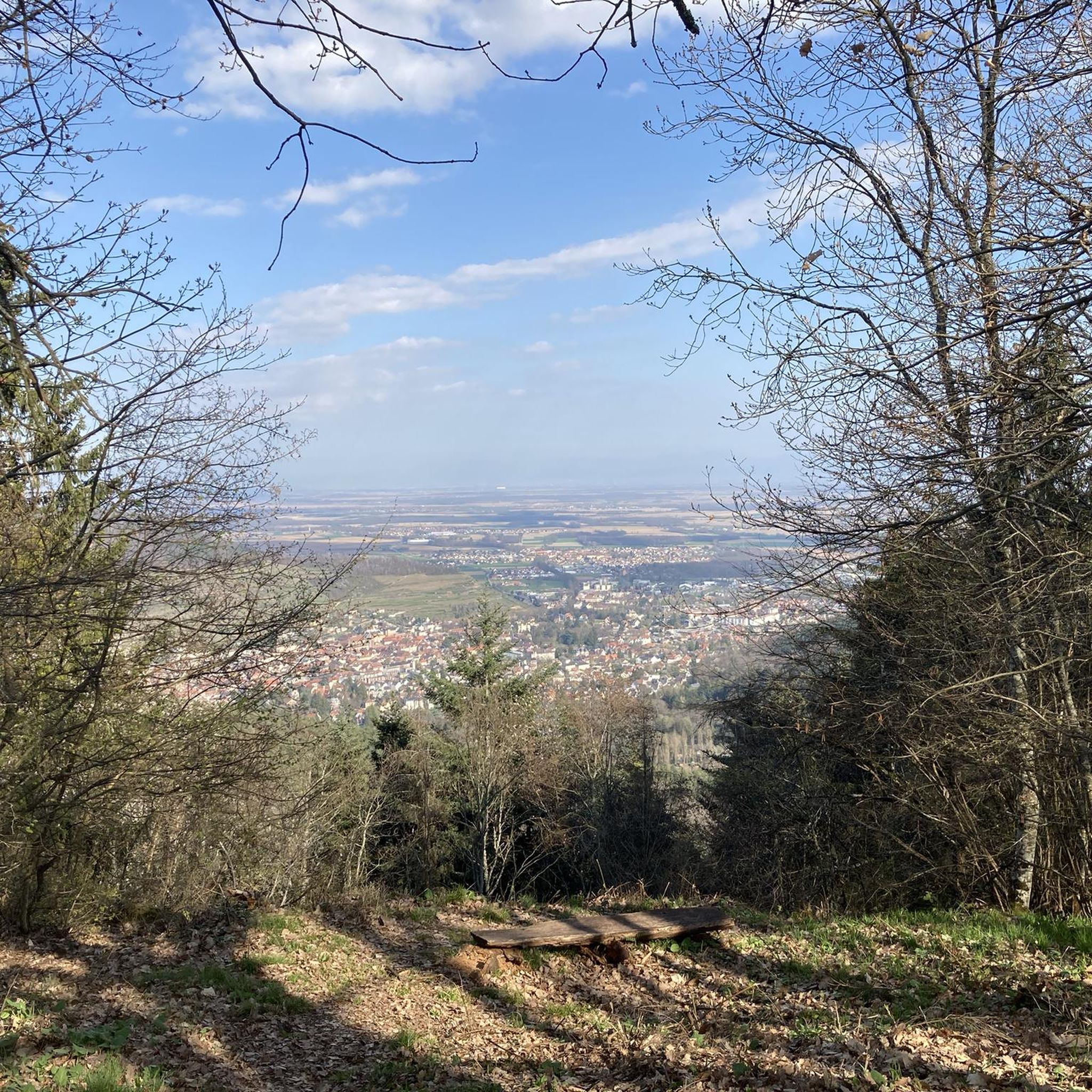
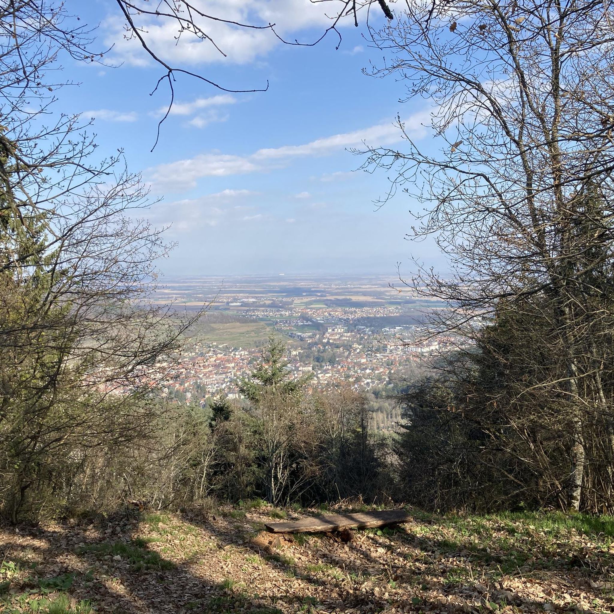
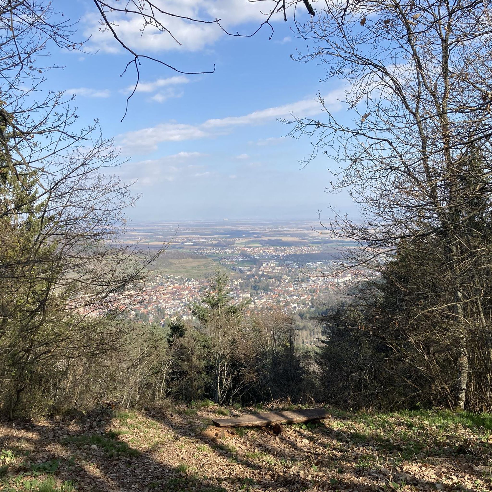
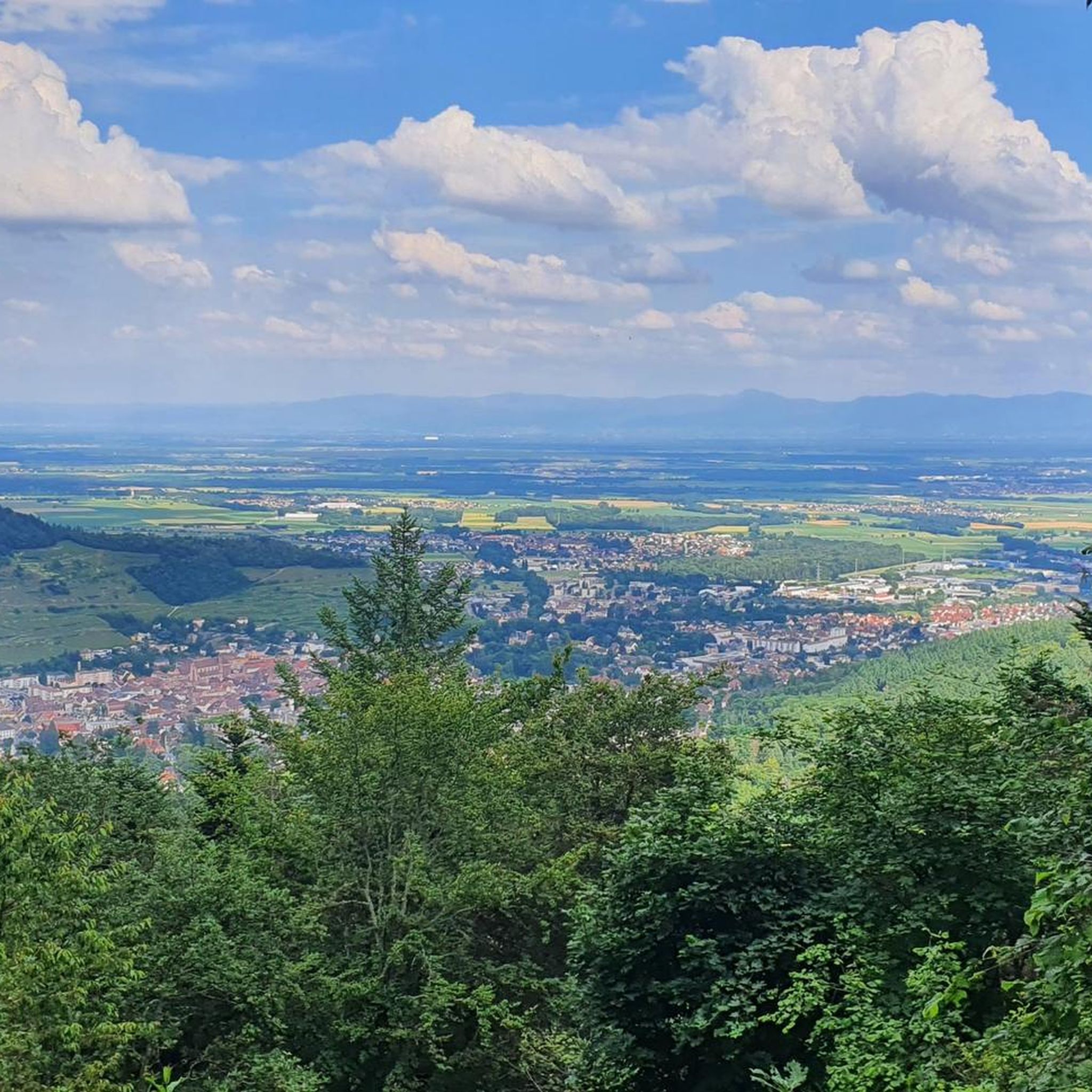
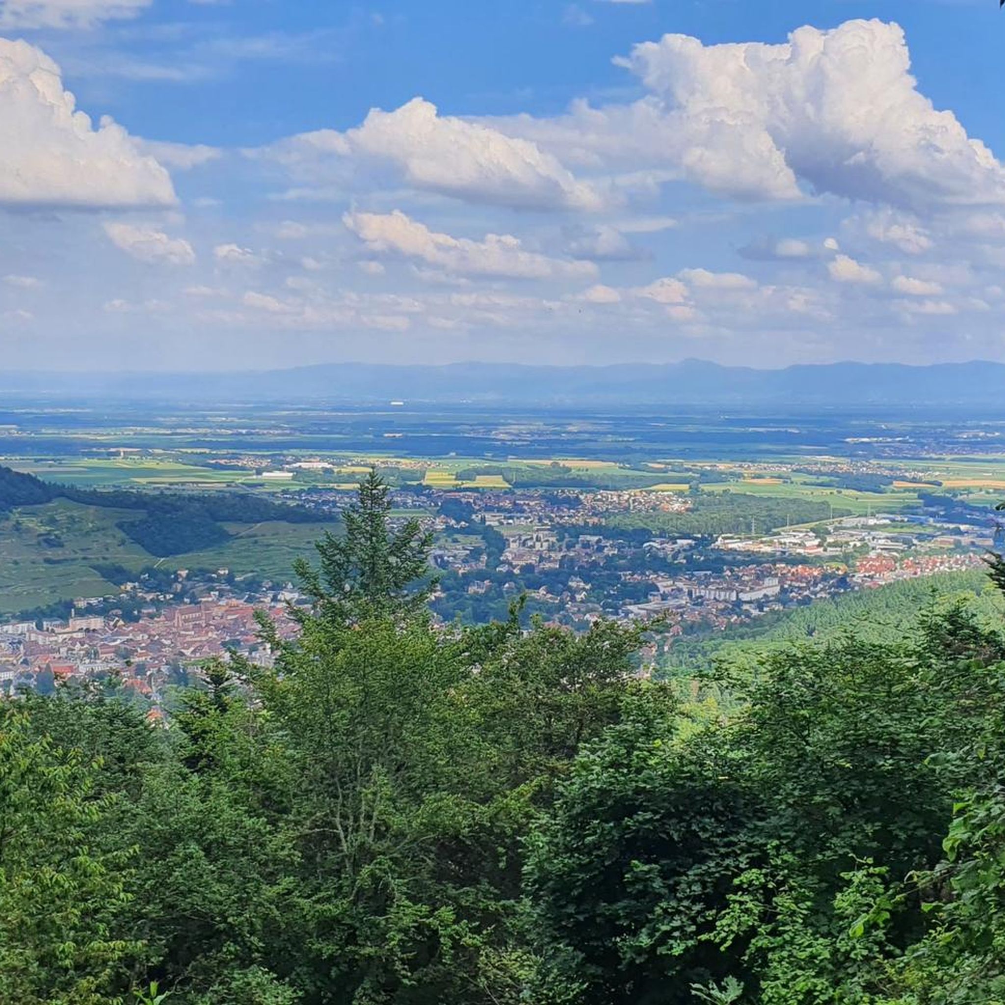

Tips from the Community

The refuge volunteers are very warm. It is possible to eat your packed lunch provided you consume the drinks on sale. Their price is low. In addition, the view is magnificent.
0
0

Between December 1st and June 30th, the section of the GR532 connecting the Oberlauchen pass to the Lauchen pass via the Klintzkopf is prohibited. This is indeed an area where very fragile fauna, such as the capercaillie, has established itself. Controls are regularly carried out and the fine is steep. Therefore, prefer the forest road that also leads to the Lauchen pass!
1
0

Beautiful hike and beautiful viewpoint
0
0

The Vosges nature reserve remains beautiful.
0
0

very beautiful view, you can sometimes see the Alps.
0
0


The artificially created, yet idyllically situated "Lac de la Lauch" lake is featured in the komoot system not only for joggers, but also as a highlight for various sports, including hikers, with many more photos uploaded there. If you're interested, see =>>https://www.komoot.com/de-de/highlight/308200
0
0

Ferme Auberge Gsang: great view, good food
0
0
Frequently Asked Questions
How many mountaineering routes are available around Rimbachzell?
There are 5 mountaineering routes available around Rimbachzell, offering a range of experiences from moderate to difficult. These routes allow you to explore the challenging terrain of the Vosges mountains.
What are the typical difficulty levels for mountaineering routes in this area?
The mountaineering routes around Rimbachzell primarily feature moderate and difficult grades. You'll find 3 moderate routes and 2 difficult routes, catering to various skill levels and offering significant physical challenges.
Are there any circular mountaineering routes near Rimbachzell?
Yes, all the listed mountaineering routes around Rimbachzell are circular. For example, you can explore the Grand Ballon – Panoramic view from the Grand Ballon summit loop from Grand Ballon or the more challenging Petit Ballon – Col du Hilsenfirst loop from Linthal.
What kind of views or landmarks can I expect on these routes?
The routes offer stunning panoramic views from peaks like Grand Ballon and Petit Ballon, often extending to the Alsace plain, Black Forest, and even the Alps on clear days. You can also encounter glacial cirques like that of Ballon Lake, and unique high-altitude grasslands. The region also features natural elements like the moss-covered trees and rocks of the Kaltenbach valley, which includes a small waterfall.
Are there any lakes accessible via mountaineering routes?
Yes, some routes will take you near beautiful mountain lakes. For instance, the Markstein – Lake Lauch loop from Le Markstein will lead you to Lake Lauch. The area around Grand Ballon also features glacial cirques like that of Ballon Lake.
Where can I find accommodation or refreshments along the trails?
Throughout the hiking routes, particularly on longer treks around the Grand Ballon, you can find traditional farm-inns (Fermes-Auberges) offering local cuisine and accommodation. Specific facilities include the Grand Ballon Chalet Hotel and Haag Farm.
What is the best time of year for mountaineering in Rimbachzell?
The best time for mountaineering in Rimbachzell is typically from late spring through early autumn (May to October) when the weather is most stable and trails are clear of snow. During these months, you can fully enjoy the panoramic views and diverse terrain. Winter offers opportunities for winter sports, but conditions can be challenging for mountaineering.
Is winter mountaineering possible in the Rimbachzell area?
While the Grand Ballon serves as a winter sports station, offering skiing, winter mountaineering in Rimbachzell requires specific equipment and experience due to snow and ice conditions. It's advisable to check local weather and trail conditions carefully before attempting routes in winter.
Are there options for parking at the trailheads?
Yes, many popular trailheads in the Rimbachzell area, especially those leading to major peaks like Grand Ballon and Petit Ballon, offer designated parking facilities. It's always recommended to arrive early during peak season to secure a spot.
Are there any historical sites to explore while mountaineering?
Yes, many trails in the region incorporate historical elements. You can encounter ruins of castles, such as the traces of Schlossbuckel Castle, and sites related to WWI, including the Hartmannswillerkopf battlefield and old bunkers, adding a cultural dimension to your outdoor experience.
What do other mountaineers say about the routes in Rimbachzell?
The mountaineering routes in Rimbachzell are highly rated by the komoot community, with an average score of 4.3 stars from over 4 reviews. More than 20 mountaineers have used komoot to explore the varied terrain, often praising the challenging ascents and breathtaking panoramic views from the high peaks.
Can I bring my dog on the mountaineering trails?
Many trails in the Vosges mountains are dog-friendly, but it's always best to check specific route regulations. Ensure your dog is well-behaved, kept on a leash where required, and that you carry enough water for both of you, especially on longer, more exposed routes.
Are there any family-friendly mountaineering options?
While many routes are challenging, some sections or shorter loops around areas like the Grand Ballon can be adapted for families with older children who are accustomed to hiking. For example, the Grand Ballon – Panoramic view from the Grand Ballon summit loop from Grand Ballon is a moderate 3.5 km trail that might be suitable for active families.
Most popular routes around Rimbachzell
Most popular attractions around Rimbachzell

Get inspired with the komoot mobile app


Explore more
Browse the best Mountain Hikes & Routes in other regions.
