The best running trails around Rimbachzell
4.4
(125)
6,374
runners
403
runs
Jogging routes around Rimbachzell offer access to the diverse landscapes of the Haut-Rhin department in France. The region features varied terrain, from valley paths in the Florival valley to ascents within the Vosges mountains. These running trails provide a mix of gentle routes and more demanding paths leading to higher elevations, characterized by lush green valleys and slopes.
Best jogging routes around Rimbachzell
- The most popular jogging route is Grand Ballon – Grand Ballon loop from Jungholtz, a 14.9…
Last updated: May 16, 2026
4.0
(1)
141
runners
21.9km
02:58
860m
860m
Hard run. Very good fitness required. Sure-footedness, sturdy shoes and alpine experience required.
5.0
(1)
40
runners
24.0km
03:23
1,110m
1,120m
Hard run. Very good fitness required. Sure-footedness, sturdy shoes and alpine experience required.

Sign up for free
42
runners
18.6km
02:27
770m
770m
Hard run. Very good fitness required. Mostly paved surfaces. Suitable for all skill levels.
5.0
(1)
29
runners
11.2km
01:21
340m
340m
Hard run. Very good fitness required. Mostly paved surfaces. Suitable for all skill levels.
3.0
(2)
21
runners
10.2km
01:22
480m
480m
Hard run. Very good fitness required. Mostly paved surfaces. Suitable for all skill levels.
Get access to more routes and recommendations from other explorers.
Sign up for free
Already have an account?
Our route recommendations are based on thousands of hikes, rides, and runs completed by other people on komoot.
Start today with a free account
Your next adventure awaits.
Login or Signup
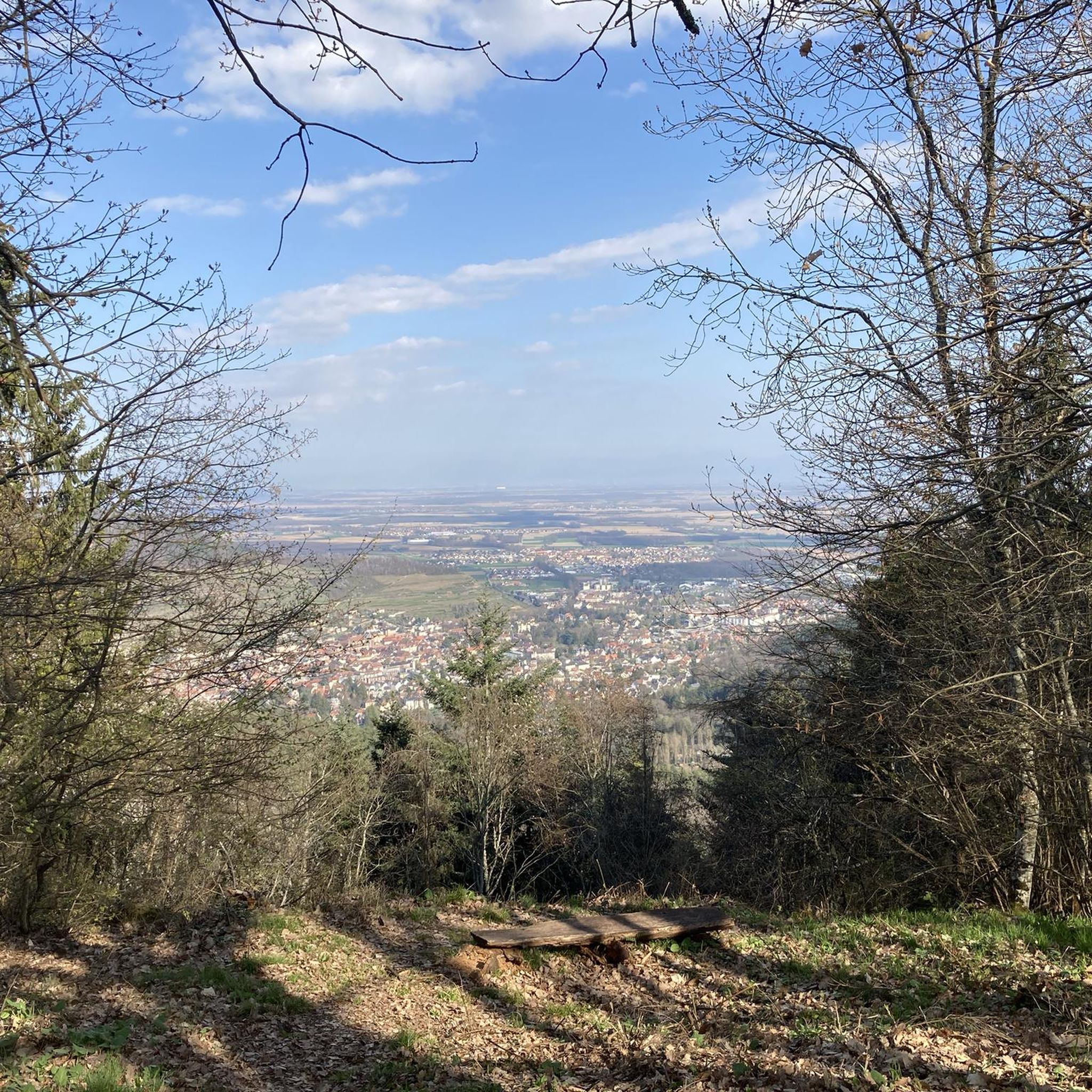
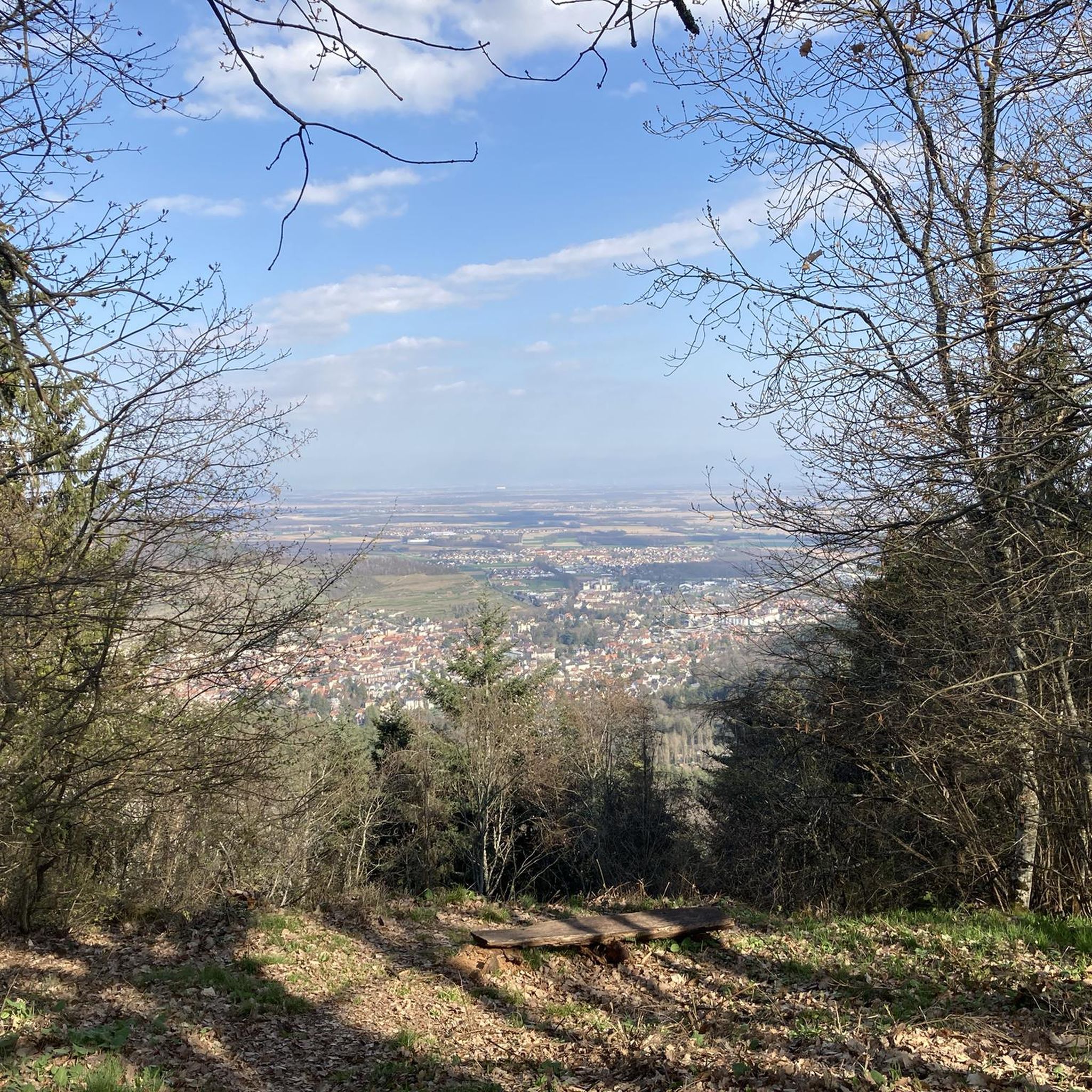
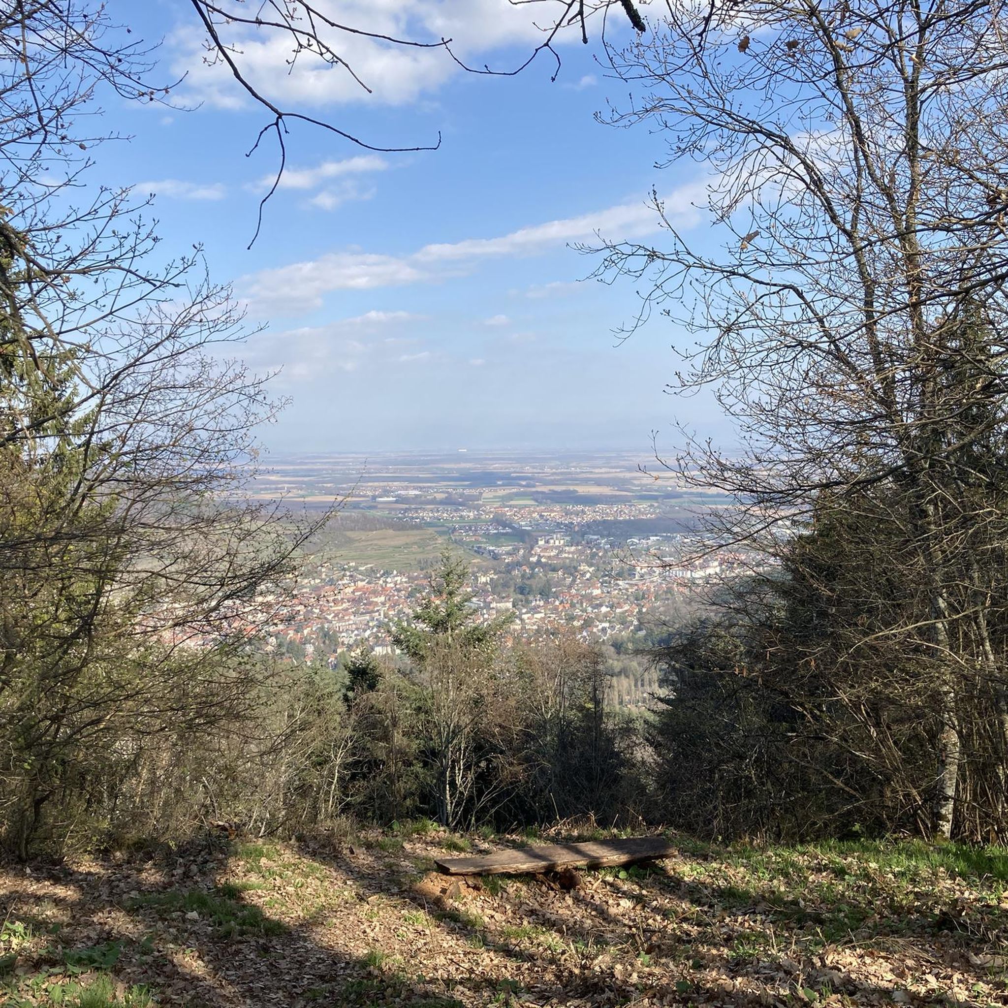
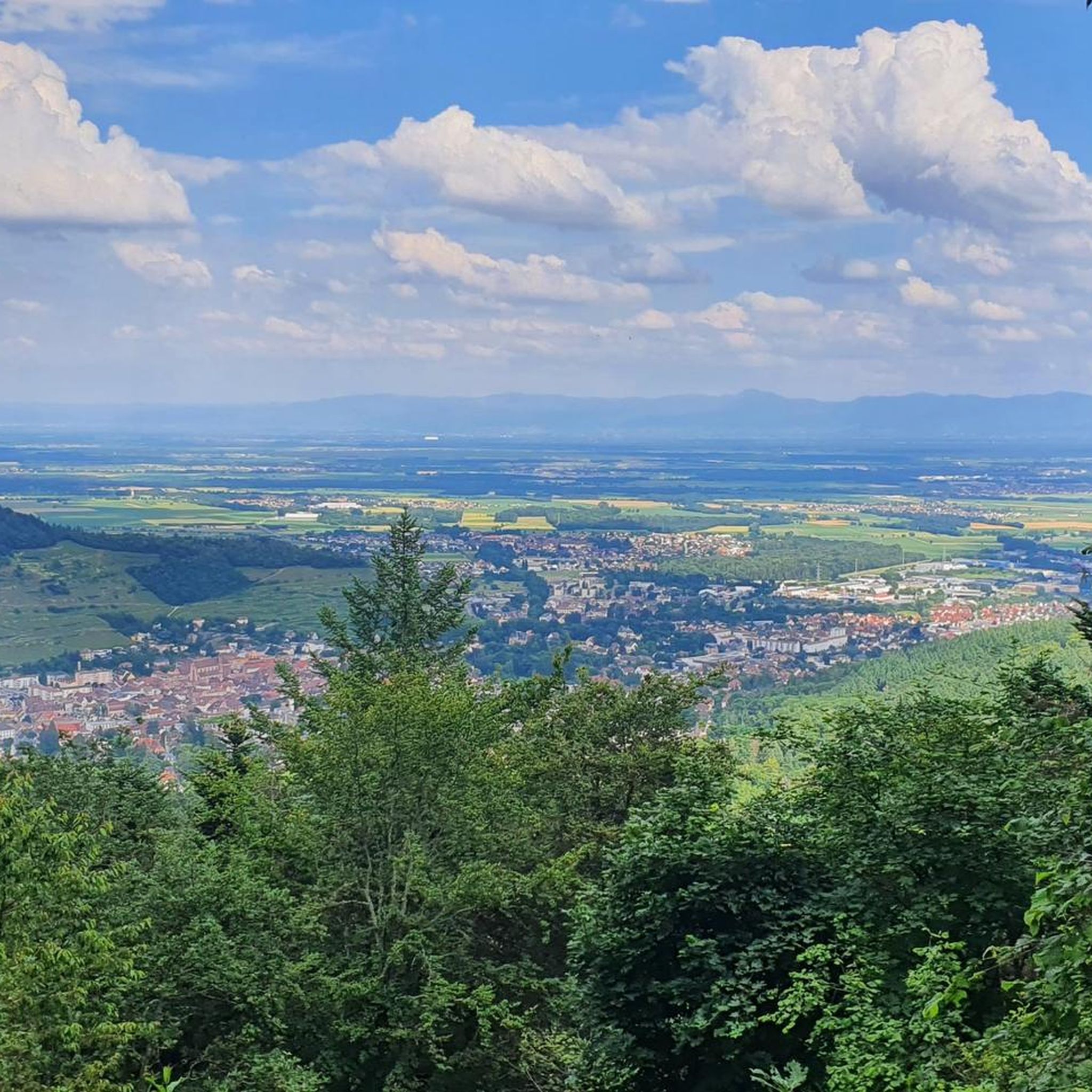
Tips from the Community


Be careful in the rain, there is no wood available and the fireplace doesn't draw well. I advise you, if you sleep there, to take a good sleeping bag. You might also get a visit from little squirrels if you leave your food open!
0
0


The climb of the Col Amic from Soultz-Haut-Rhin is a beautiful and accessible climb in the Vosges, ideal for cyclists who love regularity and nature. The climb is 12.1 km long, bridges 559 meters of altitude and has an average gradient of 4.6%. The route winds through a quiet, wooded area and offers beautiful views of the Alsatian plain along the way. The summit is at 829 meters and forms a junction towards the Grand Ballon or the Hartmannswillerkopf massif. Thanks to its even profile, this climb is suitable for both recreational cyclists and athletic climbers.
6
0

It's an ideal starting point for hikes to the Grand Ballon, the Storkenkopf, and many more. Here you can enjoy a hearty meal before or after a hike.
2
0

The Abri Munsteraeckerle in the Vosges is a hidden gem for mountain bikers. As you traverse this wooded area, you will encounter rocky paths and root-filled trails that require technical skills and concentration. The Abri Munsteraeckerle offers you a quiet place, ideal for a short break.
1
0

rather inconspicuous col that is easily missed.
2
0
Belongs on every bucket list. In good weather with extraordinary visibility.
3
0
Frequently Asked Questions
How many running routes are available around Rimbachzell?
There are over 370 running routes around Rimbachzell, offering a wide variety of options for all skill levels. You'll find everything from gentle valley paths to challenging mountain ascents.
What kind of terrain can I expect on the jogging trails in Rimbachzell?
The jogging trails in Rimbachzell offer diverse terrain, ranging from serene valley paths in the Florival valley to more demanding ascents within the majestic Vosges mountains. You can expect a mix of lush green valleys, forested sections, and higher elevations with panoramic views.
Are there easy running routes suitable for beginners or families in Rimbachzell?
Yes, Rimbachzell offers several easy running routes perfect for beginners or families. While many trails are moderate to difficult, there are 19 routes classified as easy, providing a gentler introduction to the region's beautiful landscapes.
What do other runners enjoy most about the trails in Rimbachzell?
The running trails in Rimbachzell are highly rated by the komoot community, with an average score of 4.4 stars from over 100 reviews. Runners often praise the diverse terrain, the stunning views of the Vosges Mountains and Florival Valley, and the well-maintained paths that cater to various fitness levels.
Are there any running routes that offer great viewpoints or lead to notable landmarks?
Absolutely! Many running routes in the Rimbachzell area provide spectacular viewpoints. For instance, trails around the Grand Ballon, the highest point in the Vosges, offer breathtaking 360-degree panoramic views. The Petit Ballon also provides expansive vistas. You might also encounter highlights like the Ballon Lake or the Haag Pass along various trails.
Can I find circular running routes in Rimbachzell?
Yes, many of the running routes around Rimbachzell are circular, allowing you to start and finish at the same point. An example is the challenging Grand Ballon – Grand Ballon loop from Jungholtz, which offers a significant mountain running experience.
Are there dog-friendly running trails in the Rimbachzell region?
The Rimbachzell region, with its extensive network of forest trails and natural landscapes, generally welcomes dogs on its running paths. However, it's always recommended to keep your dog on a leash, especially in nature reserves or areas with livestock, and to check local signage for any specific regulations.
What is the best time of year to go jogging in Rimbachzell?
The best time of year for jogging in Rimbachzell is typically from spring through autumn (April to October) when the weather is mild and the landscapes are lush. Summer offers warm conditions, while spring and autumn provide cooler temperatures and vibrant foliage. Winter running is possible but may require appropriate gear for snow and ice, especially at higher elevations.
Are there any challenging running routes for experienced trail runners?
Rimbachzell is an excellent destination for experienced trail runners seeking a challenge. The region boasts 174 difficult routes, including the demanding Munstereackerle – Munsteraeckerle Shelter loop from Guebwiller, which features varied forest sections and significant elevation changes within the Vosges foothills.
Where can I find parking for the running trails in Rimbachzell?
Parking is generally available near popular trailheads and villages throughout the Rimbachzell area. For specific routes, it's advisable to check the route details on komoot, as many tours provide information on starting points and nearby parking facilities.
Are there places to eat or stay overnight near the running routes?
Yes, the region around Rimbachzell offers options for refreshments and accommodation. You'll find farm-inns, particularly around peaks like the Petit Ballon, which provide opportunities to enjoy local cuisine and even stay overnight. Villages like Guebwiller also offer various amenities.
How accessible are the running trails in Rimbachzell by public transport?
While Rimbachzell itself is a smaller community, surrounding towns and villages in the Haut-Rhin department may offer public transport connections. For specific trailheads, it's best to research local bus routes or train connections to nearby hubs and then plan your journey to the starting point of your chosen running route.
Most popular routes around Rimbachzell
Most popular attractions around Rimbachzell

Get inspired with the komoot mobile app


Explore more
Browse the best Running Trails & Routes in other regions.
