The best dog-friendly hikes and walks in the Appalachian Mountains
4.7
(5763)
87,967
hikers
186
hikes
Dog friendly hiking trails in the Appalachian Mountains traverse a vast region characterized by dense forests, numerous waterfalls, and ancient mountain ranges. The landscape features diverse terrain, from rolling hills and lush valleys to higher peaks offering panoramic views. This extensive mountain system provides a variety of natural features, including significant elevation changes and varied ecosystems, making it suitable for different hiking experiences.
Best dog friendly hiking trails in the Appalachian Mountains
- The most popular dog friendly hiking route is Inspiration Point and Kaaterskill Falls Loop, an easy 3.1 miles (4.9 km) trail that takes about 1 hour 31 minutes to complete, featuring scenic waterfalls.
- Another top favourite among local hikers is Blood Mountain Loop via Slaughter Creek Trail, a moderate 8.3 miles (13.3 km) path. This route offers significant elevation gain through forested terrain.
- Local hikers also love the Kaaterskill Falls, South Mountain, and North Point Loop, a 16.8 miles (27.0 km) trail leading through varied mountain landscapes and past waterfalls, often completed in about 8 hours.
- Hiking in the Appalachian Mountains is defined by dense forests, cascading waterfalls, and panoramic ridge trails. The region offers a wide network of routes suitable for various ability levels, from easy walks to challenging multi-day treks.
- The routes in Appalachian Mountains are highly rated by the komoot community with an average score of 4.7 stars from more than 5,800 reviews. More than 93,000 hikers have used komoot to explore Appalachian Mountains's varied terrain.
Last updated: July 8, 2026
5.0
(4)
50
hikers
4.91km
01:31
170m
210m
Embark on an easy 3.0 miles (4.9 km) hike along the Inspiration Point and Kaaterskill Falls Loop, a rewarding route that takes about 1 hours and 31 minutes to complete. You will gain 568 feet (173 metres) in elevation, leading you through varied terrain to stunning viewpoints. The trail offers a chance to experience the lush Catskill Mountains, with the sound of rushing water often accompanying your journey.
When planning your visit, be aware that the trail can get very crowded, especially around Kaaterskill Falls and during peak seasons; arriving early is a good strategy. The stone staircase leading to Kaaterskill Falls can be steep and slippery, particularly after rain. If you hike in colder months, expect icy and snow-covered conditions, and consider bringing microspikes or crampons for better traction.
This loop is notable for featuring Kaaterskill Falls, New York's highest cascading waterfall, which plunges over 260 feet in two distinct tiers. You will find various viewpoints, including a platform that offers a unique perspective overlooking the top of the falls. Further along, Inspiration Point provides expansive panoramic vistas of Kaaterskill Clove and the surrounding Catskill Mountain range.
4.7
(3)
29
hikers
13.3km
04:10
540m
540m
The Blood Mountain Loop via Slaughter Creek Trail offers a diverse and engaging hiking experience, leading you through dense forest canopies and over varied terrain to one of Georgia's most iconic peaks. You'll encounter everything from steady climbs on the Slaughter Creek Trail to more challenging rocky sections and boulder fields as you approach the summit. The payoff is incredible panoramic views from Blood Mountain Summit, making the 8.3 miles (13.3 km) and 1765 feet (538 metres) of elevation gain on this moderate, 4-hour and 10-minute route well worth the effort. It's a fantastic way to experience the Southern Appalachian mountains.
To begin your adventure, head to the Lake Winfield Scott Recreation Area, where you'll find parking available, though a day-use fee is typically required. This starting point often provides a quieter approach to Blood Mountain. For the best conditions and to enjoy the vibrant forest, consider planning your visit during the spring months when wildflowers are in bloom, and aim for an early start to beat any potential crowds.
This loop is particularly notable for taking you to Blood Mountain, which holds the distinction of being the highest point on the Appalachian Trail in Georgia. At the summit, you'll also find the historic Blood Mountain Shelter, a unique stacked-stone structure that adds a touch of history to your hike. Choosing the Slaughter Creek Trail for your ascent often means a more serene journey compared to other, more heavily trafficked routes to this popular peak.

Sign up for free
4.0
(1)
21
hikers
27.0km
08:00
860m
680m
This demanding loop through the Kaaterskill Wild Forest offers a deep dive into the Catskills' natural beauty, showcasing the majestic 260-foot Kaaterskill Falls and sweeping vistas from the Escarpment Trail. You'll navigate varied terrain, from well-trodden paths to rocky ascents and boulder fields, passing highlights like Artist's Rock and Water Lily Pond. It's a difficult 16.8-mile (27.0 km) hike with 2829 feet (862 metres) of elevation gain, typically requiring around 8 hours to complete, making it ideal for fit hikers seeking a full-day adventure.
Planning your visit requires good preparation; ensure you have sturdy footwear and ample water for the challenging conditions. While specific parking information isn't detailed, arriving early is always recommended for popular trailheads. The trail's length and significant elevation gain mean it's best undertaken by experienced hikers, and the vibrant fall foliage offers a particularly stunning backdrop for your efforts.
The Kaaterskill Falls, South Mountain, and North Point Loop is notable for its blend of natural grandeur and historical significance, having inspired Hudson River School artists with its dramatic scenery. The route provides a comprehensive exploration of the region's beauty, connecting you to both the natural landscape and its artistic legacy through panoramic viewpoints like Inspiration Point and Newman's Ledge.
5.0
(2)
22
hikers
30.0km
09:02
880m
1,110m
The Appalachian Trail from Stony Creek Valley to Stillhouse Branch offers a rugged and rewarding experience, winding through diverse forests and dense rhododendron thickets. You'll navigate rocky sections, especially along the sandstone crest of Peters Mountain, and enjoy the changing scenery as you traverse this challenging segment. It's a true immersion in the wild, with the promise of expansive views near the Rice Field Shelter.
Prepare for a demanding 18.6-mile (30.0 km) hike with 2899 feet (884 metres) of elevation gain, which typically takes around 9 hours and 1 minutes. The Peters Mountain Trailhead on Big Stony Creek Road serves as a key access point. This difficult route requires careful planning and a good level of fitness, so ensure you carry adequate supplies for the duration.
This section is notable for its convergence with the southern terminus of the Allegheny Trail, marking a significant junction for long-distance hikers. The broader area is rich in natural history, with the nearby Stony Valley Rail-Trail (which intersects the AT) being one of America's earliest rail-trails, known for its abundant wildlife, including over 40 mammal species and 50 bird species.
5.0
(2)
19
hikers
10.0km
03:09
410m
310m
Embark on a moderate hiking adventure from Ohiopyle to Bidwell, following a section of the Laurel Highlands Hiking Trail. This route spans 6.2 miles (10.0 km) and involves a significant elevation gain of 1350 feet (412 metres), typically taking around 3 hours and 9 minutes to complete. As you hike, you'll experience diverse landscapes, from dense hemlock and pine forests to open meadows, with superb views over the Youghiogheny River as a constant reward.
Planning your visit is straightforward, as the trailhead in Ohiopyle is conveniently located near Garrett Street, offering available parking. The trail is well-maintained and clearly marked with yellow blazes every 100 feet, making navigation simple. You can enjoy this section of the Laurel Highlands Hiking Trail year-round, with each season presenting a different scenic experience.
This particular section of the trail offers a solid workout as you traverse Ohiopyle State Park. Keep an eye out for beautiful streams, boulder cascades, and rock grottos that add to the natural beauty of the area. The varied terrain and consistent river views make this a notable segment for anyone exploring the Laurel Highlands.
Get access to more routes and recommendations from other explorers.
Sign up for free
Already have an account?
Our route recommendations are based on thousands of hikes, rides, and runs completed by other people on komoot.
Start today with a free account
Your next adventure awaits.
Login or Signup
Popular around Appalachian Mountains

Mountains-to-Sea Trail — An epic adventure from the Smokies to the Atlantic

American Discovery Trail — Walking from sea to shining sea
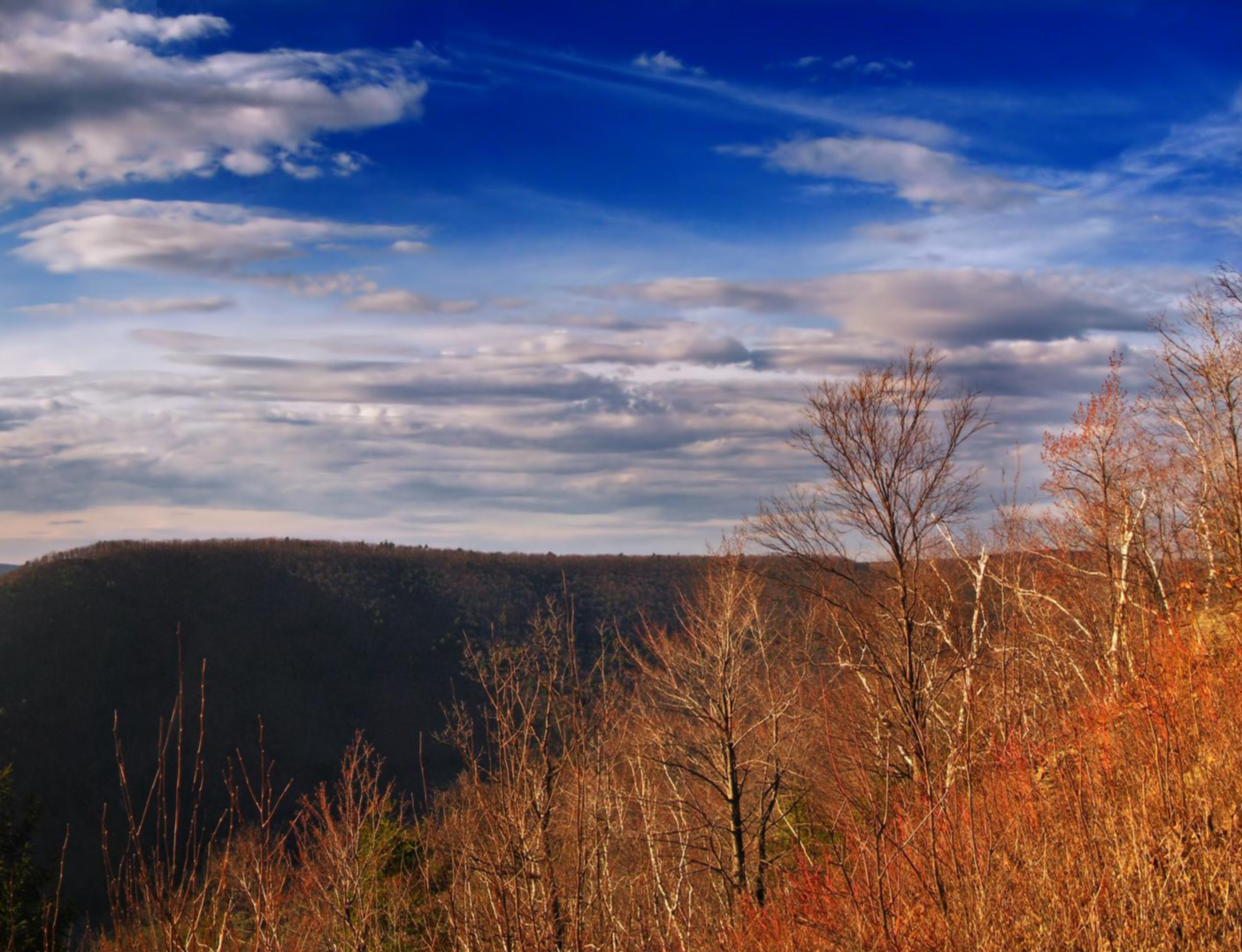
Mid State Trail — Traversing the Pennsylvania divide

Benton MacKaye Trail — Hiking from Georgia to the Smokies
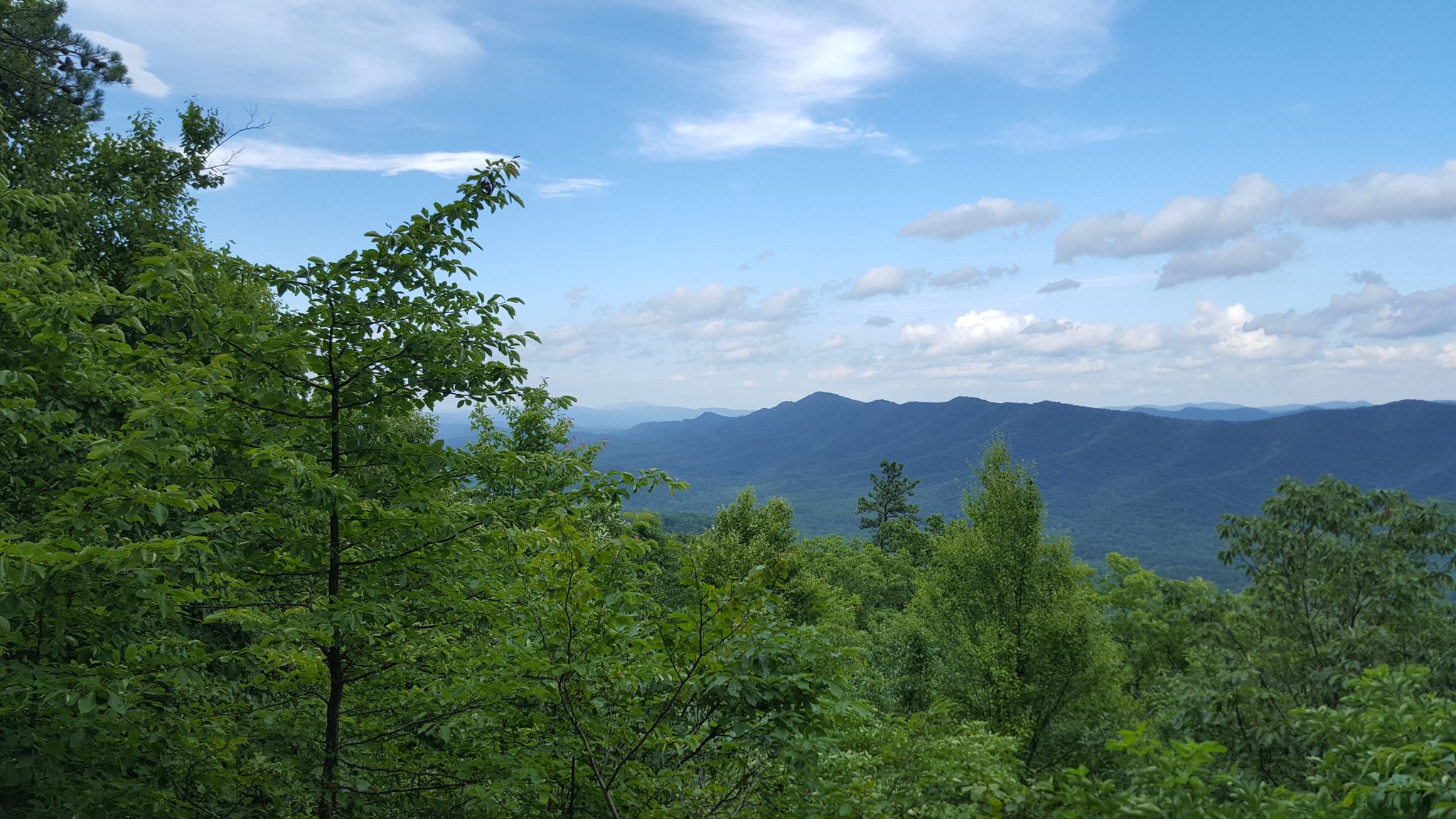
Tuscarora Trail — A remote trek across the backbone of Appalachia

The Bartram Trail — In the footsteps of William Bartram

The Appalachian Trail — America's most iconic long-distance hike
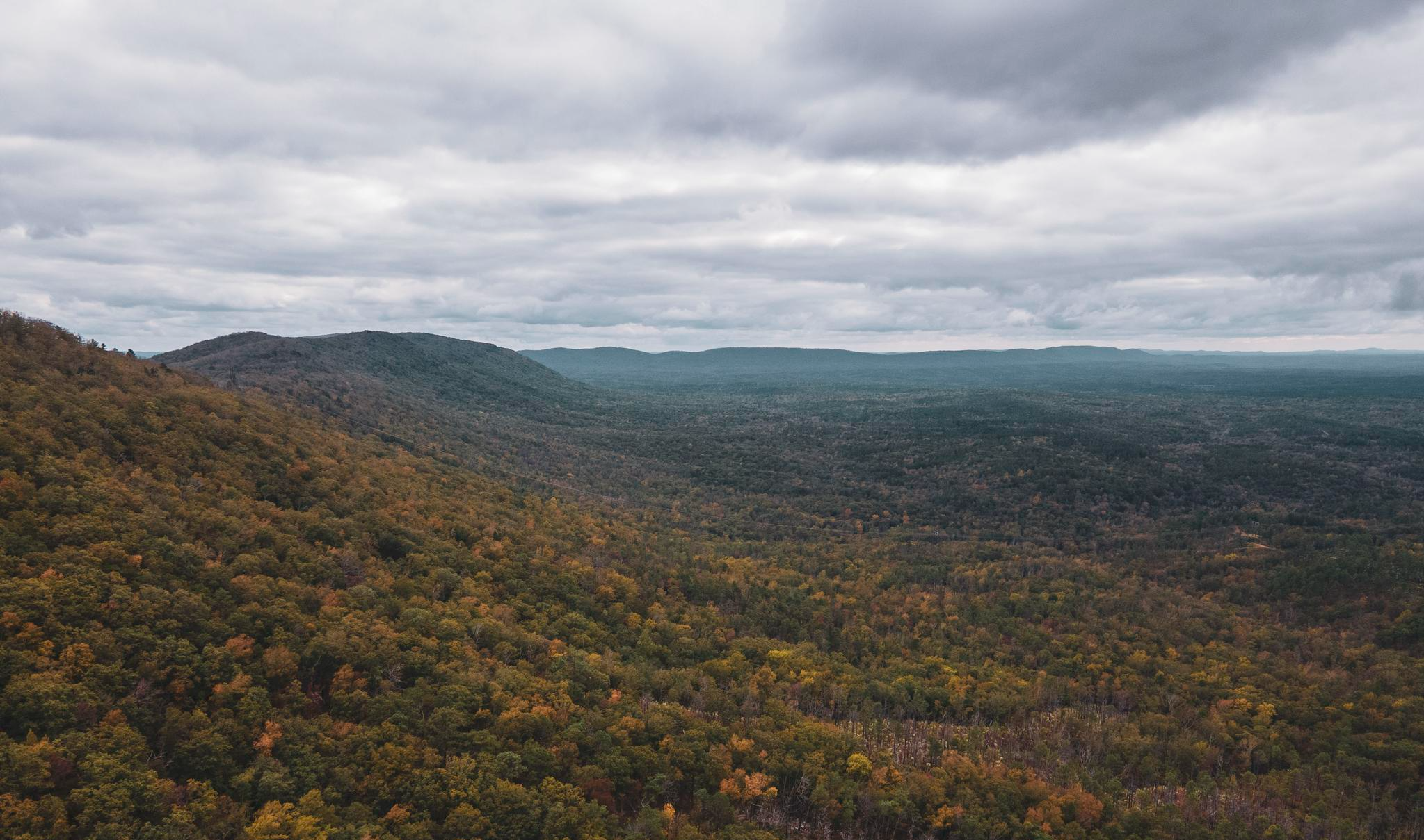
Pinhoti Trail — Alabama & Georgia's southernmost Appalachias

Potomac Heritage National Scenic Trail — Exploring a historic corridor
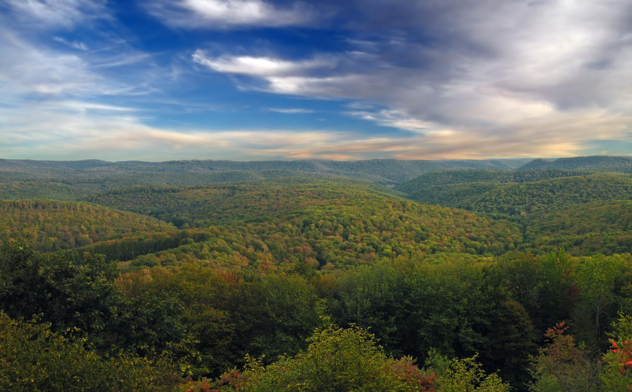
The Susquehannock Trail System — Pennsylvania's most remote loop
Other adventures in the Appalachian Mountains


Tips from the Community

The Youghiogheny River runs parallel to the Laurel Highlands Hiking Trail here around the southern terminus of the trail at Ohiopyle State Park. There are some great views and overlooks of the river along various points of the Laurel Highlands Hiking Trail, especially around miles 6 and 11, but the close-up view of the river near Ohiopyle makes for a great ending or start to the trail.
0
0

The southern end of the Allegheny Trail is right at its junction with the Appalachian Trail, which marks the West Virginia/Virginia border. This point is the official terminus of the Allegheny Trail, and the closest access point is east on the Appalachian Trail to the Peters Mountain Trailhead on Big Stony Creek Road. If you head south along the Appalachian Trail from this junction, you will reach the Groundhog Trail parking area.
0
0


Regarded as one of The Catskills’ greatest lookouts, Inspiration Point truly lives up to the name. Still, don't let the name fool you as there isn't just a single viewpoint on the trail. In fact you'll have many excellent views as you make your way up and down the mountains.
0
0

Nice overlook along Long Trail. There is a great view onto the Kaaterskill Wild Forest valley.
0
0

Here is where Duncan Ridge Trail meets up with the Appalachian Trail. Both of these trails are part of the Georgia Loop, a 60-mile challenge for the most adventurous.
0
0

The last part of the hike to reach this viewpoint is quite a scramble, but the views are incredible. Be careful: You get such incredible views from this place because it's truly a ledge, with exactly the sort of long, steep drop-off that implies.
0
0

The views from the top of Kaaterskill Falls are stunning, hikers can stand on a platform that extends over the forest edge, viewing the eastern Catskill Mountains and falls. Kaaterskill Falls, a two-stage waterfall on Spruce Creek, drops 260 feet from the top to the base of its second tier. As a popular destination for locals and tourists alike, it attracts over 200,000 visitors annually and has been a central attraction in the Catskill Park Forest Preserve since the early 1800s.
0
0
Frequently Asked Questions
How many dog-friendly hiking trails are available in the Appalachian Mountains?
The Appalachian Mountains offer over 180 dog-friendly hiking routes, catering to various skill levels. You'll find a wide selection, from easy strolls to more challenging treks, ensuring there's something for every dog and owner.
Are there easy dog-friendly hikes suitable for senior dogs or beginners?
Yes, the Appalachian Mountains feature many easy dog-friendly trails perfect for senior dogs or those new to hiking. For example, the Inspiration Point and Kaaterskill Falls Loop is an easy option that allows you to enjoy scenic views without excessive strain.
Which dog-friendly trails in the Appalachian Mountains feature waterfalls?
Many dog-friendly trails in the Appalachian Mountains lead to beautiful waterfalls. The Inspiration Point and Kaaterskill Falls Loop is a great choice to experience cascading falls. The region is known for its picturesque waterfalls, such as Dark Hollow Falls in Shenandoah National Park and Laurel Falls in Great Smoky Mountains National Park, though specific dog-friendly routes to all of these may vary.
Are there any dog-friendly loop trails in the Appalachian Mountains?
Yes, the Appalachian Mountains offer several dog-friendly loop trails, which are great for varied scenery and returning to your starting point. The Blood Mountain Loop via Slaughter Creek Trail is a moderate loop option that provides a rewarding experience.
What kind of natural features and landmarks can I expect to see on dog-friendly hikes?
The Appalachian Mountains are rich in natural beauty. You can expect dense forests, panoramic ridge views, and unique geological formations. Highlights include the impressive Alum Cave Bluffs, and various caves like Ice Caves and Skyline Caverns, though access with dogs may vary for specific cave interiors. The region also boasts stunning waterfalls like Virgin Falls.
What is the best time of year to go hiking with my dog in the Appalachian Mountains?
The Appalachian Mountains offer beautiful hiking conditions throughout much of the year. Spring brings flowering wild azaleas and rhododendrons, while autumn showcases spectacular foliage. Summer is popular, but be mindful of heat and humidity. Winter can offer serene, less crowded trails, but requires appropriate gear and caution for icy conditions.
Are there long-distance dog-friendly sections of the Appalachian Trail?
Yes, sections of the iconic Appalachian Trail are dog-friendly and offer opportunities for longer hikes. An example is the Appalachian Trail: Stony Creek Valley to Stillhouse Branch, which provides a challenging, longer experience for you and your canine companion. Always check specific park regulations as some national park sections of the AT may have restrictions.
What do other hikers say about dog-friendly trails in the Appalachian Mountains?
The komoot community highly rates the dog-friendly trails in the Appalachian Mountains, with an average score of 4.7 out of 5 stars. Reviewers often praise the diverse landscapes, well-maintained paths, and the opportunity to explore stunning natural beauty with their dogs.
Are there any moderate or difficult dog-friendly trails for experienced hikers?
For experienced hikers and their dogs, the Appalachian Mountains offer several moderate to difficult trails. The Blood Mountain Loop via Slaughter Creek Trail is a moderate option, while the Kaaterskill Falls, South Mountain, and North Point Loop presents a more difficult challenge with significant elevation changes.
Are there places to stay overnight with my dog near the hiking trails?
While specific dog-friendly accommodations vary, the Appalachian Mountains region has numerous huts and cabins that can serve as excellent bases for hiking. For example, LeConte Lodge and Appalachian Trail Shelter and Greenleaf Hut are notable options, though it's essential to confirm their pet policies directly before planning your trip.
What should I consider for parking and access to dog-friendly trails?
Many trailheads in the Appalachian Mountains offer designated parking areas. It's always advisable to check specific trail information or park websites in advance for details on parking availability, potential fees, and any specific regulations regarding dogs. Public transport options to trailheads are generally limited in this region, making personal vehicle access often necessary.
Most popular routes in the Appalachian Mountains
Most popular attractions in the Appalachian Mountains

Get inspired with the komoot mobile app


Explore more
Browse the best Hikes in other regions.
