The best road cycling routes in the Appalachian Mountains
4.7
(462)
31,175
riders
3,035
rides
Road cycling in the Appalachian Mountains offers diverse landscapes across an ancient mountain range in eastern North America. The region is characterized by rolling, forested terrain, varied elevations, and an extensive network of scenic routes. Cyclists can find everything from gentle rail trails to challenging mountain passes with significant elevation gains, traversing rugged peaks and deep valleys.
Best road cycling routes in the Appalachian Mountains
- The most popular road cycling route is Lake Lanier & Downtown Tryon loop from Les Mullinax Park, a 39.0 miles (62.8 km) trail that takes 3 hours 9 minutes to complete. This route features significant elevation gain through varied terrain.
- Another top favourite among local road cyclists is Ashuwillticook Rail Trail, an easy 27.4 miles (44.0 km) path. This trail offers a relaxed ride with minimal elevation change, suitable for all fitness levels.
- Local road cyclists also love the Mountains to Sea Bicycle Route, a 53.5 miles (86.0 km) trail leading through diverse landscapes, often completed in about 5 hours 17 minutes.
- Road cycling in the Appalachian Mountains is defined by rolling hills, dense woodlands, and varied elevations. The network offers options for different ability levels, from easy rail trails to challenging mountain climbs.
- The routes in Appalachian Mountains are highly rated by the komoot community with an average score of 4.7 stars from over 420 reviews. More than 30,000 road cyclists have used komoot to explore Appalachian Mountains's varied terrain.
Last updated: September 27, 2026
5.0
(1)
141
riders
62.8km
03:10
910m
910m
Embark on a picturesque road cycling journey through the foothills of the Blue Ridge Mountains with the Lake Lanier & Downtown Tryon loop. This route offers a delightful mix of quiet country roads, charming rural landscapes with horse farms, and serene views of Lake Lanier. You'll also pedal directly through the lively atmosphere of Downtown Tryon, experiencing both natural beauty and local culture.
This challenging 39.0-mile (62.8 km) loop features a significant 2973 feet (906 metres) of elevation gain, typically taking around 3 hours and 9 minutes to complete. The route starts conveniently at Les Mullinax Park, where parking is available, and is almost entirely paved, making it ideal for road bikes. Be prepared for a substantial workout, as this route is rated difficult and requires good fitness.
What makes this route stand out is its unique combination of a demanding physical challenge and diverse scenery, offering a true taste of Western North Carolina's landscapes. It's a popular choice among local road cyclists for its blend of natural beauty and cultural immersion, providing a rewarding experience for those seeking an advanced road cycling route near Lake Lanier and Tryon.
5.0
(8)
129
riders
44.0km
01:47
200m
200m
The Ashuwillticook Rail Trail offers a delightful journey through the Hoosac River Valley, providing smooth, paved surfaces perfect for road cycling. You'll glide past the serene Cheshire Reservoir and the winding Hoosic River, with constant views of the majestic Hoosac Mountains and Mount Greylock. Keep an eye out for local wildlife like ducks, geese, and even eagles as you enjoy the gentle scenery.
This easy 27.4-mile (44.0 km) route, with only 651 feet (198 metres) of elevation gain, is suitable for all skill levels and takes about 1 hour and 47 minutes to complete. Multiple access points with parking and restrooms are available along the trail, making it easy to start your ride. It's a fantastic option for a leisurely outing, especially during the vibrant fall foliage season.
Converted from an old railroad line, the Ashuwillticook Rail Trail is a well-maintained, multi-use path that connects towns like Pittsfield, Lanesborough, and Adams. Its name, derived from an American Indian term meaning "pleasant river in between the hills," perfectly captures the charm of its surroundings. The trail even intersects with the Appalachian Trail in Cheshire, offering a unique point of interest.

5.0
(1)
110
riders
86.0km
05:17
2,260m
2,260m
The Mountains to Sea Bicycle Route offers a difficult road cycling challenge, spanning 53.5 miles (86.0 km) with a substantial elevation gain of 7424 feet (2263 metres). This demanding ride takes you through rugged mountain terrain, featuring significant climbs and descents. You will encounter diverse scenery, including impressive vistas like the View of Craggy Dome and the View of Glassmine Falls, making for an engaging experience that typically takes around 5 hours and 17 minutes to complete.
Planning your ride on this route is straightforward, as it is almost entirely paved and well-suited for racebikes. While the route is designed for self-supported touring, you should be prepared for continuous days of riding if you plan to cover longer sections of the overall Mountains to Sea trail. Parking is generally available at various access points along the Blue Ridge Parkway, including near the starting point for this segment.
This segment of the Mountains to Sea Bicycle Route is notable for its journey through Mount Mitchell State Park, providing a significant ascent that appeals to experienced cyclists. You will also pass through distinctive landmarks such as Craven Gap and the Craggy Flats Tunnel, adding to the adventure and showcasing the natural beauty of North Carolina's mountains.
4.0
(1)
87
riders
62.8km
02:50
600m
600m
Embark on the Bear Notch Road loop for a moderate racebike adventure through the serene White Mountain National Forest. This route spans 39.0 miles (62.8 km) and involves a total elevation gain of 1971 feet (601 metres), typically taking around 2 hours and 50 minutes to complete. You will cycle through dense pine forests and wooded areas, enjoying scenic vistas that open up to reveal the majestic White Mountains, with distant views of Mount Chocorua. The atmosphere on Bear Notch Road is notably peaceful, offering a tranquil cycling experience away from busier thoroughfares.
When planning your ride, remember that Bear Notch Road is a seasonal route, accessible only during the warmer months. You should schedule your visit accordingly to experience this unique cycling opportunity. Parking is generally available at various points along the route, making it easy for you to access the trailhead and begin your journey.
This loop offers a distinct perspective into the heart of the White Mountains, providing views not commonly seen from other routes. The less-trafficked nature of Bear Notch Road itself contributes to a more secluded and immersive experience. It stands out as an excellent option if you are seeking a rewarding workout combined with significant natural beauty in the region.
5.0
(1)
85
riders
12.5km
02:02
1,410m
20m
Imagine tackling one of the most demanding road cycling climbs in the US: the Mount Washington Auto Road Bicycle Hillclimb race course. This difficult 7.8-mile (12.5 km) route begins with a brief flat section before immediately ramping up into consistently steep grades, averaging 12% and hitting 22% in the final stretch. You'll push through dense forests, eventually breaking out above the tree line into a unique alpine environment, with the promise of spectacular panoramic views from the Mount Washington Summit on clear days.
This isn't a casual ride; the Auto Road is typically closed to cyclists, opening only for the annual race in August and a practice ride in July. For safety, descending by bike is strictly prohibited, so you must arrange vehicle transport down from the summit. Be prepared for Mount Washington's notoriously severe and rapidly changing weather, which can make the 4636 feet (1413 metres) of climbing over approximately two hours and two minutes even more challenging.
Known as a "murderer" of a climb, this route is a bucket-list challenge for road cyclists worldwide, consistently ranked among the top three most difficult in the U.S. The entire road was fully paved as of 2022, resetting official race records and ensuring a smooth, albeit relentlessly steep, surface. The race also serves as a fundraiser for the Tin Mountain Conservation Center, adding a charitable cause to this epic feat of endurance.
73
riders
126km
06:58
2,650m
2,660m
The Woody Gap to Chattahoochee Wildlife Management Area loop offers a deep dive into the mountainous forest landscapes of North Georgia. As you cycle, you'll be treated to expansive green and blue vistas, especially from the popular Woody Gap scenic overlook. The route winds through the lush Chattahoochee National Forest, providing a constant immersion in nature, with views of Lake Winfield Scott and the vast Chattahoochee Wildlife Management Area.
This is a difficult road cycling challenge, covering 78.4 miles (126.2 km) with a significant 8702 feet (2652 metres) of elevation gain. Plan for a full day in the saddle, as it typically takes around 6 hours and 57 minutes. The route is best suited for cyclists with very good fitness, and the well-paved surfaces are ideal for race bikes, though some mountain segments may have rumble strips.
This loop stands out as the most popular road cycling route in the Chattahoochee-Oconee National Forests, known for its demanding physical effort combined with rewarding scenic beauty. Woody Gap is not only a key access point but also the last summit on the famous "Six Gaps" route, featuring a beautiful 6-mile descent from the gap.
5.0
(1)
71
riders
34.7km
01:24
110m
110m
The Child's Pond from Hanover route offers a delightful and easy road cycling experience, guiding you through the charming New Hampshire countryside. You'll pass by local farms and gardens, enjoying the peaceful atmosphere before reaching the serene Child's Pond, a perfect spot for a quiet moment. The journey also includes glimpses of the Hanover Center parade grounds and the quaint 'downtown' area of Etna, blending natural beauty with local character.
This 21.6-mile (34.7 km) ride is remarkably accessible, starting directly from Hanover. With a minimal elevation gain of just 355 feet (108 metres), it's an easy route suitable for all fitness levels, taking approximately 1 hour and 23 minutes to complete. The trail primarily consists of well-paved surfaces, so you won't need any special gear beyond your road bike.
What truly sets this route apart is its blend of natural tranquility and local charm, making it a popular choice among road cyclists in Grafton County. It's an ideal option if you're seeking a peaceful escape with a touch of local flavor, offering more than just a ride. The route's accessibility and well-maintained surfaces ensure a comfortable and enjoyable experience for everyone.
62
riders
65.4km
03:37
1,410m
1,410m
Embark on a challenging racebike adventure with the Helen to Steedly Mountain via Richard B. Russell Scenic Highway loop. This difficult route covers 40.6 miles (65.4 km) and climbs a significant 4619 feet (1408 metres) of elevation, typically taking around 3 hours and 36 minutes to complete. You will experience continuous views of rolling mountains and dense timberland as you ascend towards Steedly Mountain, encountering steep grades up to 12%.
When planning your ride, be aware that the winding mountain roads and challenging gradients require your full attention. The route is generally well-paved, but its curvy nature means you should stay vigilant for other cyclists and motorcyclists. The charming town of Helen, known for its Bavarian-style architecture, serves as an excellent starting or ending point for your journey.
This loop winds through the scenic Chattahoochee-Oconee National Forest, offering a truly immersive experience in nature. The area is particularly beautiful during autumn, when the foliage transforms into vibrant colors, adding another layer of enjoyment to your demanding ride.
58
riders
81.4km
04:26
1,510m
1,510m
The Caesars Head Hotel & Caesars Head Mountain loop is a demanding road cycling route that plunges you into the heart of the Blue Ridge Escarpment. You'll navigate dense woodlands and tackle the legendary Caesars Head climb, a favorite training ground for professional cyclists. The reward for your effort is a series of panoramic views of the Blue Ridge Mountains, culminating in the breathtaking vista from the View of the Blue Ridge Mountains from Caesars Head. This difficult 50.6-mile (81.4 km) journey, with its 4956 feet (1511 metres) of elevation gain, is a true test of endurance and skill, typically taking around 4 hours and 25 minutes.
Planning your ride requires attention to detail. Spring and fall are ideal for this route, offering pleasant temperatures and vibrant scenery, especially the exceptional fall foliage. Be prepared for cooler temperatures at the summit and potential increased traffic during peak leaf-peeping season in October. While the roads are generally paved, some sections may have bumps and cracks, requiring good bike handling. The visitor center at Caesars Head State Park provides amenities like snacks and drinks.
This area is renowned among the cycling community, with Hotel Domestique serving as a prominent hub for various challenging loops. The connection to professional cyclists like George Hincapie adds a prestigious feel to the ride. Beyond the physical challenge, you'll encounter dramatic geological formations, granitic gneiss outcroppings, and numerous waterfalls along the way, making it a visually rich experience for advanced cyclists seeking the best road cycling Caesars Head has to offer.
5.0
(3)
47
riders
54.5km
02:27
580m
580m
The Squam Lake loop from Ashland is a fantastic road cycling experience, offering a blend of New Hampshire's natural beauty and a solid physical challenge. You'll pedal past the serene Squam Lake, through quaint villages like Center Sandwich, and potentially catch sight of the distant White Mountains. This moderate 33.9-mile (54.5 km) route packs in 1914 feet (583 metres) of elevation gain, making for a rewarding 2-hour and 27-minute ride that truly showcases the region's charm.
Planning your ride means being ready for varied terrain; while mostly paved, some unpaved sections mean your bike should be up to the task. Expect rolling hills and a notably steep climb out of Center Sandwich, so good fitness is a must. You can refuel at spots like the Holderness General Store along the way, making it easy to enjoy the popular cycling trails around Squam Lake.
What makes this loop particularly special is its connection to cinematic history, having been the setting for the classic movie "On Golden Pond." Beyond the film lore, the route provides stunning viewpoints, including potential glimpses of Lake Winnipesaukee, adding to the allure of this scenic tour. It's a ride that offers both a workout and a journey through a beloved New England landscape.
Get access to more routes and recommendations from other explorers.
Already have an account?
Our route recommendations are based on thousands of hikes, rides, and runs completed by other people on komoot.
Start today with a free account
Your next adventure awaits.
Popular around Appalachian Mountains
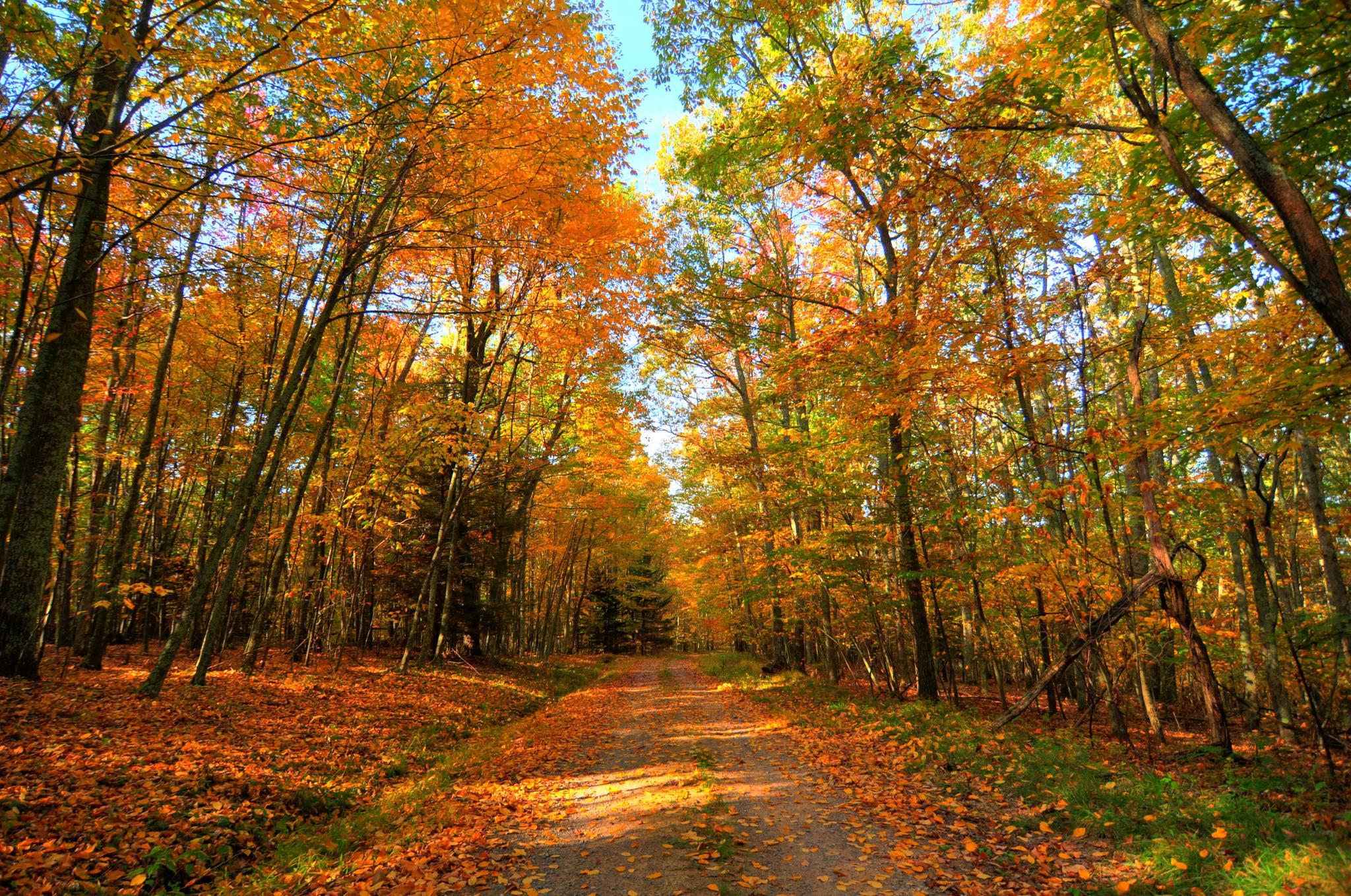
Greenbrier River & Allegheny Highlands loop — Cycling through the heart of West Virginia’s wild beauty
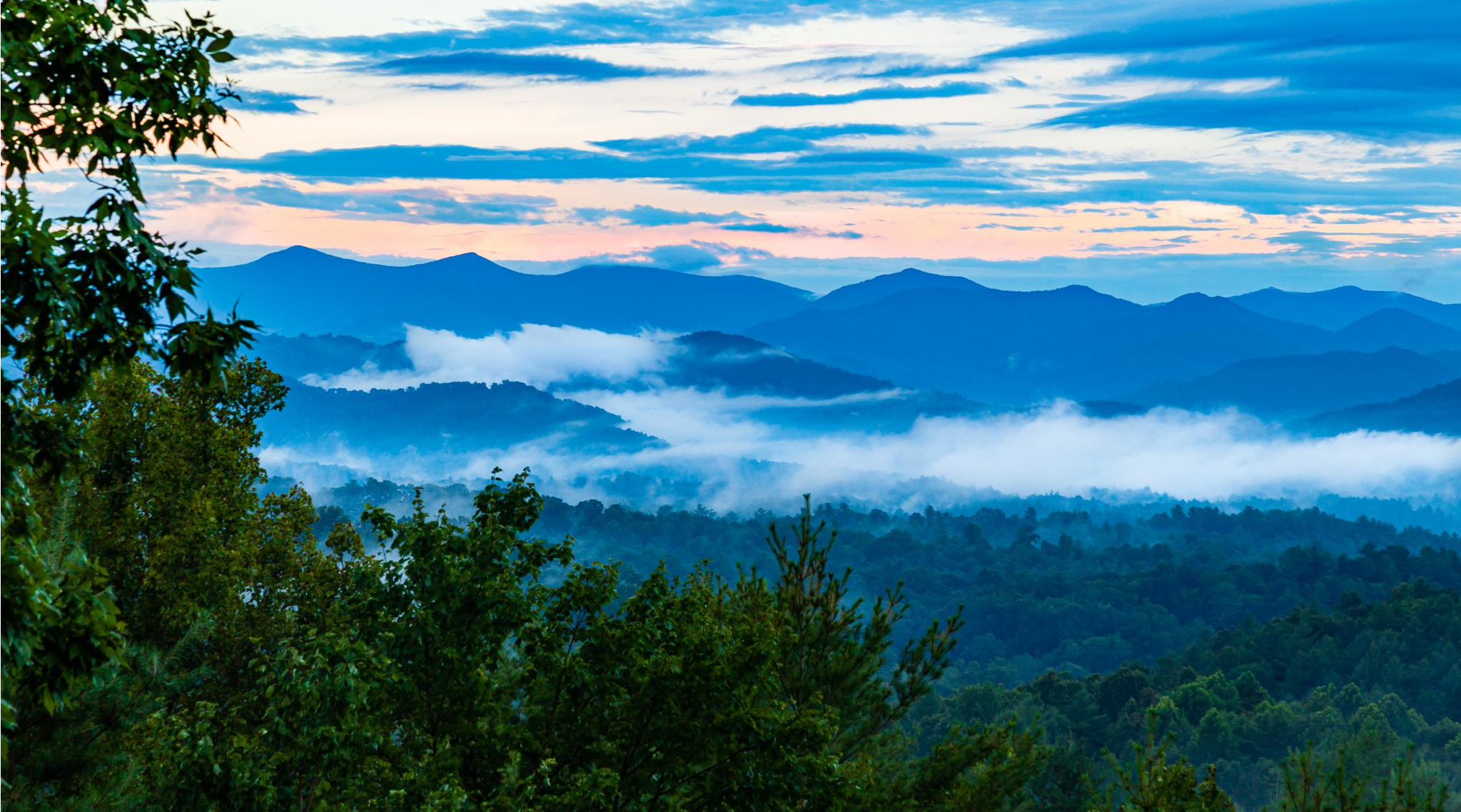
Mountains-to-Sea Trail — An epic adventure from the Smokies to the Atlantic

American Discovery Trail — Walking from sea to shining sea
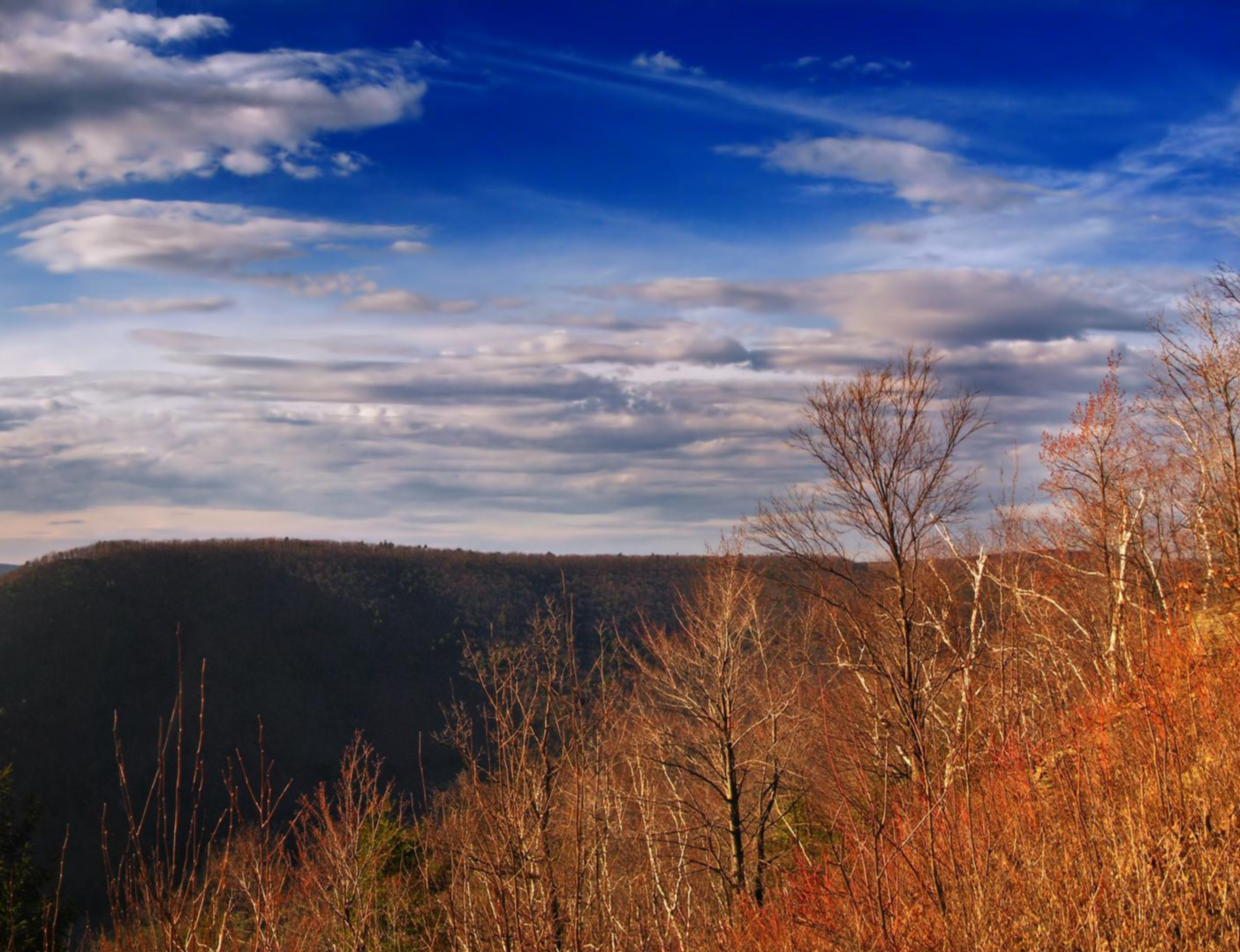
Mid State Trail — Traversing the Pennsylvania divide

Benton MacKaye Trail — Hiking from Georgia to the Smokies
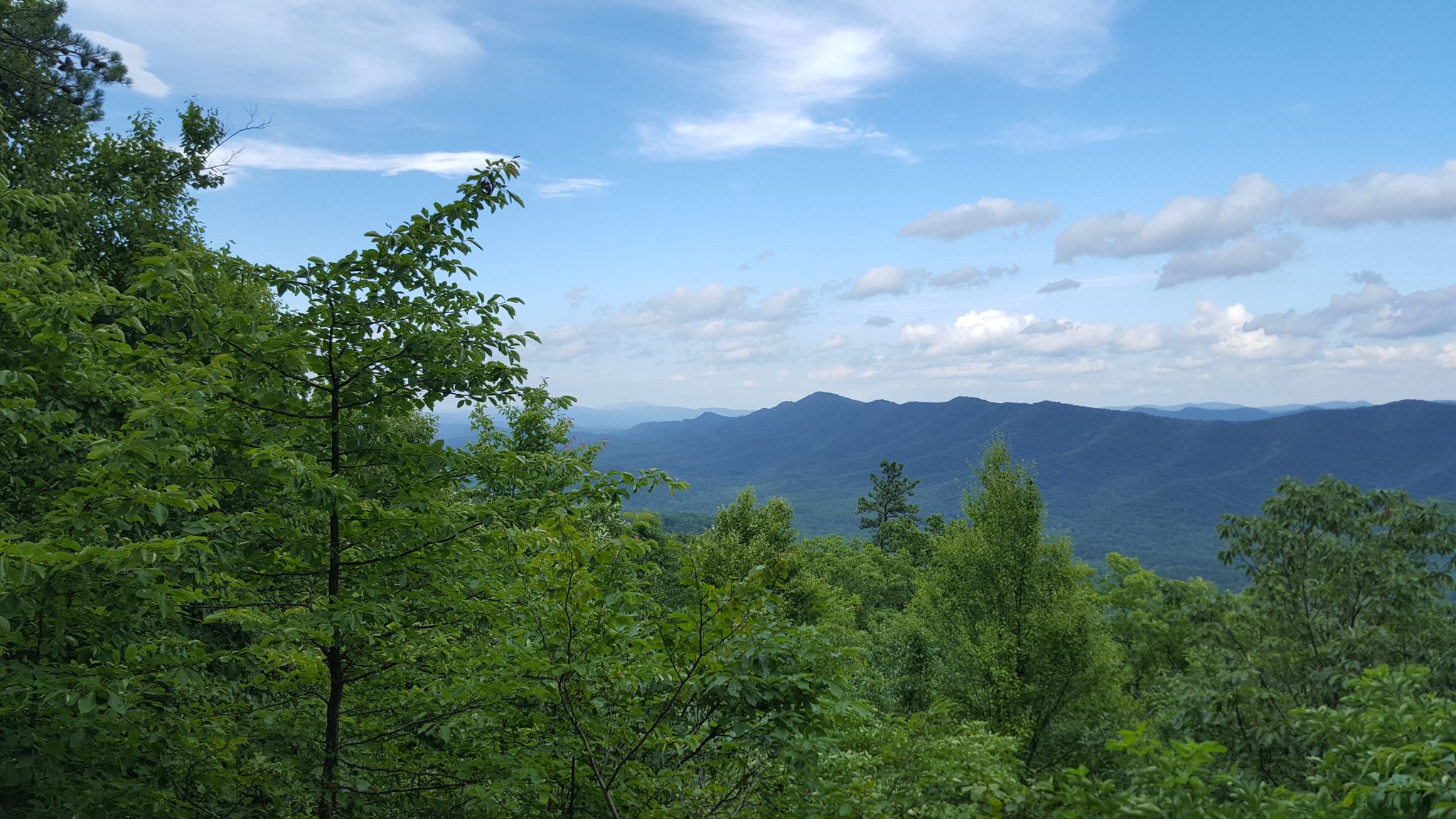
Tuscarora Trail — A remote trek across the backbone of Appalachia
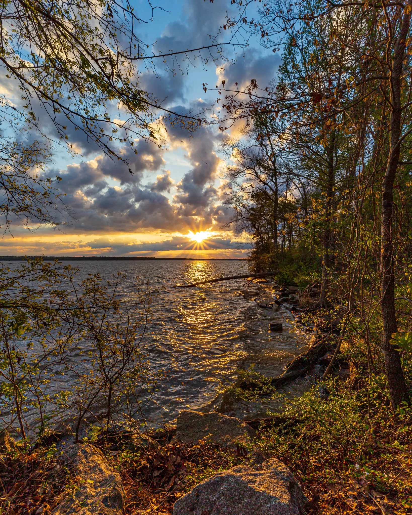
Palmetto Trail — Riding the mountains and marshes of South Carolina
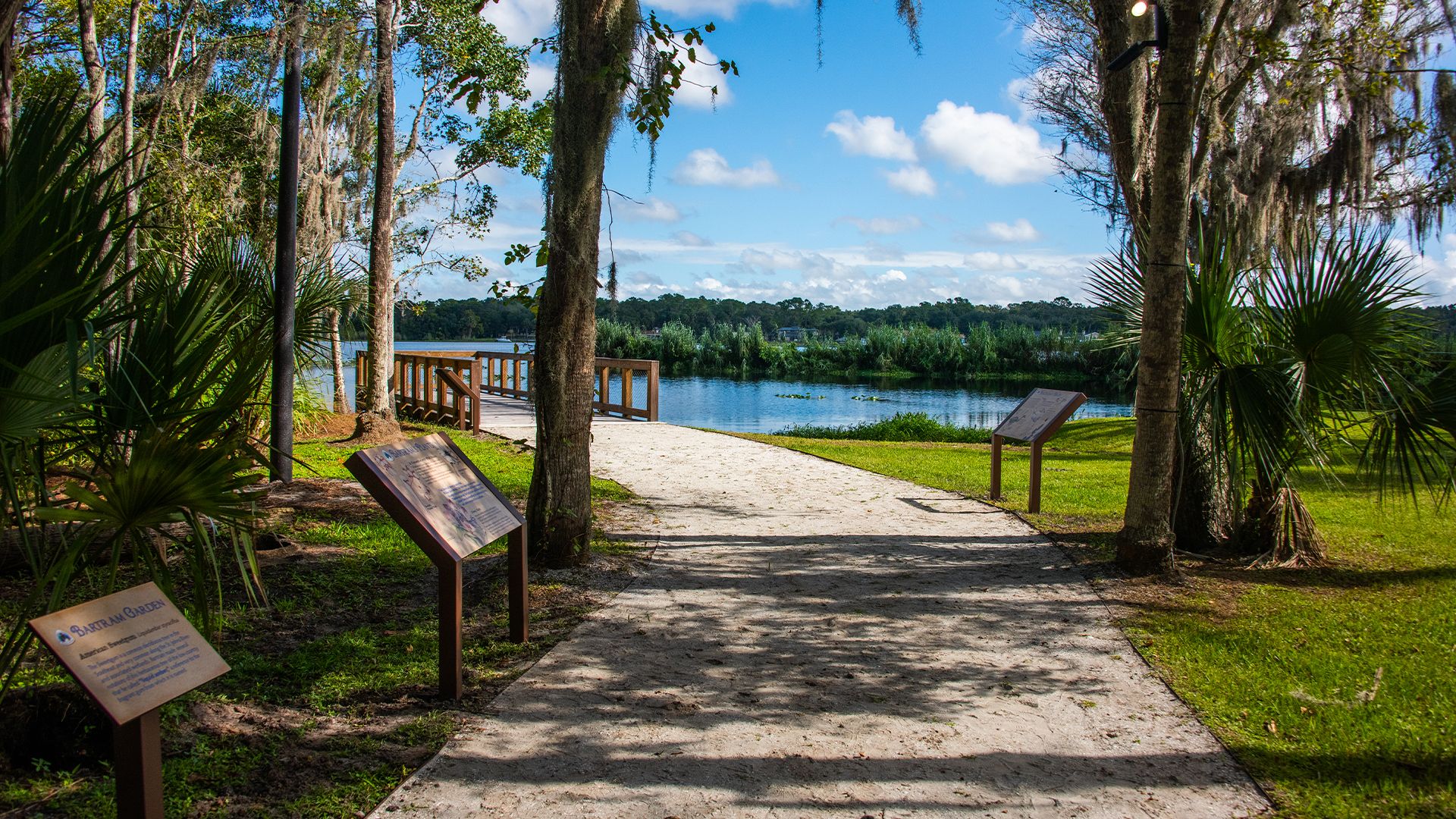
The Bartram Trail — In the footsteps of William Bartram

The Appalachian Trail — America's most iconic long-distance hike
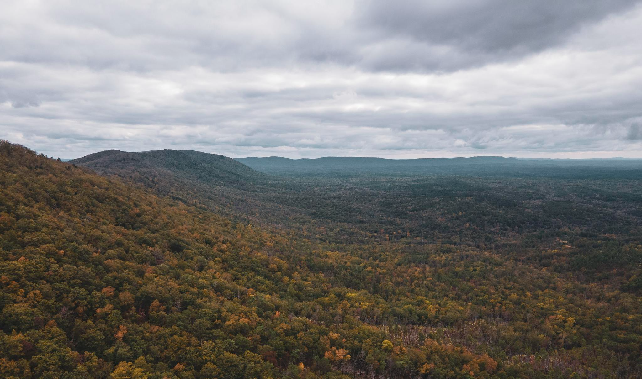
Pinhoti Trail — Alabama & Georgia's southernmost Appalachias
Other adventures in the Appalachian Mountains


Tips from the Community

This is the most beautiful rail trail in Massachusetts hands down.
0
0

Last summit on the official "Six Gaps" route, with a 6-mile beautiful, easy-flowing descent from here. Just don't start too close to any motor vehicle in front of you, if you want to enjoy the descent without braking much.
0
0

This remarkable 7.6-mile climb, accessible to cyclists only twice each year, commences in the town of Glen House. From there, the Mt. Washington Auto Road winds its way upward like a a two-lane ribbon. As you climb, you pass through forests and ultimately above the treeline. The views will pay you back when you reach the 6,288-foot summit of Mt. Washington!
0
0

Washington is the most prominent mountain in the eastern U.S. and an absolutely incredible peak to bag. This is easily one of the best summits in New England. It is also the most dangerous if you come unprepared, especially in the winter. Washington creates its own rapidly changing weather system and is known for being the deadliest small mountain in the world. The second-fastest wind speed on earth was recorded here at over 230mph. That said, a quarter million people visit Washington every year, and if you come prepared and respect the mountain you have nothing to fear and are guaranteed to have an epic summit.
0
0

Converted from an old railroad track, the Ashuwillticook Rail Trail is now a 10 foot wide, 14.2 mile, paved multi use trail meandering along the Cheshire Reservoir while offering sublime views of Mt. Greylock.
0
0
Located just north of Adams, the Ashuwillticook Rail Trail Head sets a lovely tone for the rest of your ride along the trail, perfectly smooth and easy to use for families.
0
0

Dress warmly. Snow season begins July 1 and ends June 30. We were at 68 mph at the summit. Keeping your hat on is a good idea. Two days ago, when we were last up there, it was 73 degrees Fahrenheit and the wind was blowing lightly around 23 mph. Mt. Washington is the highest peak within 1,000 miles, making it an exposed location with what the US Weather Service calls the worst and most surprising weather in the world.
0
0
Stunning views from Steedly Mountain into the Blue Ridge Mountains of Georgia!
0
0
Frequently Asked Questions
How many road cycling routes are available in the Appalachian Mountains?
The Appalachian Mountains offer a vast network for road cyclists, with over 2,900 routes available on komoot. These routes cater to various preferences, from gentle rides to challenging mountain climbs.
What are the difficulty levels of road cycling routes in the Appalachian Mountains?
You'll find a wide range of difficulty levels. There are over 340 easy routes, more than 1,700 moderate routes, and over 830 difficult routes. This diversity ensures options for all fitness levels, from casual riders to experienced climbers.
Are there any easy, family-friendly road cycling routes in the Appalachian Mountains?
Yes, for a more relaxed experience, the Appalachian Mountains feature several easy routes, often on rail trails with minimal elevation change. An excellent example is the Ashuwillticook Rail Trail, which is 27.4 miles long and suitable for all fitness levels. Another option is Child's Pond from Hanover, offering a gentle 34.7 km ride.
What are some challenging road cycling routes for experienced riders?
For those seeking a significant challenge, the Appalachian Mountains offer routes with substantial elevation gains. Consider the Woody Gap to Chattahoochee Wildlife Management Area loop, a demanding 126 km ride with over 2,600 meters of climbing. Another formidable option is the Mount Washington Auto Road Bicycle Hillclimb race course, known for its steep ascent.
What natural features and landmarks can I see along road cycling routes?
The Appalachian Mountains are rich in natural beauty. You can encounter stunning waterfalls like Dark Hollow Falls, Amicalola Falls, or Arethusa Falls. The region also features impressive mountain ranges such as the Great Smoky Mountains and Blue Ridge Mountains, offering breathtaking vistas and diverse forests. Many routes pass through or near national parks and forests like Shenandoah National Park and White Mountain National Forest.
Are there any long-distance road cycling routes in the Appalachian Mountains?
Yes, for those looking for extended rides, the Appalachian Mountains provide several long-distance options. The Mountains to Sea Bicycle Route is a notable example, covering 86 km through diverse landscapes. The region also features routes like the Heart of Appalachia Bike Route, which is a 128-mile ride with significant elevation changes.
What is the best season for road cycling in the Appalachian Mountains?
The Appalachian Mountains offer distinct beauty throughout the year. Spring brings vibrant wild azaleas and rhododendrons, while autumn transforms the mountains with brilliant fall foliage, making it a popular time for 'leaf-peepers.' Summer provides warm weather for cycling, though some higher elevations can be cooler. Always check local weather conditions before heading out.
Are there any circular road cycling routes available?
Many road cycling routes in the Appalachian Mountains are designed as loops, allowing you to start and end at the same point. Examples include the Lake Lanier & Downtown Tryon loop from Les Mullinax Park and the Bear Notch Road loop. These circular routes are convenient for day trips.
What do other road cyclists enjoy most about the Appalachian Mountains?
The Appalachian Mountains are highly rated by the komoot community, with an average score of 4.7 stars from over 420 reviews. Cyclists frequently praise the diverse landscapes, from rolling hills and dense woodlands to challenging mountain passes, as well as the extensive network of scenic routes that cater to all ability levels.
Are there specific permits required for road cycling in certain areas?
While most public roads do not require special permits for cycling, some routes pass through National Parks or protected areas like Shenandoah National Park or Great Smoky Mountains National Park. These areas may have entrance fees or specific regulations. It's always advisable to check the official websites of any parks or forests you plan to cycle through for current permit requirements or fees.
Can I find cafes, pubs, or accommodation near road cycling routes?
Yes, the Appalachian Mountains region is well-equipped with amenities for visitors. Many towns and communities along popular cycling routes offer cafes, pubs, and various accommodation options, from cozy inns to larger hotels. Scenic byways like the Blue Ridge Parkway also have visitor centers and facilities. Planning your route in advance can help you identify convenient stops for refreshments or overnight stays.
Most popular routes in the Appalachian Mountains
Most popular attractions in the Appalachian Mountains

Get inspired with the komoot mobile app


Explore more
Browse the best Road cycling routes in other regions.
