The best walks and hikes in the Appalachian Mountains
4.7
(6178)
94,396
hikers
6,060
hikes
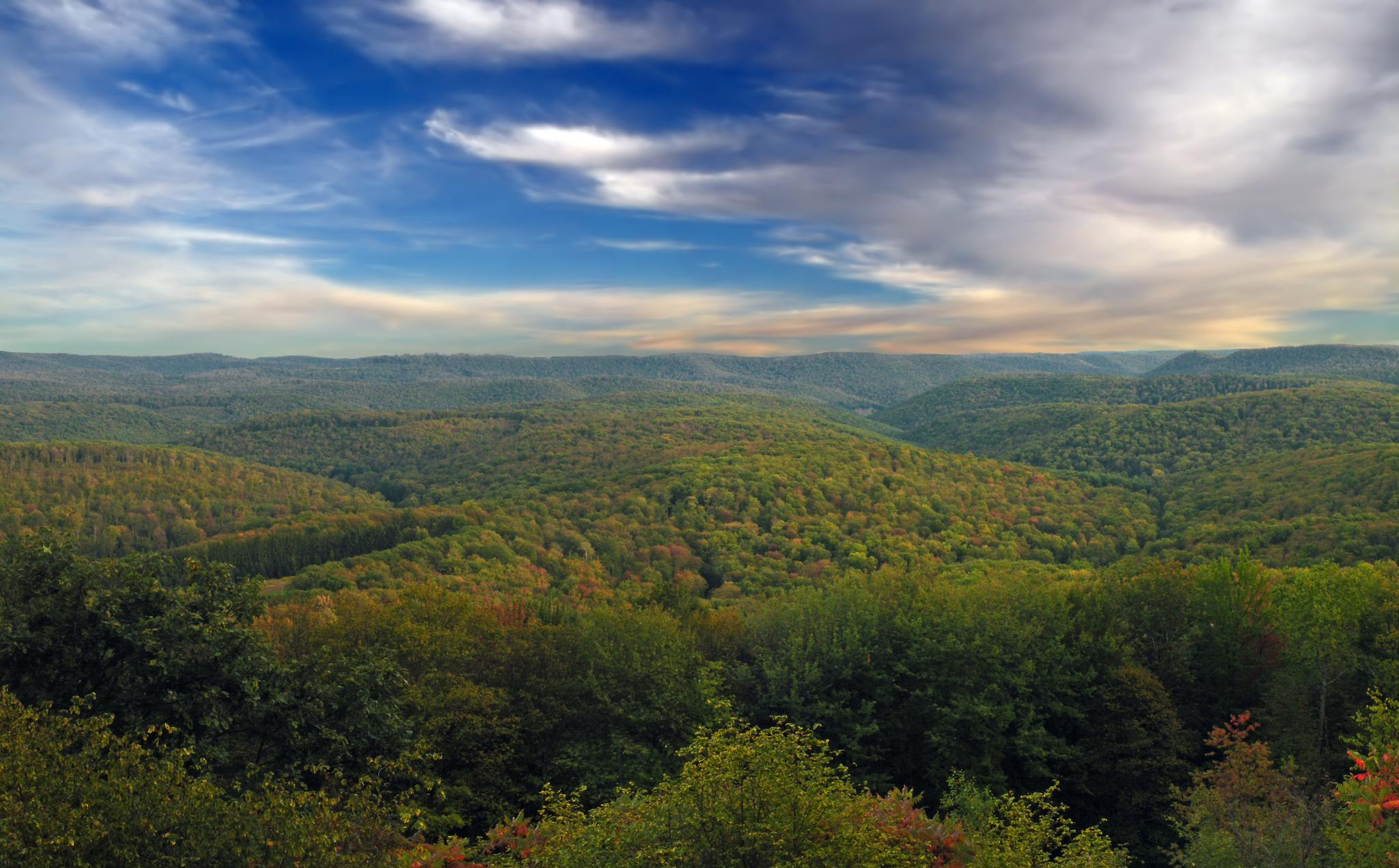
Hiking in the Appalachian Mountains traverses a vast range of ancient, forested peaks stretching along the eastern United States. The region is characterized by rich biodiversity, with trails winding through dense woodlands, past waterfalls, and along high ridges. The terrain varies from gentle riverside paths to strenuous ascents to mountain summits, including sections of the well-known Appalachian Trail. This extensive network of trails offers diverse hiking experiences across its varied landscape.
Best hiking trails in the Appalachian Mountains
- The most popular hiking route is Alum Cave Trail to Mount LeConte — Great Smoky Mountains National Park, a 11.8 miles (19.0 km) trail that takes 6 hours 16 minutes to complete. This is a challenging route with significant elevation gain leading to viewpoints from the mountain.
- Another top favourite among local hikers is Dark Hollow Falls & Rose River Falls via Rose River Loop — Shenandoah National Park, a moderate 5.2 miles (8.4 km) path. The trail follows the Rose River and passes multiple waterfalls.
- Local hikers also love the Laurel Falls Trail — Great Smoky Mountains National Park, a 2.5 miles (4.0 km) trail leading through Great Smoky Mountains National Park, often completed in about 1 hour 10 minutes.
- Hiking in the Appalachian Mountains is defined by dense broadleaf forests, cascading waterfalls, and long-distance ridge trails. The extensive network of paths offers routes suitable for all ability levels.
- The routes in Appalachian Mountains are highly rated by the komoot community with an average score of 4.7 stars from over 5,800 reviews. More than 93,000 hikers have used komoot to explore Appalachian Mountains's varied terrain.
Last updated: October 4, 2026
4.9
(41)
992
hikers
13.6km
06:54
1,070m
1,050m
The Franconia Ridge Loop is a truly spectacular hike, renowned for its dramatic alpine ridgeline and panoramic views across the White Mountains. You'll navigate diverse terrain, from waterfall-laden paths like the Falling Waters Trail to steep, rocky ascents leading to exposed summits. The highlight is traversing the narrow ridge connecting Little Haystack Mountain, Mount Lincoln, and Mount Lafayette, where you'll feel on top of the world with expansive vistas in every direction.
This difficult 8.4-mile (13.6 km) loop involves a substantial 3499 feet (1067 metres) of elevation gain, typically taking around 6 hours and 54 minutes. Due to its challenging nature and exposed sections, it's best suited for experienced hikers who are prepared for rapidly changing weather conditions. Arrive early, especially on weekends, as the trailhead parking fills up quickly for this popular route.
Part of the world-famous Appalachian Trail, the Franconia Ridge Loop is a classic New Hampshire experience. The route offers the option to visit the Greenleaf Hut, providing a potential stop for amenities. Its unique combination of challenging terrain, significant elevation, and breathtaking scenic viewpoints makes it a must-do for those seeking an unforgettable adventure in the White Mountains.
4.8
(36)
465
hikers
7.45km
02:24
320m
330m
The Alum Cave Trail offers a captivating journey through the Great Smoky Mountains, showcasing diverse scenery from old-growth forests to unique geological formations. You'll traverse log bridges over Alum Cave Creek, pass directly through the impressive Arch Rock, and be rewarded with panoramic mountain views from Inspiration Point. The trail culminates at the massive Alum Cave Bluffs, a concave, overhanging sandstone bluff that provides a natural shelter and a popular resting spot.
This popular route is a moderate hike covering 4.6 miles (7.4 km) with 1064 feet (324 metres) of elevation gain, typically taking about 2 hours and 24 minutes. Given its popularity, especially during peak season and on weekends, plan to arrive early to secure parking at the trailhead. The trail can be rocky and uneven, with some narrow sections featuring cable assistance, so wear appropriate footwear and be prepared for varied terrain.
Alum Cave Trail is renowned for its blend of natural beauty and historical significance; the bluffs were once mined for saltpeter during the Civil War. It's also the shortest, though steepest, of the five trails leading to Mount LeConte, making it a common choice for those aiming for the summit. The trail's consistent engagement with landmarks and diverse features makes it one of the most notable hikes in the park.

4.9
(41)
374
hikers
6.72km
02:38
490m
500m
The Welch-Dickey Loop Trail is a classic New England hike that delivers stunning panoramic views without the commitment of a higher peak. You'll traverse varied terrain, from classic New Hampshire forest paths to extensive sections of exposed granite ledges, offering vistas of Franconia Notch and the Pemigewasset Valley from summits like Dickey Mountain. The route is known for its unique rock slabs and the feeling of being high above the surrounding landscape.
This popular trail is rated moderate, covering 4.2 miles (6.7 km) with 1608 feet (490 metres) of elevation gain, typically taking about 2 hours and 38 minutes. It's crucial to plan your visit for dry conditions, as the bare granite can become dangerously slick when wet. Most hikers prefer to tackle the loop counter-clockwise to ascend the steeper granite sections, and arriving early at the Welch-Dickey Trailhead is advisable due to its popularity.
What makes the Welch-Dickey Loop Trail truly notable is its ability to provide "4,000-footer views" at a much lower elevation, making it a highly sought-after destination in the White Mountain National Forest. Dickey Mountain is even included on the "52 With a View" list, recognizing its exceptional vistas. The combination of challenging terrain, accessible distance, and breathtaking scenery makes it a must-do for many hikers.
5.0
(9)
177
hikers
8.16km
03:26
420m
420m
The Mount Morgan and Mount Percival Loop offers a truly adventurous hiking experience near Squam Lake, blending stunning New Hampshire scenery with unique technical challenges. You'll traverse varied terrain, from pine-needle-covered paths to rocky scrambles, culminating in expansive views of Squam Lake and Lake Winnipesaukee from open ledges. The route is known for its distinctive features, including the thrilling Mount Morgan Ladder Ascent and the optional boulder caves on Mount Percival, making it a favorite for those seeking more than just a walk in the woods.
This difficult 5.1-mile (8.2 km) loop involves 1367 feet (417 metres) of elevation gain and typically takes around 3 hours and 26 minutes. Due to its popularity, especially on weekends, plan to arrive early to secure parking at the trailhead. The trail can be muddy in spots, so appropriate footwear is recommended. While challenging, bypass options exist for both the ladders and the caves, allowing hikers to tailor the adventure to their comfort level.
Often compared to trails like Old Rag for its varied and technical demands, the Mount Morgan and Mount Percival Loop is a highlight of the Lakes Region. It's particularly engaging for families with older children or anyone looking for a hike that combines physical exertion with memorable natural features. The trail's inclusion on New Hampshire's "Terrifying 25" list speaks to its adventurous character, promising a rewarding day for those ready for a bit of a scramble.
4.8
(65)
807
hikers
3.57km
01:06
120m
120m
The Flume Gorge Trail offers a truly unique journey through a narrow, 800-foot-long granite gorge in Franconia Notch State Park. You'll walk on sturdy boardwalks alongside moss-covered walls, experiencing the cool, misty atmosphere and the roar of Avalanche Falls, a 45-foot waterfall. This easy 2.2-mile (3.6 km) loop, with a gentle 387 feet (118 metres) of elevation gain, is a high-payoff hike that takes just over an hour, immersing you in stunning natural beauty.
Planning your visit requires a bit of foresight; reservations are strongly recommended, especially during busy times, as walk-ins are not guaranteed. The trail is well-maintained with paved sections and boardwalks, but be prepared for some uphill walking and stairs. While it's a family-friendly adventure, it's not suitable for strollers, and good grip footwear is advised for potentially slippery boardwalks near the falls.
This trail stands out for its unique geological formation, a granite gorge shaped by glaciers over millions of years. Beyond the main gorge, you'll encounter historic covered bridges, including the Pemigewasset Covered Bridge, and can even explore narrow passages like the "Bear Cave" and "Wolf's Den." It's a highlight of Franconia Notch State Park, offering an intimate view of New Hampshire's natural wonders.
4.9
(16)
162
hikers
10.5km
03:10
250m
490m
The Ricketts Glen Falls Trail Loop plunges you into a spectacular "waterfall wonderland," where you'll encounter over 20 named cascades, including the towering 94-foot Ganoga Falls. The path winds through ancient, moss-covered woodlands and deep gorges, offering a continuous symphony of rushing water and lush scenery. Expect a rugged journey over rocky terrain and numerous stone steps, making for an immersive and unforgettable natural experience.
This 6.5-mile (10.5 km) hiking loop involves 819 feet (250 metres) of elevation gain and typically takes around 3 hours and 9 minutes. While rated moderate, the steep grades and often slippery surfaces mean you'll need sturdy footwear with excellent grip. The trail is closed in winter for most hikers, so plan your visit for the warmer months to avoid hazardous conditions.
Recognized as a National Natural Landmark, the Glens Natural Area boasts one of the highest concentrations of waterfalls in the eastern United States. Beyond the cascades, you'll discover significant stands of old-growth timber, some over 300 years old, contributing to the trail's unique ecological value and making it a truly notable destination for nature lovers.
4.8
(10)
160
hikers
7.90km
03:04
260m
330m
Embark on the Stone Mountain Loop Trail for a challenging hike through varied terrain, featuring dirt paths, rocky sections, and numerous wooden steps. As you navigate this difficult route, you will encounter the impressive 200-foot Stone Mountain Falls cascading down a granite wall, a true highlight of the journey. The trail covers 4.9 miles (7.9 km) and involves a significant elevation gain of 854 feet (260 metres), typically taking around 3 hours and 3 minutes to complete.
When planning your visit, be aware that parking is generally available at Stone Mountain State Park, providing convenient access to the trailhead. The route is well-marked with orange blazes, making navigation straightforward as you explore. Prepare for a strenuous experience, as the trail includes considerable inclines and steep sections that demand good physical condition. It is advisable to start early, especially during peak seasons, to secure parking and enjoy the hike at your own pace.
Beyond the physical challenge, the Stone Mountain Loop Trail offers a unique blend of natural beauty and historical insight. From the Stone Mountain Summit, you are rewarded with expansive panoramic views of the majestic Blue Ridge Mountains. The route also guides you past the historic Hutchinson Homestead, offering a fascinating glimpse into 19th-century farm life and the rich heritage of the area. This combination of stunning vistas and historical context makes the trail a standout experience in the region.
4.6
(18)
123
hikers
8.44km
02:32
260m
270m
The Deep Creek Loop Trail immerses you in the heart of Great Smoky Mountains National Park, offering a delightful journey through lush forests and along the babbling Deep Creek. You'll encounter three distinct waterfalls: the easily accessible Tom Branch Falls, the unique Indian Creek Falls, and the multi-tiered Juney Whank Falls, each providing a picturesque stop. The terrain varies from wide, flat paths to a significant uphill climb towards Sunkota Ridge, making it a dynamic experience for those who enjoy varied landscapes.
This moderate 5.2-mile (8.4 km) loop, with 867 feet (264 metres) of elevation gain, typically takes about 2 hours and 31 minutes to complete. The Deep Creek Loop Trail is popular, so plan to arrive early to secure parking, especially during peak seasons. Spring and fall are particularly scenic, with wildflowers or vibrant foliage, offering the best season to hike Deep Creek Loop Trail, but be prepared for crowds.
What makes this trail notable is its combination of multiple waterfalls and historical significance; it was one of the first constructed by the Civilian Conservation Corps. Beyond hiking, the Deep Creek area is also known for tubing in summer, and some sections are open to biking, a rare allowance in Great Smoky Mountains National Park. It's a fantastic option for a rewarding half-day adventure.
4.8
(10)
155
hikers
7.31km
02:51
260m
270m
Embark on the Stone Mountain Loop Trail for a challenging hike covering 4.5 miles (7.3 km) with a significant 853 feet (260 metres) of elevation gain. This difficult route, estimated to take around 2 hours and 50 minutes, leads you through varied terrain. You will traverse streambeds and forests before tackling rocky switchbacks. The highlight is reaching the 600-foot granite dome of Stone Mountain Summit, offering expansive panoramic views of the Blue Ridge Mountains.
Prepare for a strenuous outing on this trail, which includes considerable uphill climbing and rocky sections. The granite surface near the summit can become particularly slippery, especially after rainfall, so always wear appropriate footwear with good grip. Plan your visit during dry conditions if possible to best enjoy the challenging ascent. Allow ample time for the full loop to appreciate the diverse landscapes and historical points of interest.
Beyond the summit views, the route offers a journey through natural beauty and local history. You will encounter the impressive 200-foot Stone Mountain Falls, where water cascades down the granite face. The trail also takes you past the Historic Hutchinson Homestead, providing a glimpse into the past. This combination of natural wonders and historical sites makes the Stone Mountain Loop a truly rewarding experience.
4.8
(8)
133
hikers
22.8km
08:23
990m
1,000m
Embark on a difficult hike up Mount Marcy via the Van Hoevenberg Trail, a challenging 14.1-mile (22.8 km) journey that gains 3262 feet (994 metres) in elevation. You can expect this strenuous adventure to take around 8 hours and 23 minutes to complete. The route begins by winding through dense forests, where you will cross wooden bridges and boardwalks, offering a peaceful start to your ascent. As you progress past Marcy Dam, the terrain transforms, becoming increasingly rocky and leading you above the treeline. Here, you enter an alpine zone, culminating in panoramic views of the Adirondack High Peaks from the summit of Mount Marcy.
The Van Hoevenberg Trailhead, located near the Adirondack Loj, serves as a popular gateway for many High Peaks excursions. Before you set out, always check the weather forecast, as conditions on Mount Marcy can change rapidly, particularly at higher elevations. If you are considering a winter hike, be prepared with specialized equipment such as snowshoes and crampons to navigate the snowy and icy terrain safely. This preparation ensures you are ready for the mountain's demands.
Mount Marcy holds the distinction of being the highest peak in New York State, offering a unique opportunity to stand atop the Adirondacks. The trail guides you through diverse ecosystems, from lush forests to the exposed alpine zone, showcasing the region's natural beauty. Its prominence makes it a significant destination for hikers seeking to experience the grandeur of the High Peaks Wilderness. This route is a classic for those aiming to conquer the state's highest point.
Get access to more routes and recommendations from other explorers.
Already have an account?
Our route recommendations are based on thousands of hikes, rides, and runs completed by other people on komoot.
Start today with a free account
Your next adventure awaits.
Popular around Appalachian Mountains

Mountains-to-Sea Trail — An epic adventure from the Smokies to the Atlantic

American Discovery Trail — Walking from sea to shining sea
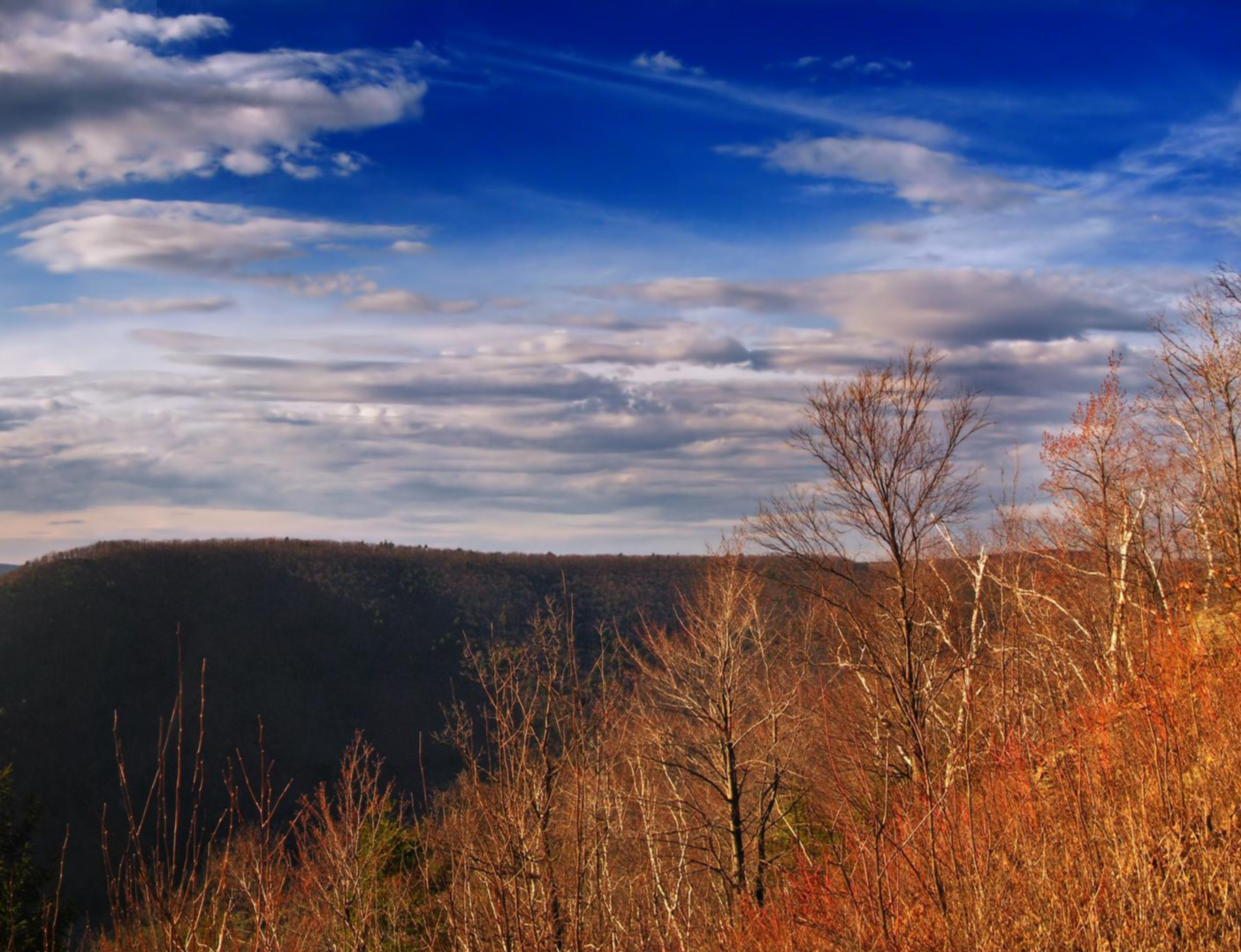
Mid State Trail — Traversing the Pennsylvania divide

Benton MacKaye Trail — Hiking from Georgia to the Smokies
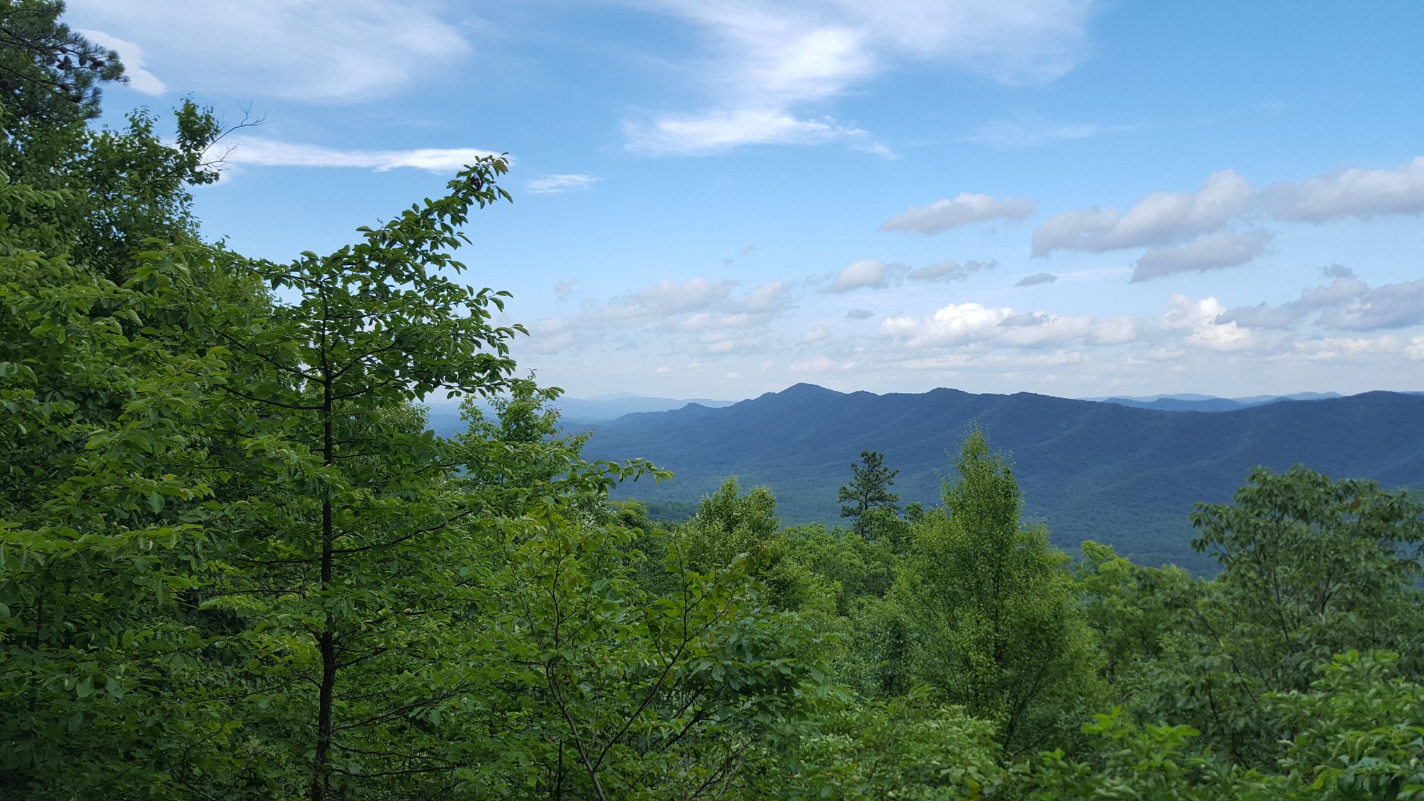
Tuscarora Trail — A remote trek across the backbone of Appalachia
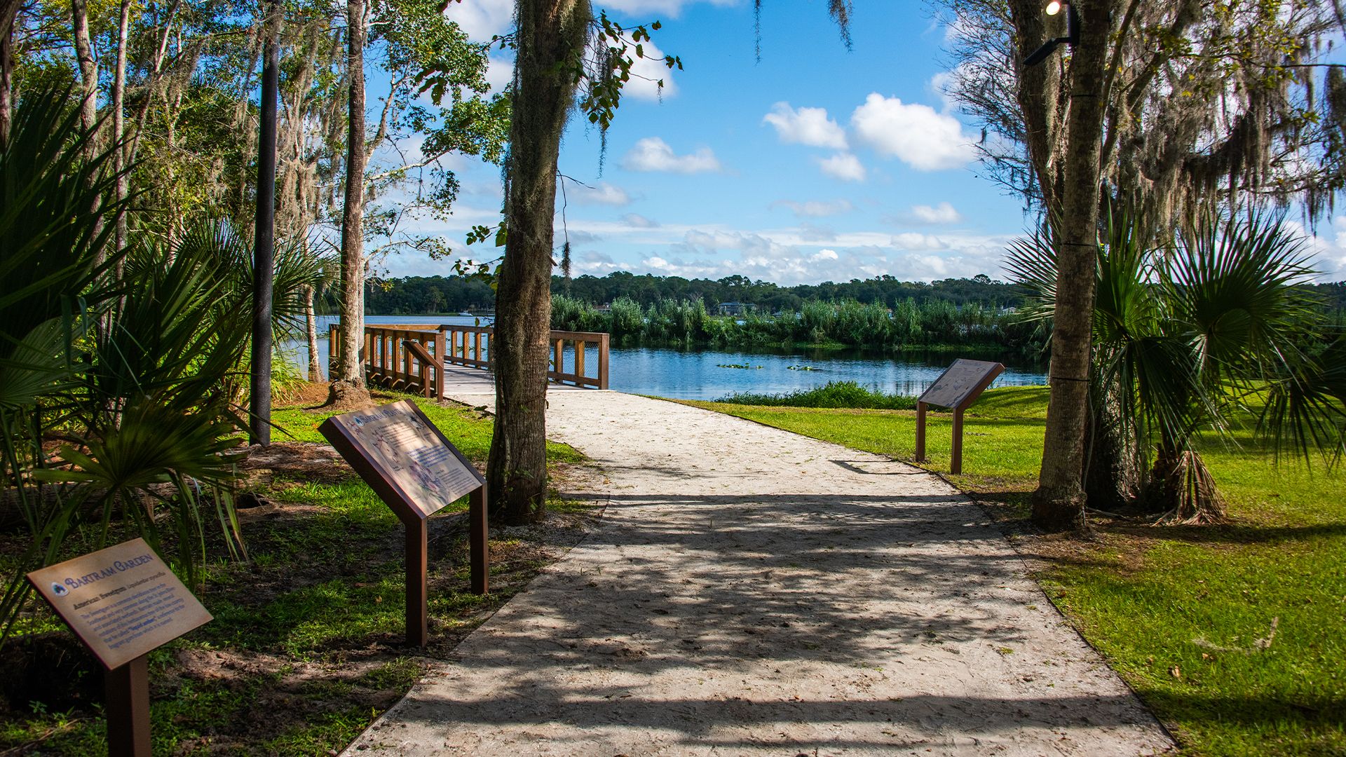
The Bartram Trail — In the footsteps of William Bartram

The Appalachian Trail — America's most iconic long-distance hike
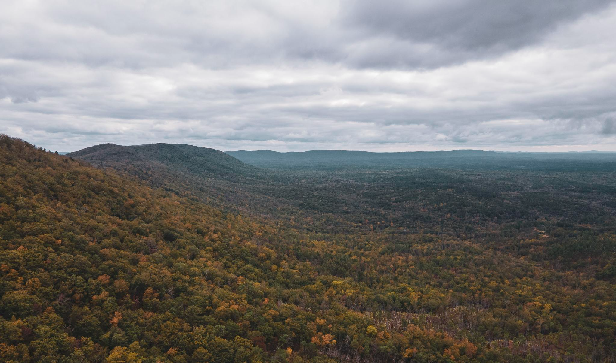
Pinhoti Trail — Alabama & Georgia's southernmost Appalachias

Potomac Heritage National Scenic Trail — Exploring a historic corridor
The Susquehannock Trail System — Pennsylvania's most remote loop
Other adventures in the Appalachian Mountains


Tips from the Community

We found the clockwise hike pleasant.
0
0
Hike only in dry weather. We walked the loop clockwise and found it good.
0
0


Nice hike on reasonable paths, sometimes wet from the water that comes from the mountain. Use good shoes and bring enough water is a tip. But also to buy a parking ticket at the visitor center for that day.
0
0

At this point in your hike you'll be treated to spectacular, panoramic views of Mount Lafayette to your left, and Mount Lincoln on your right.
0
0
From this point you can take in a lovely view of Mount Lafayette, with even more striking views on a clear day.
0
0

This is a great lookout over the parkway that traverses Franconia Notch, to your west.
0
0
Frequently Asked Questions
Are there many hiking trails in the Appalachian Mountains?
Yes, there is a vast network of trails. The region offers over 4,200 hiking routes, catering to all abilities. You'll find everything from gentle riverside paths to challenging multi-day treks across the ancient peaks.
What do other hikers enjoy about the Appalachian Mountains?
The area is highly rated by the komoot community. Hikers often praise the incredible biodiversity, the well-maintained trails through dense forests, and the rewarding views from the ridges. The sheer variety of landscapes, from cascading waterfalls to quiet woodlands, is a frequently mentioned highlight.
Are there any good hikes for beginners or families?
Absolutely. The region has over 1,300 easy trails. A great option is the Sentinel Pine bridge via Flume Gorge Trail loop in Franconia Notch State Park. It's a relatively short walk with minimal elevation gain, making it perfect for a family outing.
Can I bring my dog on hikes in the Appalachian Mountains?
Dog-friendliness varies greatly depending on the specific park and trail. For example, most trails in Great Smoky Mountains National Park are not dog-friendly to protect wildlife. However, many trails in National Forests, such as parts of the White Mountain National Forest, do allow dogs. Always check the specific regulations for the trail you plan to hike before you go.
What are some good waterfall hikes?
The Appalachians are famous for their waterfalls. For a rewarding hike, consider the Rainbow Falls Trail in the Great Smoky Mountains. It's a moderately challenging route that leads to a beautiful 80-foot waterfall, the highest single-drop waterfall in the park.
What is the best time of year to hike in this region?
Spring and autumn are generally considered the best times to hike. In spring, you'll see wildflowers like rhododendron and azaleas in full bloom. Autumn offers spectacular fall foliage and cooler, more comfortable hiking temperatures. Summer can be hot and humid, while winter may bring snow and ice, requiring special gear and experience.
Are there any circular or loop trails available?
Yes, there are many loop trails that allow you to enjoy a varied hike without backtracking. A popular moderate option is the Abrams Falls Trail. This trail follows a creek and leads to a large-volume waterfall, offering a scenic and satisfying loop.
What kind of wildlife might I see?
The Appalachian Mountains are incredibly biodiverse. It's common to see white-tailed deer, squirrels, and a wide variety of bird species. Black bears are also present throughout the range, so it's important to be bear-aware: store your food properly and know what to do during an encounter. In areas like Grayson Highlands, you might even see wild ponies.
Are there any challenging hikes for experienced trekkers?
For those seeking a challenge, the hike to Mount LeConte viewpoints is a strenuous but highly rewarding option. It involves significant elevation gain and leads to some of the most spectacular panoramic views in the Great Smoky Mountains.
Can I hike a section of the famous Appalachian Trail?
Yes, many day hikes and multi-day trips utilize sections of the Appalachian Trail (A.T.). A great example is the hike from Newfound Gap to Charlies Bunion. This route follows the A.T. along a high ridge, offering stunning views from a dramatic rock outcropping.
What are some popular places for hiking in the Appalachian Mountains?
Several areas are particularly popular with hikers. The Great Smoky Mountains National Park is a major hub, known for its biodiversity. The Grayson Highlands section in Virginia is famous for its open balds and wild ponies. For rugged, challenging terrain, the White Mountain National Forest in New Hampshire is a top destination.
How should I prepare for a hike in the Appalachians?
Preparation depends on the trail's length and difficulty. Always wear sturdy hiking shoes with good grip. The weather can change quickly, so dress in layers and pack a waterproof jacket. Bring plenty of water and snacks. For longer hikes, a map and compass or a GPS device are essential, as cell service can be unreliable in many areas.
Most popular routes in the Appalachian Mountains
Most popular attractions in the Appalachian Mountains

Get inspired with the komoot mobile app


Explore more
Browse the best Hikes in other regions.
