The best hikes from bus stations in the Texel Group
4.6
(34919)
160,686
hikers
373
hikes
Bus station hiking trails in the Texel Group traverse a diverse landscape, ranging from sub-Mediterranean valleys to high-alpine peaks exceeding 3,000 meters. The region is characterized by varied ecosystems, including arid steppes, mixed forests, and alpine grasslands. Hikers encounter numerous high-alpine lakes, such as the Spronser Lakes, and impressive waterfalls like the Partschins Waterfall. Ancient irrigation channels, known as Waalwege, offer gentle paths through historic agricultural areas.
Best bus station hiking trails in the Texel Group
- The most popular bus…
Last updated: May 14, 2026
4.4
(316)
1,260
hikers
5.41km
01:38
180m
190m
Easy hike. Great for any fitness level. Easily-accessible paths. Suitable for all skill levels.
4.7
(301)
1,234
hikers
8.41km
02:52
250m
250m
Moderate hike. Good fitness required. Mostly accessible paths. Sure-footedness required.

Sign up for free
4.4
(153)
588
hikers
4.32km
01:29
220m
220m
Easy hike. Great for any fitness level. Easily-accessible paths. Suitable for all skill levels.
4.8
(149)
722
hikers
15.8km
07:45
1,380m
1,370m
Hard hike. Very good fitness required. Sure-footedness, sturdy shoes and alpine experience required.
4.7
(154)
728
hikers
8.90km
04:33
840m
840m
Moderate hike. Good fitness required. Mostly accessible paths. Sure-footedness required.
Get access to more routes and recommendations from other explorers.
Sign up for free
Already have an account?
Our route recommendations are based on thousands of hikes, rides, and runs completed by other people on komoot.
Start today with a free account
Your next adventure awaits.
Login or Signup
Popular around Texelgruppe
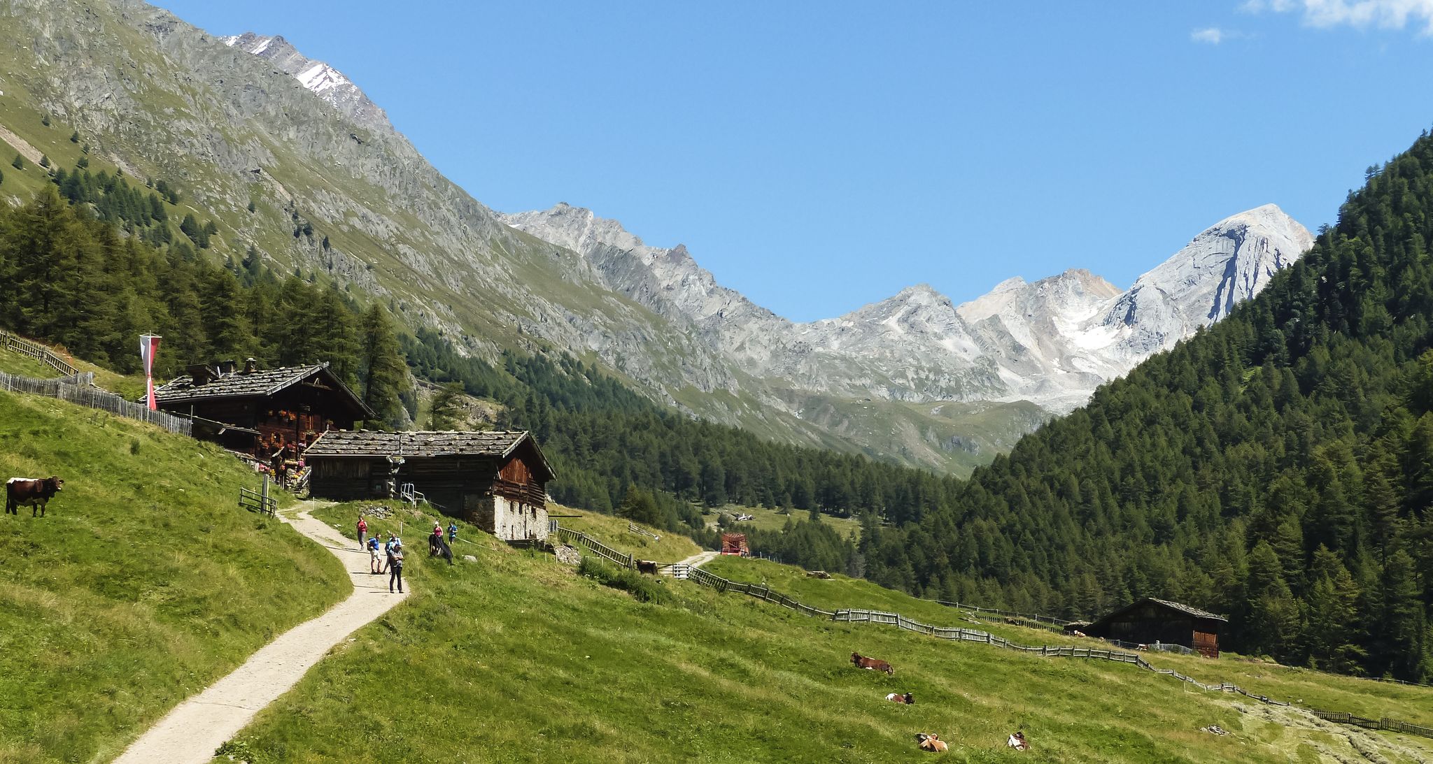
Meraner Höhenweg — in 8 stages through sunny South Tyrol
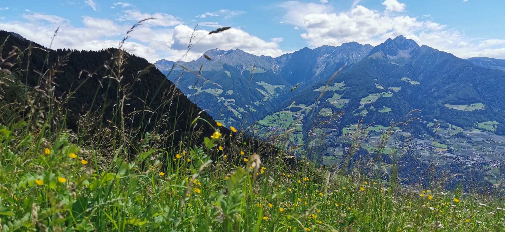
Extraordinary mountains – hiking around Merano in northern Italy
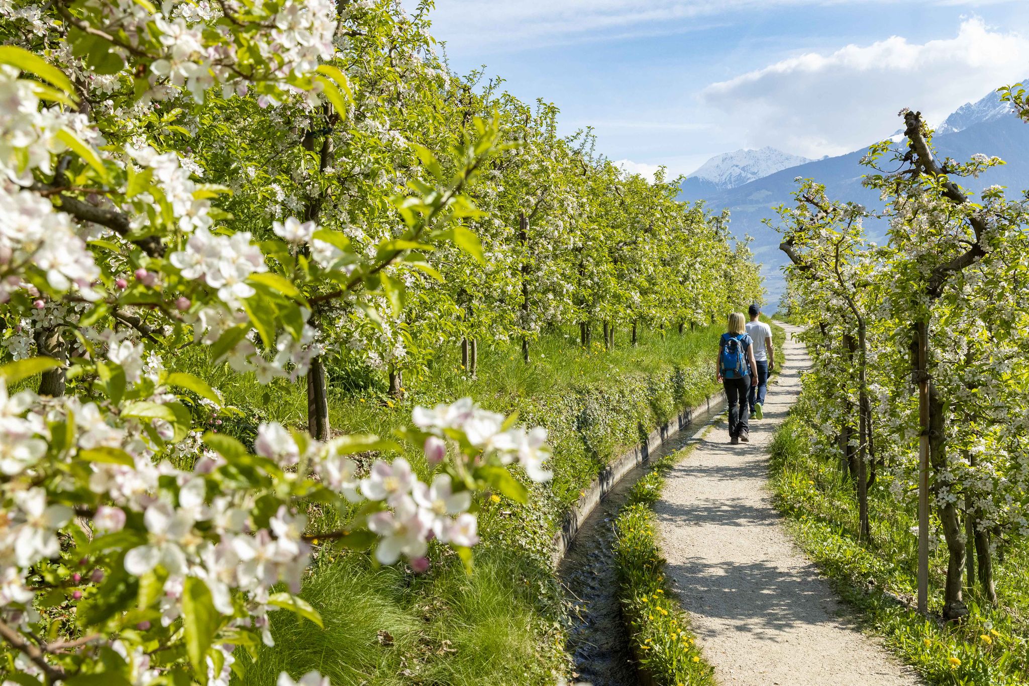
On the trail of the water along Italy’s Marlinger Waalweg
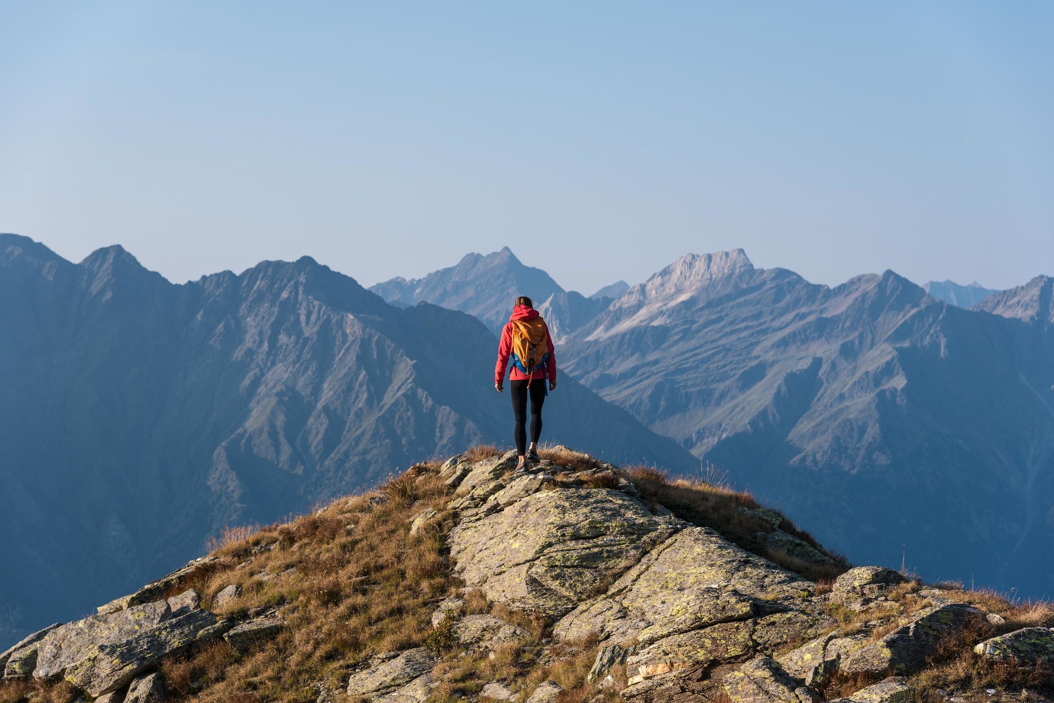
A Mediterranean-alpine paradise – day hikes in Italy’s Naturno

The most beautiful waterfalls of the Alps
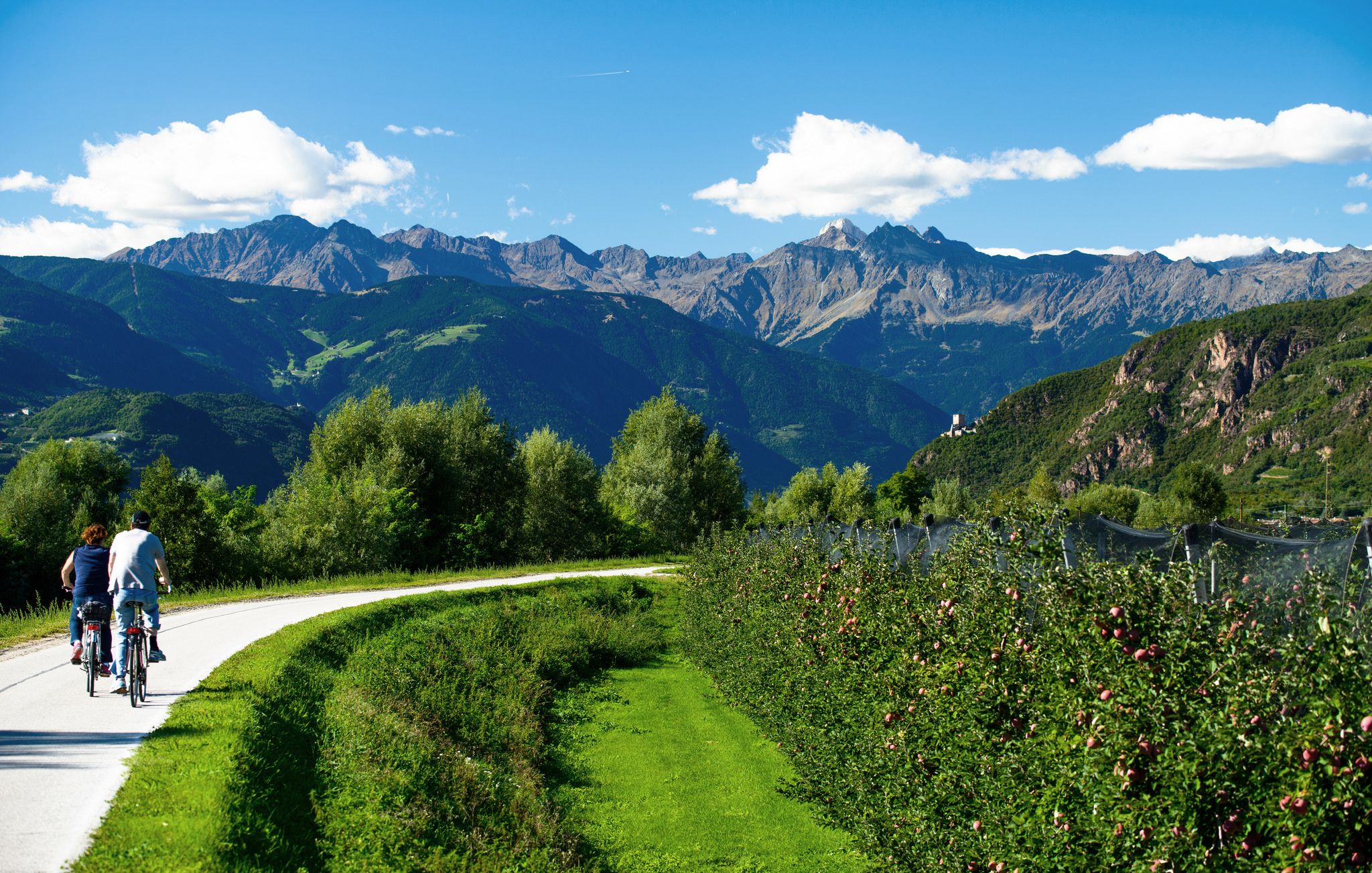
Adige Valley Cycle Path – Through South Tyrol
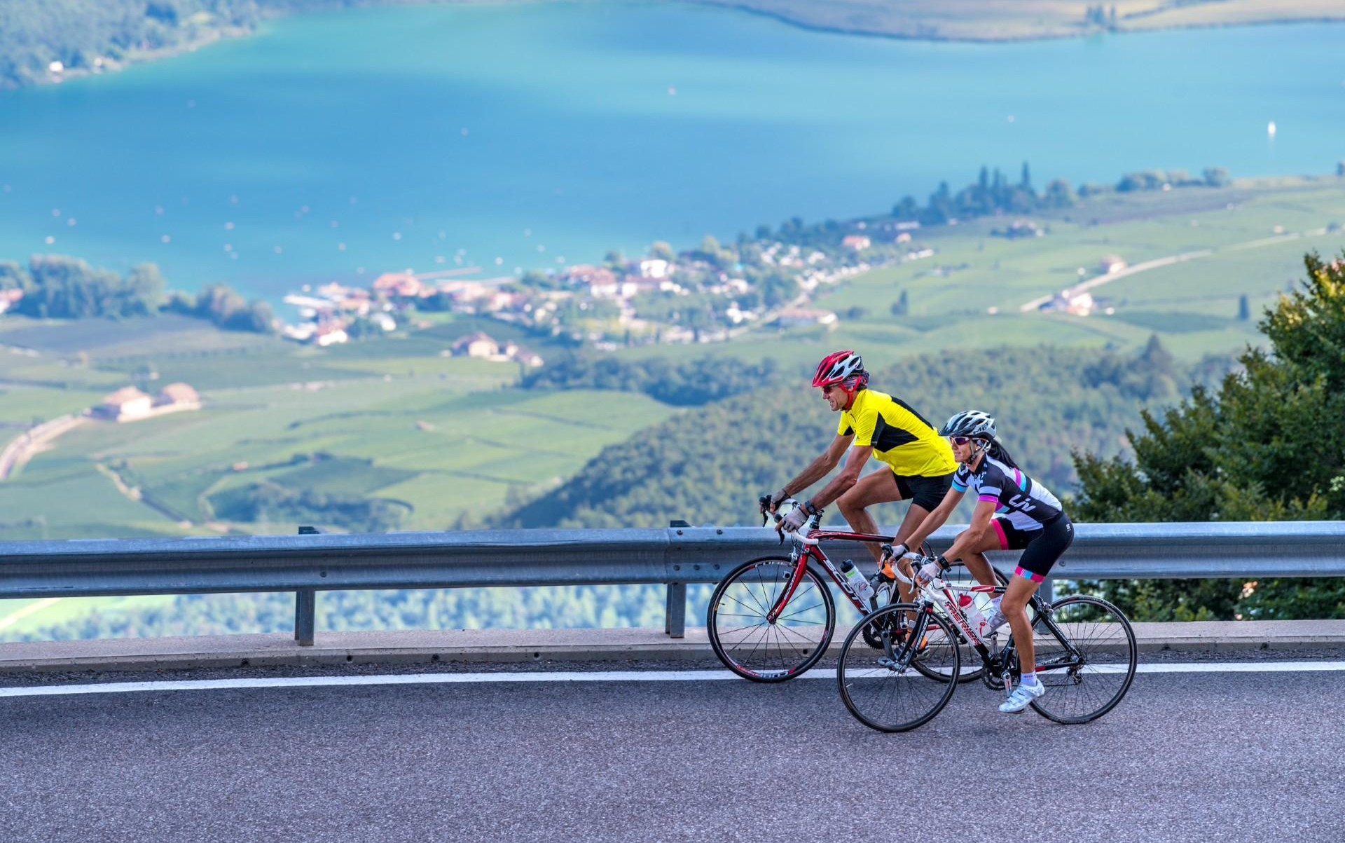
Build up your fitness in the South Tyrolean spring
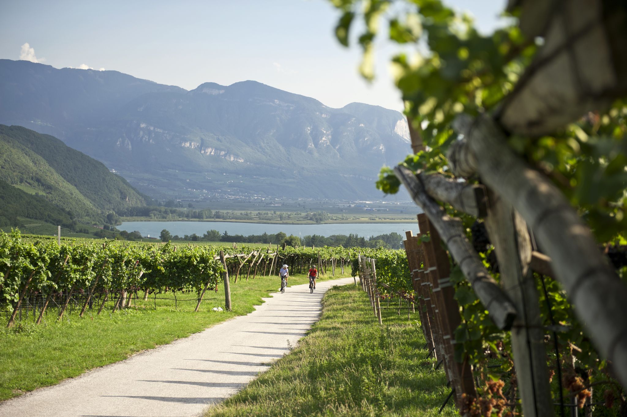
Road cycling through the vineyards of Alto Adige
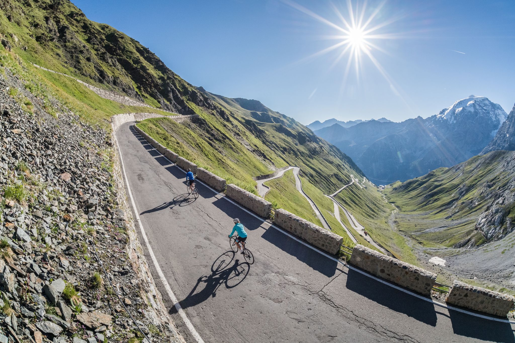
Road biking in South Tyrol
Ride a Roman road in Northern Italy – Claudia Augusta Cycle Path
Other adventures in the Texel Group


Tips from the Community

beautiful cycle path along the river
0
0

Beautiful sculptures in the cool shade. Also benches for sitting. And lots of clover. Who can find the four-leaf one?
0
0

Very nice view of the Vinschgau.
0
0

Good service. Large portions. And to finish, the delicious limoncello crema.
0
0

It's always worth exploring this area! Have fun!
0
0

The Wallburgböden are located high up opposite Juval Castle and at the entrance to the Schnalstal Valley. The views down are impressive, but it is exposed and you should not suffer from vertigo.
0
0

Good footwear and safe walking recommended
0
0

Frequently Asked Questions
How many bus-accessible hiking trails are there in the Texelgruppe region?
The Texelgruppe offers nearly 400 hiking trails that are accessible from bus stations. These routes cater to all fitness levels, with 120 easy, 189 moderate, and 59 difficult options available.
Are there easy, family-friendly bus station hikes in the Texelgruppe?
Yes, the Texelgruppe has over 120 easy trails accessible by bus, many of which are suitable for families. The Passeirer Schildhöfeweg - circular hike is a gentle option, and the Tyrol Culture Trail offers cultural insights along an easy path. The Rifflsee Lake Loop, mentioned in regional research, is also a popular family-friendly choice.
Can I find circular hiking routes accessible by bus in the Texelgruppe?
Absolutely. Many bus-accessible trails in the Texelgruppe are circular, allowing you to return to your starting point without retracing your steps. Examples include the easy Passeirer Schildhöfeweg - circular hike, the moderate Wallburgweg Loop, and for experienced hikers, the challenging Mutspitze and Spronser Lakes Loop.
What are the best times of year for bus-accessible hiking in the Texelgruppe?
The best time for hiking in the Texelgruppe is generally from June to September, when the weather is mild and the alpine flora is in full bloom. Spring and autumn also offer pleasant conditions with fewer crowds, though some higher-altitude trails might still have snow in early spring or late autumn.
Are there any trails that feature waterfalls or high-alpine lakes?
Yes, the Texelgruppe is renowned for its natural water features. The Partschins Waterfall, a spectacular 97-meter cascade, is easily accessible via scenic hikes. For high-alpine lakes, the Mutspitze and Spronser Lakes Loop will take you through the Spronser Lakes district, the largest high-alpine lake area in South Tyrol.
What kind of wildlife can I expect to see on bus-accessible trails?
The Texelgruppe Nature Park is a rich habitat for diverse wildlife. Hikers often spot deer, chamois, and marmots. In higher, more remote areas, ibex can also be seen. The warmer, south-facing slopes are home to heat-loving animals like the western green lizard and praying mantis.
Are there any historic or cultural points of interest along these bus station trails?
Yes, the region has a rich history. The Tyrol Culture Trail is specifically designed to highlight the area's heritage. You can also explore ancient irrigation channels known as Waalwege, such as the Algunder Waalweg, which offer insights into centuries-old agricultural practices and provide gentle, scenic walks.
What do other hikers enjoy most about hiking in Texelgruppe?
The Texelgruppe is highly rated by the komoot community, with an average score of 4.6 stars from over 36,000 ratings. Reviewers often praise the stunning diversity of landscapes, from sub-Mediterranean valleys to high-alpine peaks, the well-maintained trails, and the breathtaking panoramic views, especially from viewpoints like View from Hochmuth of Merano and the Adige Valley.
Are there mountain huts or places to eat along the bus-accessible routes?
Yes, many trails in the Texelgruppe pass by traditional mountain huts and inns where you can rest and enjoy local cuisine. Notable options include Leiteralm, Linthof Mountain Inn, Dursterhof Mountain Inn, and Oberkaseralm.
Can I access parts of the Merano High Mountain Trail from a bus station?
Yes, the famous Merano High Mountain Trail, which encircles the entire nature park, can be accessed at various points that are served by public transport. This allows hikers to experience sections of this long-distance route as day trips. For example, the moderate route From Tirolo Croce to Hochmuth passing through Mutkopf offers a taste of the high-alpine scenery.
Are there any specific trails that offer panoramic views of the Merano Valley?
Many trails in the Texelgruppe provide spectacular views. The Gantkofel Panorama Trail, mentioned in regional research, is known for its vistas over the Merano Valley and surrounding vineyards. Additionally, the View from Hochmuth of Merano and the Adige Valley is a highly recommended highlight accessible via several routes.
Most popular routes in the Texel Group
Most popular attractions in the Texel Group

Get inspired with the komoot mobile app


Explore more
Browse the best Hikes in other regions.
