The best mountain hikes in the Texel Group
4.8
(245)
1,821
hikers
94
hikes
Mountaineering in the Texel Group offers diverse landscapes, from sub-Mediterranean valleys to high-alpine peaks exceeding 3,000 meters. The region is characterized by imposing snow-covered summits, glacier-formed lakes, and varied vegetation zones. It presents challenging terrain with numerous high-alpine routes and via ferratas, alongside ancient irrigation channels known as "Waalwege." This largest nature park in South Tyrol provides a broad spectrum of experiences for mountaineers.
Best mountaineering routes in the Texel Group
- The most popular mountaineering route is Hans Frieden Trail – Oberkaser Alm loop from Gratsch - Quarazze, a 10.9 miles (17.5 km) trail that takes 7 hours 48 minutes to complete, exploring high-alpine terrain and glacial lakes.
- Another top favourite among local mountaineers is Leiteralm – Mutspitze Summit loop from Vellau - Velloi, a difficult 7.2 miles (11.6 km) path, offering panoramic views from a prominent summit.
- Local mountaineers also love the Via Ferrata destination – Nasereithütte loop from Rabland - Rablà, a 5.1 miles (8.2 km) trail leading through challenging via ferrata sections, often completed in about 4 hours 17 minutes.
- Mountaineering in the Texel Group is defined by high-alpine peaks, glacier-formed lakes, and diverse vegetation zones. The network offers options for different ability levels, from moderate ascents to demanding high-alpine routes.
- The routes in Texelgruppe are highly rated by the komoot community with an average score of 4.8 stars from over 320 reviews. More than 2,500 mountaineers have used komoot to explore Texelgruppe's varied terrain.
Last updated: June 24, 2026
5.0
(18)
174
hikers
11.6km
05:49
1,060m
1,060m
Hard mountaineering route. Very good fitness required. Sure-footedness, sturdy shoes and alpine experience required.
4.9
(30)
152
hikers
8.24km
04:17
570m
570m
Hard mountaineering route. Good fitness required. Sure-footedness, sturdy shoes and alpine experience required.

Sign up for free
4.5
(11)
76
hikers
Hard mountaineering route. Very good fitness required. Sure-footedness, sturdy shoes and alpine experience required.
5.0
(6)
74
hikers
11.5km
07:00
1,290m
1,290m
Hard mountaineering route. Very good fitness required. Mostly accessible paths. Sure-footedness required.
4.7
(12)
67
hikers
Hard mountaineering route. Very good fitness required. Sure-footedness, sturdy shoes and alpine experience required.
4.9
(16)
43
hikers
Hard mountaineering route. Good fitness required. Sure-footedness, sturdy shoes and alpine experience required.
4.8
(10)
49
hikers
14.4km
06:43
1,180m
1,180m
Hard mountaineering route. Very good fitness required. Sure-footedness, sturdy shoes and alpine experience required.
5.0
(4)
41
hikers
14.4km
08:02
1,250m
1,250m
Hard mountaineering route. Very good fitness required. Sure-footedness, sturdy shoes and alpine experience required.
4.8
(5)
38
hikers
3.59km
02:56
520m
520m
Hard mountaineering route. Good fitness required. Sure-footedness, sturdy shoes and alpine experience required.
5.0
(3)
37
hikers
Hard mountaineering route. Very good fitness required. Mostly accessible paths. Sure-footedness required.
Get access to more routes and recommendations from other explorers.
Sign up for free
Already have an account?
Our route recommendations are based on thousands of hikes, rides, and runs completed by other people on komoot.
Start today with a free account
Your next adventure awaits.
Login or Signup
Popular around Texelgruppe
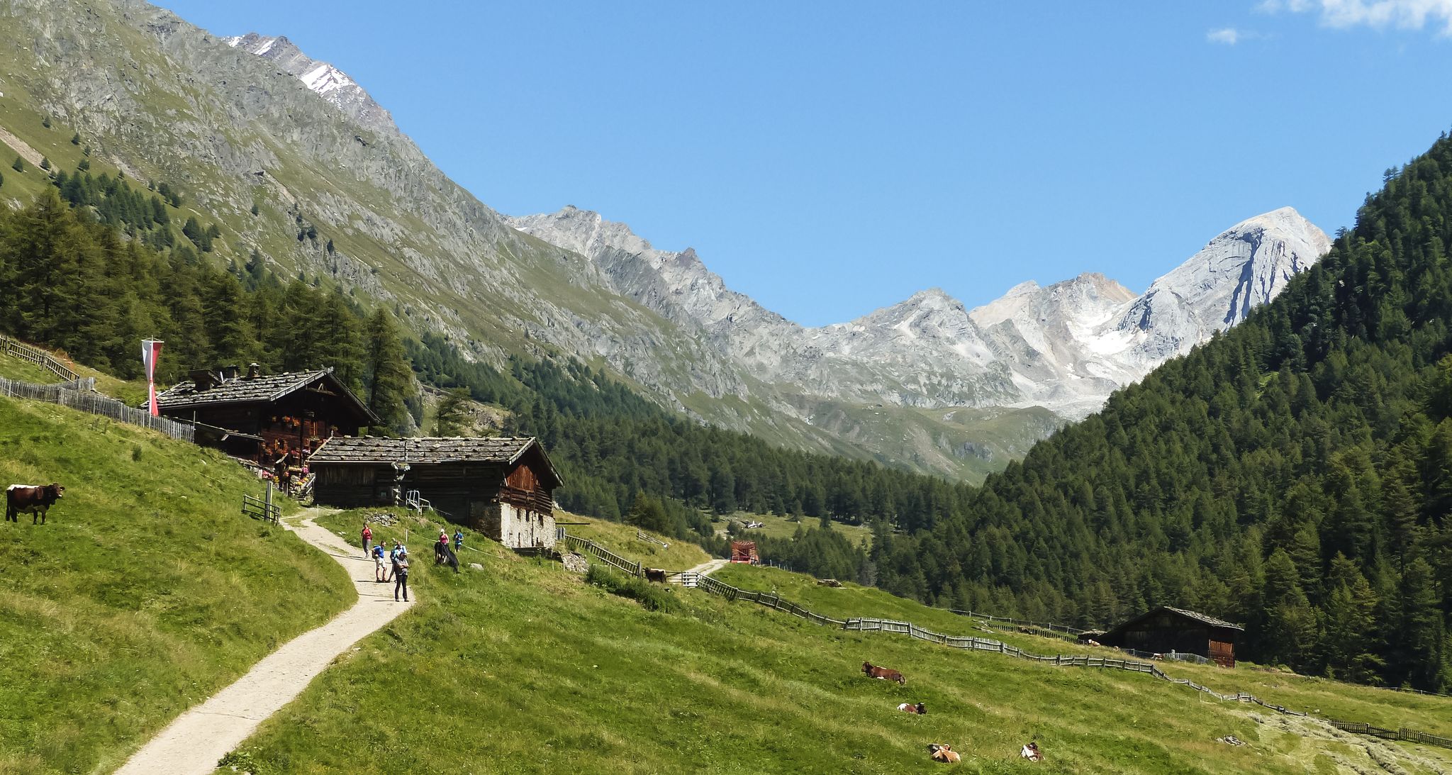
Meraner Höhenweg — in 8 stages through sunny South Tyrol
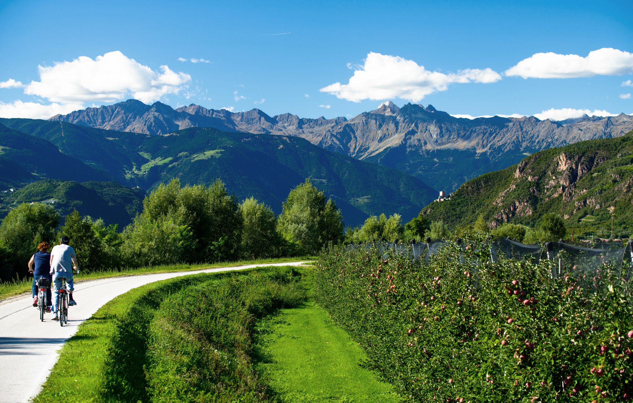
Adige Valley Cycle Path – Through South Tyrol
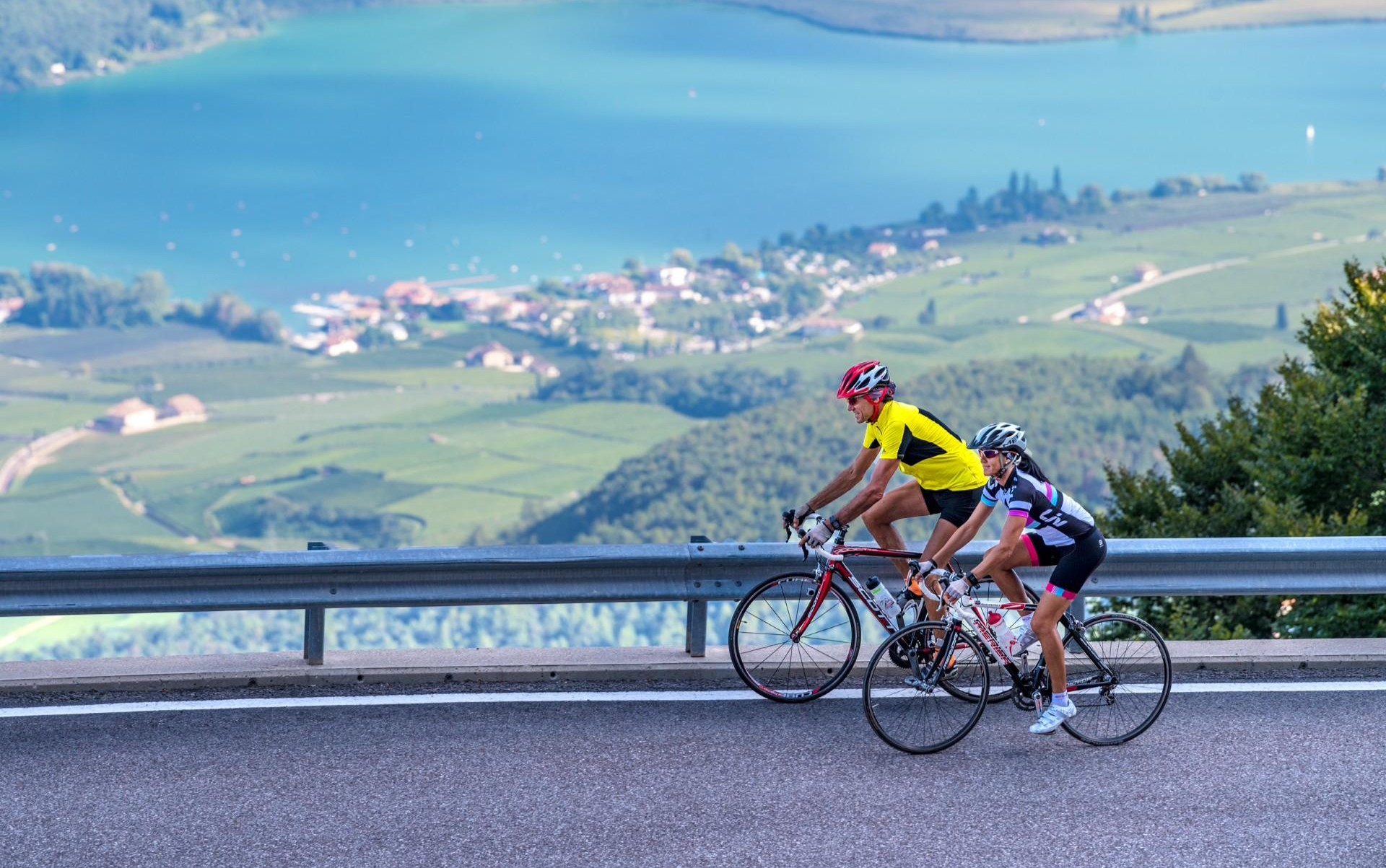
Build up your fitness in the South Tyrolean spring
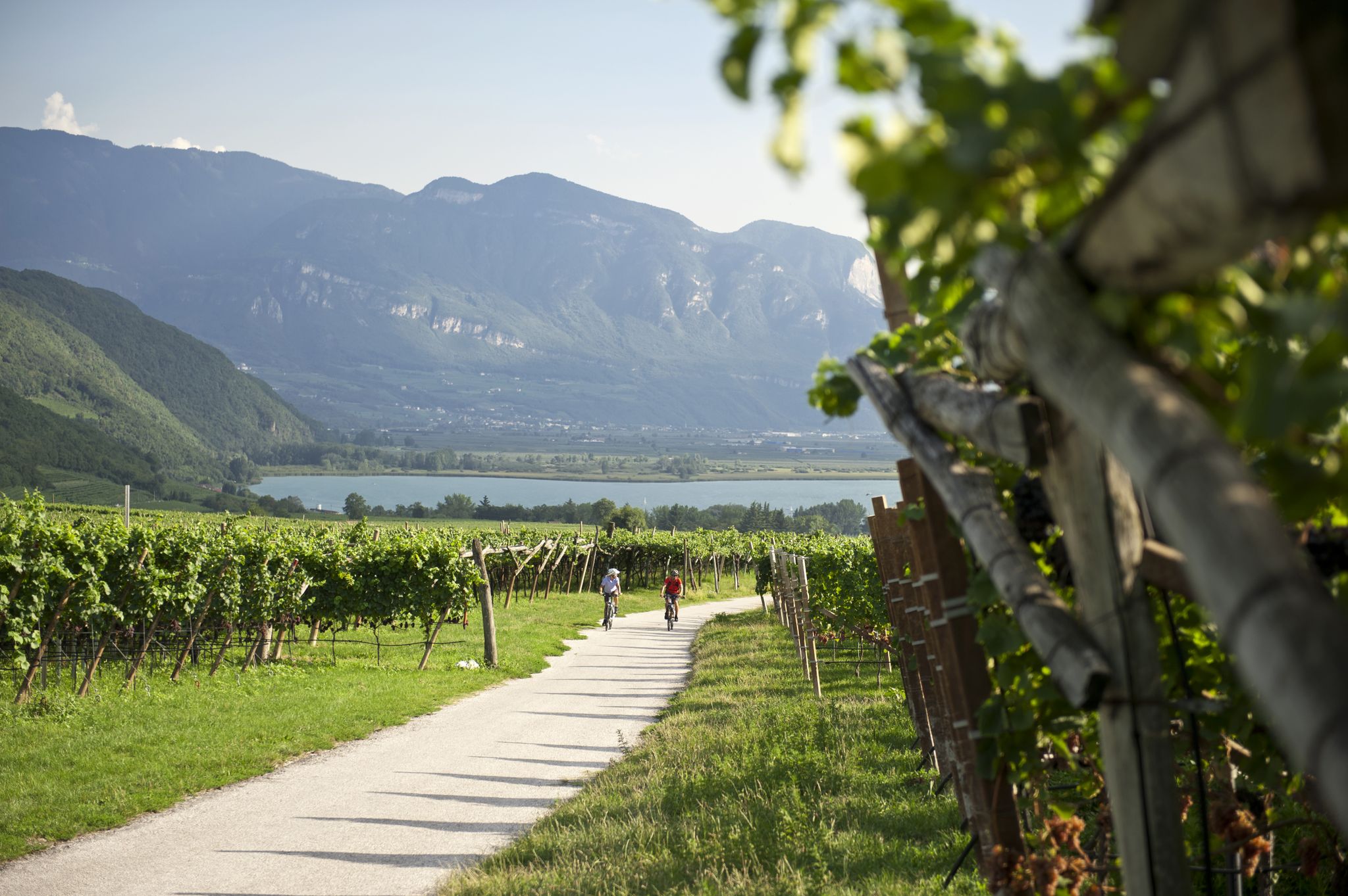
Road cycling through the vineyards of Alto Adige
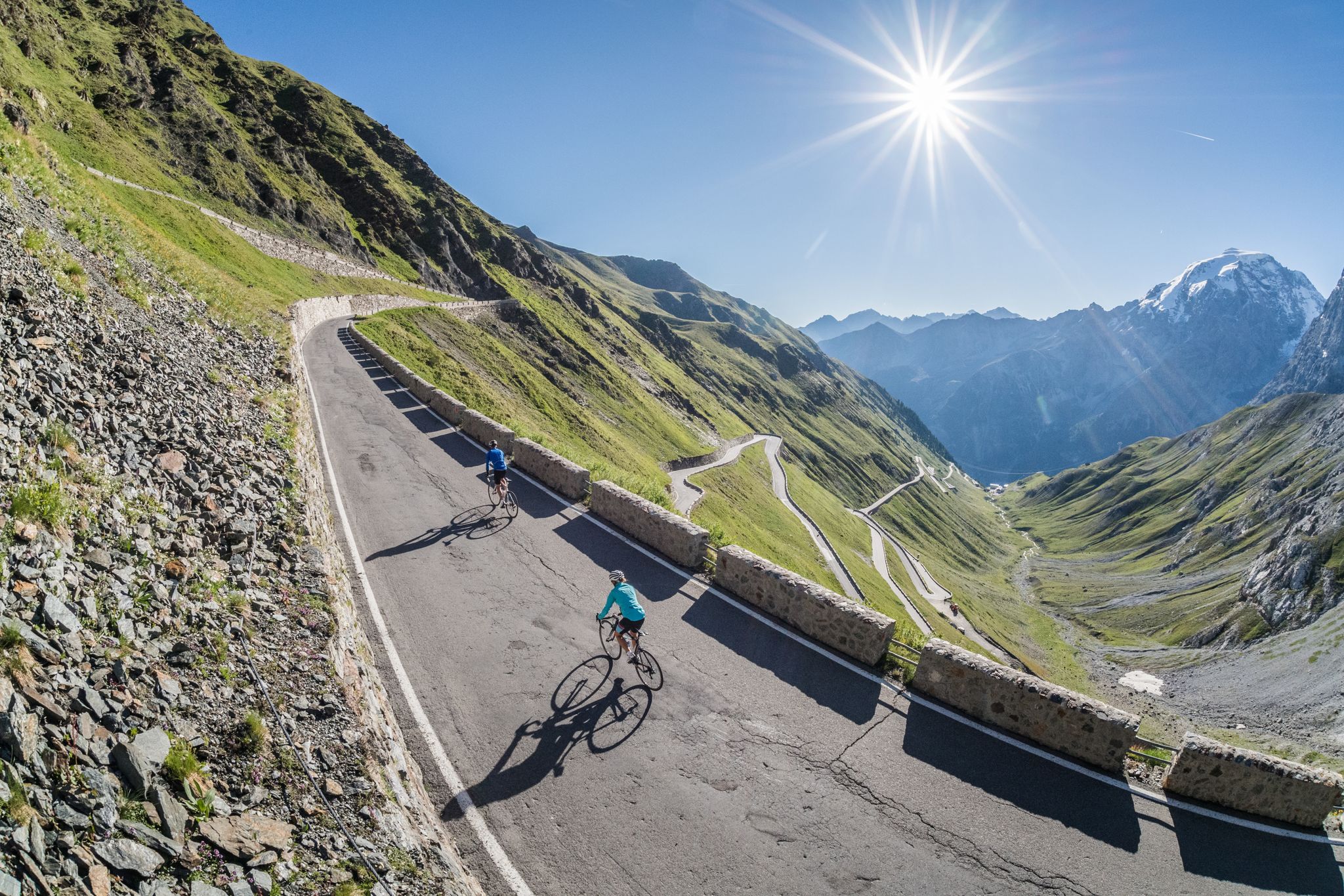
Road biking in South Tyrol
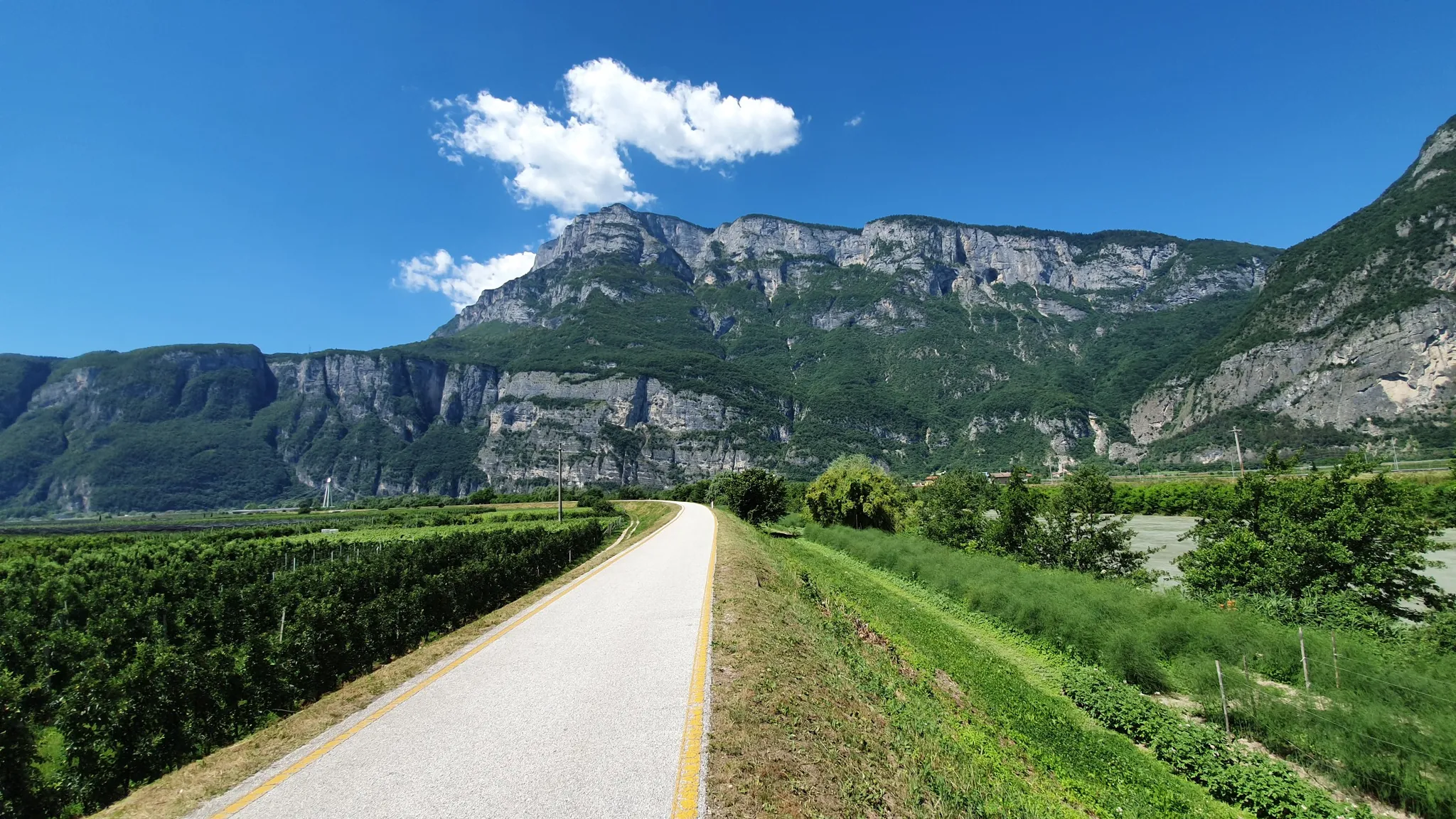
Ride a Roman road in Northern Italy – Claudia Augusta Cycle Path
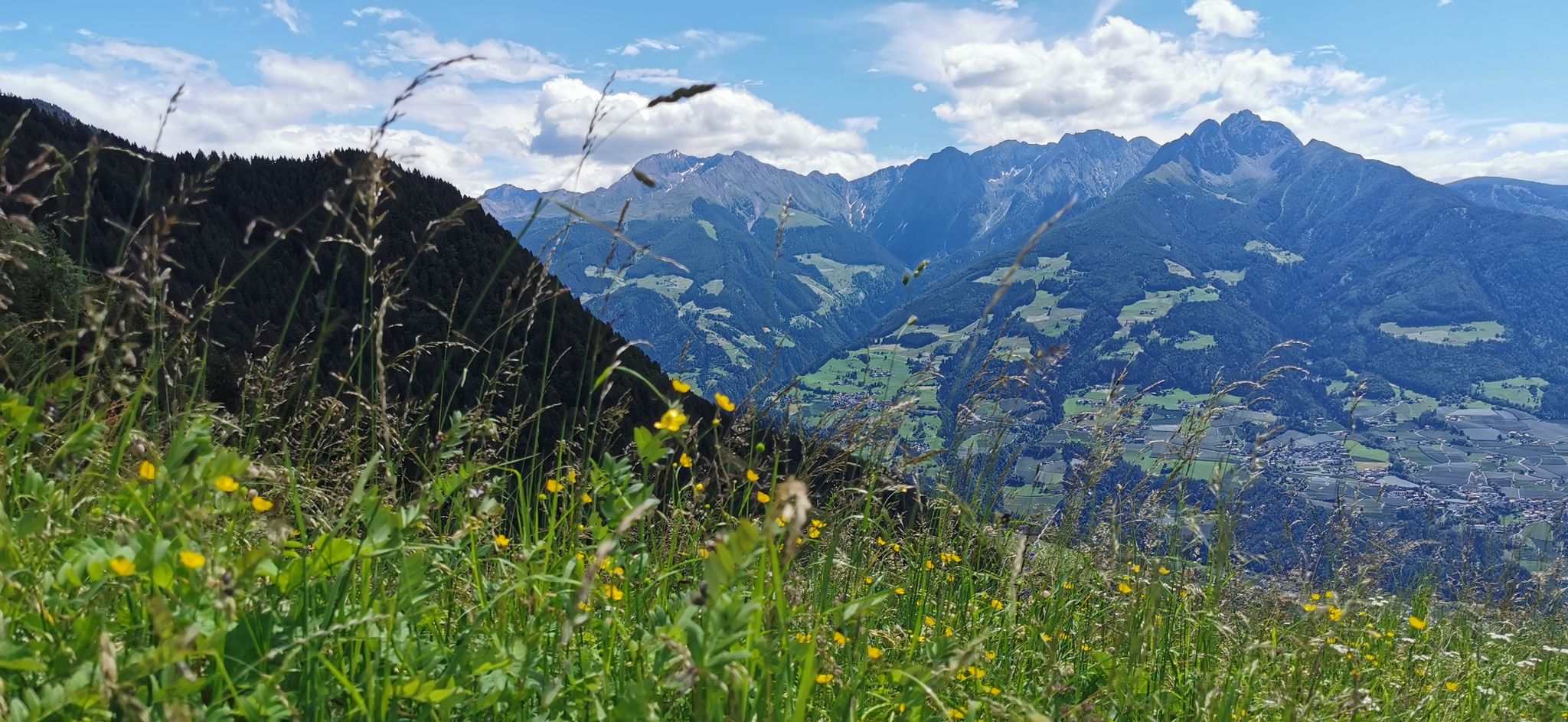
Extraordinary mountains – hiking around Merano in northern Italy
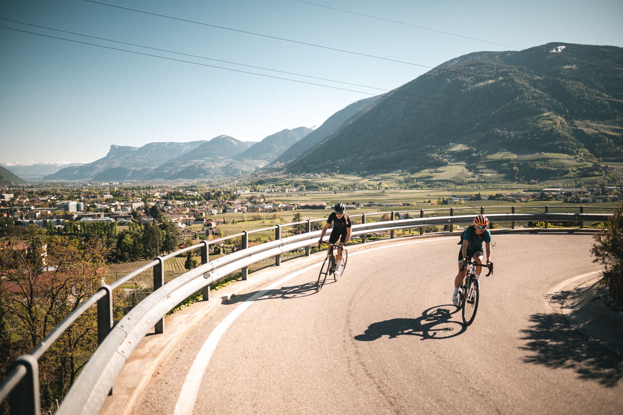
So much variety, so much South Tyrol
Between rocks and glaciers in Italy – Tour of Ortles by MTB
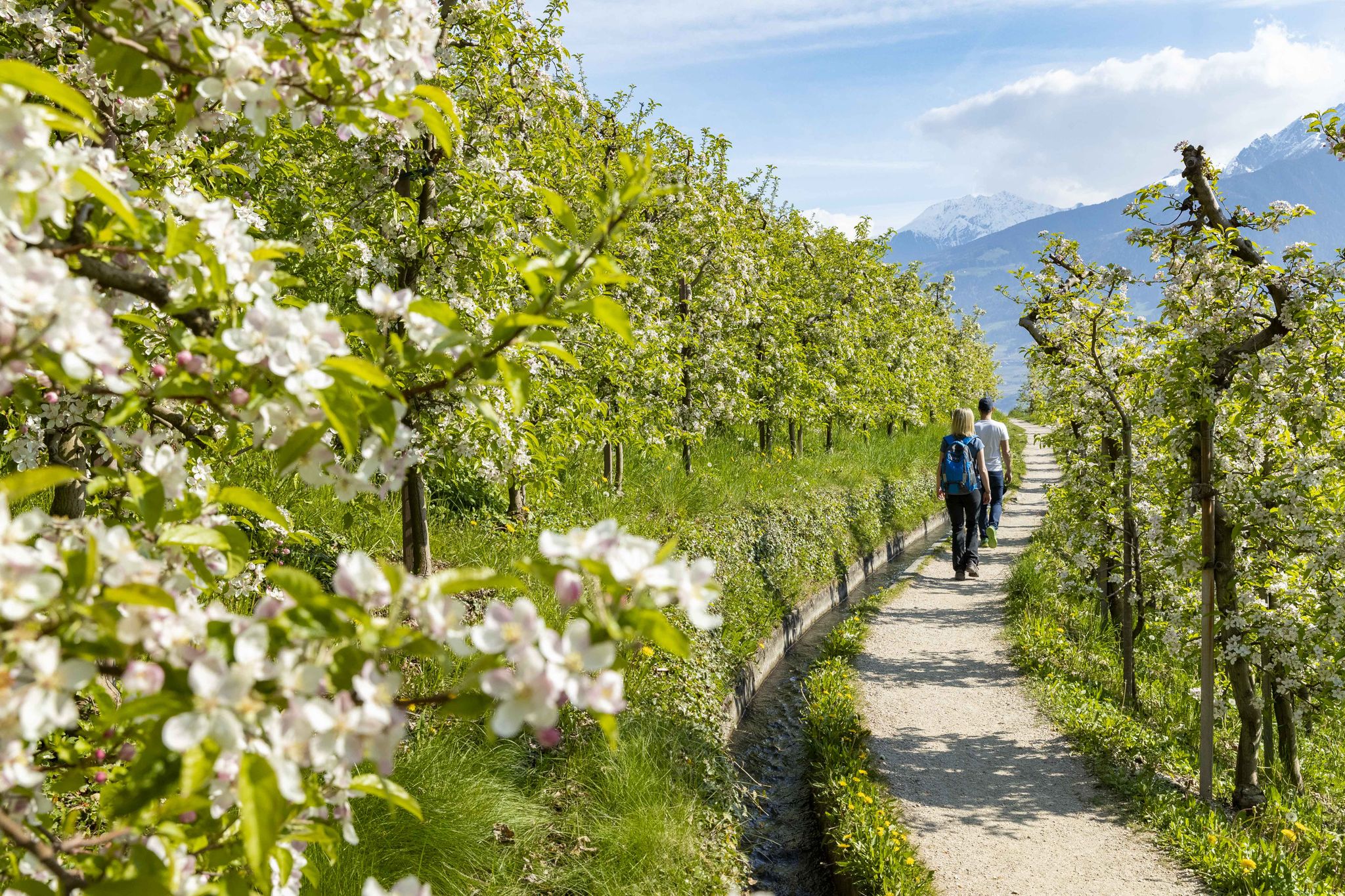
On the trail of the water along Italy’s Marlinger Waalweg
Other adventures in the Texel Group


Tips from the Community


is scenically wonderfully beautiful, good food, friendly service and is still open in October!
0
0

Beautiful view of Merano – especially enjoyable if you've hiked to it and aren't taking the cable car up. There are several other beautiful viewpoints in the area if it's still too crowded here.
3
0

Simply enjoy
0
0

Here everyone can be a mountain king on the stone throne.
0
0

Fantastically beautiful, sturdy shoes and appropriate clothing are recommended. Surefootedness and a head for heights are essential.
0
0

At the level of the guesthouse of the same name, a narrow, approximately 150-meter-long path leads directly to the upper part of the waterfall. From there, you have a fantastic view of the roaring waters and are up close to them... beautiful 😍
1
0

The Pfitschkopf is a worthwhile destination for hikers, as the ascent itself leads through stunning natural scenery. Surefootedness is essential, especially in the upper section. You'll be rewarded with a fantastic panorama—ideal for a long summit break!
0
0
Frequently Asked Questions
How many mountaineering routes are available in the Texel Group?
The Texel Group offers a wide array of mountaineering experiences, with over 100 routes documented on komoot. These routes cater to various skill levels, from moderate ascents to demanding high-alpine challenges.
What is the best time of year for mountaineering in the Texel Group?
The ideal time for mountaineering in the Texel Group is generally during the summer months, from June to September, when the weather is mild and conditions are most favorable. Spring and autumn can also offer pleasant experiences with fewer crowds, though some higher-altitude routes might still have snow or present colder conditions.
What kind of terrain can I expect on mountaineering routes in the Texel Group?
The Texel Group boasts incredibly diverse terrain, transitioning from sub-Mediterranean valleys to high-alpine peaks exceeding 3,000 meters. You'll encounter imposing snow-covered summits, glacier-formed lakes, lush forests, and expansive alpine grasslands. Some routes also feature ancient irrigation channels known as 'Waalwege' for gentler sections, while others include challenging via ferratas and exposed ridges.
Are there any impressive waterfalls to see along mountaineering routes in the Texel Group?
Yes, the Texel Group is home to several stunning waterfalls. A notable one is the Parcines Waterfall (Partschinser Wasserfall), which is particularly impressive during the spring snowmelt. You can also find other waterfalls along the Passer River, offering beautiful natural spectacles.
What natural attractions can I explore in the Texel Group besides the peaks?
Beyond its majestic peaks, the Texel Group offers a wealth of natural attractions. The high-alpine Spronser Lakes area, South Tyrol's largest lake district, features ten glacier-formed lakes. You can also explore dramatic gorges like the Passer Gorge or the Gorge of the 1,000 Steps, which often include impressive suspension bridges.
Are there any circular mountaineering routes in the Texel Group?
Yes, many mountaineering routes in the Texel Group are designed as loops, allowing you to start and end at the same point. For instance, the Hans Frieden Trail – Oberkaser Alm loop from Gratsch - Quarazze is a popular option exploring high-alpine terrain and glacial lakes. Another excellent circular route is the Leiteralm – Mutspitze Summit loop from Vellau - Velloi, offering panoramic views.
What are some challenging high-alpine routes in the Texel Group?
For experienced mountaineers seeking a challenge, the Texel Group provides numerous demanding high-alpine routes. The Via Ferrata destination – Nasereithütte loop from Rabland - Rablà includes challenging via ferrata sections. Another strenuous option is the View from Hochwool Via Ferrata – Höflhof loop from Naturns - Naturno, which offers incredible vistas after a demanding ascent.
Are there any moderate mountaineering routes suitable for those building experience?
While many routes are challenging, there are also moderate options perfect for those gaining mountaineering experience. The Mutkopf Inn – Mutspitze Summit loop from Vellau - Velloi is a moderate route that still offers significant elevation gain and rewarding views without the extreme technical demands of some other trails.
Is public transport available to reach starting points for mountaineering routes in the Texel Group?
Yes, public transport options are available in the Texel Group region, making it possible to reach many starting points for mountaineering routes. Villages like Moos/Moso serve as excellent hubs for accessing the Texelgruppe Nature Park, and local bus services often connect to trailheads. It's advisable to check local timetables for specific routes.
What do other mountaineers appreciate most about the Texel Group?
The Texel Group is highly rated by the komoot community, with an average score of 4.8 stars from over 320 reviews. Mountaineers frequently praise the region's diverse landscapes, from sub-Mediterranean valleys to high-alpine peaks, and the stunning natural attractions like glacier-formed lakes and powerful waterfalls. The well-maintained network of trails and the variety of experiences for different skill levels are also highly valued.
Are there options for less crowded mountaineering experiences in the Texel Group?
While popular routes can attract many visitors, the extensive network of trails in the Texel Group offers opportunities for quieter experiences. Exploring routes during the shoulder seasons (late spring, early autumn) or choosing less-known trails can lead to a more secluded adventure. For example, the Oberkaser Alm – Lake Casera loop from Schutzhaus Hochgang - Rifugio Casa del Valico offers a challenging high-alpine journey that might be less frequented than some of the more accessible trails.
What are some routes that offer exceptional panoramic views in the Texel Group?
Many routes in the Texel Group provide breathtaking panoramic views due to the region's high-alpine character. The View of Merano and Dorf Tirol – Mutkopf Inn loop from Dorf Tirol - Tirolo is renowned for its expansive vistas over the valleys and surrounding peaks. Another route, Pfitschkopf (2,120 m) – Obisellalm loop from Riffian, Obersthöfe - Rifiano, Obersthöfe, also offers stunning high-altitude perspectives.
Most popular routes in the Texel Group
Most popular attractions in the Texel Group

Get inspired with the komoot mobile app


Explore more
Browse the best Mountain Hikes & Routes in other regions.
