The best waterfall hikes and walks in the Texel Group
4.6
(35422)
162,561
hikers
29
hikes
Waterfall hiking trails in the Texel Group traverse a diverse landscape, ranging from sub-Mediterranean valleys to high-alpine peaks. The region is characterized by varied vegetation zones, including mixed forests, alpine grasslands, and arid steppes. Numerous glacier-formed lakes and prominent peaks exceeding 3,000 meters define the higher elevations. The area is also home to spectacular natural waterfalls, such as the Partschins Waterfall, which are particularly impressive during spring snowmelt.
Best waterfall hiking trails in the Texel Group
- The most popular waterfall…
Last updated: May 10, 2026
4.7
(955)
3,301
hikers
13.5km
04:26
610m
610m
Moderate hike. Good fitness required. Mostly accessible paths. Sure-footedness required.
4.7
(437)
1,508
hikers
8.61km
02:57
440m
440m
Moderate hike. Good fitness required. Mostly accessible paths. Sure-footedness required.

Sign up for free
4.8
(212)
1,036
hikers
Moderate hike. Good fitness required. Mostly accessible paths. Sure-footedness required.
4.8
(4)
16
hikers
5.99km
02:54
490m
490m
Hike the moderate 3.7-mile Partschins Waterfall Trail 8B to experience South Tyrol's powerful 97-meter waterfall and scenic woodlands.
4.7
(150)
736
hikers
Moderate hike. Good fitness required. Mostly accessible paths. Sure-footedness required.
Get access to more routes and recommendations from other explorers.
Sign up for free
Already have an account?
Our route recommendations are based on thousands of hikes, rides, and runs completed by other people on komoot.
Start today with a free account
Your next adventure awaits.
Login or Signup
Popular around Texelgruppe
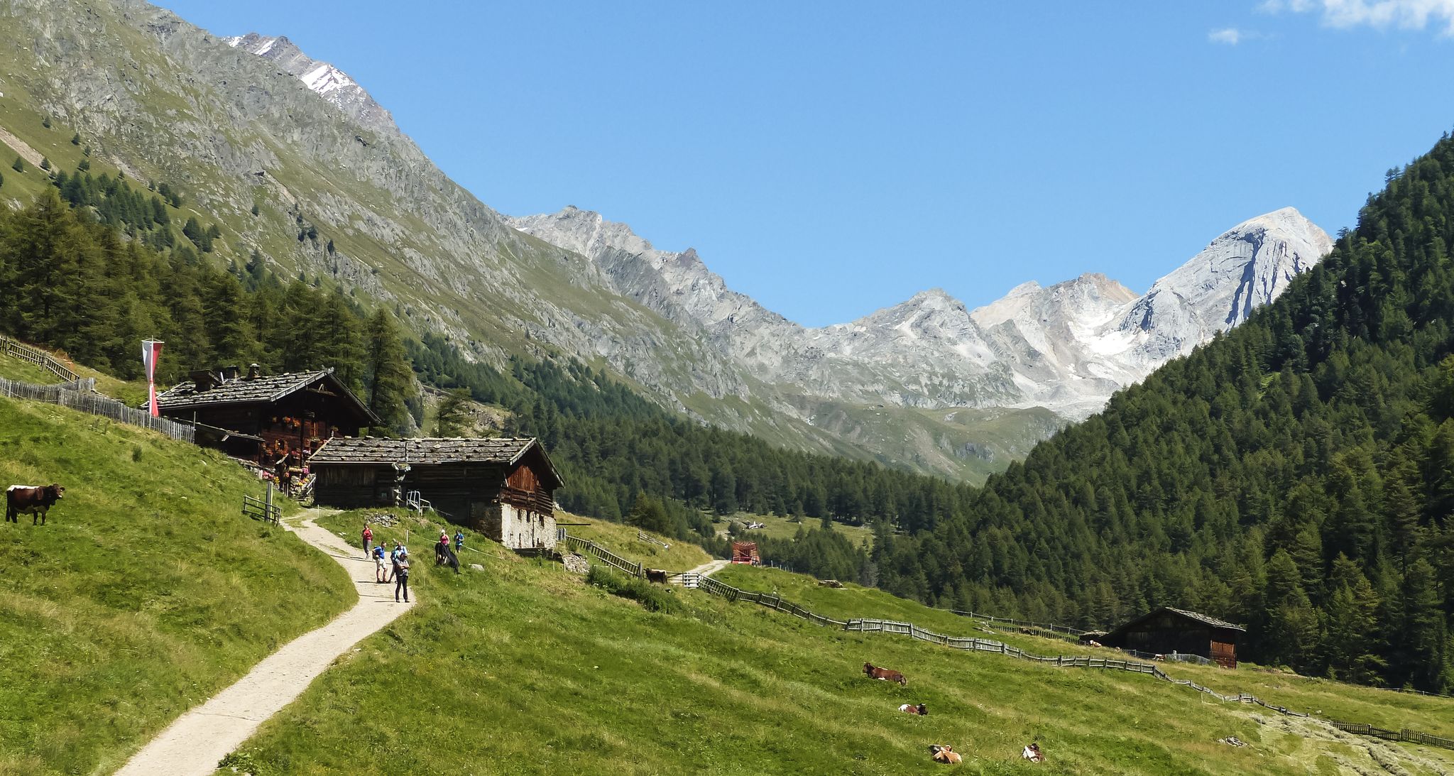
Meraner Höhenweg — in 8 stages through sunny South Tyrol
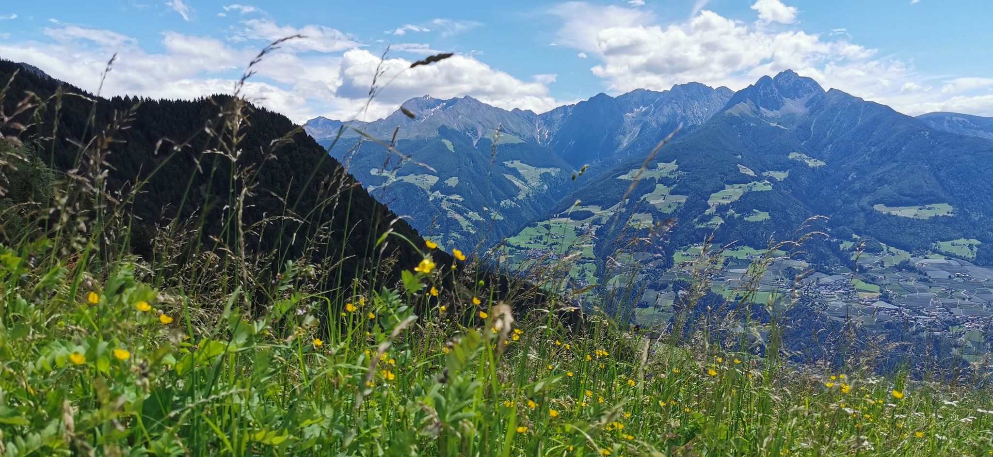
Extraordinary mountains – hiking around Merano in northern Italy
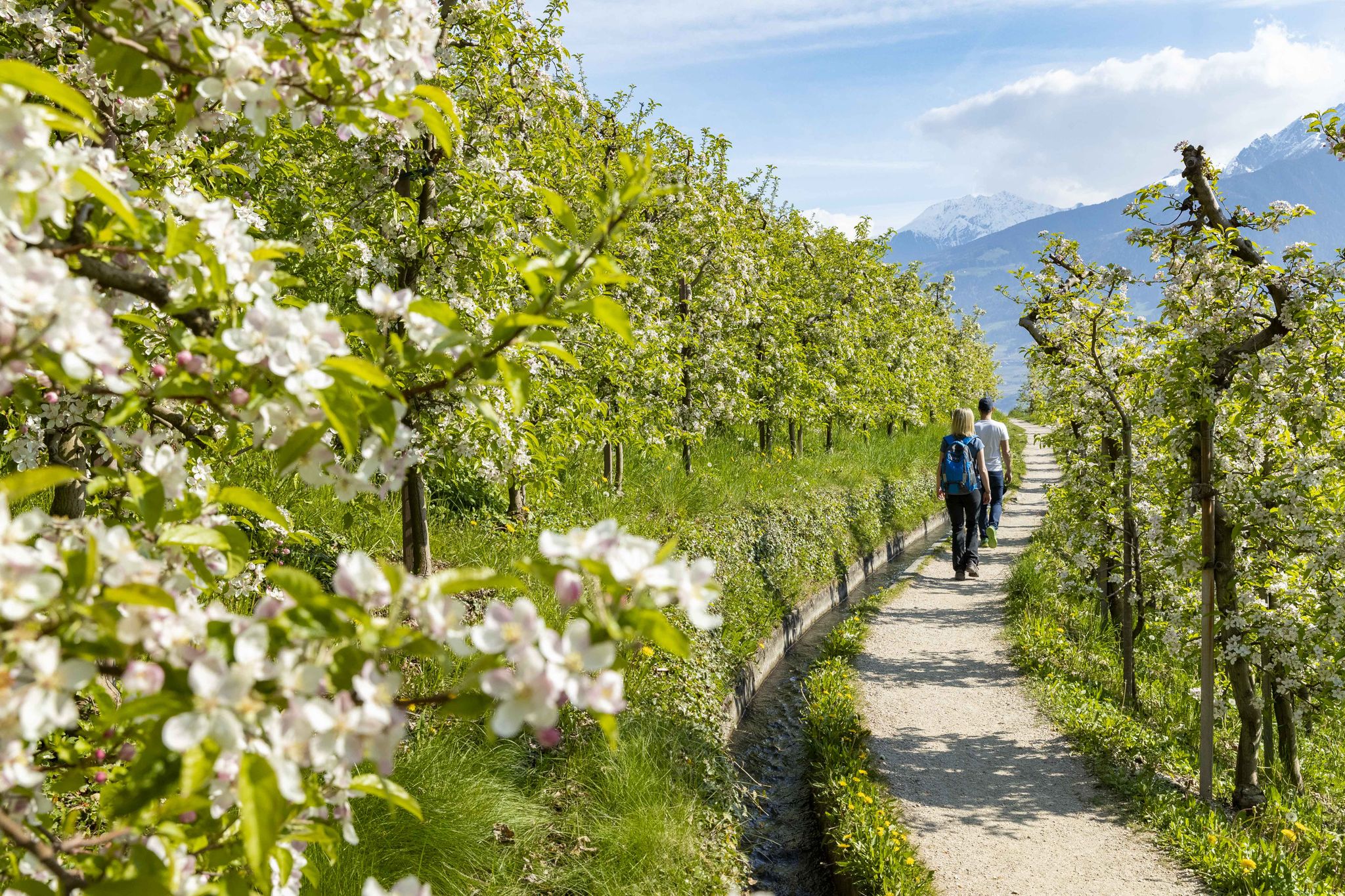
On the trail of the water along Italy’s Marlinger Waalweg
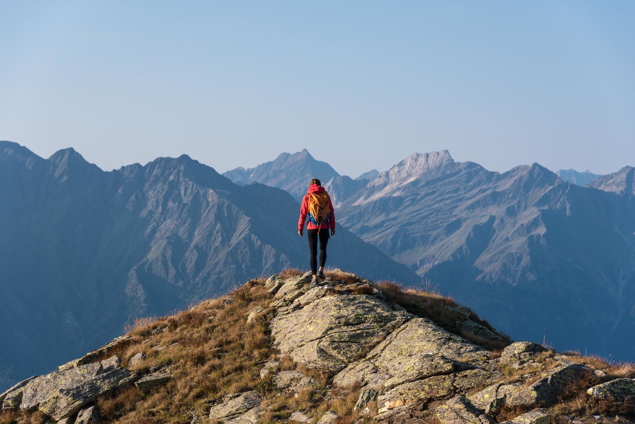
A Mediterranean-alpine paradise – day hikes in Italy’s Naturno

The most beautiful waterfalls of the Alps
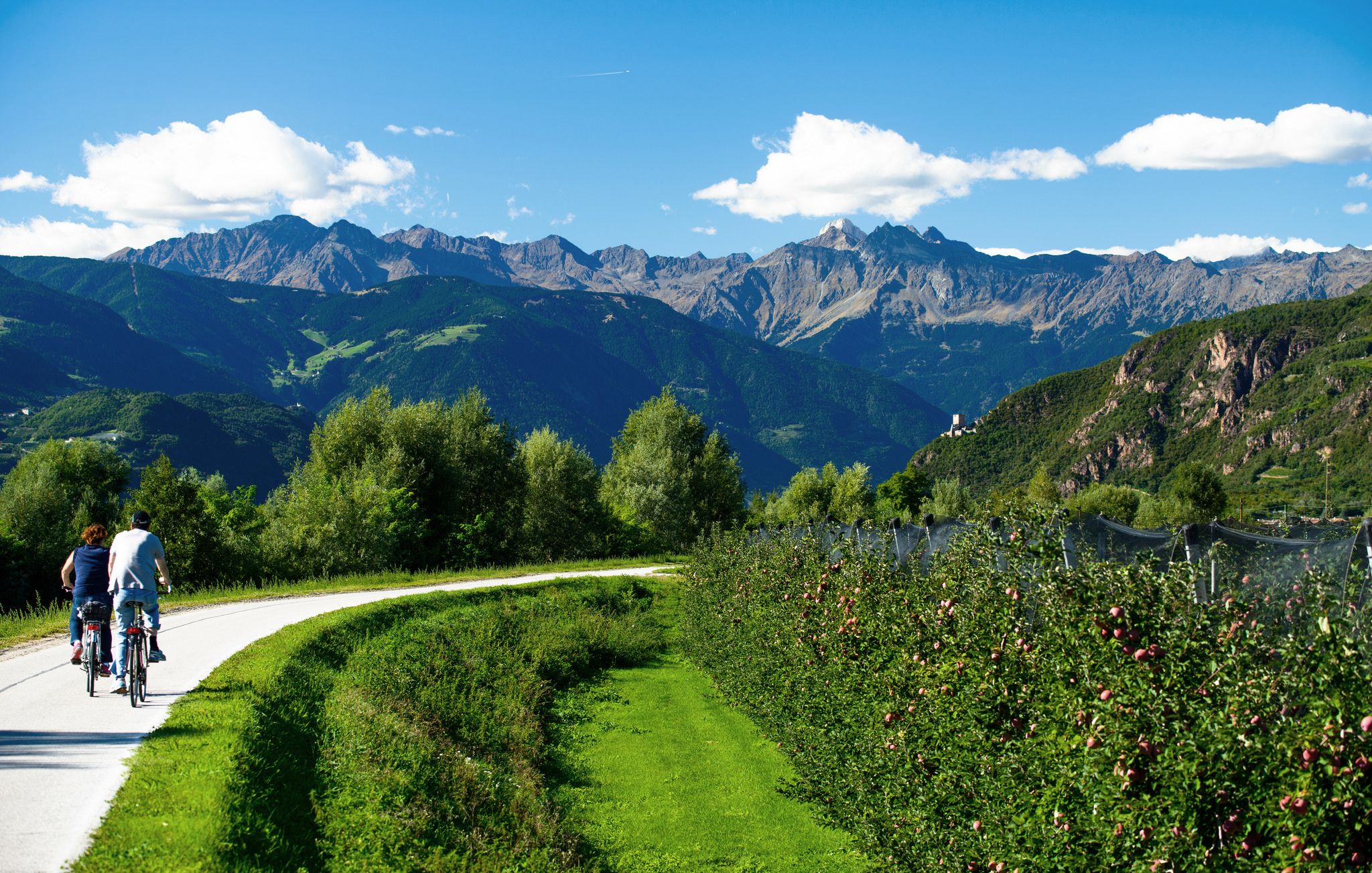
Adige Valley Cycle Path – Through South Tyrol
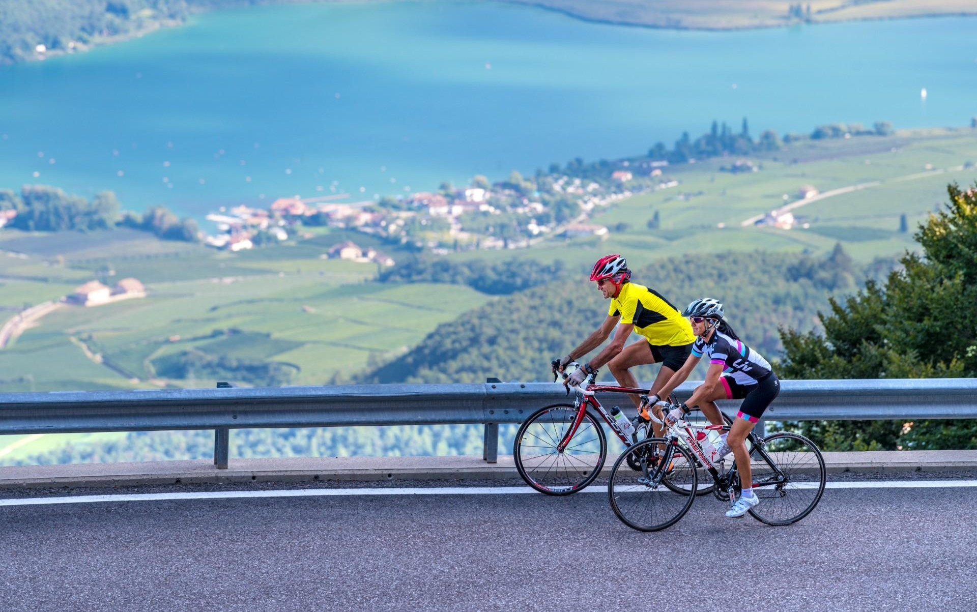
Build up your fitness in the South Tyrolean spring
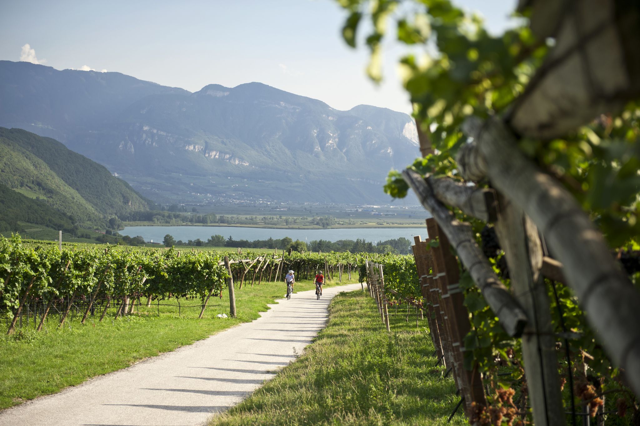
Road cycling through the vineyards of Alto Adige
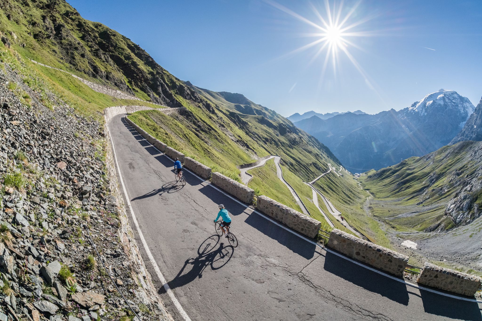
Road biking in South Tyrol
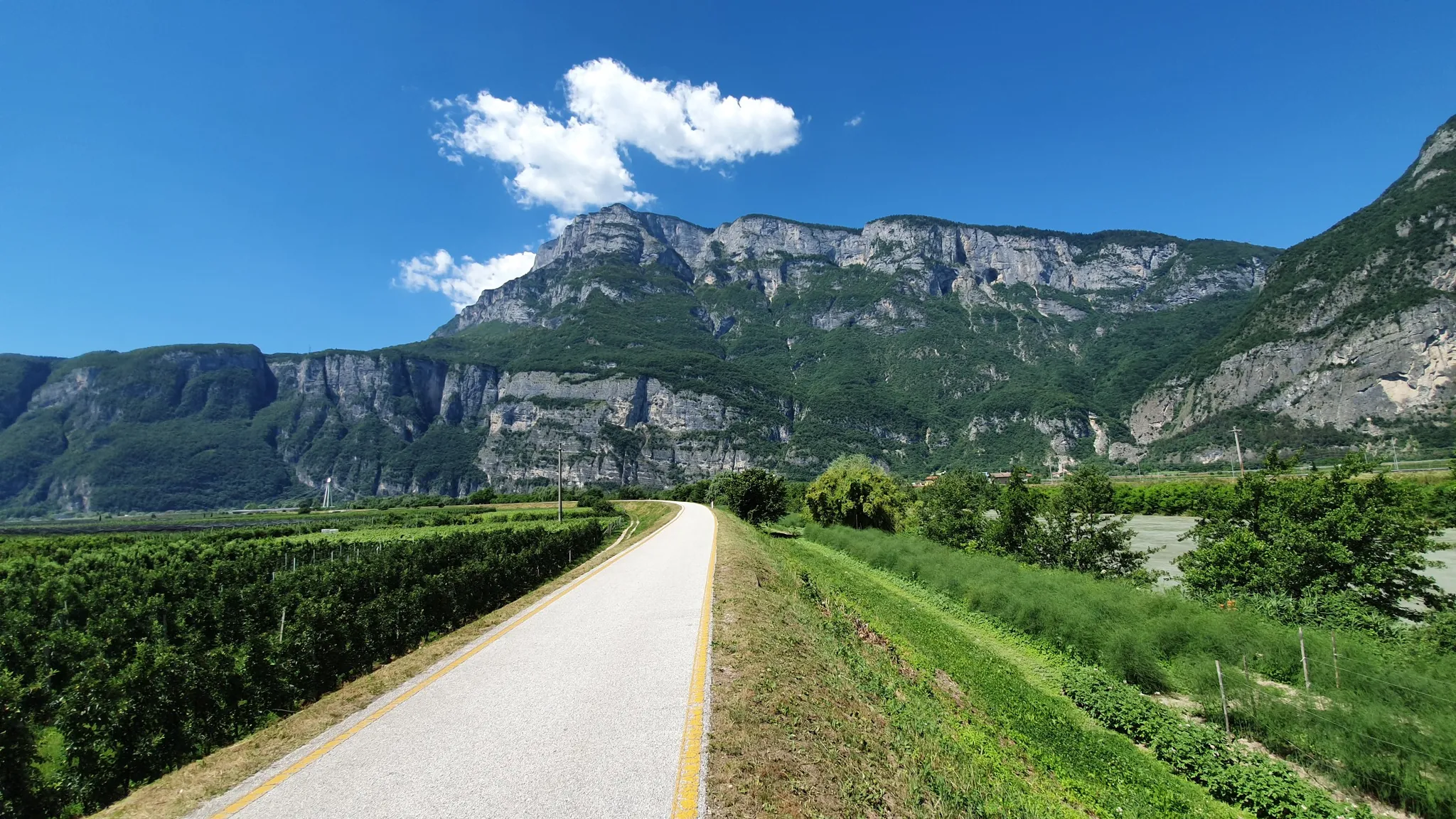
Ride a Roman road in Northern Italy – Claudia Augusta Cycle Path
Other adventures in the Texel Group


Tips from the Community

The circular hike along the Kuenser Waalweg (Waal Path) starts at the Ungericht Inn and leads along the Lower Waalweg toward the Longfall Inn. The historic Kuenser Waal, which originates in the Finelebach stream above the Spronser Lakes, has existed since 1386 and continues to shape the landscape today. While the Lower Waalweg is an easy hike with no visible watercourse, the Upper Waalweg rewards you with a romantic watercourse and beautiful views of the valley head. Source and download of the GPX file: https://www.almenrausch.at/touren/detail/kuenser-waalweg-mit-gasthaus-longfall/
2
0
At various points along the Kuenser Waalweg, in clear weather, beautiful views extend into the Merano valley basin.
2
0
This bridge crosses the rushing Spronser Bach.
2
0

From here the road goes downhill.
2
0
A place to rest and enjoy the sound.
0
0

A very beautiful and uncrowded Waalweg
2
0
Frequently Asked Questions
How many waterfall hiking trails are available in the Texelgruppe region?
The Texelgruppe region offers 30 dedicated waterfall hiking trails. These routes range from easy strolls to more challenging high-alpine paths, ensuring options for various fitness levels.
What is the best time of year to experience the waterfalls in Texelgruppe?
The waterfalls in Texelgruppe, particularly the spectacular Partschins Waterfall, are most impressive during the spring snowmelt. This is when they carry the most water, offering a truly powerful display. However, they are beautiful throughout the warmer months.
Are there any easy waterfall hikes suitable for beginners or families in Texelgruppe?
Yes, Texelgruppe has 4 easy waterfall hiking trails. While specific 'easy' waterfall routes aren't detailed, many paths along the historic Waalwege offer gentle gradients and scenic views, often passing by or leading to waterfall viewpoints. These are generally suitable for families.
What kind of terrain can I expect on waterfall hikes in Texelgruppe?
Waterfall hikes in Texelgruppe traverse a diverse landscape. You can expect varied terrain ranging from sub-Mediterranean valleys to high-alpine peaks. Trails often feature mixed forests, alpine grasslands, and historic irrigation channels known as Waalwege, which provide relatively flat and scenic paths. Some routes, especially those leading to higher waterfalls, may involve more significant elevation changes.
Are there any circular routes that include waterfalls in Texelgruppe?
Yes, many waterfall hikes in Texelgruppe are designed as circular routes. For example, the Sponserbach Waterfall – Kuenser Waalweg loop from Merano - Meran is a popular moderate 12.6 km loop. Another option is the Partschins High Trail – View of Partschins Waterfall loop from Partschins - Parcines, which offers great views of the Partschins Waterfall.
What other natural features or landmarks can I see near the waterfall trails?
Beyond the waterfalls, Texelgruppe is rich in natural beauty and historical sites. You can explore the region's numerous glacier-formed lakes, such as the Spronser Lakes, or discover historic castles like Tyrol Castle (Schloss Tirol). Many trails also follow ancient irrigation channels, known as Waalwege, offering unique insights into the region's heritage.
What do other hikers say about the waterfall trails in Texelgruppe?
The hiking routes in Texelgruppe are highly regarded by the komoot community, holding an average rating of 4.6 stars from over 36,000 reviews. Hikers frequently praise the diverse landscapes, well-maintained paths, and the stunning natural beauty, especially the impressive waterfalls and high-alpine lakes.
Are there any challenging waterfall treks for experienced hikers?
Yes, Texelgruppe offers 5 difficult waterfall hiking trails for those seeking a challenge. These routes often lead into high-alpine terrain, featuring significant elevation gains and rugged paths. While specific difficult waterfall routes are not listed here, the region's high summits like Roteck or Texelspitze offer demanding treks with potential waterfall views along the way.
Can I bring my dog on the waterfall hiking trails in Texelgruppe?
Generally, dogs are welcome on hiking trails in Texelgruppe, but it's always advisable to keep them on a leash, especially in nature park areas and near wildlife. Always check specific trail regulations or local signage, as some protected areas or certain sections might have restrictions.
Are there any cafes or places to eat near the waterfall hikes?
While specific cafes directly on every waterfall trail are not detailed, the Texelgruppe region is well-equipped with mountain huts, restaurants, and cafes in the villages and at popular trailheads. Many Waalwege trails, for instance, pass through or near settlements where you can find refreshments. It's recommended to check local listings for options along your chosen route.
How can I reach the waterfall hiking trails using public transport?
The Texelgruppe region has a good public transport network, including buses and cable cars, which can provide access to various trailheads. For example, the Grünboden Express cable car can transport visitors to higher altitudes, making some panoramic trails more accessible. It's best to consult local public transport schedules for specific routes to your desired starting point.
Is there parking available for waterfall hikes in Texelgruppe?
Parking is generally available at the starting points of many popular hiking trails and in the villages surrounding the Texelgruppe Nature Park. For instance, routes like the Partschins Waterfall Alpine Trail typically have designated parking areas nearby. However, during peak season, it's advisable to arrive early to secure a spot.
Most popular routes in the Texel Group
Most popular attractions in the Texel Group

Get inspired with the komoot mobile app


Explore more
Browse the best Hikes in other regions.
