The best hikes from bus stations around Wiesbaden
4.5
(7780)
39,795
hikers
817
hikes
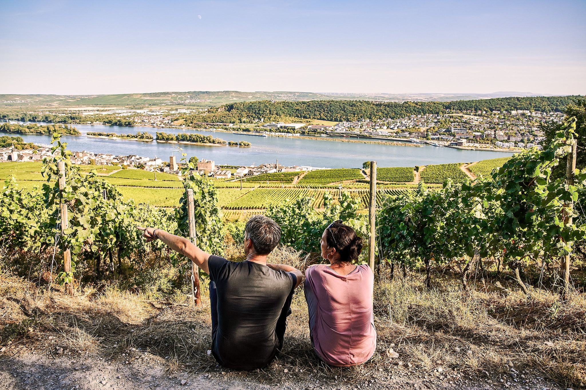
Bus station hiking trails around Wiesbaden traverse a diverse landscape characterized by the dense woodlands of the Taunus Mountains to the north and the vineyard-covered slopes of the Rheingau region to the west. The city is bordered by the Rhine River, offering riverine paths and views of the broader Rhine Valley. Elevations range from the river plains to hills like the Neroberg, providing varied terrain for hikers.
Best bus station hiking trails around Wiesbaden
- The most popular bus station hiking route is Grauer Stein Climbing Crag – Rock formation loop from Schierstein, a 8.8 miles (14.1 km) trail that takes 3 hours 55 minutes to complete. This moderate route explores rock formations and offers views near the Rhine.
- Another top favourite among local hikers is Frauenstein Castle – Schloss Freudenberg loop from Frauenstein, a moderate 4.6 miles (7.5 km) path. This trail leads through historic areas, connecting two castles in the Frauenstein district.
- Local hikers also love the Grauer Stein Climbing Crag – Frauenstein Castle loop from Frauenstein, a 7.2 miles (11.7 km) trail leading through rock formations and past historic castles, often completed in about 3 hours 17 minutes.
- Hiking around Wiesbaden is defined by dense woodlands, vineyard-covered hills, and scenic river paths along the Rhine. The network offers options for various ability levels, from gentle strolls to more challenging ascents.
- The routes in Wiesbaden are highly rated by the komoot community with an average score of 4.5 stars from more than 7,000 reviews. More than 38,000 hikers have used komoot to explore Wiesbaden's varied terrain.
Last updated: June 26, 2026
4.6
(177)
609
hikers
14.1km
03:55
260m
260m
Moderate hike. Good fitness required. Easily-accessible paths. Suitable for all skill levels.
4.5
(189)
566
hikers
7.47km
02:05
140m
140m
Moderate hike. Good fitness required. Easily-accessible paths. Suitable for all skill levels.

Sign up for free
4.4
(78)
309
hikers
Moderate hike. Good fitness required. Easily-accessible paths. Suitable for all skill levels.
4.5
(79)
511
hikers
Moderate hike. Good fitness required. Easily-accessible paths. Suitable for all skill levels.
4.4
(74)
256
hikers
16.0km
04:33
360m
360m
Moderate hike. Good fitness required. Easily-accessible paths. Suitable for all skill levels.
Get access to more routes and recommendations from other explorers.
Sign up for free
Already have an account?
Our route recommendations are based on thousands of hikes, rides, and runs completed by other people on komoot.
Start today with a free account
Your next adventure awaits.
Login or Signup

Other adventures around Wiesbaden


Tips from the Community

very overgrown - you have to like it...
0
0

Didn't see a stream at that spot.
0
0

Added to the collection: https://www.komoot.com/de-de/collection/3600632/-naturdenkmaeler-besondere-baeume-und-weitere-schaetze-der-natur
1
0

The rock formation is almost as imposing as the Grey Stone, a few meters ahead.
0
0
If you fancy a round of Nine Men's Morris, you've come to the right place!
0
0
Freudenberg Castle, located in the Dotzheim district of Wiesbaden, the capital of the German state of Hesse, has been an experiential learning center for the development of the senses and thought since 1993. ...
11
0
Frequently Asked Questions
How many bus-accessible hiking trails are there around Wiesbaden?
There are over 800 hiking routes around Wiesbaden that are easily accessible by bus. This guide focuses on a selection of these trails, offering diverse experiences from leisurely strolls to more challenging treks.
Are there easy bus-accessible hikes suitable for beginners in Wiesbaden?
Yes, Wiesbaden offers many easy bus-accessible trails perfect for beginners. Over 570 routes are classified as easy. For a pleasant introduction, consider the loop from Frauenstein past Frauenstein Castle and Platte Hunting Lodge, which is a moderate route but offers gentle elevation changes and beautiful scenery.
Can I find circular hiking routes accessible by bus in Wiesbaden?
Absolutely. Many of the bus-accessible trails around Wiesbaden are circular, allowing you to start and end your hike at the same bus stop without needing to retrace your steps. An example is the Frauenstein Castle – Schloss Freudenberg loop from Frauenstein, which offers a scenic circular experience.
Are there bus-accessible trails in Wiesbaden that are family-friendly?
Yes, the region has several family-friendly options. The Neroberg, Wiesbaden's local mountain, offers an adventure trail with 16 stations, perfect for engaging children. While not directly listed in the guide data, the general area provides many easy, well-maintained paths suitable for families. The Kastel Riverside Promenade loop from Mainz is relatively flat and offers riverside views, which can be enjoyable for all ages.
Are dogs allowed on bus-accessible hiking trails in Wiesbaden?
Generally, dogs are welcome on hiking trails around Wiesbaden, provided they are kept on a leash, especially in nature reserves or near wildlife. Always check local signage for specific regulations. The diverse forest paths of the Taunus are particularly popular with dog owners.
What kind of scenery can I expect on bus-accessible hikes around Wiesbaden?
You can expect a rich variety of landscapes. To the north, the Taunus Forest offers dense woodlands with beech, oak, and spruce, peaceful streams, and historical traces of the Roman Limes. To the west, the Rheingau region provides picturesque vineyards and riverine paths along the Rhine. Many routes also offer panoramic views of the city and surrounding areas, such as from the Neroberg.
Are there any historical or cultural sights along bus-accessible trails?
Yes, the region is rich in history. You can explore sites like Frauenstein Castle, the ancient Roman Limes, and various castles and palaces along the Rhine. The Grauer Stein Climbing Crag loop from Schierstein passes by interesting rock formations and offers views of the Rhine.
What is the best time of year to go hiking from bus stations in Wiesbaden?
Spring (April-May) and autumn (September-October) are ideal, offering pleasant temperatures and beautiful scenery with blooming flowers or vibrant fall foliage. Summer can be warm, but the shaded forest trails of the Taunus provide relief. Winter hikes are also possible, especially on cleared paths, offering a serene experience.
Are there bus-accessible trails with cafes or refreshment stops?
Many trails in the Wiesbaden area pass through or near villages and towns where you can find cafes, restaurants, or traditional 'Straußwirtschaften' (seasonal wine taverns) in the Rheingau. For example, routes around Frauenstein often have options for refreshments. The Neroberg also has dining facilities at its summit.
How long do bus-accessible hikes typically take in Wiesbaden?
Hikes vary greatly in duration. You can find shorter loops like the Frauenstein Castle loop, which takes around 2 hours. Longer, more challenging routes, such as the Altenstein – Villa in the Valley loop from Klarenthal, can take over 4 hours. The guide includes routes ranging from a few kilometers to over 15 kilometers, allowing you to choose based on your available time and fitness level.
What do other hikers say about the bus-accessible trails in Wiesbaden?
The bus-accessible trails around Wiesbaden are highly rated by the komoot community, with an average score of 4.5 stars from over 7,000 ratings. Reviewers often praise the well-maintained paths, the diverse scenery ranging from dense forests to vineyards, and the convenience of public transport access.
Can I hike along the Rheinsteig using bus connections from Wiesbaden?
Yes, the first stage of the famous Rheinsteig premium hiking trail begins in Wiesbaden-Biebrich, making it easily accessible by bus. This section leads past Biebrich Palace, through vineyards, and towards Frauenstein, offering stunning views of the Rhine Valley.
Are there bus-accessible trails that explore the vineyards of the Rheingau?
Definitely. The Rheingau region, known for its Riesling wines, offers numerous wine-themed hikes that are accessible by bus. The Wiesbaden wine and nature trail, connecting Frauenstein and Schierstein, provides insights into local wine-growing areas. Many routes in this guide will take you through picturesque vineyards with opportunities to enjoy the local viticulture.
Most popular routes around Wiesbaden
Most popular attractions around Wiesbaden

Get inspired with the komoot mobile app


Explore more
Browse the best Hikes in other regions.
