The best road cycling routes around Wiesbaden
4.5
(949)
11,517
riders
206
rides
Road cycling routes around Wiesbaden offer diverse terrain, situated between the Rhine River and the Taunus low mountain range. The region features relatively flat paths along the Rhine, challenging climbs in the Taunus, and scenic roads through picturesque vineyards. This varied topography provides options for road cyclists of all experience levels.
Best road cycling routes around Wiesbaden
- The most popular road cycling route is Scenic Road to Wispertal – Scenic Road Through the Wisper Valley loop from Waldstraße, a 49.7 miles (80.0 km) trail that takes 3 hours 48 minutes to complete. This difficult route features significant elevation gain through the Wisper Valley.
- Another top favourite among local road cyclists is The Main River at Kostheim – Cycle expressway along the Rhine embankment loop from Wiesbaden Hauptbahnhof, a difficult 81.2 miles (130.7 km) path. This route follows the Rhine embankment and Main River, offering extensive riding.
- Local road cyclists also love the Rhine Cycle Path Geisenheim – Hindenburg Bridge Ruins loop from Wiesbaden-Schierstein, a 26.6 miles (42.8 km) trail leading through the Rhine Cycle Path, often completed in about 1 hour 43 minutes.
- Road cycling around Wiesbaden is defined by routes along the Rhine River, through the Taunus low mountain range, and amidst vineyards. The network offers options for different ability levels, from flat riverside paths to challenging hill climbs.
- The routes in Wiesbaden are highly rated by the komoot community with an average score of 4.5 stars from over 700 reviews. More than 10,000 road cyclists have used komoot to explore Wiesbaden's varied terrain.
Last updated: October 5, 2026
4.5
(85)
1,105
riders
80.0km
03:48
1,060m
1,060m
Hard road ride. Very good fitness required. Mostly well-paved surfaces and easy to ride.
4.5
(15)
369
riders
Hard road ride. Very good fitness required. Some segments of this route may be unpaved and difficult to ride.

4.4
(66)
700
riders
Easy road ride. Great for any fitness level. Mostly well-paved surfaces and easy to ride.
5.0
(16)
365
riders
Moderate road ride. Good fitness required. Mostly well-paved surfaces and easy to ride.
4.7
(18)
385
riders
Hard road ride. Very good fitness required. Mostly well-paved surfaces and easy to ride.
4.4
(28)
578
riders
Moderate road ride. Good fitness required. Some segments of this route may be unpaved and difficult to ride.
4.5
(19)
562
riders
Moderate road ride. Good fitness required. Mostly well-paved surfaces and easy to ride.
4.8
(40)
454
riders
Moderate road ride. Good fitness required. Mostly well-paved surfaces and easy to ride.
4.3
(69)
310
riders
37.5km
01:42
130m
130m
Easy road ride. Great for any fitness level. Mostly well-paved surfaces and easy to ride.
4.4
(52)
269
riders
Moderate road ride. Good fitness required. Mostly well-paved surfaces and easy to ride.
Get access to more routes and recommendations from other explorers.
Already have an account?
Our route recommendations are based on thousands of hikes, rides, and runs completed by other people on komoot.
Start today with a free account
Your next adventure awaits.
Popular around Wiesbaden
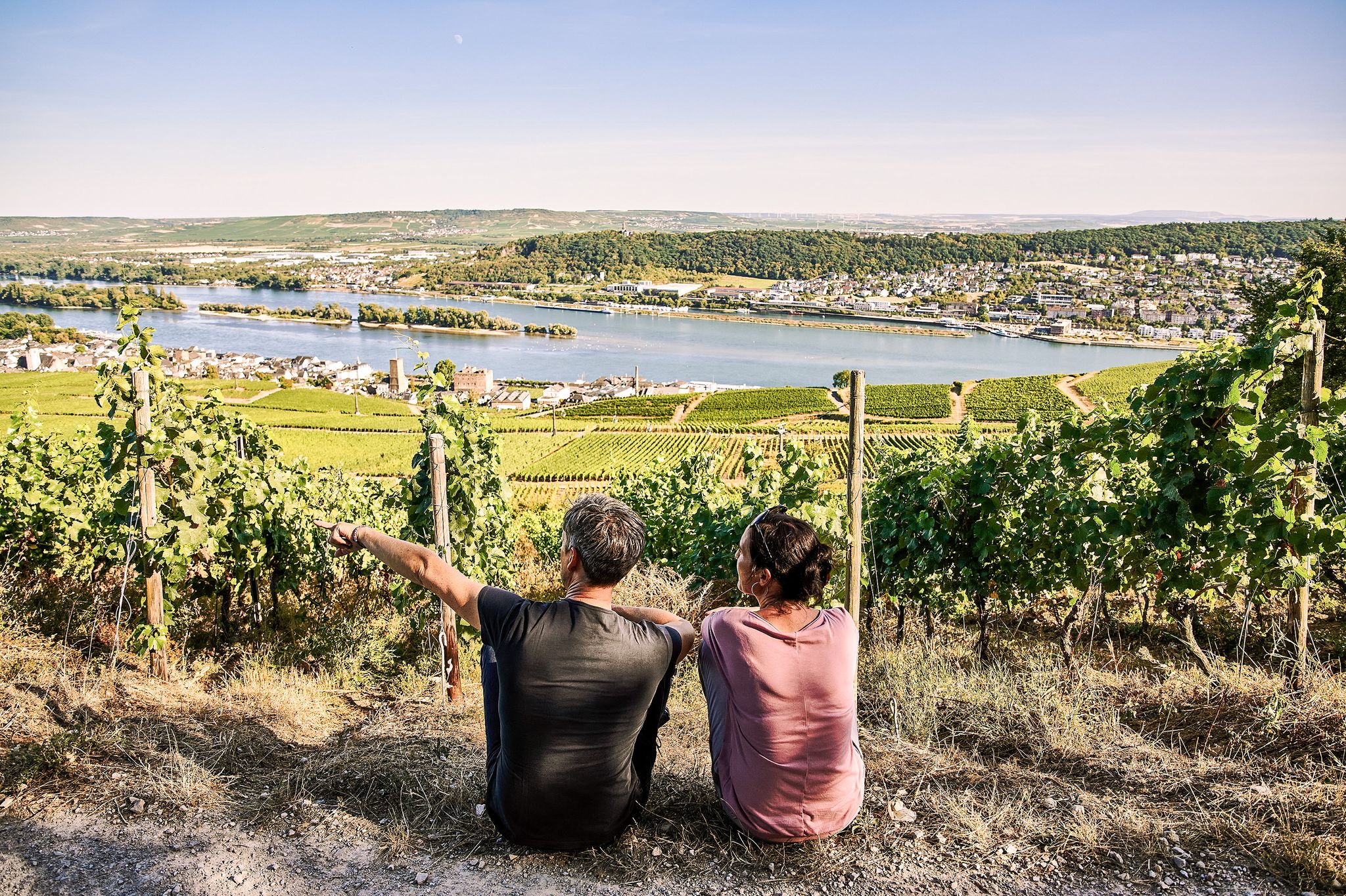
Riesling Loops – 14 routes rich in wine and history

Spring is here – hiking with family by bus & train in Rhine-Main
Stadt aus, Natur an im Rhein-Main-Gebiet – Mit Magnesium-Diasporal®
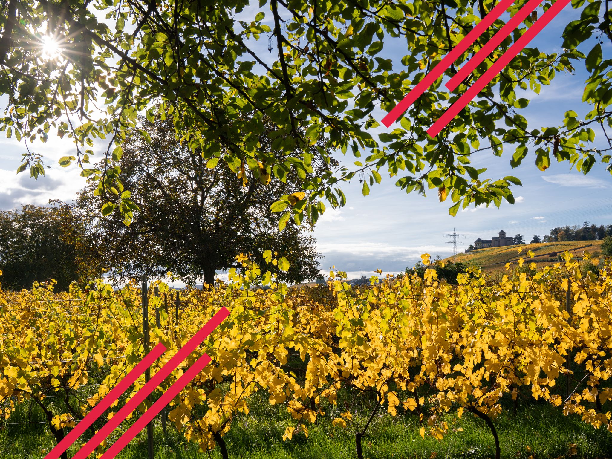
Herbstwandern in einem Meer aus Gold und Purpur – Rheingau
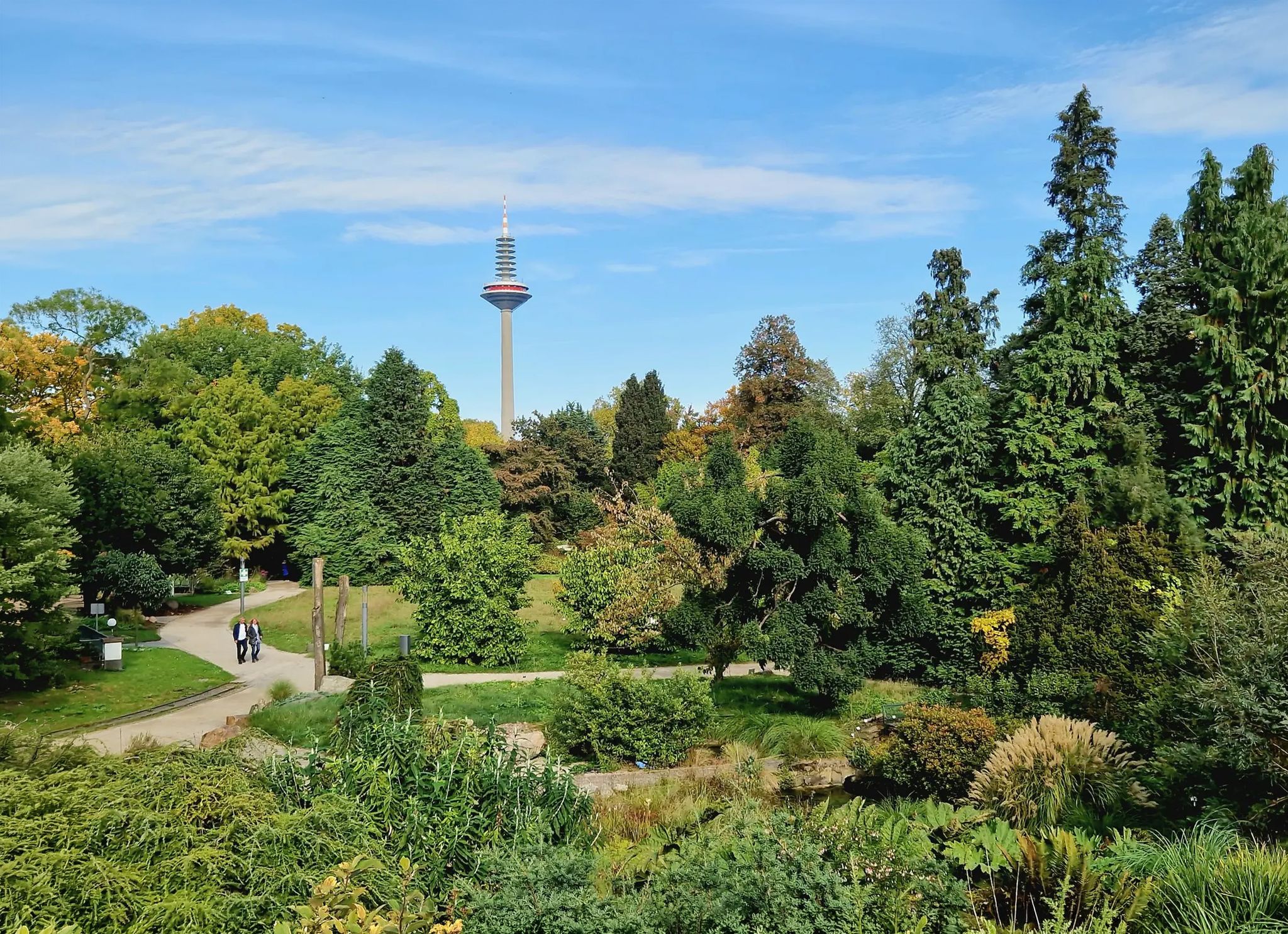
Einfach durch Wiesbaden, Mainz, Darmstadt und Frankfurt am Main
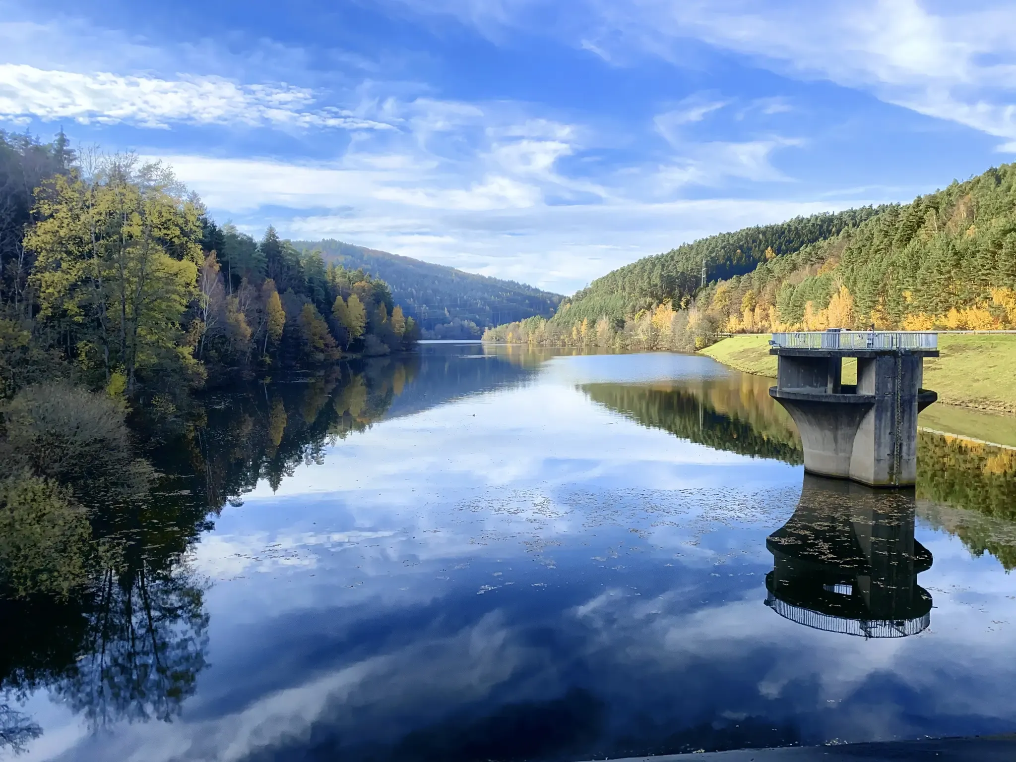
Mit Rosbacher auf Tour im Rhein-Main-Gebiet
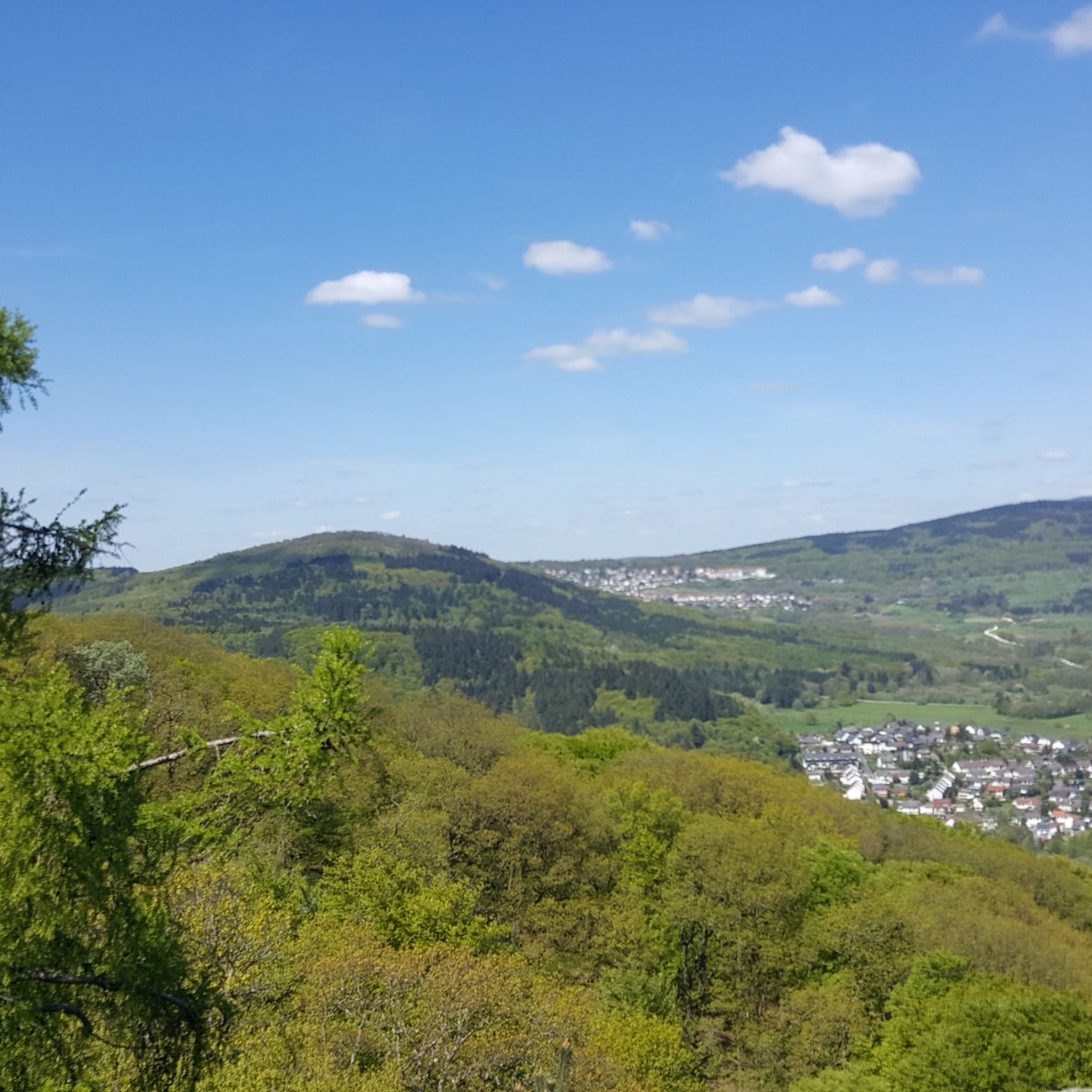
Hiking around Wiesbaden
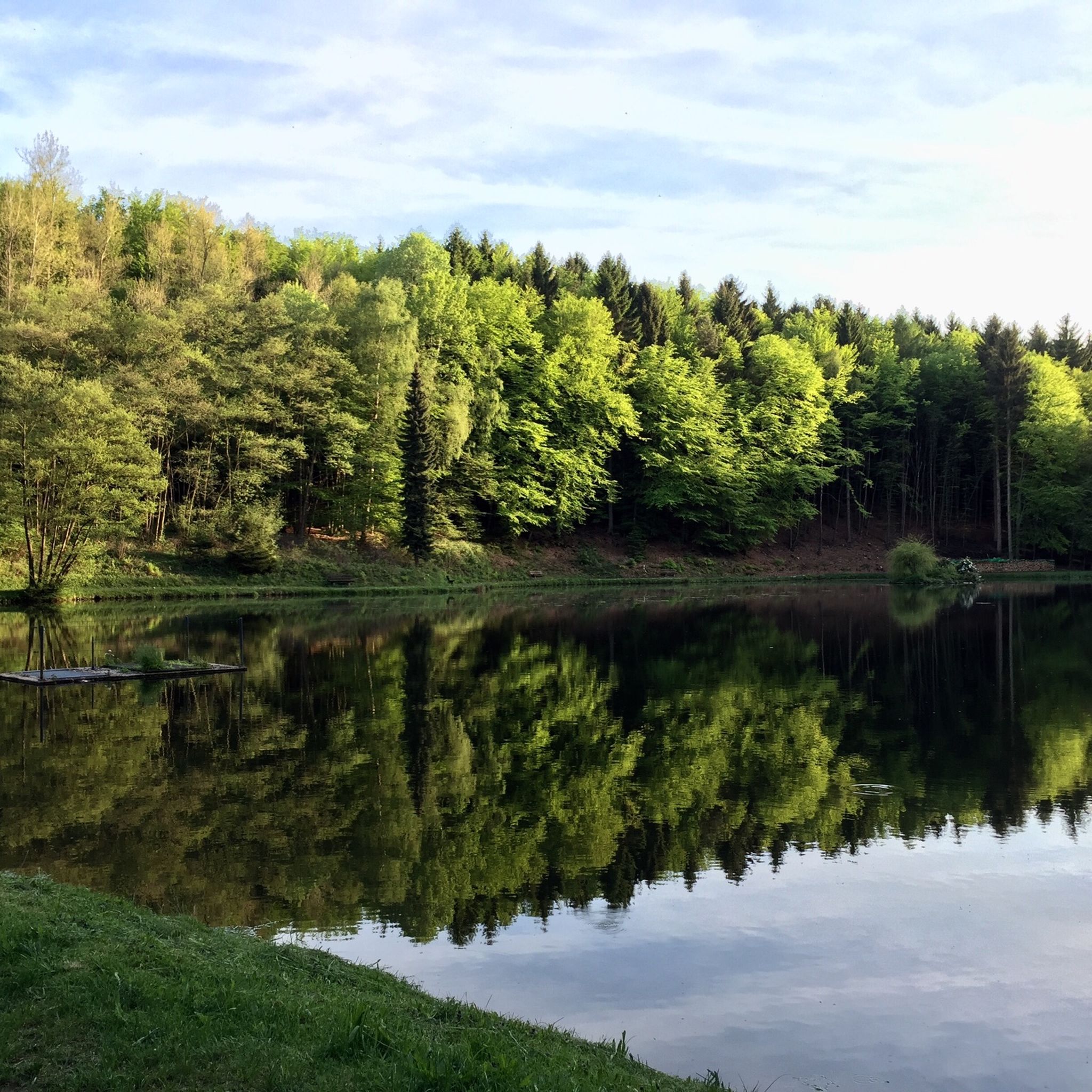
Running Trails around Wiesbaden
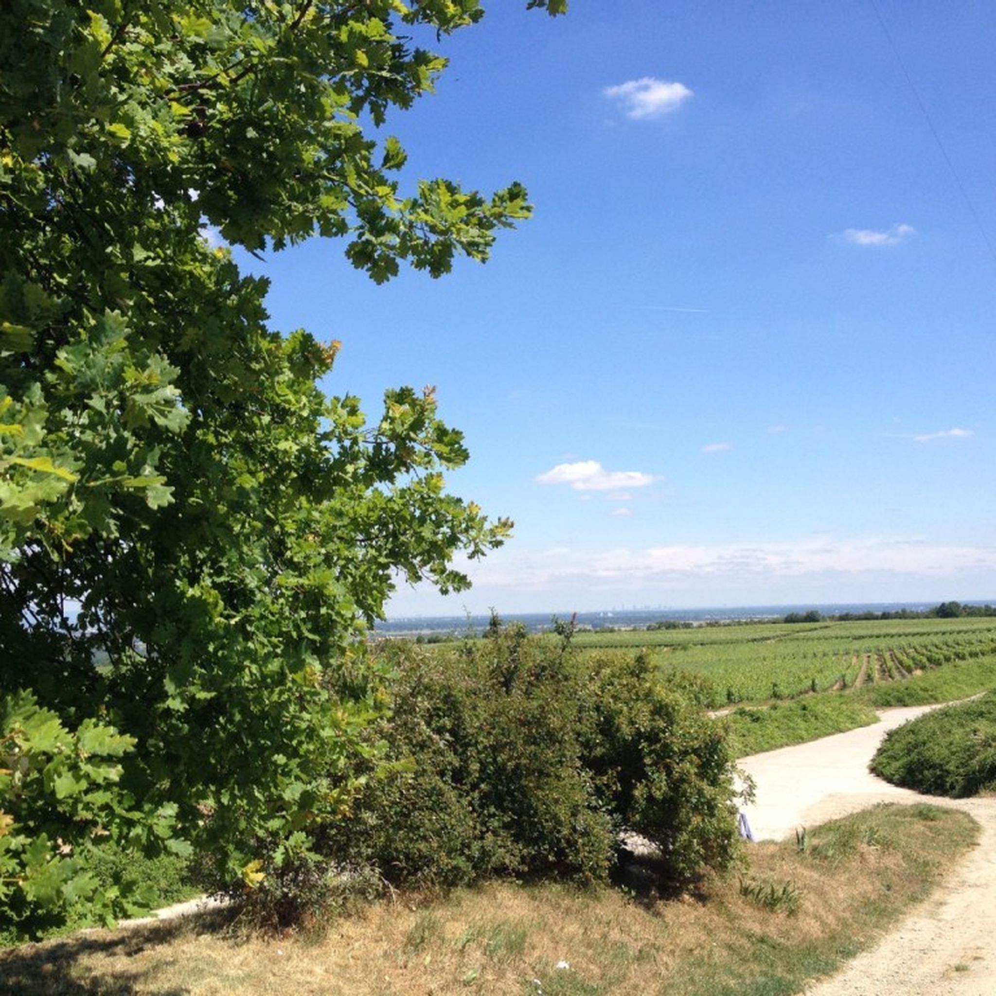
Cycling around Wiesbaden
MTB Trails around Wiesbaden
Other adventures around Wiesbaden


Tips from the Community

Beautiful country road where you can also race along (if there is no strong headwind).
0
0

The Binger Mäuseturm is one of the landmarks here in the upper Middle Rhine Valley and, although smaller and easier to overlook, effectively has the same status as the Pfalzgrafenstein in Kaub. From the Rheingau side, only a view is possible; from the Bingen side, you can walk to the island at low water levels in the Rhine. Exciting: Several, partly bloody legends surround the Mäuseturm. More, among others, here: https://www.mittelrheinentdecken.de/de/sehenswuerdigkeiten/binger-maeuseturm/
0
0

Beautiful view into the distance
1
0


The tower at the entrance of the Regional Park at the Weilbacher Kiesgrube offers a fantastic panorama from its 27 m high observation deck, great.
2
0

Altrhein near Ginsheim with harbor. Pedal boats and small cafes.
0
0

The Main, with a total length of around 527 kilometers, is the longest right-bank tributary of the Rhine and one of Germany's most important rivers. It is formed by the confluence of two headwaters, the Red Main (Roter Main) from the Franconian Jura and the White Main (Weißer Main) from the Fichtelgebirge, which unite near Kulmbach in Upper Franconia. From there, the river meanders in distinct loops in a westerly direction through the federal states of Bavaria, Baden-Württemberg, and Hesse. The characteristic river bends shape scenically attractive regions such as the Franconian Wine Land or the Spessart, before the river finally flows into the Rhine at Mainz-Kostheim, opposite Mainz.The Main plays an outstanding role in the economy and transport in Central Europe as a major international shipping route. Through the Main-Danube Canal, completed in 1992, it is part of a continuous European waterway that connects the North Sea with the Black Sea via the Rhine and the Danube. The river thus serves as a lifeline for freight transport across the continent. Along its course lie important economic and industrial centers, above all the metropolis of Frankfurt am Main, whose famous skyline would be unthinkable without the picturesque backdrop of the river and its numerous bridges and promenades.In addition to its economic function, the Main has inestimable value for ecology and recreation. Its bank zones offer important habitats for a species-rich animal and plant world. For the population of the adjacent cities and communities, the river serves as a central local recreation area. Well-developed cycle paths, such as the popular Main Cycle Path (Main-Radweg), accompany the entire course of the river and attract numerous cyclists and hikers every year. In addition, water sports, excursion boats, and lively river promenades characterize the image of the river in the urban centers and make it a meeting point for sport and culture.
6
0
Frequently Asked Questions
How many road cycling routes are available around Wiesbaden?
There are over 200 road cycling routes around Wiesbaden, offering a wide variety of options for different skill levels and preferences.
What kind of terrain can I expect when road cycling in Wiesbaden?
Wiesbaden's unique location between the Rhine River and the Taunus low mountain range provides diverse terrain. You can find relatively flat paths along the Rhine, challenging climbs and winding descents in the Taunus Mountains, and picturesque roads through the Rheingau vineyards.
Are there road cycling routes suitable for beginners or those seeking an easier ride?
Yes, there are 48 easy road cycling routes around Wiesbaden. The paths along the Rhine River are generally flatter and ideal for a more relaxed ride. An example of an easy route is the Rhine Cycle Path Geisenheim – Hindenburg Bridge Ruins loop from Wiesbaden-Schierstein.
Where can I find challenging road cycling routes with significant climbs near Wiesbaden?
For experienced cyclists seeking a challenge, the Taunus low mountain range offers steep climbs and winding descents. There are 57 difficult routes in the area. A notable challenging route is the Scenic Road to Wispertal – Scenic Road Through the Wisper Valley loop from Waldstraße, which features significant elevation gain.
Are there any long-distance road cycling routes in the Wiesbaden area?
Yes, Wiesbaden offers several long-distance options. For example, the The Main River at Kostheim – Cycle expressway along the Rhine embankment loop from Wiesbaden Hauptbahnhof is a difficult 81.2-mile (130.7 km) path that follows the Rhine embankment and Main River, providing an extensive ride.
What are the best times of year for road cycling in Wiesbaden?
The best time for road cycling in Wiesbaden is generally between spring and autumn. During these months, temperatures are pleasant, and nature is in full bloom, making for enjoyable rides through the diverse landscapes.
Are there circular road cycling routes available around Wiesbaden?
Many of the road cycling routes around Wiesbaden are designed as loops, allowing you to start and end in the same location. For instance, the View of Das Ländchen – Löwenbrunnen Idstein loop from Wiesbaden-Igstadt is a moderate 72.2-mile (116.1 km) circular route.
What scenic viewpoints or attractions can I see along the road cycling routes?
Many routes offer stunning views and pass by interesting attractions. You can enjoy views of the Rhine River, the city of Mainz, and the Taunus landscape. Notable highlights include the Main estuary, Schierstein Harbour, and the View of the Theodor Heuss Bridge and the city of Mainz. The Monopteros on the Neroberg also offers panoramic city views.
Can I access road cycling routes using public transport in Wiesbaden?
Many routes start from central locations like Wiesbaden Hauptbahnhof (main train station) or other accessible districts such as Wiesbaden-Schierstein and Wiesbaden-Igstadt, making them convenient to reach via public transport.
What do other road cyclists enjoy most about road cycling in Wiesbaden?
The komoot community highly rates road cycling in Wiesbaden, with an average score of 4.5 stars from over 700 reviews. Cyclists often praise the region's varied terrain, from the flat riverside paths to the challenging Taunus climbs, and the scenic routes through the vineyards.
Are there routes that explore the vineyard regions around Wiesbaden?
Yes, the regions surrounding Wiesbaden, particularly the Rheingau, are characterized by picturesque vineyards. Many routes utilize small roads with minimal traffic, perfect for exploring this wine region. You can find routes specifically designed as 'Riesling loops' to discover Germany's renowned wineries.
Are there any routes that take me near the Neroberg?
While direct cycling on the Neroberg itself might be restricted in some areas, you can cycle to its base. The Neroberg offers stunning panoramic views of the city and features vineyards and natural attractions. The Monopteros on the Neroberg is a popular highlight in the area.
Most popular routes around Wiesbaden
Most popular attractions around Wiesbaden

Get inspired with the komoot mobile app


Explore more
Browse the best Road cycling routes in other regions.
