The best mountain hikes around Wiesbaden
5.0
(1)
9
hikers
8
hikes
Mountaineering routes around Wiesbaden are situated at the foot of the Taunus mountains, offering a diverse landscape for outdoor pursuits. The region features extensive forests, green spaces, and valleys, with the city itself boasting over 5,400 hectares of forest. Notable local hills like the Neroberg provide panoramic views and access to varied terrain. This area is characterized by shady mountain valleys, quiet forests, and some rocky outcrops, providing a range of elevations for mountaineering.
Best mountaineering routes around Wiesbaden
- The…
Last updated: October 1, 2026
3
hikers
8.25km
02:20
180m
180m
Moderate mountaineering route. Good fitness required. Easily-accessible paths. Suitable for all skill levels.
12.7km
03:44
340m
340m
Moderate mountaineering route. Good fitness required. Mostly accessible paths. Sure-footedness required.

2
hikers
Moderate mountaineering route. Good fitness required. Easily-accessible paths. Suitable for all skill levels.
1
hikers
3.63km
01:05
110m
110m
Easy mountaineering route. Great for any fitness level. Easily-accessible paths. Suitable for all skill levels.
1
hikers
10.2km
03:06
350m
350m
Moderate mountaineering route. Good fitness required. Easily-accessible paths. Suitable for all skill levels.
5.52km
01:41
180m
180m
Moderate mountaineering route. Great for any fitness level. Mostly accessible paths. Sure-footedness required.
1
hikers
12.8km
03:42
340m
340m
Moderate mountaineering route. Good fitness required. Easily-accessible paths. Suitable for all skill levels.
5.0
(1)
1
hikers
14.1km
04:20
500m
500m
Moderate mountaineering route. Good fitness required. Mostly accessible paths. Sure-footedness required.
Our route recommendations are based on thousands of hikes, rides, and runs completed by other people on komoot.
Start today with a free account
Your next adventure awaits.
Popular around Wiesbaden
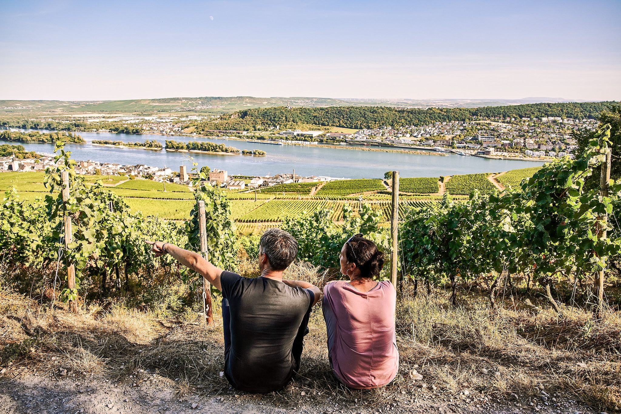
Riesling Loops – 14 routes rich in wine and history

Spring is here – hiking with family by bus & train in Rhine-Main
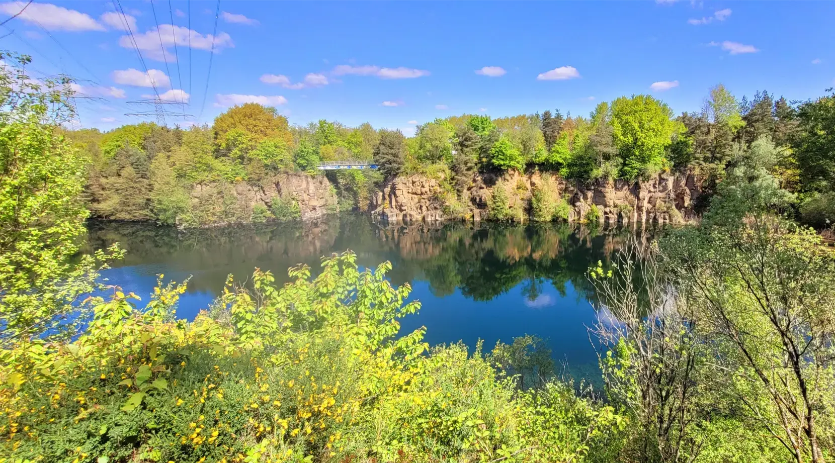
Stadt aus, Natur an im Rhein-Main-Gebiet – Mit Magnesium-Diasporal®
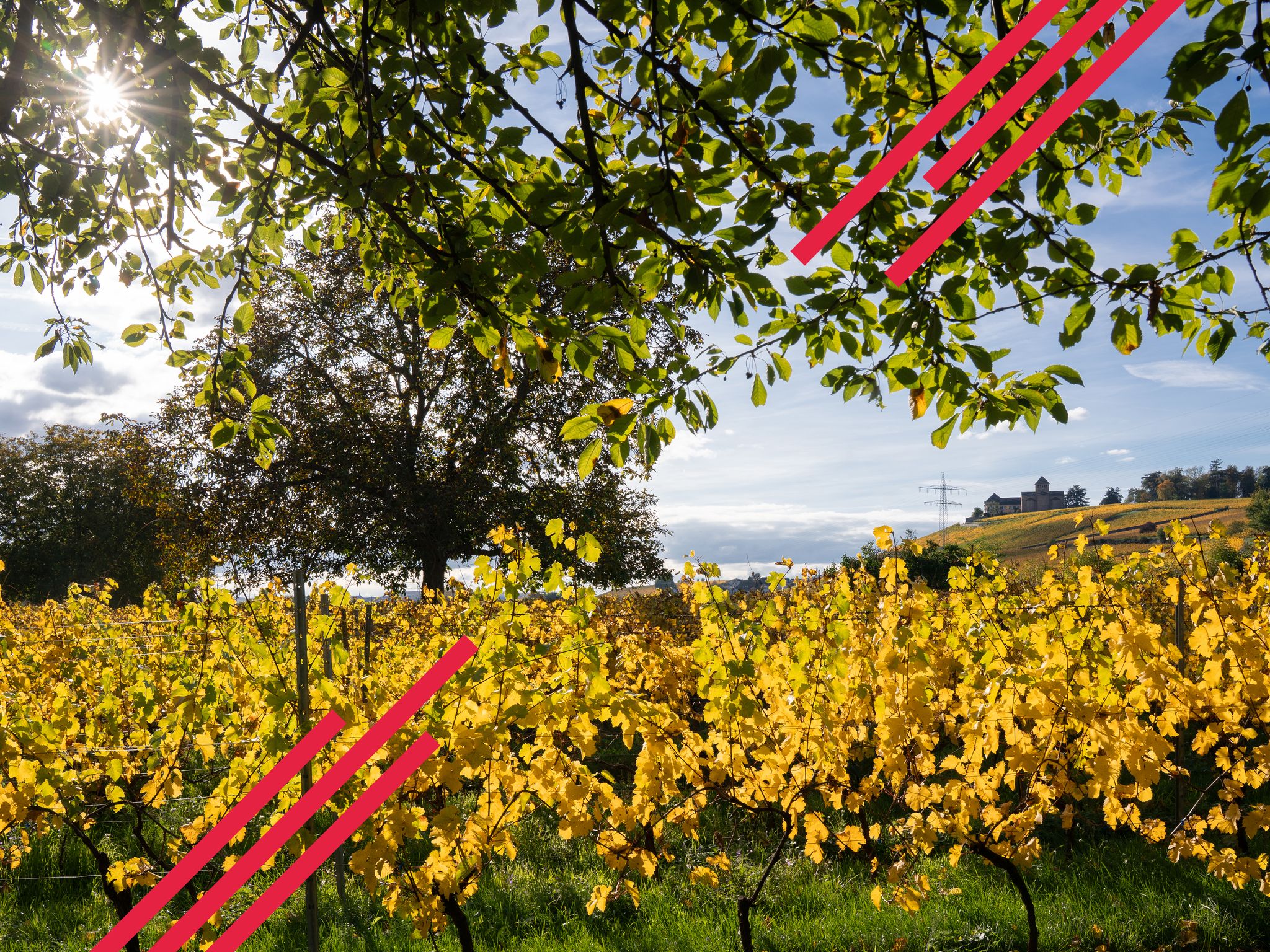
Herbstwandern in einem Meer aus Gold und Purpur – Rheingau
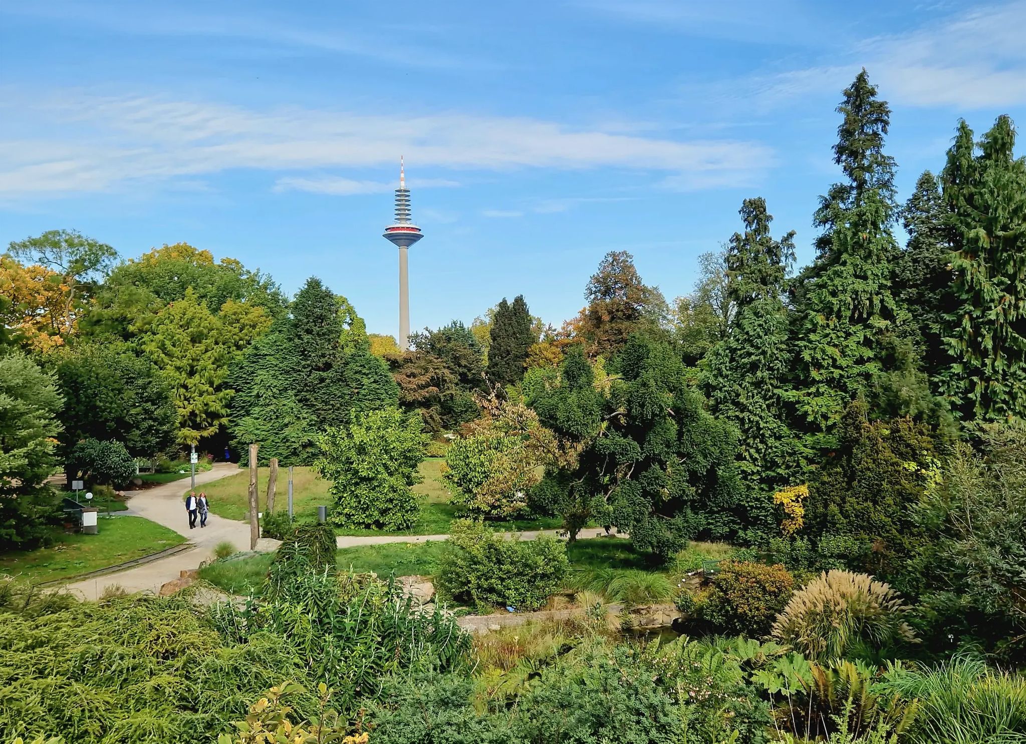
Einfach durch Wiesbaden, Mainz, Darmstadt und Frankfurt am Main
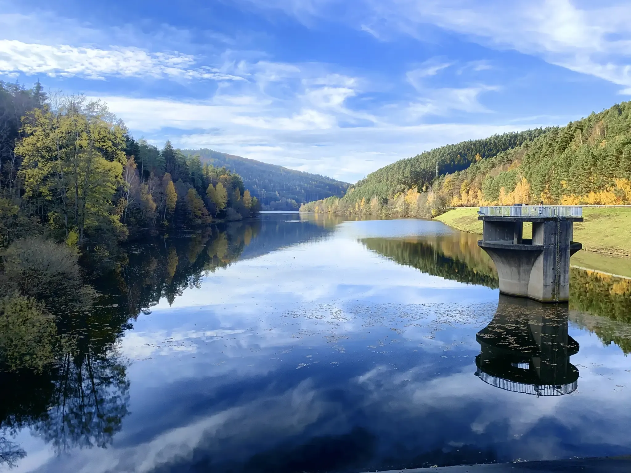
Mit Rosbacher auf Tour im Rhein-Main-Gebiet
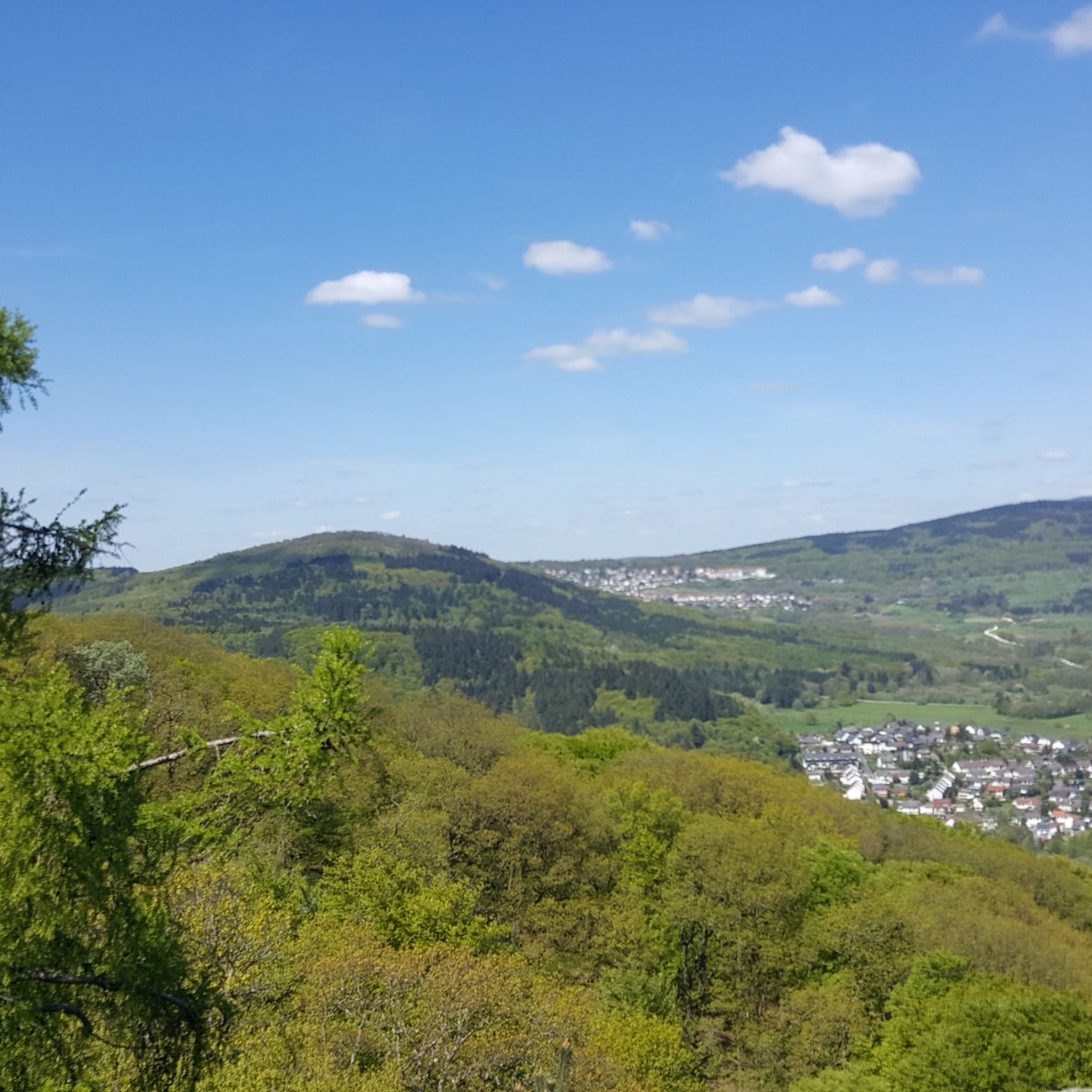
Hiking around Wiesbaden
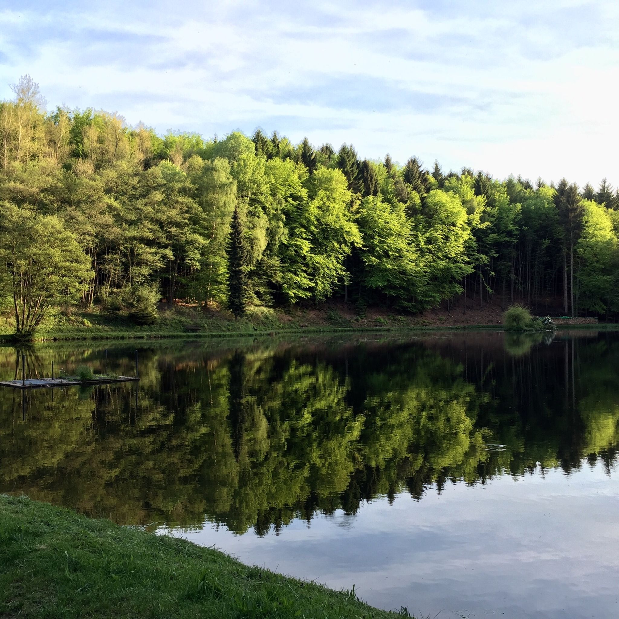
Running Trails around Wiesbaden
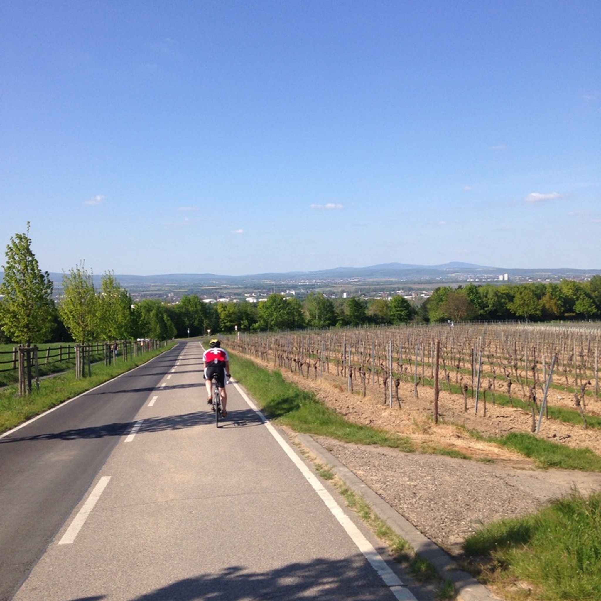
Road Cycling Routes around Wiesbaden
Cycling around Wiesbaden
Other adventures around Wiesbaden


Tips from the Community

Here is a short meadow trail, very nice to ride
12
0

It is a beautiful meadow.
0
0
The settlement "Alte Burg" The settlement inside dates from the Late Hallstatt to the Early La Tène period and was inhabited by Celts approximately between 600 and 450 BC. More recent archaeological investigations by institutions such as Hessen-Archäologie have shown artificially created, flat terraces in the terrain, on which indigenous houses made of wood and clay stood. Researchers estimate that a small community of 10 to 100 people lived here permanently. The choice of location was strategically brilliant: The Lorsbachtal valley already served as an important transport route through the Taunus in the Iron Age, and in the immediate vicinity there were valuable iron ore deposits. Furthermore, without the current afforestation, there was a direct line of sight to the mighty ring wall on the Altkönig near Kronberg, which presumably allowed the transmission of smoke and fire signals. Meanwhile, a hunter has set up his high seat up here, and he hunts wild game in this historic place
15
1
The summit of the mountain spur is enclosed by a main oval rampart. Originally, this was a massive stone-and-earth wall, supported by wooden beams, which offered protection to the high-altitude settlement. Today, this construction is visible in the terrain as a clearly recognizable, overgrown earthwork.
15
0
Since the mountain spur transitions flatly to a mountain saddle on one side and was particularly easy to attack from there, the Celts built an additional, approximately 130-meter-long outer rampart. This completely sealed off the saddle like an artificial barrier.
15
0
The tower at the ringfort stands at the top of a meadow slope northwest of Lorsbach. From there, one has a panoramic view over Lorsbach and the Lorsbach Valley. The tower takes its name from the Alteburg rampart located further up the hilltop. The wooden tower is 8.60 meters high. The viewing platform is at a height of 4.50 meters. The tower and the surrounding area are owned by the Lorsbach Local History Society. It was built according to plans by the late society member Emanuel Winkelmann. The tower was inaugurated on December 18, 2005. The tower at the ringfort is a popular destination for hikers and walkers. It is also easily accessible from Langenhain and Eppstein via hiking trails. The shortest route there leads from Lorsbach along the Alteburgweg trail.
14
1
On June 24, 2022, the new St. John's Chapel at the Gimbach farm was consecrated. As an introduction and reminder: The first stone evidence of a sacred site dates back to the sixth century. For centuries, various buildings stood here, including a chapel, which was only demolished at the beginning of the 19th century. Processions and pilgrimages to this site have been documented since around 1650 and are still carried out today. Drawings, paintings, and map entries of the structures have also existed for centuries. (A brief note regarding various images and depictions from that time: For artistic reasons, the background, e.g., the 451-meter-high Staufen mountain, was moved to a different location to fit the overall picture.) Around 1912, the Pfeffer family, and subsequently the Schiela family, considered rebuilding the demolished chapel. They even collected existing building materials. But it wasn't until about 100 years later, around 2010, that the idea of building a pilgrimage site or shrine was revived, albeit somewhat circuitously: Mrs. Schiela's husband was visiting a doctor in Flörsheim when he spoke with a relative. One topic of conversation was a prayer room in Gimbach. Through the doctors, Dr. Betina Kilb-Fessler and Dr. Joachim Fessler, I, Helmut Mohr, was approached as a friend and architect, as I had been involved with church construction and renovations in the Main-Taunus district since 1983. Contact with Mrs. Schiela and her sister then led to the coordination and work that culminated in the project, the results of which can be seen here.
4
0
Frequently Asked Questions
How many mountaineering routes can I find around Wiesbaden?
There are 8 mountaineering routes available around Wiesbaden, offering diverse experiences through the Taunus mountains and local green spaces. These routes are well-regarded by the komoot community.
What kind of terrain can I expect on mountaineering routes near Wiesbaden?
The terrain around Wiesbaden is characterized by shady mountain valleys, quiet forests, and some rugged rocky outcrops, particularly in the Taunus region. You'll find a mix of elevations, from gentle slopes to more challenging ascents, often providing panoramic views of the city and surrounding landscapes.
Are there any easy mountaineering routes suitable for beginners in Wiesbaden?
Yes, there is one easy mountaineering route available. The Flowtrail Langenhain loop from Bahai Temple is a good option for those looking for a less strenuous experience.
Are there any circular mountaineering routes around Wiesbaden?
Many of the mountaineering routes around Wiesbaden are designed as loops, allowing you to start and end at the same point. Examples include the popular Leichtweiß Cave – Monopteros on the Neroberg loop from Neroberg and the Platte Hunting Lodge – Neroberg Climbing Park loop from Neroberg.
What are some notable landmarks or natural features I can see along these routes?
The routes often pass by significant natural and historical sites. You can explore the Leichtweiß Cave, enjoy views from the Goethestein Monument and Rhine Valley View, or visit the Kaiser Wilhelm Tower (Schläferskopf). The Kellerskopf Observation Tower also offers excellent panoramic vistas.
Are there any family-friendly activities or attractions near the mountaineering routes?
Absolutely! The Neroberg area, accessible via several routes, is very family-friendly. Here you'll find the Neroberg Climbing Forest, a high ropes course with options for children as young as four. The historic Nerobergbahn funicular railway also provides a unique experience.
Can I bring my dog on the mountaineering routes in Wiesbaden?
Wiesbaden's extensive forests and green spaces, which cover more than a quarter of the city, are generally very welcoming to dogs. Most hiking trails in the Taunus region are dog-friendly, but it's always advisable to keep your dog on a leash, especially in nature reserves or near wildlife.
What is the average duration for mountaineering routes in Wiesbaden?
The duration of mountaineering routes in Wiesbaden varies. For example, the Leichtweiß Cave – Monopteros on the Neroberg loop from Neroberg takes about 2 hours 21 minutes, while the Shoe Tree on Hohe Kanzel Trail – Theiss Valley loop from Niedernhausen (Taunus) typically takes around 3 hours 32 minutes. The longest route, Judenkopf Summit – Emperor's Temple, Eppstein loop from Eppstein, can take over 4 hours.
Are there opportunities for bouldering or other climbing activities near the routes?
Yes, for those interested in climbing, bouldering and traversing opportunities are available in the Frauenstein area, specifically at Grauerstein Climbing Crag. Additionally, the Neroberg Climbing Forest offers a high ropes course for a different kind of climbing challenge.
How accessible are the mountaineering routes by public transport or car parking?
Wiesbaden's integration with the Taunus valleys means many routes are easily accessible. The Neroberg, a popular starting point, can be reached by the historic Nerobergbahn funicular railway. For other routes, public transport options are available to nearby towns, and parking is generally found at trailheads or in surrounding villages.
What do other mountaineers enjoy most about the routes around Wiesbaden?
The routes around Wiesbaden are highly rated by the komoot community, with an average score of 5.0 stars. Reviewers often praise the diverse landscapes, the quiet forests, and the rewarding panoramic views from local peaks like Neroberg and Kellerskopf. The well-maintained trails and the blend of nature with historical landmarks are also frequently highlighted.
Are there any routes that offer views of the Rhine River?
Yes, Wiesbaden's proximity to the Rhine River means some routes and viewpoints offer scenic glimpses of the river and the picturesque Rheingau region. The Goethestein Monument and Rhine Valley View is a specific highlight known for its impressive vistas over the Rhine.
Most popular routes around Wiesbaden
Most popular attractions around Wiesbaden

Get inspired with the komoot mobile app


Explore more
Browse the best Mountain Hikes & Routes in other regions.
