The best dog-friendly hikes and walks in the Deister
4.6
(14071)
52,125
hikers
54
hikes
Dog friendly hiking trails in the Deister traverse a diverse landscape of lush forests and varied hilly terrain, offering numerous options for outdoor activity. The region is characterized by its extensive network of well-signposted trails that wind through stream valleys and past natural features. Hikers can expect to encounter imposing rock formations and varied elevations, with the highest point, the Bröhn, reaching 405 meters. This area provides a range of dog friendly hiking experiences, from easy walks to more challenging paths.
Best dog friendly hiking trails in the Deister
- The most popular dog friendly hiking route is Eimbeckhausen Panorama Trail – Walterbach Valley Nature Reserve loop from Walterbachtal, a 5.3 miles (8.6 km) trail that takes 2 hours 20 minutes to complete. This moderate route features varied forest paths and scenic views.
- Another top favourite among local hikers is Forest playground in the Deister – Schleifbach Hut loop from Egestorf (Deister), a moderate 5.8 miles (9.3 km) path. This trail leads through dense woodlands and past a forest playground.
- Local hikers also love the Walterbach Valley Nature Reserve – Eimbeckhausen Panorama Trail loop from Nienstedt (Deister), an 8.5 miles (13.7 km) trail leading through the Walterbach Valley Nature Reserve, often completed in about 3 hours 45 minutes.
- Hiking in the Deister is defined by lush forests, stream valleys, and varied hilly terrain. The network offers options for different ability levels, from easy walks to more challenging moderate routes.
- The routes in Deister are highly rated by the komoot community with an average score of 4.6 stars from over 12,000 reviews. More than 50,000 hikers have used komoot to explore Deister's varied terrain.
Last updated: July 10, 2026
4.8
(100)
353
hikers
Moderate hike. Good fitness required. Easily-accessible paths. Suitable for all skill levels.
4.8
(96)
287
hikers
Easy hike. Great for any fitness level. Easily-accessible paths. Suitable for all skill levels.

Sign up for free
4.7
(31)
85
hikers
Easy hike. Great for any fitness level. Easily-accessible paths. Suitable for all skill levels.
4.8
(17)
64
hikers
Moderate hike. Good fitness required. Easily-accessible paths. Suitable for all skill levels.
4.8
(22)
42
hikers
Moderate hike. Good fitness required. Easily-accessible paths. Suitable for all skill levels.
Get access to more routes and recommendations from other explorers.
Sign up for free
Already have an account?
Our route recommendations are based on thousands of hikes, rides, and runs completed by other people on komoot.
Start today with a free account
Your next adventure awaits.
Login or Signup

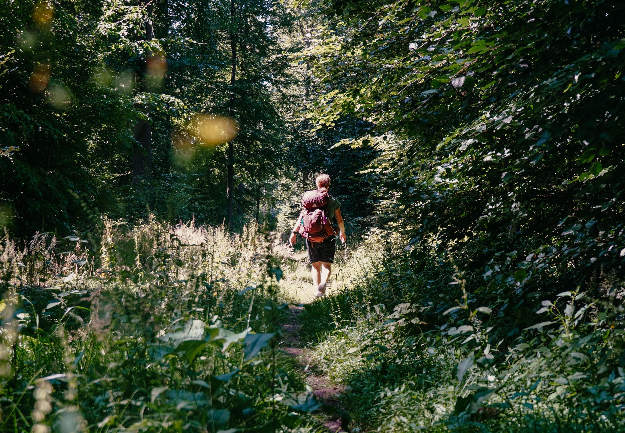
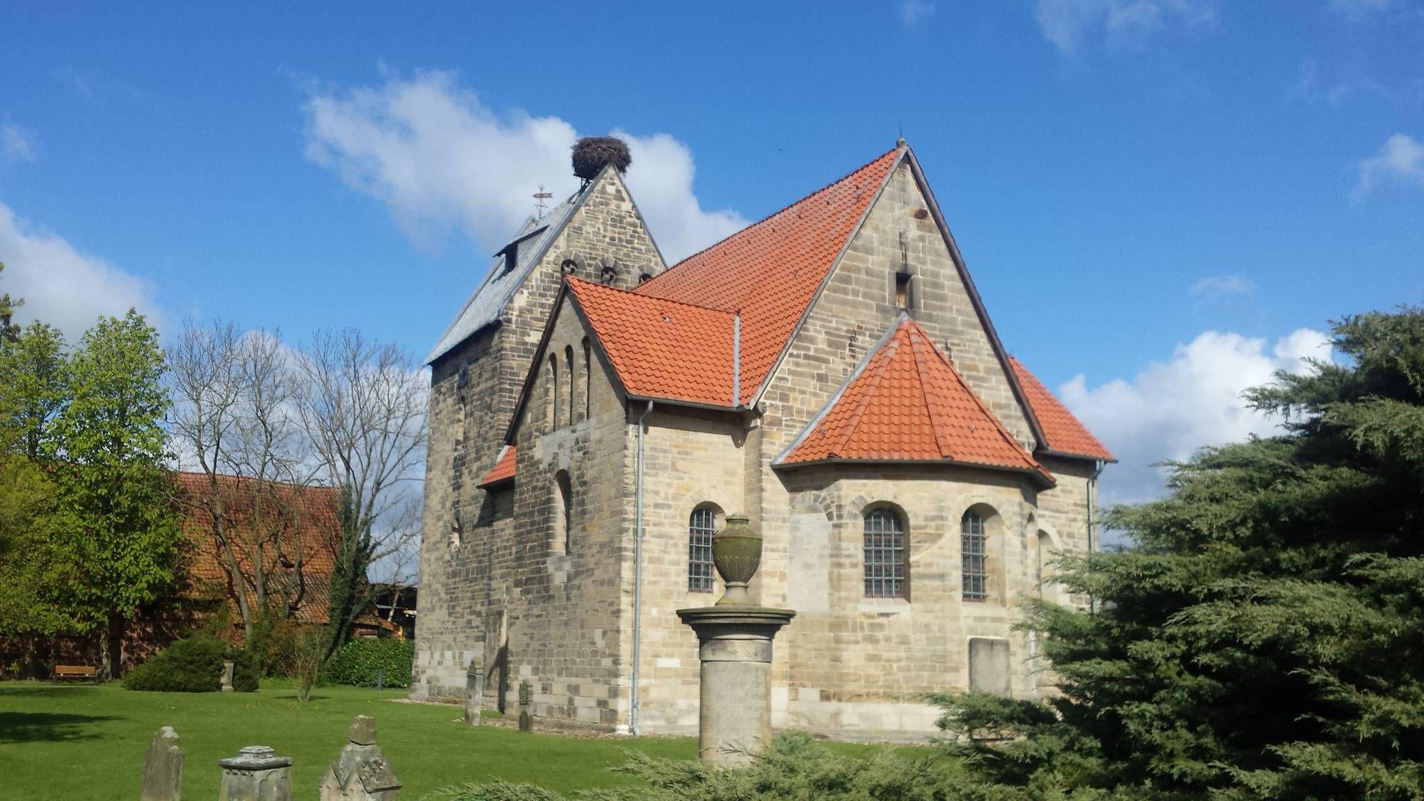


Other adventures in the Deister


Tips from the Community

The Walterbach is a small, unassuming, yet significant stream in the Deister hills, giving its name to the Walterbach Valley. It originates in the wooded heights of this low mountain range and flows gently through a diverse valley of meadows, moorland, and dense deciduous forests. Its course appears natural and largely untouched, giving the stream special ecological value. Typical of the Walterbach is its clear, cool water, which meanders gently through the valley. Alders, willows, and ferns grow along its banks, providing shade for the stream and simultaneously offering habitat for numerous animals. Amphibians, dragonflies, and waterfowl find ideal conditions here, while the stream itself is home to small animals and insect larvae, which play a vital role in the ecological balance. The Walterbach not only shapes the natural landscape but also the atmosphere of the valley. Its soft babbling accompanies walkers and hikers on the surrounding paths, enhancing the feeling of peace and seclusion. Especially during periods of heavy rain, the stream becomes more prominent, demonstrating just how dynamic and vibrant this small body of water can be. Historically, the Walterbach likely played a role in the water supply and the use of the surrounding land, for example, for grazing livestock or small-scale forestry.
1
0

Its name is now Cemetery of Forgotten Children
0
0

Because it was too warm, the stream was empty.
0
0

Thanks to the wasteland a little view
0
0
Beautiful view of the valley - a bench is also available
0
0
However, the gradients are limited
0
0
However, there are also plenty of dead spruce trees here!
0
0

Frequently Asked Questions
How many dog-friendly hiking trails are available in the Deister region?
The Deister region offers nearly 50 dog-friendly hiking trails, ranging from easy strolls to more challenging routes. This ensures a diverse selection for you and your canine companion to explore the beautiful landscapes.
What kind of terrain can I expect on dog-friendly hikes in Deister?
You can expect a varied landscape in Deister. Trails often lead through lush forests, past streams and ponds, and occasionally feature imposing rock formations. The region consists of hilly terrain, providing interesting inclines and descents, with the highest point reaching around 405 meters.
Are there easy dog-friendly routes suitable for all fitness levels?
Yes, Deister offers a good selection of easy dog-friendly routes. With 19 easy trails available, you'll find plenty of options for a relaxed walk with your dog, perfect for families or those looking for a less strenuous outing. An example is the 4.4 km Walterbach Valley Nature Reserve loop.
Are there any circular dog-friendly walks in Deister?
Many of the dog-friendly trails in Deister are circular, allowing you to start and end at the same point without retracing your steps. For instance, the Eimbeckhausen Panorama Trail offers a moderate 8.6 km loop through the Walterbach Valley Nature Reserve.
What are some notable landmarks or viewpoints I can visit with my dog in Deister?
Deister features several interesting landmarks and viewpoints. You can visit the Annaturm, an observation tower on the Bröhn offering panoramic views, or the historic Nordmannsturm. Many trails pass by these points, providing great photo opportunities for you and your dog.
How accessible is Deister by public transport for hikers with dogs?
Deister is well-connected by public transport from Hannover. You can reach the foot of the Deister via S-Bahn, and bus lines extend up to the Deister ridge. This makes it convenient for day trips, even if you're traveling with your dog.
Are there any dog-friendly places to eat or rest near the trails?
Yes, you'll find several forest inns and restaurants near the hiking trails that are often welcoming to dogs. Notable options include the Mooshütte Forest Inn, the Nordmannsturm forest restaurant, and the Devil's Bridge Forest Inn, where you can take a break and refuel.
What is the best time of year for dog-friendly hiking in Deister?
Deister is beautiful year-round, but spring and autumn are particularly pleasant for hiking with dogs. In spring, the forests are lush and green, while autumn offers stunning foliage. Summer can be warm, so early mornings or late afternoons are best. Winter hikes are also possible, but be mindful of potential snow and ice on trails.
Are there any longer, more challenging dog-friendly routes for experienced hikers?
Yes, for more experienced hikers and their dogs, Deister offers several moderate to difficult routes. An example is the 13.7 km Walterbach Valley Nature Reserve loop from Nienstedt, which features over 240 meters of elevation gain, providing a good workout for both of you.
What do other hikers enjoy most about dog-friendly trails in Deister?
The Deister region is highly rated by the komoot community, with an average score of 4.6 stars. Reviewers often praise the quiet, well-maintained forest paths, the diverse scenery including streams and viewpoints, and the overall dog-friendly atmosphere that makes it a perfect destination for outdoor adventures with pets.
Are there specific parking areas recommended for dog walks in Deister?
Yes, many trailheads in Deister have designated parking areas, making it convenient to start your dog walk. These are typically well-signposted. For example, routes like the Forest playground in the Deister loop from Egestorf often have nearby parking facilities.
Most popular routes in the Deister
Most popular attractions in the Deister

Get inspired with the komoot mobile app


Explore more
Browse the best Hikes in other regions.
