The best hikes from bus stations in Naturschutzgebiet - Ostteil Des Toten Gebirges
4.6
(9558)
61,195
hikers
352
hikes
Bus station hiking trails in Naturschutzgebiet - Ostteil Des Toten Gebirges traverse a diverse landscape characterized by vast karst plateaus and steep limestone cliffs. The region features an arid plateau where water quickly drains into underground systems, contributing to its unique geological formations. Hikers can expect to encounter alpine lakes and dramatic rock formations, offering varied terrain for exploration. This area provides a range of hiking experiences, from challenging mountain paths to easier routes across high-altitude expanses.
Best bus station…
Last updated: July 8, 2026
4.8
(5)
32
hikers
Hard hike. Very good fitness required. Mostly accessible paths. Sure-footedness required.
4.3
(8)
62
hikers
21.0km
07:35
830m
830m
Hard hike. Very good fitness required. Mostly accessible paths. Sure-footedness required.

Sign up for free
5.0
(1)
8
hikers
4.22km
01:15
130m
130m
Easy hike. Great for any fitness level. Easily-accessible paths. Suitable for all skill levels.
4.5
(2)
9
hikers
5.56km
01:43
210m
200m
Easy hike. Great for any fitness level. Easily-accessible paths. Suitable for all skill levels.
4.8
(5)
12
hikers
25.1km
08:01
890m
890m
Hard hike. Very good fitness required. Sure-footedness, sturdy shoes and alpine experience required.
Get access to more routes and recommendations from other explorers.
Sign up for free
Already have an account?
Our route recommendations are based on thousands of hikes, rides, and runs completed by other people on komoot.
Start today with a free account
Your next adventure awaits.
Login or Signup
Popular around Naturschutzgebiet - Ostteil Des Toten Gebirges

Other adventures in Naturschutzgebiet - Ostteil Des Toten Gebirges


Tips from the Community

Just a few more meters downhill to two nice huts with good snacks
0
0

The route is also perfectly doable with a dog. The dog should, of course, be fit, healthy, and not too old or too young. We were there in October. There were few cows. The route was absolutely gorgeous.
1
0

For me, the Märchensee and the Steirersee were the most beautiful lakes on the Tauplitzalm
0
0

Beautiful view! Best to visit during the week!
0
0

Thanks to the chairlift, you can get up the mountain comfortably. Information on lift times and prices: https://www.dietauplitz.com/de/sommer/.
2
0

There are always beautiful views of the lake
0
0

Easy hike with great views around the Taupliz lakes. The path to the Lawinenstein is a bit steeper, but is rewarded with a breathtaking panoramic view of the Grimming, Dachstein and the Totes Gebirg.
0
0
Frequently Asked Questions
How many bus station hiking trails are available in Naturschutzgebiet - Ostteil Des Toten Gebirges?
There are over 350 hiking routes in Naturschutzgebiet - Ostteil Des Toten Gebirges that are accessible from bus stations. These include a wide range of difficulties, with 134 easy, 162 moderate, and 61 difficult trails to choose from.
What kind of terrain can I expect on bus-accessible hikes in this region?
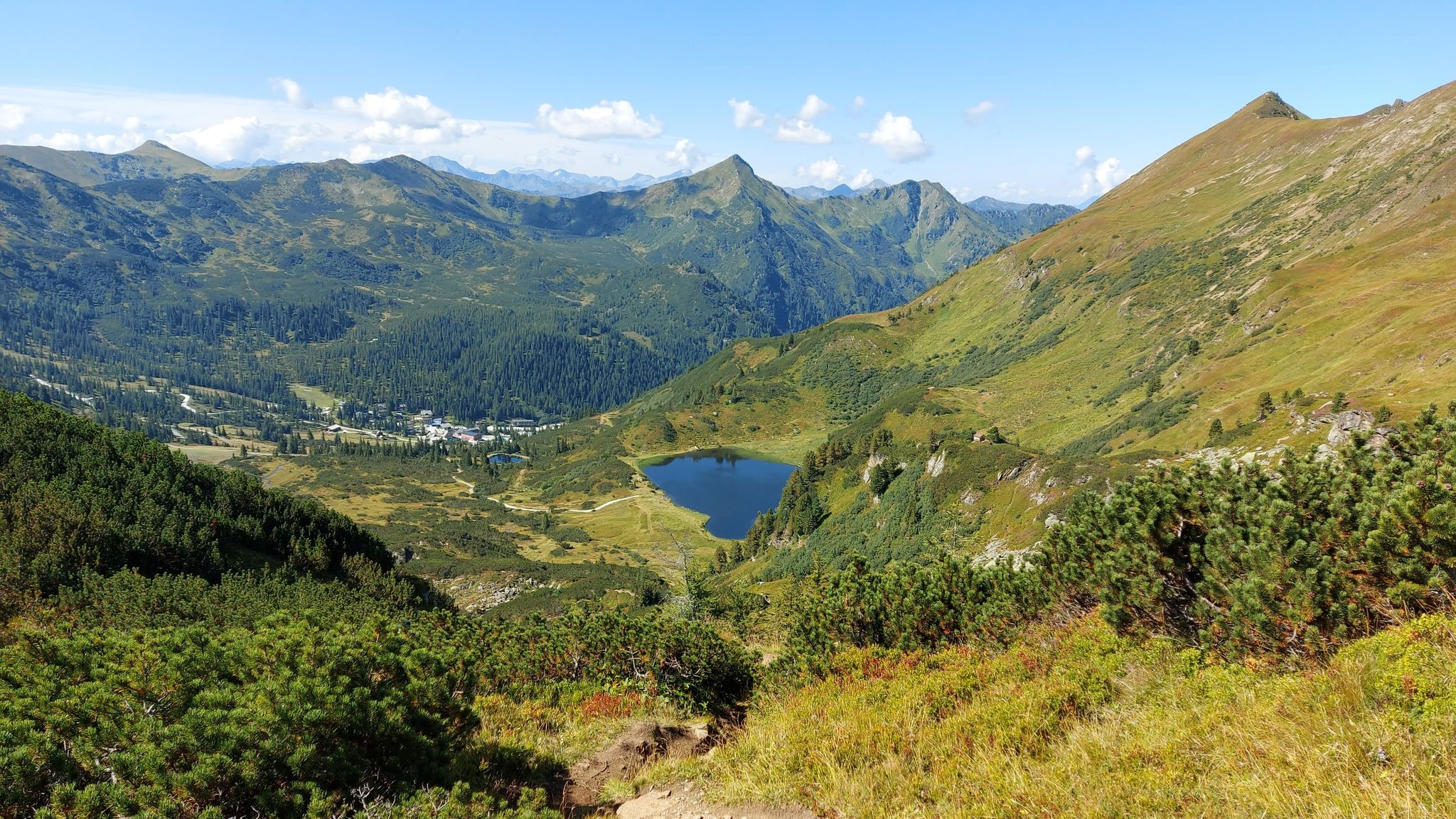
The region is known for its dramatic karst landscape, which is part of Central Europe's largest limestone karst plateau. You can expect to encounter vast, often arid plateaus, steep cliffs, and unique rock formations. While some areas are barren, you'll also find diverse flora and serene alpine lakes, especially around areas like the Tauplitzalm.
Are there circular hiking routes accessible from bus stops?
Yes, several circular routes are accessible from bus stops, allowing you to start and end your hike at the same point. A popular option is the challenging View of the Steirersee – View of Schwarzensee loop from Krallersee, which offers stunning lake views. For a slightly different perspective, consider the View of the Steirersee – View of Lake Steirer loop from Krallersee.
What natural features or landmarks can I see along bus-accessible trails?
Many bus-accessible trails lead to or pass by significant natural features. You can explore picturesque alpine lakes like the South Shore of Steirersee, which is a highlight in itself. The region also offers numerous viewpoints, such as the Bench with a view of the Steirersee, providing panoramic vistas of the unique karst landscape.
Are there family-friendly hiking options accessible by bus?
Absolutely. The region offers several easy routes suitable for families. For example, the View of Großsee – Fairy Lake loop from Krallersee is an easy, shorter trail perfect for a family outing. These routes often feature gentler inclines and beautiful scenery.
Can I bring my dog on these bus-accessible trails?
Generally, dogs are welcome on hiking trails in Naturschutzgebiet - Ostteil Des Toten Gebirges, but it's always advisable to keep them on a leash, especially in nature reserve areas and near grazing livestock. Be mindful of local regulations and ensure your dog is well-behaved around wildlife and other hikers.
When is the best time of year to hike from bus stations in this region?
The best time for hiking is typically from late spring to early autumn (May to October). During these months, the weather is generally more stable, trails are clear of snow, and the alpine flora is in bloom. The vast karst plateaus can be exposed, so checking weather forecasts for temperature and potential storms is always recommended.
Are there mountain huts or places to stop for refreshments along the way?
Yes, the Totes Gebirge, including its eastern part, features numerous mountain huts. Along many trails, you'll find opportunities to stop for refreshments or even overnight stays. Notable huts include the Hochmölbing Hut and the Traweng Hut, which are popular stops for hikers.
What do other hikers say about the bus-accessible trails in Naturschutzgebiet - Ostteil Des Toten Gebirges?
The komoot community highly rates the hiking experiences in this region, with an average score of 4.57 stars from over 9,200 ratings. Hikers frequently praise the stunning natural beauty, the unique karst landscapes, and the well-maintained trails that offer a sense of remote wilderness.
Are there any easy routes for beginners accessible by bus?
Yes, beginners can find several easy routes accessible by bus. For instance, the Tauplitzalm – View of the Dachstein loop from Krallersee offers a relatively gentle introduction to hiking in the area, providing beautiful views without demanding significant elevation gain.
Most popular routes in Naturschutzgebiet - Ostteil Des Toten Gebirges
Most popular attractions in Naturschutzgebiet - Ostteil Des Toten Gebirges

Get inspired with the komoot mobile app


Explore more
Browse the best Hikes in other regions.
