The best running trails in Naturschutzgebiet - Ostteil Des Toten Gebirges
4.5
(162)
4,160
runners
213
runs
Jogging routes in Naturschutzgebiet - Ostteil Des Toten Gebirges traverse a diverse landscape characterized by Central Europe's largest limestone karst plateau. This region features extensive karst formations, including gorges and crevices, alongside majestic mountain peaks. Alpine lakes are scattered throughout the area, providing scenic backdrops for running. The nature reserve offers a network of trails suitable for various fitness levels, from gentle lakeside paths to more challenging mountain ascents.
Best jogging routes in Naturschutzgebiet - Ostteil Des Toten Gebirges
- The…
Last updated: August 28, 2026
10
runners
6.88km
00:50
160m
160m
Moderate run. Good fitness required. Mostly paved surfaces. Suitable for all skill levels.
19
runners
8.83km
01:01
190m
190m
Hard run. Good fitness required. Sure-footedness, sturdy shoes and alpine experience required.

Sign up for free
7
runners
9.44km
01:18
530m
530m
Hard run. Very good fitness required. Mostly paved surfaces. Suitable for all skill levels.
4
runners
16.0km
02:15
790m
790m
Hard run. Very good fitness required. Mostly accessible paths. Some sure footedness required.
43
runners
12.9km
01:45
390m
390m
Hard run. Very good fitness required. Sure-footedness, sturdy shoes and alpine experience required.
Get access to more routes and recommendations from other explorers.
Sign up for free
Already have an account?
Our route recommendations are based on thousands of hikes, rides, and runs completed by other people on komoot.
Start today with a free account
Your next adventure awaits.
Login or Signup
Popular around Naturschutzgebiet - Ostteil Des Toten Gebirges
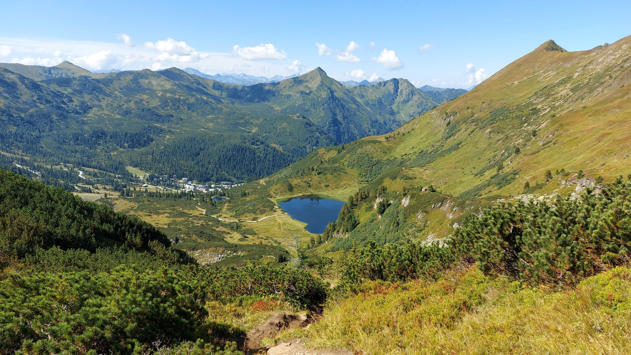
Austria's Salt Trail – On old paths through Styria

Discover Styria in Austria on foot – ‘From Glacier to Wine’ North Route
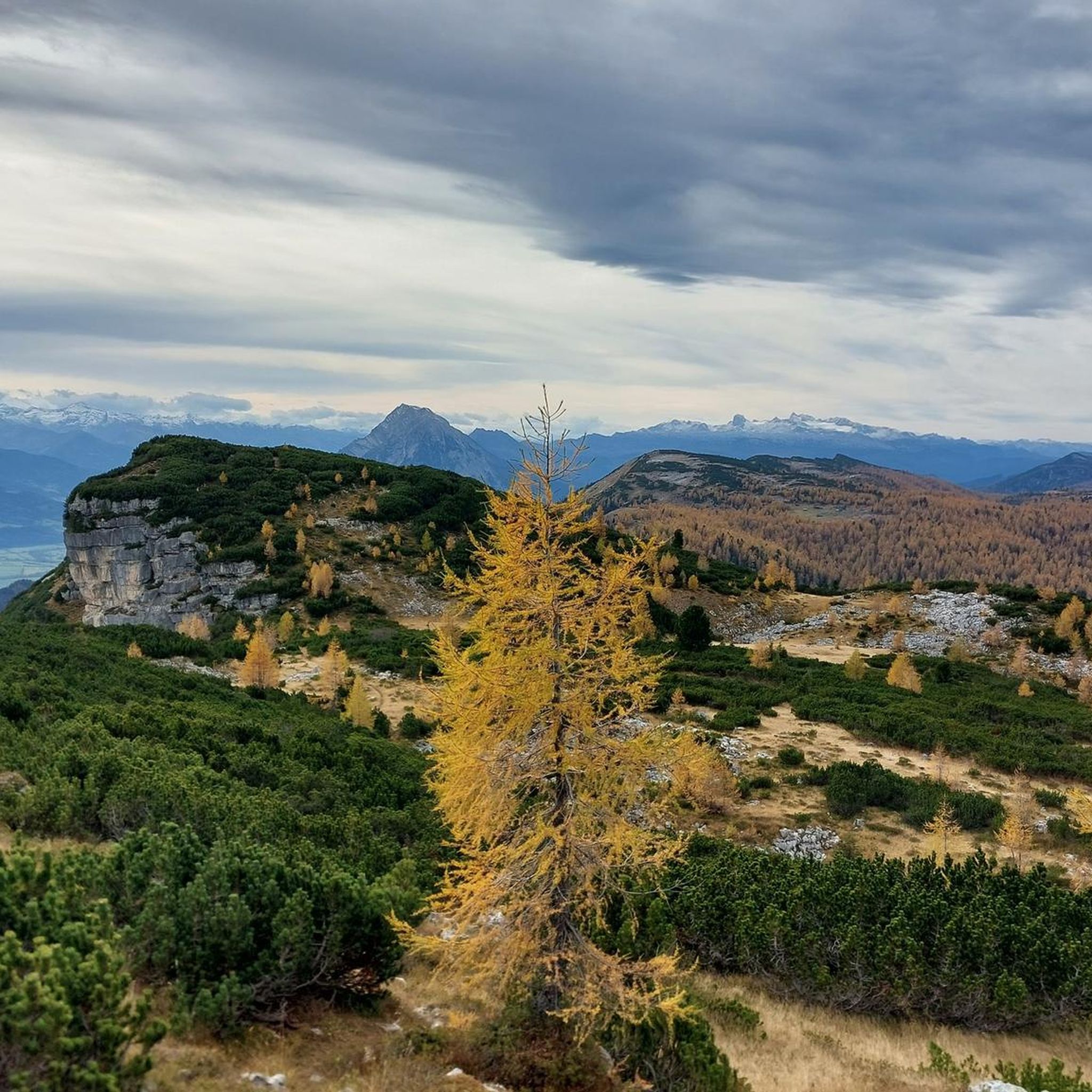
Hiking in Naturschutzgebiet - Ostteil Des Toten Gebirges
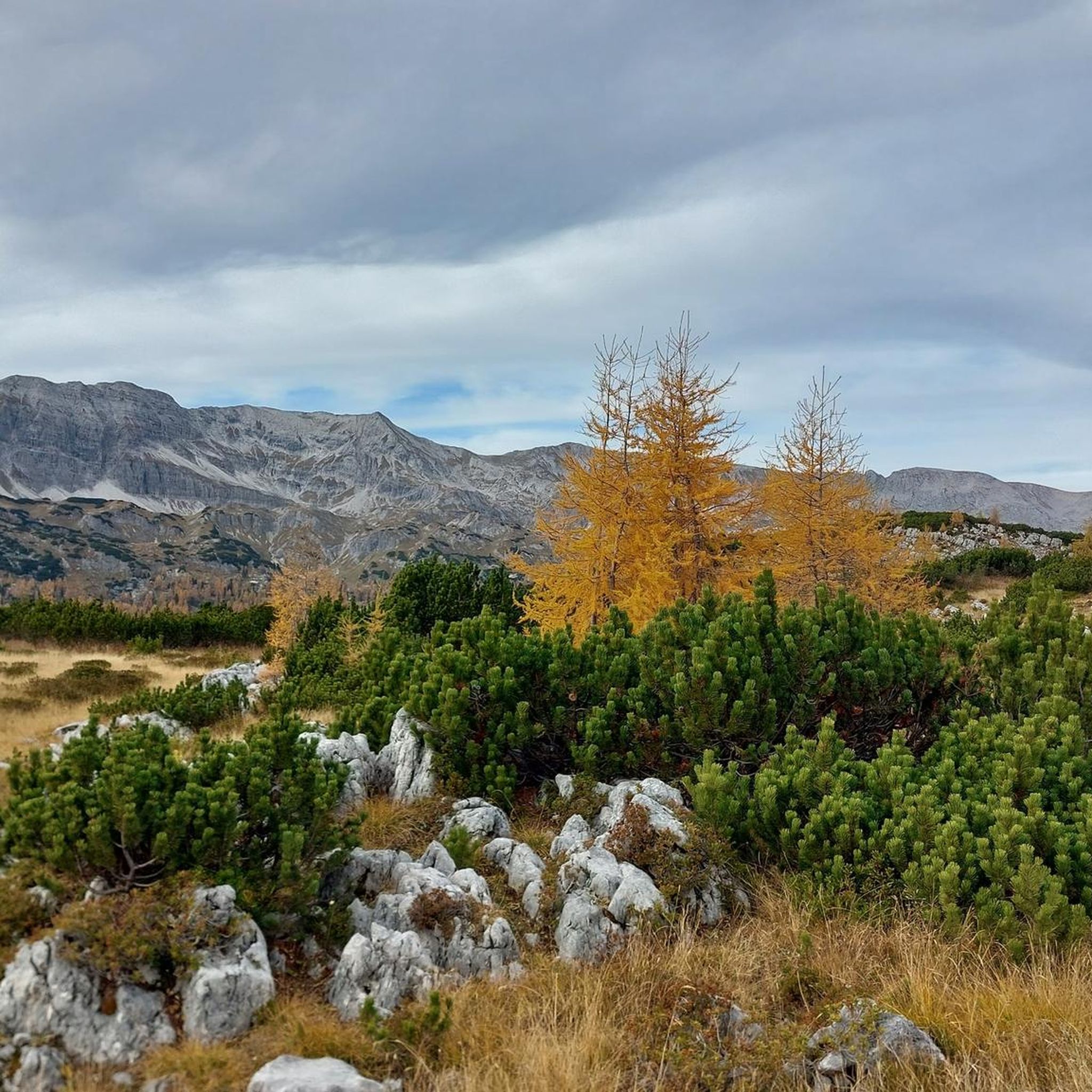
MTB Trails in Naturschutzgebiet - Ostteil Des Toten Gebirges
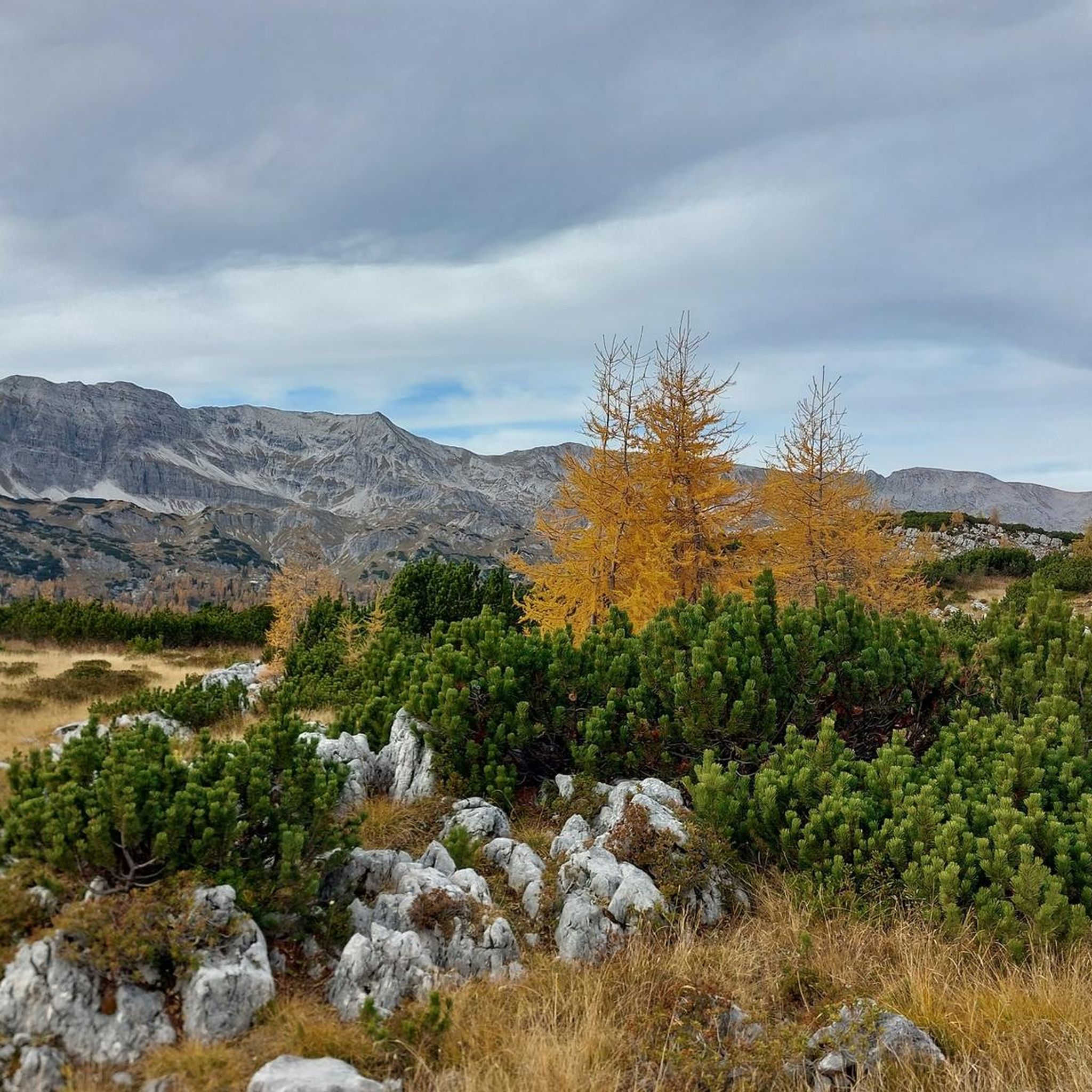
Road Cycling Routes in Naturschutzgebiet - Ostteil Des Toten Gebirges
Mountain Hikes in Naturschutzgebiet - Ostteil Des Toten Gebirges
Cycling in Naturschutzgebiet - Ostteil Des Toten Gebirges

Gravel biking in Naturschutzgebiet - Ostteil Des Toten Gebirges
Other adventures in Naturschutzgebiet - Ostteil Des Toten Gebirges


Tips from the Community

Just a few more meters downhill to two nice huts with good snacks
0
0
Beautiful and easily accessible. There is a bench in the shade under a tree with a beautiful view of the picturesque lake.
0
0
Many options for hiking short, long loops or summits.
0
0

Beautiful viewpoint with panoramic views
2
0

Cycling is prohibited from the parking lot, but as long as you stay on the road to Steirersee and cycle carefully and at a leisurely pace, there will be no problems.
0
0

Beautiful tiny mountain lake, somewhat hidden.
0
0

Thanks to the chairlift, you can get up the mountain comfortably. Information on lift times and prices: https://www.dietauplitz.com/de/sommer/.
2
0

scenically beautiful endpoint with a view of the Dachstein after a long but beautiful ascent with the MTB
0
0
Frequently Asked Questions
What kind of terrain can I expect on running trails in Naturschutzgebiet - Ostteil Des Toten Gebirges?
The region is characterized by Central Europe's largest limestone karst plateau, offering diverse terrain. You'll find extensive karst formations, including gorges and crevices, alongside majestic mountain peaks and serene alpine lakes. Trails range from mostly paved surfaces to more rugged paths, suitable for various running preferences.
Are there running routes suitable for beginners or those looking for an easier run?
Yes, the Naturschutzgebiet - Ostteil Des Toten Gebirges offers a variety of running options. There are 17 easy routes available, perfect for beginners or a relaxed jog. These typically feature less elevation gain and shorter distances, allowing you to enjoy the scenery without excessive challenge.
Can I find challenging trail running routes with significant elevation gain?
Absolutely. For experienced runners seeking a challenge, the area provides 80 difficult routes. For example, the Lawinenstein loop from Großsee is a demanding 9.8-mile (15.8 km) route with over 2,500 feet (782 m) of elevation gain, offering a strenuous workout amidst stunning mountain scenery.
Are there any circular running routes in the Naturschutzgebiet - Ostteil Des Toten Gebirges?
Many of the running routes in the region are circular, allowing you to start and end at the same point. A great option is the Steirersee Loop – View of the Steirersee loop from Krallersee, a 8-mile (12.8 km) difficult route that circles the picturesque Steirersee.
What are some notable landmarks or viewpoints I might encounter on a run?
The region is rich in natural beauty. Depending on your chosen route, you might pass by stunning alpine lakes like Offensee or Wildensee. Many trails also offer breathtaking views from summits such as Schrocken Summit or Nazogl Summit. You could also find serene spots like the South Shore of Steirersee or a Bench with a view of the Steirersee.
Are dogs allowed on the running trails in Naturschutzgebiet - Ostteil Des Toten Gebirges?
As a nature reserve, specific regulations for dogs may apply to protect wildlife and the environment. While many trails are generally dog-friendly, it's always recommended to keep dogs on a leash, especially in sensitive areas or during nesting seasons. Please check local signage for any specific restrictions on individual routes.
What do other runners say about their experience in Naturschutzgebiet - Ostteil Des Toten Gebirges?
The running routes in this nature reserve are highly rated by the komoot community, with an average score of 4.6 stars from over 100 reviews. Runners frequently praise the diverse landscapes, from karst plateaus to alpine lakes, and the variety of trails suitable for different ability levels.
Are there any mountain huts or places to rest along the running routes?
Yes, the region features a network of mountain huts that can serve as resting points or destinations for longer runs. Notable huts include the Hochmölbing Hut, Ischler Hütte, Loserhütte, Albert-Appel-Haus, and Prielschutzhaus, offering opportunities for a break or refreshment.
What is the best time of year for jogging in this region?
The Naturschutzgebiet - Ostteil Des Toten Gebirges offers excellent running conditions during spring, summer, and autumn. The diverse landscapes are particularly beautiful when the alpine flowers bloom or during the vibrant fall foliage. Winter jogging is possible, but some higher-altitude trails may be covered in snow, requiring appropriate gear and caution.
How many running routes are available in Naturschutzgebiet - Ostteil Des Toten Gebirges?
There are over 220 dedicated running routes available in the Naturschutzgebiet - Ostteil Des Toten Gebirges, catering to a wide range of fitness levels and preferences. This extensive network ensures there's always a new trail to explore.
Is public transport available to access the running trails?
While specific public transport details for every trailhead are not provided, the region is generally accessible. It's advisable to research local bus services or shuttle options that connect to popular starting points like Tauplitzsee, which is a common access point for several routes.
Are there family-friendly running trails suitable for children?
Yes, the area offers several easier routes that are suitable for families. These trails typically have gentler gradients and shorter distances, making them enjoyable for children and those looking for a less strenuous outing. Look for routes categorized as 'easy' for the most family-friendly options.
Most popular routes in Naturschutzgebiet - Ostteil Des Toten Gebirges
Most popular attractions in Naturschutzgebiet - Ostteil Des Toten Gebirges

Get inspired with the komoot mobile app


Explore more
Browse the best Running Trails & Routes in other regions.
