The best walks and hikes in Naturschutzgebiet - Ostteil Des Toten Gebirges
4.6
(9541)
61,132
hikers
792
hikes
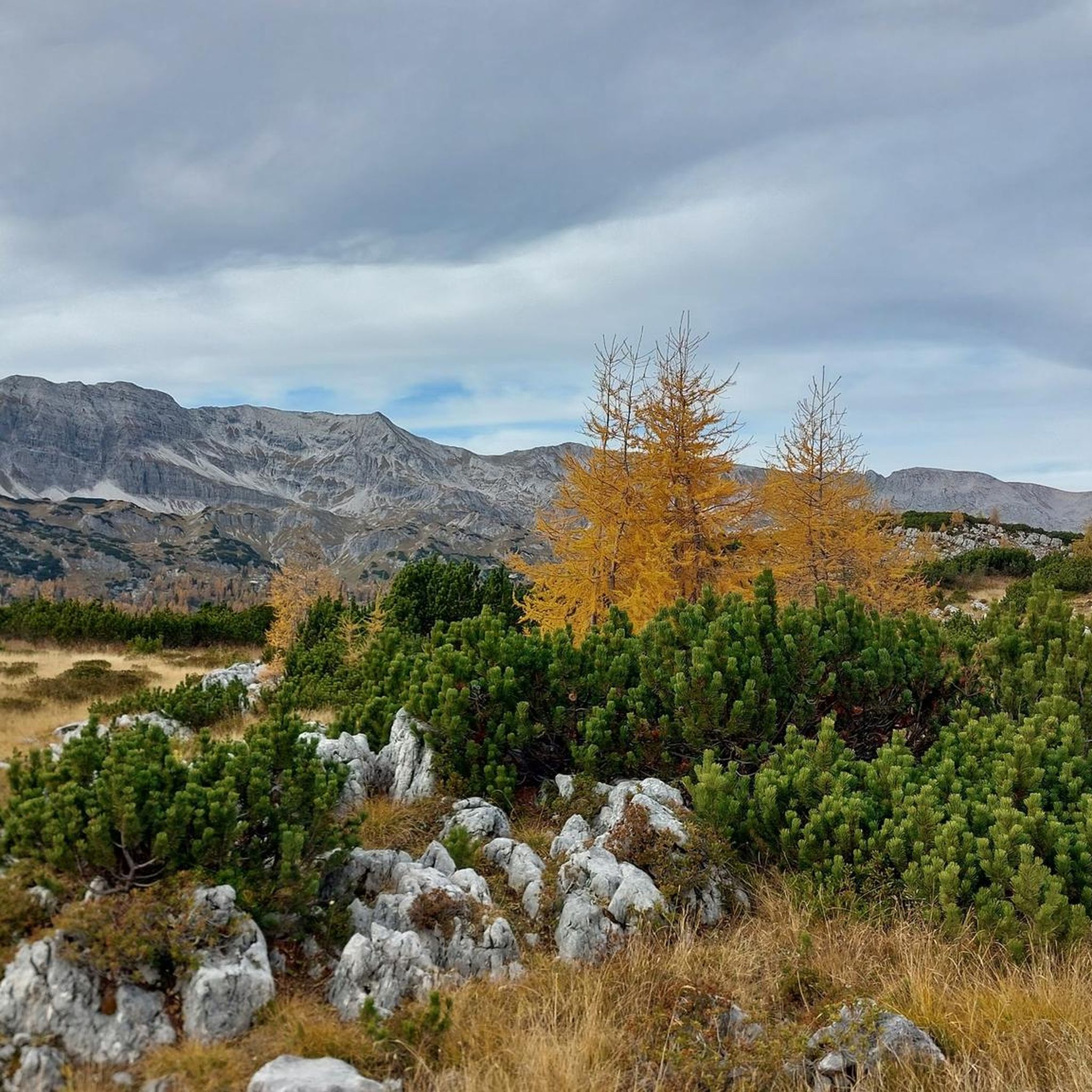
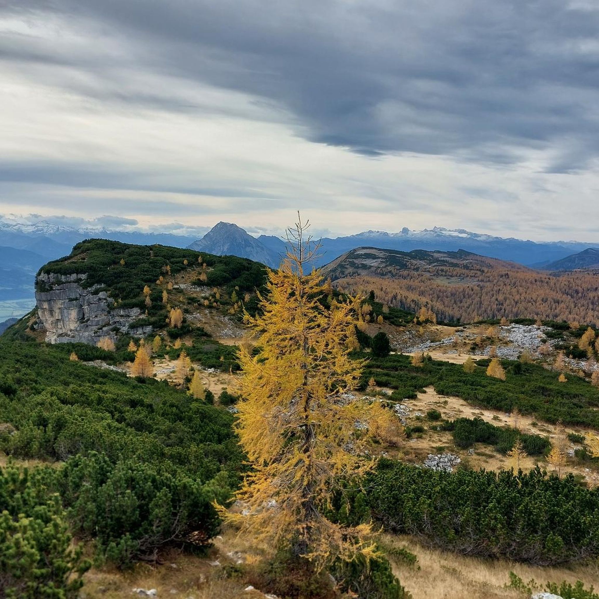
Hiking in Naturschutzgebiet - Ostteil Des Toten Gebirges offers access to a unique karst landscape within the Totes Gebirge mountain range. The region features extensive limestone formations, including hills and plateaus, with water draining quickly into the soluble rock. Prominent peaks like Warscheneck (2388m) and Großer Priel (2,515m) define the terrain, alongside forested areas and diverse flora. The area provides an extensive network of trails suitable for various hiking experiences.
Best hiking trails in Naturschutzgebiet - Ostteil Des Toten Gebirges
…Last updated: July 5, 2026
4.8
(5)
83
hikers
5.06km
02:41
380m
380m
Hard hike. Good fitness required. Sure-footedness, sturdy shoes and alpine experience required.
4.8
(113)
669
hikers
14.1km
05:07
590m
590m
Hard hike. Very good fitness required. Mostly accessible paths. Sure-footedness required.

Sign up for free
4.8
(101)
586
hikers
7.32km
02:05
170m
170m
Moderate hike. Good fitness required. Easily-accessible paths. Suitable for all skill levels.
4.3
(27)
122
hikers
12.2km
03:56
530m
530m
Moderate hike. Good fitness required. Easily-accessible paths. Suitable for all skill levels.
4.8
(64)
351
hikers
11.2km
03:55
430m
430m
Hard hike. Good fitness required. Sure-footedness, sturdy shoes and alpine experience required.
Get access to more routes and recommendations from other explorers.
Sign up for free
Already have an account?
Our route recommendations are based on thousands of hikes, rides, and runs completed by other people on komoot.
Start today with a free account
Your next adventure awaits.
Login or Signup
Popular around Naturschutzgebiet - Ostteil Des Toten Gebirges
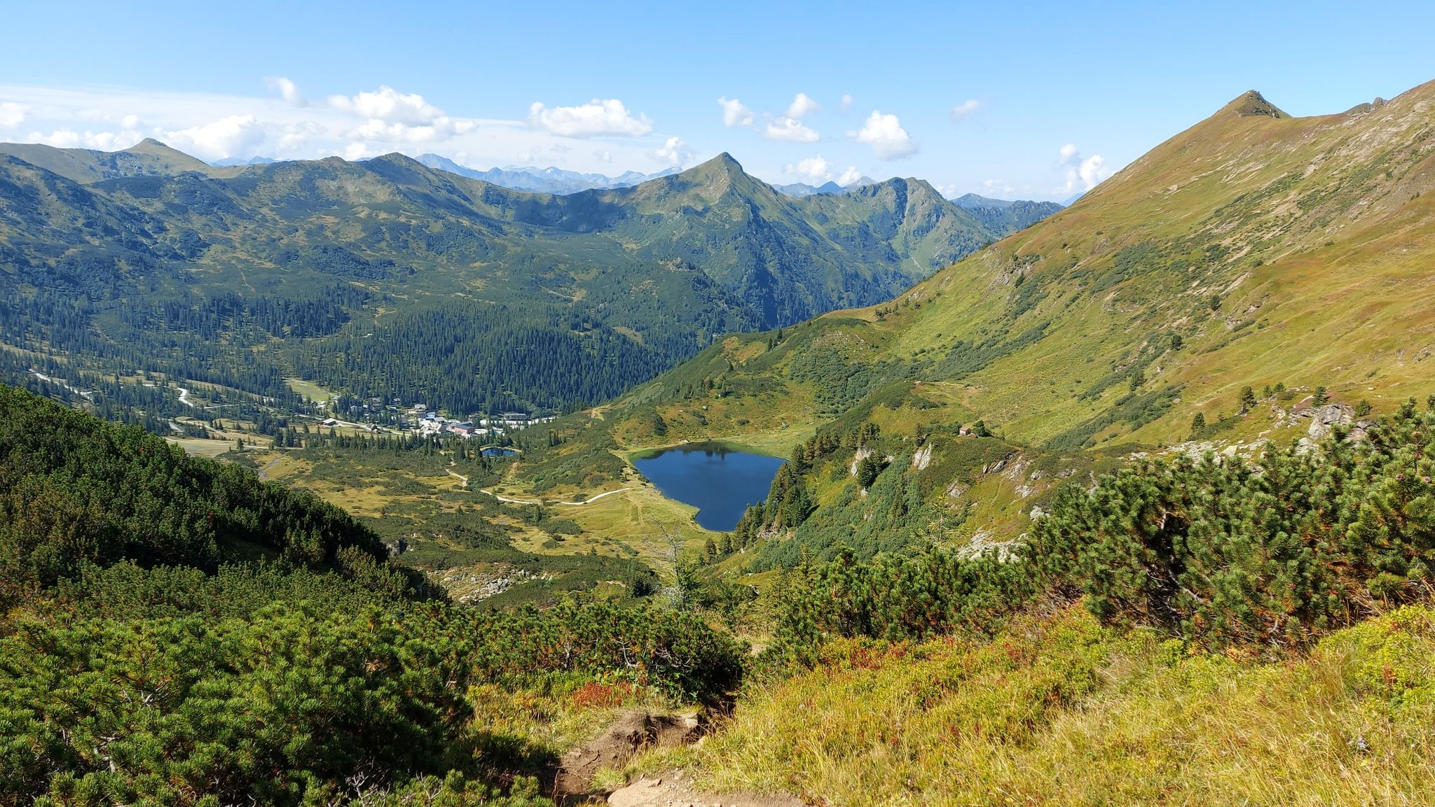
Austria's Salt Trail – On old paths through Styria

Discover Styria in Austria on foot – ‘From Glacier to Wine’ North Route
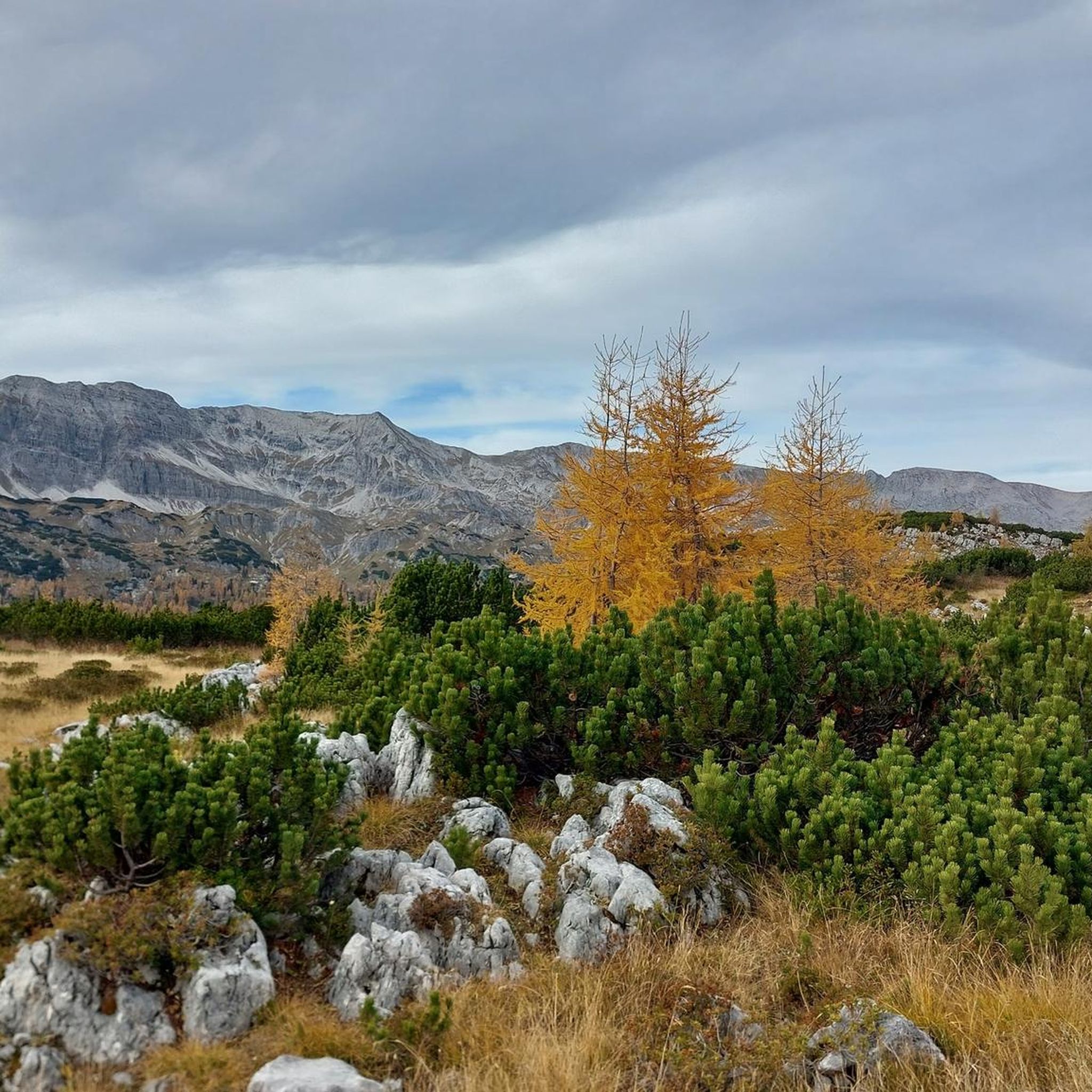
MTB Trails in Naturschutzgebiet - Ostteil Des Toten Gebirges
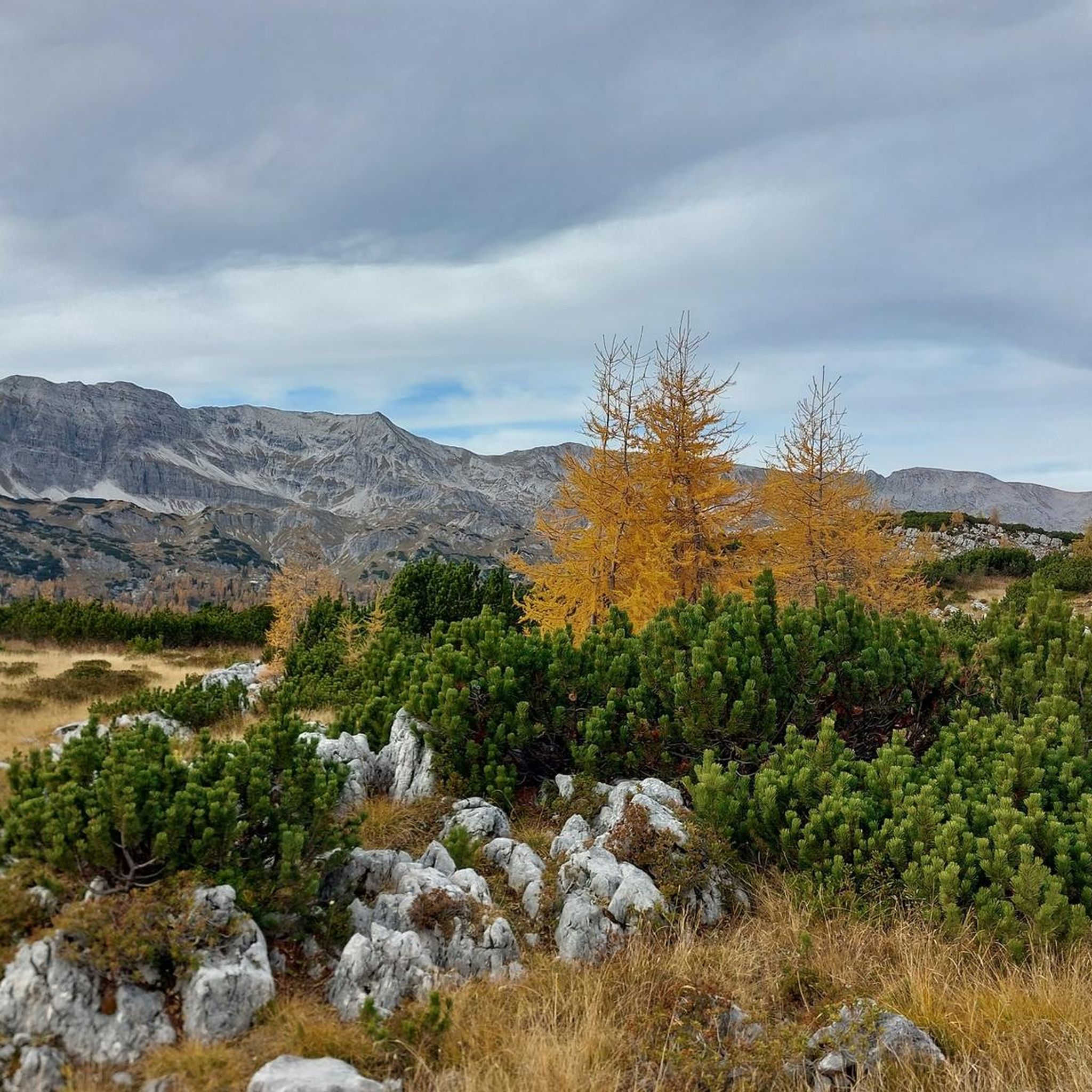
Road Cycling Routes in Naturschutzgebiet - Ostteil Des Toten Gebirges
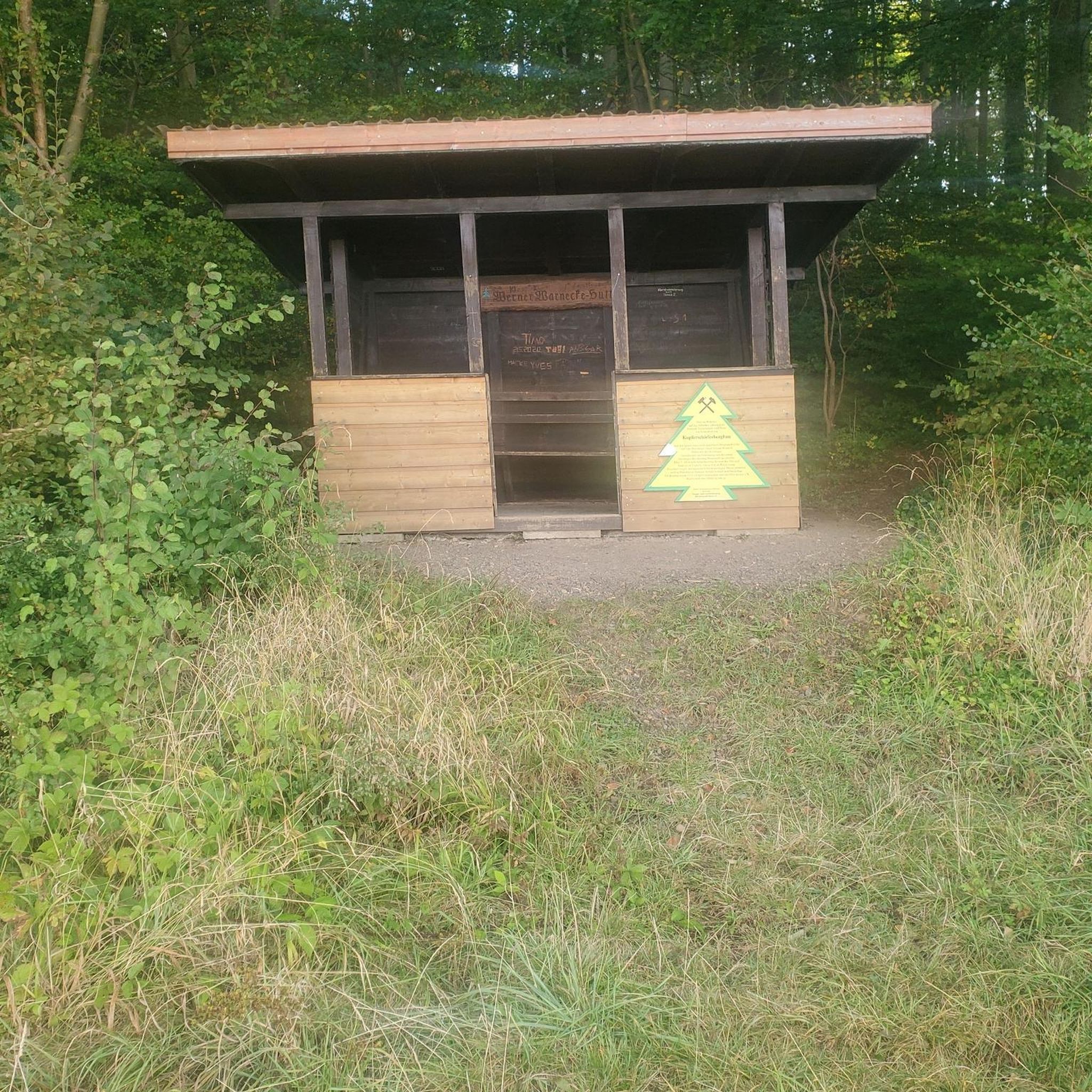
Mountain Hikes in Naturschutzgebiet - Ostteil Des Toten Gebirges
Cycling in Naturschutzgebiet - Ostteil Des Toten Gebirges

Gravel biking in Naturschutzgebiet - Ostteil Des Toten Gebirges
Running Trails in Naturschutzgebiet - Ostteil Des Toten Gebirges
Other adventures in Naturschutzgebiet - Ostteil Des Toten Gebirges


Tips from the Community

Just a few more meters downhill to two nice huts with good snacks
0
0
Beautiful and easily accessible. There is a bench in the shade under a tree with a beautiful view of the picturesque lake.
0
0

The route is also perfectly doable with a dog. The dog should, of course, be fit, healthy, and not too old or too young. We were there in October. There were few cows. The route was absolutely gorgeous.
1
0


Beautiful tiny mountain lake, somewhat hidden.
0
0

Thanks to the chairlift, you can get up the mountain comfortably. Information on lift times and prices: https://www.dietauplitz.com/de/sommer/.
2
0

There are always beautiful views of the lake
0
0

technically somewhat more demanding, good footwear and stamina are recommended for the circuit
1
0
Frequently Asked Questions
How many hiking trails are available in Naturschutzgebiet - Ostteil Des Toten Gebirges?
There are over 800 hiking routes in Naturschutzgebiet - Ostteil Des Toten Gebirges. This extensive network includes trails ranging from easy walks to challenging mountain ascents, catering to various experience levels.
What kind of landscapes can I expect while hiking in this region?
The region is characterized by its dramatic karst landscape, often described as a 'stunning lunar-like landscape with boulders.' You'll encounter extensive limestone formations, high peaks like Warscheneck (2388m) and Großer Priel (2,515m), and forested hills. Despite significant precipitation, the upper slopes are relatively arid due to water quickly draining into the soluble rock, emerging as springs in the valleys.
Are there easy hiking trails suitable for beginners or casual walkers?
Yes, Naturschutzgebiet - Ostteil Des Toten Gebirges offers nearly 300 easy hiking routes. A good option for a more relaxed experience is the Großsee Lakeside Trail – View of Großsee loop from Tauplitzsee, a moderate 7.3 km trail that takes about 2 hours 5 minutes to complete, offering scenic views of the Tauplitzalm area.
What are some notable landmarks or viewpoints to see along the trails?
Hikers can discover several natural monuments and viewpoints. The View of Schwarzsee offers picturesque lake vistas, while the Nazogl Summit and Hochmölbing Summit provide expansive views of the surrounding Totes Gebirge.
Are there any circular hiking routes in Naturschutzgebiet - Ostteil Des Toten Gebirges?
Yes, many trails in the region are designed as loops. For example, the Krallersee – Lawinenstein Summit loop from Tauplitzsee is a moderate 12.1 km route that offers diverse scenery, including lakes and summit views.
What is the best time of year to go hiking in this area?
The Naturschutzgebiet - Ostteil Des Toten Gebirges is suitable for both summer and winter trekking. Summer offers access to the full network of trails and diverse flora like snow roses and gentians. Winter provides opportunities for snowshoeing and ski touring, though some routes may require specific equipment and experience.
Are there mountain huts or places to stay overnight along the trails?
Yes, the area is well-equipped with dozens of mountain huts, providing essential refuge and accommodation for longer expeditions. Notable huts include the Hochmölbing Hut and Traweng Hut, which can be found along various routes.
Is public transport available to access hiking trailheads?
Yes, public transport facilitates access to numerous starting points for various routes within Naturschutzgebiet - Ostteil Des Toten Gebirges. This makes it convenient to reach different sections of the extensive trail network without needing a private vehicle.
What do other hikers enjoy most about hiking in Naturschutzgebiet - Ostteil Des Toten Gebirges?
The area is highly rated by the komoot community, with an average score of 4.6 stars from over 9,200 reviews. Hikers often praise the unique karst landscapes, the pristine and undisturbed nature of the range, and the variety of trails from leisurely walks to challenging mountain ascents.
Can I bring my dog on the hiking trails?
While specific regulations for dogs can vary, generally, dogs are permitted on hiking trails in the Naturschutzgebiet - Ostteil Des Toten Gebirges. It is always recommended to keep dogs on a leash, especially in nature reserve areas, to protect wildlife and ensure a pleasant experience for all hikers.
Are there any challenging multi-day tours available?
Yes, the Totes Gebirge offers challenging multi-day tours for experienced hikers. The extensive network of trails and numerous mountain huts make it possible to plan longer expeditions, allowing you to explore more remote parts of this unique karst landscape.
What kind of wildlife might I encounter?
The Totes Gebirge is a relatively undisturbed range, making it ideal for observing native wildlife. Hikers may spot chamois on the steep slopes, and the diverse flora includes alpine rose flowers, gentians, and snow roses.
Most popular routes in Naturschutzgebiet - Ostteil Des Toten Gebirges
Most popular attractions in Naturschutzgebiet - Ostteil Des Toten Gebirges

Get inspired with the komoot mobile app


Explore more
Browse the best Hikes in other regions.
