The best cycling routes in Naturschutzgebiet - Ostteil Des Toten Gebirges
4.6
(2282)
18,075
riders
173
rides
Touring cycling routes in Naturschutzgebiet - Ostteil Des Toten Gebirges traverse a landscape characterized by dramatic karst topography and the Northern Limestone Alps. The region features arid high-altitude plateaus, deep valleys, and picturesque mountain lakes. While higher elevations present rugged terrain, the valleys and lower sections offer an extensive network of trails suitable for touring cyclists.
Best touring cycling routes in Naturschutzgebiet - Ostteil Des Toten Gebirges
- The most popular touring cycling route is Großsee Lakeside Trail – View of…
Last updated: August 25, 2026
6
riders
15.2km
01:31
440m
450m
Moderate bike ride. Good fitness required. Mostly paved surfaces. Suitable for all skill levels.
5.0
(1)
10
riders
Easy bike ride. Great for any fitness level. Mostly paved surfaces. Suitable for all skill levels.

Sign up for free
4.2
(19)
111
riders
Moderate bike ride. Good fitness required. Mostly paved surfaces. Suitable for all skill levels.
4.6
(5)
76
riders
Easy bike ride. Great for any fitness level. Mostly paved surfaces. Suitable for all skill levels.
4.7
(6)
75
riders
21.1km
01:20
130m
130m
Easy bike ride. Great for any fitness level. Mostly paved surfaces. Suitable for all skill levels.
Get access to more routes and recommendations from other explorers.
Sign up for free
Already have an account?
Our route recommendations are based on thousands of hikes, rides, and runs completed by other people on komoot.
Start today with a free account
Your next adventure awaits.
Login or Signup
Popular around Naturschutzgebiet - Ostteil Des Toten Gebirges
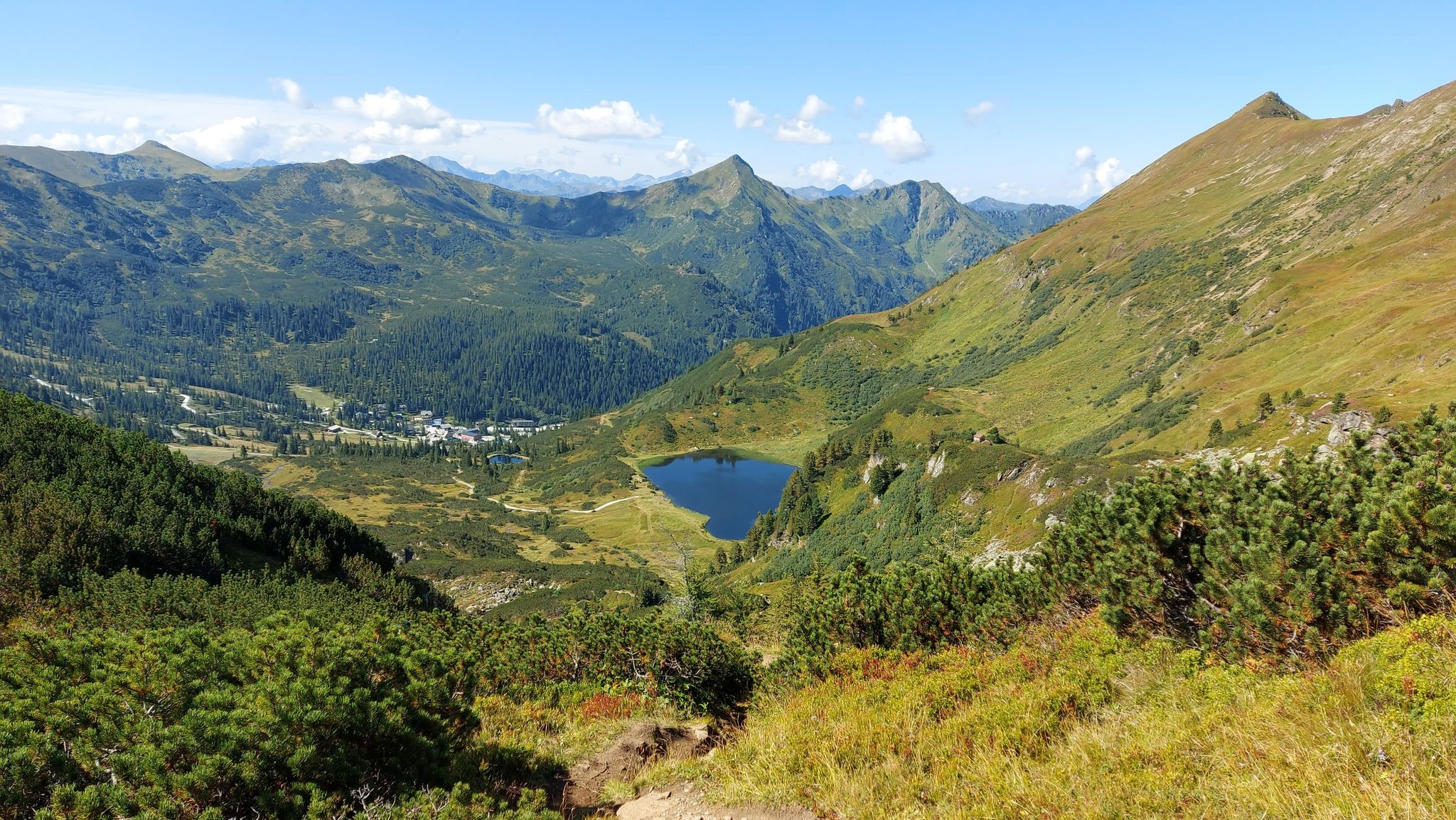
Austria's Salt Trail – On old paths through Styria

Discover Styria in Austria on foot – ‘From Glacier to Wine’ North Route
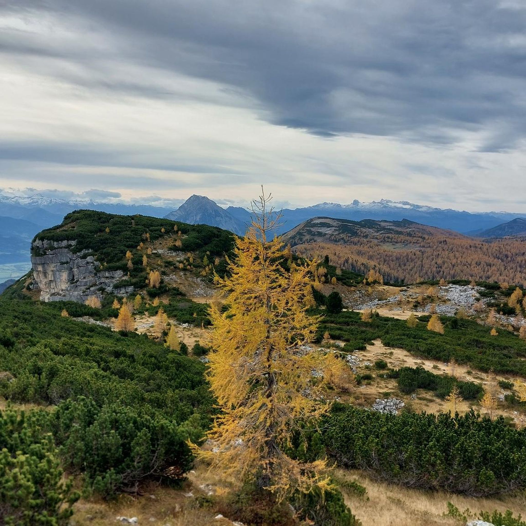
Hiking in Naturschutzgebiet - Ostteil Des Toten Gebirges
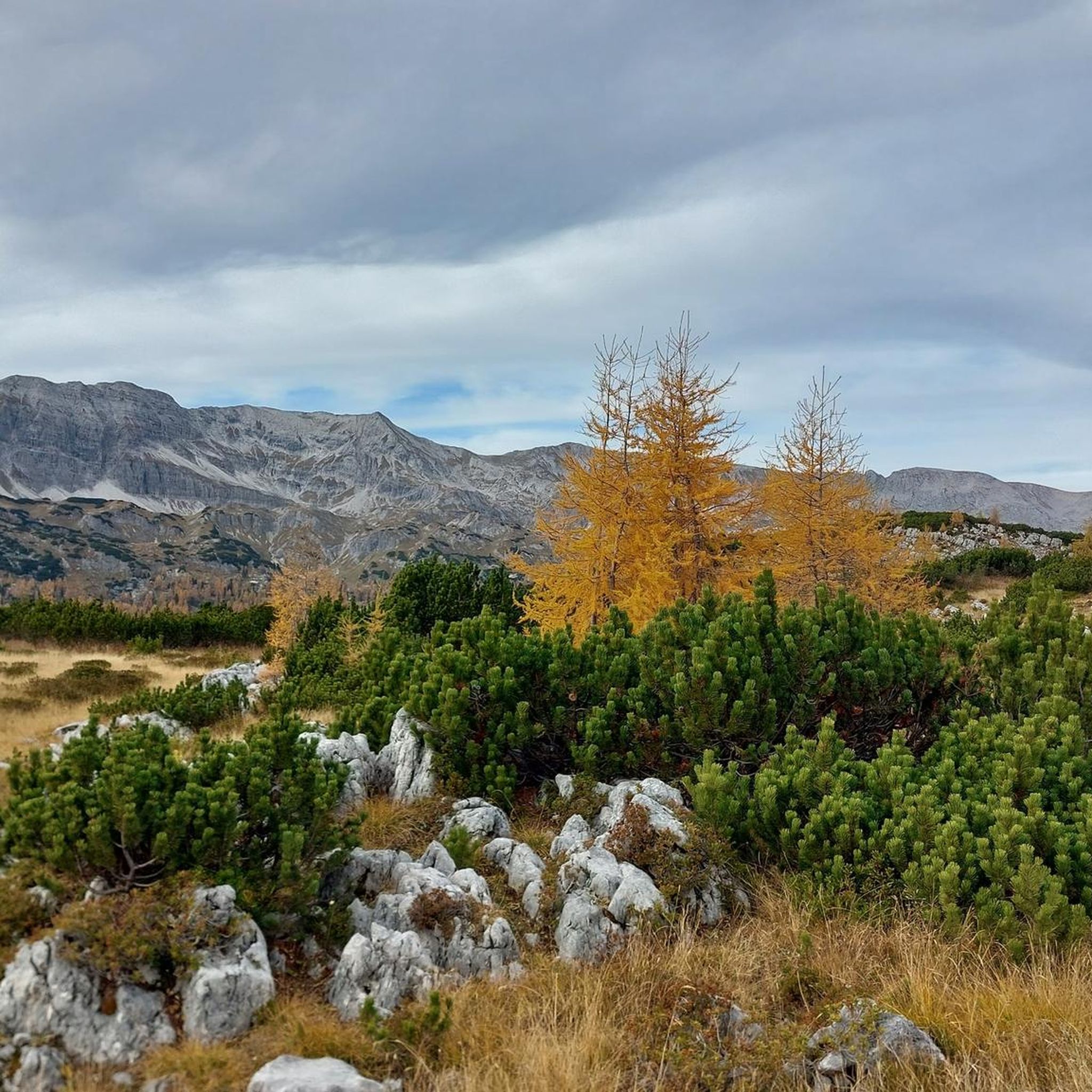
MTB Trails in Naturschutzgebiet - Ostteil Des Toten Gebirges
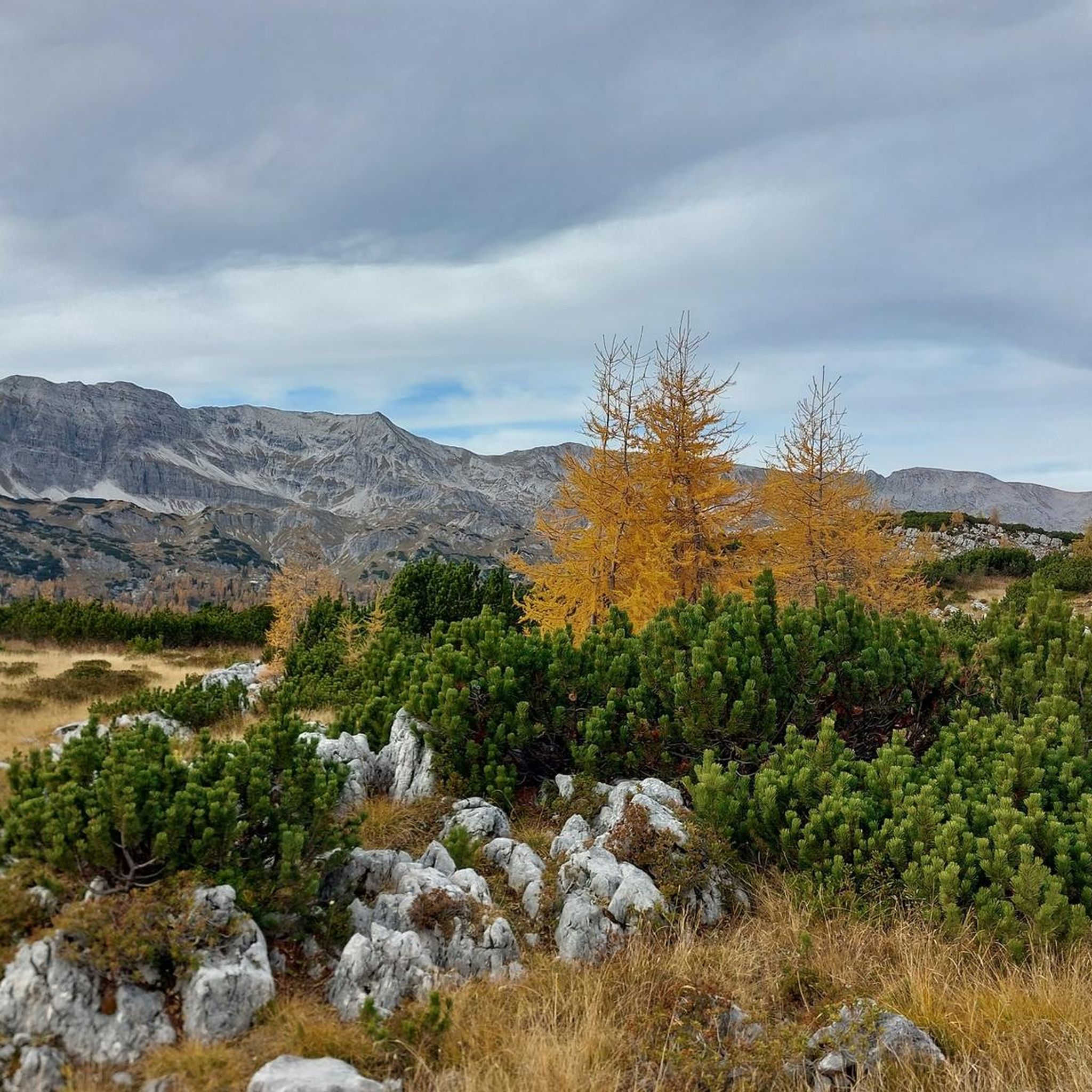
Road Cycling Routes in Naturschutzgebiet - Ostteil Des Toten Gebirges
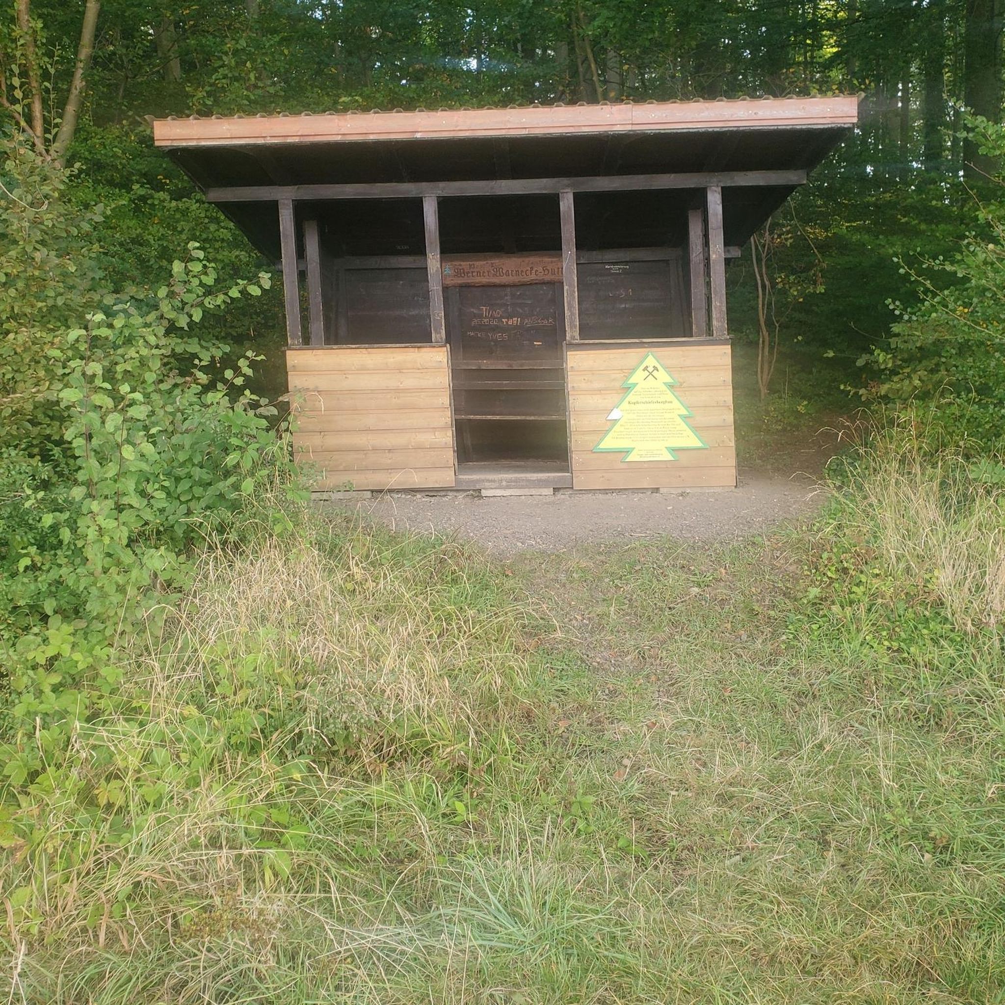
Mountain Hikes in Naturschutzgebiet - Ostteil Des Toten Gebirges

Gravel biking in Naturschutzgebiet - Ostteil Des Toten Gebirges
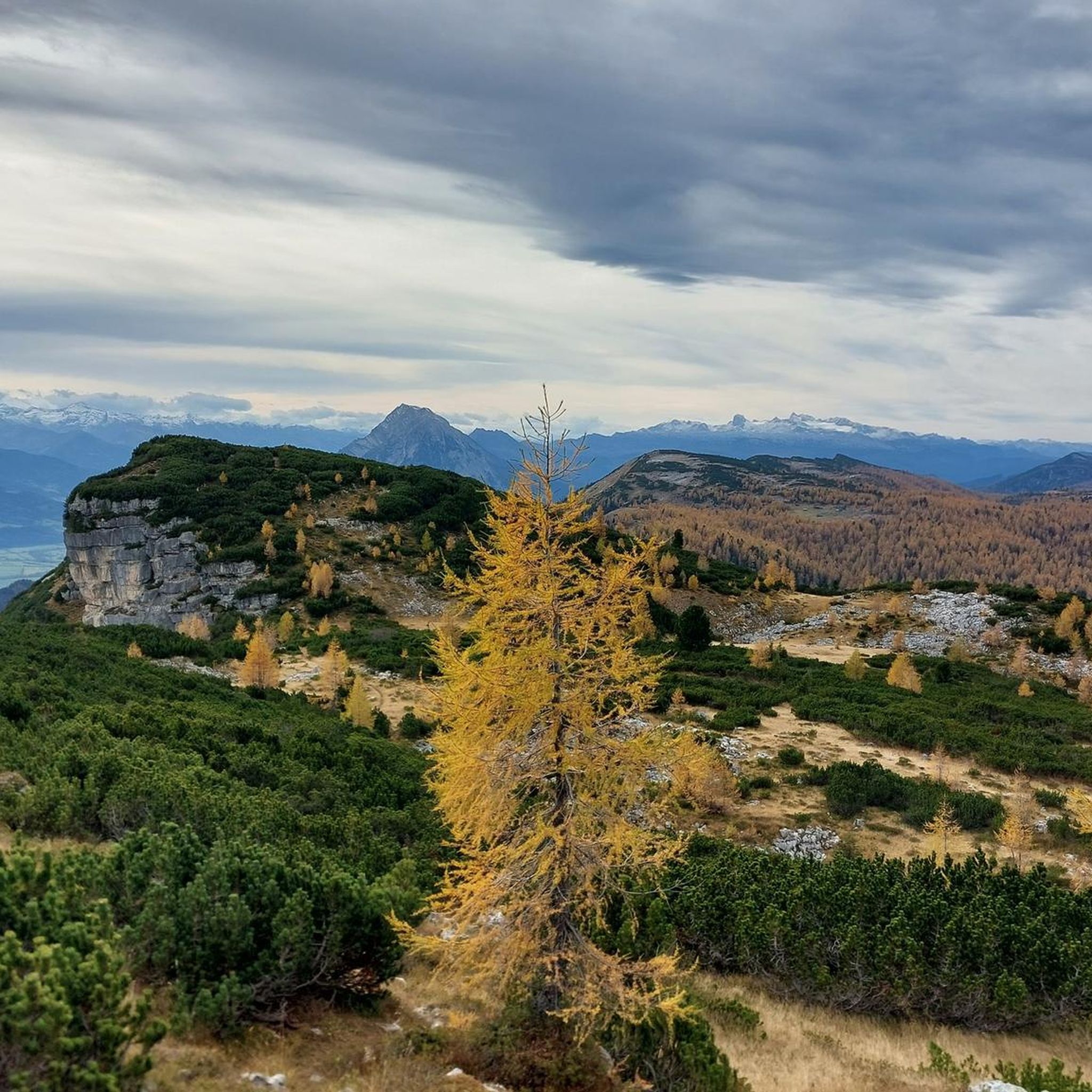
Running Trails in Naturschutzgebiet - Ostteil Des Toten Gebirges
Other adventures in Naturschutzgebiet - Ostteil Des Toten Gebirges


Tips from the Community

Many options for hiking short, long loops or summits.
0
0

Cycling is prohibited from the parking lot, but as long as you stay on the road to Steirersee and cycle carefully and at a leisurely pace, there will be no problems.
0
0

scenically beautiful endpoint with a view of the Dachstein after a long but beautiful ascent with the MTB
0
0


10 people were killed in the mine accident in 1998. More about this tragedy: https://www.stern.de/panorama/weltgeschehen/grubenunglueck-von-lassing--verschuetteter-bergmann-georg-hainzl-berichtet-8172324.html
0
0

Warm peace and quiet outside of the season. Pure enjoyment and great views.
0
0

Very nice, spacious alpine area. Great for hiking - it's a shame that cycling on the alpine paths is mostly forbidden.
0
0

Frequently Asked Questions
How many touring cycling routes are available in Naturschutzgebiet - Ostteil Des Toten Gebirges?
There are over 175 touring cycling routes in Naturschutzgebiet - Ostteil Des Toten Gebirges, offering a wide range of options for different skill levels and preferences. The komoot community has explored these diverse trails over 17,000 times.
What kind of terrain can I expect on touring cycling routes in this region?
The region features a diverse landscape. While the higher elevations are characterized by rugged karst plateaus and towering peaks of the Northern Limestone Alps, the valleys and lower sections offer an extensive network of trails suitable for touring cyclists. You'll find routes traversing riverine landscapes, passing picturesque mountain lakes, and offering scenic views.
Are there touring cycling routes suitable for beginners or families with children?
Yes, the region offers a good selection of easy routes perfect for beginners or families. For example, the Weißenbach riverbed – Playground with Mountain View loop from Tennisplatz SG. Weißenbach is an easy 6.5-mile (10.4 km) path that follows the Weißenbach riverbed and provides pleasant mountain views. Another easy option is the Rest area at Enns Bridge – Enns River Crossing loop from Weißenbach bei Liezen, covering about 12.6 miles (20.3 km) through riverine landscapes.
What are some notable natural features or landmarks I can see along the cycling routes?
The region is known for its dramatic karst landscapes, towering peaks, and clear mountain lakes. While cycling, you might encounter views of significant summits like Schrocken Summit or Hochmölbing Summit. The area also boasts beautiful mountain lakes such as the Wildensee, Steirersee, Almsee, Altausseer See, Grundlsee, and Toplitzsee, which are popular excursion destinations and provide stunning scenic points.
Are there any circular touring cycling routes available?
Yes, many routes in the Naturschutzgebiet - Ostteil Des Toten Gebirges are designed as loops, allowing you to start and end at the same point. An example is the Enns River Crossing – Alte Dollacher Straße loop from Weißenbach bei Liezen, a 13.5-mile (21.7 km) trail through riverine landscapes.
What is the best time of year for touring cycling in Naturschutzgebiet - Ostteil Des Toten Gebirges?
The best time for touring cycling generally spans from late spring to early autumn (May to October). During these months, the weather is typically more stable, and trails are clear of snow, especially in the lower valleys. The region's diverse landscapes, from lush valleys to arid plateaus, offer varied experiences depending on the season.
Are there any challenging touring cycling routes for experienced riders?
Yes, while many routes are easy to moderate, the region also offers more challenging options, particularly those that venture into the more rugged, higher-altitude areas or feature significant elevation changes. Approximately 58 routes are classified as difficult, providing a good test for experienced touring cyclists.
What do other touring cyclists say about the routes in this region?
The touring cycling routes in Naturschutzgebiet - Ostteil Des Toten Gebirges are highly rated by the komoot community, with an average score of 4.6 stars from over 2000 reviews. Cyclists often praise the breathtaking scenery, the variety of terrain, and the well-maintained trails that cater to different ability levels.
Are there places to stop for refreshments or accommodation along the routes?
Yes, the area benefits from mountain huts and various accommodations, especially in the valleys and around the mountain lakes. These can serve as excellent resting points or overnight stays for longer cycling excursions. You can find more information on specific huts like Hochmölbing Hut or Traweng Hut.
Is it possible to bring dogs on the touring cycling routes?
While specific regulations for dogs on cycling routes can vary, generally, dogs are welcome on many trails in the Naturschutzgebiet - Ostteil Des Toten Gebirges, especially in the lower and less sensitive areas. It's always recommended to keep dogs on a leash, especially in nature reserve areas, and to be mindful of wildlife and other trail users. Check local signage for any specific restrictions.
What are the options for parking and public transport near the cycling routes?
The region offers various parking options at trailheads and near popular starting points for routes, particularly in and around the towns and villages in the valleys. For public transport, regional bus services often connect the main settlements, which can be useful for accessing different parts of the trail network or for one-way routes. Specific information on public transport connections and parking facilities can often be found on local tourism websites or at the start of individual routes.
Are there any routes that offer views of the prominent peaks of the Totes Gebirge?
Many routes, particularly those in the valleys surrounding the main massif, offer panoramic views of the imposing peaks. For instance, the Rest area at Enns Bridge – Enns River Crossing loop from Pyhrn Pyhrnerhof provides scenic vistas that include the surrounding mountains. The highest peak, Großer Priel (2,515 meters), and others like Spitzmauer and Warscheneck, often form a dramatic backdrop to your ride.
Most popular routes in Naturschutzgebiet - Ostteil Des Toten Gebirges
Most popular attractions in Naturschutzgebiet - Ostteil Des Toten Gebirges

Get inspired with the komoot mobile app


Explore more
Browse the best Cycling routes in other regions.
