The best mountain hikes in Naturschutzgebiet - Ostteil Des Toten Gebirges
4.8
(160)
2,948
hikers
77
hikes
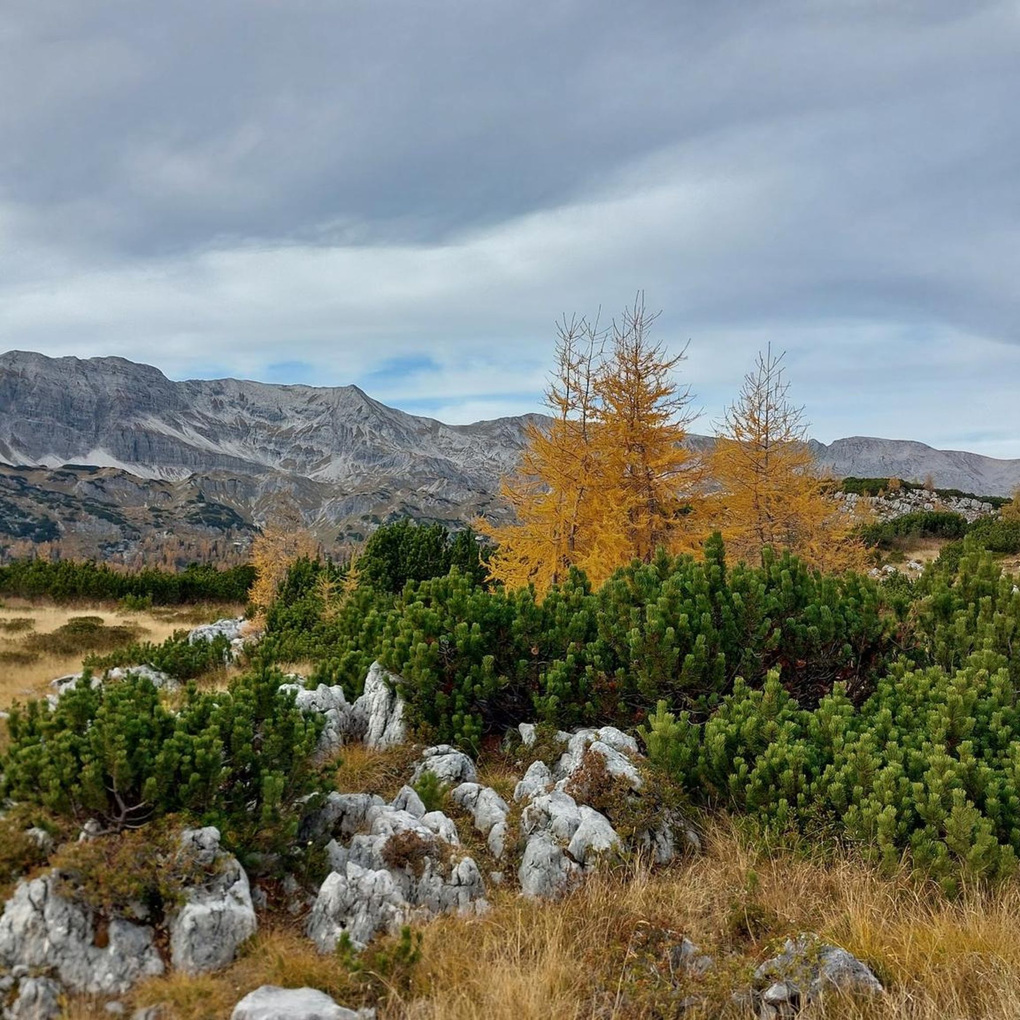
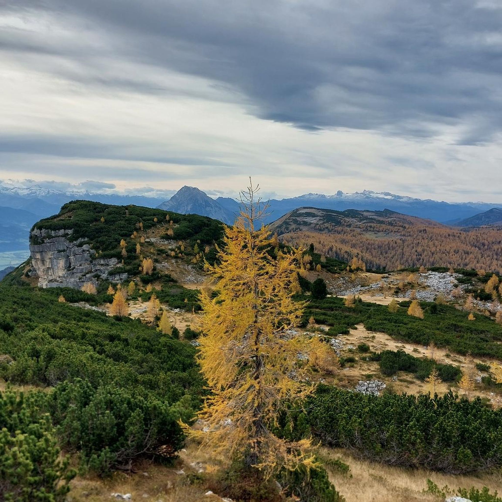
Mountaineering in Naturschutzgebiet - Ostteil Des Toten Gebirges offers a diverse alpine landscape characterized by rugged limestone formations, high-altitude plateaus, and deep valleys. The region, part of the larger Totes Gebirge range, features challenging ascents and expansive views across the Austrian Alps. Its nature reserve status ensures a preserved environment for exploring its unique geological features and varied ecosystems.
Best mountaineering routes in Naturschutzgebiet - Ostteil Des Toten Gebirges
- The most popular mountaineering route is Traweng Summit Cross loop from…
Last updated: July 1, 2026
5.0
(1)
13
hikers
3.78km
02:17
340m
340m
Hard mountaineering route. Good fitness required. Sure-footedness, sturdy shoes and alpine experience required.
5.0
(2)
14
hikers
2.65km
02:01
330m
330m
Hard mountaineering route. Good fitness required. Sure-footedness, sturdy shoes and alpine experience required.

Sign up for free
7
hikers
17.7km
07:13
840m
840m
Hard mountaineering route. Very good fitness required. Sure-footedness, sturdy shoes and alpine experience required.
5.0
(1)
6
hikers
4.56km
02:33
380m
380m
Hard mountaineering route. Good fitness required. Sure-footedness, sturdy shoes and alpine experience required.
5.0
(3)
71
hikers
8.20km
03:32
430m
430m
Hard mountaineering route. Good fitness required. Sure-footedness, sturdy shoes and alpine experience required.
Get access to more routes and recommendations from other explorers.
Sign up for free
Already have an account?
Our route recommendations are based on thousands of hikes, rides, and runs completed by other people on komoot.
Start today with a free account
Your next adventure awaits.
Login or Signup
Popular around Naturschutzgebiet - Ostteil Des Toten Gebirges
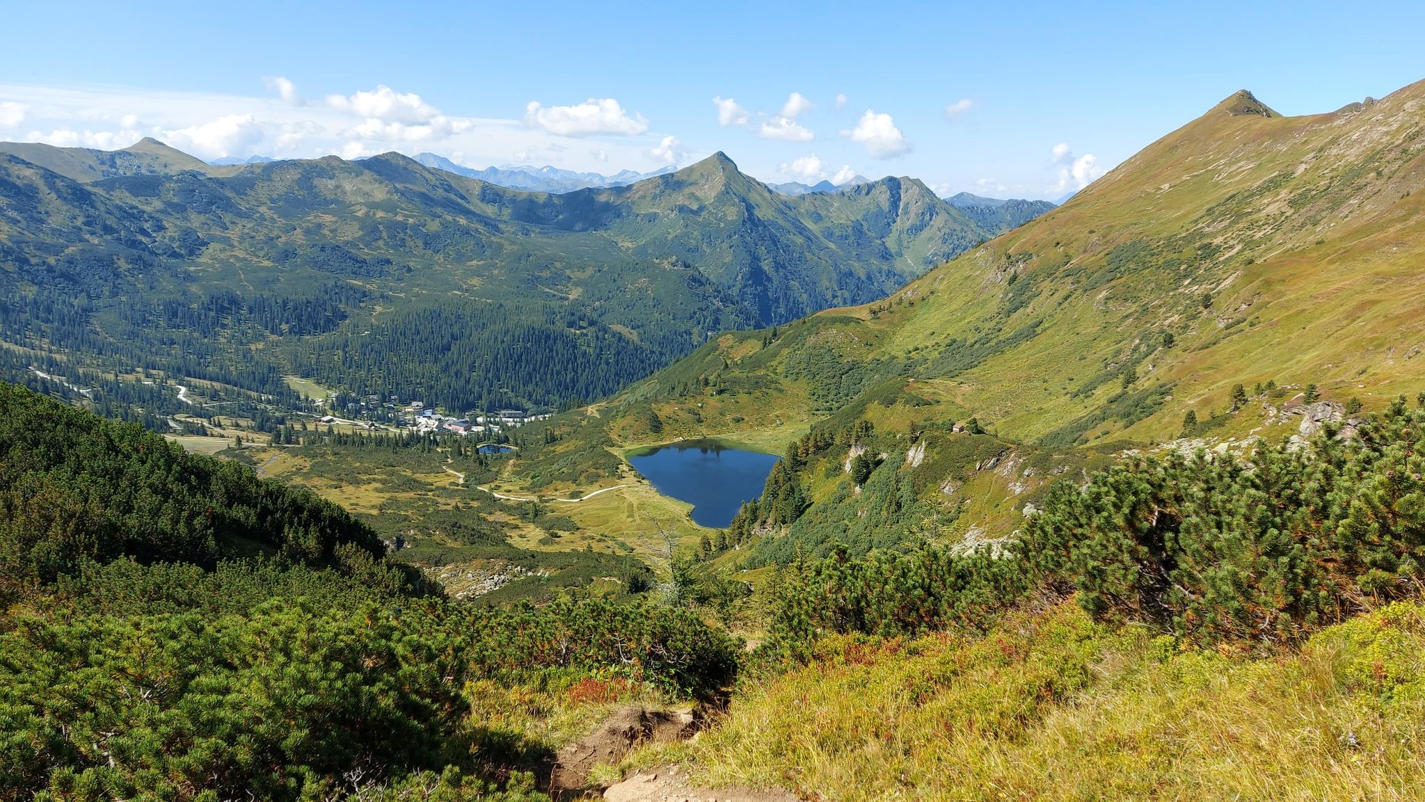
Austria's Salt Trail – On old paths through Styria

Discover Styria in Austria on foot – ‘From Glacier to Wine’ North Route
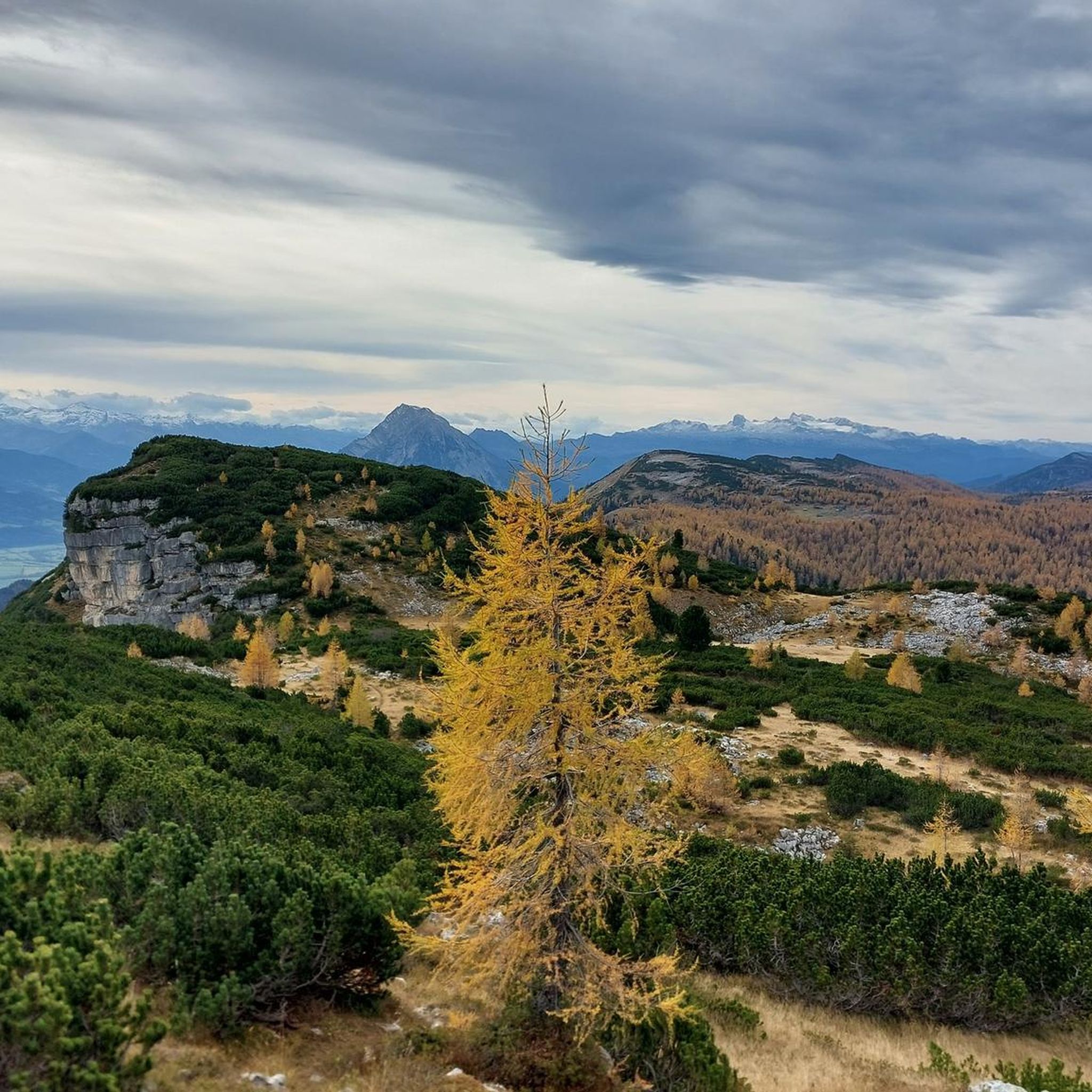
Hiking in Naturschutzgebiet - Ostteil Des Toten Gebirges
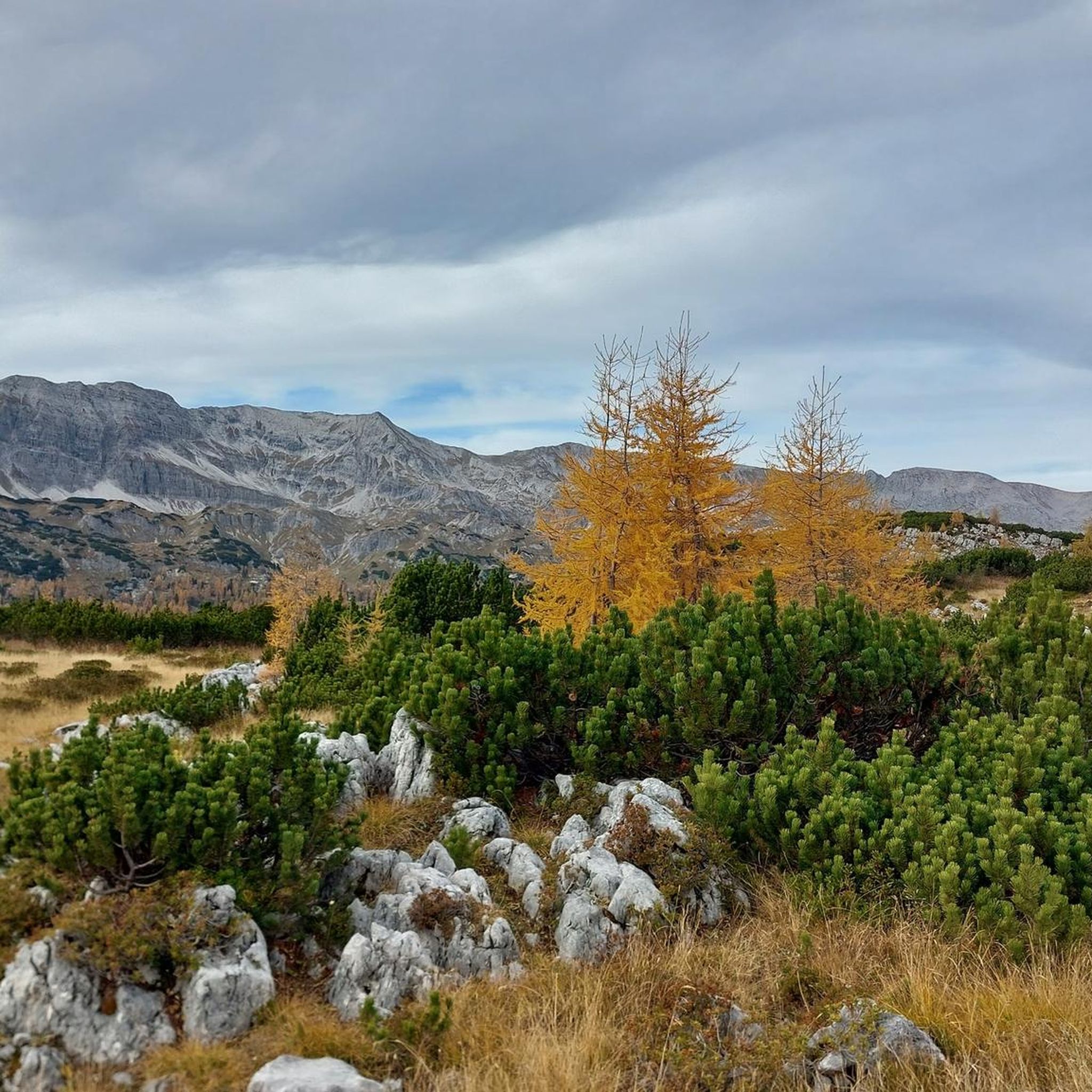
MTB Trails in Naturschutzgebiet - Ostteil Des Toten Gebirges
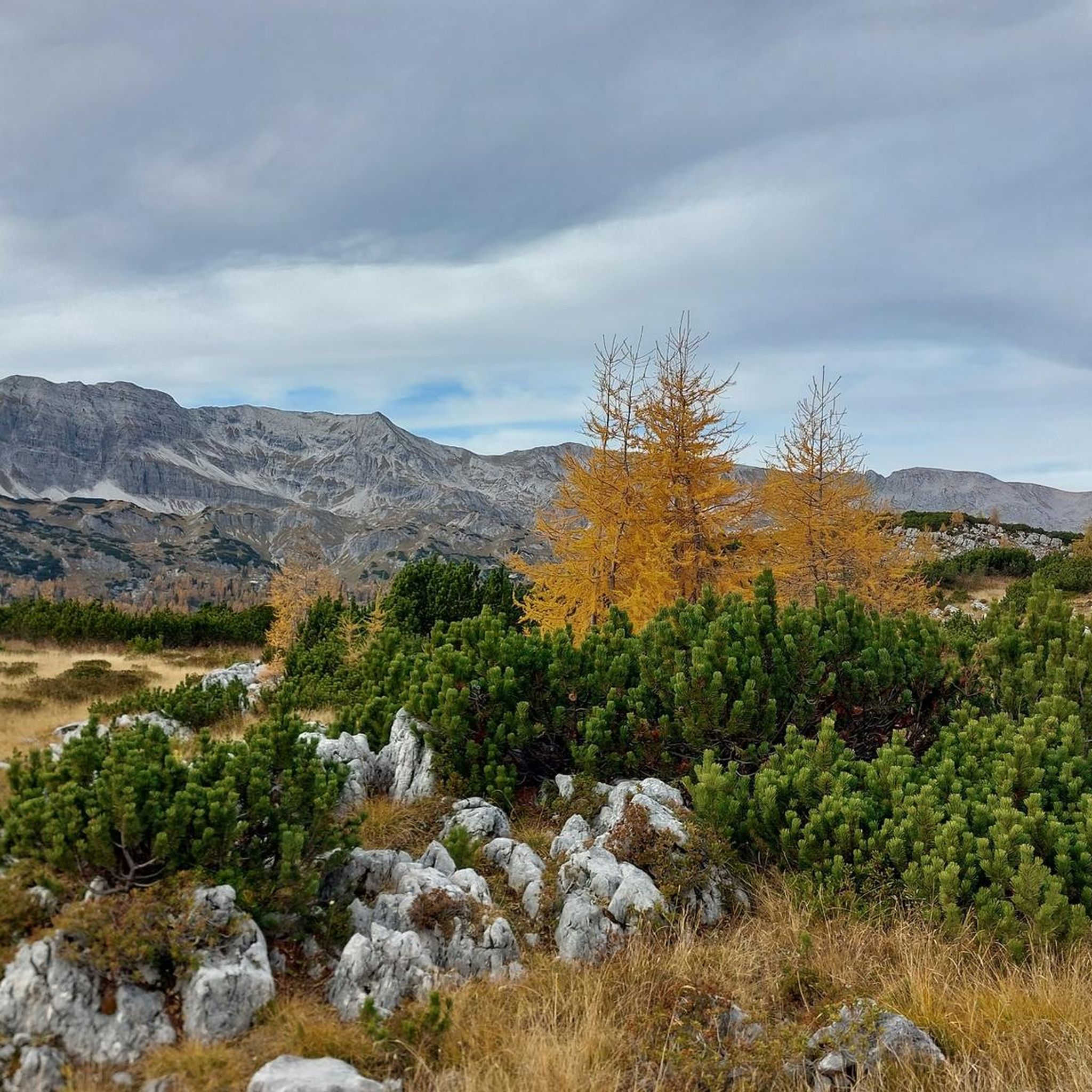
Road Cycling Routes in Naturschutzgebiet - Ostteil Des Toten Gebirges
Cycling in Naturschutzgebiet - Ostteil Des Toten Gebirges

Gravel biking in Naturschutzgebiet - Ostteil Des Toten Gebirges
Running Trails in Naturschutzgebiet - Ostteil Des Toten Gebirges
Other adventures in Naturschutzgebiet - Ostteil Des Toten Gebirges


Tips from the Community

Many options for hiking short, long loops or summits.
0
0


The route is also perfectly doable with a dog. The dog should, of course, be fit, healthy, and not too old or too young. We were there in October. There were few cows. The route was absolutely gorgeous.
1
0

Way to the via ferrata?
0
0


Cycling is prohibited from the parking lot, but as long as you stay on the road to Steirersee and cycle carefully and at a leisurely pace, there will be no problems.
0
0

Quite steep. The rope safety devices are there for a reason, but all the dangerous spots are well insured.
0
0

scenically beautiful endpoint with a view of the Dachstein after a long but beautiful ascent with the MTB
0
0
Frequently Asked Questions
What is the overall difficulty level of mountaineering routes in Naturschutzgebiet - Ostteil Des Toten Gebirges?
The region is known for its challenging alpine terrain. Out of approximately 89 mountaineering routes, 61 are classified as difficult, 26 as moderate, and only 2 as easy. This indicates a strong focus on more demanding expeditions suitable for experienced mountaineers.
Are there any beginner-friendly mountaineering routes in Naturschutzgebiet - Ostteil Des Toten Gebirges?
While the area is predominantly geared towards experienced mountaineers with many difficult routes, there are a couple of easier options available. These routes offer a gentler introduction to the alpine environment, though proper preparation and equipment are always essential.
What are some of the more challenging mountaineering routes in the area?
For those seeking a significant challenge, the Leistalm – Salzsteigjoch loop from Tauplitzsee is a difficult 10.7-mile (17.2 km) path traversing alpine pastures and a mountain pass. Another demanding option is the Nazogl Summit (2,057 m) – Angerkogel Summit (2,114 m) loop from Panorama- und Wanderkarte, Hinteregger Alm, which covers 11 km and involves over 900 meters of ascent.
Are there circular mountaineering routes available?
Yes, many routes in Naturschutzgebiet - Ostteil Des Toten Gebirges are designed as loops, allowing you to start and end at the same point. Examples include the Traweng Summit Cross loop from Tauplitzsee and the Traweng Summit Cross – Grazer Hut loop from Krallersee, offering varied scenery without retracing your steps.
What is the best time of year for mountaineering in Naturschutzgebiet - Ostteil Des Toten Gebirges?
The prime season for mountaineering typically runs from late spring to early autumn (June to September). During this period, snow has usually melted from higher elevations, and weather conditions are generally more stable, offering better visibility and safer passage. Always check local weather forecasts before heading out.
What are the winter mountaineering conditions like in Naturschutzgebiet - Ostteil Des Toten Gebirges?
Winter mountaineering in this region is for highly experienced and well-equipped individuals only. The area experiences significant snowfall, and routes can be subject to avalanche danger, icy conditions, and extreme cold. Many trails become impassable or require specialized winter gear like snowshoes, crampons, and ice axes. It's crucial to consult local alpine guides and avalanche reports before attempting winter ascents.
Are there any huts or places to stop for refreshments along the mountaineering routes?
Yes, the region features several mountain huts that provide shelter, food, and sometimes overnight stays. Notable huts include the Hochmölbing Hut, Traweng Hut, and Steinbrechhütte. These huts are excellent points for rest and to experience traditional alpine hospitality.
What are some notable viewpoints or attractions to see while mountaineering?
Beyond the stunning mountain vistas, you can encounter several points of interest. The South Shore of Steirersee offers picturesque lake views, while the Bench with a view of the Steirersee provides a perfect photo opportunity. Summit crosses, like those on Traweng, also serve as significant landmarks.
What do other mountaineers enjoy most about the routes in Naturschutzgebiet - Ostteil Des Toten Gebirges?
The routes in Naturschutzgebiet - Ostteil Des Toten Gebirges are highly rated by the komoot community, with an average score of 4.8 stars from over 200 reviews. Mountaineers frequently praise the rugged limestone peaks, expansive high-altitude plateaus, and the challenging ascents that offer rewarding panoramic views across the Austrian Alps. The preserved environment of the nature reserve is also a highlight.
Are dogs allowed on the mountaineering trails?
Generally, dogs are permitted on trails in the Austrian Alps, but specific rules can vary within a nature reserve. It's always best to keep dogs on a leash, especially in alpine pastures where livestock may be present, and to ensure they do not disturb wildlife. Always check local regulations or signage at trailheads for any specific restrictions within the Naturschutzgebiet - Ostteil Des Toten Gebirges.
Are there options for multi-day mountaineering trips?
Yes, the extensive network of trails and the presence of mountain huts make multi-day mountaineering trips a popular option. You can plan longer expeditions by linking several routes and utilizing the huts for overnight stays, allowing for deeper exploration of the Totes Gebirge range and its diverse landscapes.
What kind of gear should I bring for mountaineering in this region?
Given the challenging alpine terrain, essential gear includes sturdy mountaineering boots, appropriate layered clothing for varying weather conditions, a waterproof jacket, a backpack with sufficient water and food, a first-aid kit, navigation tools (map, compass, GPS), and sun protection. For more difficult or exposed routes, a helmet, via ferrata set, or even ropes might be necessary. Always check the specific requirements for your chosen route.
Most popular routes in Naturschutzgebiet - Ostteil Des Toten Gebirges
Most popular attractions in Naturschutzgebiet - Ostteil Des Toten Gebirges

Get inspired with the komoot mobile app


Explore more
Browse the best Mountain Hikes & Routes in other regions.
