The best hikes from bus stations in Trollstigen Landskapsvernområde
4.5
(774)
5,274
hikers
44
hikes
Bus station hiking trails in Trollstigen Landskapsvernområde are characterized by dramatic mountain landscapes, deep valleys, and impressive waterfalls. The region features towering peaks such as Bispen and Kongen, alongside lush valleys and gorges. Hiking routes often provide views of the iconic Trollstigen road and the cascading Stigfossen waterfall. The terrain varies from historic paths to challenging mountain ascents, offering diverse experiences for hikers.
Best bus station hiking trails in Trollstigen Landskapsvernområde
- The most popular bus station hiking route is Bispevatnet…
Last updated: June 25, 2026
4.9
(20)
98
hikers
4.49km
02:03
320m
320m
Moderate hike. Good fitness required. Mostly accessible paths. Sure-footedness required.
4.8
(8)
47
hikers
2.67km
00:49
80m
80m
Hard hike. Great for any fitness level. Sure-footedness, sturdy shoes and alpine experience required.

Sign up for free
18
hikers
7.45km
04:08
810m
810m
Hard hike. Good fitness required. Sure-footedness, sturdy shoes and alpine experience required.
5.0
(1)
3
hikers
2.85km
01:41
320m
320m
Moderate hike. Good fitness required. Mostly accessible paths. Sure-footedness required.
4.0
(6)
23
hikers
2.17km
00:36
40m
40m
Easy hike. Great for any fitness level. Easily-accessible paths. Suitable for all skill levels.
Get access to more routes and recommendations from other explorers.
Sign up for free
Already have an account?
Our route recommendations are based on thousands of hikes, rides, and runs completed by other people on komoot.
Start today with a free account
Your next adventure awaits.
Login or Signup
Popular around Trollstigen Landskapsvernområde
Other adventures in Trollstigen Landskapsvernområde

Tips from the Community

Well done on the Trollstiegen pass
0
0
Not for people with a fear of heights, but a must for everyone else 😘
0
0

With a magnificent view of the valley!
2
0

Very nice place. Nice view down into the gorge.
0
0

If you walk up a little bit the view becomes a lot better
0
0

Norway's most famous serpentine road should be visited early because it gets crowded during peak season.
2
0

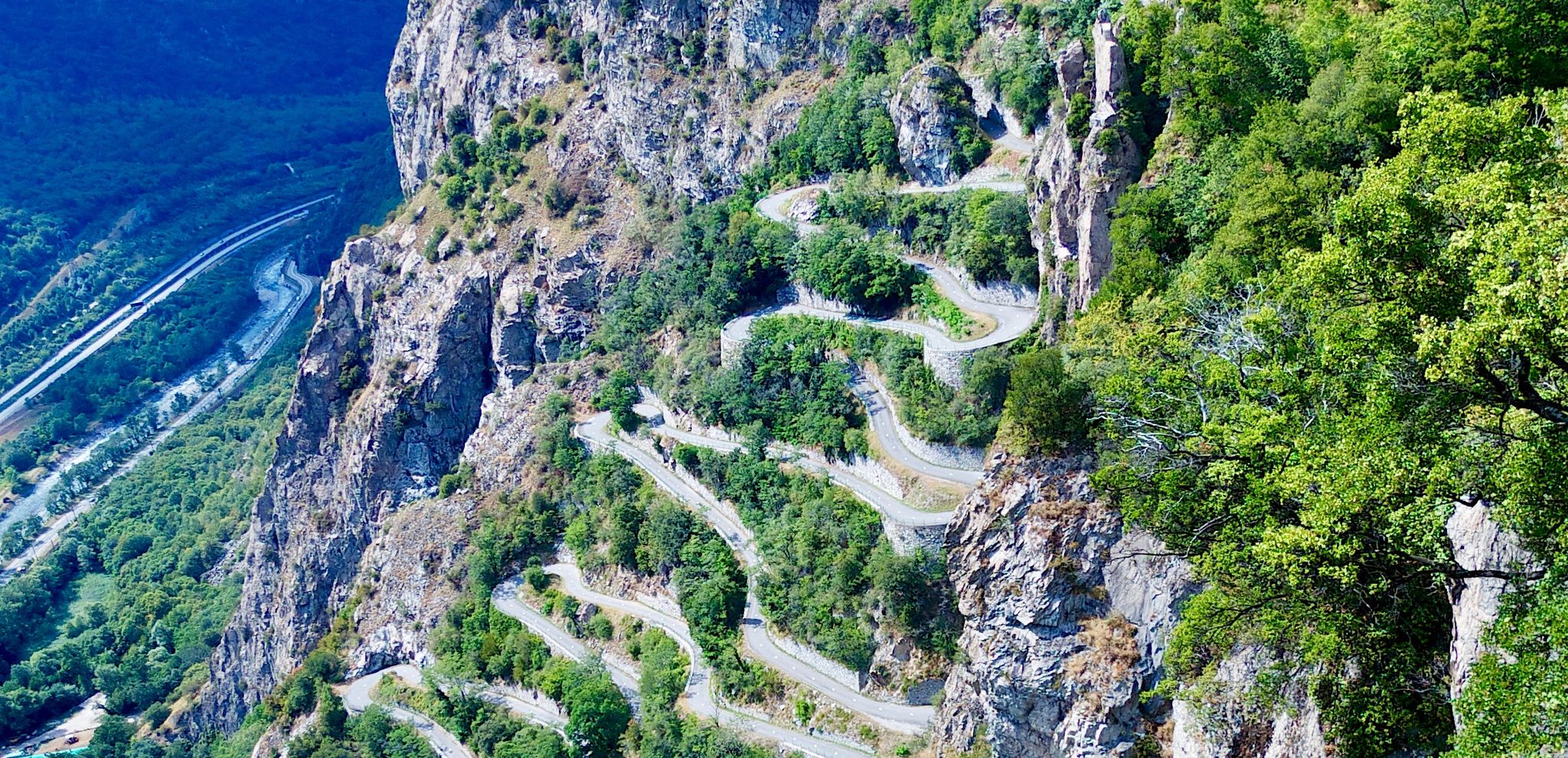
The Trollstigen is one of the most impressive mountain roads in Europe. It climbs a good 400 meters in 11 hairpin bends and connects Romsdalen with Geiranger. The viewing platforms offer a fantastic view of the pass. But the most impressive part, for me, is the crossing of the 320-meter-high waterfall, Stigfossen.
8
1

The climb from Andalsnes is closed until July 14, 2025, due to landslide repairs, but the south side of Trollstigen is open up to the viewpoint. On a clear day, you can see the switchbacks – a must-see on any 🇳🇴 trip!
0
0
Frequently Asked Questions
How many bus-accessible hiking trails are available in Trollstigen Landskapsvernområde?
There are 11 hiking trails in Trollstigen Landskapsvernområde that are accessible from bus stations, offering a range of experiences from moderate to difficult.
Are there any easy hiking trails accessible by bus in Trollstigen Landskapsvernområde?
Yes, there are 2 easy trails accessible by bus. While many routes in the region are challenging, you can find options like the Bispevatnet – Trollstigen Visitor Center loop from Rauma which offers a moderate experience with stunning views.
What kind of terrain can I expect on bus-accessible hikes in Trollstigen Landskapsvernområde?
The terrain in Trollstigen Landskapsvernområde is incredibly diverse, featuring steep mountains, lush valleys, and deep gorges. You can expect paths that follow historic routes, ascend alongside impressive waterfalls like Stigfossen, and offer panoramic views from high plateaus. Some trails, like the Trollstigen Visitor Center – Trollstigen loop from Brønnsletta, provide direct views of the iconic Trollstigen road.
What natural landmarks or viewpoints can I see along these bus-accessible trails?
Many trails offer breathtaking views of the region's dramatic landscape. You can expect to see the iconic Trollstigen road, the powerful Stigfossen waterfall, and towering peaks like Bispen, Kongen, and Dronninga. Key viewpoints include the View of Trollstigen and Stigfossen Waterfall and the View of Trollstigen, often accessible from the Trollstigen Visitor Center.
Are there any circular hiking routes that start and end near bus stops?
Yes, several routes offer a circular experience starting from accessible points. For instance, the Stigrøra – Bispevatnet loop from Rauma is a moderate option that allows you to return to your starting point after exploring the beautiful Bispevatnet lake.
Are these bus-accessible trails suitable for families?
While many trails in Trollstigen Landskapsvernområde are challenging, there are options that can be enjoyed by families, particularly those with some hiking experience. Look for shorter loops or trails with less elevation gain, often found near the Trollstigen Visitor Center, which provide stunning views without extreme difficulty.
Can I bring my dog on these bus-accessible hiking trails?
Generally, dogs are welcome on hiking trails in Trollstigen Landskapsvernområde, but it's always best to check local regulations for specific areas or protected zones. Ensure your dog is on a leash, especially in areas with livestock or wildlife, and always clean up after them.
What do other hikers enjoy most about hiking in Trollstigen Landskapsvernområde?
The area is highly rated by the komoot community, with an average score of 4.5 stars from over 750 ratings. Reviewers often praise the dramatic mountain scenery, the impressive waterfalls like Stigfossen, and the unique experience of hiking along historic paths like the Kløvstien Trail.
What is the best time of year to hike these bus-accessible trails?
The hiking season in Trollstigen Landskapsvernområde typically runs from late spring to early autumn (roughly June to September), when the roads are open and the weather is most favorable. Outside of this period, snow and ice can make many trails inaccessible or dangerous. Always check local conditions and forecasts before heading out.
Are there any trails that lead to a lake or water feature?
Yes, the region is known for its beautiful water features. The Bispevatnet – Trollstigen Visitor Center loop from Rauma will take you towards the mesmerizing blue-green Bispevatnet lake, offering a rewarding destination for your hike.
What are some good starting points for bus-accessible hikes in the region?
Excellent starting points for bus-accessible hikes include the Trollstigen Visitor Center, which offers facilities and direct access to several trails, and areas near the historic Kløvstien trail, which follows the original route up Trollstigen.
Most popular routes in Trollstigen Landskapsvernområde
Most popular attractions in Trollstigen Landskapsvernområde

Get inspired with the komoot mobile app


Explore more
Browse the best Hikes in other regions.
