The best walks and hikes in Trollstigen Landskapsvernområde
4.5
(752)
5,204
hikers
18
hikes
Hiking in Trollstigen Landskapsvernområde features dramatic and diverse natural landscapes in Western Norway. The region is characterized by steep mountainsides, lush valleys, and towering waterfalls, providing a backdrop for various activities. Impressive peaks such as Bispen (1,462 meters) and Kongen (1,614 meters) encircle the area, offering challenging hiking opportunities. The terrain includes both high mountain plateaus and the winding Trollstigen road.
Best hiking trails in Trollstigen Landskapsvernområde
- The most popular hiking route is Bispevatnet Trail, a 4.0 miles (6.5 km) trail that takes 3 hours 33 minutes to complete, leading to the blue-green Bispevatnet Lake.
- Another top favourite among local hikers is Skarfjellenden – Trollstigen landskapsvernområde, a moderate 3.7 miles (5.9 km) path offering panoramic views of the surrounding mountains.
- Local hikers also love the Hike in the mighty mountains at the foot of Trollstigen, a 1.3 miles (2.1 km) trail leading through dramatic mountain scenery, often completed in about 42 minutes.
- Hiking in Trollstigen Landskapsvernområde is defined by steep mountainsides, towering waterfalls, and lush valleys. The network offers options for easy walks and very demanding mountain ascents.
- The routes in Trollstigen Landskapsvernområde are highly rated by the komoot community with an average score of 4.4 stars from over 280 reviews. More than 1800 hikers have used komoot to explore Trollstigen Landskapsvernområde's varied terrain.
Last updated: May 27, 2026
4.4
(5)
43
hikers
6.47km
03:33
630m
630m
Hike to the stunning blue-green Bispevatnet lake in Trollstigen landskapsvernområde, a difficult 4.0-mile trail with 2081 feet of gain.
4.5
(6)
29
hikers
2.09km
00:42
100m
100m
Hard hike. Great for any fitness level. Sure-footedness, sturdy shoes and alpine experience required.

Sign up for free
5.0
(6)
12
hikers
5.88km
02:28
500m
500m
Moderate hike. Good fitness required. Easily-accessible paths. Suitable for all skill levels.
4.9
(20)
98
hikers
4.49km
02:03
320m
320m
Moderate hike. Good fitness required. Mostly accessible paths. Sure-footedness required.
5.0
(8)
67
hikers
6.42km
02:42
440m
440m
Hard hike. Good fitness required. Sure-footedness, sturdy shoes and alpine experience required.
Get access to more routes and recommendations from other explorers.
Sign up for free
Already have an account?
Our route recommendations are based on thousands of hikes, rides, and runs completed by other people on komoot.
Start today with a free account
Your next adventure awaits.
Login or Signup
Popular around Trollstigen Landskapsvernområde
Other adventures in Trollstigen Landskapsvernområde

Tips from the Community

Norway's most famous serpentine road should be visited early because it gets crowded during peak season.
1
0

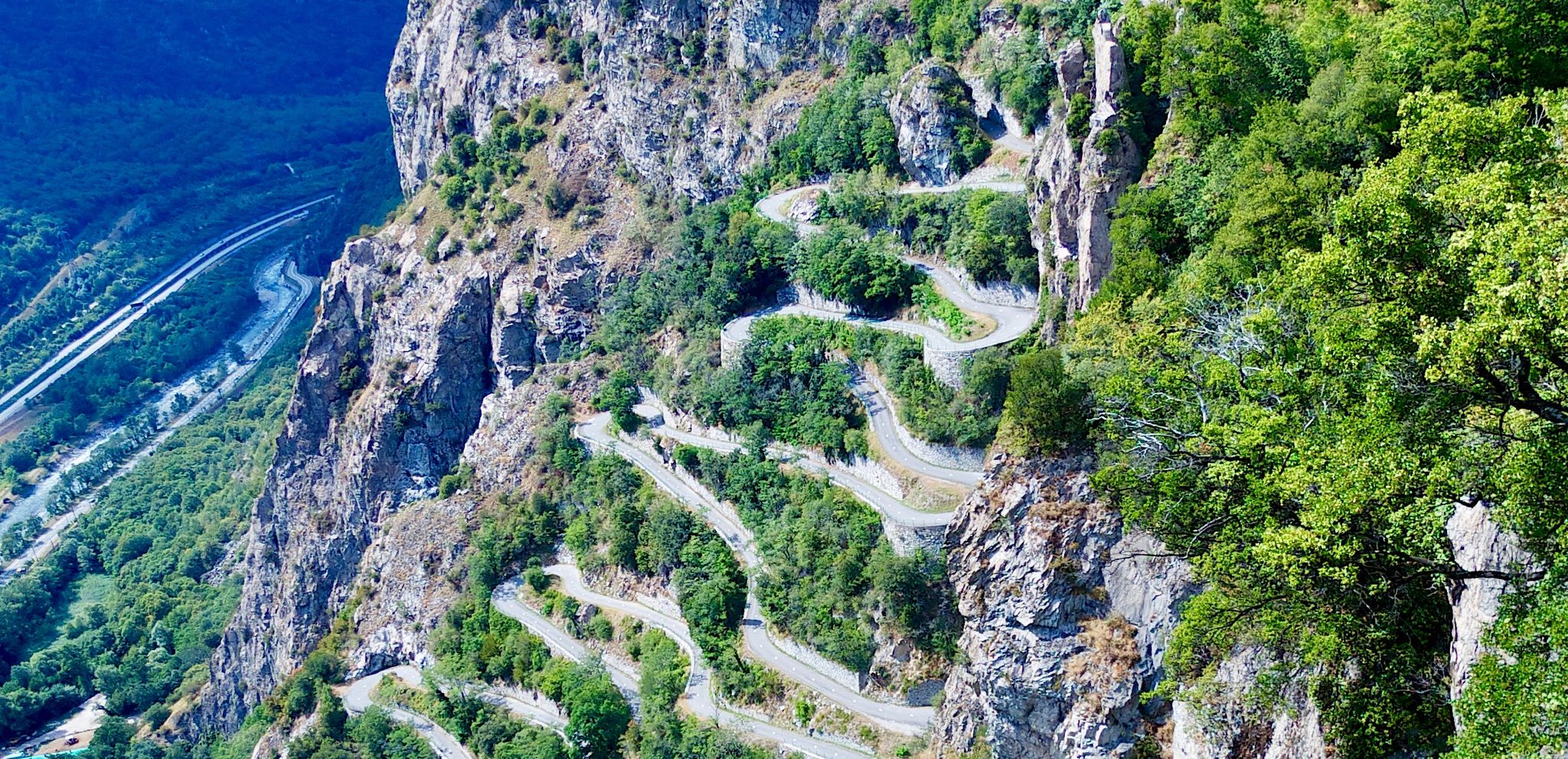
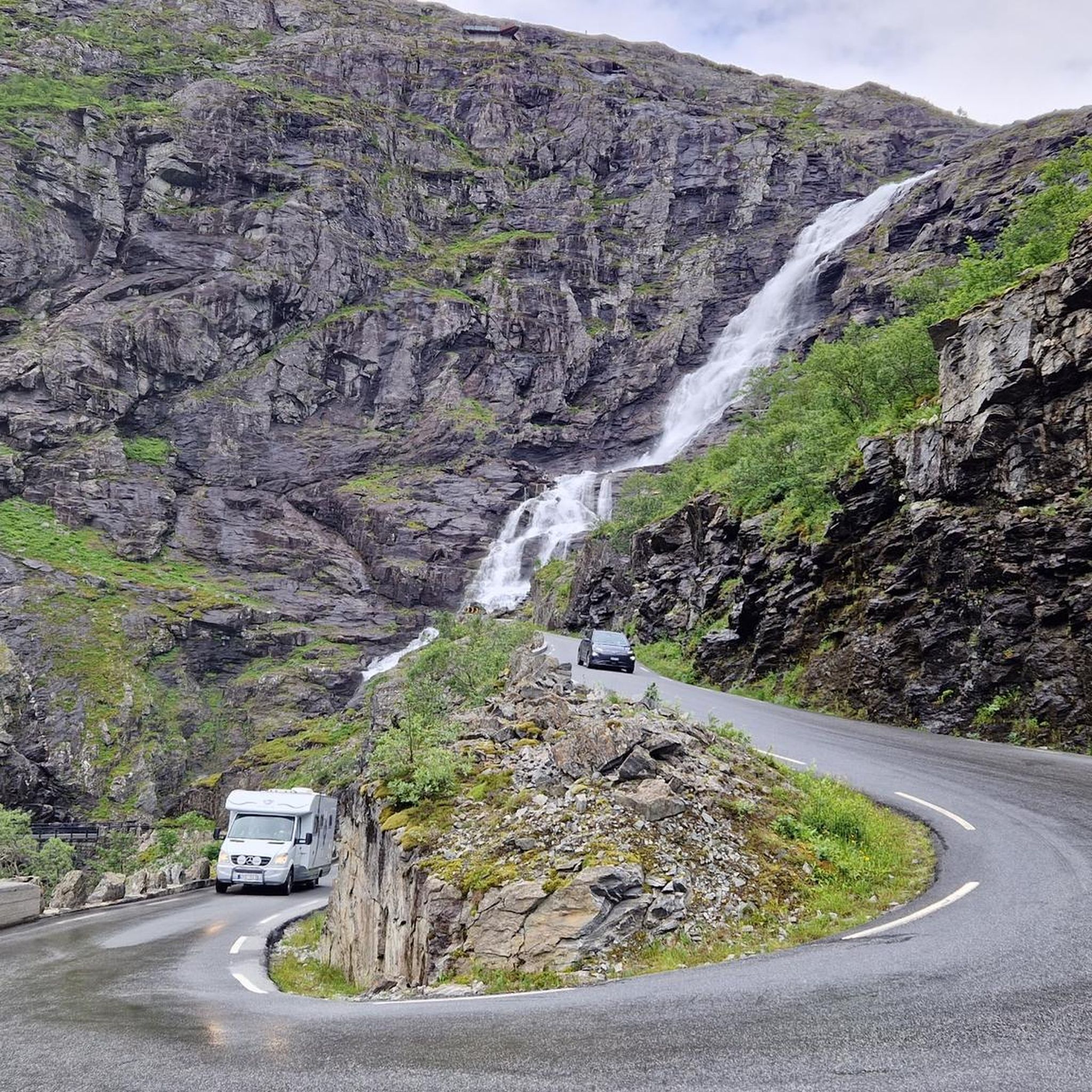
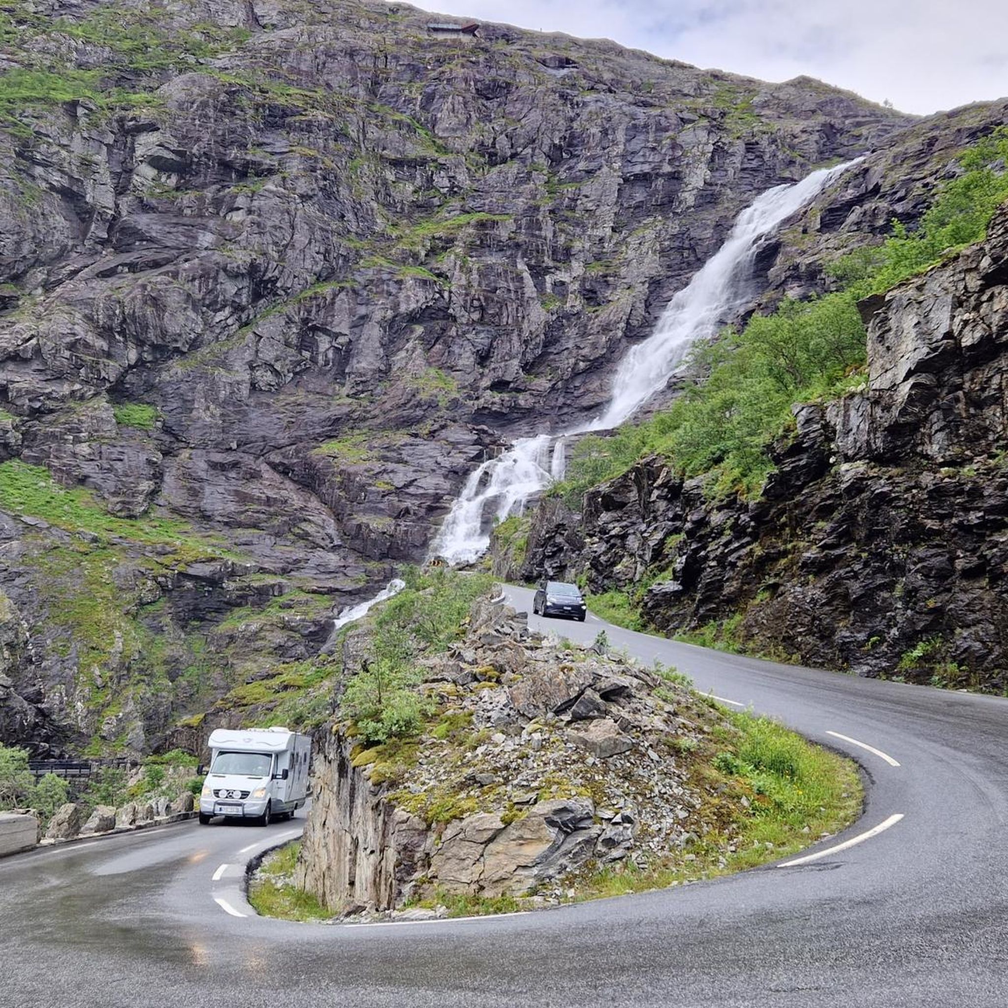
The Trollstigen is one of the most impressive mountain roads in Europe. It climbs a good 400 meters in 11 hairpin bends and connects Romsdalen with Geiranger. The viewing platforms offer a fantastic view of the pass. But the most impressive part, for me, is the crossing of the 320-meter-high waterfall, Stigfossen.
8
1

The climb from Andalsnes is closed until July 14, 2025, due to landslide repairs, but the south side of Trollstigen is open up to the viewpoint. On a clear day, you can see the switchbacks – a must-see on any 🇳🇴 trip!
0
0

On this hiking trail, you will encounter numerous information panels that will teach you something about the history of this region.
0
0
Almost like a glacier fairytale. A beautiful path along the glacial lake.
2
0

stones may be wet, but the crossing is easily doable.
0
0

Breathtaking view
3
0
Frequently Asked Questions
How many hiking trails are available in Trollstigen Landskapsvernområde?
There are nearly 20 hiking routes in Trollstigen Landskapsvernområde. These range from easy walks to very demanding mountain ascents, with 2 easy, 7 moderate, and 10 difficult trails to choose from.
What kind of terrain can I expect on hikes in Trollstigen Landskapsvernområde?
The terrain is characterized by dramatic and diverse natural landscapes. You'll encounter steep mountainsides, lush valleys, and high mountain plateaus. Iconic peaks like Bispen (1,462 meters) and Kongen (1,614 meters) encircle the area, providing a challenging and scenic backdrop. Some trails also follow the historic Kløvstien Trail, offering varied surfaces.
Are there any easy hiking options suitable for beginners in Trollstigen Landskapsvernområde?
Yes, there are a few easier options. While many trails are challenging, you can find less strenuous walks, such as the Trollstigfoten, an easy trail at the foot of Trollstigen along the Istra River. For a moderate option, consider Skarfjellenden – Trollstigen landskapsvernområde, which offers panoramic views without extreme difficulty.
What natural landmarks or viewpoints can I see while hiking in Trollstigen Landskapsvernområde?
Hikers can experience several impressive natural landmarks. The powerful Stigfossen Waterfall plunges 320 meters and is visible from various points. The beautiful blue-green Bispevatnet Lake is a rewarding destination for hikers on the Bispevatnet Trail. You can also get panoramic views of the winding Trollstigen Scenic Road and surrounding mountains from architect-designed viewpoints near the Trollstigen Visitor Center.
Are there any circular hiking routes in the area?
Yes, there are circular routes available. For example, the Bispevatnet – Trollstigen Visitor Center loop from Rauma offers a moderate 4.3 km hike, and the Trollstigen Visitor Center – Trollstigen loop from Rauma is another moderate 4.8 km option.
What is the best time of year to go hiking in Trollstigen Landskapsvernområde?
The Trollstigen road, and consequently many of the hiking trails, are typically open from late May or early June until October or November, depending on snow conditions. Summer offers the most reliable access and pleasant weather for hiking, allowing full enjoyment of the lush valleys and high mountain plateaus.
Is Trollstigen Landskapsvernområde suitable for family hikes?
While many trails are demanding, there are options for families. Shorter, less strenuous walks like Trollstigfoten, an easy trail along the Istra River at the foot of Trollstigen, can be suitable. Always check the difficulty and length of a route to ensure it matches your family's fitness level.
What do other hikers enjoy most about hiking in Trollstigen Landskapsvernområde?
The area is highly rated by the komoot community, with an average score of 4.4 stars from over 280 reviews. Hikers frequently praise the dramatic mountain scenery, the awe-inspiring views of the winding Trollstigen road, and the powerful Stigfossen waterfall. The diverse terrain, from lush valleys to high plateaus, also receives positive feedback.
Are there any facilities or places to explore near the hiking trails?
Yes, the Trollstigen Visitor Center is a key facility in the area, offering amenities and architect-designed viewpoints with panoramic views of the road and waterfall. Further along the scenic route, you can also visit the dramatic Gudbrandsjuvet Gorge, which features suspended walkways and viewing platforms.
How long do hikes in Trollstigen Landskapsvernområde typically take?
Hike durations vary significantly based on difficulty and length. An easy trail like the Hike in the mighty mountains at the foot of Trollstigen might take around 42 minutes. More challenging routes, such as the Bispevatnet Trail, can take approximately 3 hours and 33 minutes to complete.
Is it possible to reach the hiking trails using public transport?
While the Trollstigen road is a major tourist route, public transport options directly to trailheads can be limited. It's advisable to check local bus schedules from nearby towns like Åndalsnes, especially during the peak season, as services may be seasonal. For detailed information on reaching the area, you might consult official regional tourism sites like Visit Norway.
Are there specific viewpoints to experience the Trollstigen road and surrounding mountains?
Absolutely. The Trollstigen Visitor Center features architect-designed platforms that offer spectacular panoramic views of the winding road, the Stigfossen waterfall, and the impressive peaks like Bispen, Kongen, and Dronninga. One platform even soars 200 meters above Stigfossen, providing a unique perspective.
Most popular routes in Trollstigen Landskapsvernområde
Most popular attractions in Trollstigen Landskapsvernområde

Get inspired with the komoot mobile app


Explore more
Browse the best Hikes in other regions.
