The best mountain hikes in Trollstigen Landskapsvernområde
5.0
(7)
42
hikers
6
hikes
Mountaineering routes in Trollstigen Landskapsvernområde traverse a dramatic landscape characterized by steep mountainsides, deep fjords, and lush valleys in Western Norway. The region features formidable peaks, including Bispen, Kongen, and Dronninga, offering diverse and challenging environments. This area is defined by its colossal mountains and the renowned Trollveggen, Europe's largest vertical rock face, providing extensive opportunities for experienced mountaineers. The terrain presents natural challenges and rewarding views for those exploring its elevated paths.
Best mountaineering routes in Trollstigen Landskapsvernområde
- The…
Last updated: June 27, 2026
5.0
(3)
14
hikers
10.9km
05:35
740m
740m
Hard mountaineering route. Very good fitness required. Sure-footedness, sturdy shoes and alpine experience required.
5
hikers
5.88km
03:25
860m
860m
Moderate mountaineering route. Good fitness required. Easily-accessible paths. Suitable for all skill levels.

Sign up for free
5
hikers
8.32km
04:44
780m
780m
Hard mountaineering route. Good fitness required. Sure-footedness, sturdy shoes and alpine experience required.
5.0
(2)
5
hikers
2.79km
02:12
340m
340m
Hard mountaineering route. Good fitness required. Sure-footedness, sturdy shoes and alpine experience required.
5.0
(1)
11
hikers
7.46km
04:14
780m
780m
Hard mountaineering route. Good fitness required. Sure-footedness, sturdy shoes and alpine experience required.
Our route recommendations are based on thousands of hikes, rides, and runs completed by other people on komoot.
Start today with a free account
Your next adventure awaits.
Login or Signup
Popular around Trollstigen Landskapsvernområde
Other adventures in Trollstigen Landskapsvernområde

Tips from the Community

Well done on the Trollstiegen pass
0
0

The steep climb is definitely worth it
0
0

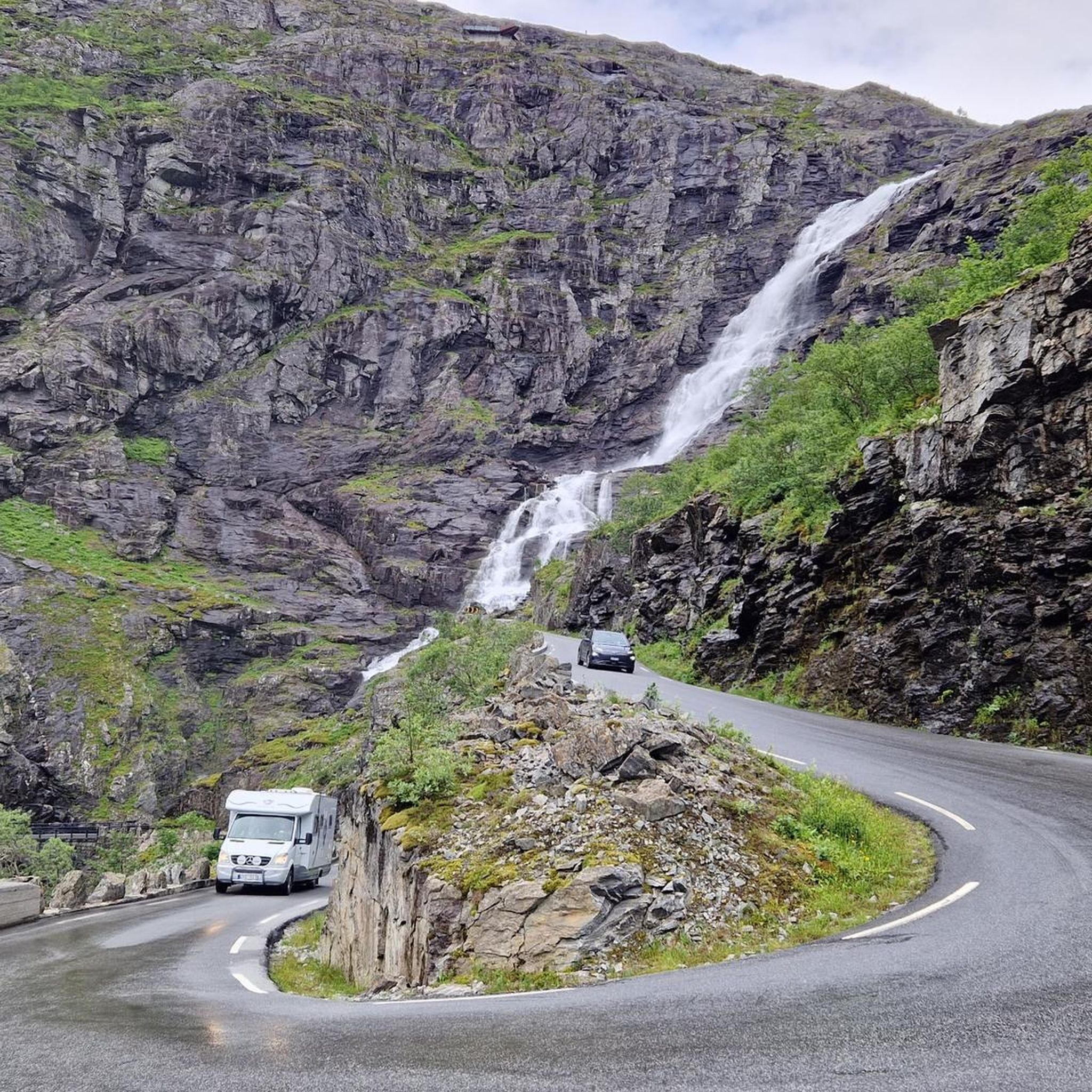
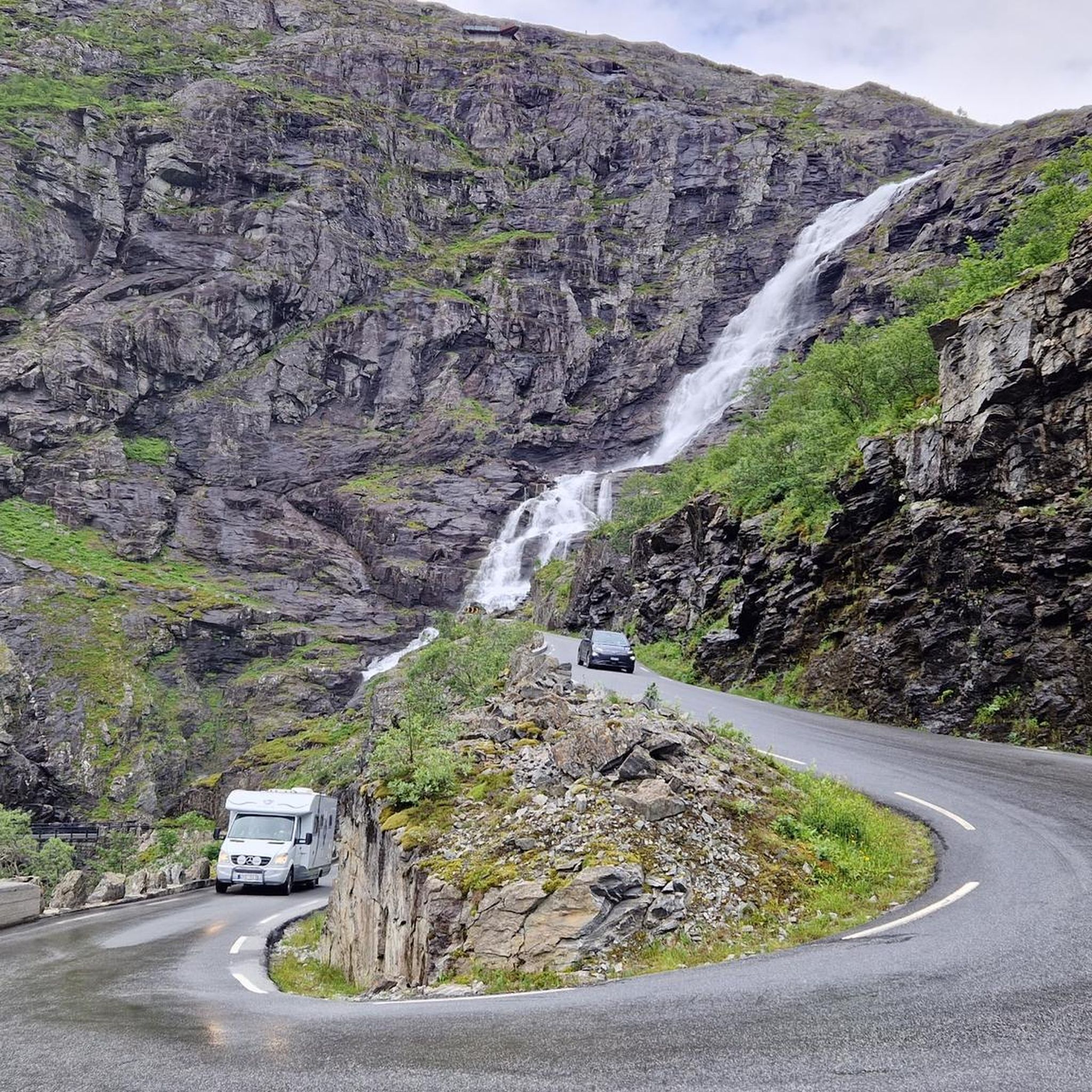
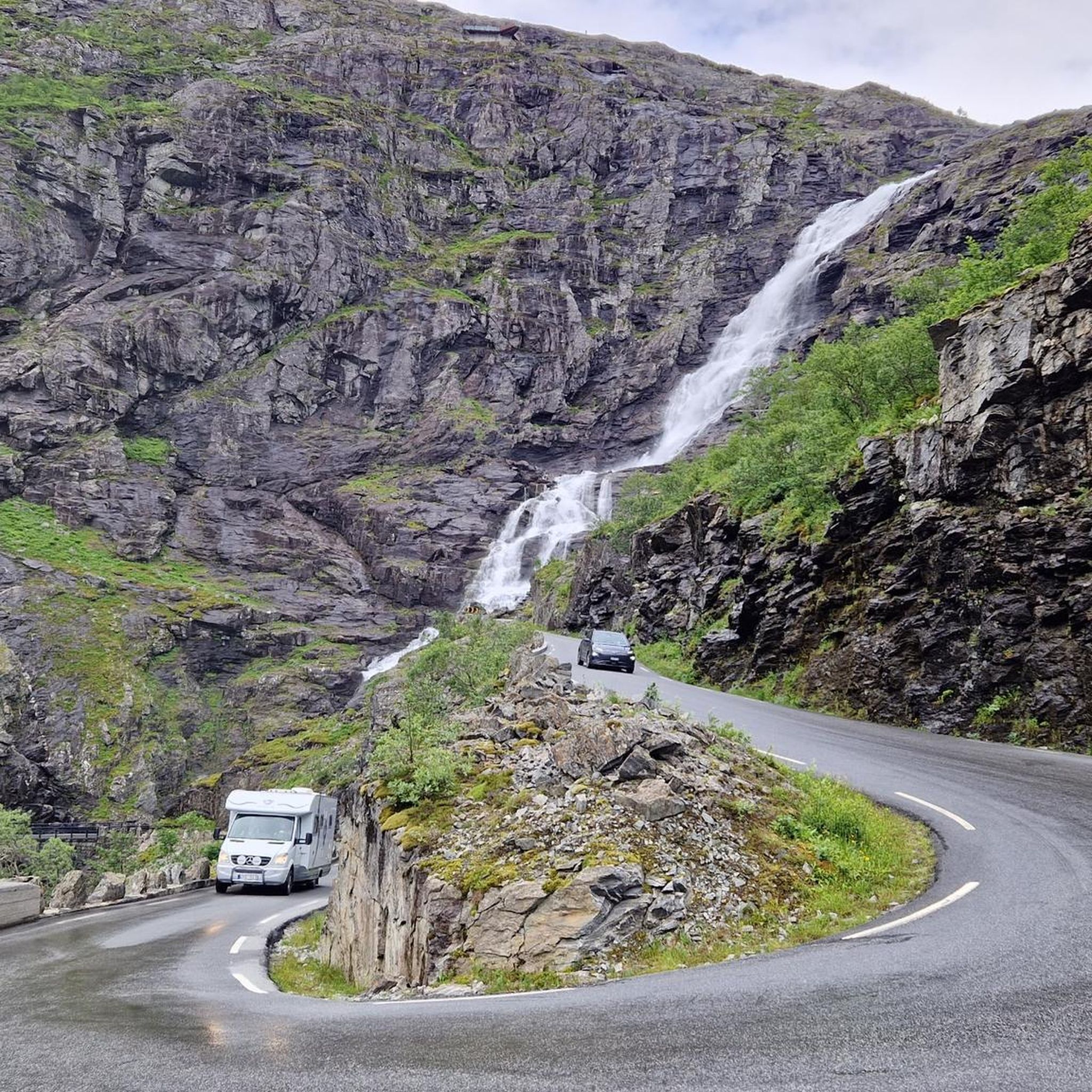
The Trollstigen is one of the most impressive mountain roads in Europe. It climbs a good 400 meters in 11 hairpin bends and connects Romsdalen with Geiranger. The viewing platforms offer a fantastic view of the pass. But the most impressive part, for me, is the crossing of the 320-meter-high waterfall, Stigfossen.
8
1

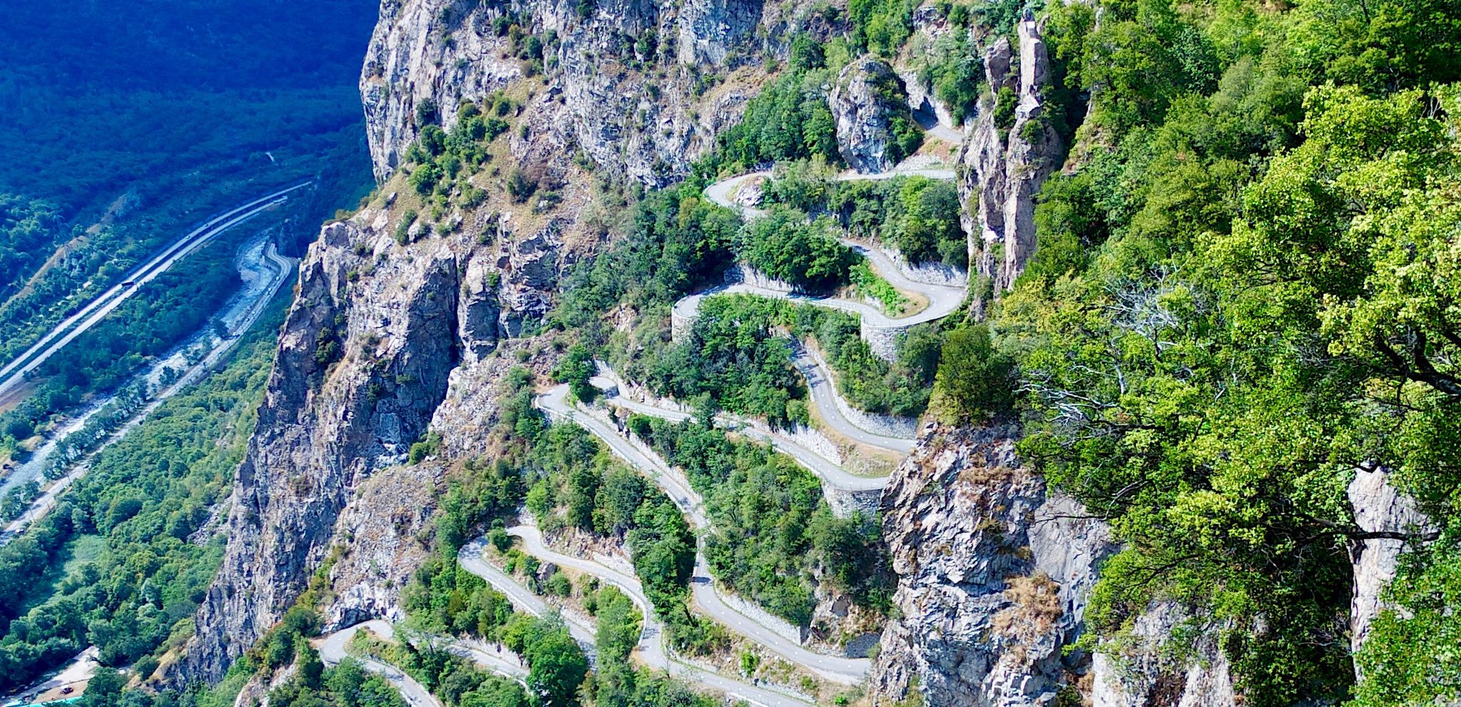
The climb from Andalsnes is closed until July 14, 2025, due to landslide repairs, but the south side of Trollstigen is open up to the viewpoint. On a clear day, you can see the switchbacks – a must-see on any 🇳🇴 trip!
0
0

From here, you can take the gondola back to the parking lot or the train station.
0
0

The return cable car ride costs €47 per person. Beautiful views from the top.
5
0

Beautiful, and a megaaa view.
2
0

Frequently Asked Questions
How many mountaineering routes are available in Trollstigen Landskapsvernområde?
There are 8 mountaineering routes documented in Trollstigen Landskapsvernområde, offering a range of experiences for outdoor enthusiasts. Most of these routes are rated as difficult, providing a significant challenge.
What is the general difficulty level of mountaineering routes in Trollstigen Landskapsvernområde?
The mountaineering routes in Trollstigen Landskapsvernområde are predominantly challenging, with 7 out of 8 routes rated as difficult. This reflects the region's dramatic landscape of steep mountainsides and formidable peaks. However, there is also one moderate route available for those seeking a slightly less strenuous experience.
Are there any circular mountaineering routes in Trollstigen Landskapsvernområde?
Yes, several routes in Trollstigen Landskapsvernområde are circular. For instance, you can explore the Edge of Trollveggen Wall loop from Rauma, which offers stunning views of the iconic Trollveggen. Another option is the Bispen loop from Rauma, ascending towards the impressive Bispen mountain. The Norafjellet loop from Brekka also provides a varied mountain terrain experience.
What natural features and landmarks can I expect to see along the mountaineering routes?
Mountaineering in Trollstigen Landskapsvernområde offers breathtaking views of majestic mountains like Bispen, Kongen, and Dronninga. You'll also encounter the dramatic Trollveggen (The Troll Wall), Europe's largest vertical rock face. The area is also known for its towering waterfalls, such as Stigfossen, which cascades 320 meters down the mountainside. For panoramic views, consider visiting the View of Trollstigen and Stigfossen Waterfall or the View of Trollstigen viewpoints.
Are there any moderate mountaineering options for those looking for a less strenuous climb?
While most routes are difficult, there is a moderate mountaineering option available: the Norafjellet loop from Brekka. This 3.7-mile (5.9 km) trail leads through varied mountain terrain and is often completed in about 3 hours 25 minutes, making it a good choice for those seeking a less intense experience while still enjoying the region's beauty.
What do other mountaineers say about their experience in Trollstigen Landskapsvernområde?
The mountaineering routes in Trollstigen Landskapsvernområde are highly rated by the komoot community, with an average score of 5.0 stars from 9 reviews. Over 60 mountaineers have used komoot to explore this varied terrain, often praising the dramatic landscapes, formidable peaks, and rewarding views that make them feel small in the face of nature's grandeur.
Are there any routes that offer views of the Romsdalseggen ridge?
Yes, the View of Romsdalseggen loop from Grytten kirke is a difficult mountaineering route that provides stunning vistas of the Romsdalseggen ridge, known for its rugged views over the Romsdalsfjellene mountains, including Trollveggen and Romsdalshorn.
Can I find routes that lead to prominent viewpoints like Rampestreken or Nesaksla Summit?
Absolutely. The Rampestreken Viewpoint – Nesaksla Summit loop from Åndalsnes is a challenging 7.7-mile (7.8 km) mountaineering route that takes you to these renowned viewpoints, offering spectacular panoramas of the surrounding landscape.
Is there a visitor center or facilities available in the area?
Yes, the Trollstigen Visitor Center is located in the area. It serves as a hub and offers facilities for visitors. Additionally, the Norwegian Mountaineering Centre in Åndalsnes provides resources, exhibitions, and even an indoor climbing wall for enthusiasts.
What is the best time of year for mountaineering in Trollstigen Landskapsvernområde?
Trollstigen Landskapsvernområde is a superb destination for outdoor activities, particularly mountaineering, due to its dramatic landscapes. While specific seasonal advice for mountaineering isn't detailed, the region is generally best explored during the warmer months when trails are clear of snow and ice, typically from late spring to early autumn. Always check local conditions before heading out.
Are there any historical trails in the area?
Yes, the historic Kløvstien Trail is an ancient pack trail that provides a varied and spectacular hike from the foot to the top of Trollstigen, offering insights into the region's rich history alongside stunning views.
Is parking available for mountaineering trailheads?
While specific parking details for each trailhead are not provided, the Trollstigen road itself serves as a gateway to many mountaineering adventures. There are viewing platforms and facilities along this route, suggesting parking infrastructure is available to access the general area. It's advisable to check specific trailhead information or local resources for precise parking locations.
Most popular routes in Trollstigen Landskapsvernområde
Most popular attractions in Trollstigen Landskapsvernområde

Get inspired with the komoot mobile app


Explore more
Browse the best Mountain Hikes & Routes in other regions.
