The best MTB trails in Trollstigen Landskapsvernområde
4.6
(10)
76
riders
5
rides
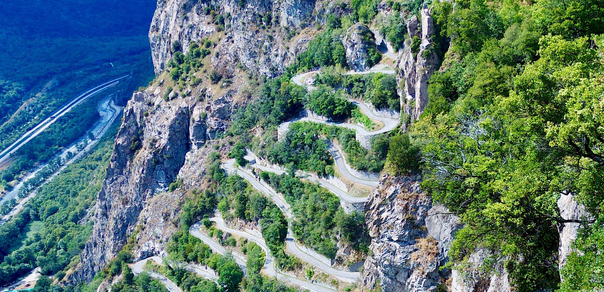
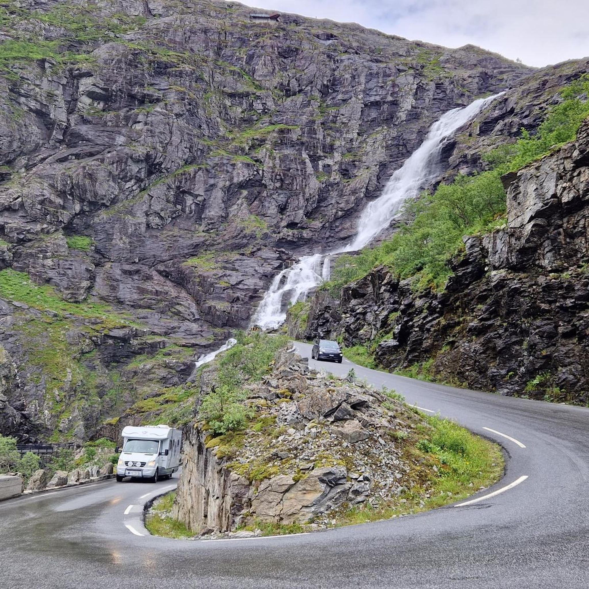
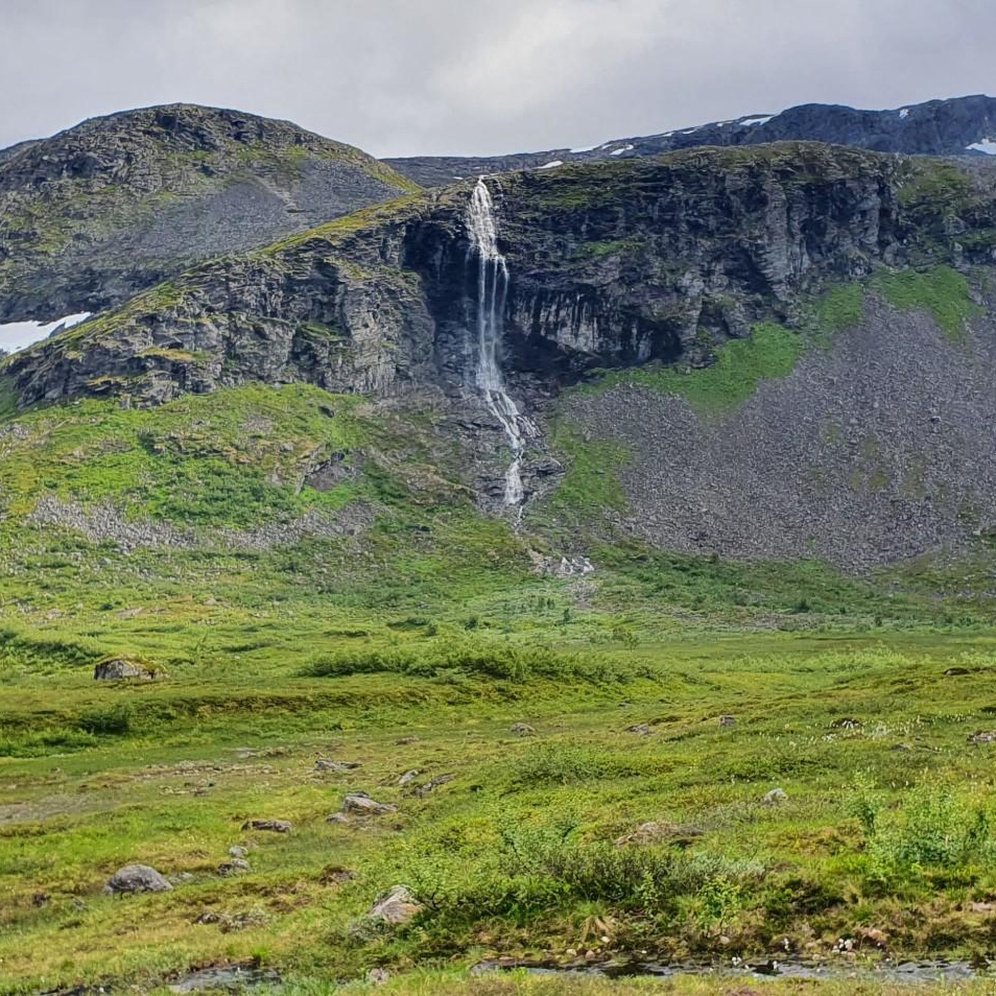
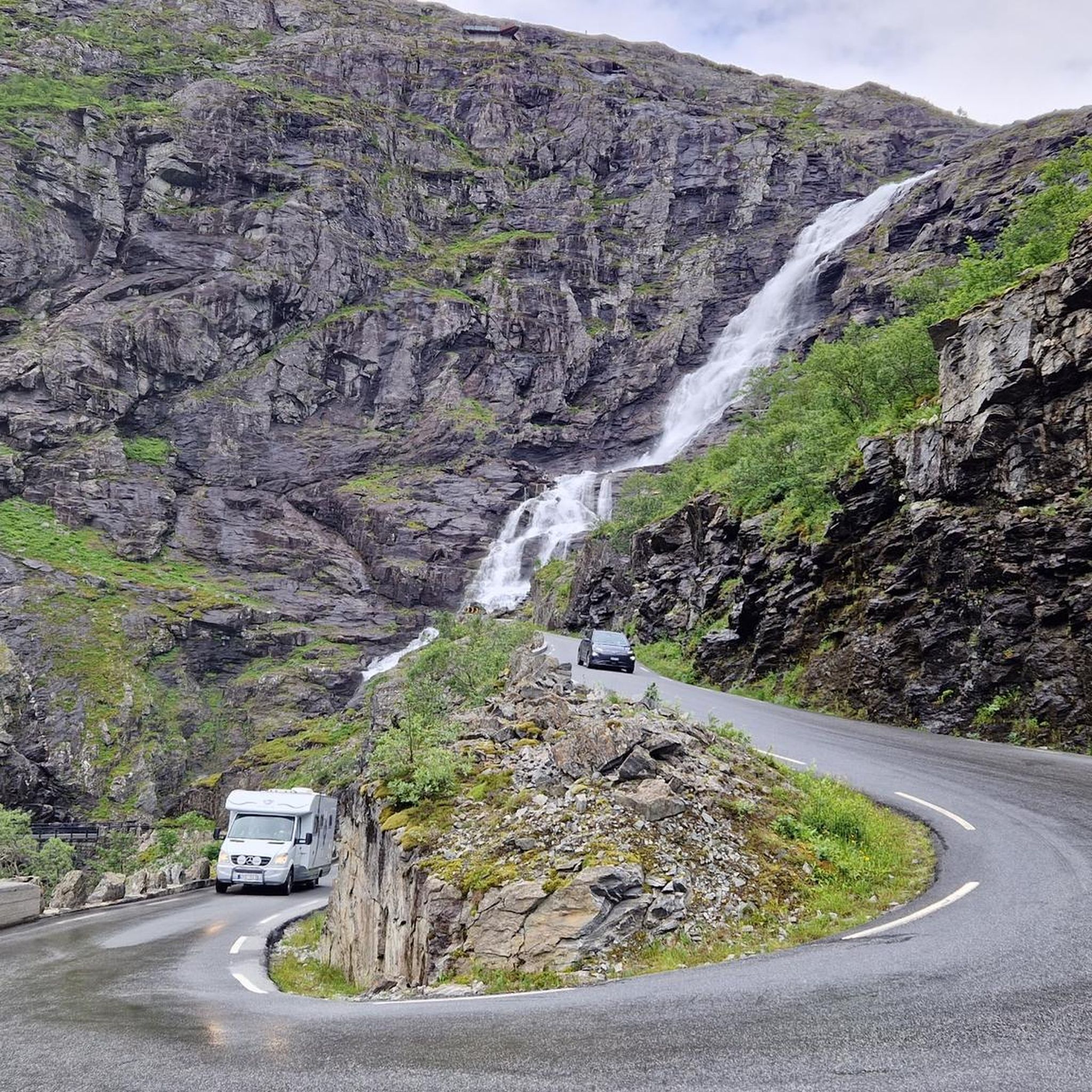
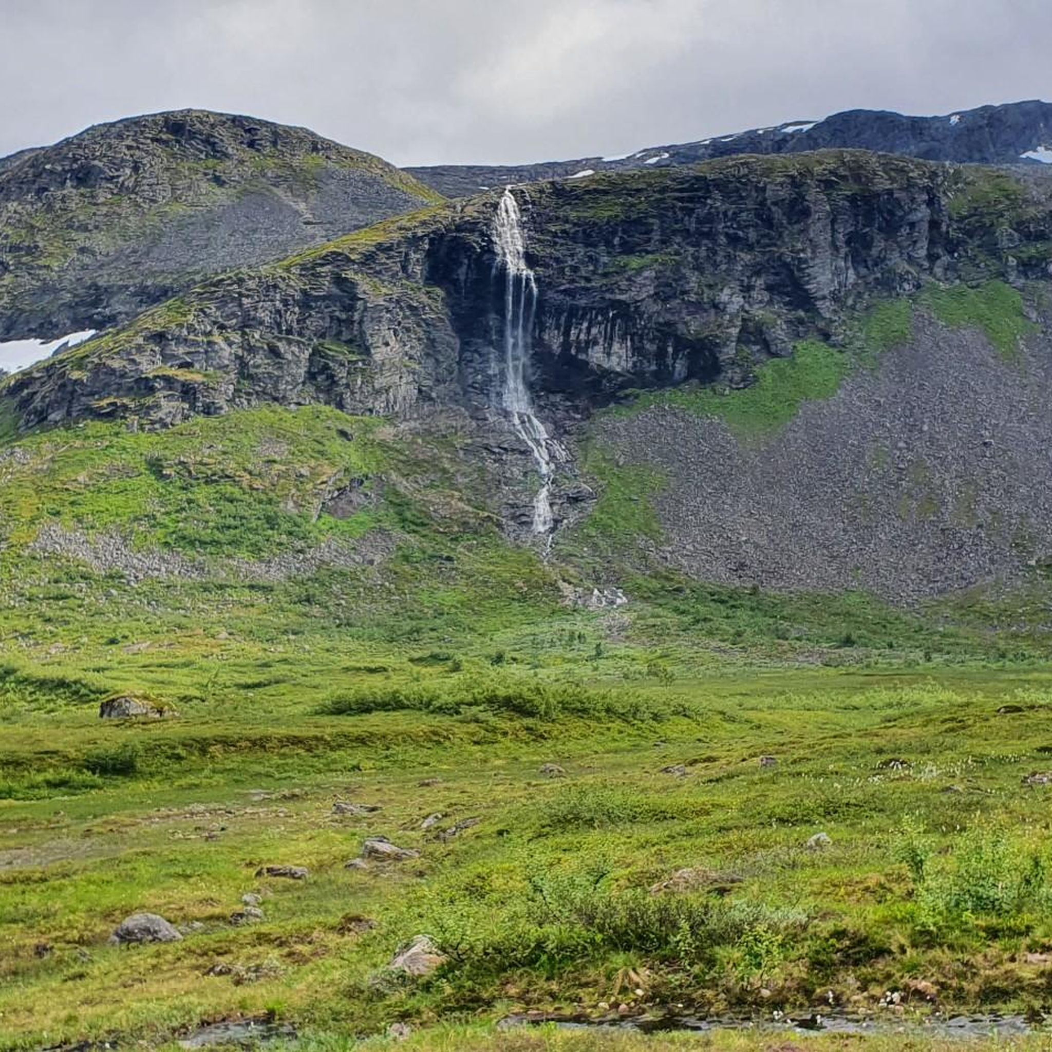
Mountain biking in Trollstigen Landskapsvernområde offers routes through dramatic Western Norwegian scenery, characterized by steep mountainsides, lush valleys, and deep fjords. The landscape features colossal peaks such as Bispen, Kongen, and Dronninga, providing a challenging backdrop for cycling. The iconic Trollstigen road, with its eleven hairpin bends, and the 320-meter-high Stigfossen waterfall are prominent natural features. This region provides varied terrain for mountain bikers, from valley paths to climbs along engineered roads.
Best mountain bike trails in Trollstigen Landskapsvernområde
- The most popular mountain bike trail is Stigfossen Waterfall – Stigfossen Terrace loop from Brønnsletta, a 6.2 miles (9.9 km) trail that takes 1 hour 0 minutes to complete. This moderate route offers views of the powerful Stigfossen waterfall.
- Another top favourite among local mountain bikers is View of the fjord – Dreamlike trail along the ridge loop from Hauge, a difficult 5.3 miles (8.5 km) path. This route provides expansive views of the fjord and ridge lines.
- Local mountain bikers also love the Trollstigen Resort loop from Åndalsnes, a 9.3 miles (15.0 km) trail leading through the area around Trollstigen Resort, often completed in about 1 hour 5 minutes.
- Mountain biking in Trollstigen Landskapsvernområde is defined by steep mountain roads, valley paths, and views of waterfalls and fjords. The network offers options for different ability levels, from easy loops to challenging climbs.
- The routes in Trollstigen Landskapsvernområde are highly rated by the komoot community with an average score of 4.5 stars from 9 reviews. More than 70 mountain bikers have used komoot to explore Trollstigen Landskapsvernområde's varied terrain.
Last updated: May 14, 2026
4.5
(2)
13
riders
9.92km
00:59
410m
410m
Moderate mountain bike ride. Good fitness required. Suitable for all skill levels.
4.8
(4)
28
riders
38.6km
02:55
890m
890m
Moderate mountain bike ride. Good fitness required. Suitable for all skill levels.

Sign up for free
7
riders
15.2km
01:06
230m
230m
Easy mountain bike ride. Great for any fitness level. Suitable for all skill levels.
5.0
(1)
5
riders
19.6km
01:20
200m
200m
Easy mountain bike ride. Great for any fitness level. Suitable for all skill levels.
3.5
(2)
4
riders
8.52km
01:26
570m
570m
Hard mountain bike ride. Good fitness required. Advanced riding skills necessary. Some portions of the route may require you to push your bike.
Our route recommendations are based on thousands of hikes, rides, and runs completed by other people on komoot.
Start today with a free account
Your next adventure awaits.
Login or Signup
Popular around Trollstigen Landskapsvernområde
Other adventures in Trollstigen Landskapsvernområde

Tips from the Community

Very technical trail made by bike due to the road closure during the Bright Midnight Gravel Race 2025
0
1

The climb from Andalsnes is closed until July 14, 2025, due to landslide repairs, but the south side of Trollstigen is open up to the viewpoint. On a clear day, you can see the switchbacks – a must-see on any 🇳🇴 trip!
0
0

The climb up to this point has been long and at times tough but when you get here that is all quickly forgotten as you're met with one of the most impressive back drops.
0
0
This small section of trail you have to hike down but it's only around a 50m stretch
0
0
Beautiful descent, one of the best ever considering where you are, you're surroundings and the singletrack ahead of you
0
0
Lovely climb up from Valldal to this point, a good mix of tarmac and doubletrack make it very manageable to reach
0
0

The museum has a modern exhibition that tells the history and development of mountaineering in a variety of ways. You can also touch and try out the equipment. The indoor climbing wall has 60 climbing routes spread over 20 anchor points. The café has space for 100 people indoors, with additional seating outside.
1
0

Museum of Norwegian Mountain Sports as well as the visitor center for Reimheimen National Park. There is also a small restaurant.
0
0
Frequently Asked Questions
How many mountain bike trails are available in Trollstigen Landskapsvernområde?
Trollstigen Landskapsvernområde offers a selection of 5 mountain bike trails, catering to various skill levels. These routes are highly rated by the komoot community, with an average score of 4.5 stars.
What are the difficulty levels of mountain bike trails in Trollstigen Landskapsvernområde?
The trails in Trollstigen Landskapsvernområde range from easy to difficult. You'll find 2 easy routes, 2 moderate routes, and 1 difficult route, ensuring options for different experience levels. For an easy ride, consider the Trollstigen Resort loop from Åndalsnes.
Are there any family-friendly mountain bike trails in the area?
Yes, there are family-friendly options, particularly the easy routes. The Trollstigen Resort loop from Åndalsnes is an easy 9.3 miles (15.0 km) trail that takes about 1 hour 5 minutes, suitable for a family outing. Another easy option is the Byparken Community Garden – Norsk Tindesenter loop from Åndalsnes, which is 12.2 miles (19.6 km) long.
What natural features and landmarks can I expect to see along the mountain bike trails?
The region is rich in dramatic natural features. You can expect to see the iconic Trollstigen road with its eleven hairpin bends, the powerful 320-meter-high Stigfossen waterfall, and colossal mountain peaks like Bispen, Kongen, and Dronninga. Architect-designed viewing platforms at the Trollstigen plateau offer panoramic views. The Stigfossen Waterfall – Stigfossen Terrace loop from Brønnsletta offers direct views of the waterfall, while the View of the fjord – Dreamlike trail along the ridge loop from Hauge provides expansive fjord views.
Are there any circular mountain bike routes in Trollstigen Landskapsvernområde?
Yes, all the mountain bike trails listed in this guide are circular routes. For example, you can enjoy the Stigfossen Waterfall – Stigfossen Terrace loop from Brønnsletta, a moderate 6.2 miles (9.9 km) ride, or the more challenging View of the fjord – Dreamlike trail along the ridge loop from Hauge.
What kind of terrain will I encounter on the mountain bike trails?
You'll encounter varied terrain, from valley paths to steep mountain roads. Some routes involve climbs along engineered roads, while others offer more natural, off-road experiences. The region's dramatic landscape means you should be prepared for ascents and descents, with some portions potentially requiring you to push your bike, especially on more challenging trails.
When is the best time of year to go mountain biking in Trollstigen Landskapsvernområde?
The best time for mountain biking is typically when the Trollstigen road is open, usually from late May/early June to October, depending on snow conditions. Riding early in the morning is advisable to avoid crowds, especially during peak season, as traffic can be heavy on the main road.
What do other mountain bikers enjoy most about the trails in Trollstigen Landskapsvernområde?
The area is highly rated by the komoot community, with an average score of 4.5 stars from 9 reviews. Mountain bikers often praise the dramatic Western Norwegian scenery, including the steep mountainsides, lush valleys, and deep fjords. The breathtaking views of the Trollstigen road and Stigfossen waterfall are frequently highlighted as memorable aspects of the rides.
Are there facilities like cafes or visitor centers near the trails?
Yes, the Trollstigen Visitor Center, located at the Trollstigen plateau, offers amenities such as a cafe, souvenir shop, and toilets. This is a convenient stop for refreshments and facilities before or after your ride.
Can I rent a mountain bike in the Trollstigen area?
Yes, electric bikes are available for rent in the area, and guided electric bike tours are also offered. This makes the challenging terrain more accessible to a wider range of fitness levels, allowing more people to experience the stunning landscapes of Trollstigen Landskapsvernområde.
Is there parking available for mountain bikers?
While specific parking details for each trail are best checked on individual route pages, the Trollstigen Visitor Centre typically offers parking facilities. Given the popularity of the area, especially during peak season, it's advisable to plan your visit and arrive early to secure parking.
Are there any particularly challenging mountain bike routes for advanced riders?
For experienced riders seeking a challenge, the View of the fjord – Dreamlike trail along the ridge loop from Hauge is classified as difficult. This 5.3 miles (8.5 km) path involves significant elevation gain and offers expansive views, providing an intense workout and rewarding experience. The climb up the eleven hairpin bends of Trollstigen itself is also a popular and demanding challenge for cyclists.
Most popular routes in Trollstigen Landskapsvernområde
Most popular attractions in Trollstigen Landskapsvernområde

Get inspired with the komoot mobile app


Explore more
Browse the best MTB trails in other regions.
