The best traffic-free bike rides in Guatavita
4.8
(13)
682
riders
10
rides
No traffic touring cycling routes in Guatavita are situated in the Cordillera Oriental of the Colombian Andes, offering diverse terrain for cyclists. The region is characterized by dramatic mountain ranges, vast green expanses, and significant elevation changes. Key natural features include the almost perfectly circular Laguna de Guatavita and the expansive Embalse de Tominé reservoir, both providing scenic backdrops for routes. This mountainous landscape creates varied cycling experiences, from challenging climbs to more gentle scenic rides.
Best no traffic touring…
Last updated: July 8, 2026
4.5
(4)
242
riders
76.2km
05:23
1,200m
1,200m
Hard bike ride. Very good fitness required. Mostly paved surfaces. Suitable for all skill levels.
12
riders
49.7km
05:00
1,330m
1,330m
Hard bike ride. Very good fitness required. Mostly paved surfaces. Suitable for all skill levels.

Sign up for free
5.0
(1)
10
riders
19.3km
01:38
610m
610m
Hard bike ride. Very good fitness required. Mostly paved surfaces. Suitable for all skill levels.
6
riders
29.3km
02:46
610m
610m
Hard bike ride. Very good fitness required. Mostly paved surfaces. Suitable for all skill levels.
5.0
(1)
6
riders
18.2km
01:34
180m
190m
Moderate bike ride. Good fitness required. Mostly paved surfaces. Suitable for all skill levels.
Get access to more routes and recommendations from other explorers.
Sign up for free
Already have an account?
Our route recommendations are based on thousands of hikes, rides, and runs completed by other people on komoot.
Start today with a free account
Your next adventure awaits.
Login or Signup
Popular around Guatavita

Tips from the Community

Good objective, I suggest via Patios round trip to train various types (hill, bottom, hitts if you want in Arepas).
0
0
Port with a manageable slope, it becomes hard at the end due to the altitude (3,500 meters) and the wind in the last km. Very cold up, and on the way down, I suggest a good jacket and FULL FINGER gloves.
0
0

18th century chapel, formerly the Dominican church
0
0

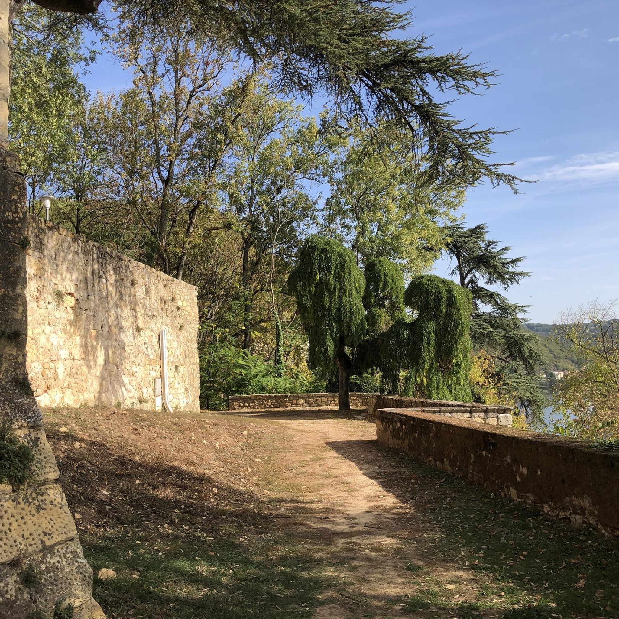
Good view of the reservoir and the municipality of sopo
0
0
going up from the "Y" (Guasca) there are 11km, a road in good condition, generally cold, foggy and rainy. From Gachetá going up there are 35km of ascent.
0
0

Bring a windbreaker vest or jacket, because of the high altitude it can get really cold
2
0

Beautiful view of the Tominé and Guatavita lagoons
0
0

heavy cross wind and rain is on the menu always
2
0
Frequently Asked Questions
How many no-traffic touring cycling routes are available in Guatavita?
There are 9 dedicated no-traffic touring cycling routes listed for Guatavita. These routes are designed to offer peaceful rides away from busy roads, ranging from quiet country lanes to dedicated cycle paths.
What is the general difficulty level of no-traffic touring cycling routes in Guatavita?
Most of the no-traffic touring cycling routes in Guatavita are considered challenging, with 8 out of 9 routes rated as difficult. There is also one moderate route available. The region's Andean terrain often involves significant elevation changes, making for rewarding but demanding rides.
Are there any circular no-traffic touring cycling routes in Guatavita?
Yes, many of the no-traffic touring cycling routes in Guatavita are circular. For example, you can explore the challenging Alto de los Gavilanes – Alto Peñablanca loop from Parada, or the more moderate Guasca – Guasca Main Square loop from Guasca.
What kind of natural features can I expect to see along these routes?
Guatavita's no-traffic routes wind through the stunning Colombian Andes, offering views of lush green hills and dramatic mountain ranges. You'll frequently encounter large bodies of water like the Tominé Reservoir, and the mystical Lake Guatavita, which is steeped in Muisca history and El Dorado legend.
Are there any cultural or historical landmarks along the no-traffic cycling routes?
Yes, cycling routes often pass through or near charming towns and significant sites. You might encounter the colonial town of Guatavita itself, or the popular Sesquilé Town Square, which is a favorite stop for cyclists. The region is rich in indigenous culture, particularly around Lake Guatavita.
What do other touring cyclists say about the no-traffic routes in Guatavita?
The no-traffic touring cycling routes in Guatavita are highly rated by the komoot community, with an average score of 4.8 stars from 12 ratings. Cyclists often praise the breathtaking Andean scenery, the challenging climbs, and the opportunity to experience the region's natural beauty away from busy roads.
Are there any routes that offer views of the Embalse de Tominé?
Absolutely. The View of Embalse de Tominé loop from Estación de Tocancipá is a challenging route specifically designed to showcase panoramic views of the massive Tominé Reservoir, an emblematic site rich in indigenous culture and history.
What should I bring for a no-traffic touring cycling trip in Guatavita?
Given the challenging terrain and Andean altitude (around 3,100 meters near Laguna de Guatavita), it's advisable to bring appropriate gear for varied weather conditions, including layers, rain protection, and plenty of water and snacks. A well-maintained touring bicycle suitable for climbs is also recommended.
Is it possible to find cafes or places to eat along these routes?
Yes, many cycling routes in Guatavita pass through or near charming towns like Sesquilé and Guatavita itself, where you can find cafes and restaurants. These are popular spots for cyclists to refuel with coffee, snacks, or traditional dishes.
What is the best time of year to cycle the no-traffic routes in Guatavita?
Guatavita generally experiences a mild climate due to its altitude. While there isn't a strictly 'dry' or 'rainy' season like in other tropical regions, some months might have less rainfall. It's always best to check the local weather forecast closer to your trip, as conditions in the Andes can change rapidly.
Are there any specific climbs to look out for on these routes?
While the no-traffic routes focus on quieter paths, the Guatavita region is known for its challenging climbs. Notable segments in the broader area include the Salitre–Guasquita Climb and Alto de La Cuchilla, which attract many cyclists from Bogotá. Expect significant elevation gains on most difficult-rated routes.
Most popular attractions in Guatavita

Get inspired with the komoot mobile app


Explore more
Browse the best Cycling routes in other regions.
