The best cycling routes in Guatavita
4.8
(13)
682
riders
26
rides
Touring cycling in Guatavita offers diverse landscapes within the Andean mountains, featuring both challenging climbs and exhilarating descents. The region is characterized by prominent natural features such as Laguna de Guatavita and the expansive Embalse de Tominé. Cyclists can expect varied topography, with routes incorporating both good quality asphalt and some unpaved segments. This area provides a compelling destination for touring cyclists seeking routes with significant elevation changes and scenic vistas.
Best touring cycling routes in Guatavita
- The most popular…
Last updated: July 1, 2026
42
riders
22.7km
01:23
210m
210m
Moderate bike ride. Good fitness required. Mostly paved surfaces. Suitable for all skill levels.
34
riders
64.6km
04:29
1,210m
1,210m
Hard bike ride. Very good fitness required. Mostly paved surfaces. Suitable for all skill levels.

Sign up for free
13
riders
56.2km
05:28
1,630m
1,630m
Hard bike ride. Very good fitness required. Mostly paved surfaces. Suitable for all skill levels.
12
riders
42.6km
03:41
740m
740m
Hard bike ride. Very good fitness required. Mostly paved surfaces. Suitable for all skill levels.
12
riders
40.1km
03:37
750m
750m
Hard bike ride. Very good fitness required. Mostly paved surfaces. Suitable for all skill levels.
Get access to more routes and recommendations from other explorers.
Sign up for free
Already have an account?
Our route recommendations are based on thousands of hikes, rides, and runs completed by other people on komoot.
Start today with a free account
Your next adventure awaits.
Login or Signup
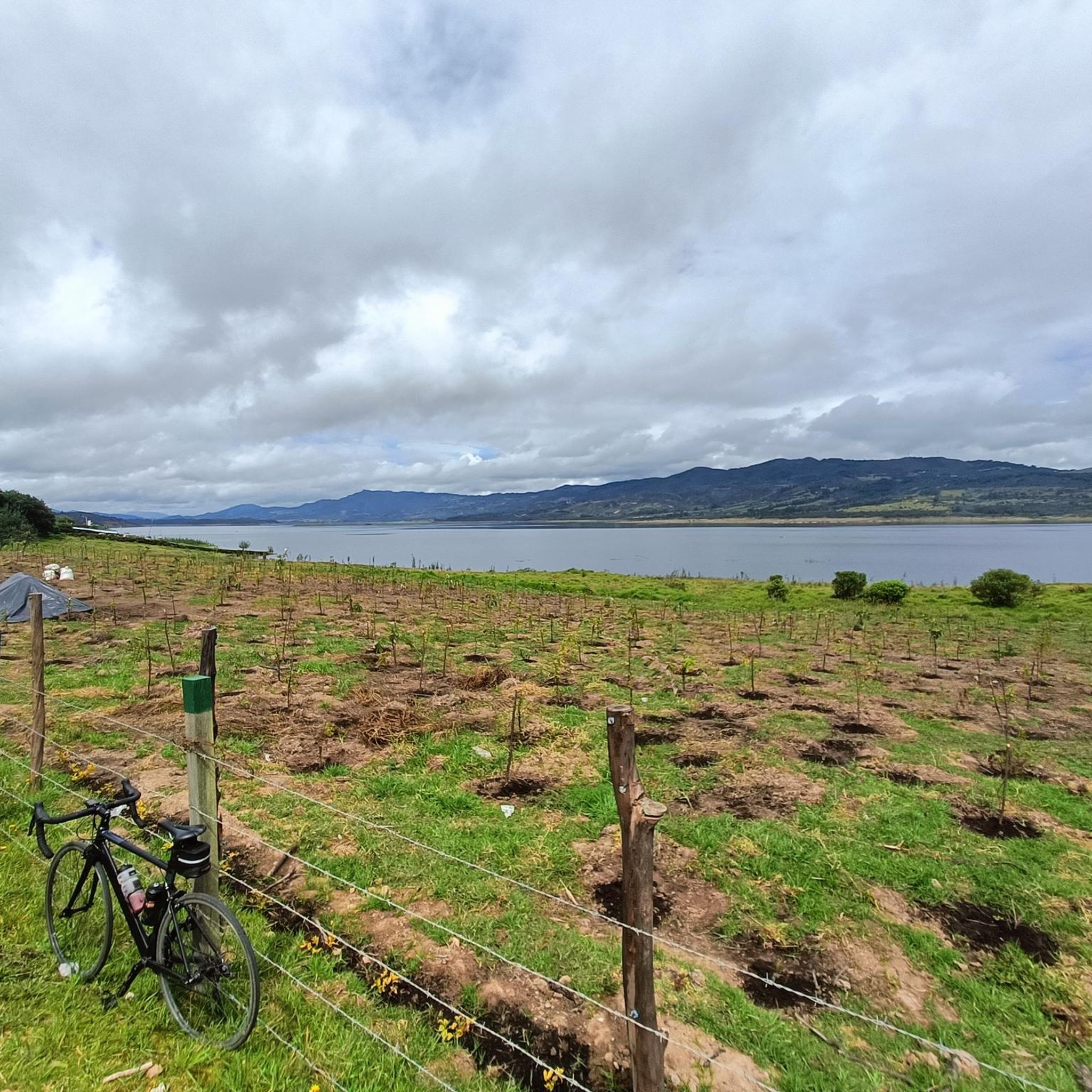
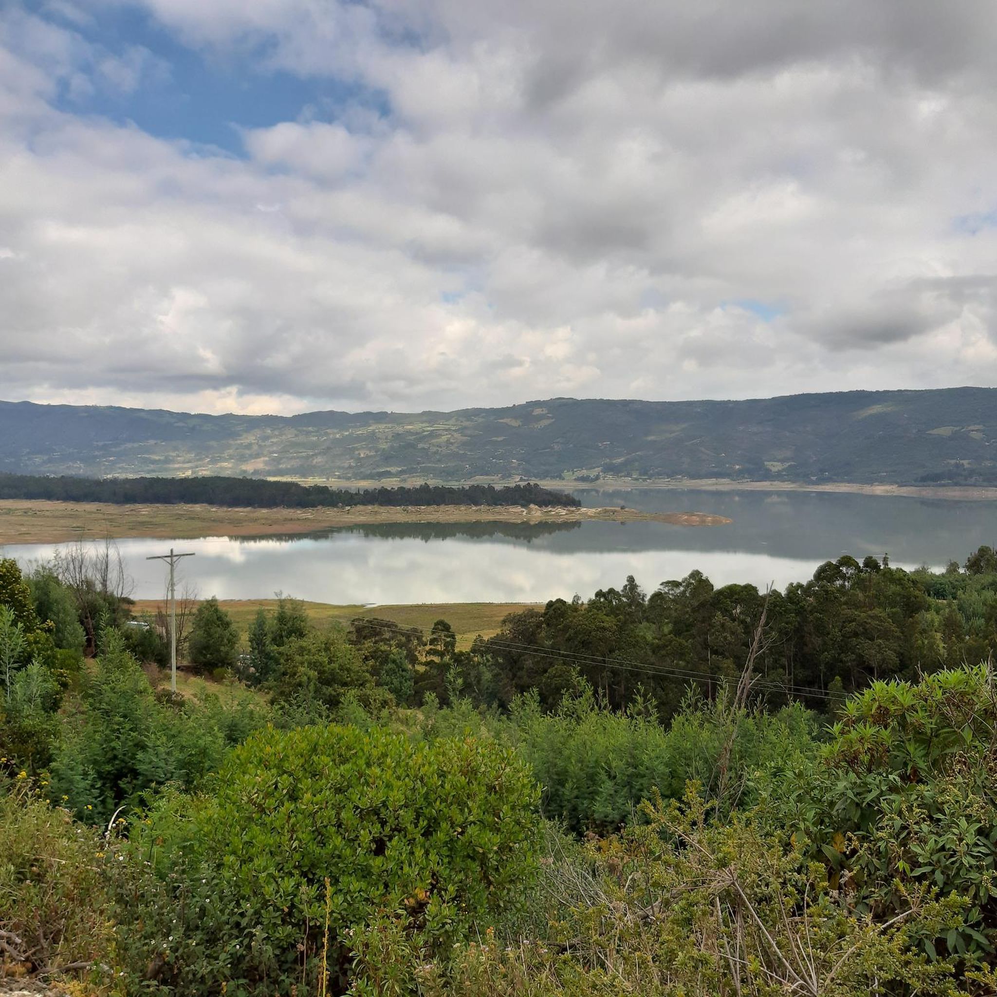
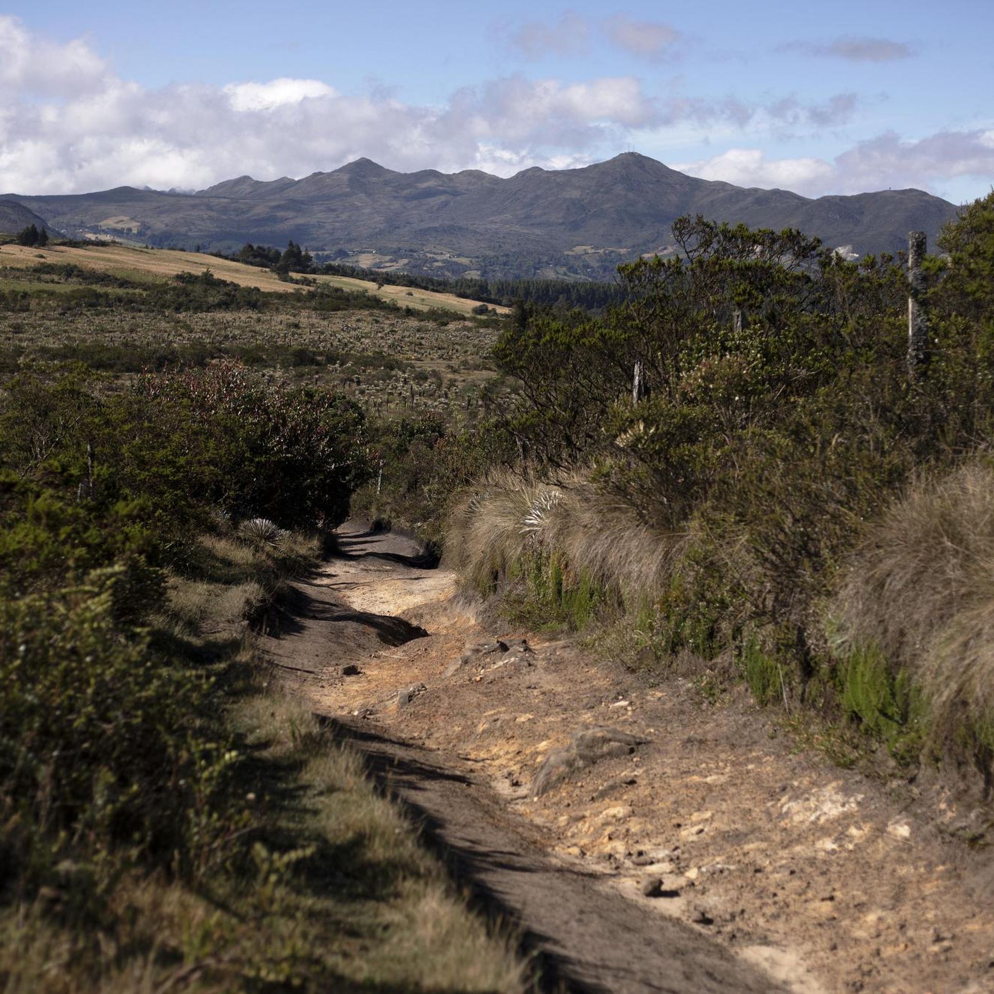

Tips from the Community

Excellent place to refuel. Lots of options and good prices, still.
0
0
Port with a manageable slope, it becomes hard at the end due to the altitude (3,500 meters) and the wind in the last km. Very cold up, and on the way down, I suggest a good jacket and FULL FINGER gloves.
0
0

Singletrack parts, after rains it can be difficult on the bike, but nice
0
0

going up from the "Y" (Guasca) there are 11km, a road in good condition, generally cold, foggy and rainy. From Gachetá going up there are 35km of ascent.
0
0

Bring a windbreaker vest or jacket, because of the high altitude it can get really cold
2
0

Frequently Asked Questions
How challenging are the touring cycling routes in Guatavita?
Touring cycling in Guatavita offers a range of difficulties due to its Andean mountain terrain. While there are 5 moderate routes, the majority of the 27 routes are considered difficult, featuring significant climbs and descents. Cyclists should expect varied topography, with some routes incorporating both good quality asphalt and unpaved segments.
Are there any shorter, more moderate touring cycling routes available in Guatavita?
Yes, for those seeking a more moderate experience, the Tominé Reservoir – Sesquilé loop from Marina de Guatavita is a great option. This 14.1-mile (22.7 km) route offers scenic views of the Tominé Reservoir and surrounding hills, typically taking around 1 hour 23 minutes to complete.
What natural features or landmarks can I see while cycling in Guatavita?
Guatavita's touring cycling routes are rich with natural beauty and cultural sites. You can expect to see the iconic Lake Guatavita, known for the legend of El Dorado, and the expansive Tominé Reservoir. Routes also pass through charming towns like Guatavita and Sesquilé, and feature challenging climbs such as the Salitre–Guasquita Climb and Alto de La Cuchilla.
Are there any specific viewpoints along the touring cycling routes?
Absolutely. Many routes offer panoramic vistas, particularly around the Embalse de Tominé. Notable viewpoints include View of Embalse de Tominé and View of the Sopo Reservoir and Sopo, providing excellent opportunities to appreciate the region's stunning landscapes.
Are there any circular touring cycling routes in Guatavita?
Yes, many of the touring cycling routes in Guatavita are designed as loops, allowing you to start and end in the same location. Examples include the Guasca – Guasca Main Square loop from Guatavita and the Guasca Main Square – Guasca loop from Vereda Montecillo, which offer varied distances and elevation gains.
What do other touring cyclists enjoy most about cycling in Guatavita?
The area is highly rated by the komoot community, with an average score of 4.8 stars from more than 10 reviews. Reviewers often praise the diverse landscapes, the challenging Andean mountain terrain with its rewarding climbs and descents, and the scenic views of natural features like the Laguna de Guatavita and Embalse de Tominé. The blend of good quality asphalt and some unpaved segments also adds to the adventure.
What are some of the more demanding touring cycling routes for experienced riders?
For experienced riders seeking a challenge, routes like the Alto de los Gavilanes – Alto Peñablanca loop from Parada are ideal. This difficult route covers 29.7 miles (47.8 km) with over 1,300 meters of elevation gain, offering a significant test of endurance and climbing ability through the Andean mountains.
Can I find places to eat or rest along the touring cycling routes?
Yes, the region offers charming towns that serve as excellent resting points. Cyclists often enjoy stopping in towns like Guatavita itself, with its whitewashed streets, or the Sesquilé Town Square. These locations provide opportunities for breakfast, lunch, or simply to relax and experience local culture.
What kind of terrain can I expect on the touring cycling routes in Guatavita?
The terrain in Guatavita is predominantly Andean mountain, meaning you'll encounter a mix of challenging climbs and exhilarating descents. While many routes feature good quality asphalt, some segments may be unpaved. This variety adds to the adventure and requires cyclists to be prepared for different road conditions.
How far are the touring cycling routes in Guatavita from Bogotá?
Guatavita is conveniently located just 75 kilometers from Bogotá, making it an accessible destination for a day trip or a weekend cycling adventure. This proximity, combined with the diverse landscapes, makes it a popular choice for cyclists from the capital.
Are there any routes that specifically feature the Embalse de Tominé?
Yes, the Embalse de Tominé is a prominent feature in many routes. The Tominé Reservoir – Sesquilé loop from Marina de Guatavita is a prime example, offering continuous views of the massive reservoir and its surrounding hills, making it a very scenic ride.
Most popular attractions in Guatavita

Get inspired with the komoot mobile app


Explore more
Browse the best Cycling routes in other regions.
