The best MTB trails in Guatavita
4.8
(33)
250
riders
23
rides
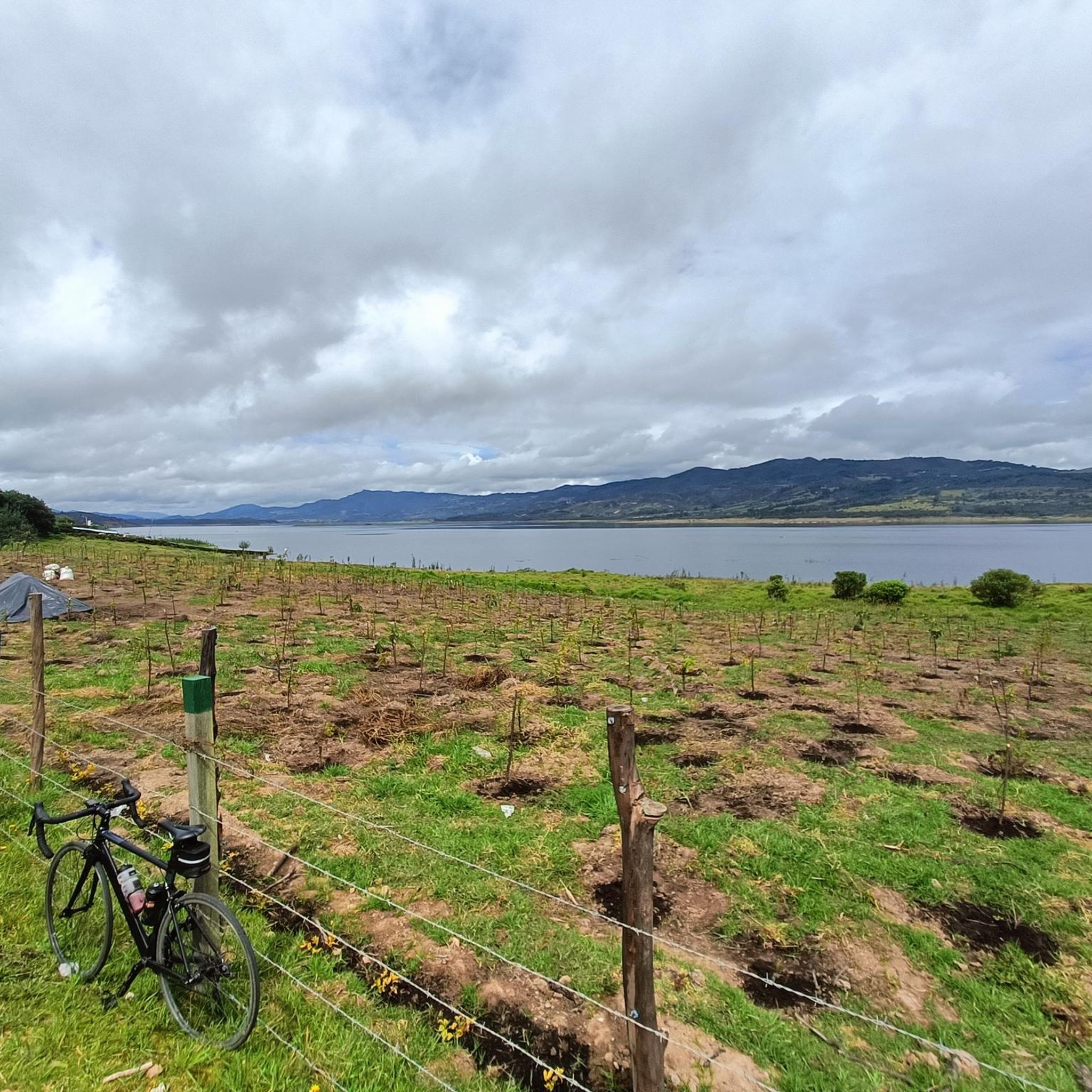
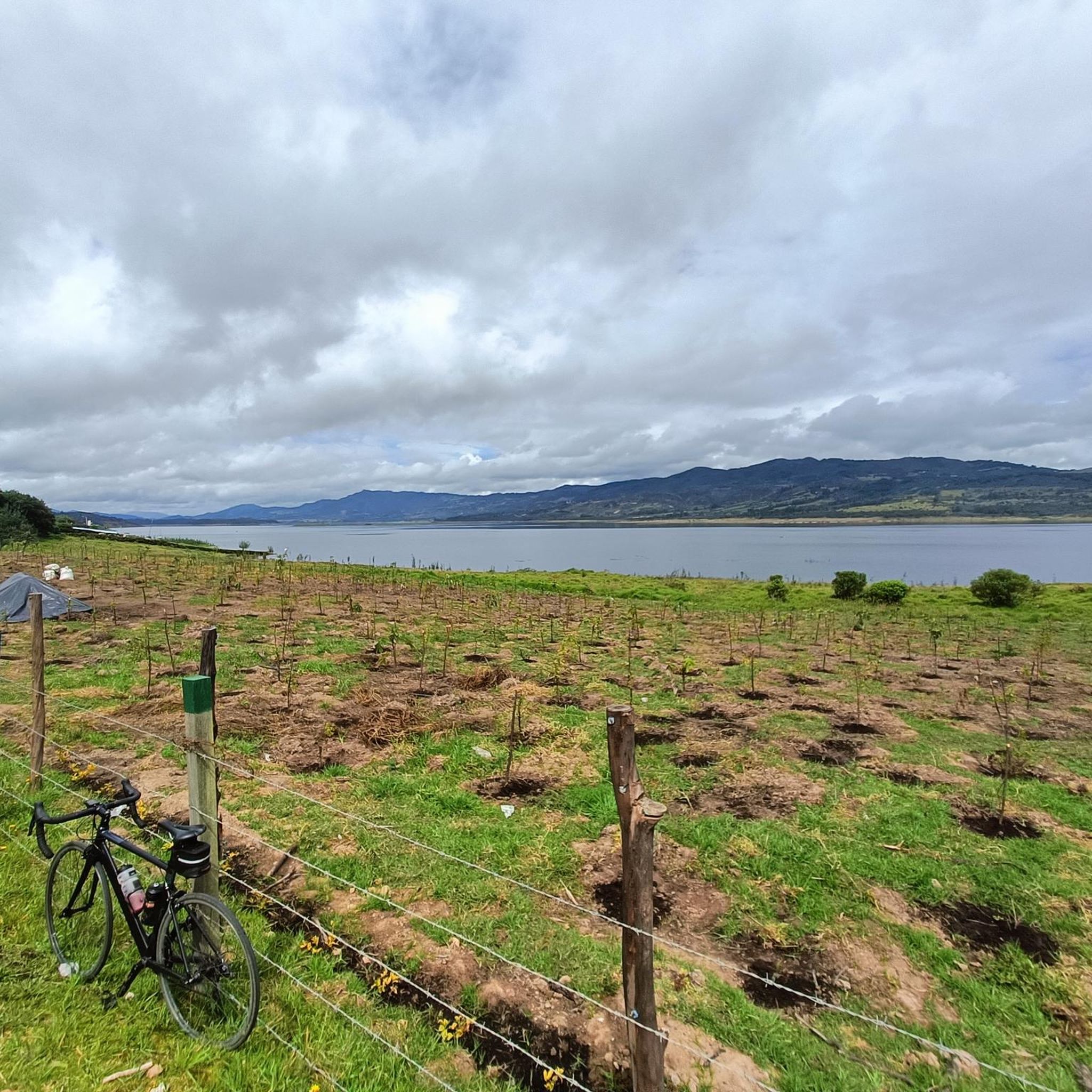
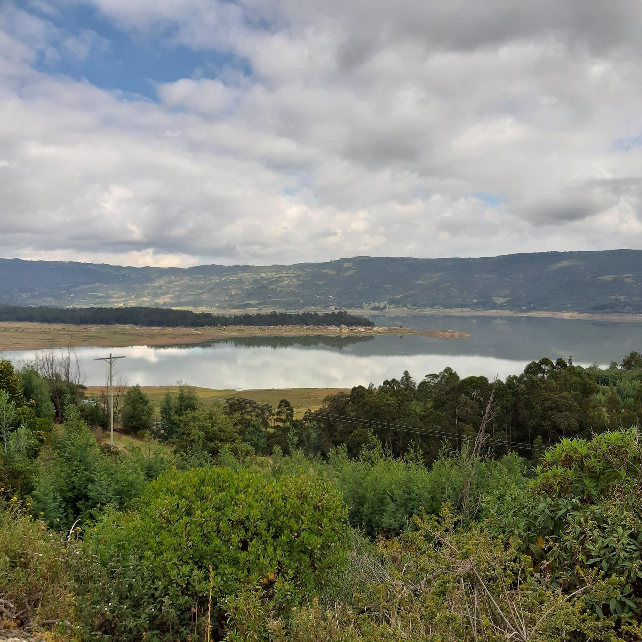
Mountain biking in Guatavita offers diverse and scenic landscapes within the Andean highlands of Colombia. The region is characterized by mountainous terrain, including the Cordillera Oriental of the Colombian Andes, and features unique páramo landscapes with high-altitude grasslands. Key natural features include the sacred Lake Guatavita, surrounded by lush green hills, and the expansive Tominé Reservoir, which provides picturesque backdrops for many routes. These varied elevations and natural settings create a range of mountain biking experiences.
Best mountain bike trails…
Last updated: July 1, 2026
5.0
(1)
47
riders
55.8km
05:25
1,560m
1,560m
Hard mountain bike ride. Very good fitness required. Suitable for all skill levels.
30
riders
62.1km
06:31
1,760m
1,760m
Hard mountain bike ride. Very good fitness required. Advanced riding skills necessary.

Sign up for free
10
riders
70.8km
05:42
1,280m
1,280m
Hard mountain bike ride. Very good fitness required. Suitable for all skill levels.
5.0
(2)
8
riders
33.6km
02:47
860m
860m
Moderate mountain bike ride. Good fitness required. Suitable for all skill levels.
5.0
(2)
7
riders
61.4km
04:55
1,190m
1,190m
Hard mountain bike ride. Very good fitness required. Suitable for all skill levels.
Get access to more routes and recommendations from other explorers.
Sign up for free
Already have an account?
Our route recommendations are based on thousands of hikes, rides, and runs completed by other people on komoot.
Start today with a free account
Your next adventure awaits.
Login or Signup

Tips from the Community

A super route ending at the Bear Mountain in a technical section to then enjoy a beautiful view of the Bogotá savannah and then a great descent
0
0
It is a steep climb on asphalt, a very good route for training.
0
0

hard, but beautiful
0
0


Great ride with my mates. The downhill in Montenquiva deserves respect. A friend fell and broke his clavicule. Apart from that incident the ride was awesome, the landscape breathtaking
0
0

Frequently Asked Questions
How many mountain bike trails are there in Guatavita?
Guatavita offers over 20 mountain bike trails, catering to various skill levels. You'll find a good mix of moderate and difficult routes to explore the region's diverse landscapes.
What kind of terrain can I expect on mountain bike trails in Guatavita?
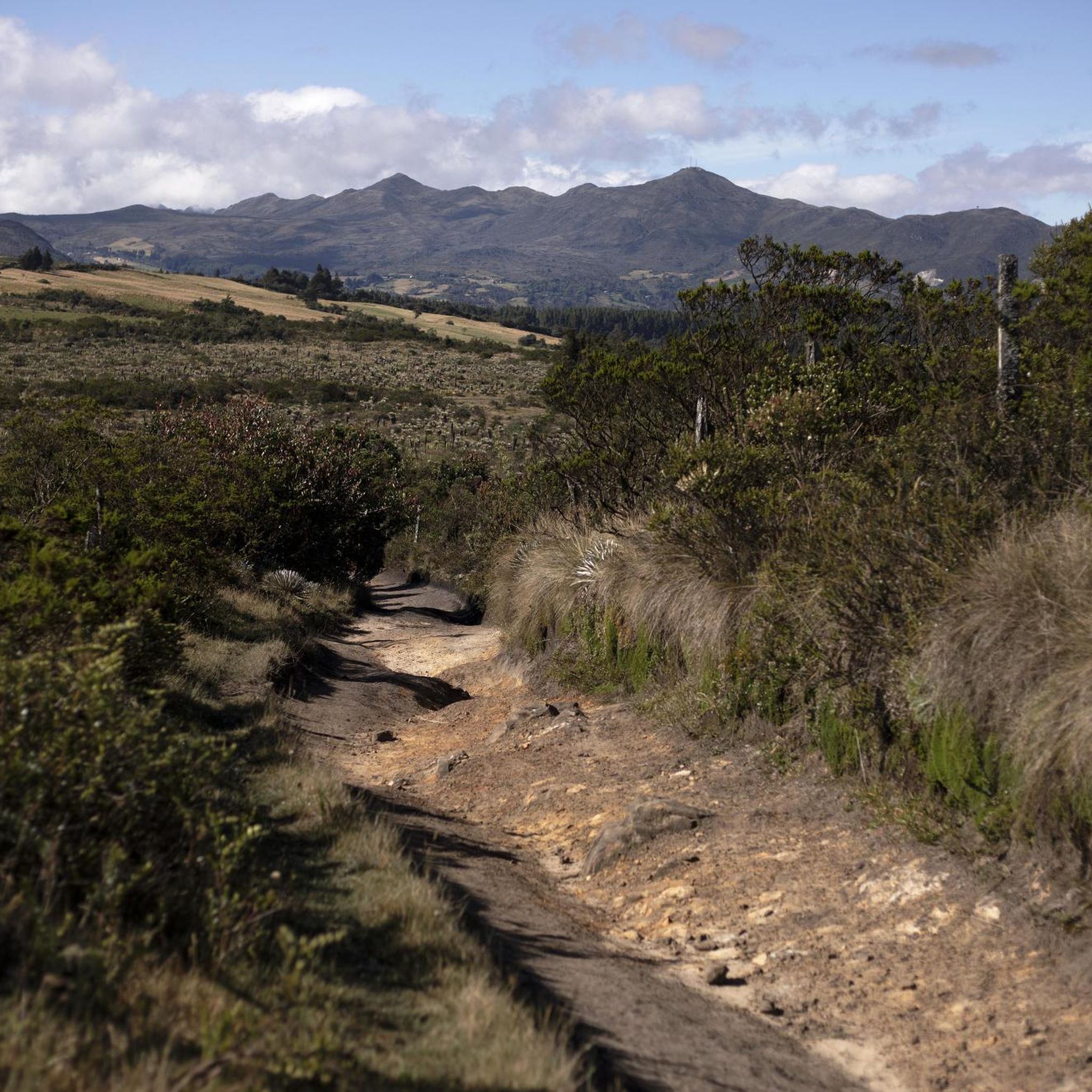
The terrain in Guatavita is characterized by the Andean mountains, featuring varying elevations, from challenging climbs to scenic descents. You'll encounter unique páramo landscapes with high-altitude grasslands, dirt fire roads, and some technical singletracks. Routes often provide views of Lake Guatavita and the Tominé Reservoir.
Are there any easy mountain bike trails for beginners in Guatavita?
While Guatavita is known for its more challenging routes, with 11 moderate and 13 difficult trails, there are no specifically designated 'easy' trails in our current selection. However, some moderate routes might be suitable for fit beginners looking for a challenge. Always check the route details for elevation and distance before you go.
What are some scenic mountain bike routes that offer great views?
Many routes in Guatavita offer stunning vistas. For panoramic views of Lake Guatavita and the surrounding Andean mountains, consider routes that pass near the lake. The Laguna del Cacique Guatavita – Tominé Reservoir loop from Guasca is a difficult route that provides picturesque backdrops of both the sacred lake and the expansive reservoir.
What interesting landmarks or natural features can I see along the trails?
Guatavita's trails often pass by significant natural and cultural landmarks. You can encounter the sacred Lake Guatavita, famously associated with the El Dorado legend, and the expansive Tominé Reservoir. Some routes also feature challenging ascents like the Salitre–Guasquita Climb or the Alto de La Cuchilla, which are popular training spots for cyclists.
Are there any loop mountain bike trails in Guatavita?
Yes, many of the mountain bike trails in Guatavita are designed as loops. For example, the difficult Alto de La Cuchilla – Páramo Landscape loop from Guasca and the Loma de Armadillos – Páramo Landscape loop from Vereda Montecillo are popular options that bring you back to your starting point.
What is the best time of year to go mountain biking in Guatavita?
Guatavita's climate is generally mild due to its Andean highland location. While specific seasonal considerations can vary, the region is often suitable for mountain biking year-round. However, it's always advisable to check local weather forecasts before heading out, especially during rainy seasons, as trail conditions can change.
What do other mountain bikers enjoy most about the trails in Guatavita?
The mountain bike trails in Guatavita are highly rated by the komoot community, with an average score of 4.8 stars from over 43 reviews. Riders frequently praise the diverse and scenic landscapes, the challenging climbs, and the stunning views of Lake Guatavita and the Tominé Reservoir. The unique páramo landscapes are also a highlight for many.
Are there any amenities like cafes or places to stop along the mountain bike routes?
Yes, some routes offer convenient stops. For instance, the town of Sesquilé, with its Sesquilé Town Square, can be a good spot for a break or breakfast on certain trails. Guatavita town itself also provides various services, including rentals and guided tours, and opportunities to experience local gastronomy.
Is there parking available for mountain bikers in Guatavita?
While specific parking details for every trailhead are not always listed, Guatavita is a well-visited area, and parking options are generally available in and around the main towns and popular starting points for trails. It's recommended to research parking near your chosen trailhead or consider starting from a town like Guasca or Vereda Montecillo, which are common access points for many routes.
Are there any particularly challenging mountain bike trails for experienced riders?
Absolutely. Guatavita is well-known for its challenging routes. Experienced riders can tackle trails like the Bear Mountain – Alto de Yerbabuena loop from Guasca, a difficult 70.9 km trail with significant elevation gain. These routes often feature steep climbs and descents through mountainous terrain.
Most popular attractions in Guatavita

Get inspired with the komoot mobile app


Explore more
Browse the best MTB trails in other regions.
