The best walks and hikes in Guatavita
4.9
(12)
93
hikers
8
hikes
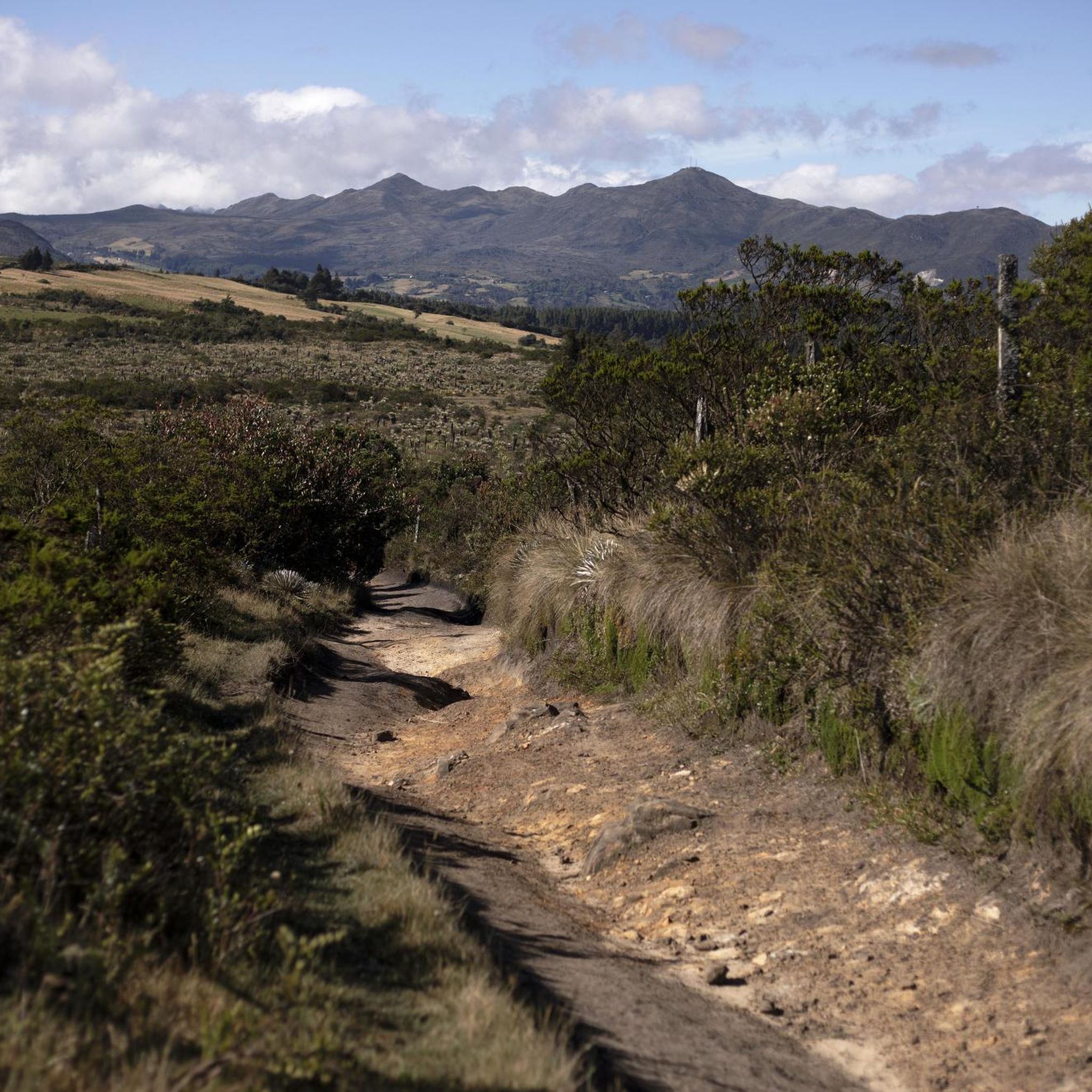
Hiking in Guatavita provides access to the Cordillera Oriental of the Colombian Andes, characterized by lush green hills and significant natural features. The region features the high-altitude Laguna de Guatavita, a geological depression known for its emerald waters, and the expansive Embalse de Tominé reservoir. These Andean landscapes offer panoramic views and diverse ecosystems for outdoor exploration.
Best hiking trails in Guatavita
- The most popular hiking route is Lake Guatavita loop from Entrada Laguna Guatavita, a 3.1 miles (5.0 km) trail that takes 1 hour 29 minutes to complete. This easy route offers views of the historic Laguna de Guatavita.
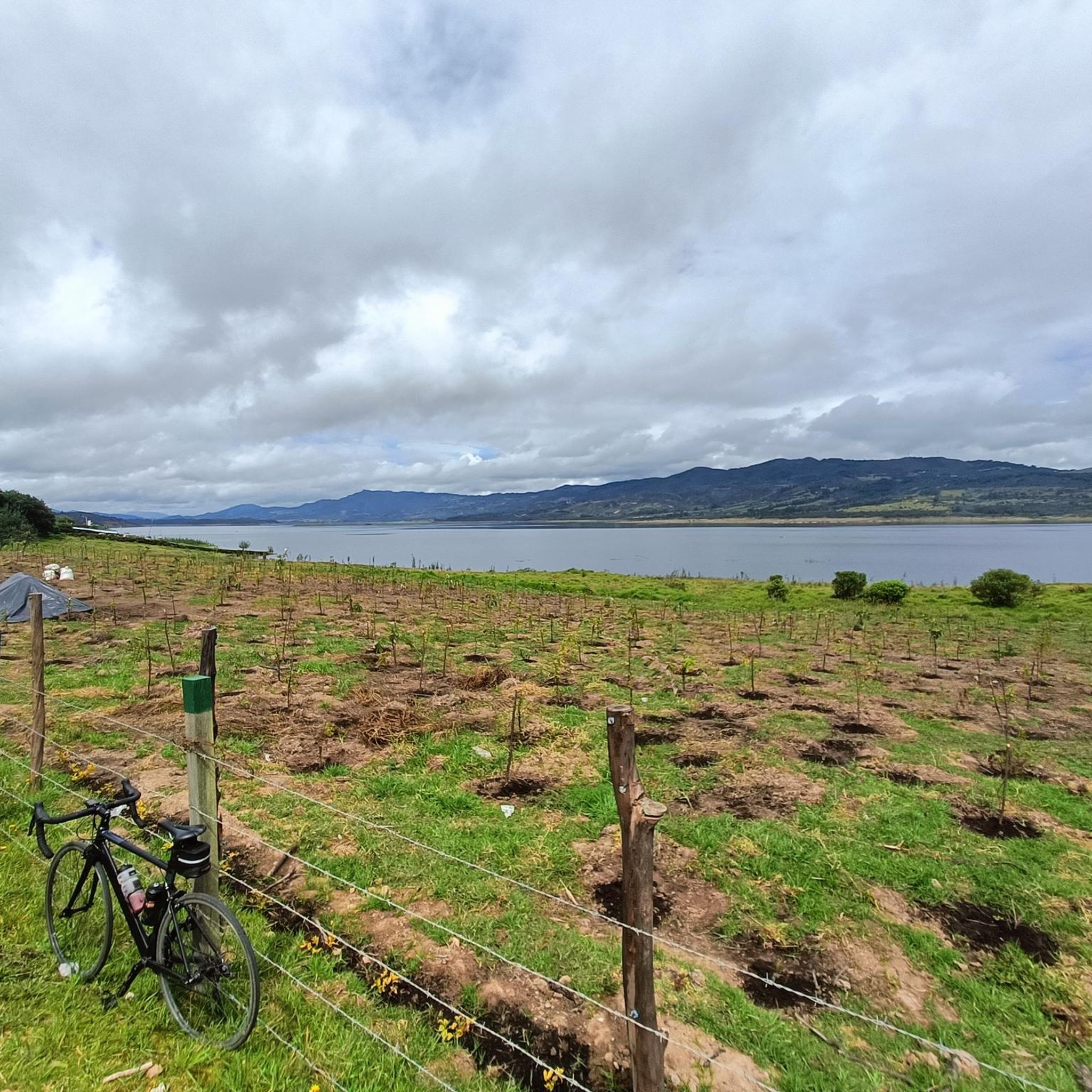
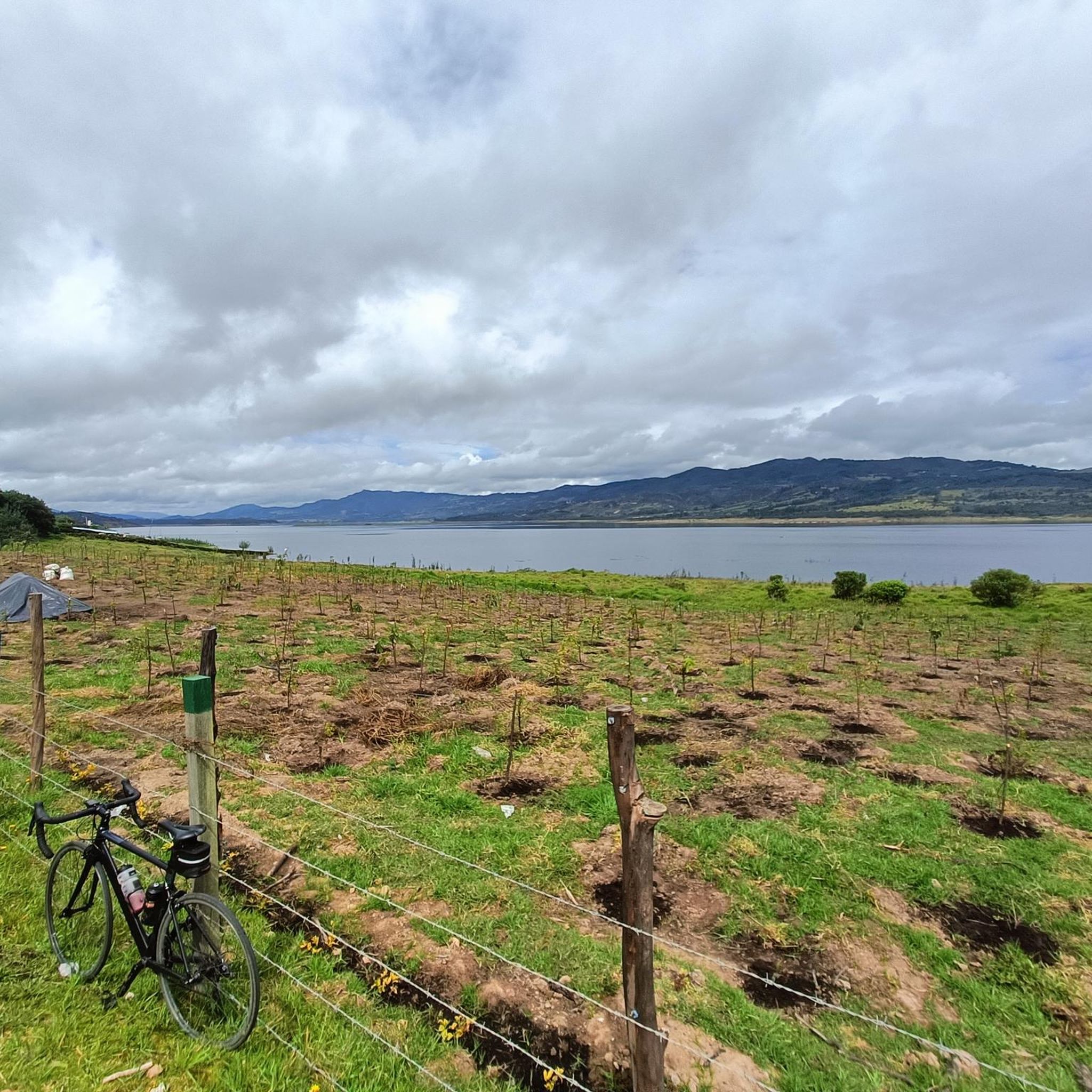
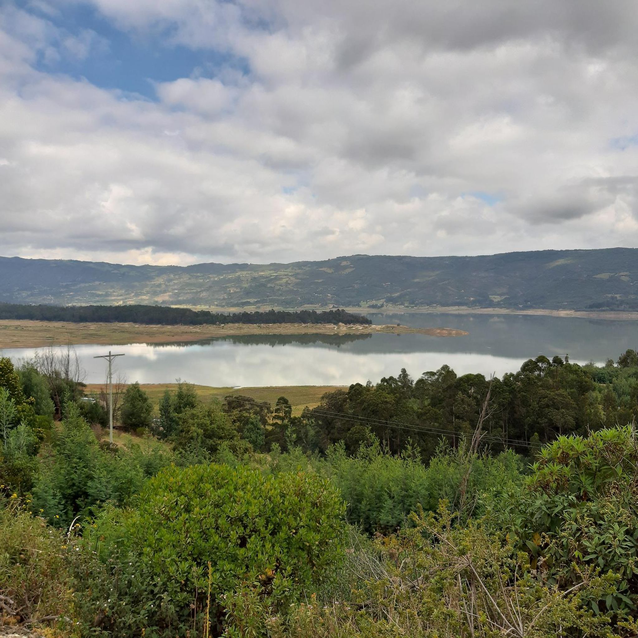
- Another top favourite among local hikers is The Gate of Heaven – View of Embalse de Tominé loop from Guatavita, a moderate 9.4 miles (15.1 km) path. This trail provides expansive views of the Embalse de Tominé.
- Local hikers also love the Tominé Reservoir loop from Sesquilé, a 7.2 miles (11.6 km) trail leading through varied terrain around the reservoir, often completed in about 4 hours 51 minutes.
- Hiking in Guatavita is defined by Andean landscapes, the high-altitude Laguna de Guatavita, and the Embalse de Tominé. The network offers options for easy strolls, moderate paths, and more challenging terrains.
- The routes in Guatavita are highly rated by the komoot community with an average score of 4.9 stars from more than 10 reviews. More than 80 hikers have used komoot to explore Guatavita's varied terrain.
Last updated: July 4, 2026
46
hikers
4.98km
01:29
160m
160m
Easy hike. Great for any fitness level. Easily-accessible paths. Suitable for all skill levels.
8
hikers
15.1km
04:42
580m
580m
Moderate hike. Good fitness required. Easily-accessible paths. Suitable for all skill levels.

Sign up for free
8
hikers
11.1km
04:44
730m
730m
Moderate hike. Good fitness required. Mostly accessible paths. Sure-footedness required.
2
hikers
20.2km
06:52
950m
950m
Hard hike. Very good fitness required. Mostly accessible paths. Sure-footedness required.
5.0
(1)
3
hikers
16.1km
04:58
540m
540m
Moderate hike. Good fitness required. Easily-accessible paths. Suitable for all skill levels.
Get access to more routes and recommendations from other explorers.
Sign up for free
Already have an account?
Our route recommendations are based on thousands of hikes, rides, and runs completed by other people on komoot.
Start today with a free account
Your next adventure awaits.
Login or Signup

Tips from the Community


This is where the legend of “El Dorado” originated. The indigenous Muicas occasionally dropped gold offerings into the lake. Thus the conquistadors believed the whole ground was covered in gold. There were even tried to drain the lake. These efforts are still visible. The laguna is only accessible by a guided tour with somewhat lengthy explanations
3
0
Frequently Asked Questions
How many hiking trails are available in Guatavita?
Guatavita offers a selection of 8 hiking trails, catering to various skill levels from easy strolls to more challenging routes.
Are there easy hiking trails suitable for beginners or families in Guatavita?
Yes, Guatavita has 2 easy hiking trails. A great option is the Lake Guatavita loop from Entrada Laguna Guatavita, which is 5.0 km long and offers beautiful views of the historic Laguna de Guatavita. The trails around Laguna de Guatavita generally feature gentle slopes, perfect for leisurely walks.
What kind of natural features and landmarks can I expect to see while hiking in Guatavita?
Hikers in Guatavita will encounter stunning Andean landscapes, including the iconic Laguna de Guatavita, known for its emerald waters and Muisca legend. You'll also find the expansive Embalse de Tominé reservoir, offering panoramic vistas. Many trails lead to viewpoints overlooking these significant natural features.
Are there any challenging hikes for experienced trekkers in Guatavita?
Yes, for those seeking a more demanding experience, Guatavita offers 1 difficult trail. The View of Embalse de Tominé loop from Vereda Montecillo is a challenging 20.2 km route with significant elevation changes, providing a rigorous workout and rewarding views.
What do other hikers enjoy most about hiking in Guatavita?
The hiking routes in Guatavita are highly rated by the komoot community, with an average score of 4.9 stars from more than 10 reviews. Hikers often praise the breathtaking panoramic views of the Andean landscapes, the mystical atmosphere of Laguna de Guatavita, and the diverse terrain that caters to various fitness levels.
Are there any circular hiking routes in Guatavita?
Yes, many of Guatavita's trails are circular, allowing you to start and end at the same point. Examples include the The Gate of Heaven – View of Embalse de Tominé loop from Guatavita and the Tominé Reservoir loop from Sesquilé, both offering varied scenery.
What is the best time of year to go hiking in Guatavita?
Guatavita's cool climate makes it suitable for hiking year-round. However, it's always advisable to check local weather forecasts before heading out, as the high-altitude environment can experience sudden changes. Layered clothing is recommended due to temperature variations.
Is there public transport available to reach the trailheads in Guatavita?
Guatavita is accessible as a day trip from Bogotá, and local transport options are available within the region. For specific trailheads, it's best to research local bus routes or taxi services from Guatavita town, as direct public transport to every starting point might vary.
Are there any entry fees or permits required for hiking in Guatavita, especially for Laguna de Guatavita?
Access to Laguna de Guatavita is typically via guided tours along designated trails, which usually involve an entry fee. These tours often include explanations of its historical and cultural significance. It's recommended to check current regulations and fees for the natural reserve before your visit. For more information on visiting Laguna de Guatavita, you can refer to Visit My Colombia.
What should I wear when hiking in Guatavita?
Due to the cool temperatures and potential for changing weather in the Andean climate, it's advised to wear comfortable hiking shoes and layered clothing. This allows you to adjust to varying conditions throughout your hike.
Can I find places to eat or stay near the hiking trails in Guatavita?
The charming town of Guatavita itself offers colonial architecture, artisan markets, and various options for dining and accommodation. While specific cafes might not be directly on every trailhead, the town provides a convenient base for hikers to find restaurants and places to stay after their adventures.
Are there any other outdoor activities besides hiking available in Guatavita?
Beyond hiking, Guatavita is a hub for other outdoor pursuits. You can enjoy cycling on challenging routes like the Salitre–Guasquita Climb, paragliding over the reservoir, horseback riding on rural trails, and various water sports on the Embalse de Tominé.
Most popular attractions in Guatavita

Get inspired with the komoot mobile app


Explore more
Browse the best Hikes in other regions.
