The best road cycling routes in Guatavita
4.9
(20)
1,076
riders
33
rides
Road cycling routes in Guatavita offer diverse terrain within Colombia's Cundinamarca region. The area features Andean landscapes, challenging climbs, and scenic roads, catering to various fitness levels. Key features include routes around the Embalse de Tominé and roads leading to the Laguna de Guatavita, alongside numerous rolling hills. Cyclists can expect varied elevations and a mix of well-paved surfaces and more challenging segments.
Best road cycling routes in Guatavita
- The most popular road cycling route is View of Tominé Reservoir – Desserts Ice Cream Shop, Guatavita loop from Guasca, a 40.3 miles (64.8 km) trail that takes 3 hours 8 minutes to complete, offering panoramic views of the Embalse de Tominé.
- Another top favourite among local road cyclists is Alto del Sisga – Machetá Town Sign loop from Gachancipá, a difficult 49.5 miles (79.6 km) path. This route includes significant elevation gain through the Andean foothills.
- Local road cyclists also love the Desserts Ice Cream Shop, Guatavita – Sesquilé Town Square loop from Vereda Montecillo, a 22.7 miles (36.6 km) trail leading through the scenic countryside, often completed in about 1 hour 39 minutes.
- Road cycling in Guatavita is defined by Andean mountains, the expansive Embalse de Tominé, and rolling hills, with routes offering options for various ability levels from moderate to difficult.
- The routes in Guatavita are highly rated by the komoot community with an average score of 4.9 stars from more than 20 reviews. More than 900 road cyclists have used komoot to explore Guatavita's varied terrain.
Last updated: July 1, 2026
5.0
(1)
153
riders
Moderate road ride. Good fitness required. Mostly well-paved surfaces and easy to ride.
5.0
(2)
192
riders
79.5km
04:21
1,500m
1,500m
Hard road ride. Very good fitness required. Mostly well-paved surfaces and easy to ride.

Sign up for free
4.3
(3)
129
riders
36.8km
01:40
410m
410m
Moderate road ride. Good fitness required. Mostly well-paved surfaces and easy to ride.
5.0
(1)
127
riders
60.2km
02:53
770m
770m
Moderate road ride. Good fitness required. Mostly well-paved surfaces and easy to ride.
5.0
(1)
53
riders
34.1km
01:30
120m
120m
Moderate road ride. Great for any fitness level. Some segments of this route may be unpaved and difficult to ride.
Get access to more routes and recommendations from other explorers.
Sign up for free
Already have an account?
Our route recommendations are based on thousands of hikes, rides, and runs completed by other people on komoot.
Start today with a free account
Your next adventure awaits.
Login or Signup

Tips from the Community

Beautiful view and a reward for those of us who managed to get there.
0
0
Getting here is a joy, because even though you know there are still many kilometers to travel, the descent begins here after more than 80 k towards the direction we are going from Bogota (depending on where you are leaving from, of course).
0
0


Super exit, it can be by the Highway and return by Sesquilé (smoother) or by Patios round trip. And throughout the tour, many places for photos, coffee and snacks. Leaving strength if you return through Patios to climb Teusacá (almost 3 km at 7% average).
0
0

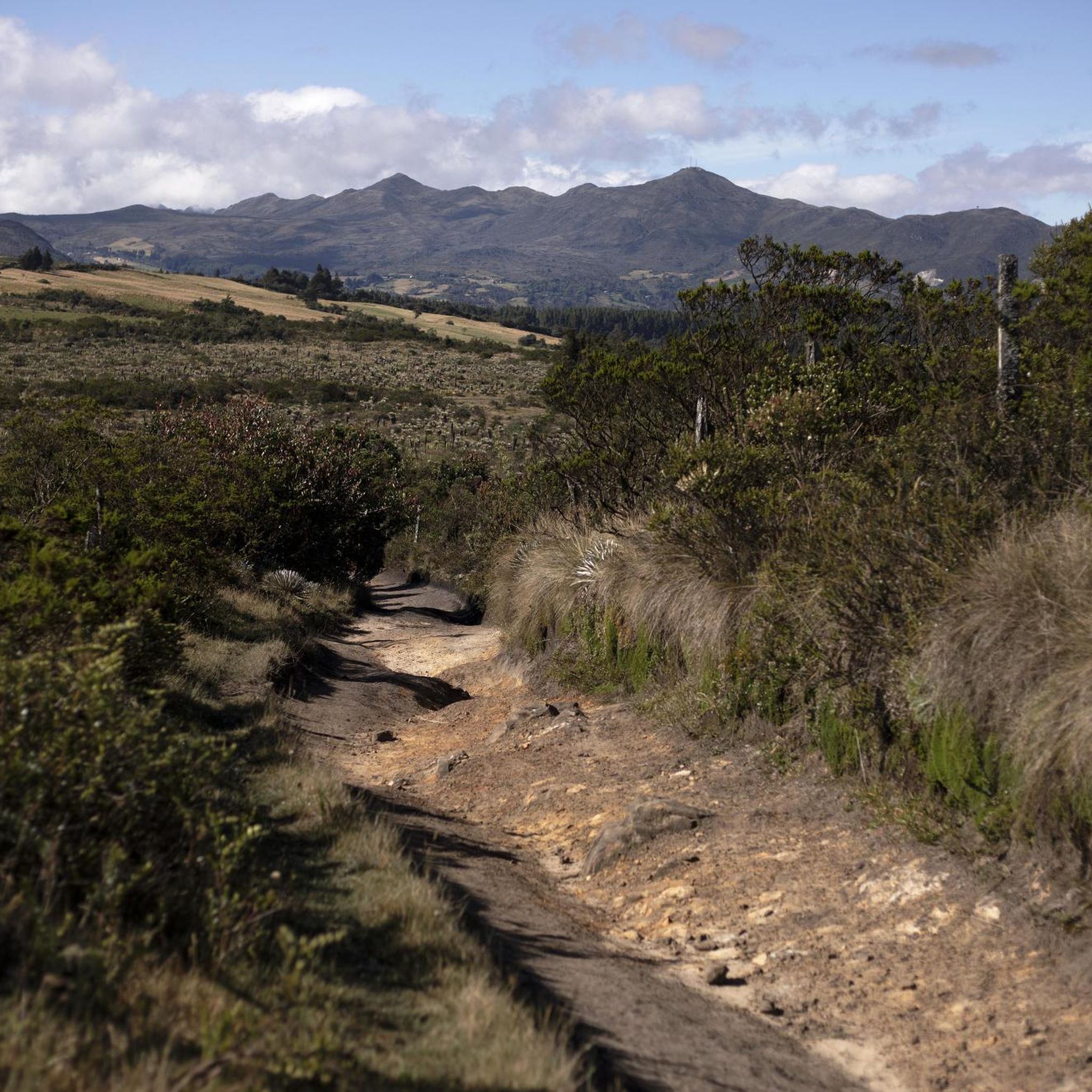
Detour going up to Alto de la Avena. 2.8km at 6% average. Poor quality asphalt full of holes, high crust that connects with a series of trails to Guasca and Guatavita (lagoon).
0
0
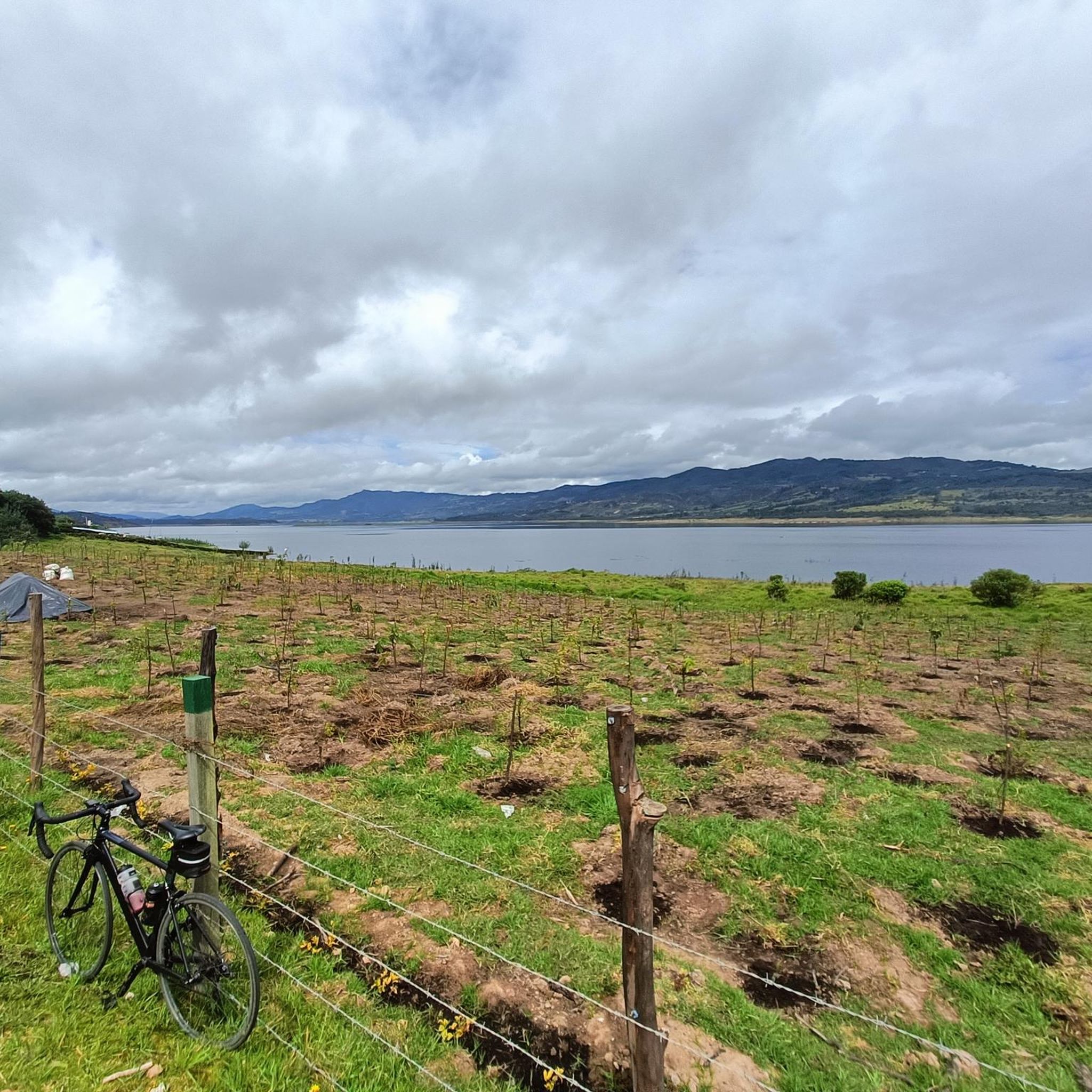
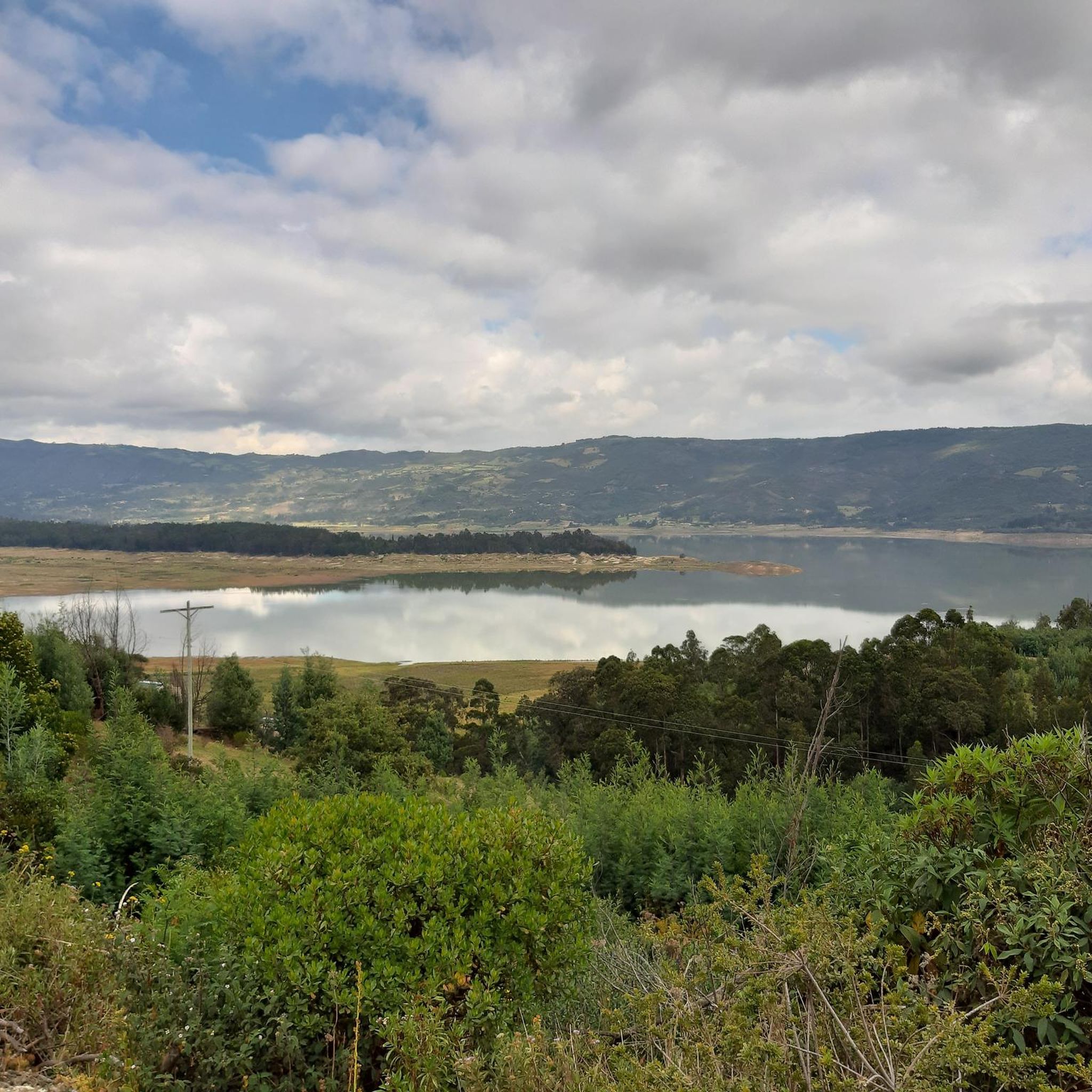
Good quality asphalt, the Tominé reservoir is an emblematic site full of indigenous culture and history. You can climb the trail to the Sacred Lagoon of Guatavita. Favorite route for usually by cyclists from Bogotá.
0
0
Arriving and returning through Patios, makes it a different training. On the highway, much smoother. If it is for cycling, he also goes through several towns through Patios, which makes the outing very pleasant, stopping at each place to eat something (Sesquilé, Guatavita, Sopo, Calera...)
0
0
A route of more than 150 km and more than 2,500 meters of unevenness (through Patios round trip), excellent as background training. Hopefully I can do it on a clear day, to avoid the cold and be able to admire the landscapes. Delicious breakfast in Sesquilé or in Guatavita (on the edge of the dam). Very good road, generally careful drivers. You can go alone, ideal on the road, but MTB holds (there is not much wind).
0
0
Frequently Asked Questions
How many road cycling routes are available in Guatavita?
Guatavita offers over 30 road cycling routes, catering to various skill levels. You'll find a good mix of moderate and challenging options, with a few easier routes as well.
What kind of landscapes can I expect on road cycling routes in Guatavita?
Road cycling in Guatavita takes you through diverse Andean landscapes, characterized by rolling hills, scenic views of the Embalse de Tominé, and roads leading towards the iconic Laguna de Guatavita. You'll experience a blend of natural beauty and charming local towns.
Are there routes suitable for advanced road cyclists in Guatavita?
Yes, Guatavita provides several challenging routes for experienced road cyclists. For instance, the Alto del Sisga – Machetá Town Sign loop from Gachancipá is a difficult 79.6 km path with significant elevation gain through the Andean foothills. Another demanding option is the Alto de las Margaritas – View of Neusa Reservoir loop from Estación Gachancipá, covering 76.7 km with over 900 meters of ascent.
Can I cycle near Laguna de Guatavita?
While the immediate vicinity of the Laguna de Guatavita is more suited for hiking due to its sacred and protected nature, the roads leading to it offer incredibly scenic cycling opportunities. These routes provide breathtaking views of the lagoon and its surrounding lush landscapes. For more information on the Laguna, you can visit visitmycolombia.com.
What are some notable viewpoints or natural features along the road cycling routes?
Many routes offer stunning views of the Embalse de Tominé, a massive reservoir with significant cultural ties. You can also find viewpoints like View of Embalse de Tominé and View of the Sopo Reservoir and Sopo. The region also features notable climbs such as Salitre–Guasquita Climb and Alto de La Cuchilla.
Are there any circular road cycling routes in Guatavita?
Yes, Guatavita features several excellent circular routes. A popular choice is the View of Tominé Reservoir – Desserts Ice Cream Shop, Guatavita loop from Guasca, a 64.8 km moderate trail offering panoramic views. Another option is the Desserts Ice Cream Shop, Guatavita – Sesquilé Town Square loop from Vereda Montecillo, a shorter 36.6 km scenic ride.
What is the best time of year for road cycling in Guatavita?
Guatavita's location in the Andes means it offers a range of temperatures, allowing for cycling throughout the year. Adjusting your route to warmer or cooler elevations can help you find comfortable conditions. It's always advisable to check local weather forecasts before heading out.
What do other road cyclists enjoy most about road cycling in Guatavita?
The road cycling routes in Guatavita are highly rated by the komoot community, with an average score of 4.9 stars from over 20 reviews. Cyclists frequently praise the stunning Andean scenery, the challenging climbs, and the well-maintained roads around the Embalse de Tominé.
Are there any charming towns to visit along the road cycling routes?
Absolutely. Many routes pass through picturesque towns and villages such as Guatavita itself, as well as nearby Sesquilé and Sopo. These towns offer pleasant stops for photos, coffee, and snacks, allowing you to experience local culture and cuisine, with Guatavita's colonial charm and artisan markets being a highlight.
What are the typical road conditions like for cycling in Guatavita?
Guatavita and its surroundings offer varied road conditions. You'll find mostly well-paved surfaces suitable for moderate rides, especially around the Embalse de Tominé. However, some segments may be unpaved or more challenging, requiring good to very good fitness, particularly on routes with significant elevation gain.
Are there any easy or beginner-friendly road cycling routes in Guatavita?
Yes, out of the 33 routes available, 11 are classified as easy, making them suitable for beginners or those looking for a more relaxed ride. These routes typically feature less elevation gain and shorter distances, allowing you to enjoy the scenery without excessive challenge.
What is the average elevation gain on road cycling routes in Guatavita?
Given Guatavita's Andean setting, elevation gain is a significant feature of many routes. For example, the View of Tominé Reservoir – Desserts Ice Cream Shop, Guatavita loop from Guasca has an ascent of over 835 meters, while more difficult routes like the Alto del Sisga – Machetá Town Sign loop from Gachancipá can involve over 1500 meters of climbing.
Most popular attractions in Guatavita

Get inspired with the komoot mobile app


Explore more
Browse the best Road cycling routes in other regions.
