Top 3 Natural Monuments around Hariksee
Natural monuments around Hariksee are characterized by riparian forests, bogs, and stream valleys. The landscape, located between Schwalmtal and Niederkrüchten, Germany, has been shaped by natural processes and historical peat cutting. This area provides a setting for outdoor activities and exploration of its unique natural features.
Best natural monuments around Hariksee
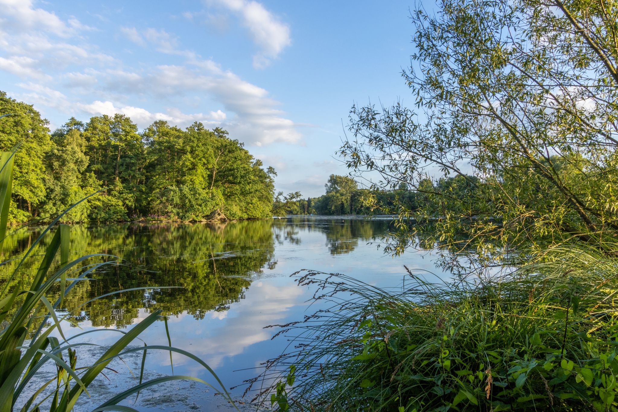
- The most popular natural monuments is Hariksee (Harik Lake), a lake that serves as a central point for recreation. Its shores feature riparian forests and bogs, and a…
Last updated: May 10, 2026
Hariksee (Harik Lake)
Highlight • Lake
Translated by Google •
Tip by

View of the Hariksee (Lake Harik)
Highlight • Lake
Translated by Google •
Tip by

Sign up now to discover places like this
Get recommendations on the best single tracks, peaks, & plenty of other exciting outdoor places.
Sign up for free
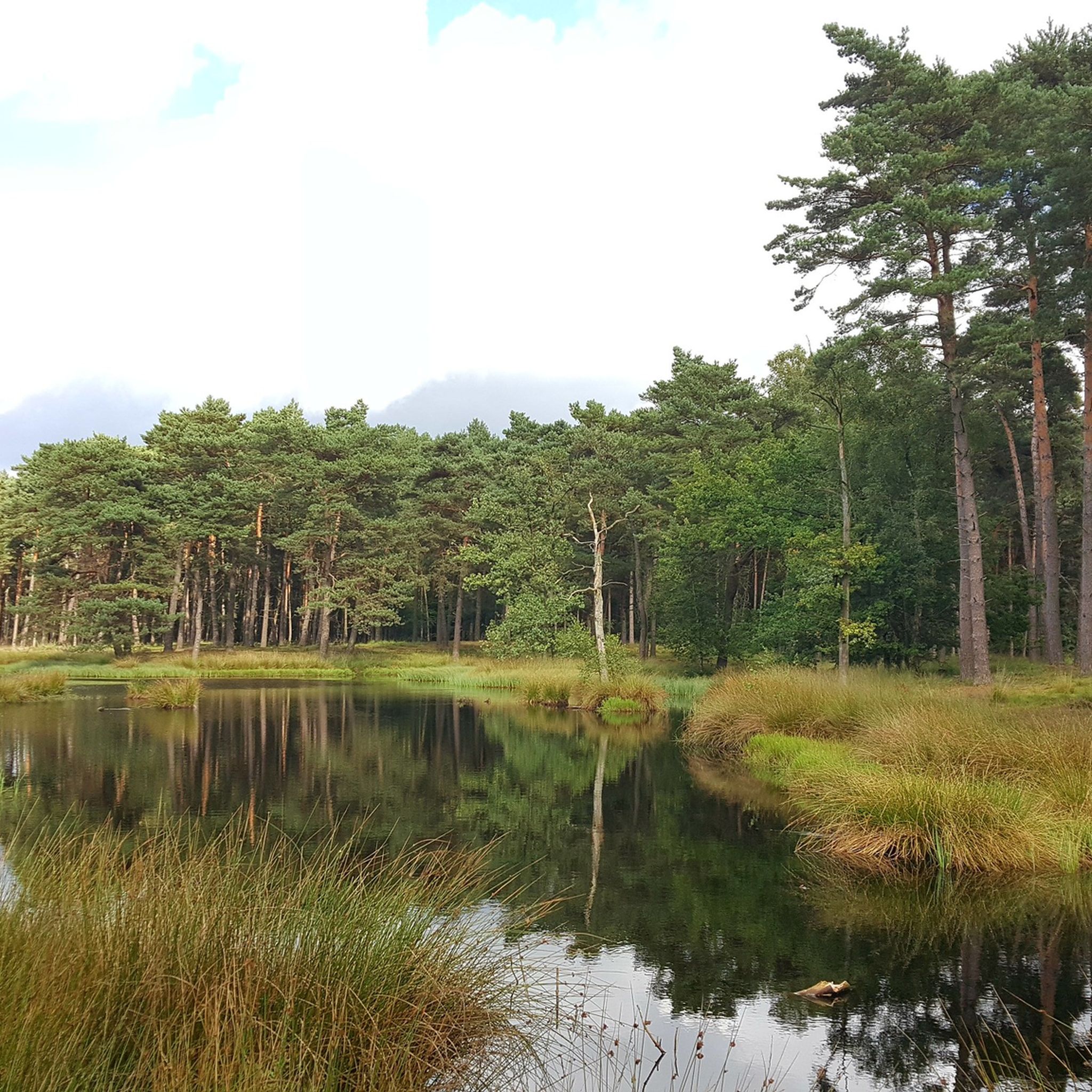
Tangle of roots
Highlight • Natural Monument
Translated by Google •
Tip by

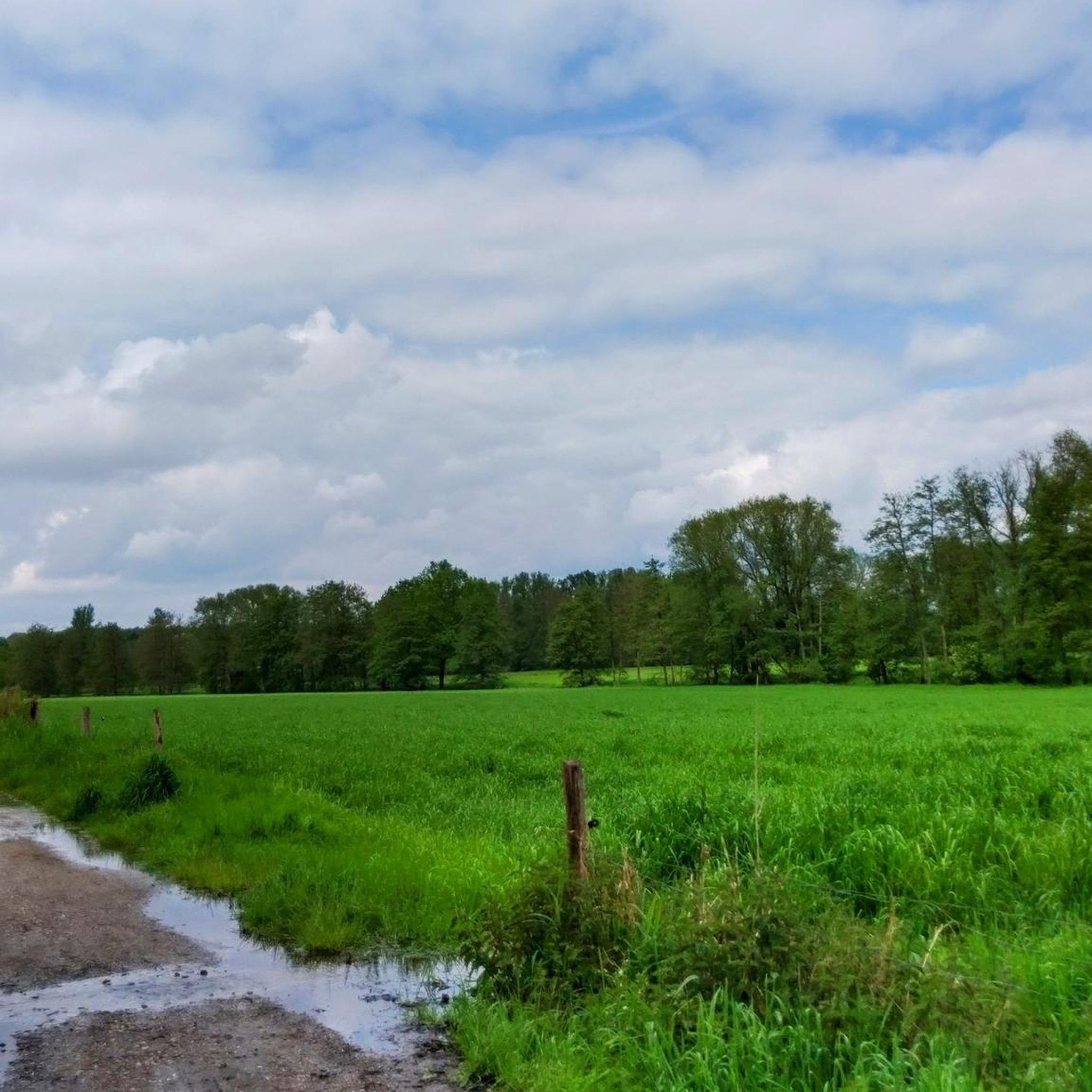
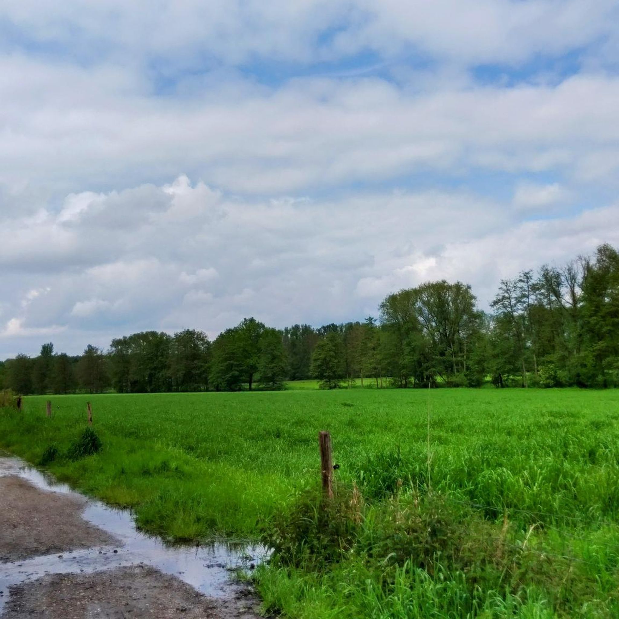
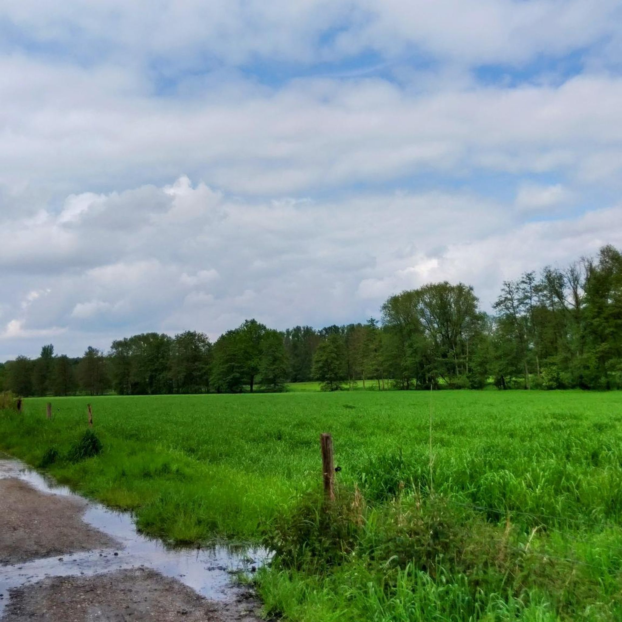
Waterfowl meadows in Naturpark Schwalm-Nette
Highlight • Natural
Translated by Google •
Tip by
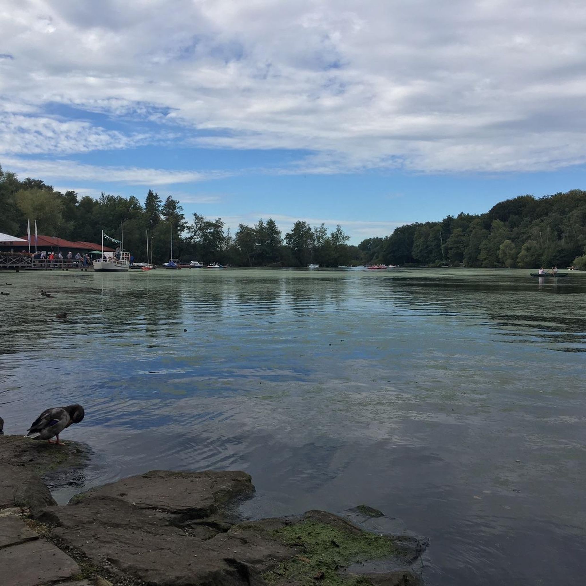
View of the Hariksee and the Borner See
Highlight • Viewpoint
Translated by Google •
Tip by

Start today with a free account
Your next adventure awaits.
Login or Signup

Other adventures around Hariksee

Tips from the Community

The waterfowl meadows in Schwalm-Nette Nature Park are a unique feature of the water-rich landscape along the German-Dutch border. This nature park, which covers approximately 435 square kilometers in North Rhine-Westphalia, lies between Mönchengladbach, Viersen, and the Dutch province of Limburg. Established as a nature park in 1965, the area has been part of the cross-border Maas-Schwalm-Nette Nature Park since 1976. Characteristic of this region are the numerous rivers, streams, lakes, and wetlands that together form a diverse landscape of water, wet meadows, forests, and heathlands. Within this landscape, the waterfowl meadows play an important role. These moist grasslands, often located along streams, lakes, or wetlands, are prone to frequent flooding. These wet conditions foster the growth of specific plants, creating an ideal habitat for many bird species. The combination of open grassland, shallow water, and tranquil nature makes these areas particularly attractive to waterfowl, which rest, forage, and sometimes breed there. The meadows thus serve as a natural feeding and resting place for birds dependent on wetlands. The entire nature park is strongly influenced by water. Rivers such as the Schwalm Nette, Niers, and Rur flow through the area and, together with numerous small lakes, fens, and marshlands, form a network of wetland habitats. These wetlands are among the most valuable natural habitats in the park and are of great importance for biodiversity. They provide habitat not only for waterfowl but also for many other animals, such as dragonflies, amphibians, and mammals that depend on marshes and waterscapes. The waterfowl meadows are part of this larger ecological structure. Large numbers of birds can be seen here, especially in spring and autumn when migratory birds pass through Europe. Ducks, geese, herons, and other water-bound species use the meadows as a stopover to gain energy before continuing their journey. Because the areas are relatively open and experience little disturbance, birds can rest safely here. At the same time, the wet grasslands provide a rich food source with insects, aquatic plants, and small animals that are easily accessible to birds. For visitors to the nature park, these areas also offer a unique natural experience. Water viewpoints have been constructed at various locations throughout the park, offering excellent views of the wetlands and the birds that live there without trespassing on the fragile terrain. These viewpoints allow for close-up observations of waterfowl without disturbing them. Information panels or QR codes are often present that explain the flora, fauna, and landscape of the area. Besides their importance for birds, the waterfowl meadows also play a role in preserving the Lower Rhine landscape. They recall the traditional use of wet grasslands where cattle once grazed on damp meadows along the streams. Today, many of these areas are consciously managed to preserve their natural character. By regulating the water level and implementing extensive grazing, the landscape remains open and suitable for birds and other animals. The waterfowl meadows are a key element of the Schwalm-Nette Nature Park's character. They demonstrate how water and landscape have been interconnected here for centuries and how these wetlands play a crucial role in protecting birds and biodiversity today.
1
0
The Wortelpassage, often referred to in German as Wurzelpassage, is a unique landscape feature in the wooded area around Born and Brüggen in North Rhine-Westphalia. The name refers to a narrow forest path where tree roots grow visibly above the ground, forming a natural passageway. This passage is located in the area around the Schwalm and is part of the vast Maas-Schwalm-Nette nature reserve, where forest, marshland, and stream valleys alternate. The formation of the Wortelpassage is related to the soil conditions in the Schwalm region. The subsoil here consists of sandy and peaty layers with a high water table. Trees such as oaks, beeches, and alders are therefore unable to anchor their roots deeply in the ground. Instead, the roots grow more horizontally and become visible at the surface. Due to erosion, rainwater, and intensive use of the path, these root structures have become increasingly visible. This created a natural passage that owes its name to the network of roots that lines it. The Wortelpassage is not a man-made work of art, but a spontaneously formed natural phenomenon. Yet it has an almost fairytale-like quality. Overhanging branches, winding roots, and the filtered light between the trees create a special atmosphere. Especially after rainfall, when the soil is dark and moist and moss clings to the roots, the path takes on an almost mystical appearance. This makes the spot popular with hikers and photographers seeking natural details. Ecologically, the exposed roots serve an important function. They stabilize the soil and prevent rainwater from washing away the sand. In addition, the cavities between the roots provide shelter for insects, small mammals, and amphibians. Combined with the surrounding forest and nearby stream valleys, the Wortelpassage forms a small but valuable part of the larger ecosystem around the Schwalm. The passage is usually part of hiking trails that run along the Schwalm, the Borner See, and other nature reserves. Because the path is narrow and uneven, it emphasizes the natural experience of the landscape. Visitors directly experience the connection between soil, tree, and water. It is a place where the influence of time and nature becomes visible in roots that have slowly formed their own path.
0
0


beautiful for sure
1
0

There are nice wide and narrow hiking trails along Hariksee and Borner See
5
0

The place has a great atmosphere
5
0

Even if not all paths are always accessible, the area is definitely worth a visit. Lots of birds, lots of water and even an excellent water view
4
0
Beautiful ponds with many birds
3
1
Frequently Asked Questions
What are some unique natural monuments to explore around Hariksee?
The Hariksee area offers several distinctive natural monuments. The centerpiece is the Hariksee (Harik Lake) itself, known for its riparian forests and bogs. Another highlight is the Tangle of roots (Wortelpassage), a forest path where tree roots grow visibly above ground, creating a unique natural passageway. You can also visit the Waterfowl meadows in Naturpark Schwalm-Nette, especially interesting for birdwatching.
What makes the "Tangle of roots" (Wortelpassage) a special natural monument?
The Tangle of roots, also known as Wurzelpassage, is a unique natural phenomenon where tree roots grow above ground along a forest path. This occurs due to the sandy and peaty soil conditions with a high water table in the Schwalm region, preventing trees from anchoring deeply. The exposed roots, combined with overhanging branches and filtered light, create an almost fairytale-like atmosphere, particularly mystical after rainfall when moss clings to the dark, moist roots.
Are there hiking trails near the natural monuments around Hariksee?
Yes, the Hariksee area is excellent for hiking. A popular option is the 3.5-kilometer circular path (trail A5) around the Hariksee, offering scenic views. Many other trails connect the natural monuments, including paths leading to the Tangle of roots. For more detailed hiking routes, explore the various options available in the region, such as those found in our Hariksee guides.
What other outdoor activities can I enjoy near the Hariksee natural monuments?
Beyond hiking, the Hariksee region is ideal for various cycling activities. You can find numerous routes for traffic-free bike rides, MTB trails, and gravel biking. On the Hariksee itself, you can rent a pedal boat or take a trip on the excursion ship "Patschel".
Are the natural monuments around Hariksee suitable for families with children?
Absolutely. The Hariksee is very family-friendly, offering pedal boat rentals and a circular path that is easy to navigate. The Waterfowl meadows are also a great spot for families to observe nature. The unique Tangle of roots can be an exciting discovery for children, feeling like a magical forest path.
What is the best time of year to visit the natural monuments in the Hariksee area?
The Hariksee area is beautiful year-round. Spring and autumn offer pleasant temperatures for hiking and cycling, with vibrant foliage or blooming nature. Summer is ideal for enjoying the lake activities. In winter, the landscape can take on a serene, mystical appearance, especially around the Tangle of roots, and the Waterfowl meadows are particularly good for spotting water birds.
Can I bring my dog to the natural monuments in the Hariksee area?
Generally, dogs are welcome on trails and in natural areas around Hariksee. However, it's always recommended to keep them on a leash, especially in nature reserves like the Maas-Schwalm-Nette, to protect wildlife and ensure a pleasant experience for all visitors. Specific rules may apply in certain sensitive areas, such as the Waterfowl meadows.
Are there good viewpoints to appreciate the natural beauty of Hariksee?
Yes, there are several excellent viewpoints. The View of the Hariksee (Lake Harik) offers a classic perspective of the lake. Another spot, View of the Hariksee and the Borner See, provides a broader panorama, allowing you to see both lakes and the surrounding forests. These viewpoints are often integrated into the hiking trails around the lakes.
What kind of wildlife can be observed in the natural monuments around Hariksee?
The diverse habitats around Hariksee support various wildlife. The Waterfowl meadows in Naturpark Schwalm-Nette are particularly known for their rich birdlife, especially in winter when numerous water birds can be found. The riparian forests and bogs around Hariksee also provide habitat for various insects, small mammals, and amphibians.
Are there facilities like parking or public transport options to reach the Hariksee natural monuments?
The Hariksee area is accessible by car, with parking facilities often available near popular entry points and restaurants. While specific public transport details are best checked locally, the region is generally well-connected to nearby towns. It's advisable to plan your route in advance, especially if relying on public transport, to ensure convenient access to the natural monuments.
What are the geological features that shaped the Hariksee and its surroundings?
The landscape around Hariksee, including the lake itself and the Tangle of roots, was shaped by natural processes and historical peat cutting. The region's subsoil consists of sandy and peaty layers with a high water table, which influenced the unique root growth seen in the Wortelpassage. The Hariksee's current form and size are a direct result of peat removal in the 17th century, making it an interesting blend of natural and human-influenced geology.
Most popular routes around Hariksee
Most popular attractions around Hariksee

Get inspired with the komoot mobile app


Explore more
Extend your search for the best caves by checking out these guides of the top ones around Hariksee:
