The best walks and hikes around Hariksee
4.5
(15704)
55,127
hikers
20
hikes
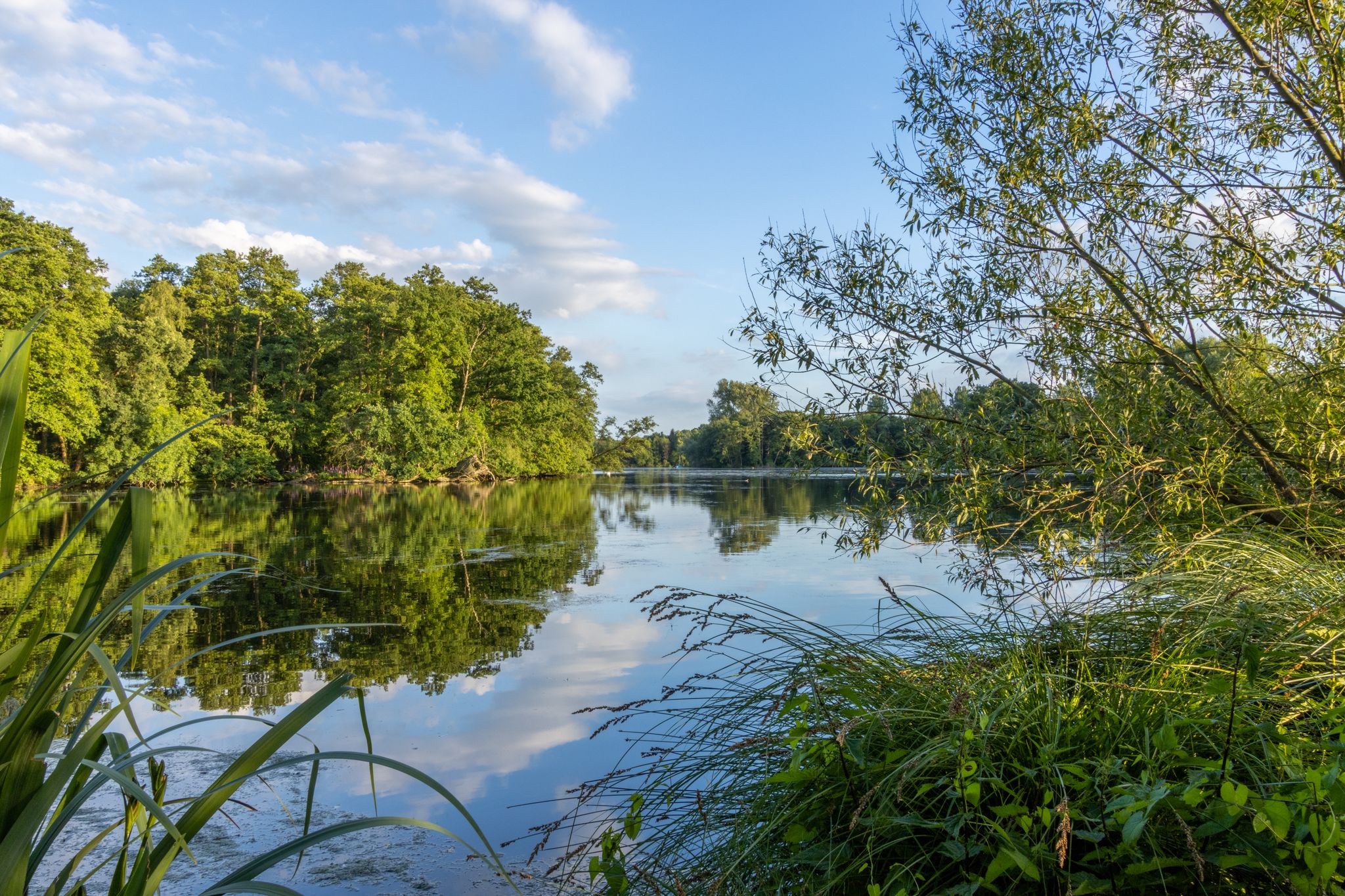
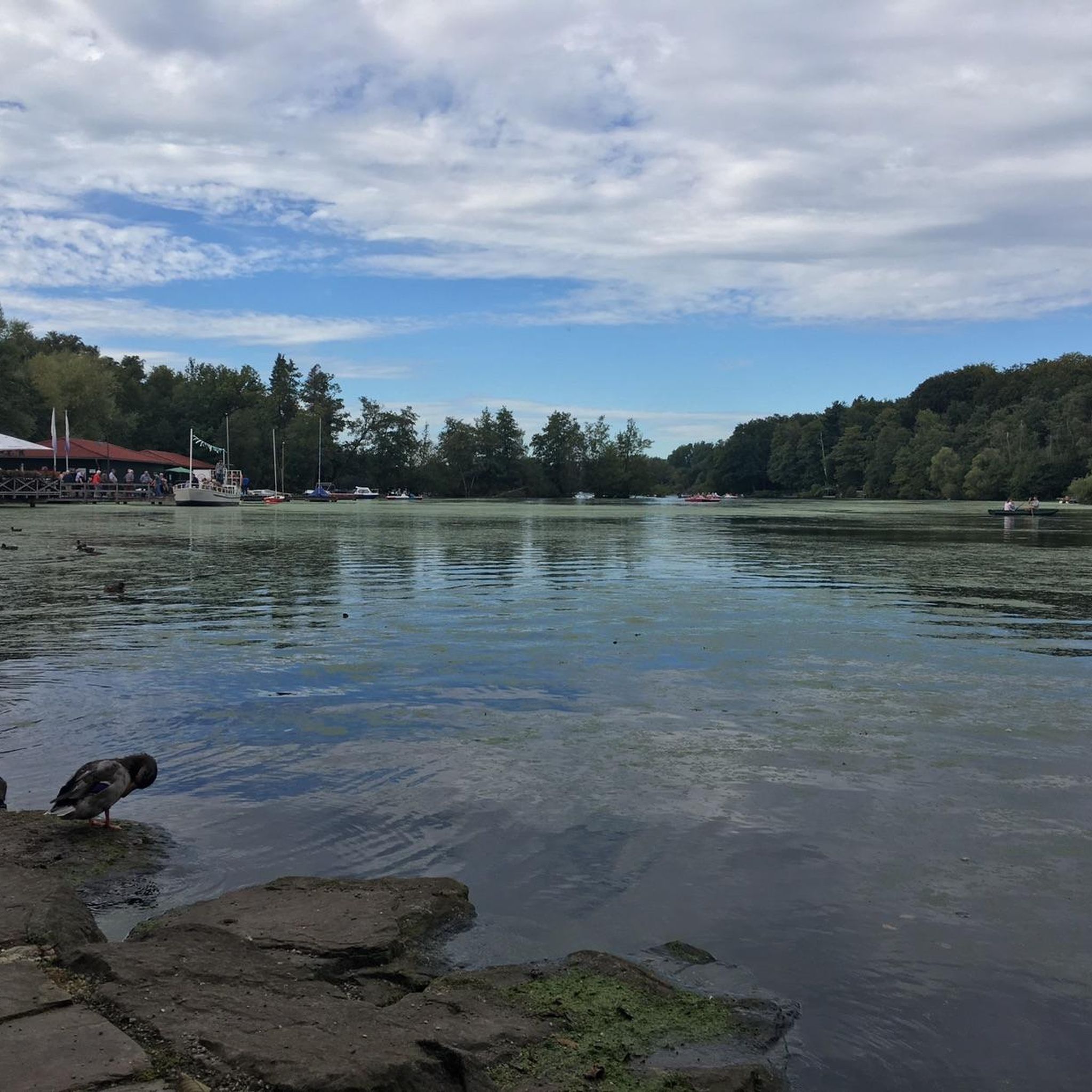
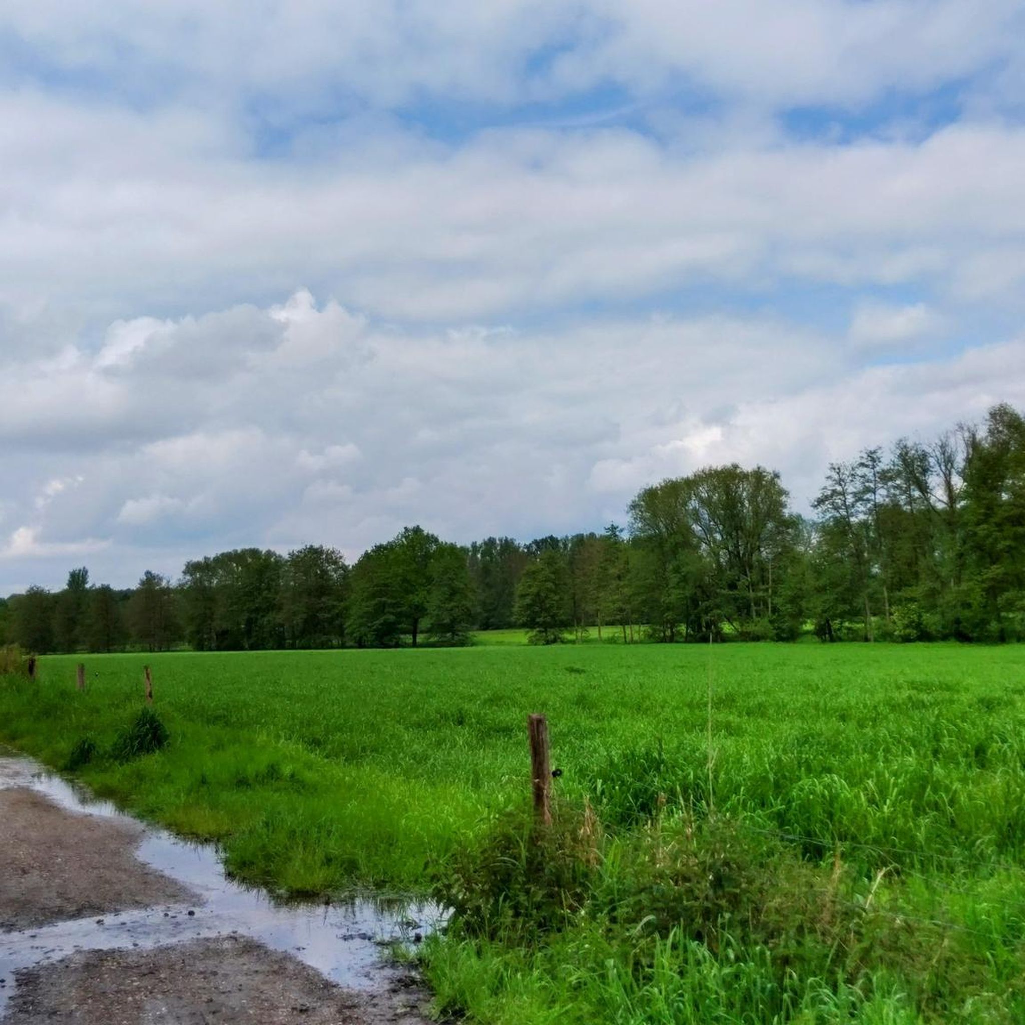
Hiking around Hariksee offers diverse landscapes, from the tranquil Hariksee Lake to the lush forests and meandering streams of Schwalmtal. The region features well-marked trails suitable for various fitness levels, including unique natural phenomena like the Wortelpassage with its exposed tree roots. This area, part of the Maas-Schwalm-Nette nature reserve, provides a mix of forest, marshland, and stream valleys, with gentle elevation changes.
Best hiking trails around Hariksee
- The most popular hiking route is Premium-Hiking Trail Two-Lake-Round - Water.Hike.World,…
Last updated: October 8, 2026
4.7
(639)
2,043
hikers
6.15km
01:34
20m
20m
Easy hike. Great for any fitness level. Easily-accessible paths. Suitable for all skill levels.
4.8
(503)
1,420
hikers
Moderate hike. Good fitness required. Easily-accessible paths. Suitable for all skill levels.

4.6
(234)
1,215
hikers
Easy hike. Great for any fitness level. Easily-accessible paths. Suitable for all skill levels.
4.2
(51)
164
hikers
10.8km
02:46
50m
50m
Moderate hike. Good fitness required. Easily-accessible paths. Suitable for all skill levels.
4.6
(48)
170
hikers
Moderate hike. Good fitness required. Easily-accessible paths. Suitable for all skill levels.
Get access to more routes and recommendations from other explorers.
Already have an account?
Our route recommendations are based on thousands of hikes, rides, and runs completed by other people on komoot.
Start today with a free account
Your next adventure awaits.

Other adventures around Hariksee

Tips from the Community

The Laarer Bach originates in the Dielsbruch nature reserve, east of the Mühlrather Mühle, immediately behind the municipal border in Schwalmtal territory.
0
0

Beautiful crossing over the Schwalm.
1
0

Small passage of the Swalm
2
0

Great region and not yet too crowded
0
0
Because the Schwalm riverbed is higher here than the surrounding meadows, the Laarer Bach drains this area on both sides of the Schwalm. Therefore, there are bridges over the Laarer Bach in several places.
7
0
The improvement and relocation of the Schwalm river has created a break here that is very well received by a wide variety of water birds.
10
0
Beautiful old town of Brugge. Germany
1
0

From the parking lot you look at the bridge
1
0
Frequently Asked Questions
How many hiking trails are available around Hariksee?
There are over 20 hiking trails around Hariksee, offering a variety of experiences. You'll find 15 easy routes, 5 moderate trails, and 1 more challenging option, ensuring there's something for every hiker.
What do other hikers enjoy most about the trails around Hariksee?
The Hariksee area is highly rated by the komoot community, with an average score of 4.5 stars from over 13,700 reviews. Hikers often praise the picturesque lake paths, dense forest trails, and unique natural features like the Wortelpassage. The well-marked paths and diverse landscapes, from riparian forests to bogs, are frequently highlighted.
When is the best time of year to hike around Hariksee?
The Hariksee area is enjoyable for hiking year-round. Each season offers a different visual experience, from vibrant spring greenery and blooming flowers to colorful autumn foliage. The tranquil waters and diverse landscapes provide scenic views regardless of the time of year.
What natural attractions can I discover while hiking around Hariksee?
Beyond the beautiful Hariksee (Harik Lake) itself, you can explore unique natural features like the "Tangle of roots" (Wortelpassage), where tree roots grow visibly above ground, forming a distinctive passageway. The area also features tranquil riparian forests, bogs, and stream valleys, and you might spot various waterfowl in the Waterfowl meadows in Naturpark Schwalm-Nette.
Are there any historical sites or landmarks to see on the trails?
Yes, the area around Hariksee is rich in history. You can visit the historical Mühlrather Mühle — Watermill and Restaurant, which dates back to 1447. Another notable landmark is the Little Island Castle at Hariksee, originally built in 1891, which now serves as an excursion restaurant directly on the lake.
Are there easy hiking trails suitable for beginners or casual walkers?
Absolutely. The Hariksee area is perfect for easy strolls. An excellent option is the Premium-Hiking Trail Two-Lake-Round - Water.Hike.World, an easy 6.2 km (3.8 miles) trail with no significant elevation gain, making it ideal for families and casual hikers. Another easy choice is the Tantelbruch Lake – Borner Lake loop from Mühlrather Mühle.
Can I find longer or more challenging hikes in the Hariksee area?
Yes, for those seeking a longer adventure, the The Schwalm at Borner Mill – Brüggen Mill loop from NSG Raderveekes und Lüttelforster Bruch is a challenging 19.8 km (12.3 miles) route. For a moderate, yet substantial hike, consider the Hariksee – Borner Lake loop from NSG Raderveekes und Lüttelforster Bruch, which covers 11.3 km (7.0 miles) and traverses natural reserve areas.
Are there circular hiking routes around Hariksee?
Many of the trails around Hariksee are circular, allowing you to start and end at the same point. The Premium-Hiking Trail Two-Lake-Round - Water.Hike.World is a popular circular option. Another great loop is the View of Brüggener Mill – Lake Harik loop from Mühlrather Mühle, which takes you through historical sites and along the lake.
Are the hiking trails around Hariksee dog-friendly?
Yes, the Hariksee area is generally dog-friendly, with many trails suitable for walks with your canine companion. The diverse landscapes, including forests and lake paths, provide an enjoyable experience for both you and your dog. Always keep your dog on a leash, especially in nature reserve areas, and be mindful of local regulations.
Are there family-friendly hiking options around Hariksee?
The Hariksee area offers several family-friendly hiking options. Trails like the Premium-Hiking Trail Two-Lake-Round - Water.Hike.World are relatively flat and accessible, making them suitable for children. There are also rest areas with benches and picnic tables along many trails, and amenities like a café and restrooms are available near the main trailhead.
Where can I find parking for hiking around Hariksee?
There are designated parking areas available for hikers visiting Hariksee. A common starting point with parking facilities is near the Mühlrather Mühle. Look for signs indicating "Wanderparkplatz Hariksee" or similar, which will direct you to suitable spots.
Are there places to eat or drink near the hiking trails?
Yes, you'll find several options for refreshments. The historical Mühlrather Mühle functions as a restaurant, and the Insel-Schlösschen is an excursion restaurant directly on the lake. Additionally, Notre's Restaurant & Lakeside Terrace on Lake Hariksee offers dining with scenic views. A café is also available near the main Hariksee trailhead.
Is swimming allowed in Hariksee?
While Hariksee is a beautiful lake, it is primarily a local recreation area for boating and hiking. Swimming is generally not permitted in Hariksee due to its designation as a nature reserve and for environmental protection. You can enjoy the lake by renting pedal boats, rowing boats, kayaks, or electric boats, or by taking a ride on the passenger ship "Patschel".
Most popular routes around Hariksee
Most popular attractions around Hariksee

Get inspired with the komoot mobile app


Explore more
Browse the best Hikes in other regions.
