Easy hikes and walks around Hariksee
4.5
(15699)
55,124
hikers
20
hikes
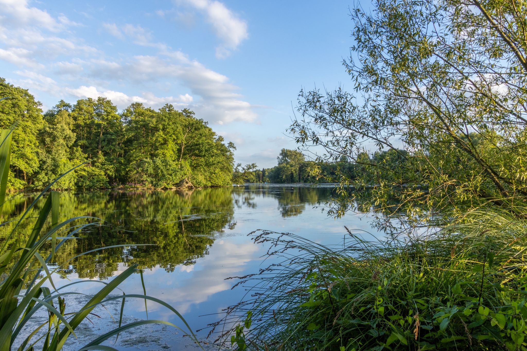
Easy hiking trails around Hariksee are characterized by diverse landscapes within the Maas-Schwalm-Nette nature reserve. The region features serene lake paths around Hariksee and Borner Lake, dense forests, and winding river valleys of the Schwalm. Notable natural features include the Wortelpassage, where tree roots grow visibly above ground due to the unique soil conditions. The terrain is generally flat, with minimal elevation changes, making it suitable for easy walks.
Best easy hiking trails around Hariksee
- The most popular easy hiking…
Last updated: October 4, 2026
4.7
(639)
2,043
hikers
6.15km
01:34
20m
20m
Easy hike. Great for any fitness level. Easily-accessible paths. Suitable for all skill levels.
4.6
(234)
1,215
hikers
Easy hike. Great for any fitness level. Easily-accessible paths. Suitable for all skill levels.

4.7
(35)
127
hikers
5.82km
01:30
20m
20m
Easy hike. Great for any fitness level. Easily-accessible paths. Suitable for all skill levels.
4.7
(15)
65
hikers
Easy hike. Great for any fitness level. Easily-accessible paths. Suitable for all skill levels.
4.7
(31)
157
hikers
Easy hike. Great for any fitness level. Easily-accessible paths. Suitable for all skill levels.
Get access to more routes and recommendations from other explorers.
Already have an account?
Our route recommendations are based on thousands of hikes, rides, and runs completed by other people on komoot.
Start today with a free account
Your next adventure awaits.
Popular around Hariksee
Other adventures around Hariksee

Tips from the Community

The Laarer Bach originates in the Dielsbruch nature reserve, east of the Mühlrather Mühle, immediately behind the municipal border in Schwalmtal territory.
0
0

Small passage of the Swalm
1
0

Great region and not yet too crowded
0
0

Because the Schwalm riverbed is higher here than the surrounding meadows, the Laarer Bach drains this area on both sides of the Schwalm. Therefore, there are bridges over the Laarer Bach in several places.
7
0

At the Laarer Bruch between meadows, moors, and streams. Especially beautiful in the morning, peaceful and pure nature.
2
0
Beautiful little lake
0
0

You can take a lovely walk along the Swalm here and enjoy the view
0
0

Frequently Asked Questions
How many easy hiking trails are available around Hariksee?
There are 15 easy hiking trails around Hariksee, offering diverse landscapes within the Maas-Schwalm-Nette nature reserve. These routes are generally flat with minimal elevation changes, making them suitable for a relaxed outdoor experience.
What kind of terrain will I encounter on easy hikes around Hariksee?
The easy hikes around Hariksee feature a mix of serene lake paths, dense forests, and winding river valleys, particularly along the Schwalm river. The terrain is predominantly flat, ensuring a comfortable walk for all skill levels.
Are there any unique natural features to see on these trails?
Yes, a notable natural attraction is the Wortelpassage (or Wurzelpassage), a unique forest path where tree roots grow visibly above ground, creating an almost fairytale-like passageway. You can find this feature mentioned in the highlights around Hariksee, such as Tangle of roots.
Are the easy hiking trails around Hariksee suitable for families with children?
Absolutely. Many paths are easily accessible and suitable for all skill levels, including families. The relatively short distances and flat terrain of routes like the Hariksee – Hariksee (Harik Lake) loop from NSG Raderveekes und Lüttelforster Bruch make them ideal for a family outing.
Can I bring my dog on the easy hiking trails?
While the region is part of a nature reserve, dogs are generally welcome on the trails, usually on a leash. The varied landscapes provide plenty of interesting sights and smells for your canine companion. Always ensure to follow local regulations regarding pets in nature areas.
Are there any circular routes among the easy hikes?
Yes, many of the easy trails are circular, allowing you to start and end at the same point. A popular option is the Premium-Hiking Trail Two-Lake-Round - Water.Hike.World, which offers scenic views of Hariksee and Borner Lake.
What historical landmarks or points of interest can I find along the easy trails?
Beyond natural beauty, you can encounter historical landmarks such as the Mühlrather Mühle — Watermill and Restaurant, and other old mills and farmhouses dating back to the 18th century, adding a cultural dimension to your hike.
Where can I park when visiting the Hariksee area for a hike?
There are several parking options available near the Hariksee trails. Many routes, such as the Tantelbruch Lake – Borner Lake loop from Mühlrather Mühle, often start from areas with designated parking, making access convenient for hikers.
Are there places to eat or get refreshments near the trails?
Yes, you'll find amenities such as a café and restrooms near the main Hariksee trailhead. Additionally, places like Notre's Restaurant & Lakeside Terrace on Lake Hariksee offer dining options right by the lake.
What do other hikers enjoy most about the easy trails around Hariksee?
The area is highly rated by the komoot community, with an average score of 4.5 stars from over 1400 reviews. Hikers often praise the serene lake views, the peaceful forest paths, and the well-maintained trails that make for an enjoyable and accessible outdoor experience.
How long do easy hikes around Hariksee typically take?
Most easy hikes around Hariksee are designed for shorter durations. For example, the The Schwalm at Borner Mill – Borner Lake loop from Mühlrather Mühle, which is 6.0 km, can be completed in about 1 hour 31 minutes, making them perfect for a leisurely stroll.
Is public transport an option to reach the Hariksee hiking areas?
While specific public transport routes vary, the Hariksee area is generally accessible. It's advisable to check local bus schedules for connections to nearby towns or direct stops close to the nature reserve, especially if you plan to start your hike without a car.
What is the best time of year to experience the easy hikes around Hariksee?
The trails around Hariksee are accessible year-round, with each season offering a different experience. Spring and summer bring vibrant greenery, autumn showcases colorful foliage, and winter can transform the landscape into a magical snowy scene. The generally mild terrain makes it enjoyable in any season.
Most popular routes around Hariksee
Most popular attractions around Hariksee

Get inspired with the komoot mobile app


Explore more
Browse the best Hikes in other regions.
