Top 20 Natural Monuments around National Park Sudoeste Alentejano e Costa Vicentina
Best natural monuments around National Park Sudoeste Alentejano e Costa Vicentina offers a captivating stretch of Portugal's coastline, renowned for its well-preserved natural beauty and dramatic landscapes. This park spans over 100 kilometers, featuring imposing limestone cliffs, diverse beaches, and unique estuaries. It is a significant area for biodiversity, providing habitats for various species. The region's geological formations and coastal ecosystems make it a notable destination for nature exploration.
Best natural monuments around National Park Sudoeste Alentejano e Costa Vicentina
…Last updated: July 10, 2026
Cabo de São Vicente Lighthouse
Highlight • Monument
Showing Translation
Tip by

Amado Beach
Highlight • Beach
Translated by Google •
Tip by

Sign up now to discover places like this
Get recommendations on the best single tracks, peaks, & plenty of other exciting outdoor places.
Sign up for free
Pessegueiro Island Beach
Highlight • Beach
Translated by Google •
Tip by

Malhão Beach
Highlight • Beach
Translated by Google •
Tip by

Engardaceira Beach
Highlight • Beach
Translated by Google •
Tip by

Sign up for free to discover even more natural monuments around National Park Sudoeste Alentejano e Costa Vicentina.
Sign up for free
Already have an account?
Start today with a free account
Your next adventure awaits.
Login or Signup
Popular around National Park Sudoeste Alentejano e Costa Vicentina
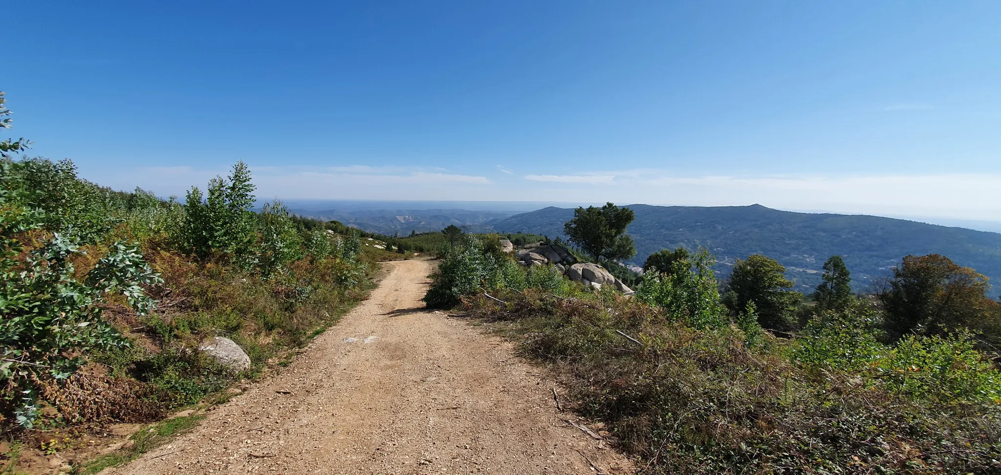
Via Algarviana (GR 13) - hidden corners of the south
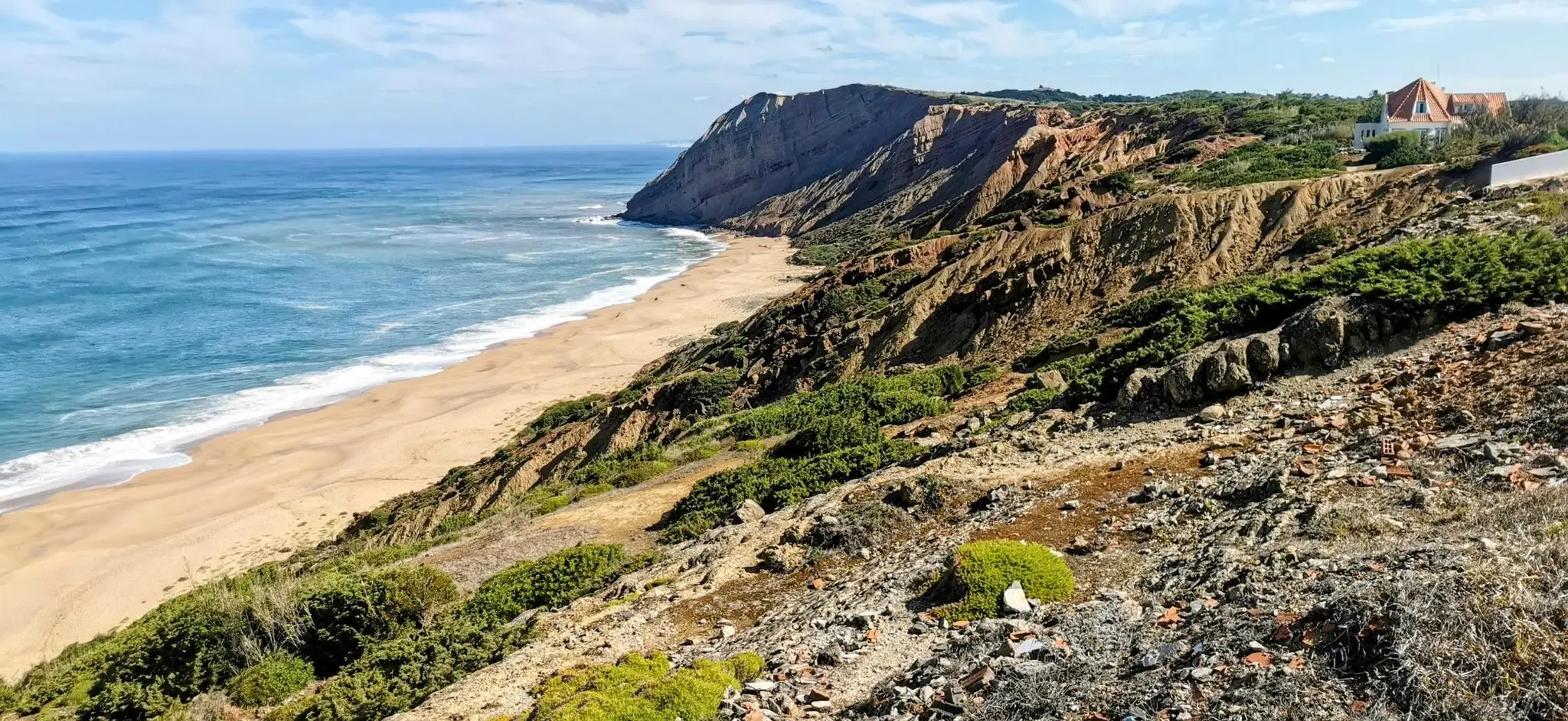
EuroVelo 1 Portugal – Cycle the Atlantic Coast
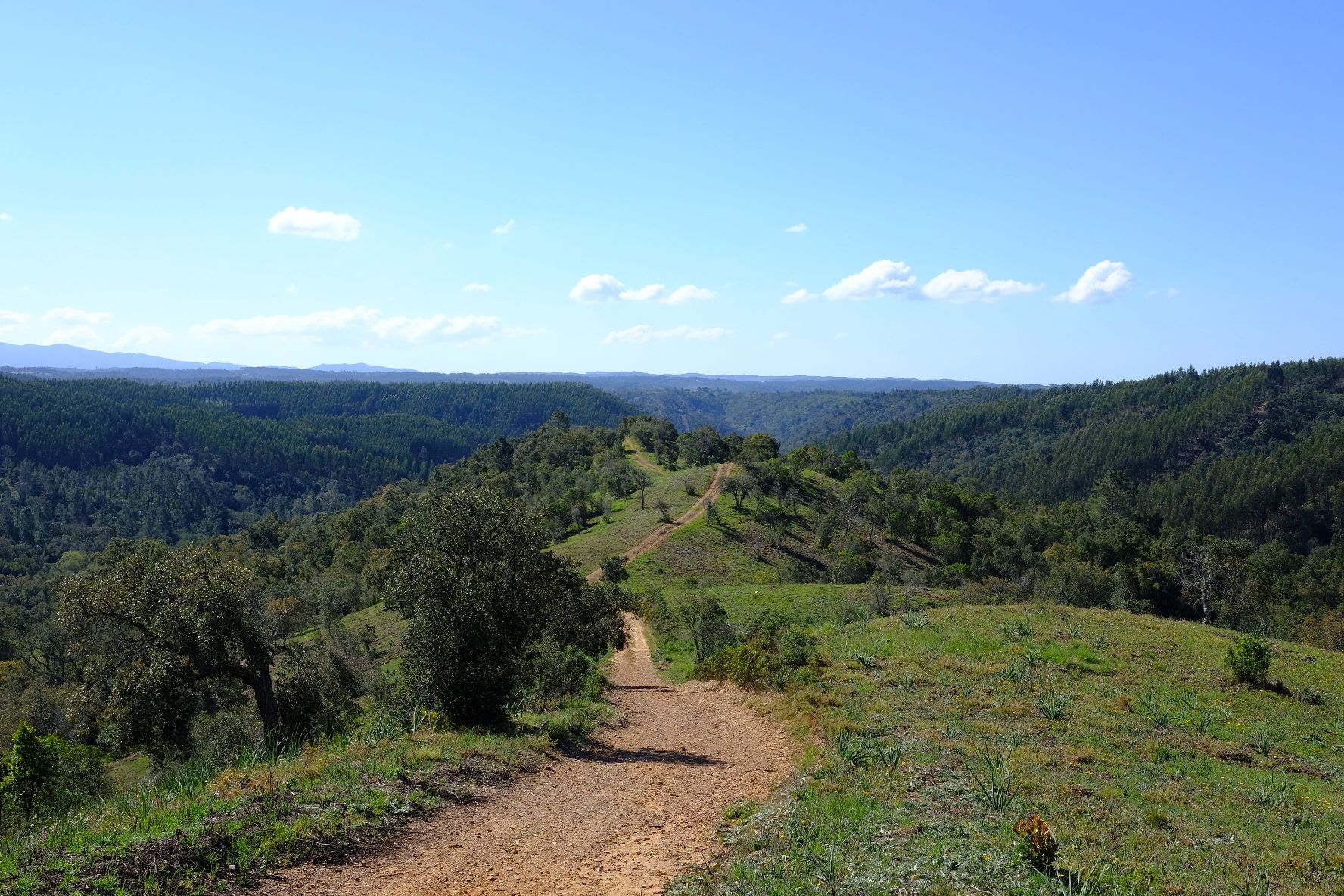
Caminho Histórico – Discover Portugal's beauty and history
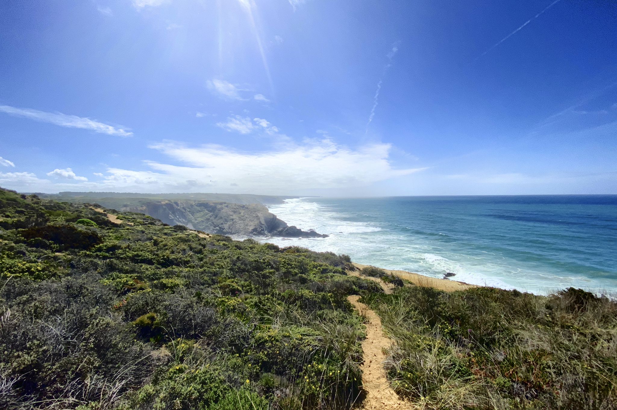
Trilho dos Pescadores – Portugal's Fishermen's Trail
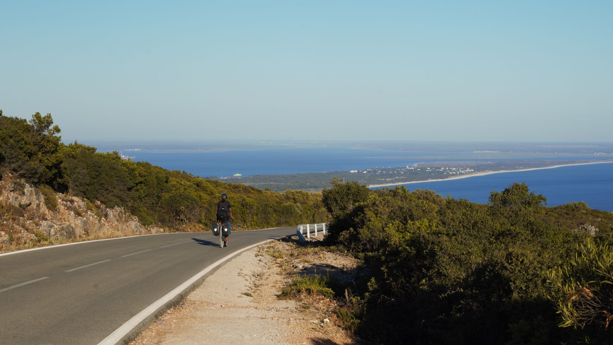
The breaking waves – cycle along the Atlantic coast of Portugal

Road to Lisbon – bikepacking the Alps, Pyrenees and Picos de Europa
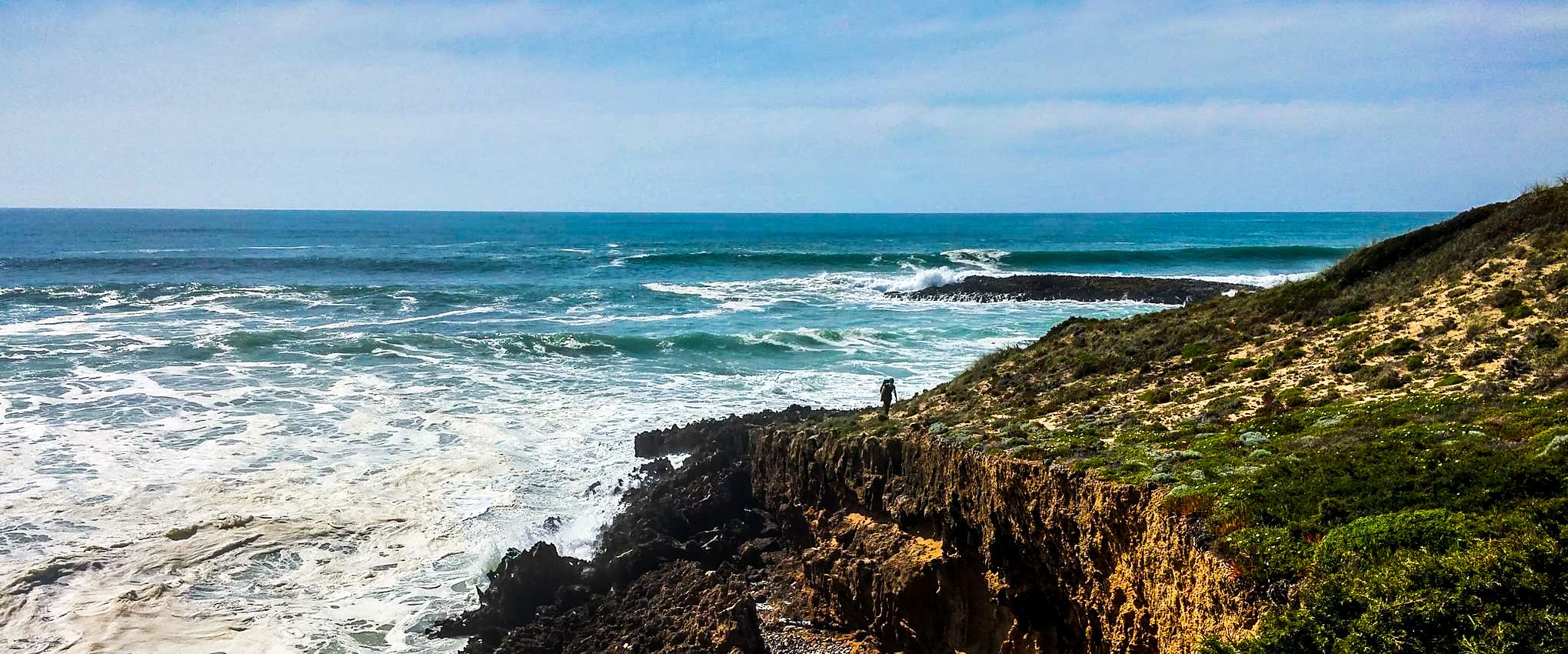
Fishermen's Trail – Discover Portugal's Atlantic Coast
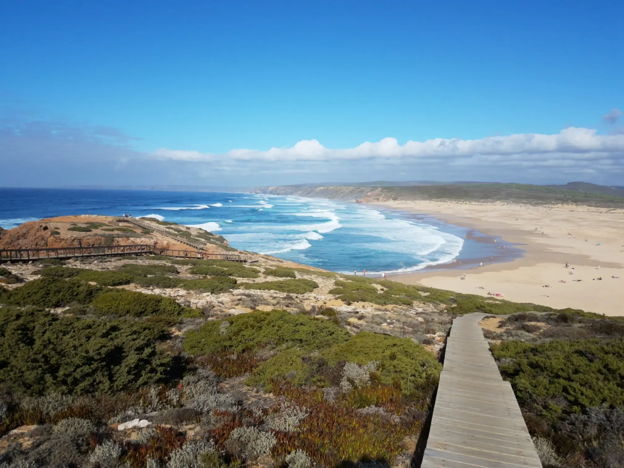
Lisbon to Santo António – The Atlantic Coast of Portugal (south)
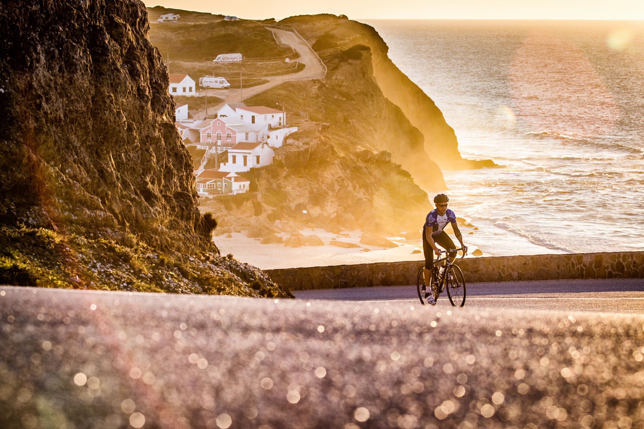
Sun, cliffs and endless roads in the Algarve
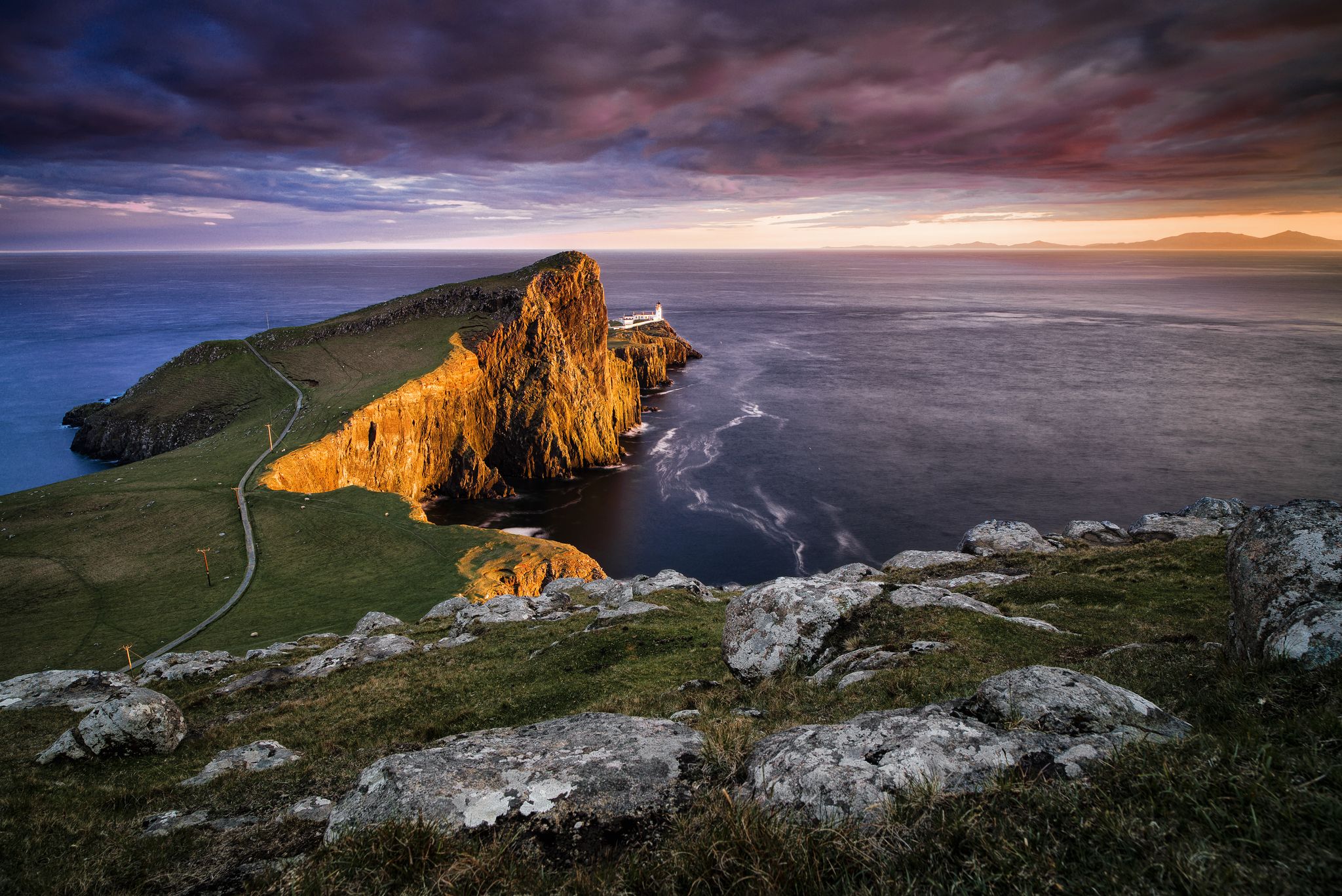
Epic sunset spots in Western Europe
Other adventures around National Park Sudoeste Alentejano e Costa Vicentina


Tips from the Community

Five kilometers from Sagres rises the mythical Cabo de São Vicente, the last gaze of land for explorers setting off towards the unknown of the vast ocean. Wild, windy, and imposing, this promontory of steep cliffs plunges into the Atlantic, crowned by one of Europe's most powerful lighthouses. Called by the Romans Promontorium Sacrum, the "end of the world" was for centuries a sacred place, shrouded in legends and mysteries. Today, it remains a pilgrimage point for sailors, hikers, and dreamers, where the horizon seems to dissolve into infinity.
2
0

Gorgeous bay on the Fisherman's Trail. Strenuous but incredibly rewarding trails in beautiful Portugal 🇵🇹👣
1
1

Pessegueiro Island The Romans constructed the first buildings on the island in the mid-1st century. The Roman ruins at the southern tip of the island were excavated between 1980 and 1984. Rectangular buildings, some with two or more interior rooms, and two circular floor plans are evident. A bread oven and a metal melting furnace are recognizable by the holes in the rammed earth floor. Fish processing basins, as well as a bathing facility, date from the 3rd or 4th century.
3
0

The beach is part of the Fisherman's Path, which begins not far from here. Early in the morning in May, a seemingly endless line of hikers moves across the beach.
2
0

Wonderful view of the bay. Lots of great views along the beautiful Rota Vincenta.
1
1

The Praia do Malhão is wide open sandy beach just over 5km to the north of Vila Nova de Milfontes. Set within the Southwest Alentejo Natural Park development here is prohibited so this is as wild and unspoiled beach as you will find on this coast. This beach will appeal to beachgoers seeking a relatively remote spot with plenty of empty space not those expecting all the facilities close at hand. There are no cafes, lifeguards or sun-loungers here, just endless sand. What you will often find here are a handful fishermen and towards the northern end of the beach a few naturists. Exposed to the full power of the Atlantic waves Praia do Malhão is also a popular spot with surfers given the right conditions. The southern end of Praia do Malhão becomes separated towards high tide by a rock formation known as the Galés, in fact this beach is sometimes called Praia das Galés. Here the sand dunes give way to gently sloping cliffs giving the beach a different character and some protection from the breeze.
3
1
Pessegueiro Island Beach is located opposite the island that gives it its name, where there are traces of a very ancient occupation, such as the fish salting factory from Roman times, which is thought to be the origin of its name, derived from the Latin "piscatorius". During the summer, several boats offer tours of the island, crossing the channel that was used as a safe haven by the Romans and Carthaginians and which today offers excellent conditions for water sports such as windsurfing, canoeing and diving.
9
1

Beautiful beach below the fort, ideal for watching the roaring sea & taking great photos.
9
2
Frequently Asked Questions
What unique natural features can I expect to see in the Southwest Alentejo and Vicentine Coast Natural Park?
The park is renowned for its dramatic limestone cliffs, which are the only place in the world where white storks build their nests on seashore rocks. You can also observe the unique ecosystem of the Mira River Estuary, one of the few places in Europe where marine otters can be found. The coastline also features diverse beaches and rock formations.
Are there family-friendly natural monuments to visit in the National Park Sudoeste Alentejano e Costa Vicentina?
Yes, several natural monuments are suitable for families. Amado Beach is a great option, known for its wide sands and surfing schools. Pessegueiro Island Beach offers boat tours to the historic island and calm waters for various water sports. The area around Cabo de São Vicente Lighthouse also provides expansive views that can be enjoyed by all ages.
What kind of historical significance do some of these natural monuments hold?
The region has a rich history. Cabo de São Vicente Lighthouse, for instance, is located on what was historically known as Promontorium Sacrum, the 'end of the world' for millennia. Pessegueiro Island Beach is opposite Pessegueiro Island, which has traces of Roman occupation, including a fish salting factory, and features a 16th-century fort built to protect against piracy.
What outdoor activities can I do near the natural monuments in the National Park Sudoeste Alentejano e Costa Vicentina?
The park offers a wide range of outdoor activities. You can explore numerous hiking trails, such as the moderate 'Pontal da Carrapateira — circular route in Costa Vicentina' or 'Praias do Amado e Murração — circular route in Costa Vicentina'. For cycling enthusiasts, there are gravel biking routes like 'Milfontes – Costa Vicentina Natural Park' and MTB trails, including those around Cabo de São Vicente Lighthouse. You can find more details on these activities in the hiking, gravel biking, and MTB guides for the region.
What is the best time of year to visit the natural monuments in the Southwest Alentejo and Vicentine Coast Natural Park?
The park is beautiful year-round, but spring (April-May) and early autumn (September-October) offer pleasant temperatures for hiking and exploring, with fewer crowds than the peak summer months. These periods are also excellent for birdwatching, as migratory species pass through. Summer is ideal for beach activities, though it can be busier.
Are there any natural monuments particularly known for surfing?
Yes, the park is famous for its excellent surfing conditions. Amado Beach is a well-known surfing spot, even featuring a surfing school. Other beaches like Praia da Bordeira and Praia do Amado are also popular among surfers due to their exposure to the Atlantic waves.
What do visitors enjoy most about the natural monuments in this region?
Visitors frequently praise the wild, unspoiled nature and dramatic landscapes. The breathtaking sunsets, especially from viewpoints like Cabo de São Vicente Lighthouse, are a highlight. Many appreciate the diverse beaches, from the wide open sands of Malhão Beach to the secluded bays like Engardaceira Beach, and the unique wildlife spotting opportunities.
Is it possible to find food and drink near the natural monuments?
Yes, some natural monuments have facilities nearby. For example, Cabo de São Vicente Lighthouse has a cafe and even a bratwurst stand in its parking area. Amado Beach also has a cafe. In general, towns and villages within or near the park, such as Sagres, Vila Nova de Milfontes, and Porto Covo, offer various cafes, restaurants, and accommodation options.
Are there any specific regulations or permits required to visit the natural monuments or hike in the park?
The Southwest Alentejo and Vicentine Coast Natural Park is a protected area, meaning development is restricted to preserve its natural state. While general access to most natural monuments and trails is free and does not require specific permits for individual visitors, it's always advisable to respect local signage, stay on marked paths, and be mindful of wildlife. For specific activities or larger groups, checking with local authorities or park information centers is recommended. More information about the park can be found on the Visit Portugal website.
Can I find any hidden or less-known natural monuments in the park?
While the main highlights are well-known, the vastness of the park means there are many secluded spots. Beaches like Malhão Beach are described as wild and unspoiled due to development restrictions, offering a more remote experience. Exploring the numerous small coves and less accessible cliff paths along the Rota Vicentina can lead to discovering your own hidden gems, away from the more popular tourist spots.
Are there opportunities for wildlife spotting around the natural monuments?
Absolutely. The park is a haven for wildlife. The coastal cliffs are unique for being the only place where white storks nest on seashore rocks, and they also host peregrine falcons and red-billed choughs. The Mira River Estuary is particularly notable for its diverse ecosystem, including various bird species and the rare marine otter. Exploring the diverse habitats offers excellent chances for observing local fauna.
What are the typical terrain and difficulty levels of hiking trails near these natural monuments?
Hiking trails in the park, such as those along the Rota Vicentina, often feature varied terrain including coastal paths, sandy sections, and sometimes rocky or uneven ground along the cliffs. Difficulty levels range from easy walks suitable for families to more challenging routes with significant elevation changes. Many trails are considered moderate, like the 'From Sagres to Cabo de São Vicente — route on the Costa Vicentina', offering a good balance of scenic views and physical activity.
Most popular routes around National Park Sudoeste Alentejano e Costa Vicentina
Most popular attractions around National Park Sudoeste Alentejano e Costa Vicentina

Get inspired with the komoot mobile app


Explore more
Extend your search for the best caves by checking out these guides of the top ones around National Park Sudoeste Alentejano e Costa Vicentina:
