The best road cycling routes around National Park Sudoeste Alentejano e Costa Vicentina
4.3
(214)
5,474
riders
81
rides
Road cycling routes around National Park Sudoeste Alentejano e Costa Vicentina traverse a diverse and well-preserved coastal landscape in Portugal. The region is characterized by towering cliffs, hidden coves, and a mix of sandy beaches and rugged shores. Cyclists will encounter undulating dunes, river estuaries, and marshy plains, offering varied terrain for exploration. The network of roads provides access to both coastal views and inland areas with rich biodiversity.
Best road cycling routes around National Park Sudoeste Alentejano e Costa Vicentina
- The most popular road cycling route is From Salema to Monte Ruivo — circular route, a 39.8 miles (64.0 km) trail that takes 3 hours to complete. This route offers a moderate challenge with significant elevation gain through varied coastal and inland scenery.
- Another top favourite among local road cyclists is From Salema to Cabo de São Vicente — circular gravel route, a moderate 30.9 miles (49.8 km) path. It leads to the southwesternmost point of mainland Europe, featuring a mix of paved and gravel sections with panoramic ocean views.
- Local road cyclists also love the Salema Beach – Lagos loop from Sagres, a 45.4 miles (73.0 km) trail leading through coastal towns and scenic landscapes, often completed in about 3 hours 35 minutes.
- Road cycling around National Park Sudoeste Alentejano e Costa Vicentina is defined by dramatic coastlines, river estuaries, and charming villages. The network offers options for different ability levels, from easy rides to more challenging routes with notable elevation gains.
- The routes in National Park Sudoeste Alentejano e Costa Vicentina are highly rated by the komoot community with an average score of 4.3 stars from over 100 reviews. More than 3000 road cyclists have used komoot to explore National Park Sudoeste Alentejano e Costa Vicentina's varied terrain.
Last updated: July 7, 2026
4.5
(8)
255
riders
64.0km
03:02
750m
760m
This moderate 39.8-mile (64.0 km) road cycling route from Salema to Monte Ruivo offers a challenging ride through a national park.
4.0
(7)
233
riders
49.8km
03:16
590m
590m
Moderate road ride. Good fitness required. Some segments of this route may be unpaved and difficult to ride.

Sign up for free
4.5
(19)
318
riders
73.1km
03:38
890m
890m
Moderate road ride. Good fitness required. Some segments of this route may be unpaved and difficult to ride.
4.0
(9)
277
riders
63.0km
02:44
600m
600m
Moderate road ride. Good fitness required. Some segments of this route may be unpaved and difficult to ride.
4.5
(8)
248
riders
85.2km
04:09
970m
970m
Hard road ride. Very good fitness required. Some segments of this route may be unpaved and difficult to ride.
Get access to more routes and recommendations from other explorers.
Sign up for free
Already have an account?
Our route recommendations are based on thousands of hikes, rides, and runs completed by other people on komoot.
Start today with a free account
Your next adventure awaits.
Login or Signup
Popular around National Park Sudoeste Alentejano e Costa Vicentina
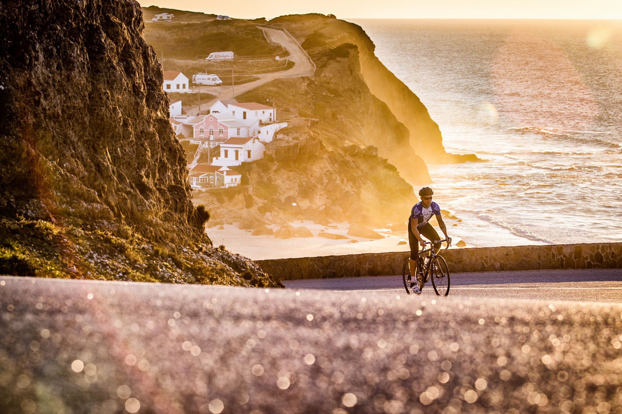
Sun, cliffs and endless roads in the Algarve
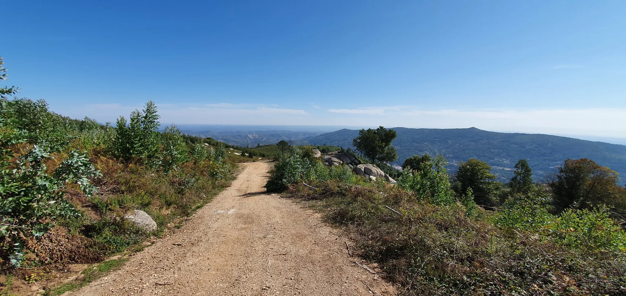
Via Algarviana (GR 13) - hidden corners of the south
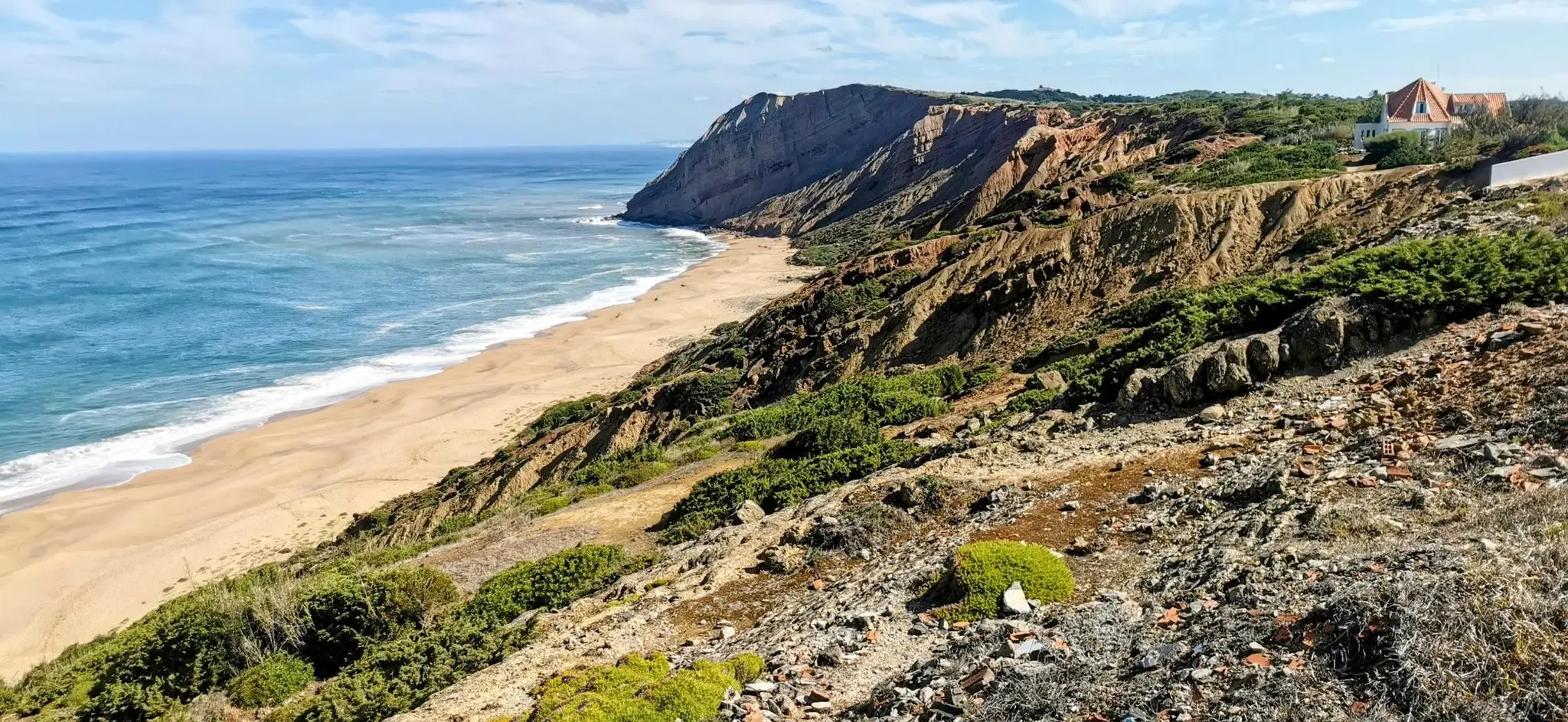
EuroVelo 1 Portugal – Cycle the Atlantic Coast
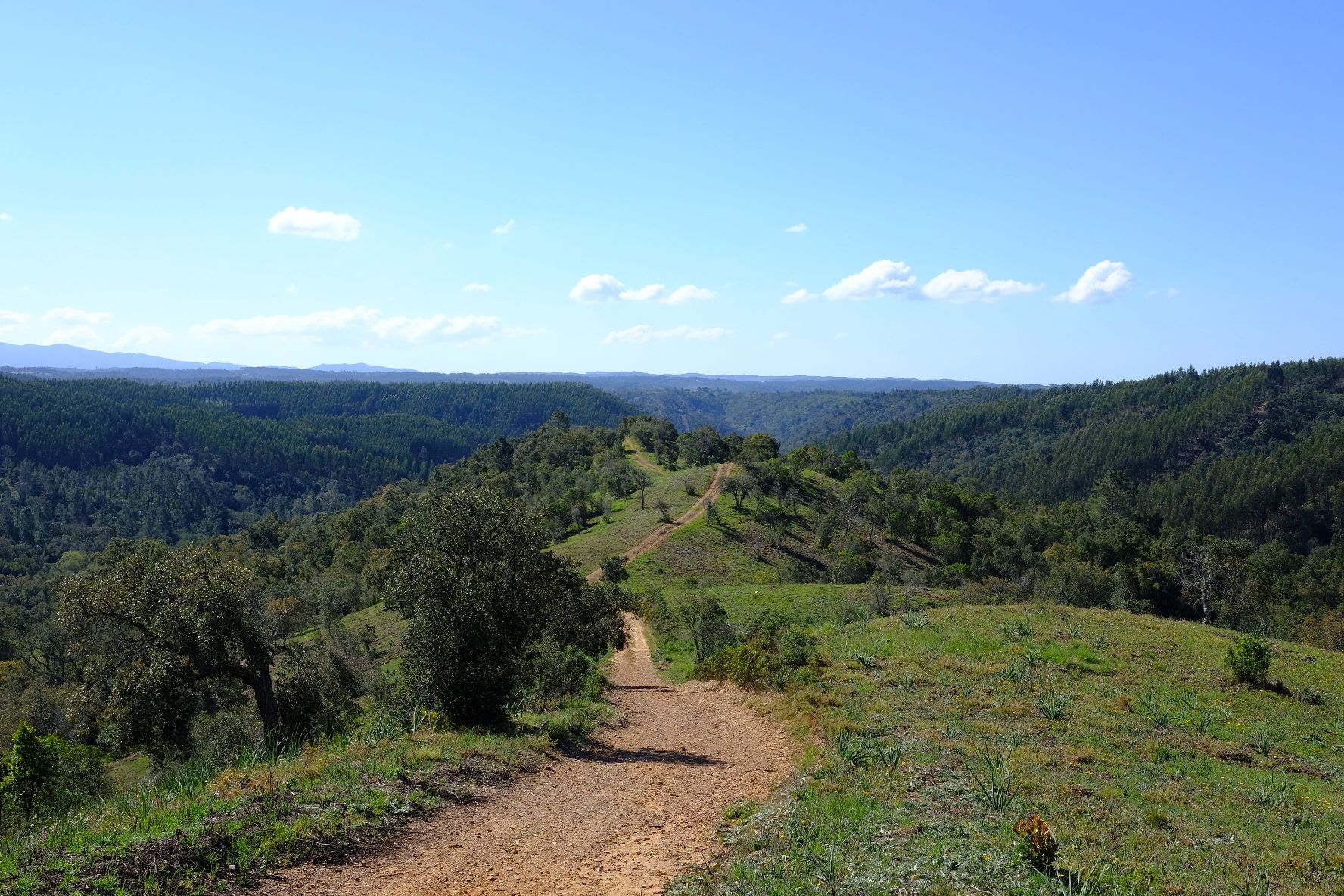
Caminho Histórico – Discover Portugal's beauty and history
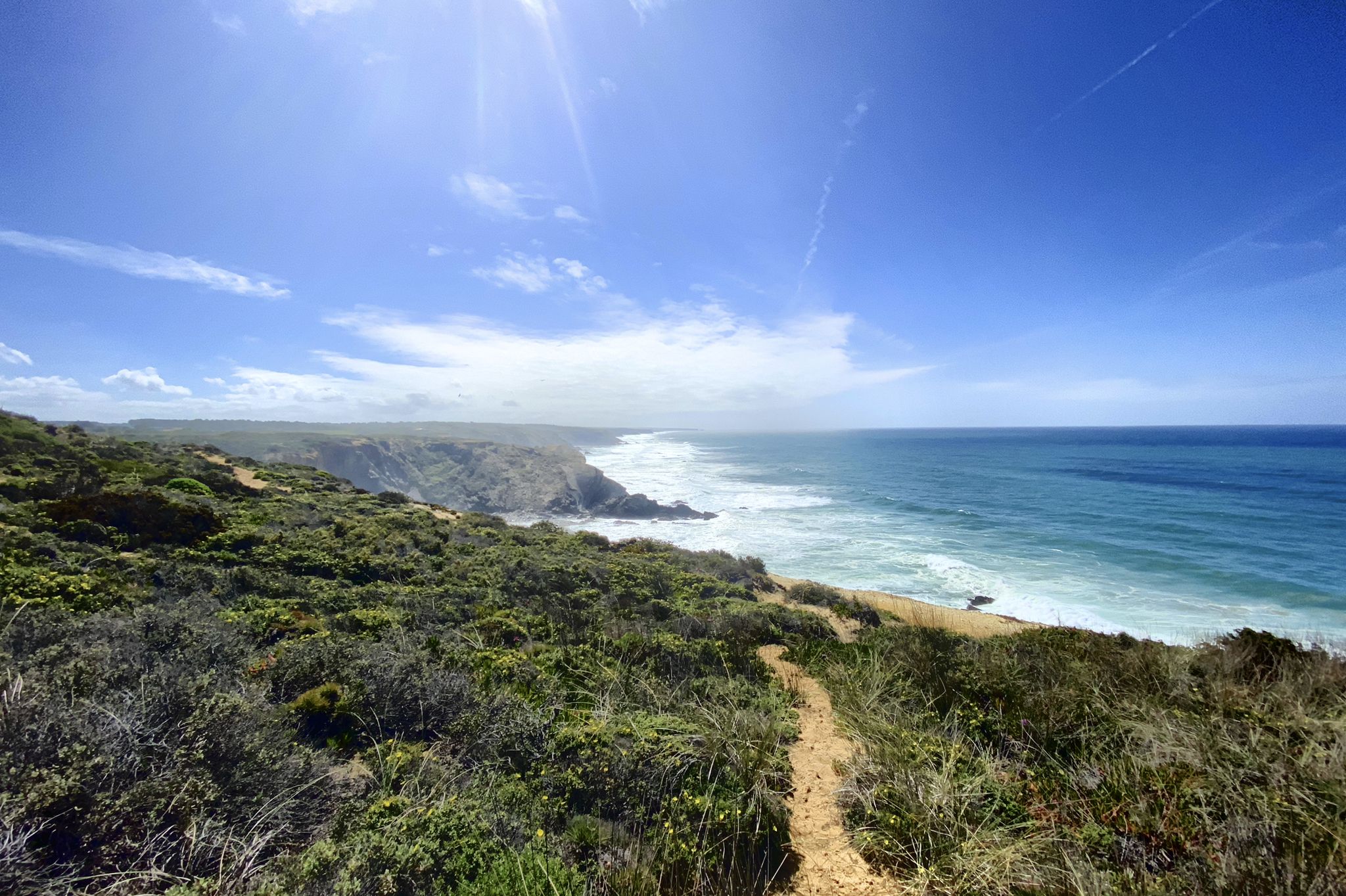
Trilho dos Pescadores – Portugal's Fishermen's Trail
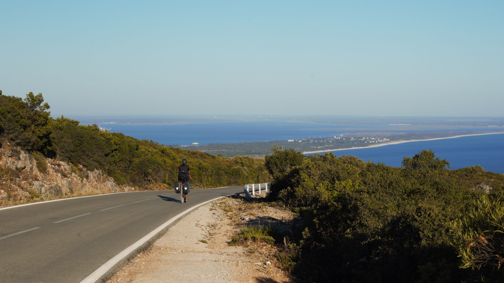
The breaking waves – cycle along the Atlantic coast of Portugal

Road to Lisbon – bikepacking the Alps, Pyrenees and Picos de Europa
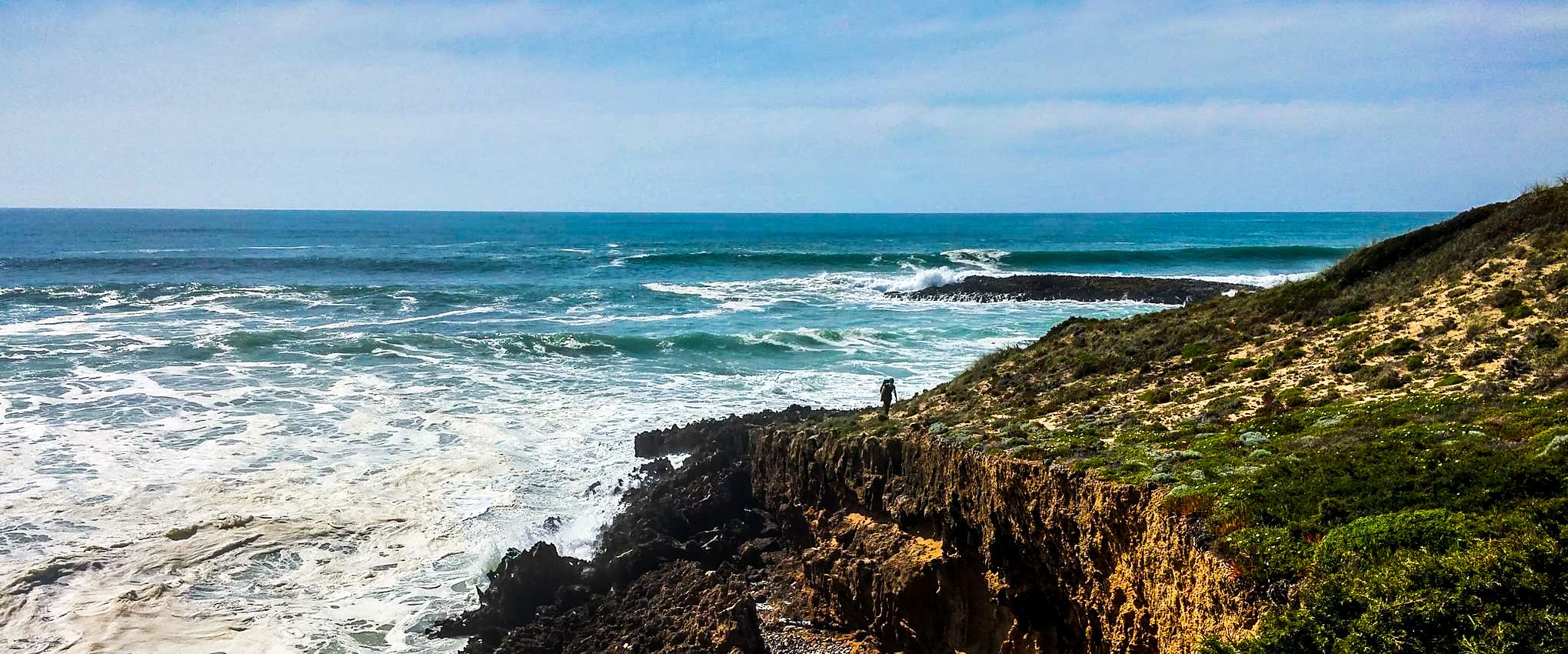
Fishermen's Trail – Discover Portugal's Atlantic Coast
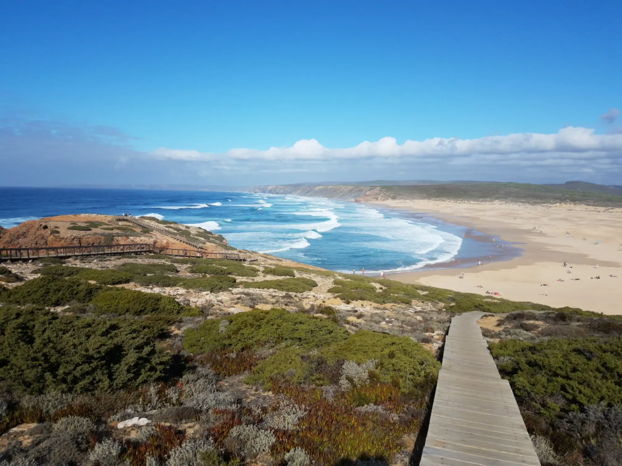
Lisbon to Santo António – The Atlantic Coast of Portugal (south)
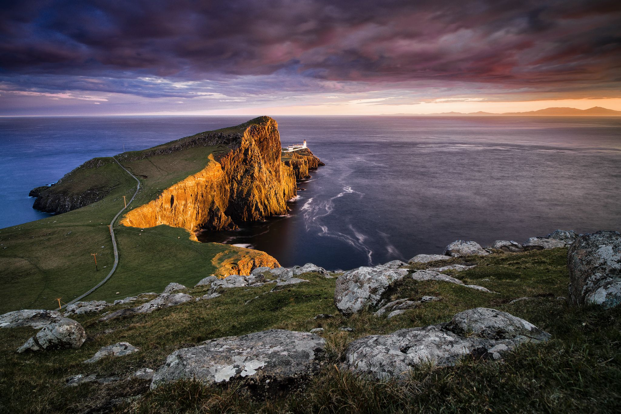
Epic sunset spots in Western Europe
Other adventures around National Park Sudoeste Alentejano e Costa Vicentina


Tips from the Community

You can watch the surfers nicely from the beach hut. Besides that, there was delicious food.
0
0

The parallel road from Vila do Bisbo to Sagres or vice versa is perfectly suitable for cycling with luggage. It's paved with the usual rough patches.
0
0
Very nice descent towards Bensafrim with excellent asphalt.
0
0

Five kilometers from Sagres rises the mythical Cabo de São Vicente, the last gaze of land for explorers setting off towards the unknown of the vast ocean. Wild, windy, and imposing, this promontory of steep cliffs plunges into the Atlantic, crowned by one of Europe's most powerful lighthouses. Called by the Romans Promontorium Sacrum, the "end of the world" was for centuries a sacred place, shrouded in legends and mysteries. Today, it remains a pilgrimage point for sailors, hikers, and dreamers, where the horizon seems to dissolve into infinity.
2
0
The windmills no longer turn in Vila do Bispo, once the breadbasket of the Algarve, but the charm remains. The white houses descend gently down the hill crowned by the church tower, and the narrow streets hold the soul of the old Algarve: whitewashed facades, colorful frames, stone doors, and shadows that alleviate the heat. Today, this welcoming village is a meeting point for major trails (the Fisherman's Trail, the Historical Way, and the Via Algarviana) and for travelers who find here rest, good food, and open-hearted people.
4
0

Superb landscapes
9
0
Very beautiful landscapes
9
0

Praia da Salema is a picturesque beach in the fishing village of Salema, on the southwest coast of the Algarve. The beach is quiet, with fine sand and clear water, nestled between cliffs with fossils and even visible dinosaur tracks. It's ideal for families and those who want to avoid the crowds, with several restaurants and amenities nearby.
3
0
Frequently Asked Questions
How many road cycling routes are available in the National Park Sudoeste Alentejano e Costa Vicentina?
There are over 80 road cycling routes in the National Park Sudoeste Alentejano e Costa Vicentina, catering to various skill levels. These routes traverse diverse landscapes, from coastal roads to inland areas.
What kind of terrain can I expect on road cycling routes in the National Park Sudoeste Alentejano e Costa Vicentina?
The region offers varied terrain, characterized by towering cliffs, undulating dunes, river estuaries, and marshy plains. While most routes are on well-paved surfaces, some, like the From Salema to Cabo de São Vicente — circular gravel route, include mixed sections with gravel, providing a diverse cycling experience.
Are there road cycling routes suitable for beginners or families?
Yes, the National Park Sudoeste Alentejano e Costa Vicentina offers routes suitable for different abilities. While specific family-friendly routes are not detailed, there are 10 easy routes available, which typically feature less elevation gain and shorter distances, making them more accessible for beginners or those cycling with family.
What are some challenging road cycling routes in the region?
For experienced cyclists seeking a challenge, the region offers 23 difficult routes. An example is the Road to Vila do Bispo – Lagos loop from Arrifana, which covers 84.5 km with significant elevation gain, providing a demanding ride through scenic landscapes.
Can I find circular road cycling routes in the National Park Sudoeste Alentejano e Costa Vicentina?
Yes, many routes in the region are circular, allowing you to start and end in the same location. Popular options include the From Salema to Monte Ruivo — circular route (64 km) and the From Salema to Cabo de São Vicente — circular gravel route (49.8 km).
What natural attractions or landmarks can I see while road cycling?
The routes offer access to stunning natural beauty and historical sites. You can cycle past dramatic coastlines, hidden coves, and picturesque beaches like Amado Beach and Malhão Beach. Don't miss the iconic Cabo de São Vicente Lighthouse, the southwesternmost point of mainland Europe, or the historic Sagres Promontory.
Are there opportunities for wildlife spotting along the routes?
Yes, the park is rich in biodiversity. Cyclists may spot various bird species, including rare fishing eagles and white storks nesting in seashore rocks. The Mira River estuary is a particularly good spot for birdwatching, and the park is one of the last places in Europe where otters can be found in a marine habitat.
What is the best time of year for road cycling in the National Park Sudoeste Alentejano e Costa Vicentina?
Spring and autumn are generally considered the best times for road cycling. During spring, coastal trails are vibrant with wildflowers, and the weather is pleasant. Autumn also offers mild temperatures, ideal for longer rides. Summers can be hot, especially inland, while winters are generally mild but can bring more rain.
Are there any charming towns or villages to visit along the road cycling routes?
Absolutely. The routes often pass through charming towns and villages. You can explore the traditional whitewashed houses of Porto Covo, the colorful buildings of Vila Nova de Milfontes, or the relaxed surf village of Aljezur with its ancient fort. These towns offer opportunities for breaks and refreshments.
What do other road cyclists enjoy the most about road cycling in the National Park Sudoeste Alentejano e Costa Vicentina?
The area is highly rated by the komoot community, with an average score of 4.3 stars from over 100 reviews. Reviewers often praise the dramatic coastlines, the varied terrain, and the opportunities to explore charming villages and natural landmarks. The well-maintained roads and stunning scenery are frequently highlighted.
Is public transport available to access road cycling routes in the region?
While specific public transport options directly to trailheads for cyclists can be limited, regional bus services connect major towns within and around the National Park Sudoeste Alentejano e Costa Vicentina. It's advisable to check local bus schedules and policies regarding bicycle transport in advance.
Are there any caves or unique geological features to explore near the cycling routes?
Yes, the dramatic coastline is home to several fascinating caves. You can find highlights such as Beach Caves, Muração Beach Caves, and the Sea Spray Cave (Gischt Cave). These geological formations add another layer of interest to the region's natural beauty.
Most popular routes around National Park Sudoeste Alentejano e Costa Vicentina
Most popular attractions around National Park Sudoeste Alentejano e Costa Vicentina

Get inspired with the komoot mobile app


Explore more
Browse the best Road cycling routes in other regions.
