The best walks and hikes around National Park Sudoeste Alentejano e Costa Vicentina
4.4
(10642)
51,947
hikers
698
hikes
Hiking around National Park Sudoeste Alentejano e Costa Vicentina features a well-preserved European coastline with diverse landscapes. The terrain includes rugged coastal cliffs, undulating dunes, river estuaries, and scrubland. Inland, forests and hills rise towards the Serra de Espinhaço de Cão, offering varied topographical features for hikers. The park spans over 100 km, providing extensive opportunities for coastal and inland exploration.
Best hiking trails around National Park Sudoeste Alentejano e Costa Vicentina
- The most popular hiking route is Pontal da Carrapateira — circular route in Costa Vicentina, a 6.6 miles (10.6 km) trail that takes 2 hours 47 minutes to complete. This moderate route offers coastal views and passes through varied terrain.
- Another top favourite among local hikers is From Sagres to Cabo de São Vicente — route on the Costa Vicentina, a moderate 9.1 miles (14.7 km) path. This trail connects two significant landmarks along the coastline, offering expansive ocean vistas.
- Local hikers also love the Tunnel of Vegetation – Brejo Largo Beach loop from Furnas, a 13.9 miles (22.4 km) trail leading through coastal vegetation and towards secluded beaches, often completed in about 5 hours 51 minutes.
- Hiking around National Park Sudoeste Alentejano e Costa Vicentina is defined by rugged coastal cliffs, river estuaries, and diverse scrubland. The network offers options for different ability levels, from easy walks to more challenging treks.
- The routes in National Park Sudoeste Alentejano e Costa Vicentina are highly rated by the komoot community with an average score of 4.5 stars from over 9,000 reviews. More than 45,000 hikers have used komoot to explore National Park Sudoeste Alentejano e Costa Vicentina's varied terrain.
Last updated: July 7, 2026
4.7
(506)
1,996
hikers
10.6km
02:47
100m
100m
Moderate hike. Good fitness required. Easily-accessible paths. Suitable for all skill levels.
4.5
(240)
1,191
hikers
14.7km
03:57
180m
180m
Moderate hike. Good fitness required. Easily-accessible paths. Suitable for all skill levels.

Sign up for free
4.4
(114)
487
hikers
15.2km
04:02
150m
150m
Moderate hike. Good fitness required. Easily-accessible paths. Suitable for all skill levels.
4.7
(1157)
5,754
hikers
22.4km
05:53
160m
160m
Hard hike. Very good fitness required. Sure-footedness, sturdy shoes and alpine experience required.
4.8
(84)
345
hikers
7.68km
02:16
220m
220m
Moderate hike. Good fitness required. Mostly accessible paths. Sure-footedness required.
Get access to more routes and recommendations from other explorers.
Sign up for free
Already have an account?
Our route recommendations are based on thousands of hikes, rides, and runs completed by other people on komoot.
Start today with a free account
Your next adventure awaits.
Login or Signup
Popular around National Park Sudoeste Alentejano e Costa Vicentina
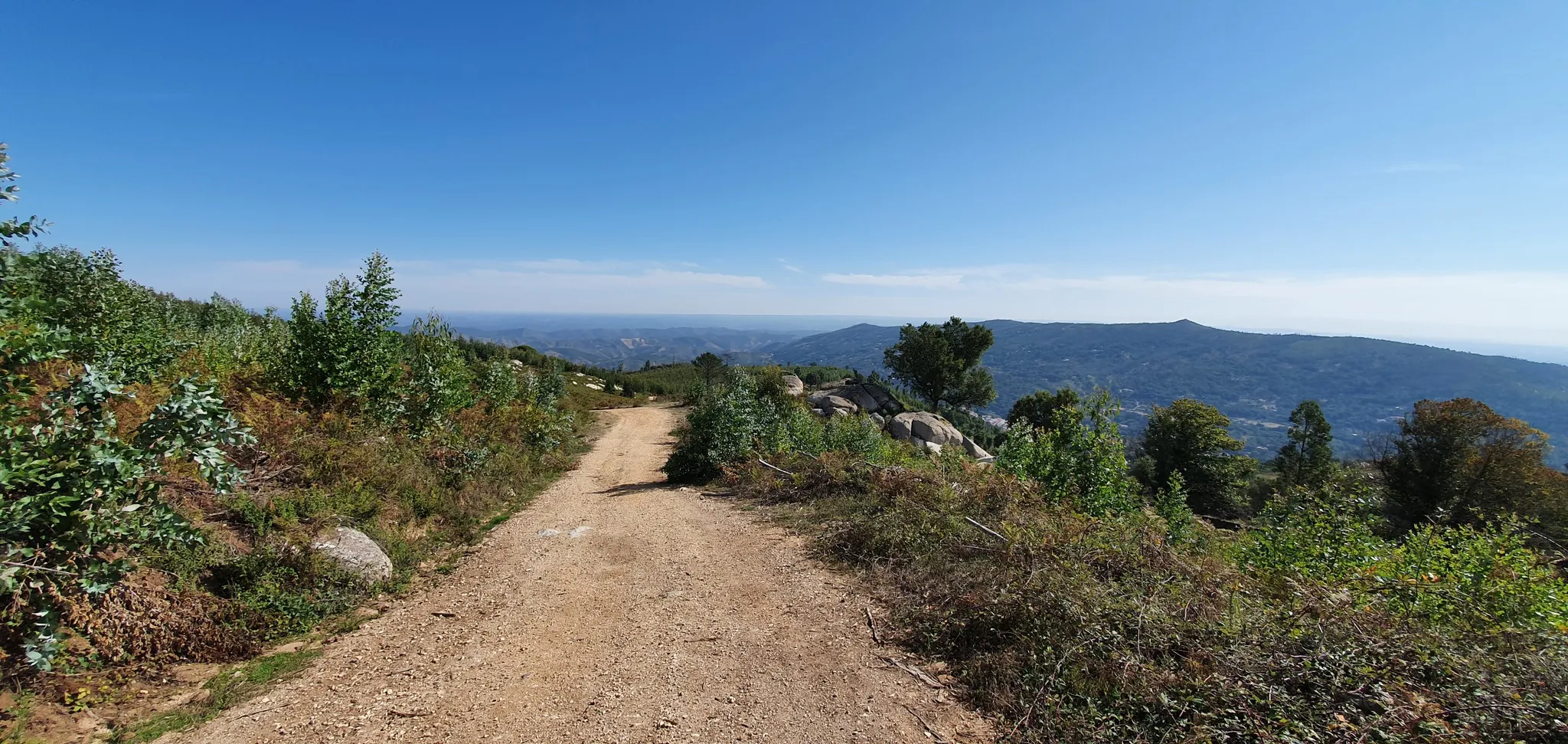
Via Algarviana (GR 13) - hidden corners of the south
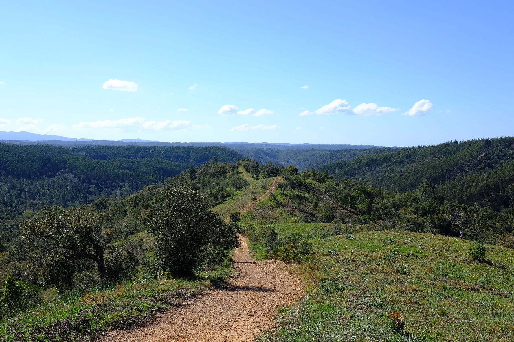
Caminho Histórico – Discover Portugal's beauty and history
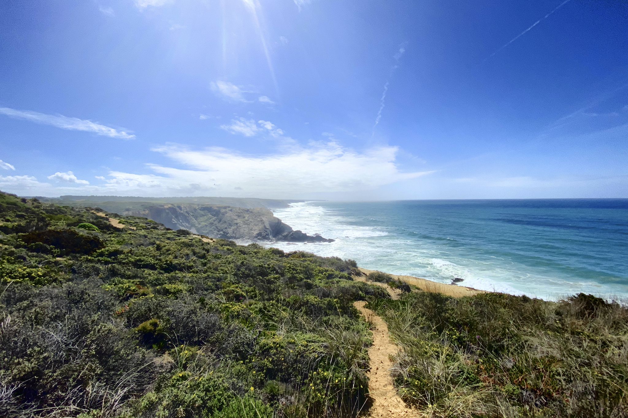
Trilho dos Pescadores – Portugal's Fishermen's Trail
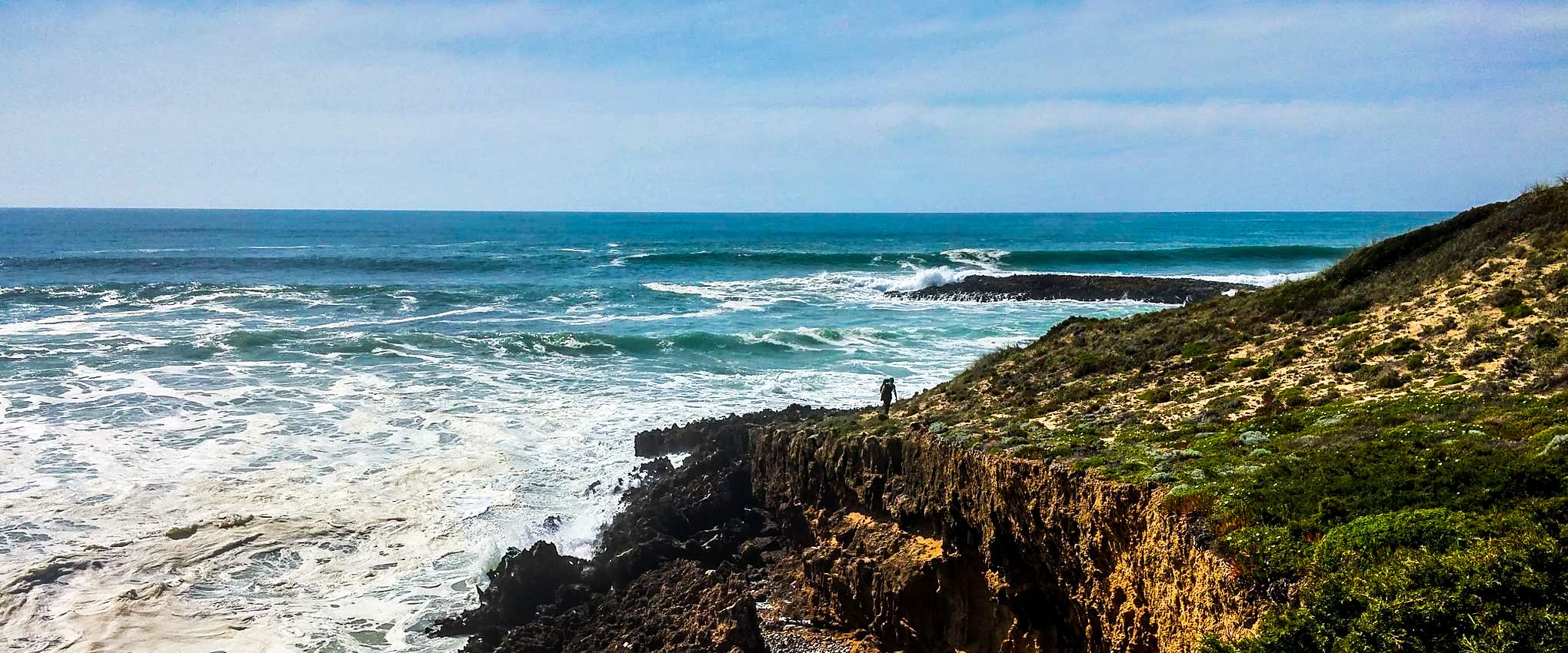
Fishermen's Trail – Discover Portugal's Atlantic Coast
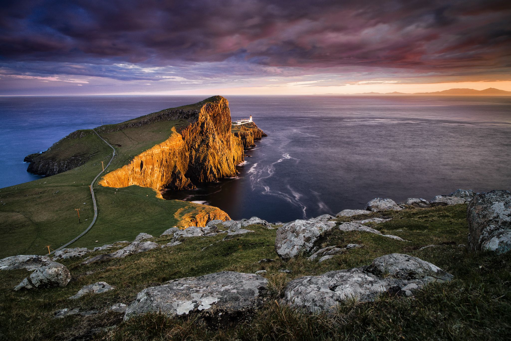
Epic sunset spots in Western Europe
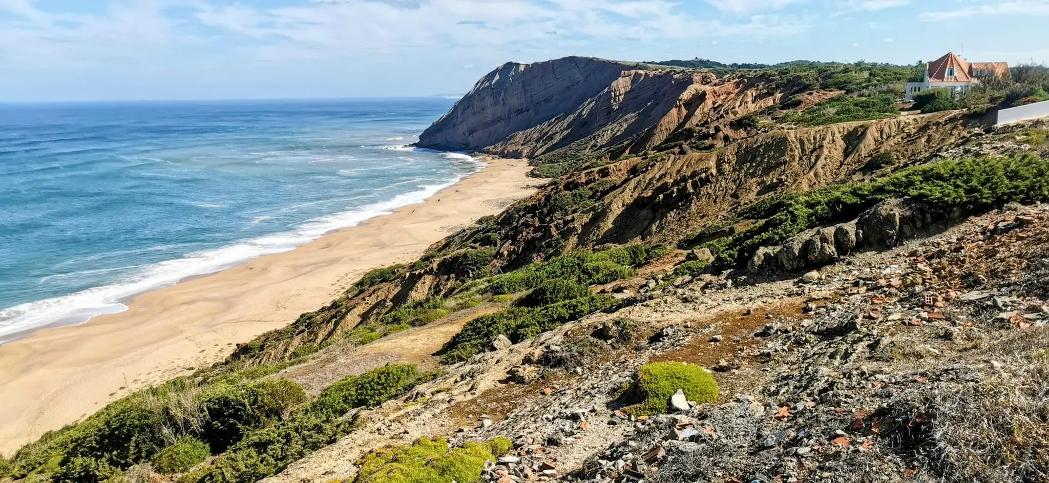
EuroVelo 1 Portugal – Cycle the Atlantic Coast
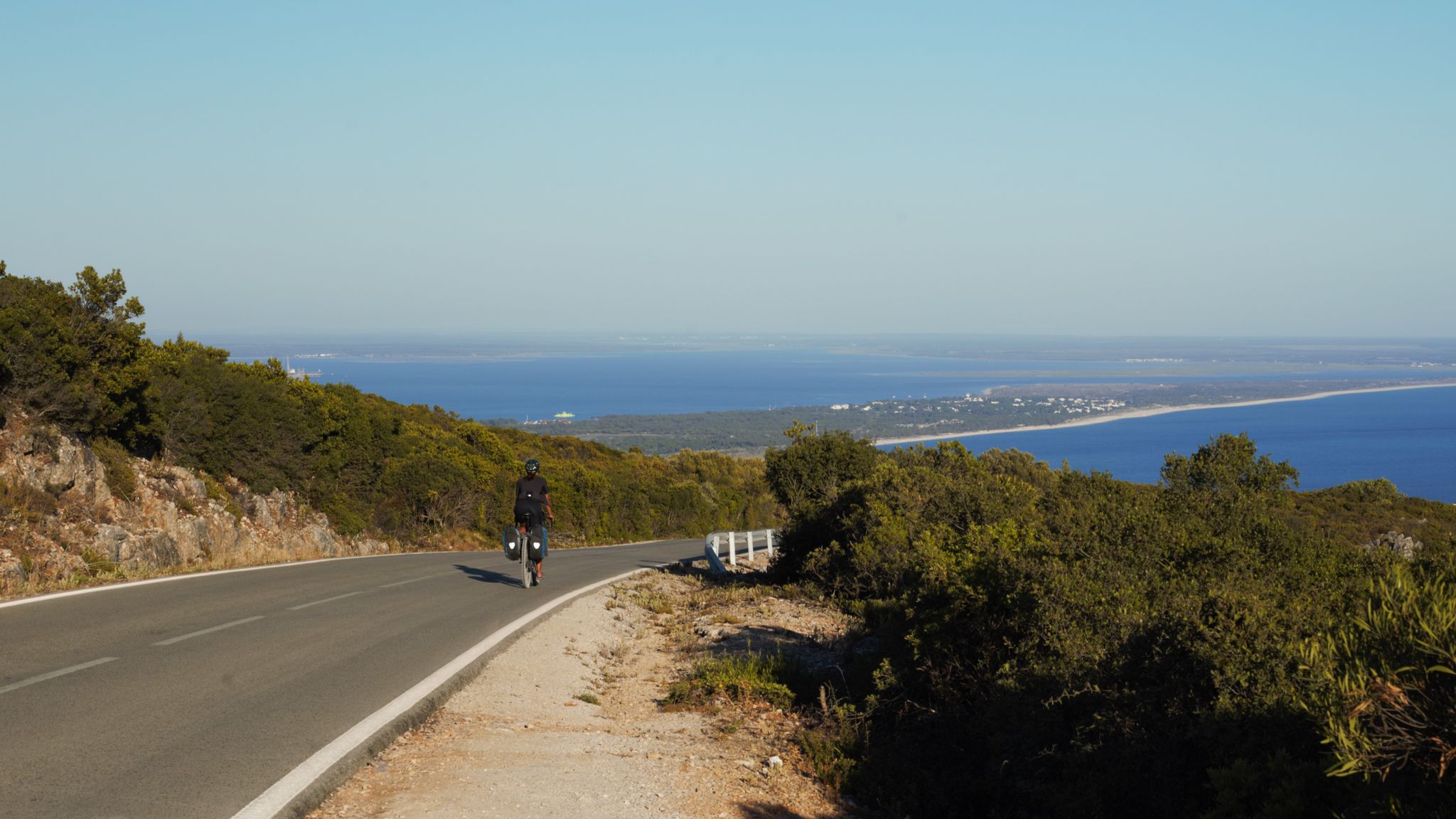
The breaking waves – cycle along the Atlantic coast of Portugal

Road to Lisbon – bikepacking the Alps, Pyrenees and Picos de Europa
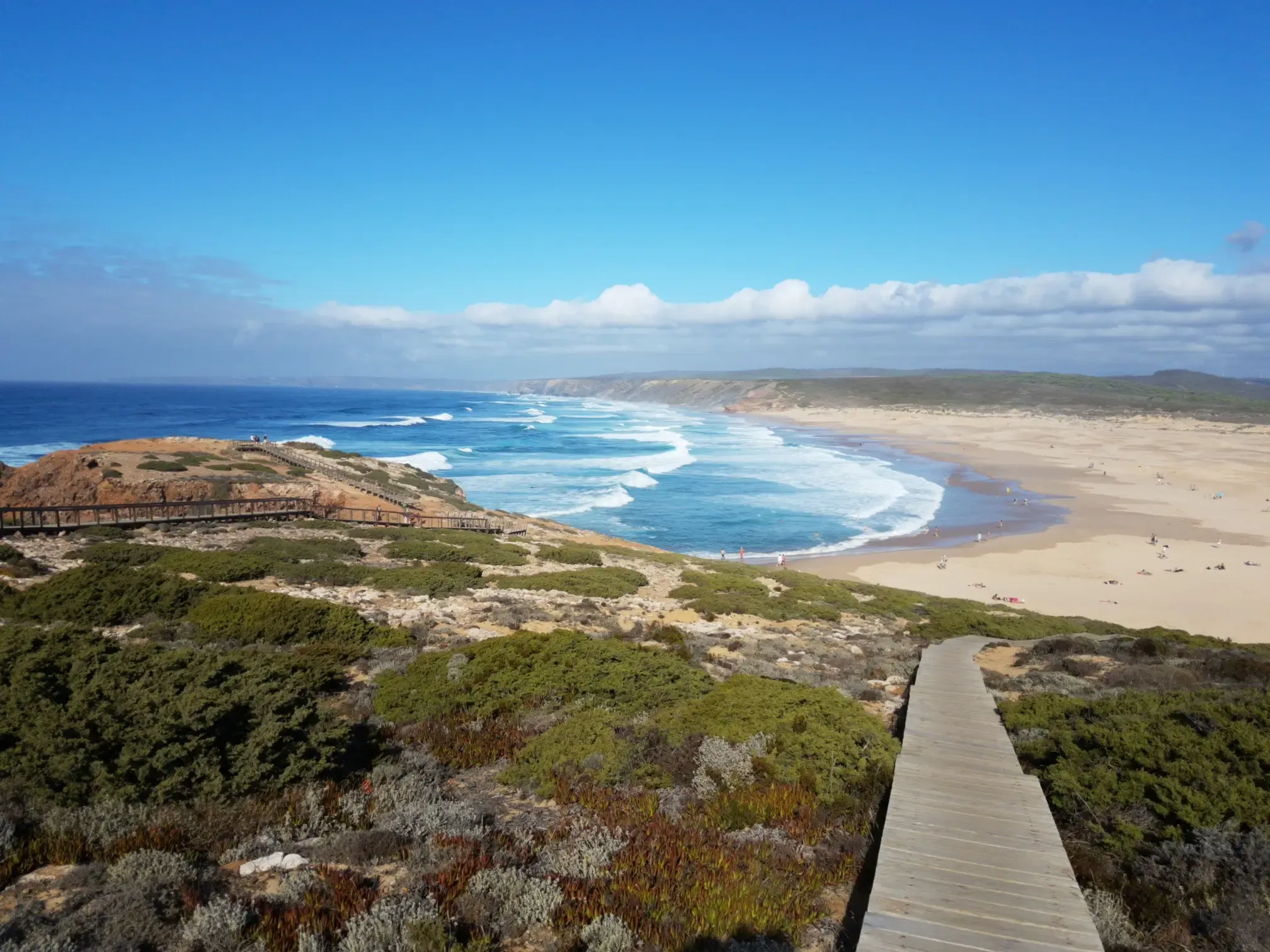
Lisbon to Santo António – The Atlantic Coast of Portugal (south)
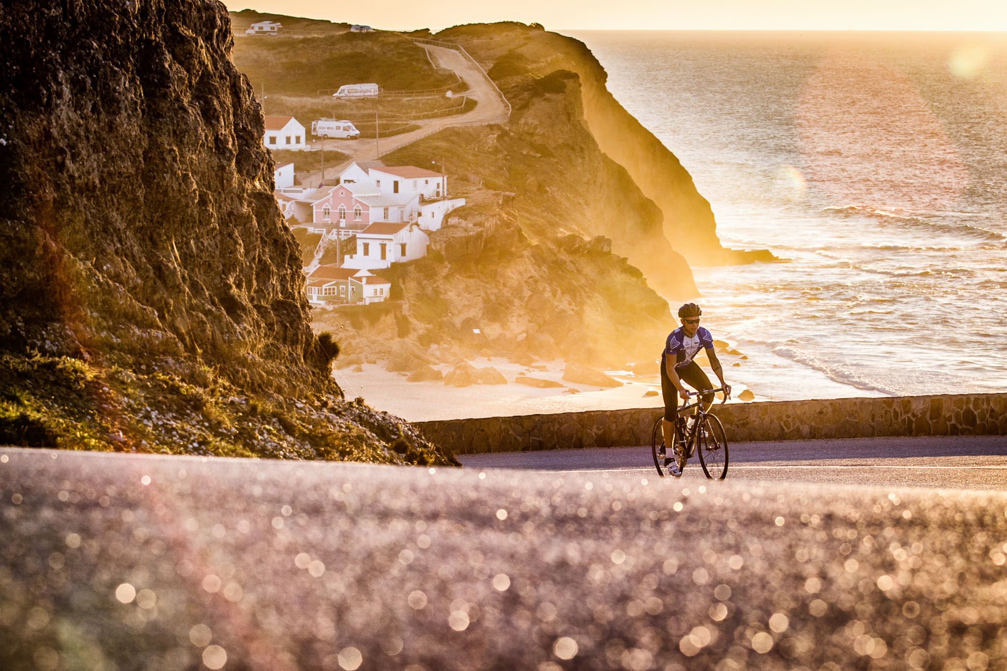
Sun, cliffs and endless roads in the Algarve
Other adventures around National Park Sudoeste Alentejano e Costa Vicentina


Tips from the Community

The Ribeira de Seixe, which takes its name from the Arabic sayh, "torrent", draws the natural border between the Alentejo and the Algarve, running serenely until it meets the Atlantic at Odeceixe Beach. Between the village and the sea, the valley is simply magical: green banks, open views and a perfect environment for cycling. You can even go up the river by canoe, observe birds (and who knows, an otter) or alternate between dips in the calm river and the ocean. This is one of those places that stay in your memory.
1
0

Can the Barranquinho be crossed at the beach?
0
0

A great section with magnificent views of a wonderful coastal landscape.
1
0
Five kilometers from Sagres rises the mythical Cabo de São Vicente, the last gaze of land for explorers setting off towards the unknown of the vast ocean. Wild, windy, and imposing, this promontory of steep cliffs plunges into the Atlantic, crowned by one of Europe's most powerful lighthouses. Called by the Romans Promontorium Sacrum, the "end of the world" was for centuries a sacred place, shrouded in legends and mysteries. Today, it remains a pilgrimage point for sailors, hikers, and dreamers, where the horizon seems to dissolve into infinity.
2
0
Beliche cove marks the meeting point between southern and western Portugal, a setting where the sea and cliffs seem to clash. High above stands the Fort of Santo António de Belixe, a guardian of centuries and storms. Built before the 16th century, it survived attacks, reconstructions, and the 1755 earthquake, later being reborn as an inn. Nearby, the chapel of Santa Catarina, commissioned by Prince Henry the Navigator, serenely watches over the abyss. The views? Breathtaking: the Atlantic and the cliffs merge in a spectacle of pure grandeur.
4
0

Breathtaking views of the river flowing into the sea.
8
0

The center of Sagres is a quiet and charming village in the southwestern Algarve, known for its maritime history and relaxed atmosphere. You'll find cafes, restaurants serving fresh fish, surf shops, and small markets. It's a popular starting point for exploring the rugged coastline, beaches, and the nearby fortress.
1
0

The north access via the stairs works well. The middle exit via stairs and rope was destroyed in the lower section by mud and landslide on September 13, 2025. It was impossible for us to ascend. Due to a lack of accessible alternatives, we returned via the north entrance and continued south along the signposted cliff path above.
0
0
Frequently Asked Questions
What kind of terrain can I expect when hiking in National Park Sudoeste Alentejano e Costa Vicentina?
The park offers a remarkably diverse landscape. You'll encounter rugged coastal cliffs shaped by erosion, undulating dunes, and river estuaries where freshwater meets the sea. Inland, the terrain transitions to scrubland, forests, and hills rising towards the Serra de Espinhaço de Cão. This variety provides a range of experiences, from dramatic ocean views to tranquil inland paths.
Are there hiking trails suitable for families in National Park Sudoeste Alentejano e Costa Vicentina?
Yes, the park features a good selection of family-friendly trails. Out of over 700 routes, over 300 are rated as easy, making them suitable for various ages and fitness levels. These paths often include boardwalks, like the one found on the Bordeira Beach loop, which are great for exploring coastal dunes and beaches.
Can I bring my dog on the hiking trails in National Park Sudoeste Alentejano e Costa Vicentina?
While the park is a natural area, specific regulations for dogs on trails can vary. Generally, dogs are permitted on many trails but should be kept on a leash to protect local wildlife, especially ground-nesting birds and otters. Always check local signage or park guidelines for the specific trail you plan to hike.
What are some notable natural features or landmarks to look out for during a hike?
The park is rich in natural beauty and historical landmarks. You can explore dramatic coastal cliffs, river estuaries like the Mira River, and pristine beaches such as Malhão and Amado. Notable man-made landmarks include the Cabo de São Vicente Lighthouse and the historic Sagres Fortress. You might also spot white storks nesting on seashore rocks, a unique sight in Europe.
What is the best time of year to go hiking in National Park Sudoeste Alentejano e Costa Vicentina?
Spring (March to May) is often considered ideal, as the coastal trails are adorned with vibrant wildflowers, and the weather is pleasantly mild. Autumn (September to November) also offers comfortable temperatures for hiking. Summers can be hot, especially inland, but coastal breezes make it bearable. Winters are generally mild but can bring more rain.
Are there any circular hiking routes available?
Yes, there are many circular routes in the park. For example, the Pontal da Carrapateira — circular route in Costa Vicentina is a popular moderate option, offering coastal views. Another is the Odeceixe-ao-Mar — circular route on the Costa Vicentina, which provides a different perspective of the coastline.
What are the difficulty levels of the hiking trails in the park?
The park offers a wide range of difficulty levels. Out of over 700 routes, 316 are easy, 266 are moderate, and 121 are difficult. This means you can find everything from gentle coastal strolls to more challenging treks through varied terrain, catering to all experience levels.
Is public transport available to reach trailheads in the National Park Sudoeste Alentejano e Costa Vicentina?
Public transport options exist, though they may be limited in some more remote areas. Buses connect major towns and villages within and around the park, which can serve as starting points for various trails, including sections of the Rota Vicentina. Planning your route in advance and checking local bus schedules is recommended.
Where can I find parking for hiking trails?
Parking is generally available at or near popular trailheads and in the villages along the coast. For well-known routes like those along the Rota Vicentina, designated parking areas are often provided. In smaller, more secluded spots, roadside parking might be an option, but always ensure you are not obstructing access or damaging the environment.
Are there any permits required for hiking in National Park Sudoeste Alentejano e Costa Vicentina?
Generally, no specific permits are required for day hiking on the established trails within the National Park Sudoeste Alentejano e Costa Vicentina, including the Rota Vicentina. However, if you plan to do any organized group activities or specific events, it's always best to check with the park authorities for any special regulations.
What do other hikers enjoy most about hiking in National Park Sudoeste Alentejano e Costa Vicentina?
The area is highly rated by the komoot community, with an average score of 4.5 stars from over 9,000 reviews. Hikers often praise the stunning coastal views, the well-preserved natural environment, and the diversity of trails that cater to different abilities. The unique opportunity to observe wildlife, such as white storks and otters, is also frequently highlighted.
What kind of wildlife can I expect to see while hiking?
The park is a sanctuary for unique wildlife. It's the only place globally where white storks build nests on seashore rocks, and one of the last places in Europe to find otters in a marine habitat. You can also spot diverse bird species, especially around river estuaries like the Mira River, and a wide array of endemic plant species, particularly vibrant in spring.
Most popular routes around National Park Sudoeste Alentejano e Costa Vicentina
Most popular attractions around National Park Sudoeste Alentejano e Costa Vicentina

Get inspired with the komoot mobile app


Explore more
Browse the best Hikes in other regions.
