The best cycling routes around National Park Sudoeste Alentejano e Costa Vicentina
4.2
(658)
4,480
riders
167
rides
Touring cycling around National Park Sudoeste Alentejano e Costa Vicentina features a diverse landscape, characterized by a dramatic and untamed coastline with rugged cliffs, expansive beaches, and unique rock formations. Inland, the terrain transitions to woods and moors, with some areas showcasing reddish sediments from sandy cliffs. The park is recognized for its well-preserved coastline and high biodiversity, offering varied routes for touring cyclists. This region provides a mix of coastal paths and rural roads, suitable for exploring its natural features.
Best touring cycling routes around National Park Sudoeste Alentejano e Costa Vicentina
- The most popular touring cycling route is Salema Beach – Lagos Marina loop from Sagres, a 44.3 miles (71.4 km) trail that takes 4 hours 37 minutes to complete. This difficult route offers extensive coastal views and varied landscapes.
- Another top favourite among local touring cyclists is Cape St. Vincent – Cabo de São Vicente Lighthouse loop from Martinhal, an easy 12.1 miles (19.5 km) path. This route features coastal scenery and views of the iconic Cabo de São Vicente Lighthouse.
- Local touring cyclists also love the Porto Covo town center – Pessegueiro Island Beach loop from Vila Nova de Milfontes, a 23.1 miles (37.2 km) trail leading through coastal paths and views of Pessegueiro Island Beach, often completed in about 2 hours 27 minutes.
- Touring cycling around National Park Sudoeste Alentejano e Costa Vicentina is defined by dramatic coastal scenery, rugged cliffs, and inland woods. The network offers options for different ability levels, from easy rides to more challenging routes.
- The routes in National Park Sudoeste Alentejano e Costa Vicentina are highly rated by the komoot community with an average score of 4.2 stars from over 600 reviews. More than 4000 touring cyclists have used komoot to explore National Park Sudoeste Alentejano e Costa Vicentina's varied terrain.
Last updated: July 4, 2026
4.5
(43)
304
riders
71.4km
04:37
860m
860m
Hard bike ride. Very good fitness required. Mostly paved surfaces. Suitable for all skill levels.
4.4
(35)
308
riders
18.4km
01:10
180m
180m
Moderate bike ride. Good fitness required. Mostly paved surfaces. Suitable for all skill levels.

Sign up for free
3.5
(37)
197
riders
Moderate bike ride. Good fitness required. Mostly paved surfaces. Suitable for all skill levels.
3.8
(39)
188
riders
37.9km
02:37
240m
240m
Moderate bike ride. Good fitness required. Mostly paved surfaces. Suitable for all skill levels.
4.3
(27)
162
riders
25.1km
01:48
190m
190m
Moderate bike ride. Good fitness required. Mostly paved surfaces. Suitable for all skill levels.
Get access to more routes and recommendations from other explorers.
Sign up for free
Already have an account?
Our route recommendations are based on thousands of hikes, rides, and runs completed by other people on komoot.
Start today with a free account
Your next adventure awaits.
Login or Signup
Popular around National Park Sudoeste Alentejano e Costa Vicentina
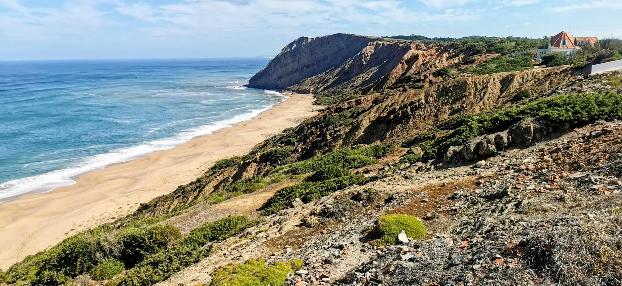
EuroVelo 1 Portugal – Cycle the Atlantic Coast
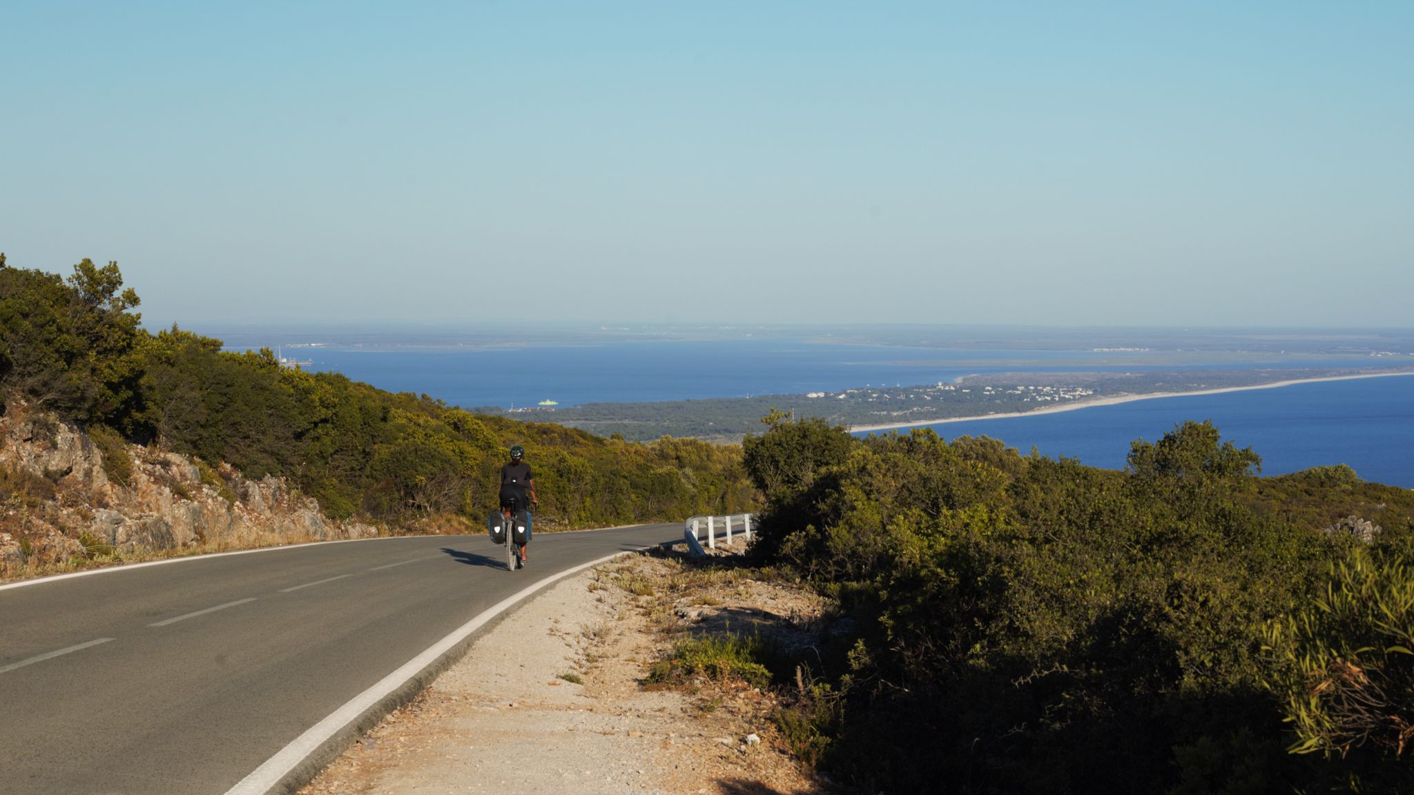
The breaking waves – cycle along the Atlantic coast of Portugal
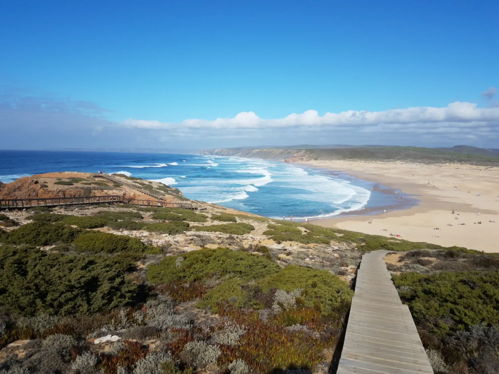
Lisbon to Santo António – The Atlantic Coast of Portugal (south)
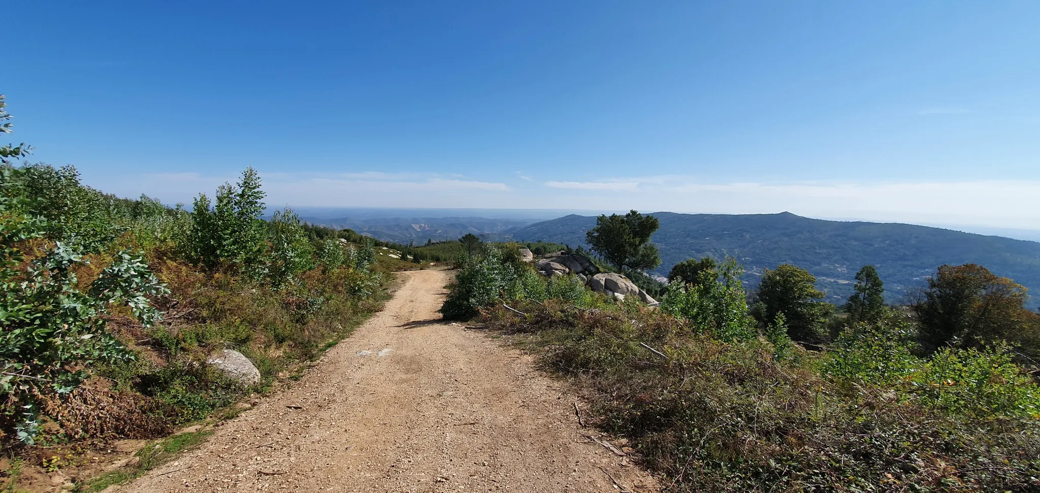
Via Algarviana (GR 13) - hidden corners of the south
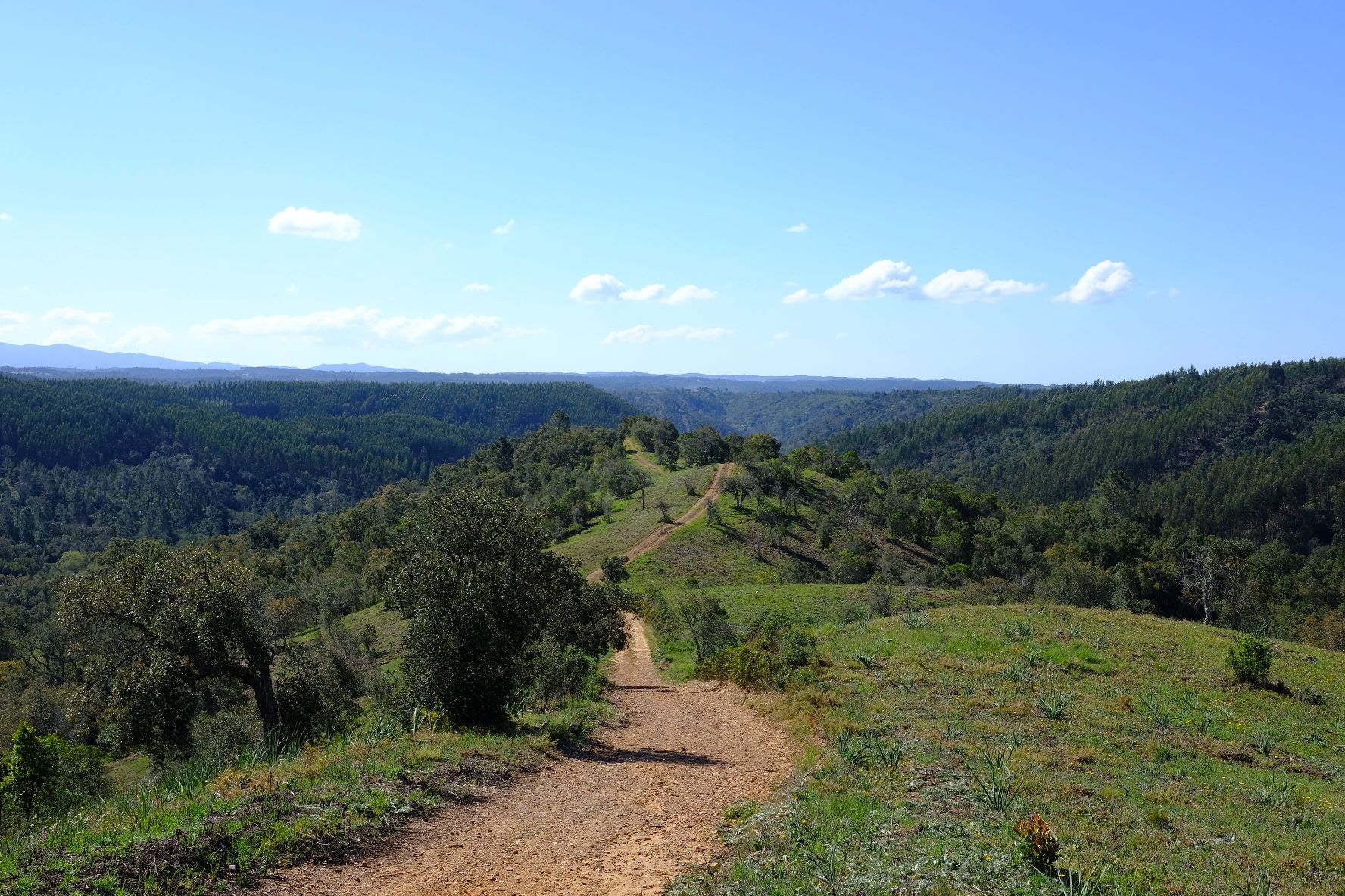
Caminho Histórico – Discover Portugal's beauty and history
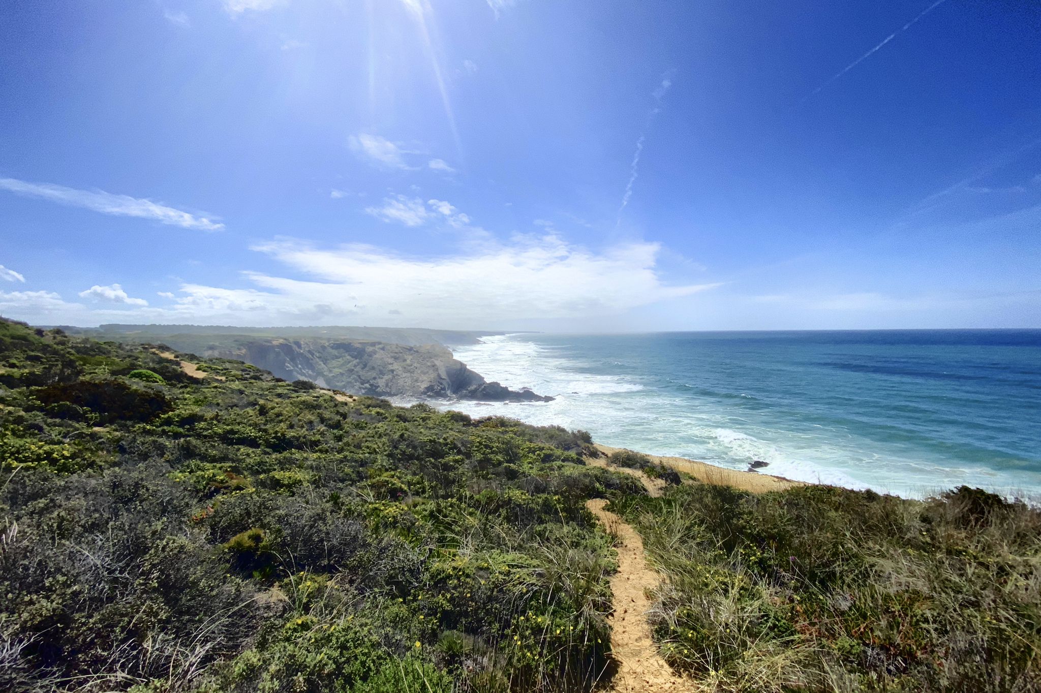
Trilho dos Pescadores – Portugal's Fishermen's Trail

Road to Lisbon – bikepacking the Alps, Pyrenees and Picos de Europa
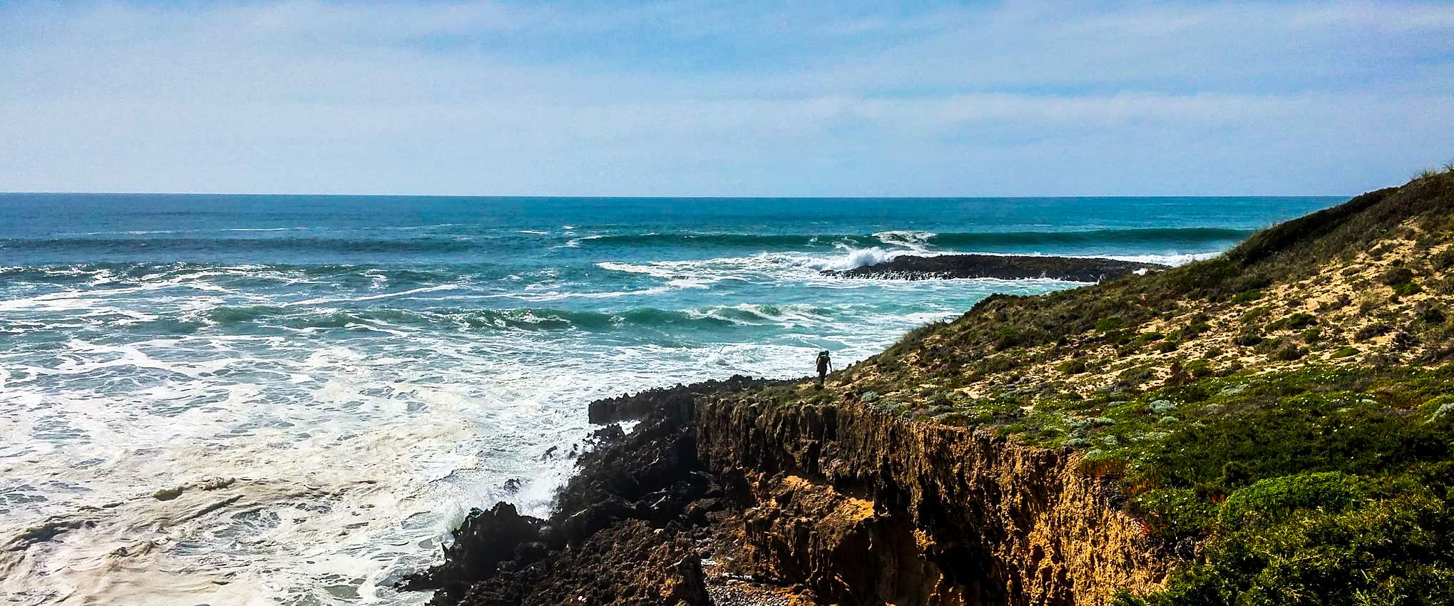
Fishermen's Trail – Discover Portugal's Atlantic Coast
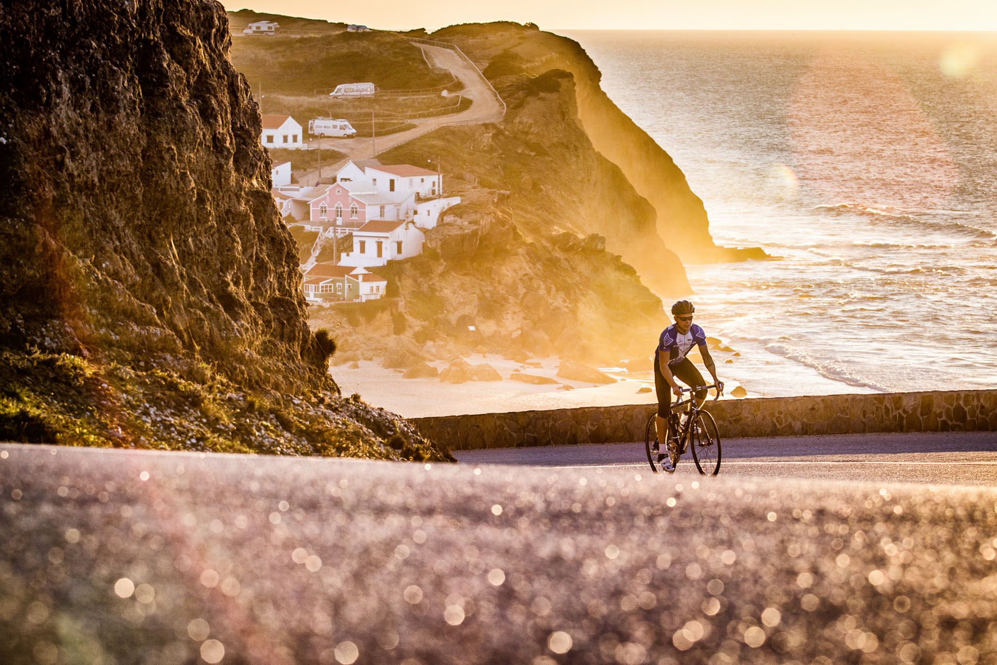
Sun, cliffs and endless roads in the Algarve
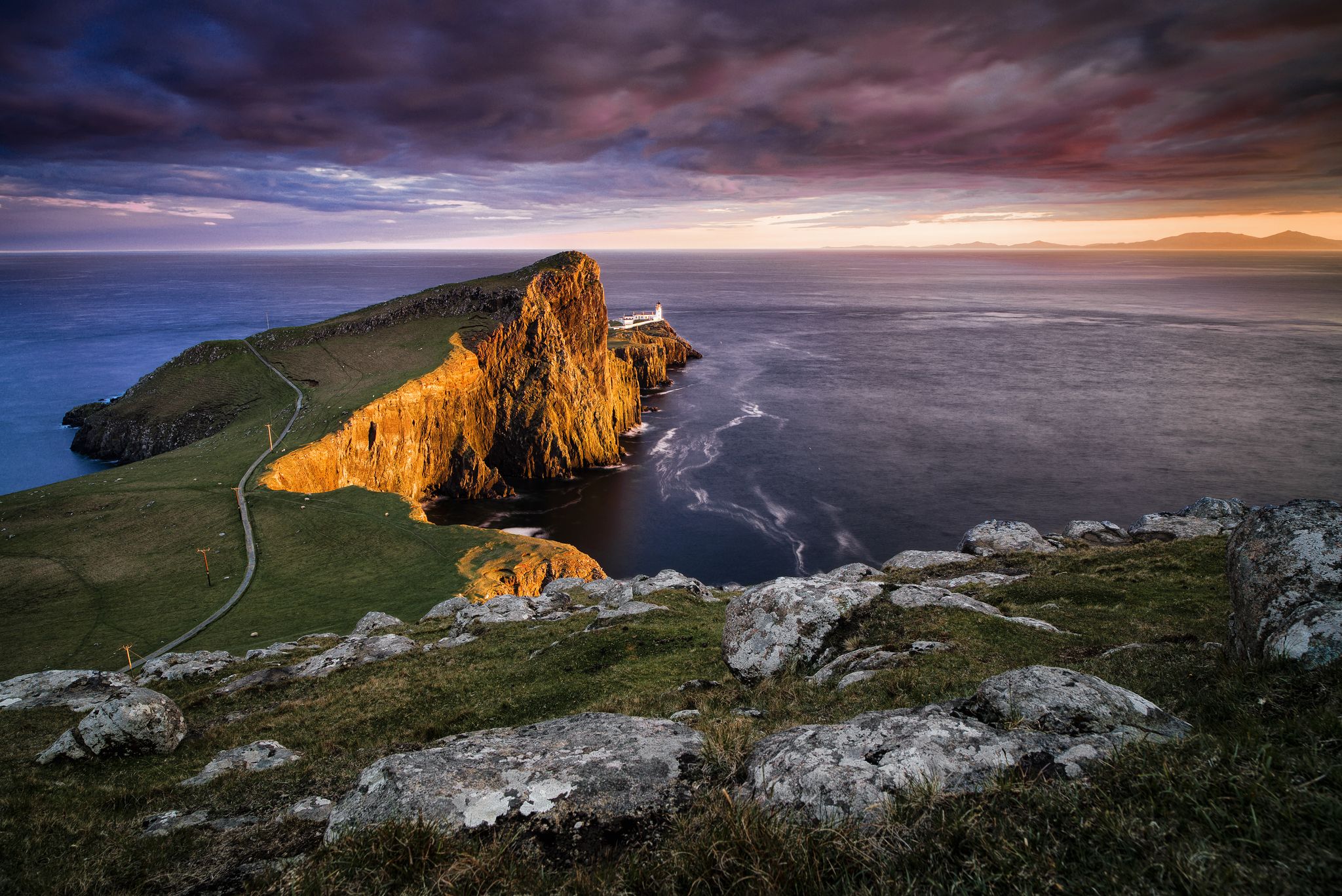
Epic sunset spots in Western Europe
Other adventures around National Park Sudoeste Alentejano e Costa Vicentina


Tips from the Community


Five kilometers from Sagres rises the mythical Cabo de São Vicente, the last glimpse of land for explorers setting off towards the unknown of the vast ocean. Wild, windy, and imposing, this promontory of steep cliffs plunges into the Atlantic, crowned by one of Europe's most powerful lighthouses. Called by the Romans Promontorium Sacrum, the “end of the world,” it was for centuries a sacred place, shrouded in legends and mysteries. Today, it remains a pilgrimage point for sailors, hikers, and dreamers, where the horizon seems to dissolve into infinity.
2
0
In the interior of the Algarve, true gravel gems are hidden and this stretch between Vila do Bispo and Raposeira is pure cycling pleasure. It's about two kilometers of perfect road, surrounded by green hills that seem to go on forever and the region's typical vegetation. Fluid, beautiful and with that feeling of freedom that only the wilder Algarve can offer.
1
0
Porto Covo stretches out over the Atlantic with its simple charm: whitewashed houses, quiet streets, and a strong fishing soul. Here, life follows the rhythm of the sea. In the heart of the Costa Vicentina, it is a key point for those who cycle: dramatic cliffs, hidden beaches, and coastal trails that invite you to explore without haste. Between dives, coffees in the square, and endless views, Porto Covo is one of those places that make you want to stay just a little longer.
2
0

The staff there go on strike occasionally. Then you can't get to the viewpoint!
0
0

Cabo de São Vicente is the southwesternmost point of the European mainland, located near Sagres in the Algarve (Portugal). It is known for its high cliffs, rugged ocean views, and an iconic lighthouse. Due to its remote location, it feels like "the end of the world" and is a popular spot for sunsets.
4
1
Five kilometers from Sagres rises the mythical Cabo de São Vicente, the last gaze of land for explorers setting off towards the unknown of the vast ocean. Wild, windy, and imposing, this promontory of steep cliffs plunges into the Atlantic, crowned by one of Europe's most powerful lighthouses. Called by the Romans Promontorium Sacrum, the "end of the world" was for centuries a sacred place, shrouded in legends and mysteries. Today, it remains a pilgrimage point for sailors, hikers, and dreamers, where the horizon seems to dissolve into infinity.
2
0
Praia da Luz is a quiet coastal town in the western Algarve, near Lagos. It boasts a beautiful sandy beach fringed by cliffs and a promenade lined with cafes and restaurants. Originally a fishing village, it is now a popular holiday destination with a friendly atmosphere, ideal for families and hikers.
2
0
Frequently Asked Questions
How many touring cycling routes are available in National Park Sudoeste Alentejano e Costa Vicentina?
There are over 170 touring cycling routes available in National Park Sudoeste Alentejano e Costa Vicentina. These routes cater to various skill levels, with 43 easy, 81 moderate, and 48 difficult options.
What makes the National Park Sudoeste Alentejano e Costa Vicentina a unique destination for touring cyclists?
The park offers a unique blend of dramatic, untamed coastline with rugged cliffs and expansive beaches, transitioning inland to woods and moors. It's recognized for its high biodiversity, including unique features like Cabo Sardão, where white storks nest on cliffs, and the majestic vistas around Cabo de São Vicente. The extensive Rota Vicentina network, particularly the Caminho Histórico, provides well-suited trails for exploring this diverse landscape.
What do other touring cyclists say about the routes in National Park Sudoeste Alentejano e Costa Vicentina?
The touring cycling routes in National Park Sudoeste Alentejano e Costa Vicentina are highly rated by the komoot community, with an average score of 4.2 stars from over 600 reviews. More than 4,000 touring cyclists have used komoot to explore the varied terrain, often praising the stunning coastal views and diverse landscapes.
When is the best time of year to go touring cycling in National Park Sudoeste Alentejano e Costa Vicentina?
The mild Mediterranean weather makes spring (March to May) an ideal time for touring cycling. During this period, you can enjoy pleasant temperatures, blooming nature, and fewer crowds, perfect for exploring the quiet trails and roads.
Are there any family-friendly touring cycling routes in the park?
Yes, the park offers several easy routes suitable for families. An example is the Cape St. Vincent – Cabo de São Vicente Lighthouse loop from Martinhal, which is an easy 19.5 km path featuring coastal scenery and views of the iconic lighthouse. Many routes on the Rota Vicentina's Caminho Histórico are also suitable for various fitness levels.
What kind of terrain can I expect on touring cycling routes in this region?
You can expect a diverse range of terrain. Coastal routes often feature paved sections with some unpaved segments, offering dramatic cliff-top views and beach access. Inland, routes transition to rural roads through woods and moors. The Rota Vicentina's Caminho Histórico primarily uses rural roads, making it suitable for touring bikes, while the Trilho dos Pescadores is mainly a hiking path and less suitable for cycling.
What are some notable landmarks or attractions I can see along the touring cycling routes?
Many routes pass by significant landmarks and natural features. You can visit the iconic Cabo de São Vicente Lighthouse, explore historic sites like Sagres Fortress, or discover charming fishing villages such as Porto Covo and Vila Nova de Milfontes. The park also features beautiful beaches like Pessegueiro Island Beach and Amado Beach.
Are there any circular touring cycling routes available?
Yes, there are several circular routes. For example, the Porto Covo town center – View of Ilha do Pessegueiro loop from Porto Covo is a moderate 37.9 km route that offers coastal views. Another option is the Sagres Cycle Path – Cabo de São Vicente Lighthouse loop from Sagres, a moderate 25.2 km ride.
What are the options for parking and public transport when accessing cycling routes?
Many towns and villages along the coast, such as Sagres, Martinhal, and Vila Nova de Milfontes, offer parking facilities near popular route starting points. While public transport options exist, bringing bikes on buses or trains can be limited, so it's advisable to check local regulations and schedules in advance, especially for longer journeys.
Can I find bike rental and repair services in the National Park Sudoeste Alentejano e Costa Vicentina?
Yes, bike rental and repair services are available in some of the larger towns and tourist hubs within and around the park, such as Sagres, Aljezur, and Vila Nova de Milfontes. It's recommended to book rentals in advance, especially during peak season.
Are there accommodations and places to eat along the cycling routes?
The charming fishing villages and towns throughout the park, including Porto Covo, Vila Nova de Milfontes, and Sagres, offer a variety of accommodations, from guesthouses to hotels. You'll also find numerous cafes, restaurants, and local eateries where you can refuel and experience local cuisine along the routes.
What is the longest touring cycling route in the area?
One of the longer and more challenging routes is the Salema Beach – Lagos Marina loop from Sagres. This difficult route spans 71.4 km (44.3 miles) and offers extensive coastal views and varied landscapes, typically taking around 4 hours and 37 minutes to complete.
Most popular routes around National Park Sudoeste Alentejano e Costa Vicentina
Most popular attractions around National Park Sudoeste Alentejano e Costa Vicentina

Get inspired with the komoot mobile app


Explore more
Browse the best Cycling routes in other regions.
