Naturpark Frankenhöhe
Naturpark Frankenhöhe
The 8 Most Amazing Peaks in Naturpark Frankenhöhe
Best mountain peaks in Naturpark Frankenhöhe are characterized by gentle, hilly landscapes with elevations exceeding 500 meters. This region offers a diverse natural environment, including mixed forests, flowing waters, and dry biotopes, alongside cultural elements. The elevated areas provide opportunities for relaxed hiking experiences and scenic views across the varied terrain.
Best mountain peaks in Naturpark Frankenhöhe
- The most popular mountain peaks is Summit cross on the Petersberg, a summit that offers excellent views over the upper Aischtal and…
Last updated: July 8, 2026
Summit cross on the Petersberg
Highlight • Summit
Tip by

Petersberg Nature Trail
Highlight • Trail
Translated by Google •
Tip by

Sign up now to discover places like this
Get recommendations on the best single tracks, peaks, & plenty of other exciting outdoor places.
Sign up for free
Landsknecht Summit (534 m) – Highest Point of Northern Frankenhöhe
Highlight • Summit
Translated by Google •
Tip by

Signpost
Highlight • Summit
Translated by Google •
Tip by

Bühlberg
Highlight (Segment) • Summit
Translated by Google •
Tip by

Sign up for free to discover even more peaks in Naturpark Frankenhöhe.
Sign up for free
Already have an account?
Start today with a free account
Your next adventure awaits.
Login or Signup
Popular around Naturpark Frankenhöhe

Main-Danube-Lake Constance Trail – Along iconic waters

Germany's Hohenlohe-Ostalb Cycle Route – From idyllic valleys to the Swabian Alb

The Romantic Road – To the Pearls of Southern Germany
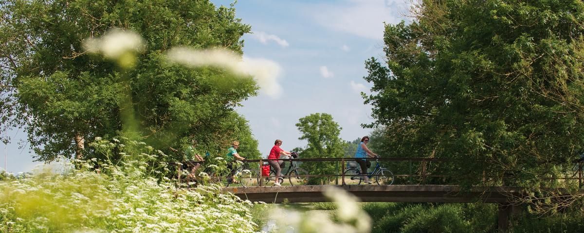
The most beautiful long-distance cycle paths in Franconia
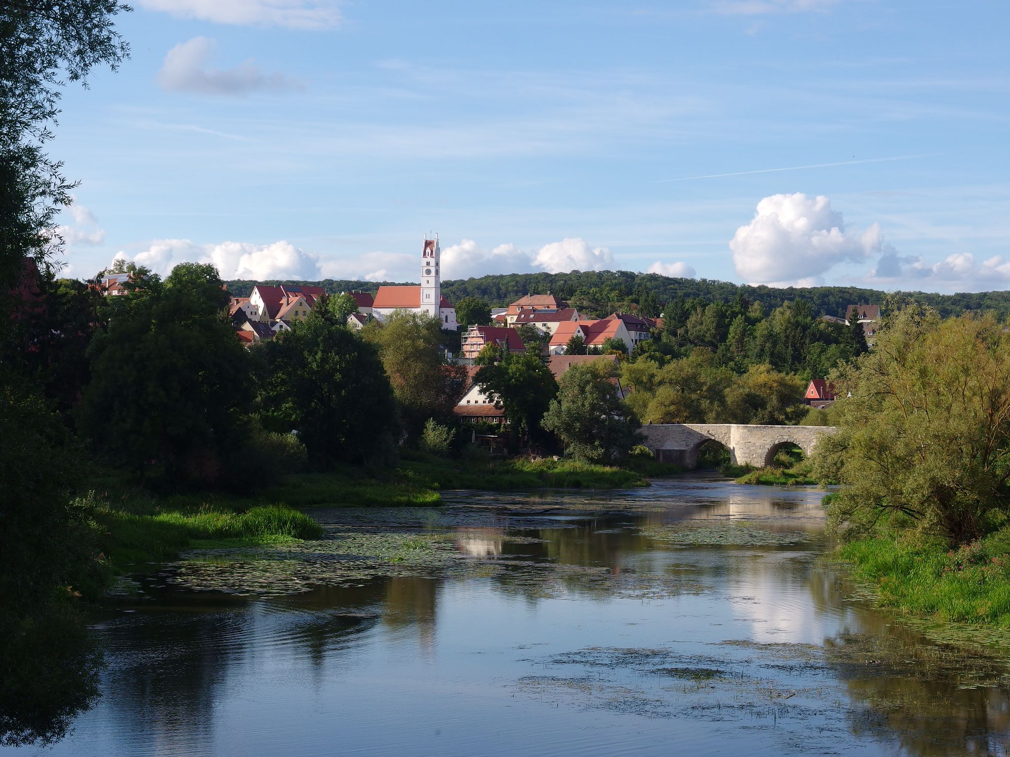
The Romantic Road – 10 fabulous stages
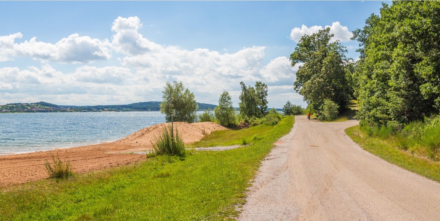
The Franconian Water Bike Path – 8 days of creeks, lakes & rivers
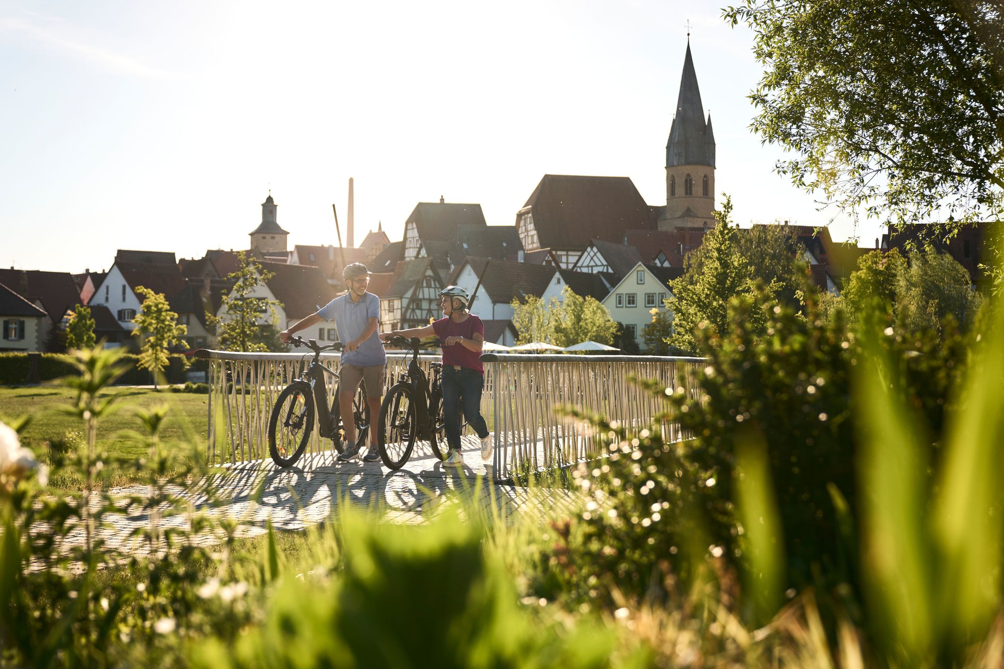
Half-timbered houses and superb cycling tours – the best of the South

The National Natural Landscapes in Bavaria
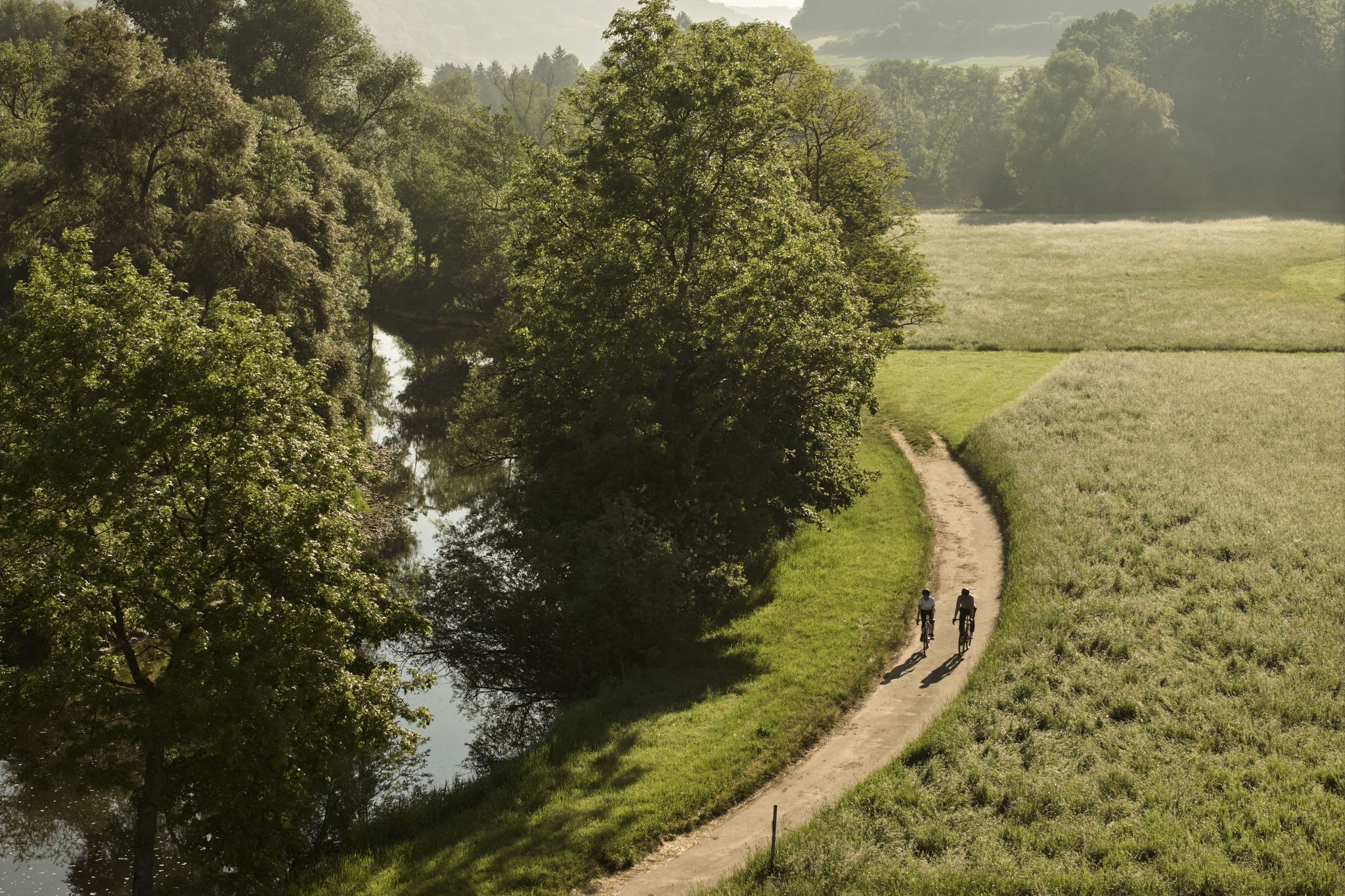
River delights & timber frames – riverside cycling in Süden ganz oben
Gravel meets rail – gravel rides in the greater Nuremberg area
Other adventures in Naturpark Frankenhöhe


Tips from the Community

A circular hiking trail with many highlights
1
0

The highlight of the HINTERINDIEN.DE tour no. 91
0
0


The summit cross on the Petersberg is much more than just a landmark. It is a symbolic place that combines spiritual, cultural and natural elements. For visitors and the local community, it is an important landmark that embodies the beauty and history of the region.
4
1
The Petersberg Adventure Trail is a wonderful destination for nature lovers, families and educational institutions. It combines the beauty of the Franconian landscape with educational and interactive elements that make the visit an unforgettable experience. Whether for a short hike or an extended day trip, the Petersberg Adventure Trail offers something for every taste.
4
0

The Landsknecht is the highest elevation of the northern Franconian Heights at 534m above NHN - almost - strictly speaking, this is the Sandberg, the two ridges were swapped, the Landsknecht is at an altitude of 526m above NHN and the Sandberg is 534m above NHN
1
0
Frequently Asked Questions
What are the most prominent mountain peaks in Naturpark Frankenhöhe?
Naturpark Frankenhöhe is characterized by gentle, hilly landscapes. The highest point is Pfeifbuck, reaching 623 meters (2,044 ft). Other notable elevations include Sandberg (555 m), Schulzenhöhe (547 m), and Büttelberg (545 m). Among the popular spots is the Summit cross on the Petersberg, offering excellent views over the upper Aischtal.
Are there family-friendly trails or peaks in Naturpark Frankenhöhe?
Yes, the park offers several family-friendly options. The Petersberg Nature Trail is an excellent choice, combining scenic landscapes with interactive elements. It features two distinct routes, including a 3.5 km path to the summit and a 900-meter barrier-free option, making it suitable for various ages and abilities.
What kind of views can I expect from the mountain peaks in Naturpark Frankenhöhe?
The elevated areas in Naturpark Frankenhöhe provide scenic views of the diverse landscape, including mixed forests, meadows, and pronounced river valleys. From the Summit cross on the Petersberg, for instance, you can enjoy panoramic views over the upper Aischtal, the Steigerwald, and on clear days, even the foothills of the Rhön and Fränkische Schweiz.
What outdoor activities can I do near these mountain peaks?
Beyond hiking, Naturpark Frankenhöhe offers a variety of outdoor activities. You can explore numerous MTB Trails, enjoy Running Trails, or go Cycling. Popular routes include the 'Tauber River – Steinbachtal loop' for MTB and 'Schlossberg Forest Path – Bernemer Mountain Pine loop' for running.
What is the best time to visit Naturpark Frankenhöhe for hiking?
The gentle low mountain landscape of Naturpark Frankenhöhe makes it suitable for hiking throughout much of the year. Spring and autumn offer pleasant temperatures and vibrant natural colors, while summer provides longer daylight hours. Even winter can be appealing for quiet walks, though some trails might require appropriate footwear for snow or ice.
Are there any educational trails or nature experiences available?
Yes, the Petersberg Nature Trail is an excellent example. It's an educational trail that combines the beauty of the Franconian landscape with interactive elements. Along the path, you can learn about the local flora and fauna, including rare plant species and wildlife like the swallowtail butterfly or stag beetle.
What kind of terrain and difficulty can I expect on the trails?
The terrain in Naturpark Frankenhöhe is generally characterized by gentle hills and moderate altitude differences, making for a relaxed hiking experience suitable for a wide range of fitness levels. While some paths, like parts of the Petersberg Adventure Trail, might be described as 'sometimes troublesome' and recommend sturdy footwear, challenging alpine ascents are not typical here.
Can I find cultural or historical sites near the peaks?
Yes, the nature park seamlessly blends nature with culture. Hiking trails often pass by or lead to cultural highlights. The Petersberg, for example, has historical significance with legends and a former chapel site. Nearby historic towns like Rothenburg ob der Tauber and various castles also dot the landscape, offering a blend of natural beauty and historical interest.
What makes the Landsknecht Summit notable?
The Landsknecht Summit (534 m) is a prominent elevation often cited as the highest point in the northern part of the Frankenhöhe. While the nearby Sandberg is slightly higher at 534 meters, the Landsknecht remains a significant landmark for hikers exploring the region.
What wildlife might I encounter on the mountain trails?
Naturpark Frankenhöhe is rich in biodiversity. On trails around peaks like the Petersberg, you might spot rare plant species such as gentians, orchids, and Turk's cap lilies. Wildlife sightings can include the swallowtail butterfly, toad, stag beetle, and various birds like the wryneck, woodlark, and red-backed shrike.
Are there specific trails that are part of larger hiking networks?
Yes, the higher elevations of Naturpark Frankenhöhe are often integrated into popular hiking routes. A notable example is the 'Qualitätswanderweg Europäischer Wasserscheideweg' (European Watershed Quality Trail), which winds through the gentle low mountain landscape, offering extensive routes through forests and meadows.
What do visitors enjoy most about the peaks in Naturpark Frankenhöhe?
Visitors particularly appreciate the relaxed hiking experience, the scenic views of the diverse landscape, and the peaceful atmosphere on secluded paths. Many also enjoy the blend of nature with cultural elements, such as historic towns and castles, and the opportunity for nature immersion away from crowded areas.
Most popular routes in Naturpark Frankenhöhe
Most popular attractions in Naturpark Frankenhöhe

Get inspired with the komoot mobile app


Explore more
See even more amazing summits in Naturpark Frankenhöhe with these guides:
