The best MTB trails in Naturpark Frankenhöhe
4.6
(994)
3,134
riders
635
rides
Mountain bike trails in Naturpark Frankenhöhe traverse a diverse landscape of mixed woodlands, streams, and hilly terrain. The region features varied topography, including river valleys and elevation changes, with mountains reaching over 500 meters in the western part. The European Watershed also runs through the park, offering routes with views of the gentle landscape. About one-third of the nature park is covered by forest, providing shaded trails and dynamic routes with moderate to demanding ascents and descents.
Best mountain bike trails in Naturpark Frankenhöhe
- The most popular mountain bike trail is Tauber River – Steinbachtal loop from Rothenburg ob der Tauber, a 17.6 miles (28.4 km) trail that takes 2 hours 15 minutes to complete. This moderate route follows river valleys and offers scenic views.
- Another top favourite among local mountain bikers is Weinbergtal Trail – Middle Aurach Valley loop from Markt Erlbach, a moderate 24.1 miles (38.8 km) path. This route explores areas with hidden streams, springs, and ponds, adding to the natural beauty of the ride.
- Local mountain bikers also love the View of the Topplerschlösschen – Tauber River loop from Holzberg, a 15.3 miles (24.6 km) trail leading through river valleys and past cultural landmarks, often completed in about 1 hour 35 minutes.
- Mountain biking in Naturpark Frankenhöhe is defined by mixed woodlands, hilly terrain, and river valleys. The network offers options for different ability levels, from moderate to more demanding paths.
- The routes in Naturpark Frankenhöhe are highly rated by the komoot community with an average score of 4.6 stars from over 900 reviews. More than 3,000 mountain bikers have used komoot to explore Naturpark Frankenhöhe's varied terrain.
Last updated: July 2, 2026
4.4
(10)
39
riders
38.8km
03:06
420m
420m
Moderate mountain bike ride. Good fitness required. Suitable for all skill levels.
4.7
(12)
81
riders
24.6km
01:35
310m
310m
Moderate mountain bike ride. Good fitness required. Suitable for all skill levels.

Sign up for free
4.7
(13)
49
riders
40.7km
03:21
540m
540m
Moderate mountain bike ride. Good fitness required. Advanced riding skills necessary.
4.5
(4)
13
riders
Moderate mountain bike ride. Good fitness required. Advanced riding skills necessary.
4.7
(14)
54
riders
64.5km
04:08
590m
590m
Moderate mountain bike ride. Good fitness required. Advanced riding skills necessary.
Get access to more routes and recommendations from other explorers.
Sign up for free
Already have an account?
Our route recommendations are based on thousands of hikes, rides, and runs completed by other people on komoot.
Start today with a free account
Your next adventure awaits.
Login or Signup
Popular around Naturpark Frankenhöhe

Main-Danube-Lake Constance Trail – Along iconic waters

Germany's Hohenlohe-Ostalb Cycle Route – From idyllic valleys to the Swabian Alb

The Romantic Road – To the Pearls of Southern Germany
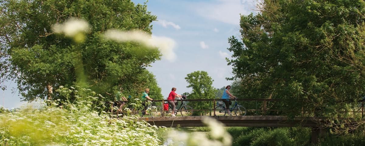
The most beautiful long-distance cycle paths in Franconia
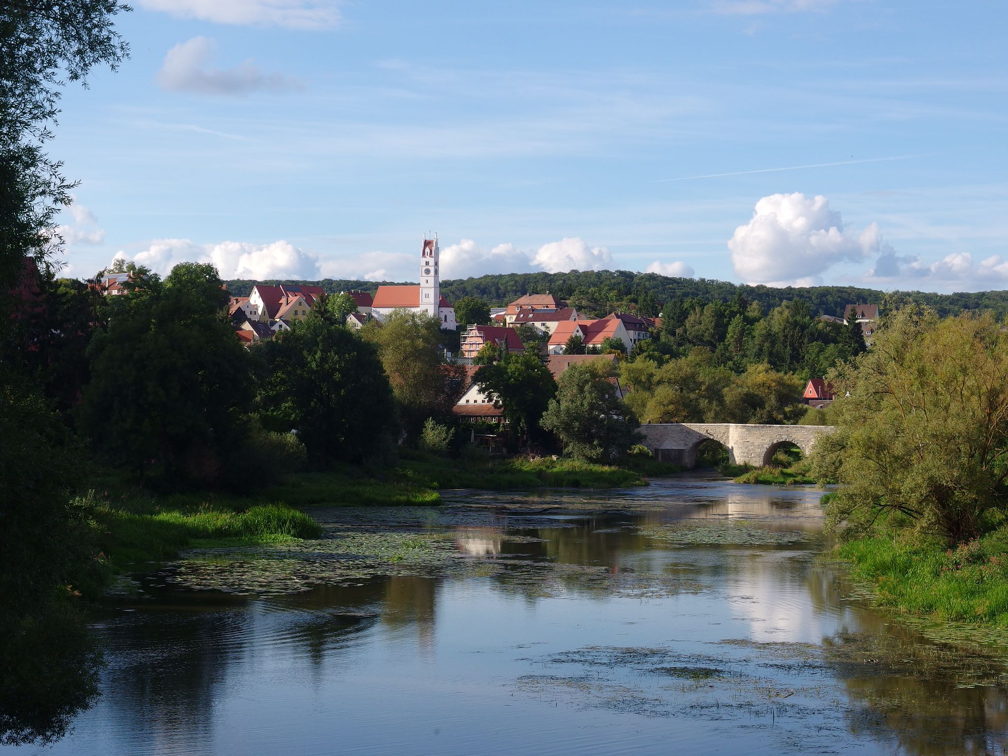
The Romantic Road – 10 fabulous stages
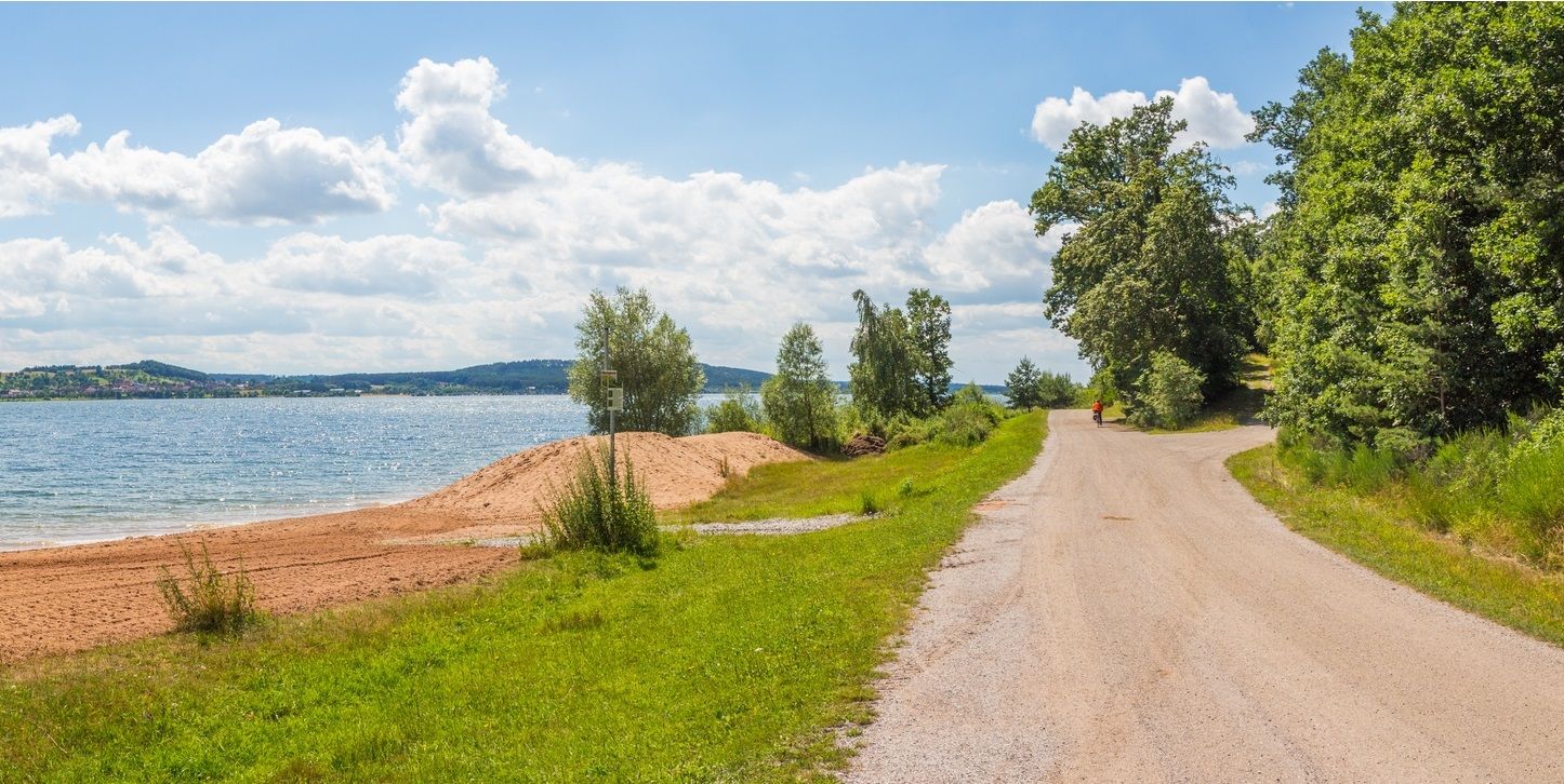
The Franconian Water Bike Path – 8 days of creeks, lakes & rivers
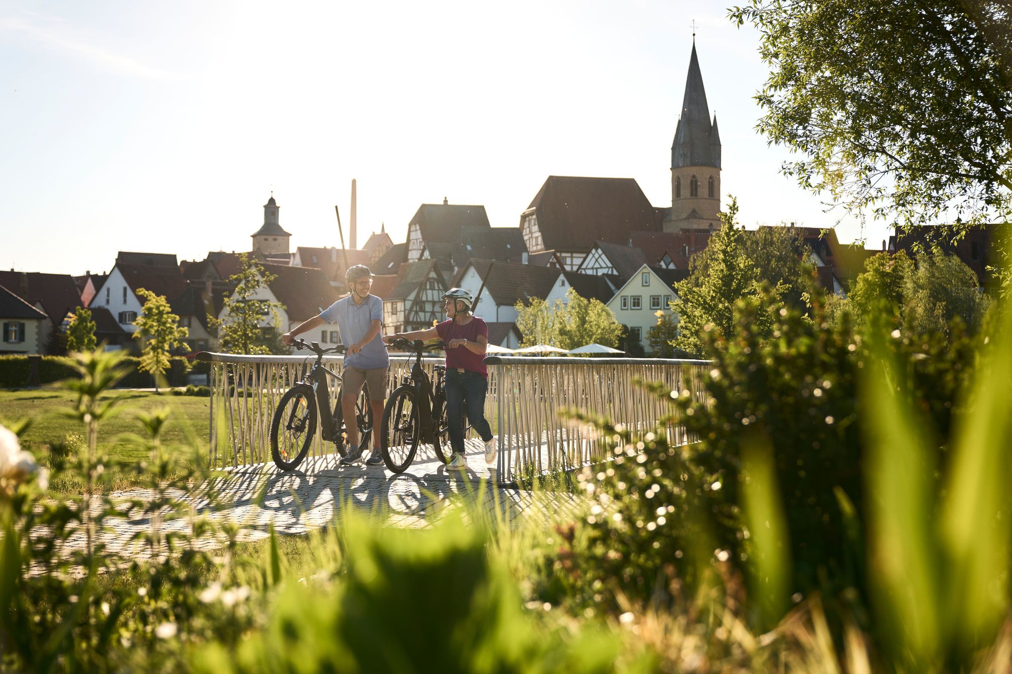
Half-timbered houses and superb cycling tours – the best of the South

The National Natural Landscapes in Bavaria
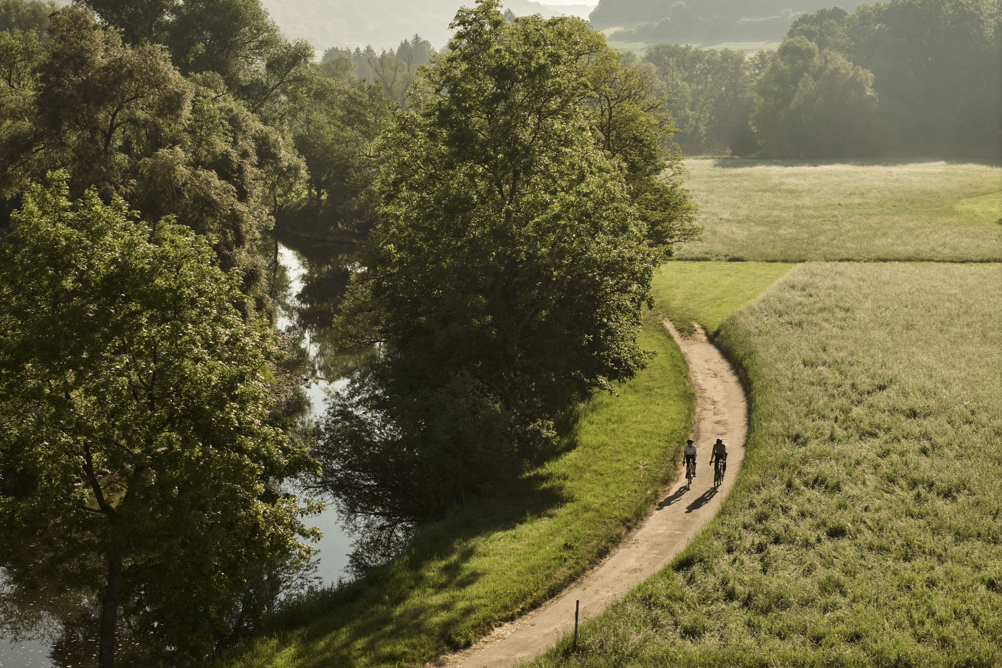
River delights & timber frames – riverside cycling in Süden ganz oben
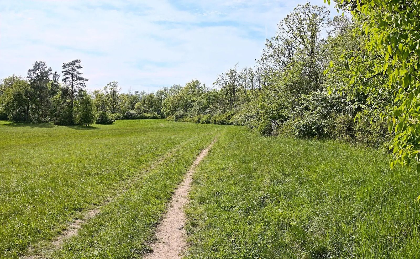
Gravel meets rail – gravel rides in the greater Nuremberg area
Other adventures in Naturpark Frankenhöhe


Tips from the Community

From here you have a beautiful view of the historic city and city wall. It's worth it, even if you just drive by below.
0
0

Good gravel road on the watershed path;
0
0
Due to the steep section, it is better to plan for driving in a northerly direction;
0
0

I think the term "knee-breaker trail" is an exaggeration. It might be slippery downhill when wet, but always manageable uphill. Good for building fitness going uphill.
0
0

Beautiful view of the historic old town.
1
0
Beautiful view of Rothenburg from the double bridge over the Herrnmühle;
0
0
Beautiful and easy-to-ride section in the Steinbachtal;
0
0
Definitely only recommended as a downhill route; it's quite steep, rocky, and washed out, and the extension, the Kniebrecherin Trail, to Steinbach is rideable - although it should be enjoyed with caution.
0
0
Frequently Asked Questions
What is the general difficulty level of mountain bike trails in Naturpark Frankenhöhe?
Naturpark Frankenhöhe offers a diverse range of mountain bike trails suitable for various skill levels. While there are 163 easy routes and 18 difficult ones, the majority of the trails, numbering 482, are classified as moderate. The park's varied terrain, with mixed woodlands, river valleys, and hilly sections, provides options from gentle rides to more demanding paths with significant elevation changes.
Are there family-friendly mountain bike routes in Naturpark Frankenhöhe?
Yes, Naturpark Frankenhöhe features family-friendly mountain bike routes. The park's moderate differences in altitude are generally manageable for many, and there are numerous easy circular routes suitable for all mountain bikers. These trails often pass through forests and meadows, offering a pleasant experience for families.
Can I bring my dog on the mountain bike trails in Naturpark Frankenhöhe?
While many trails in Naturpark Frankenhöhe are suitable for dogs, it's always recommended to keep your dog on a leash, especially in nature reserve areas or near wildlife. Be mindful of other trail users and ensure your dog is well-behaved and doesn't disturb the local fauna. Always carry water for your dog, particularly on longer rides.
What kind of natural features and attractions can I see along the mountain bike trails?
Mountain bike trails in Naturpark Frankenhöhe offer a rich blend of natural beauty and cultural sights. You can explore mixed woodlands, streams, and river valleys like the Tauber River. The region also features the European Watershed, providing unique routes with gentle landscape views. Culturally, you might encounter charming towns, castles such as Burg Colmberg, and historical sites like the Rothenburg ob der Tauber Market Square or the Kobolzeller Gate.
Are there mountain bike trails with scenic viewpoints in Naturpark Frankenhöhe?
Yes, several mountain bike trails in Naturpark Frankenhöhe lead to magnificent viewpoints. The hilly terrain and wooded mountains, particularly those in the western part of the park and along the Hahnenkamm ridge, offer elevated perspectives. Routes along the European Watershed also provide beautiful views of the gentle landscape.
What are the typical lengths of mountain bike trails in Naturpark Frankenhöhe?
The mountain bike trails in Naturpark Frankenhöhe vary significantly in length. For example, the Tauber River – Steinbachtal loop from Rothenburg ob der Tauber is 28.4 km, while the Weinbergtal Trail – Middle Aurach Valley loop from Markt Erlbach extends to 38.8 km. Longer routes like the Petersberg Adventure Trail – Muna Museum Marktbergel loop from Rothenburg ob der Tauber can be over 50 km, offering options for both shorter excursions and full-day adventures.
What do other mountain bikers enjoy most about mountain biking in Naturpark Frankenhöhe?
The mountain biking experience in Naturpark Frankenhöhe is highly rated by the komoot community, with an average score of 4.6 stars from over 900 reviews. Riders often praise the diverse landscape, which includes mixed woodlands, streams, and varied topography. The well-maintained trails and the opportunity to combine nature with cultural sights in charming towns are also frequently highlighted.
Are there places to eat or drink along the mountain bike routes?
Naturpark Frankenhöhe is nestled between historical towns like Rothenburg ob der Tauber, Feuchtwangen, and Ansbach, which offer various amenities including cafes, restaurants, and guesthouses. While specific establishments directly on every trail may vary, these towns and smaller villages along the routes provide opportunities for refreshments and meals.
What is the best time of year for mountain biking in Naturpark Frankenhöhe?
Naturpark Frankenhöhe is located in one of the sunniest regions of Southern Germany, making it suitable for mountain biking through much of the year. Spring and autumn offer pleasant temperatures and beautiful scenery, with vibrant foliage or blooming landscapes. Summer provides shaded trails through the extensive forests. Winter conditions can vary, with some trails potentially becoming muddy or covered in snow, so checking local conditions is advisable.
Are there any permits required for mountain biking in Naturpark Frankenhöhe?
Generally, no specific permits are required for mountain biking on designated trails within Naturpark Frankenhöhe. However, it is always important to respect local regulations, stay on marked paths, and be mindful of nature conservation areas. Adhering to the 'leave no trace' principles helps preserve the park for everyone.
How accessible is Naturpark Frankenhöhe by public transport for mountain bikers?
While specific public transport options directly to every trailhead might be limited, the Naturpark Frankenhöhe is situated near historical towns like Rothenburg ob der Tauber, Feuchtwangen, and Ansbach, which are typically well-connected by regional public transport. From these towns, you may find local bus services or short rides to reach various starting points for mountain bike tours. It's advisable to check local transport schedules and bike carriage policies in advance.
Where can I find parking for mountain biking in Naturpark Frankenhöhe?
Parking facilities are generally available in and around the towns and villages that serve as starting points for mountain bike trails within Naturpark Frankenhöhe. Larger towns like Rothenburg ob der Tauber, Markt Erlbach, and others often have designated parking areas. When planning your route, check the specific starting point for available parking options.
Most popular routes in Naturpark Frankenhöhe
Most popular attractions in Naturpark Frankenhöhe

Get inspired with the komoot mobile app


Explore more
Browse the best MTB trails in other regions.
