The best running trails in Naturpark Frankenhöhe
4.5
(337)
3,736
runners
567
runs
Jogging in Naturpark Frankenhöhe offers diverse and picturesque landscapes for outdoor activity. The region is characterized by mixed forests, flowing waters, dry biotopes, and vineyards, with a varied terrain that includes hilly landscapes and pronounced river valleys. Moderate elevation changes within this gentle low mountain range make for pleasant and manageable running routes. The main European watershed also forms a significant part of the Frankenhöhe, encompassing the upper Altmühl valley.
Best jogging routes in Naturpark Frankenhöhe
- The most popular jogging…
Last updated: July 2, 2026
4.4
(9)
85
runners
9.48km
01:04
140m
140m
Moderate run. Good fitness required. Mostly paved surfaces. Suitable for all skill levels.
63
runners
17.6km
01:49
60m
60m
Hard run. Very good fitness required. Mostly paved surfaces. Suitable for all skill levels.

Sign up for free
4.0
(5)
47
runners
8.65km
00:57
160m
160m
Moderate run. Good fitness required. Mostly paved surfaces. Suitable for all skill levels.
24
runners
15.4km
01:40
200m
200m
Hard run. Very good fitness required. Mostly paved surfaces. Suitable for all skill levels.
5.0
(2)
31
runners
Moderate run. Good fitness required. Mostly paved surfaces. Suitable for all skill levels.
Get access to more routes and recommendations from other explorers.
Sign up for free
Already have an account?
Our route recommendations are based on thousands of hikes, rides, and runs completed by other people on komoot.
Start today with a free account
Your next adventure awaits.
Login or Signup
Popular around Naturpark Frankenhöhe

Main-Danube-Lake Constance Trail – Along iconic waters

Germany's Hohenlohe-Ostalb Cycle Route – From idyllic valleys to the Swabian Alb

The Romantic Road – To the Pearls of Southern Germany
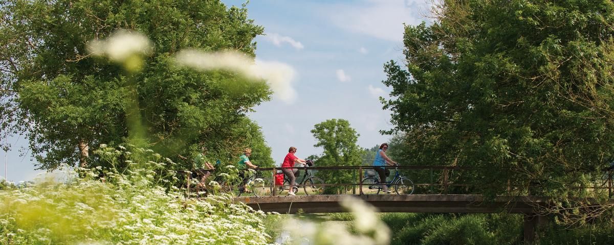
The most beautiful long-distance cycle paths in Franconia
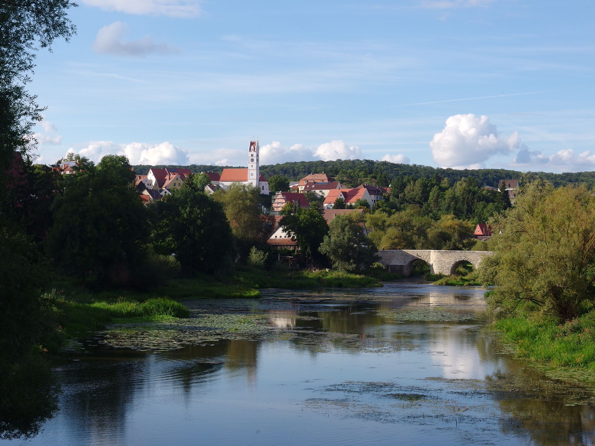
The Romantic Road – 10 fabulous stages
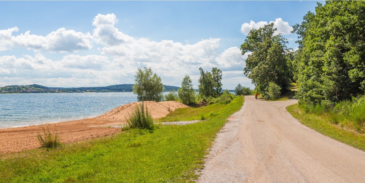
The Franconian Water Bike Path – 8 days of creeks, lakes & rivers
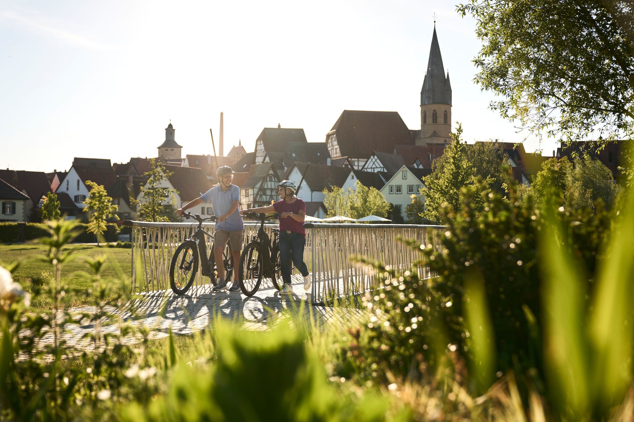
Half-timbered houses and superb cycling tours – the best of the South

The National Natural Landscapes in Bavaria
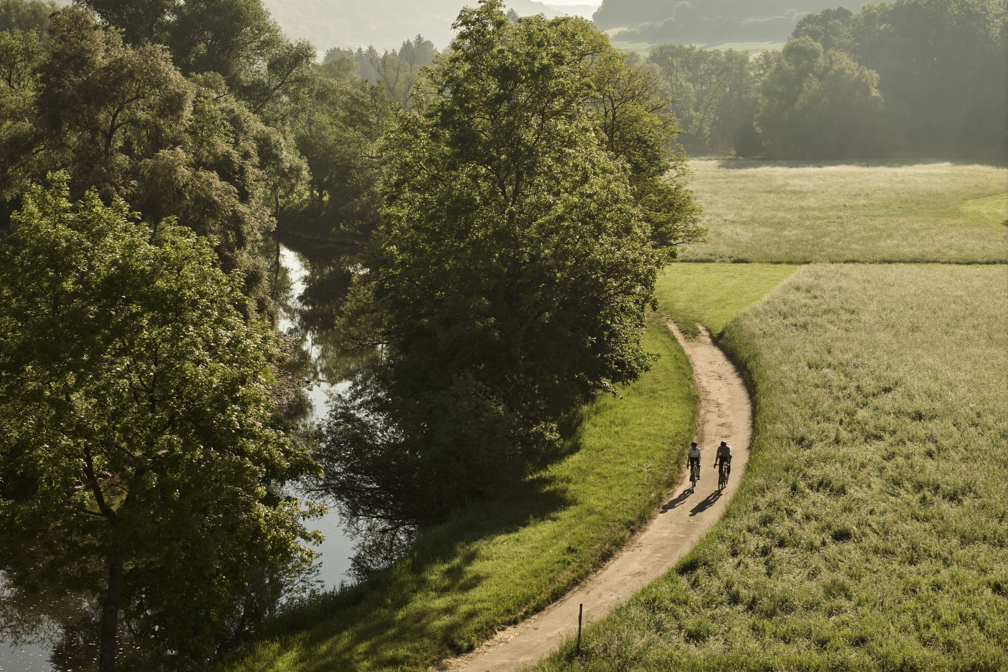
River delights & timber frames – riverside cycling in Süden ganz oben
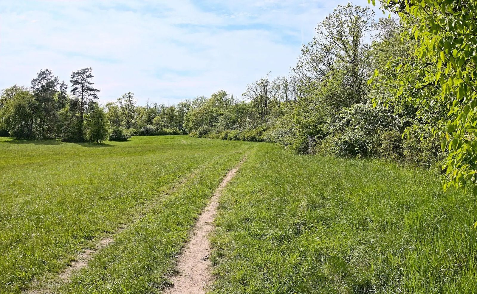
Gravel meets rail – gravel rides in the greater Nuremberg area
Other adventures in Naturpark Frankenhöhe


Tips from the Community

The Klingentor (Klingen Gate) is the northern entrance to the old town and, together with the fortified church of St. Wolfgang, built into the outer defensive ring, forms the Klingentor Bastion. The Klingenturm (Klingen Tower), 37 meters high, was formerly integrated into the city's water supply. It housed a balancing reservoir into which water was pumped from the Bronnen Mill. This water supplied some of Rothenburg's fountains.
5
0

The Rezat meadows are idyllically situated between Ansbach and Lehrberg, between the main road and the railway tracks. There are many ways to spend your time here 😊 Walking, running, cycling, inline skating, hiking, and much more. There's also a children's playground near Neuses. 🛝 In winter, the Rezat meadows are quite suitable for ice skating, as the water freezes completely 🥶. A nearby winter paradise for many children and families. 😌 And the best part: The road between the Ansbach sports park and Wasserzell has a speed limit of 30 km/h, and there are very few cars 🚗
0
0

Mobile Tauber Bridge, even if it gets tight at the 90 degree corners;
0
0

Pyramid roof over octagonal floor plan, quarry stone base above half-timbering, 18th century https://de.wikipedia.org/wiki/Liste_der_Baudenkm%C3%A4ler_in_Neuhof_an_der_Zenn
0
0


Beautiful tower with a beautiful section of the walkable city wall.
4
2

The Tauber cycle path is beautiful to ride
1
0

The city walls of Rothenburg ob der Tauber are one of the most impressive medieval fortifications in Germany. Here are some interesting facts: Length: The city walls surround the old town for a length of about four kilometers. Towers: There are a total of 42 towers along the wall, giving the town its characteristic appearance. Rothenburg Tower Trail: A circular walk that takes about 2.5 hours and runs along the city walls. Information boards along the way tell you more about the history and significance of the towers. Accessibility: Large parts of the city walls are accessible 24 hours a day, allowing for a unique view of the old town and the surrounding countryside.
9
2
Frequently Asked Questions
How many running routes are available in Naturpark Frankenhöhe?
Naturpark Frankenhöhe offers a wide variety of running experiences, with over 580 routes available. These include options for all skill levels, from easy jogs to more challenging trails.
What makes Naturpark Frankenhöhe a great destination for runners?
The Naturpark Frankenhöhe is ideal for running due to its diverse and picturesque landscapes, including mixed forests, flowing waters, and vineyards. The moderate elevation changes make for pleasant and manageable routes, allowing runners to experience nature and silence on secluded paths. It's also known as one of the sunniest regions in Southern Germany, offering a pleasant climate for outdoor activities.
Are there running routes suitable for different fitness levels?
Yes, Naturpark Frankenhöhe caters to all fitness levels. You'll find 85 easy routes perfect for beginners or a relaxed jog, 447 moderate routes for those looking for a good workout, and 55 difficult routes for experienced runners seeking a challenge.
What do other runners say about the trails in Naturpark Frankenhöhe?
The running routes in Naturpark Frankenhöhe are highly rated by the komoot community, with an average score of 4.4 stars from over 300 reviews. More than 3,700 runners have explored the varied terrain, often praising the peaceful environment and well-maintained trails.
Are there any circular running routes in Naturpark Frankenhöhe?
Many of the running routes in Naturpark Frankenhöhe are circular, allowing you to start and finish at the same point. For example, the Bucher Wald loop from Lauterbach is a moderate 6.4-mile (10.2 km) route that takes you through scenic woodlands. Another popular option is The Tauber River loop from Rothenburg ob der Tauber, offering beautiful riverside views.
Can I bring my dog on the running trails in Naturpark Frankenhöhe?
Generally, dogs are welcome on trails in Naturpark Frankenhöhe, but it's always best to keep them on a leash, especially in nature protection areas or near wildlife. Always respect local signage and ensure your dog doesn't disturb other users or animals.
Are there family-friendly running options in the region?
Yes, the moderate elevation changes and varied terrain mean there are many routes suitable for families. Look for the 'easy' rated routes, which often feature well-maintained paths through forests and meadows, perfect for a family outing. The peaceful environment is great for enjoying nature together.
What kind of landscapes can I expect to see while running in Naturpark Frankenhöhe?
Runners in Naturpark Frankenhöhe will experience a diverse range of landscapes. You'll encounter extensive mixed forests, picturesque river valleys like the Tauber and Altmühl, and rolling hills. The region also features dry biotopes, orchards, and even vineyards, particularly on the slopes of the Rangau and Frankenhöhe. The European Watershed also traverses the park, adding to its unique geographical character.
Are there any historical or natural landmarks to see along the running routes?
Yes, Naturpark Frankenhöhe is rich in both natural beauty and cultural proximity. You can explore areas like the Steinbachtal Valley or the scenic Tauber Valley. The region is also nestled near historic towns like Rothenburg ob der Tauber, and you might pass by ancient oak forests, such as those near Colmberg Castle, which offer educational insights into forest preservation.
What is the best time of year to go running in Naturpark Frankenhöhe?
Naturpark Frankenhöhe is enjoyable for running throughout much of the year. As one of the sunniest regions in Southern Germany, spring and autumn offer particularly pleasant temperatures and beautiful scenery. Summer is also great, especially for shaded forest trails. Winter running is possible, but trails might be icy or snowy, so appropriate gear is recommended.
How can I access the running trails using public transport or find parking?
While specific public transport connections vary by starting point, many towns within and around Naturpark Frankenhöhe are accessible by regional buses and trains. For those driving, parking is generally available at trailheads, recreation areas, and near popular attractions. It's advisable to check local information for specific parking facilities at your chosen starting point.
Are there any challenging running trails for experienced runners?
Absolutely. For experienced runners seeking a challenge, Naturpark Frankenhöhe offers several difficult routes. An example is the Zieler Recreation Park – Wasserzeller Mill loop from Lehrberg, a demanding 10.9-mile (17.6 km) path that explores varied scenery and provides a significant workout.
Most popular routes in Naturpark Frankenhöhe
Most popular attractions in Naturpark Frankenhöhe

Get inspired with the komoot mobile app


Explore more
Browse the best Running Trails & Routes in other regions.
