The best road cycling routes in Naturpark Frankenhöhe
4.7
(362)
4,632
riders
578
rides
Road cycling in Naturpark Frankenhöhe offers diverse terrain across approximately 1,100 square kilometers, characterized by rolling hills, mixed woodlands, and river valleys. The region features gentle landscapes shaped by the European Watershed and rivers such as the Wörnitz, Sulzach, and Altmühl. Cyclists can navigate an extensive network of routes through forests, vineyards, and the picturesque Tauber Valley. The varied topography provides suitable conditions for road cyclists seeking undulating terrain.
Best road cycling routes in Naturpark Frankenhöhe
- The most popular road…
Last updated: July 1, 2026
4.9
(8)
254
riders
Moderate road ride. Good fitness required. Mostly well-paved surfaces and easy to ride.
4.9
(7)
129
riders
Easy road ride. Great for any fitness level. Mostly well-paved surfaces and easy to ride.

Sign up for free
4.7
(12)
134
riders
62.4km
02:34
260m
260m
Moderate road ride. Good fitness required. Mostly well-paved surfaces and easy to ride.
4.7
(10)
114
riders
Moderate road ride. Good fitness required. Some segments of this route may be unpaved and difficult to ride.
4.5
(17)
209
riders
50.1km
02:05
280m
280m
Moderate road ride. Good fitness required. Some segments of this route may be unpaved and difficult to ride.
Get access to more routes and recommendations from other explorers.
Sign up for free
Already have an account?
Our route recommendations are based on thousands of hikes, rides, and runs completed by other people on komoot.
Start today with a free account
Your next adventure awaits.
Login or Signup
Popular around Naturpark Frankenhöhe

Main-Danube-Lake Constance Trail – Along iconic waters

Germany's Hohenlohe-Ostalb Cycle Route – From idyllic valleys to the Swabian Alb

The Romantic Road – To the Pearls of Southern Germany
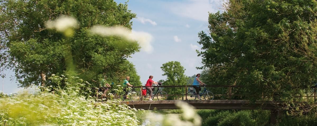
The most beautiful long-distance cycle paths in Franconia
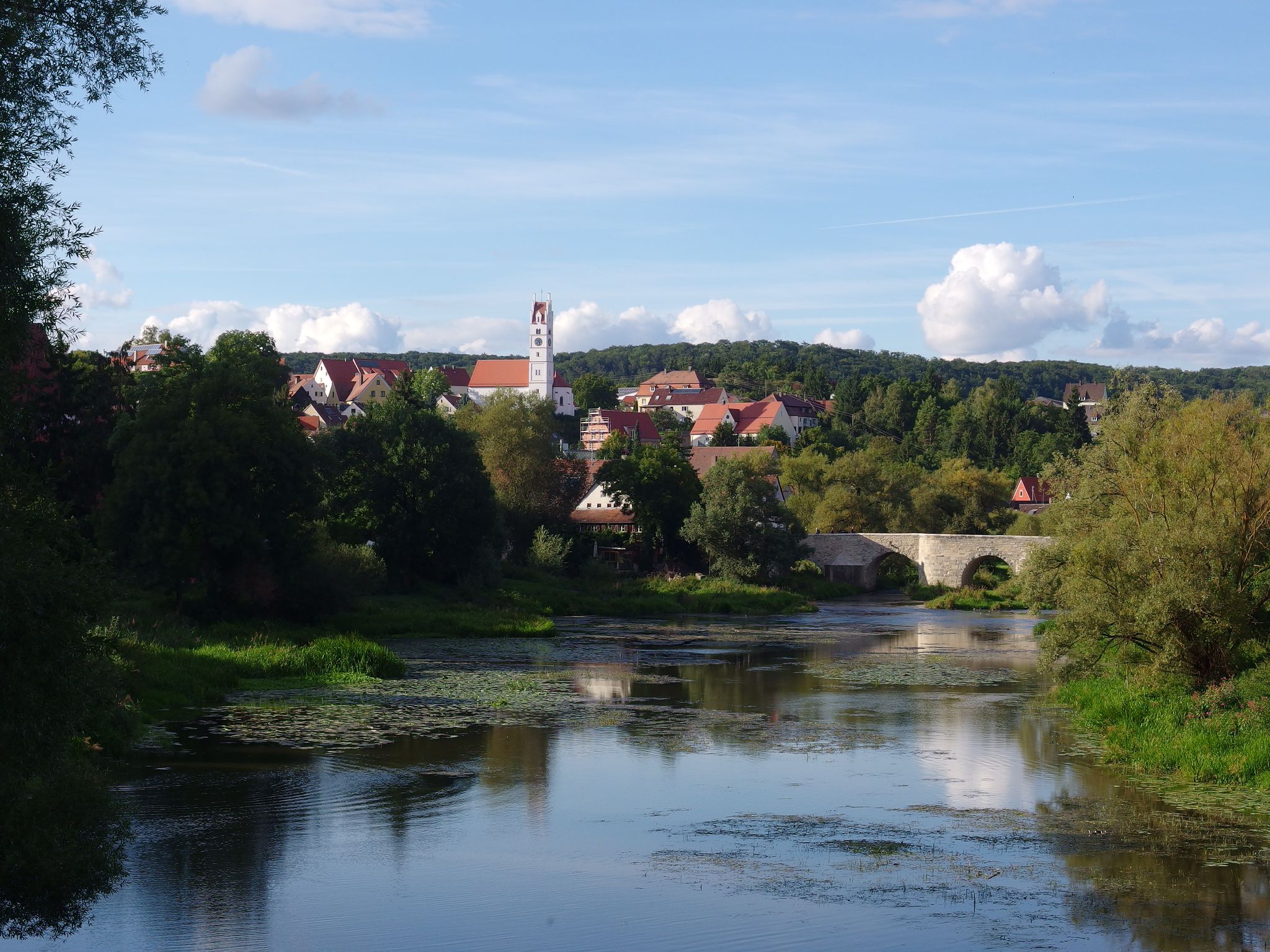
The Romantic Road – 10 fabulous stages
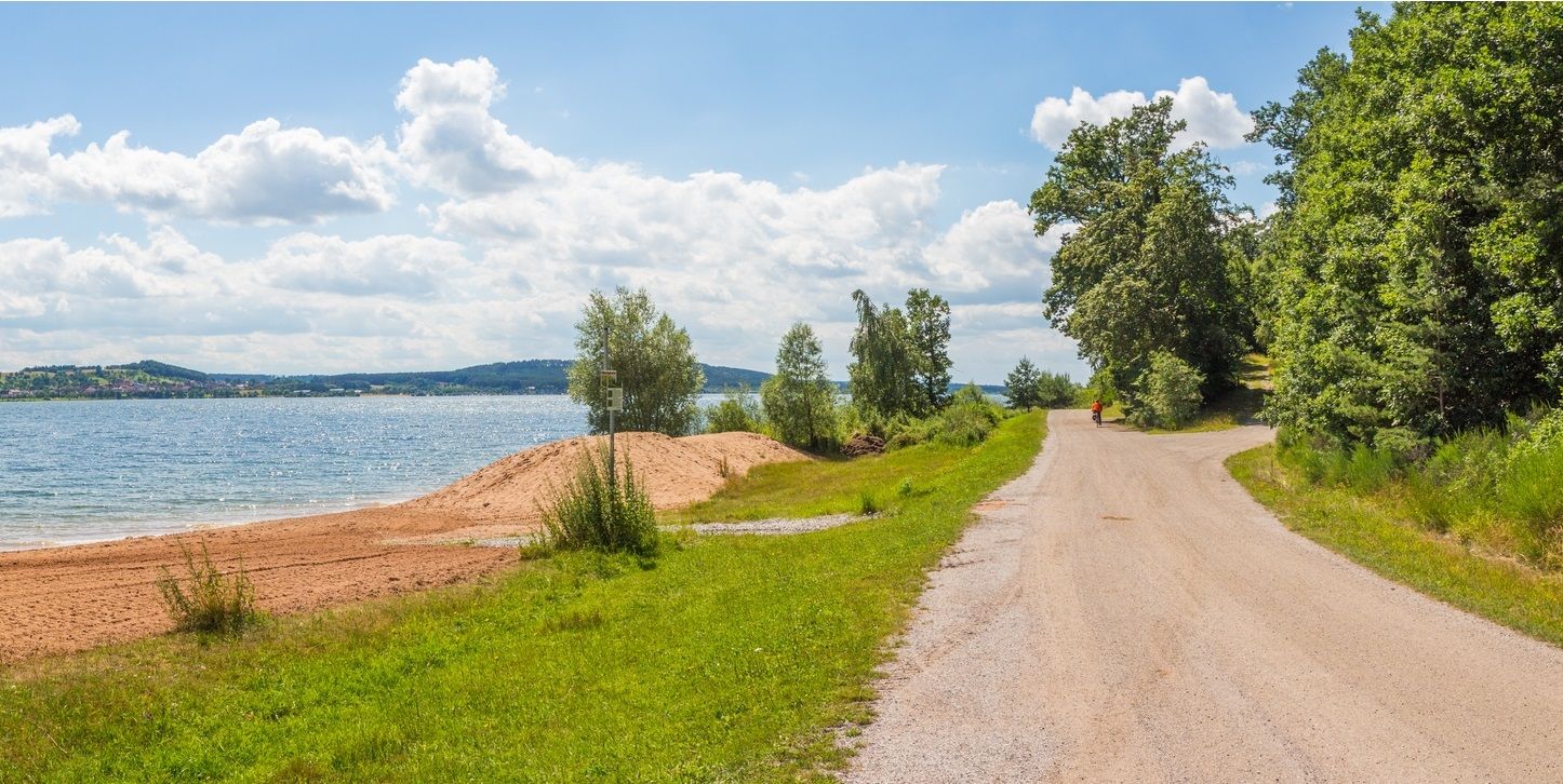
The Franconian Water Bike Path – 8 days of creeks, lakes & rivers
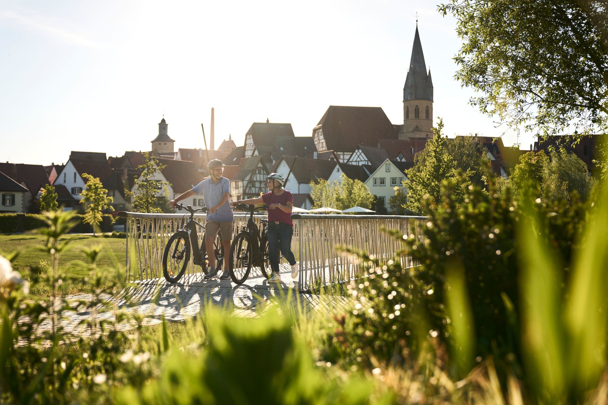
Half-timbered houses and superb cycling tours – the best of the South

The National Natural Landscapes in Bavaria
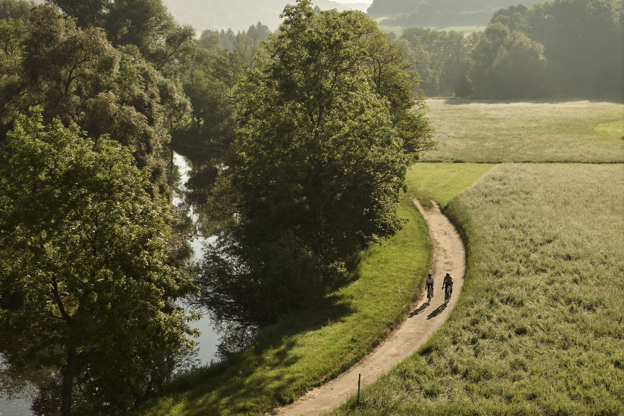
River delights & timber frames – riverside cycling in Süden ganz oben
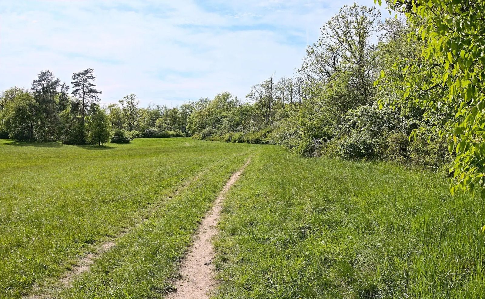
Gravel meets rail – gravel rides in the greater Nuremberg area
Other adventures in Naturpark Frankenhöhe


Tips from the Community

The architectural details of the historic building, which tell of the city's eventful history, are particularly worth seeing. Together with the surrounding half-timbered houses, the Old Town Hall forms a harmonious ensemble that gives the market square its unmistakable character.
0
0

Beautiful half-timbered house, very well maintained
0
0

simply beautiful bridge in a beautiful valley
0
0

“Beware of storks flying low” says it all.
0
0

In the summer, the Klosterhofspiele (Monastery Courtyard Plays) take place in the monastery's inner courtyard. Each year, there's a play for children and usually an entertaining classic for adults. Storks clatter from the roof every now and then during the performance. Tip: Bring a cushion from home.
0
0

Not Tauberbischofsheim but Bad Mergentheim.
0
0

Langenzenn passed into the possession of the Nuremberg burgraves from the House of Hohenzollern around 1248. The monastery, dedicated to Saint Mary, was founded in 1409 by John III and Frederick VI, burgraves of Nuremberg; it was dissolved in 1533 during the Reformation. The monastery, with its Gothic cloister, has been preserved.
1
0
Cycle path with good surface - it's easy to roll here
1
0
Frequently Asked Questions
What kind of terrain can I expect for road cycling in Naturpark Frankenhöhe?
Naturpark Frankenhöhe offers diverse terrain, characterized by rolling hills, mixed woodlands, and picturesque river valleys like the Tauber Valley. The region features gentle landscapes shaped by the European Watershed, providing undulating routes suitable for road cyclists. About one-third of the park is covered by forests, and several rivers such as the Wörnitz, Sulzach, and Altmühl traverse the area, adding to its scenic beauty.
Are there road cycling routes for beginners in Naturpark Frankenhöhe?
Yes, Naturpark Frankenhöhe has options for various ability levels, including easy paths. An excellent route for beginners is the Banderbacher Straße Cycle Path – View of Cadolzburg loop from Dietenhofen, an easy 29.0-mile (46.7 km) trail that offers pleasant views towards Cadolzburg.
What cultural and natural attractions can I see along road cycling routes?
Beyond its natural beauty, the park is rich in cultural gems. You can explore historical towns like Rothenburg ob der Tauber, Feuchtwangen, and Ansbach. Along the routes, you might encounter interesting sites such as the Fingalshöhle Sandstone Quarry or the Historic rock cellars (Felsenkeller). The region also features the scenic Tauber Valley, which is part of the famous Romantic Road route.
When is the best time of year for road cycling in Naturpark Frankenhöhe?
Naturpark Frankenhöhe is known as one of the sunniest regions in Southern Germany, making it pleasant for outdoor activities. While cycling is enjoyable throughout the warmer months, spring and autumn often provide ideal conditions with milder temperatures and beautiful scenery. The varied landscapes, including river loops, forests, and vineyards, are particularly stunning during these seasons.
Are there family-friendly road cycling options in Naturpark Frankenhöhe?
The region offers a variety of routes, and many are suitable for families, especially those looking for less challenging terrain. The extensive network of trails includes paths through river valleys and gentle landscapes. For specific family-friendly routes, look for those marked as 'easy' in the guide, which typically have lower elevation gains and well-maintained surfaces.
What do other road cyclists enjoy the most about road cycling in Naturpark Frankenhöhe?
The komoot community highly rates road cycling in Naturpark Frankenhöhe, with an average score of 4.7 stars from over 300 reviews. Cyclists often praise the diverse landscapes, including mixed woodlands and river valleys, and the extensive network of routes that cater to different ability levels. The region's natural beauty and cultural attractions are frequently highlighted as key enjoyment factors.
How many road cycling routes are available in Naturpark Frankenhöhe?
There are over 600 road cycling routes available in Naturpark Frankenhöhe, offering a wide range of options for cyclists. This includes 124 easy routes, 455 moderate routes, and 37 difficult routes, ensuring there's something for every skill level.
Are there circular road cycling routes in Naturpark Frankenhöhe?
Yes, many road cycling routes in Naturpark Frankenhöhe are designed as loops, allowing you to start and end at the same point. An example is the Sterpersdorf Mill – Lower Gatehouse Uehlfeld loop from Dietersheim, a moderate 38.6-mile (62.1 km) path that traverses varied landscapes.
What are some moderate road cycling routes in the area?
For those seeking a moderate challenge, the Tauber Valley Cycle Path – Toppler's Little Castle loop from Rothenburg ob der Tauber is a popular choice. This 21.7-mile (34.9 km) trail leads through the scenic Tauber Valley and is typically completed in about 1 hour 35 minutes. Another option is the Tauber Valley Cycle Path – Tauber Valley Cycle Path loop from Rothenburg ob der Tauber, which is 32.3 miles (52.1 km) long.
Are there any specific viewpoints or natural features to look out for?
Naturpark Frankenhöhe is rich in natural features. The European Watershed runs through the park, offering gentle landscapes and scenic views. You can also enjoy the beauty of the Tauber Valley and the Hohenlohe Plain in the western part of the park. Keep an eye out for the impressive over 200-year-old oak forest near Colmberg Castle, which is a notable natural landmark.
Can I find cafes or accommodation suitable for cyclists in Naturpark Frankenhöhe?
The broader Franconia region, including Naturpark Frankenhöhe, is known as a 'Bicycling Heaven,' suggesting a good infrastructure for cyclists. While specific cafes or accommodations are not listed here, towns within and around the park like Rothenburg ob der Tauber, Feuchtwangen, and Ansbach are likely to offer various services for visitors, including places to eat and stay.
What is the average elevation gain on road cycling routes in Naturpark Frankenhöhe?
The routes in Naturpark Frankenhöhe are characterized by rolling hills, meaning you can expect undulating terrain rather than steep, sustained climbs. For example, the Upper Gate Leutershausen – View of Gastenfeldener Kühberg loop from Buch am Wald, an easy 16.3-mile (26.2 km) route, has an elevation gain of approximately 170 meters.
Most popular routes in Naturpark Frankenhöhe
Most popular attractions in Naturpark Frankenhöhe

Get inspired with the komoot mobile app


Explore more
Browse the best Road cycling routes in other regions.
